The best running trails in Nith Estuary
4.0
(1)
146
runners
16
runs
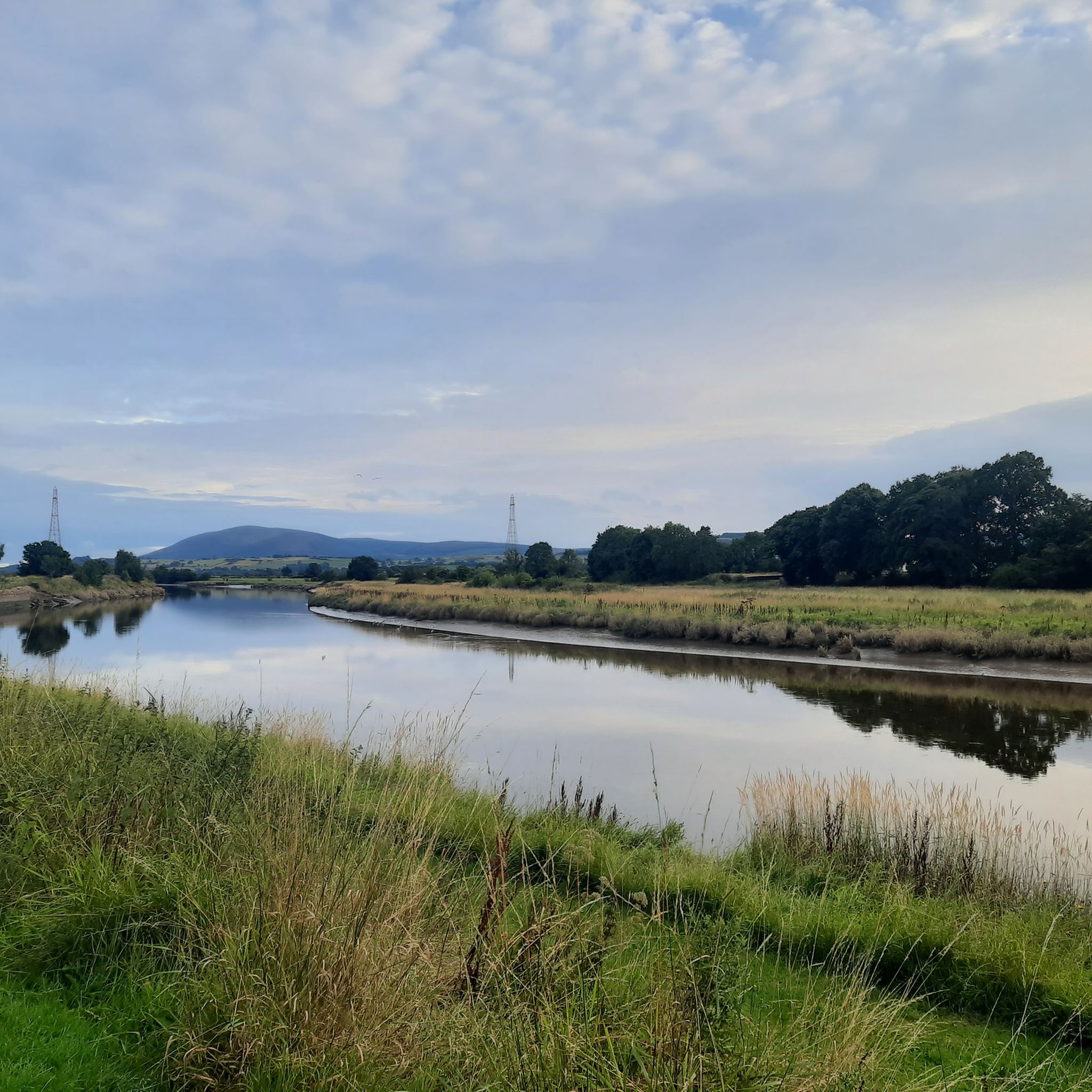
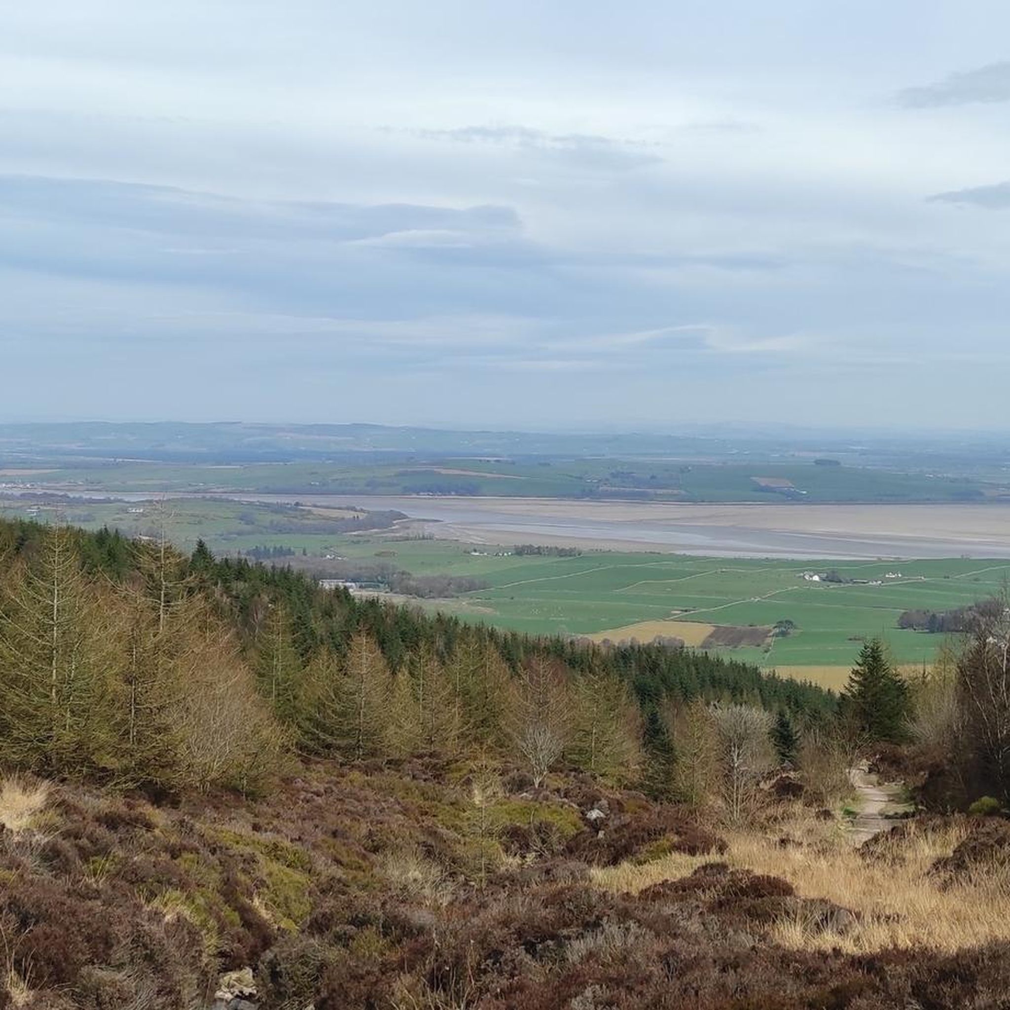
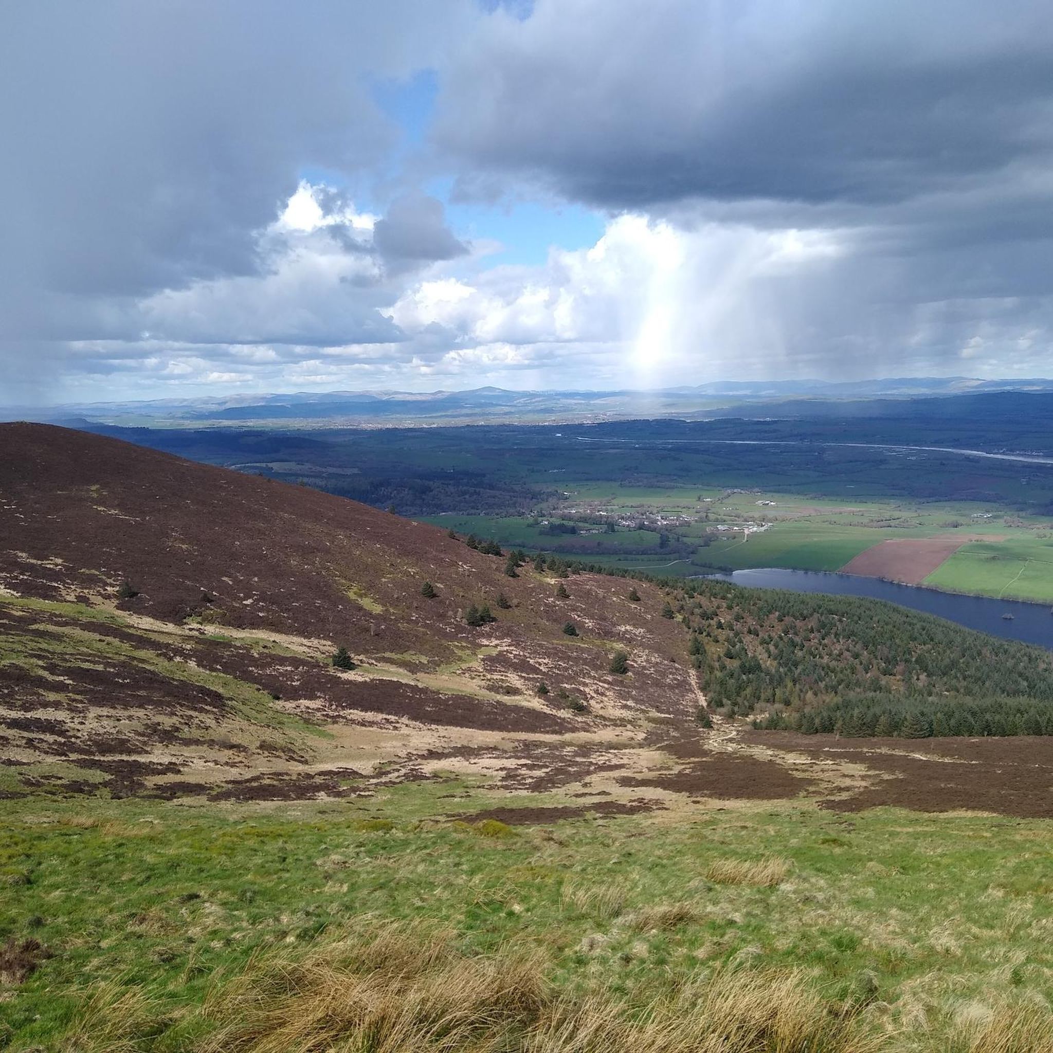
Jogging in Nith Estuary offers diverse routes through a designated National Scenic Area in southwest Scotland. The landscape features the prominent Criffel mountain, extensive tidal flats, and the winding River Nith. Joggers can explore varied terrain, from coastal grasslands and river paths to woodland trails within Mabie Forest, providing a range of elevations and scenic backdrops. The area's geology includes raised beach deposits and glacial sands, contributing to its unique character.
Best jogging routes in Nith Estuary
- The most popular…
Last updated: June 25, 2026
29
runners
8.80km
01:07
240m
240m
Moderate run. Good fitness required. Mostly accessible paths. Some sure footedness required.
25
runners
20.1km
02:31
430m
430m
Hard run. Very good fitness required. Mostly accessible paths. Some sure footedness required.

Sign up for free
17
runners
9.22km
01:06
220m
220m
Moderate run. Good fitness required. Mostly accessible paths. Some sure footedness required.
9
runners
8.36km
01:03
170m
170m
Moderate run. Good fitness required. Mostly accessible paths. Some sure footedness required.
6
runners
13.3km
01:45
370m
370m
Hard run. Very good fitness required. Mostly accessible paths. Some sure footedness required.
Get access to more routes and recommendations from other explorers.
Sign up for free
Already have an account?
Our route recommendations are based on thousands of hikes, rides, and runs completed by other people on komoot.
Start today with a free account
Your next adventure awaits.
Login or Signup
Popular around Nith Estuary
Tips from the Community

A nice waymarked trail leads up and around this hill offering superb views of the forest and sea beyond
0
0
There's a good little blue and red loop here with berms, rock drops etc. Its only a few hundred metres long, so you can do multiple laps. Then further up the hill is a short loop with tabletop jumps, and above this again is a fourcross course
0
0
This is a steep, rocky staircase but get your weight back over the back wheel and its all ridable
1
0
Lots of options in this part of the trail to pick the fastest line between the trees and across the roots
0
0
Towards the top of this climb there is suddenly a cambered boardwalk section of trail. Push on and enjoy!
0
0
Big berms and jumps a plenty on this fast and flowing descent. Great fun!
0
0
Nice gravel trails through a beautiful deciduous forest
0
0

Descender Bender on the red trail drops off Hillhead Hill and races down through a series of berms and whoops, it's a great section of flowy trail.
0
0
Frequently Asked Questions
How many running routes are available in the Nith Estuary?
The Nith Estuary offers a diverse selection of over 20 running routes. These include 16 moderate and 8 difficult trails, providing options for various fitness levels.
What is the best time of year to go jogging in the Nith Estuary?
The Nith Estuary is beautiful year-round, but for wildlife spotting, particularly migratory birds like Barnacle Geese, Pintail, and Shelduck, the period from October to March is ideal. The Mabie Forest trails offer sheltered woodland running, which can be pleasant in various seasons.
What are the typical terrain and difficulty levels of running trails in the Nith Estuary?
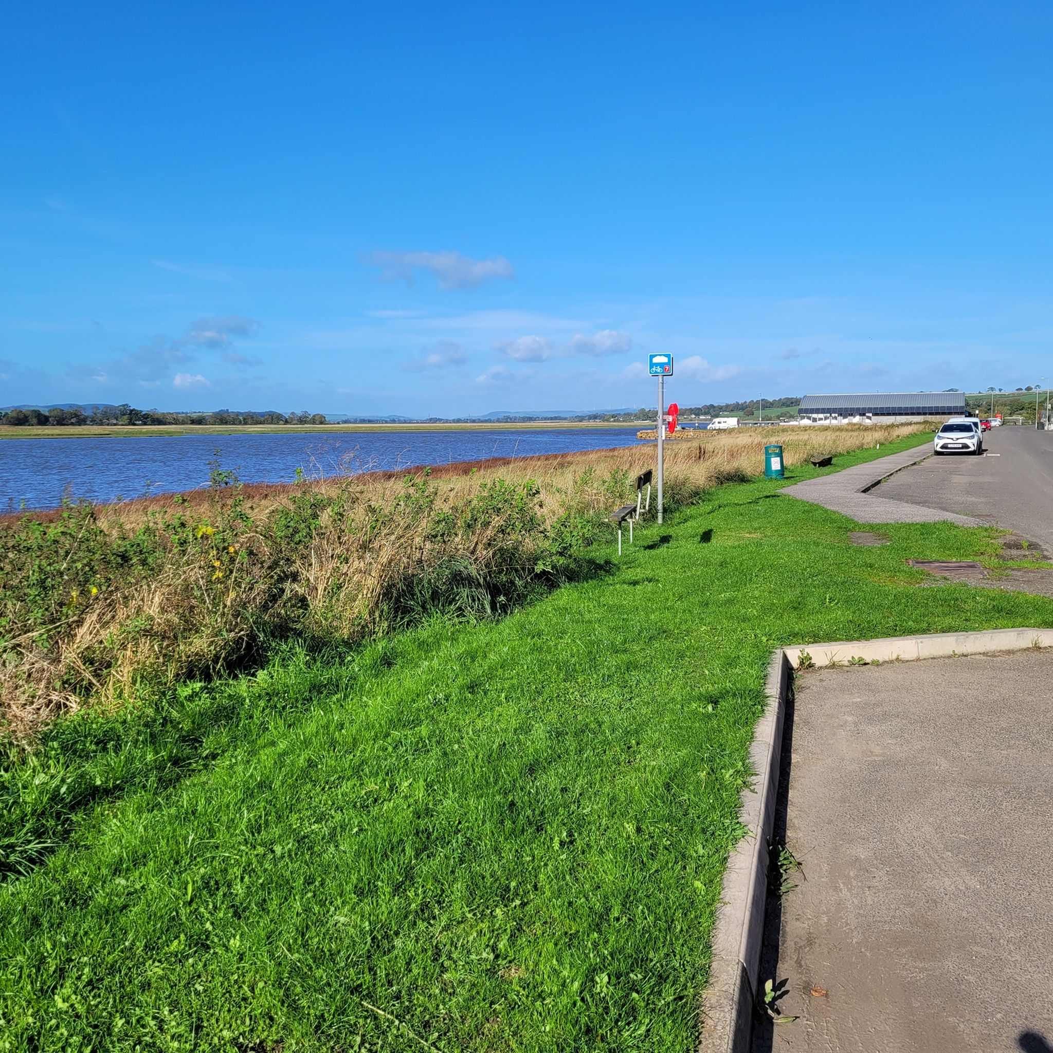
The Nith Estuary features varied terrain, from the relatively level paths of the National Cycle Route 7 (NCN7) along the tidal flats to the challenging ascents of Criffel. You'll find coastal grasslands, river paths, and woodland trails within areas like Mabie Forest. Routes range from moderate to difficult, with significant elevation changes on trails leading up Criffel.
Are there any interesting landmarks or sights to see while jogging in the Nith Estuary?
Absolutely! The Nith Estuary is rich in historical and natural landmarks. You can explore the impressive medieval Caerlaverock Castle, the serene Sweetheart Abbey Ruins, or enjoy panoramic views from Criffel Summit or Knockendoch Summit. Many routes also pass through the scenic Mabie Forest.
Can I spot any wildlife during my run in the Nith Estuary?
Yes, the Nith Estuary is a haven for wildlife. The extensive tidal flats and merse are crucial habitats for wintering waders and waterfowl, including the entire wintering population of Svalbard Barnacle Geese, Pintail, Shelduck, and Scaup. The coastal merse is also home to the UK's northernmost population of Natterjack Toads, offering unique wildlife spotting opportunities.
What do other runners say about the jogging routes in the Nith Estuary?
The running routes in the Nith Estuary are highly rated by the komoot community, with an average score of 4.0 stars. Over 300 runners have explored the area, often praising the dramatic Criffel mountain backdrop, the expansive tidal flats, and the accessible woodland paths like those in Mabie Forest.
Are there family-friendly jogging routes in the Nith Estuary?
While many routes involve varied terrain, the National Cycle Route 7 (NCN7) offers mainly level paths with minor undulations, making it suitable for families. For specific stroller access, it's best to check individual route descriptions, as some woodland trails might be uneven.
Are there any circular running routes in the Nith Estuary?
Yes, many of the routes in the Nith Estuary are circular, allowing you to start and finish at the same point. Examples include the Mabie Forest & Marthrown Hill loop and the challenging Knockendoch – Criffel loop from New Abbey.
Where can I find parking for jogging trails in the Nith Estuary?
Parking is available at various points along the Nith Estuary. For routes along the NCN7, you can often find parking near access points like Dock Park car park in Dumfries. For trails within Mabie Forest, designated car parks are usually available. It's advisable to check the starting point of your chosen route for specific parking information.
Is public transport available to reach jogging trailheads in the Nith Estuary?
Public transport options exist to reach parts of the Nith Estuary. For instance, the NCN7 runs downstream from Dock Park in Dumfries, which is accessible by public transport. However, for more remote trailheads, especially those leading to Criffel or deeper into Mabie Forest, personal transport might be more convenient. You can consult local bus schedules for specific access points.
Are there any cafes or pubs near the jogging routes in the Nith Estuary?
Yes, you'll find options for refreshments. Caerlaverock Castle, a notable landmark along some routes, has a visitor centre and tearoom. Additionally, nearby villages and towns like New Abbey offer local cafes and pubs where you can refuel after your run.
Are permits required for jogging in the Nith Estuary?
Generally, no specific permits are required for jogging on public paths and trails within the Nith Estuary. However, always respect private land and follow any local signage. For detailed information on core paths, you can refer to resources like the Dumfries & Galloway Council's Core Path Maps: Nith Estuary Core Path Map.
Most popular routes in Nith Estuary
Most popular attractions in Nith Estuary

Get inspired with the komoot mobile app


Explore more
Browse the best Running Trails & Routes in other regions.
