The best walks and hikes around Ohlstadt
4.5
(3723)
20,375
hikers
127
hikes
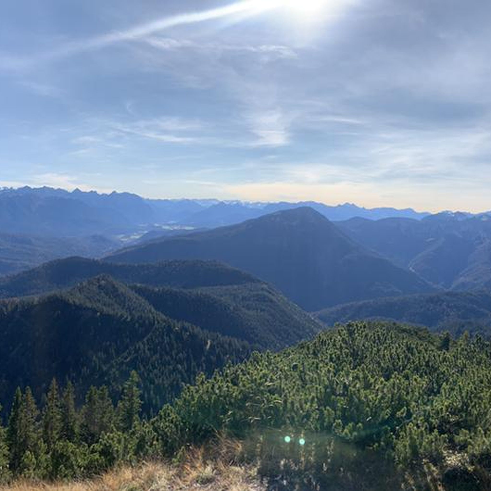
Hiking around Ohlstadt, situated in the Loisachtal valley, presents a varied landscape for outdoor pursuits. The area is defined by its prominent mountain peaks, including Heimgarten and Herzogstand, alongside extensive moorlands like the Murnauer Moos. Trails traverse dense forests, follow streams to the Kaltwasser Waterfalls, and offer views of surrounding valleys and lakes.
Best hiking trails around Ohlstadt
- The most popular hiking route is Stream of the Kaltwasserfälle – Kaltwasser Waterfalls loop from Ohlstadt, an 8.6 miles (13.9 km)…
Last updated: September 27, 2026
4.8
(274)
1,393
hikers
13.9km
06:40
1,090m
1,090m
Hard hike. Very good fitness required. Mostly accessible paths. Sure-footedness required.
4.7
(146)
745
hikers
11.8km
04:25
720m
720m
Hard hike. Good fitness required. Sure-footedness, sturdy shoes and alpine experience required.

4.5
(107)
538
hikers
11.5km
04:18
620m
620m
Moderate hike. Good fitness required. Mostly accessible paths. Sure-footedness required.
4.8
(234)
1,527
hikers
11.5km
05:42
1,020m
1,010m
Hard hike. Very good fitness required. Mostly accessible paths. Sure-footedness required.
4.5
(64)
232
hikers
13.2km
03:47
310m
310m
Moderate hike. Good fitness required. Mostly accessible paths. Sure-footedness required.
Get access to more routes and recommendations from other explorers.
Already have an account?
Our route recommendations are based on thousands of hikes, rides, and runs completed by other people on komoot.
Start today with a free account
Your next adventure awaits.
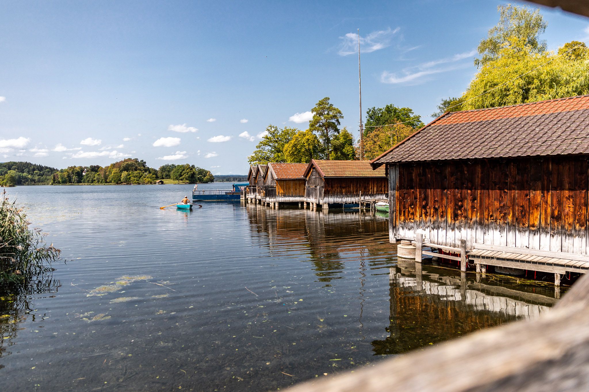
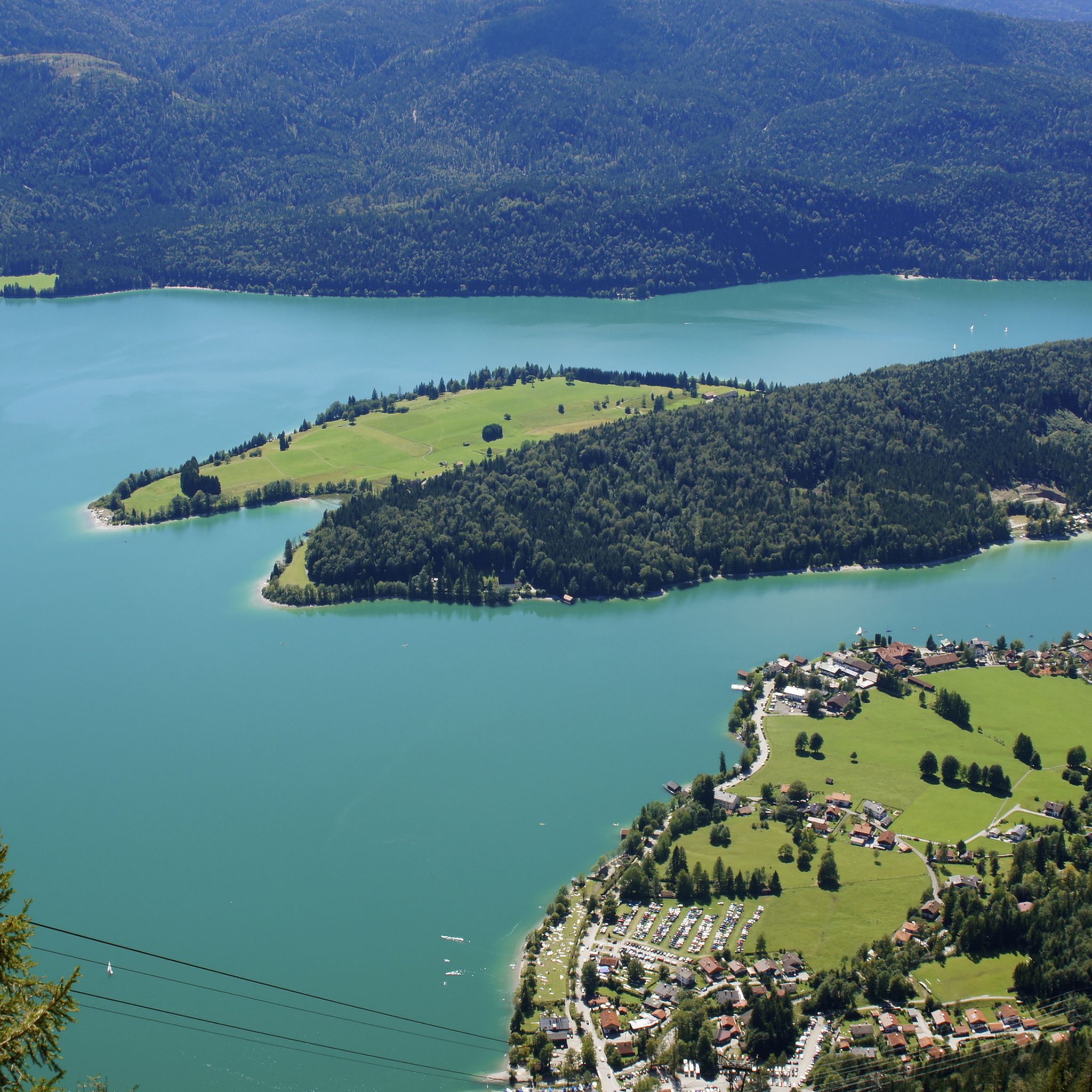
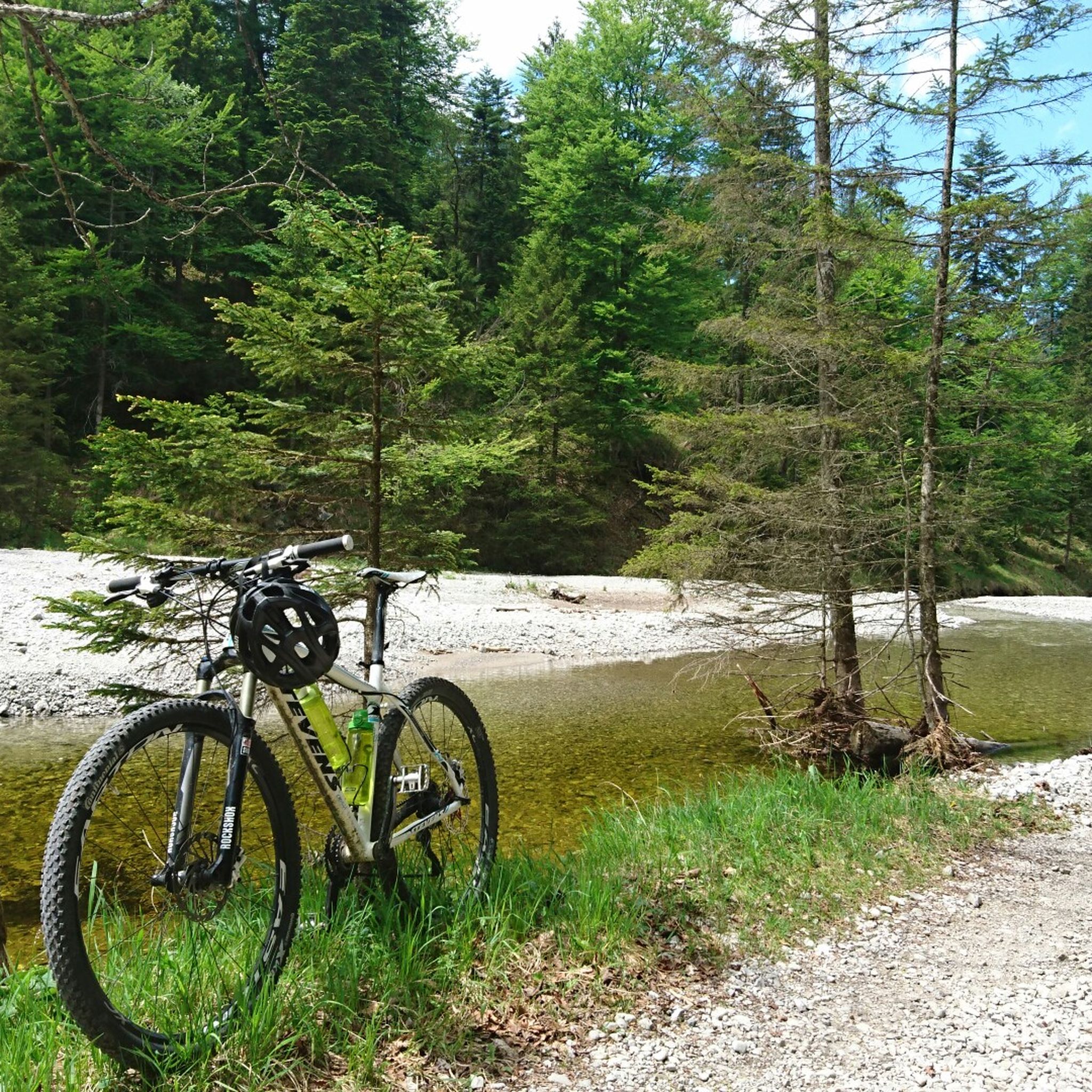

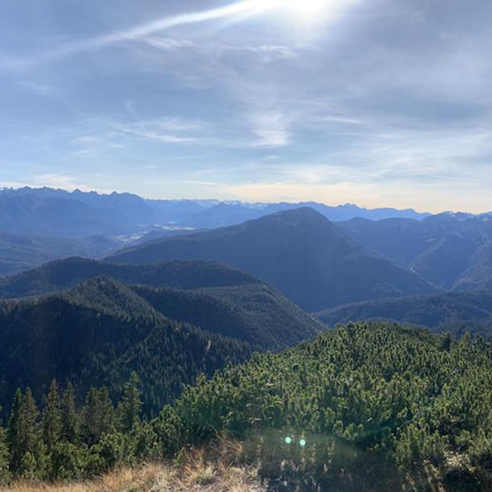
Other adventures around Ohlstadt

Tips from the Community

Also one of the top spots on the tour.
0
0

Much lonelier than its neighbor, the Heimgarten, is the 1,590-meter-high Rauheck. But the view to the north is also very beautiful from there. And near the summit cross is also the Asam point, the summit cross and three church towers (Ohlstadt, Weichs and Ähndl) on a straight line of sight, determined by the Murnau doctor Dr. Stefan Asam in 1850.
0
0

Beautiful little waterfalls in a stunning landscape. There is also plenty of seating available.
0
0

The cloud cover has been broken here at about 1500m altitude, a wonderful moment when you come out of the fog and see the bright blue sky, absolutely surreal pictures taken at 5m 🙏
0
0

Mega view from the summit cross.
2
0

It starts here. Then it goes up.
1
0

The ascent is demanding, but from the top, there is a sensational view.
1
1

The tour isn't signposted or marked, but it follows clearly visible paths and trails throughout. In early spring, however, the trails can be quite muddy.
1
0
Frequently Asked Questions
What types of hiking trails can I find around Ohlstadt?
Ohlstadt offers a diverse range of hiking trails, from easy walks through the vast Murnauer Moos moorland and around Staffelsee Lake, to challenging mountain ascents up peaks like Heimgarten and Herzogstand. You'll find paths through dense forests, along streams to waterfalls, and routes with panoramic views of the Loisachtal valley and surrounding mountains.
Are there easy hiking trails suitable for beginners or families in Ohlstadt?
Yes, Ohlstadt has several easy and family-friendly options. The circular route around Staffelsee Lake is highly recommended for its gentle terrain and scenic views. The Murnauer Moos also offers accessible wooden plank trails, perfect for an easier experience with fantastic mountain backdrops. For a moderate option, consider the Kaltwasser Waterfalls – Great Illing Summit loop from Ohlstadt.
What natural attractions can I discover while hiking near Ohlstadt?
Hikers can explore the scenic Kaltwasser Waterfalls, which provide a beautiful landscape and relaxing spots. The vast Murnauer Moos, one of Central Europe's largest moor areas, offers unique flora and fauna. For breathtaking panoramic views, trails lead to the summits of Heimgarten and Herzogstand, overlooking lakes like Kochelsee and Walchensee.
Are there any historical sites to explore on hikes in Ohlstadt?
Yes, you can hike to the ruins of Werdenfels Castle, situated high above the Loisach valley. The path to the ruins includes some steep sections but rewards visitors with a fascinating historical site and expansive views over the valley.
When is the best time of year to go hiking in Ohlstadt?
The best seasons for hiking in Ohlstadt are generally spring and autumn. During these times, the weather is mild, nature is vibrant, and the trails are typically less crowded. While some trails are accessible in summer, it can be warmer and busier. Winter hiking is possible, but conditions may require specific gear and experience, especially in higher elevations.
Are dogs allowed on hiking trails in Ohlstadt?
Generally, dogs are welcome on hiking trails around Ohlstadt. However, it's always advisable to keep them on a leash, especially in nature protection areas like the Murnauer Moos, or when passing through pastures with livestock. Please ensure you clean up after your dog to preserve the natural environment for everyone.
Is parking available at the trailheads in Ohlstadt?
Yes, parking is typically available at various trailheads around Ohlstadt. Specific parking information can often be found on local signage or detailed route descriptions on komoot. It's recommended to check the starting point of your chosen route for the most accurate parking details.
Can I reach hiking trails in Ohlstadt using public transport?
Ohlstadt is situated in the Loisachtal valley and is accessible by public transport, making it possible to reach many trailheads without a car. Local bus services and train connections can bring you to the area. For specific routes, it's best to check public transport schedules and connections to the desired starting point.
What do other hikers enjoy the most about hiking in Ohlstadt?
The hiking routes in Ohlstadt are highly rated by the komoot community, with an average score of 4.6 stars from over 3,800 reviews. Hikers frequently praise the diverse landscapes, from the majestic mountain peaks like Heimgarten to the unique Murnauer Moos, and the well-maintained paths that cater to various skill levels.
Are there any challenging mountain tours in Ohlstadt for experienced hikers?
Absolutely. Ohlstadt is an excellent base for challenging mountain tours. The ascent to Heimgarten, Ohlstadt's local mountain, involves a climb of over 1,000 meters and offers spectacular panoramic views. For an even more demanding experience, the ridge walk from Heimgarten to Herzogstand is renowned as one of the best in the Bavarian Prealps, requiring sure-footedness and alpine experience. Consider routes like the Stream of the Kaltwasserfälle – Kaltwasser Waterfalls loop from Ohlstadt or the Kaltwasser Waterfalls – Heimgarten Summit loop from Ohlstadt for significant elevation gains.
Are there any circular hiking routes available in Ohlstadt?
Yes, many of the trails around Ohlstadt are designed as circular routes, allowing you to start and end at the same point. Popular circular options include the easy walk around Staffelsee Lake and various loops exploring the Murnauer Moos or the Kaltwasser Waterfalls area, such as the View of Murnauer Moos – Kaltwasser Waterfalls loop from Ohlstadt.
Most popular routes around Ohlstadt
Most popular attractions around Ohlstadt

Get inspired with the komoot mobile app


Explore more
Browse the best Hikes in other regions.
