The best walks and hikes in East Stewartry Coast
4.7
(154)
1,399
hikers
58
hikes
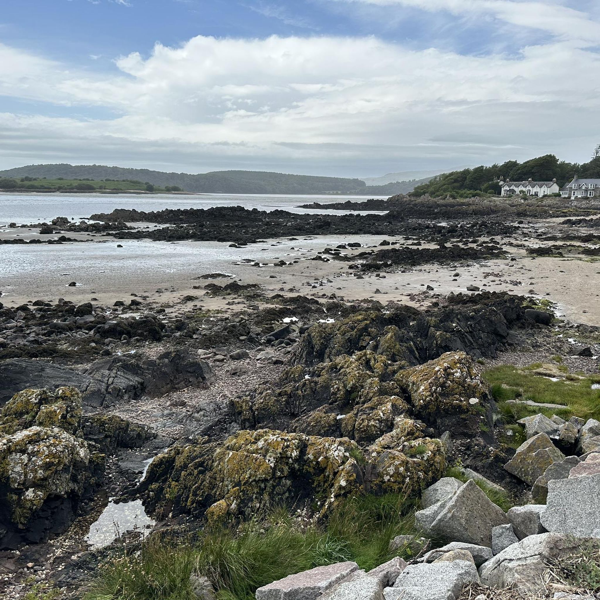
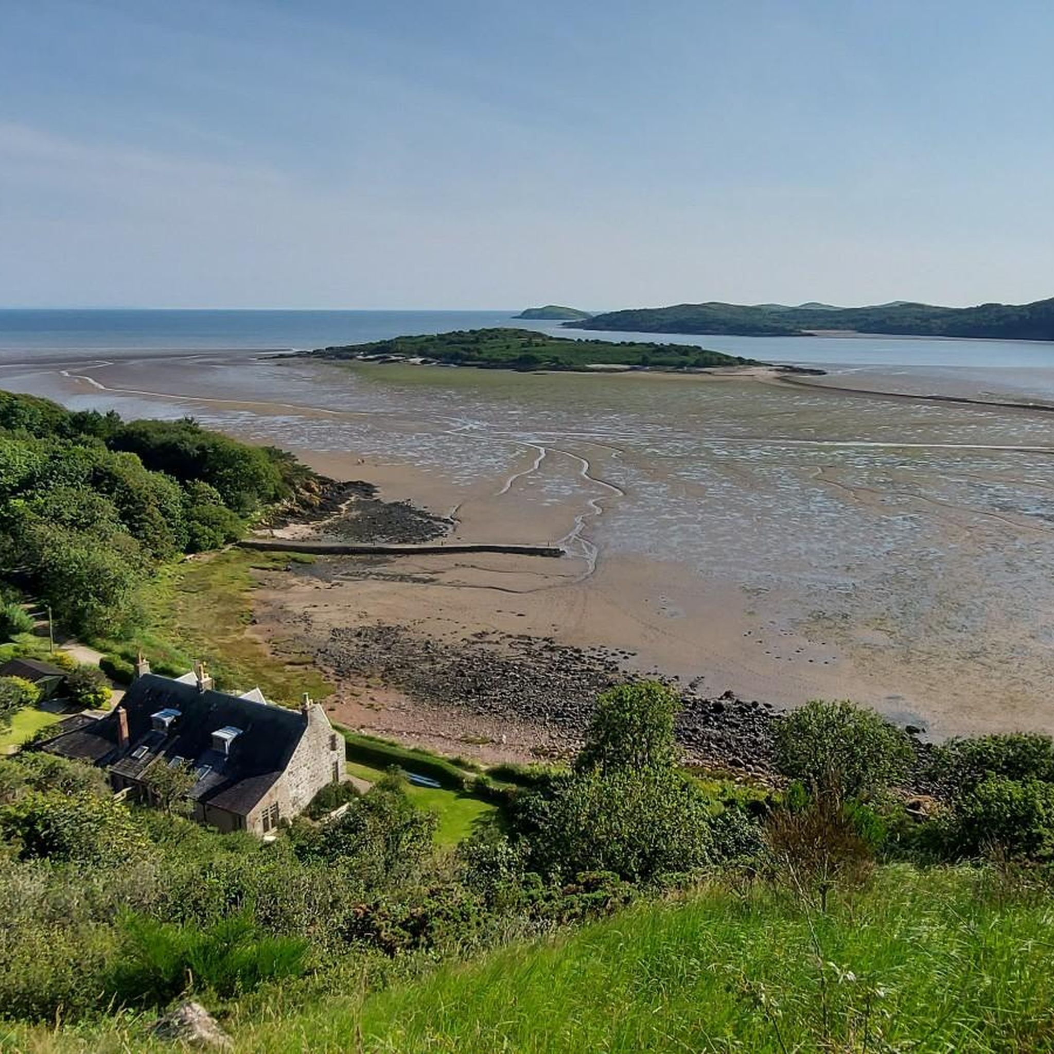
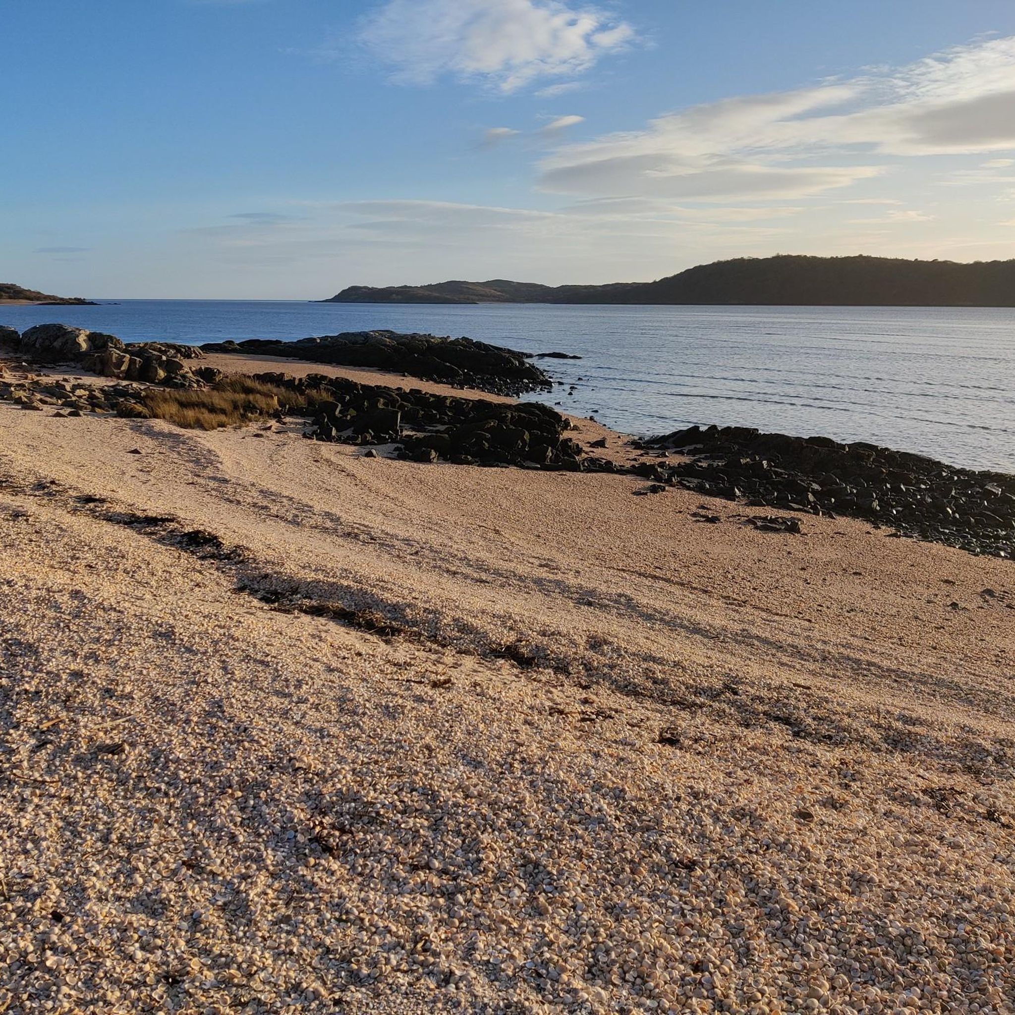
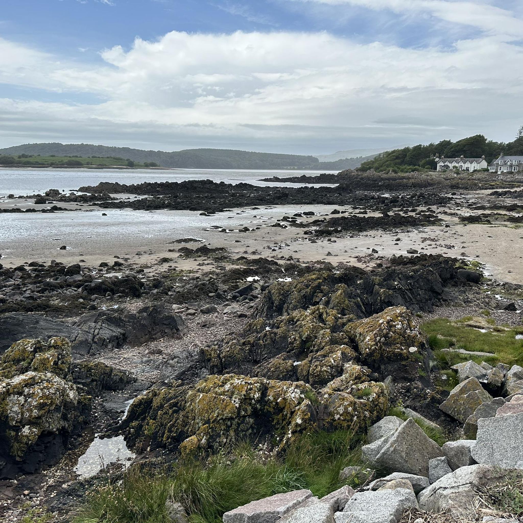
Hiking in East Stewartry Coast offers diverse landscapes, from dramatic clifftop vistas and rugged rocky shores to secluded sandy bays and extensive mudflats. The region features rolling hills, expansive forested areas, and meandering rivers like the Urr Water, alongside serene lochs. This blend of estuarine flats, coastal granite uplands, and narrow wooded valleys creates varied terrain for outdoor activities.
Best hiking trails in East Stewartry Coast
- The most popular hiking route is Balcary and Rascarrel Coastal Trail, a 3.4…
Last updated: July 7, 2026
4.7
(7)
87
hikers
5.41km
01:27
70m
70m
Embark on the Balcary and Rascarrel Coastal Trail, an easy hike spanning 3.4 miles (5.4 km) with a gentle elevation gain of 221 feet (67 metres). You can expect to…
4.6
(14)
51
hikers
4.93km
01:22
90m
80m
Embark on the Kippford to Rockcliffe circular, an easy 3.1-mile (4.9 km) hike with 280 feet (85 metres) of elevation gain, typically completed in about 1 hour and 21 minutes.…

Sign up for free
4.7
(7)
66
hikers
19.5km
05:13
230m
230m
Embark on the Kippford to Sandy Hills return via Rockcliffe Beach trail, a difficult 12.1-mile (19.5 km) hike that takes around 5 hours and 13 minutes to complete. You'll gain…
4.8
(9)
43
hikers
14.7km
03:58
180m
180m
Embark on the Rockcliffe, Castlehill Point & Dalbeattie Forest loop, a moderate hike spanning 9.1 miles (14.7 km) with an elevation gain of 602 feet (184 metres), typically completed in…
4.2
(5)
25
hikers
8.08km
02:11
110m
110m
Moderate hike. Good fitness required. Easily-accessible paths. Suitable for all skill levels.
Get access to more routes and recommendations from other explorers.
Sign up for free
Already have an account?
Our route recommendations are based on thousands of hikes, rides, and runs completed by other people on komoot.
Start today with a free account
Your next adventure awaits.
Login or Signup


Other adventures in East Stewartry Coast

Tips from the Community

After following the trail through the woods you emerge at this pristine beach. a superb destination for a bike ride
0
0
The hike in is more than rewarded by this amazing, secluded white sand beach. The perfect arc of the bay is bordered by rocky outcrops on both sides and the views extend to the mountains across the water in England
0
0
It's a great beach which emerges suddenly from the woods after a rewarding walk in, but keep going because White Port beach is even better
0
0
The golden shell-sand beach and steep cliff walls of this former smuggling hotspot feel more like the Caribbean than Scotland. A must visit!
0
0
There's no castle here anymore, but the views from this promontory of the Galloway coastline and across the Solway Firth to the Cumbrian mountains make this a brilliant destination for a walk. Whichever way you approach the coastal paths are also full of interest
0
0

One of the many secluded and sandy beaches located in the Solway Firth in southern Scotland, however this beach has the advantage of a steep slope, meaning at high tide the water is deep enough to swim right at the shore.
1
0
White Port Beach is a secluded sandy beach in the Solway Firth ideal for swimming. Pack a picnic and take a seat on the sand, enjoying the sublime views across the water.
0
0
Dalbeattie is a beautiful forest made up of a mix of deciduous woodland and conifer forest.
0
0
Frequently Asked Questions
What types of landscapes can I expect to see while hiking in East Stewartry Coast?
The East Stewartry Coast offers a remarkable diversity of landscapes. You'll find dramatic clifftop vistas, rugged rocky shores, secluded sandy bays, and extensive mudflats along the coastline. Moving inland, the scenery transitions to rolling hills, expansive forested areas, and serene lochs like White Loch, providing a rich and varied hiking experience.
Are there any challenging hikes for experienced trekkers?
Yes, while many routes are easy or moderate, there are options for more experienced hikers. For a longer, more demanding coastal journey, consider the Kippford to Sandy Hills return via Rockcliffe Beach, which covers nearly 20 km. For a rewarding hill climb, the region's hills like Screel Hill and Bengairn offer panoramic views, with Bengairn being a prominent option for those seeking a challenge.
What are some good options for circular walks in the area?
The East Stewartry Coast has several excellent circular routes. A popular coastal option is the Kippford to Rockcliffe circular, offering views of the Solway Firth. For a mix of coast and forest, the Rockcliffe, Castlehill Point & Dalbeattie Forest loop is a moderate 14.7 km trail.
Are there any family-friendly hiking trails?
Many trails in East Stewartry Coast are suitable for families. Easy routes like the Balcary and Rascarrel Coastal Trail offer manageable distances and engaging scenery, including clifftop views and woodlands. The picturesque Rockcliffe Beach is also a great spot for families to relax and enjoy the views after a short walk.
Can I bring my dog on the hiking trails?
The East Stewartry Coast is generally dog-friendly, with many trails suitable for walks with your canine companion. However, it's always recommended to keep dogs on a lead, especially in areas with livestock or ground-nesting birds, and to check local signage for any specific restrictions, particularly in nature reserves or protected areas.
What natural features or landmarks can I see along the trails?
The region is rich in natural features and historical landmarks. You can explore prominent headlands like Castlehill Point, enjoy sandy stretches like Rockcliffe Beach, and discover secluded spots like Bogle Hole Cove. Inland, you'll find rolling hills, forests, and the Urr Water river. The solitary Orchardton Tower also adds a historical layer to your explorations.
Are there any waterfalls in the East Stewartry Coast area?
Yes, the region features the unspoiled Mare's Braid Waterfall, which can be explored as part of the Mare's Braid Waterfall and Southwick Water Trail. This easy walk also allows visitors to discover unique saltmarshes and coastal geology.
What is the best time of year to go hiking in East Stewartry Coast?
The East Stewartry Coast is beautiful year-round, but spring and autumn often offer the most pleasant hiking conditions with milder temperatures and fewer crowds. Spring brings blooming wildflowers, while autumn showcases vibrant foliage. Summer is popular for its longer daylight hours, though it can be busier. Winter hikes can be invigorating, but require appropriate gear for potentially colder and wetter weather.
How long do hikes in East Stewartry Coast typically take?
Hikes in the East Stewartry Coast vary greatly in duration. Easy routes, such as the Balcary and Rascarrel Coastal Trail, can be completed in under 1.5 hours. Moderate trails might take 3-4 hours, while more challenging routes like the Kippford to Sandy Hills return via Rockcliffe Beach can take over 5 hours, depending on your pace and stops.
Is parking available at the trailheads?
Parking is generally available at or near popular trailheads and coastal villages in the East Stewartry Coast. Specific parking information can often be found on local tourism websites or detailed route descriptions. It's advisable to arrive early during peak season to secure a spot.
What do other hikers enjoy most about the East Stewartry Coast?
The East Stewartry Coast is highly rated by the komoot community, with an average score of 4.7 stars from over 140 reviews. Hikers frequently praise the region's diverse scenery, from dramatic clifftops to tranquil woodlands, and the well-maintained paths that cater to various abilities. The stunning coastal views and opportunities for wildlife spotting are also commonly highlighted.
Most popular routes in East Stewartry Coast
Most popular attractions in East Stewartry Coast

Get inspired with the komoot mobile app


Explore more
Browse the best Hikes in other regions.
