The best running trails in Eildon And Leaderfoot
4.8
(7)
674
runners
73
runs
Jogging in Eildon And Leaderfoot offers routes through a landscape dominated by the distinctive Eildon Hills, which are ancient volcanic peaks featuring peat bogs, grassland, and heath. The region is also characterized by the scenic River Tweed and its tributary, the Leader Water, flowing through wooded banks and open pastures. Joggers can find a variety of terrains, from accessible paths along riversides to challenging ascents on the Eildon Hills, providing diverse running experiences. Historical landmarks such as the Leaderfoot Viaduct…
Last updated: July 7, 2026
4.0
(1)
19
runners
8.90km
01:15
410m
410m
Hard run. Very good fitness required. Mostly accessible paths. Some sure footedness required.
38
runners
9.27km
00:59
130m
130m
Moderate run. Good fitness required. Mostly paved surfaces. Suitable for all skill levels.

Sign up for free
33
runners
13.8km
01:34
260m
260m
Moderate run. Good fitness required. Mostly paved surfaces. Suitable for all skill levels.
36
runners
9.13km
00:58
130m
130m
Moderate run. Good fitness required. Mostly paved surfaces. Suitable for all skill levels.
17
runners
5.34km
00:37
50m
50m
Moderate run. Good fitness required. Mostly paved surfaces. Suitable for all skill levels.
Get access to more routes and recommendations from other explorers.
Sign up for free
Already have an account?
Our route recommendations are based on thousands of hikes, rides, and runs completed by other people on komoot.
Start today with a free account
Your next adventure awaits.
Login or Signup
Popular around Eildon And Leaderfoot
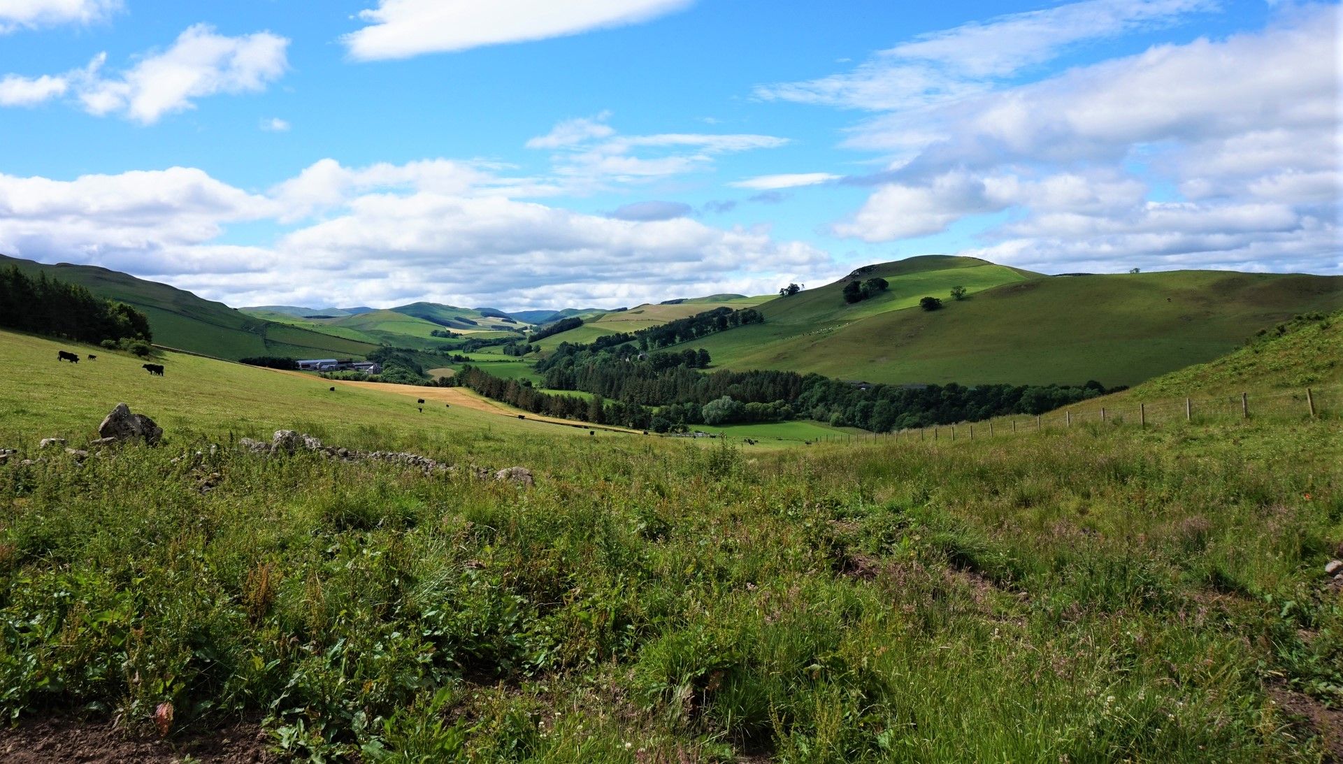
St Cuthbert's Way — Hike wild moors, historic hills and heavenly coast
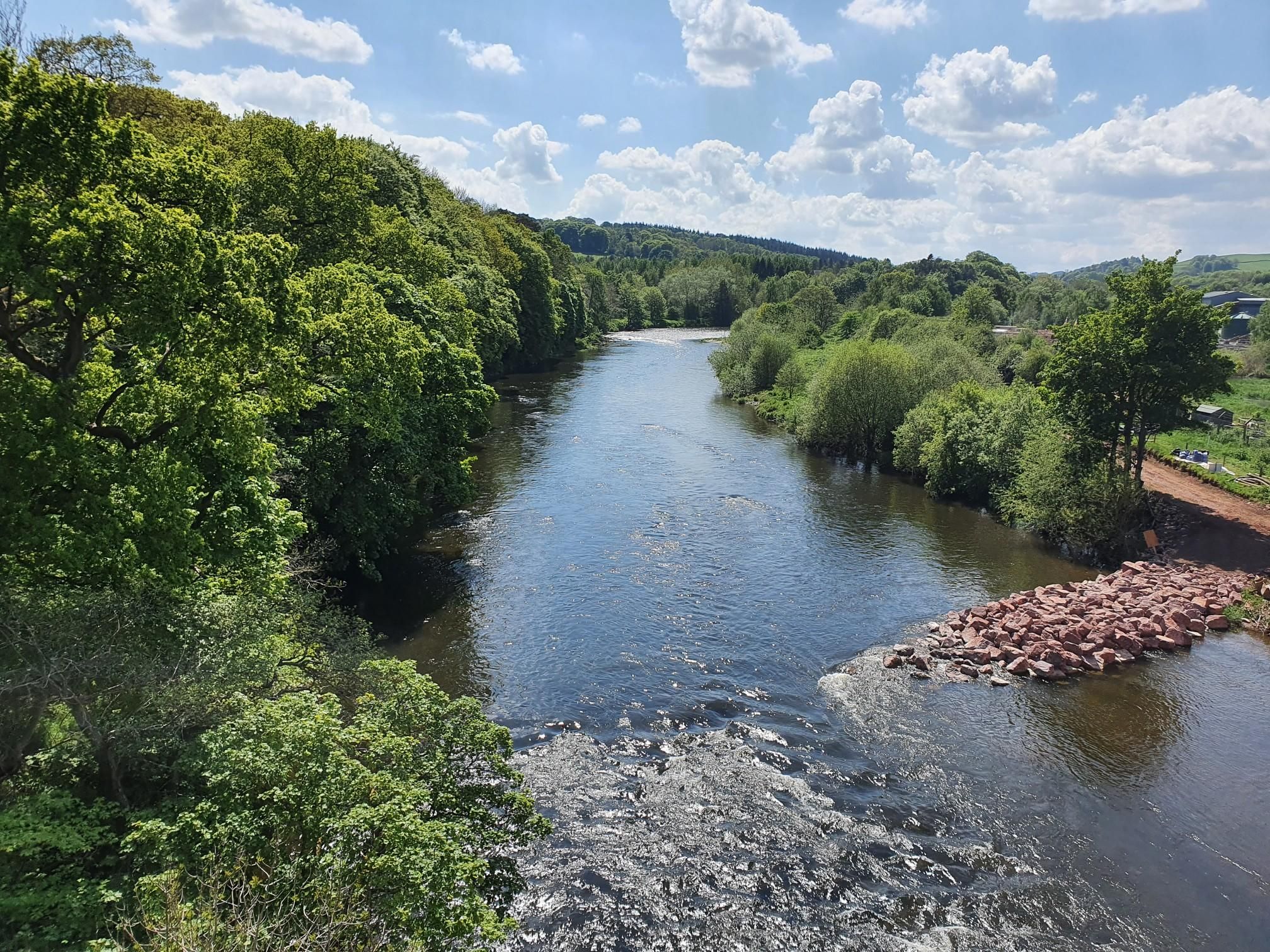
Celebrating Kirkpatrick MacMillan on the Kirkpatrick Coast to Coast

Walk Britain – 90 car-free adventures in England, Wales and Scotland
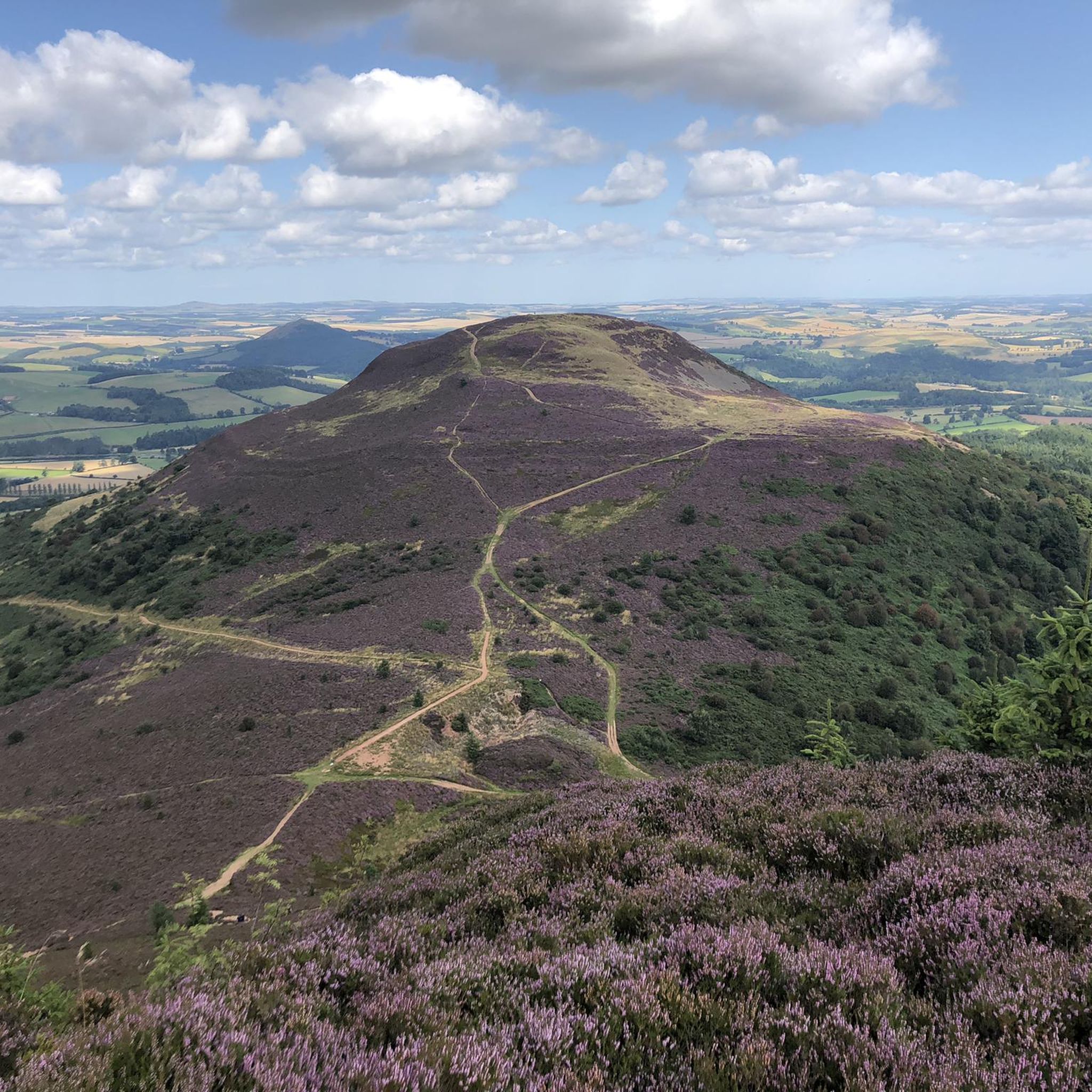
Hiking in Eildon And Leaderfoot
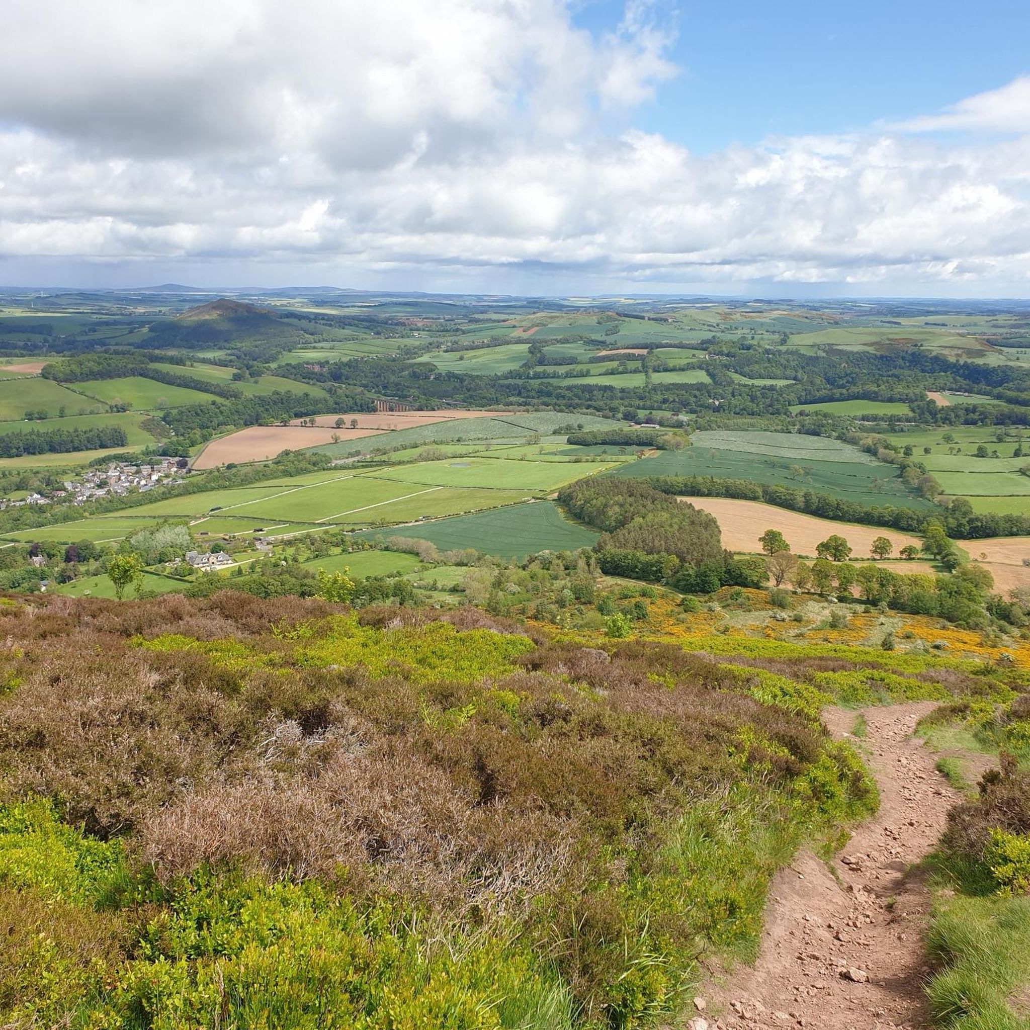
MTB Trails in Eildon And Leaderfoot
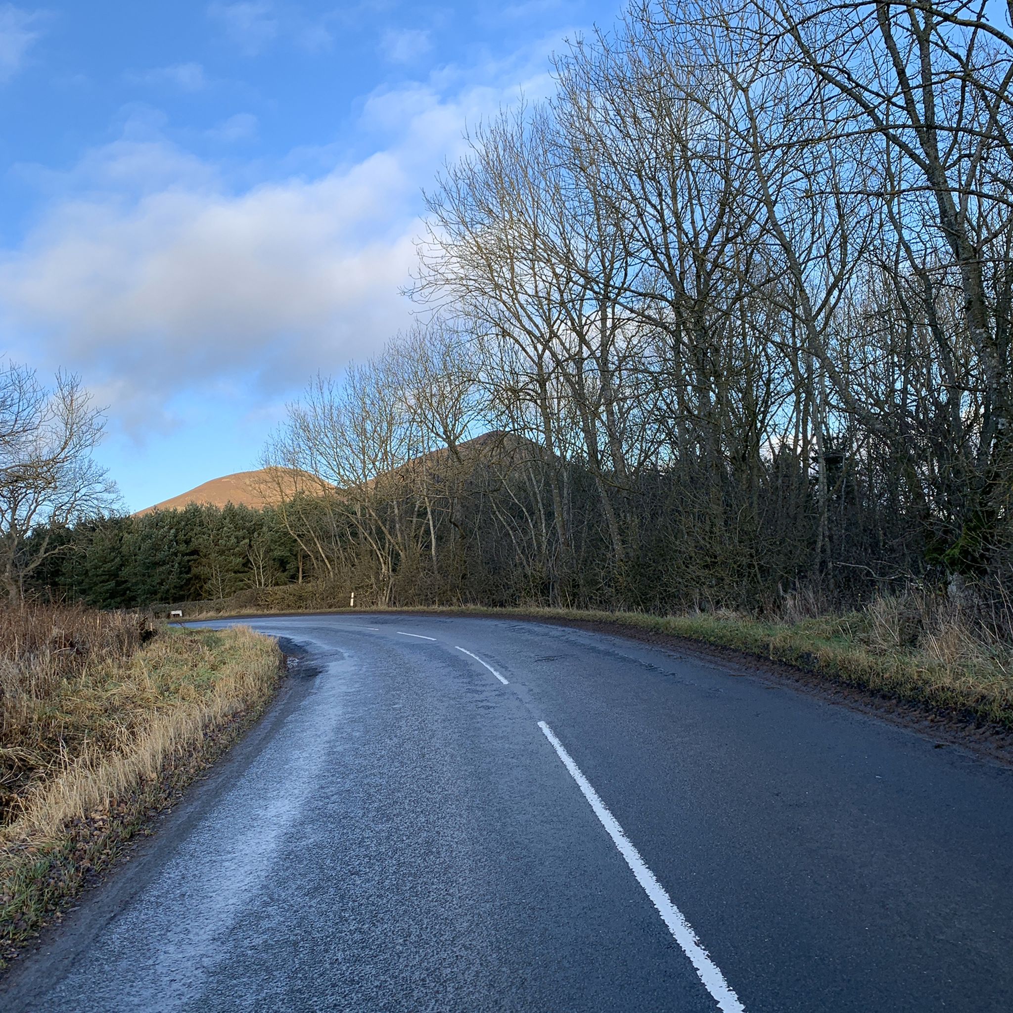
Road Cycling Routes in Eildon And Leaderfoot
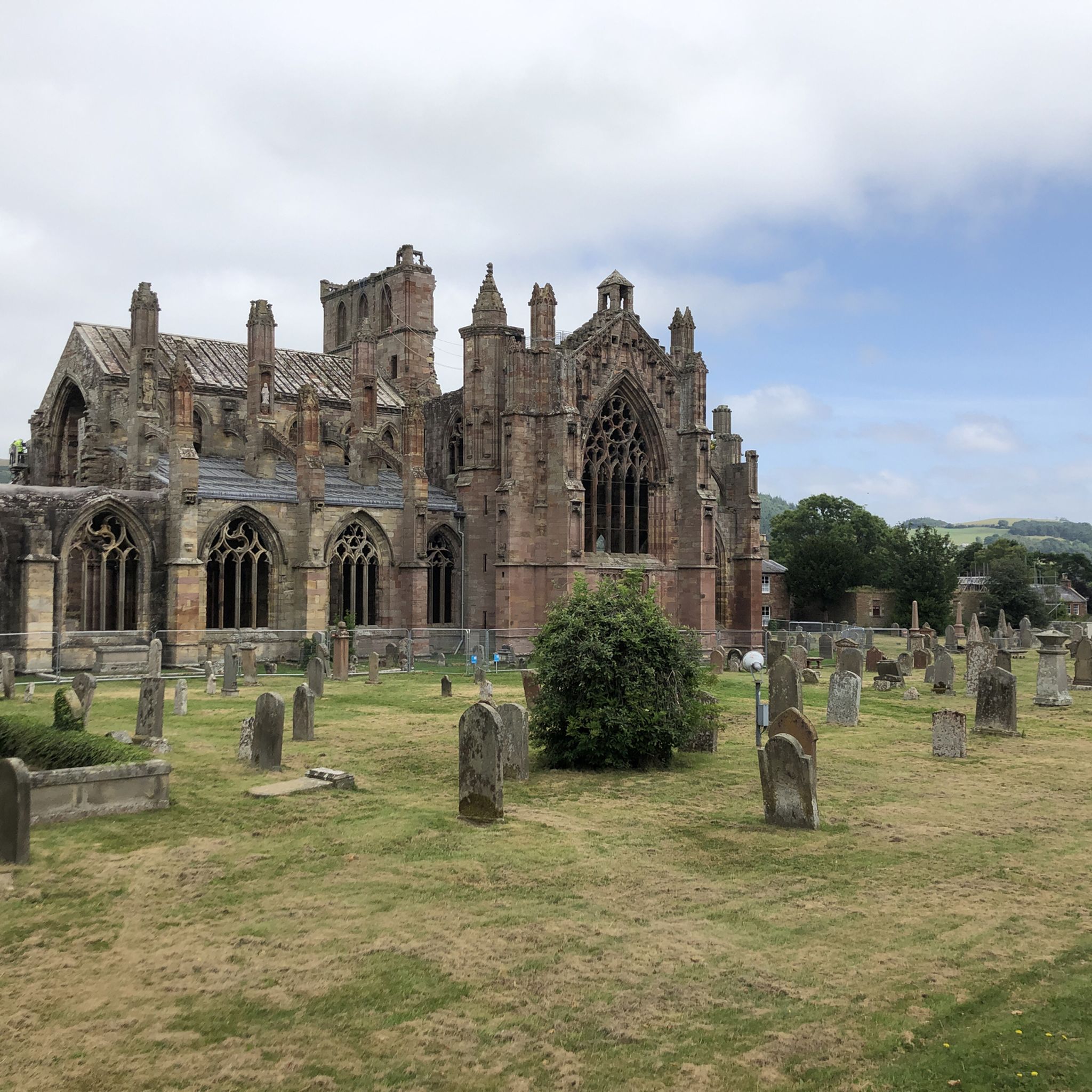
Cycling in Eildon And Leaderfoot
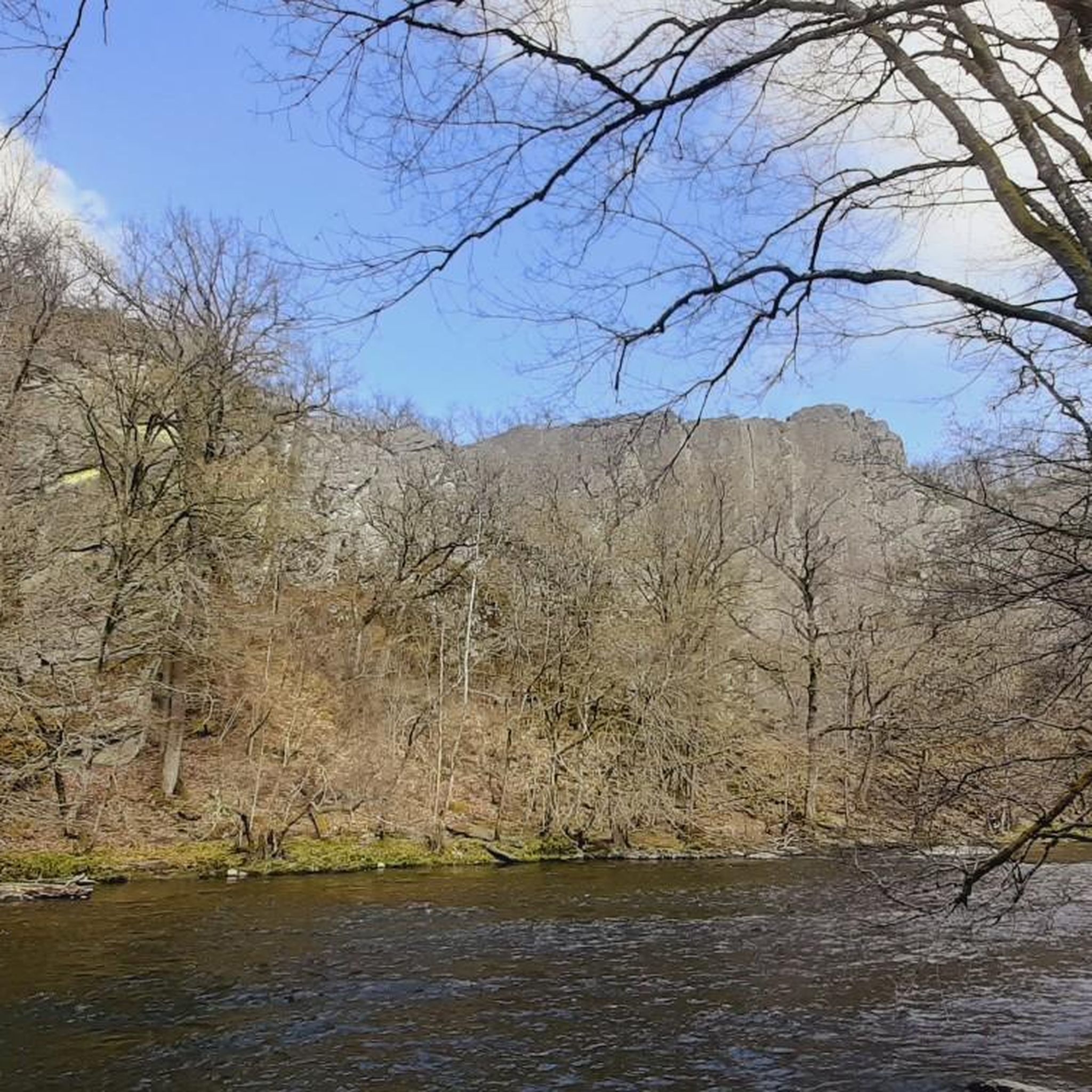
Gravel biking in Eildon And Leaderfoot
Other adventures in Eildon And Leaderfoot


Tips from the Community

The Market Square has served as a traditional gathering place for markets and remains a central point of the town. The square features local buildings, such as the Burt's Hotel, and provides a hub for the surrounding shops, restaurants.
0
0
The Market Cross in Melrose is a prominent historic landmark topped with a unicorn, the national animal of Scotland.
0
0

The River Tweed flows for 97 miles (156km) across the Scottish Borders. This section in Montrose is also part of the Southern Uplands Way and the Borders Abbeys Way, both long distance footpaths.
1
0

Eildon Hill North is an historic, photogenic and widely visible landmark in the Scottish Borders. At 1325 feet (404 m) this peak is the second highest of the three Eildon (pronounced ‘Eeldon’) Hills located just south of Melrose. The significance of Eildon Hill North was recognised by Bronze Age and Iron Age peoples and by the Romans. This peak was the site of the largest Iron Age hill fort in Scotland. Up to 2000 people are thought to have lived here at the same time. Today the pockmarks from hundreds of roundhouse platforms and nearly 1-mile of defences are still visible. When the Romans came in about 80 AD they built their mighty garrison fort called ‘Trimontium’ (named after the three Eildon peaks) immediately below Eildon Hill North and also placed a signal station on this summit. Trimontium was the largest Roman settlement north of Hadrian’s Wall. The short but steep climb up Eildon Hill North is well worth the effort! On a clear day you will be rewarded with stunning views. The popular St Cuthbert’s Way that runs from Melrose Abbey to Holy Island in Northumberland climbs over the col in the Eildon Hills and provides a pleasant way up Eildon Hill North.
2
0

Great view if the viaduct over the Tweed.
0
0

Thomas Rhymer was a Scottish laird in the 13th century with a reputation for prophesy and supernatural powers - he famously prophesised the death of King Alexander III. Rhymer’s Stone is large stone inscribed with the legend of Thomas the Rhymer. It was erected by the Melrose Literary Society in 1929 and marks the site of the Eildon Tree under which, legend says, Thomas The Rhymer met the Faerie Queen.
0
0

Nice gardens in the town, honesty box for purchase of fruit and veg. Apples are good
1
0
Frequently Asked Questions
How many running routes are available in Eildon And Leaderfoot?
There are over 70 running routes in Eildon And Leaderfoot, offering a wide range of options for different fitness levels and preferences. These include routes through the distinctive Eildon Hills and along the scenic River Tweed.
Are there any easy jogging routes in Eildon And Leaderfoot suitable for beginners?
Yes, Eildon And Leaderfoot offers several easier jogging routes. There are 8 routes classified as easy, often found along riverside paths or through less challenging terrain. These provide a gentle introduction to running in the area.
What kind of challenging running trails can I find in the Eildon And Leaderfoot area?
For experienced runners seeking a challenge, the Eildon Hills offer difficult routes with significant elevation gain. Trails like the Eildon Hills Trail (8.9 km with 410m elevation) and the Eildon Mid Hill Summit – Eildon Hill North loop from Melrose (7.5 km with 413m elevation) provide strenuous climbs and rewarding panoramic views.
Are there any running routes that feature the Leaderfoot Viaduct?
Yes, the impressive Leaderfoot Viaduct is a central feature of several routes. The Drygrange Old Bridge – Leaderfoot Viaduct loop from Newstead is a popular 9.1 km trail that takes you through the River Tweed valley and past this striking 19th-century railway viaduct.
What historical landmarks or natural attractions can I see while jogging in Eildon And Leaderfoot?
The region is rich in history and natural beauty. You can explore the ancient volcanic peaks of the Eildon Hills, which host historical remnants like a Roman signal station. The Eildon Mid Hill Summit offers panoramic views. The Leaderfoot Viaduct is a prominent landmark, and nearby Melrose Abbey can be incorporated into longer routes, such as the Melrose Market Square – Melrose Abbey loop from Melrose.
Are there running routes suitable for families in Eildon And Leaderfoot?
While the Eildon Hills offer challenging terrain, there are also more accessible paths along the River Tweed and Leader Water that are suitable for families. These routes often feature gentler gradients and picturesque scenery, providing a pleasant experience for all ages.
Can I bring my dog on the running trails in Eildon And Leaderfoot?
Many trails in Eildon And Leaderfoot are dog-friendly, especially those along the riverbanks and through open countryside. However, when running in areas with livestock or near nature reserves, it's always best to keep dogs on a lead and follow local signage to ensure the safety and comfort of everyone.
What is the best time of year to go running in Eildon And Leaderfoot?
The Eildon And Leaderfoot area is enjoyable for running throughout much of the year. Spring and autumn offer pleasant temperatures and beautiful scenery, with vibrant foliage or blooming wildflowers. Summer is also popular, though some trails on the Eildon Hills can be exposed. Always check local weather conditions before heading out.
What do other runners enjoy most about jogging in Eildon And Leaderfoot?
The area is highly rated by the komoot community, with an average score of 4.8 stars from over 7 reviews. Runners often praise the diverse terrain, from accessible riverside paths to challenging hill climbs, and the stunning panoramic views from the Eildon Hills. The integration of historical landmarks like the Leaderfoot Viaduct also adds to the unique experience.
Are there any circular running routes in Eildon And Leaderfoot?
Yes, many of the running routes in Eildon And Leaderfoot are circular, allowing you to start and finish in the same location. Examples include the Eildon Mid Hill Summit – Eildon Hill North loop from Melrose and the Drygrange Old Bridge – Leaderfoot Viaduct loop from Newstead, which are popular for their scenic loops.
Where can I find parking for running routes in Eildon And Leaderfoot?
Parking is generally available in and around the main towns and villages such as Melrose and Newstead, which serve as common starting points for many routes. Specific parking details can often be found on individual route descriptions or local visitor information.
Is public transport available to access running trails in Eildon And Leaderfoot?
Public transport options, primarily bus services, connect some of the key towns and villages in the Scottish Borders, including Melrose and areas near Leaderfoot. These can provide access points to various running trails, though it's advisable to check specific bus routes and schedules for direct access to your chosen starting point.
Most popular routes in Eildon And Leaderfoot
Most popular attractions in Eildon And Leaderfoot

Get inspired with the komoot mobile app


Explore more
Browse the best Running Trails & Routes in other regions.
