The 9 Most Amazing Peaks in Trotternish
Best mountain peaks in Trotternish are found along the Trotternish Ridge, a prominent geological feature on the Isle of Skye. This ridge, stretching for approximately 30 kilometers, is characterized by ancient landslips and dramatic rock formations. It offers extensive views across the Isle of Skye, the Sound of Raasay, and the Scottish mainland. The area is recognized for its unique landscape, including continuous cliffs on its eastern side and gentler western slopes.
Best mountain peaks in Trotternish
- The most popular…
Last updated: June 29, 2026
Fir Bhreugach
Highlight • Natural Monument
Tip by

Burnt Crag
Highlight • Viewpoint
Tip by

Sign up now to discover places like this
Get recommendations on the best single tracks, peaks, & plenty of other exciting outdoor places.
Sign up for free
Steep Ascent to Quiraing Summit
Highlight • Summit
Tip by

Ridge cairn on the Trotternish Peninsula
Highlight • Summit
Tip by
View of The Needle and The Prison
Highlight • Natural Monument
Tip by

Sign up for free to discover even more peaks in Trotternish.
Sign up for free
Already have an account?
Start today with a free account
Your next adventure awaits.
Login or Signup
Popular around Trotternish
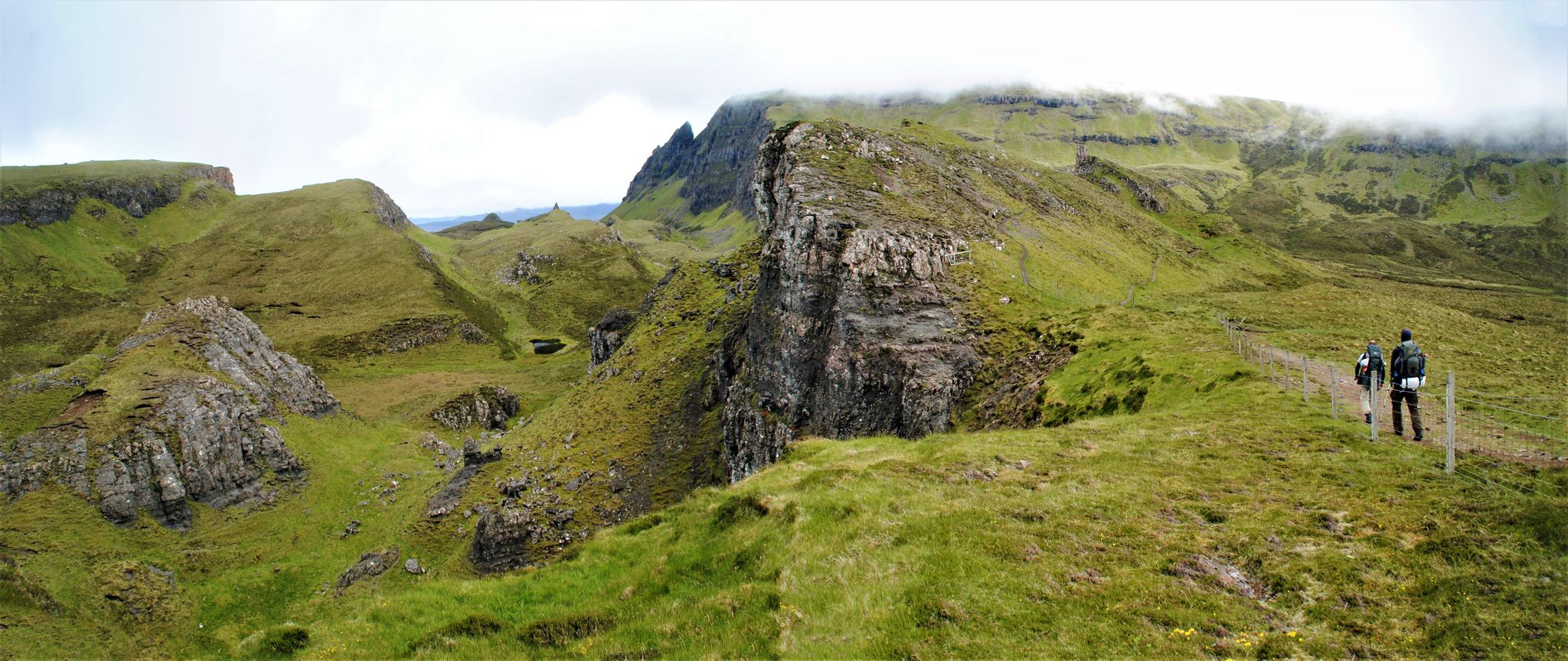
The Skye Trail – Old castles and dramatic cliffs
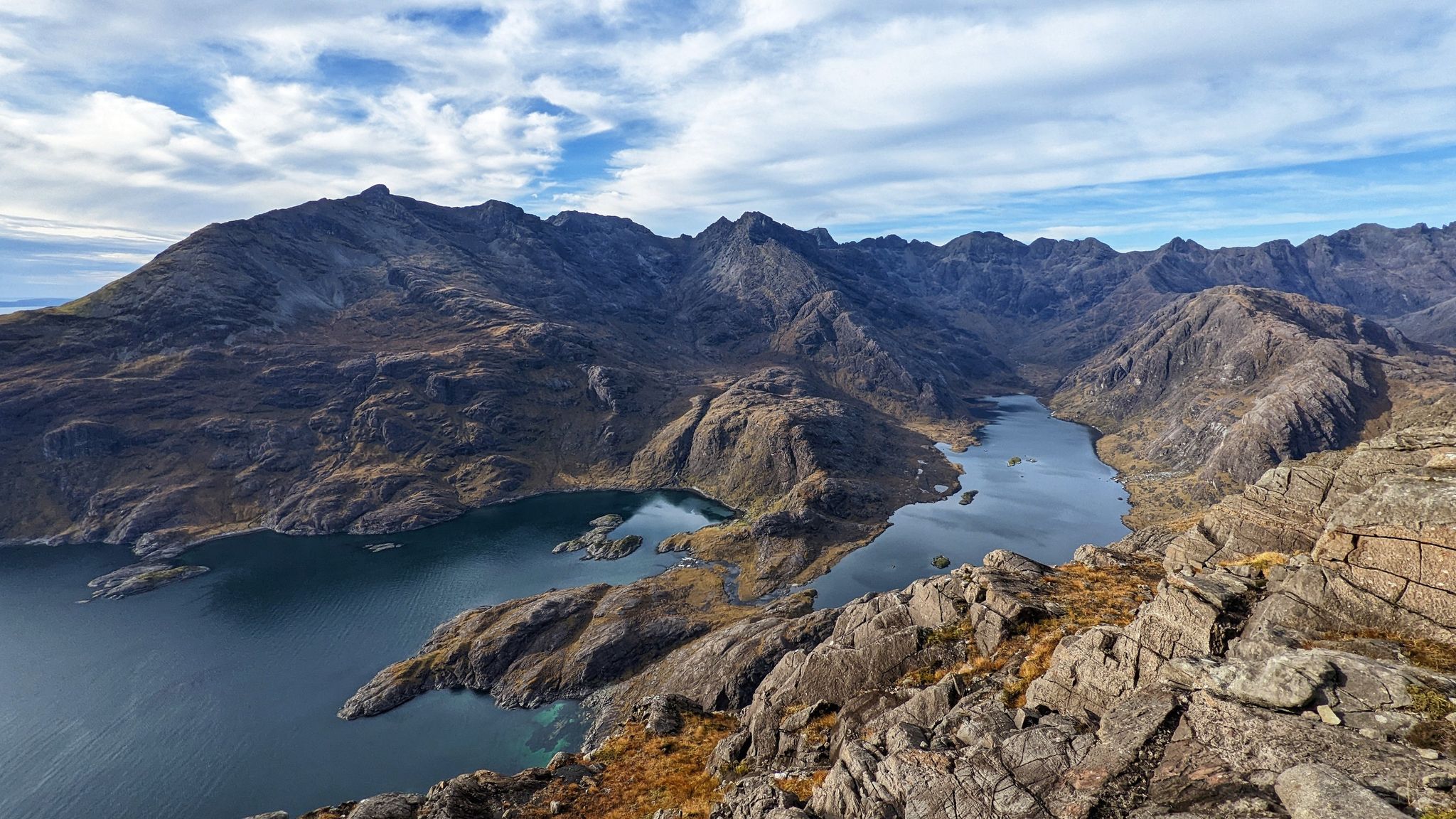
Beauty and the beastly black ridge – hiking on the Isle of Skye
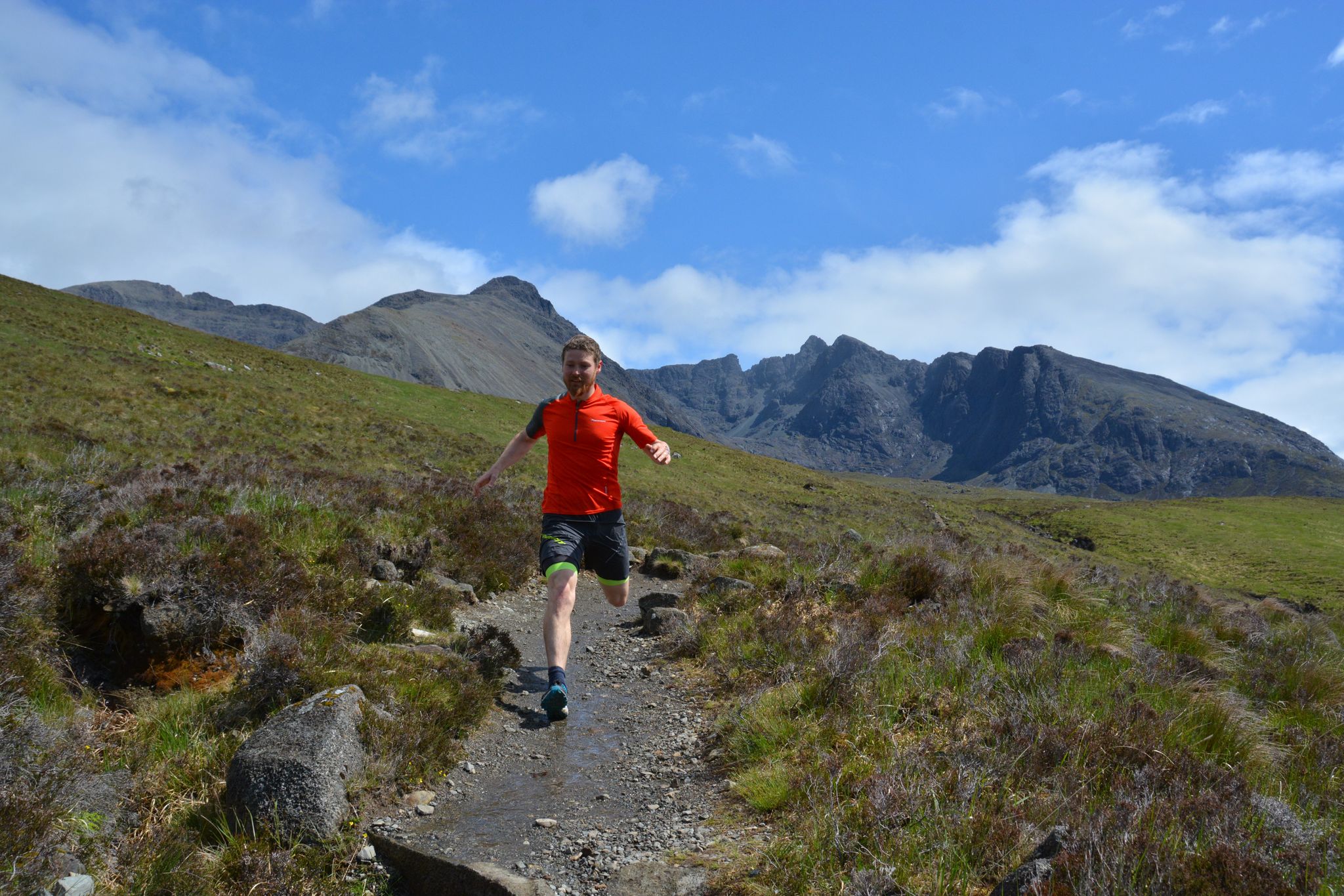
Where the mountains meet the sea — 9 trail runs on the Isle of Skye
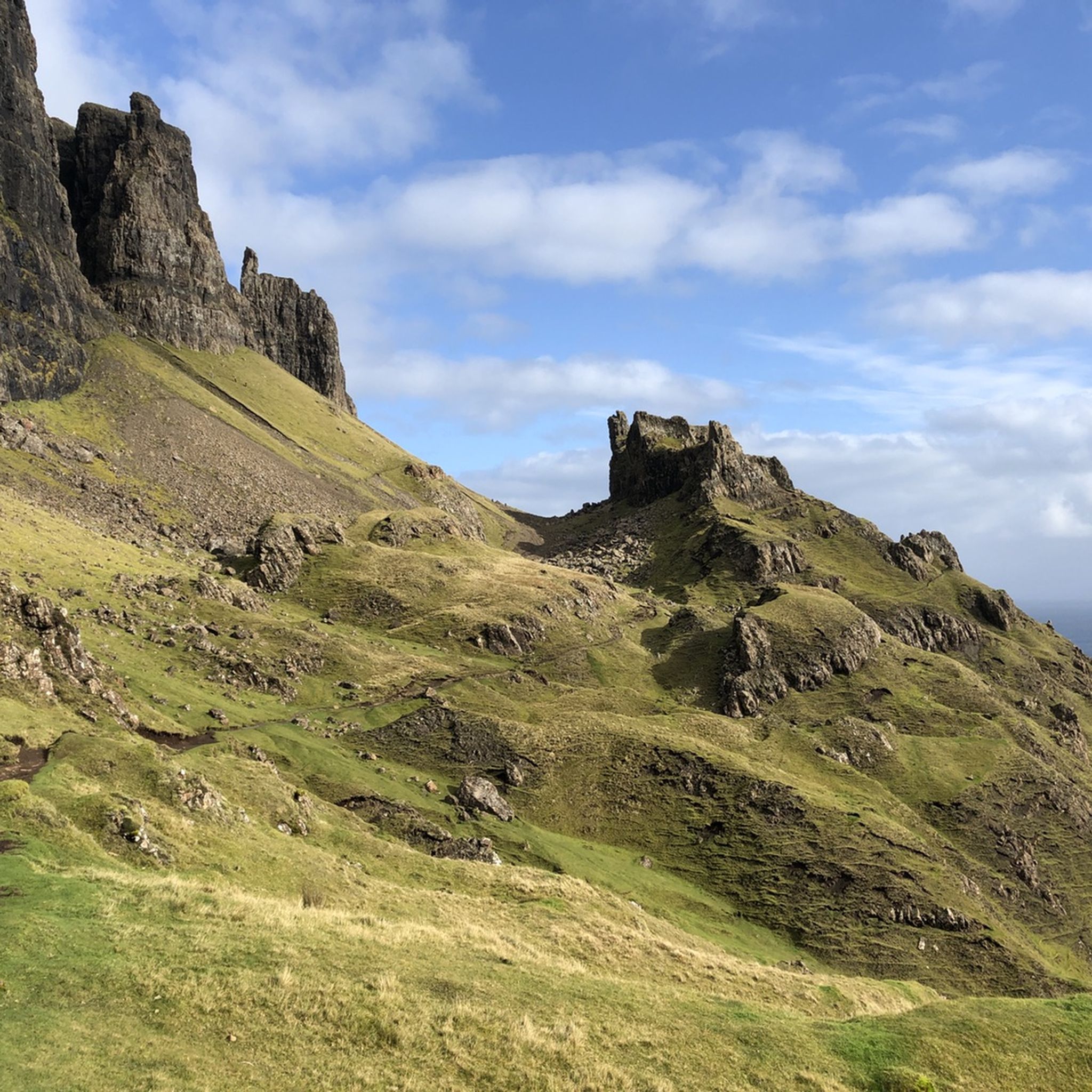
Hiking in Trotternish
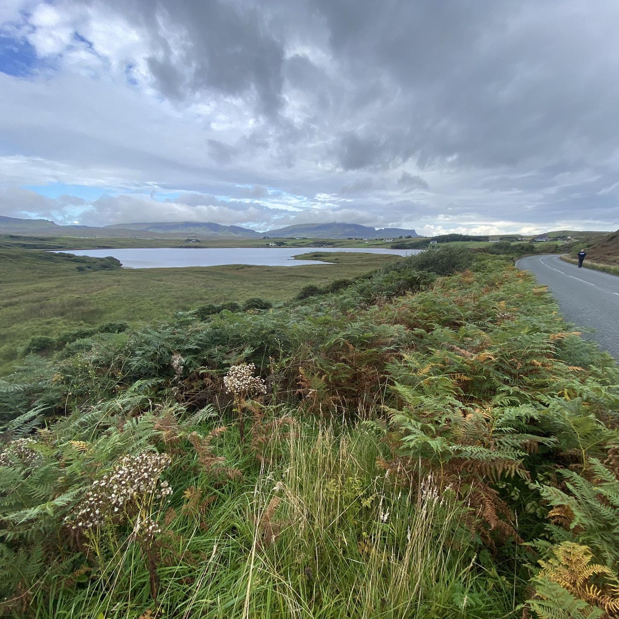
Running Trails in Trotternish
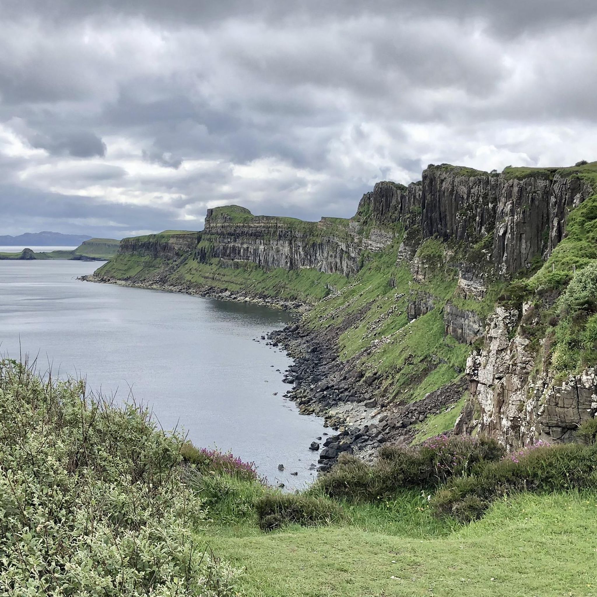
MTB Trails in Trotternish
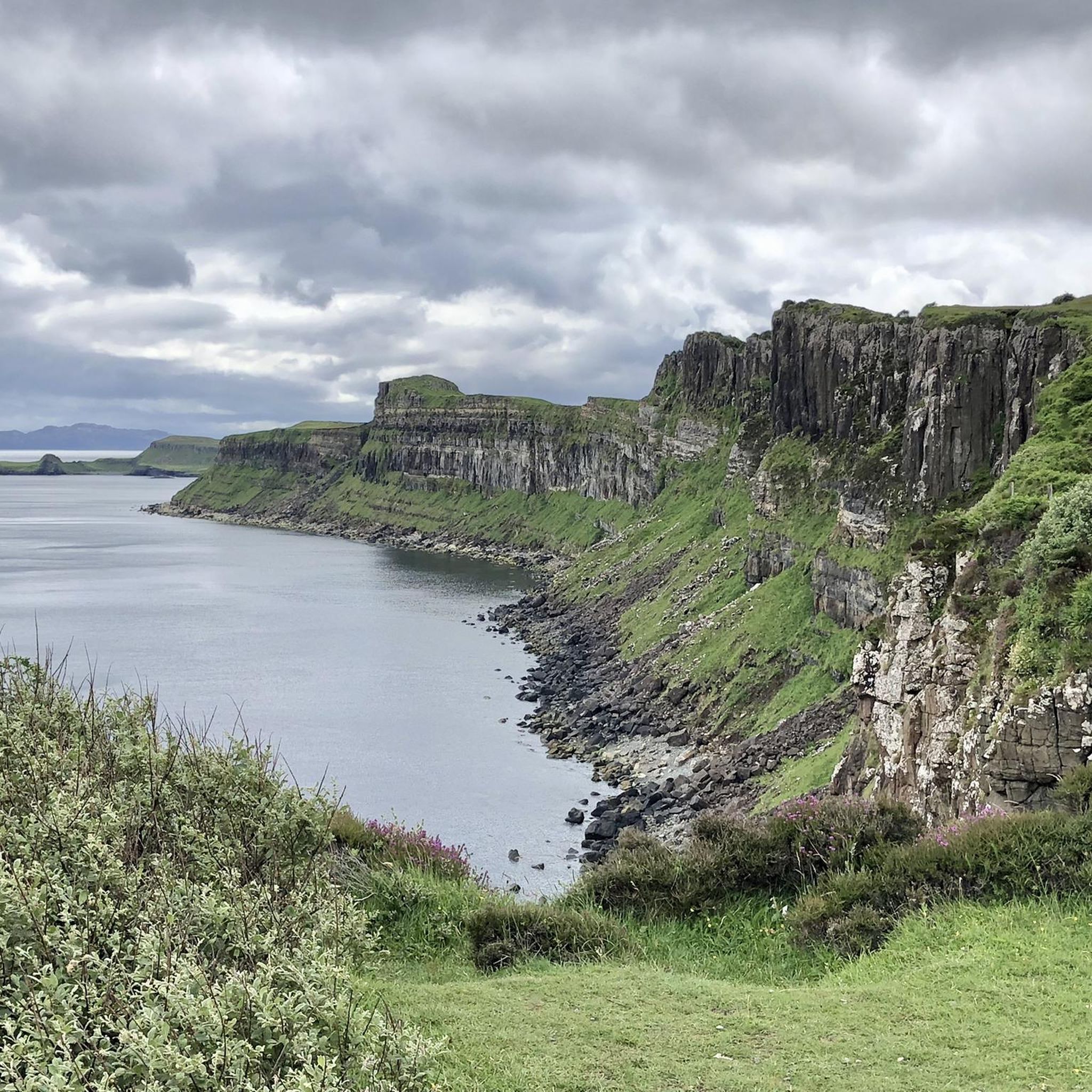
Road Cycling Routes in Trotternish
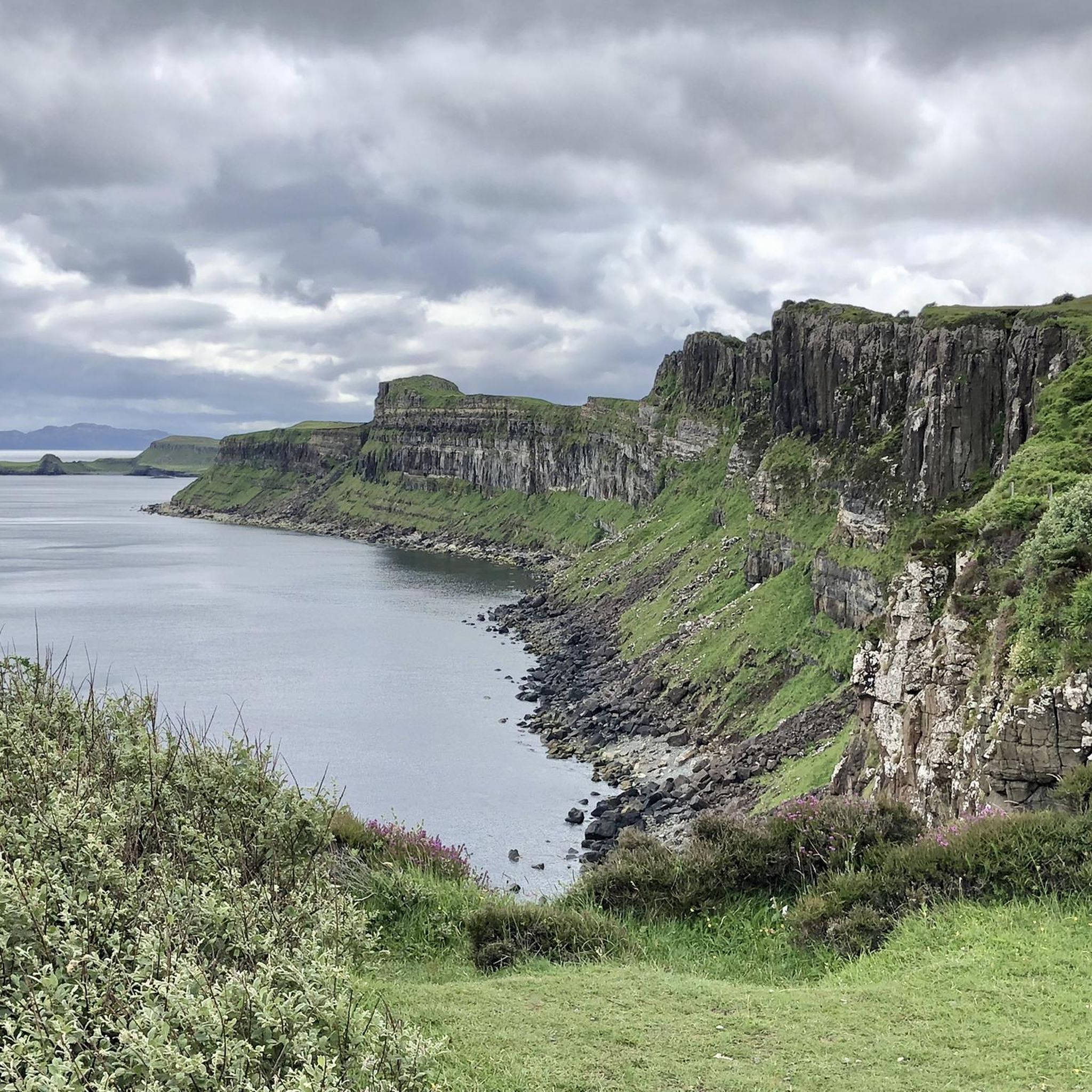
Cycling in Trotternish
Other adventures in Trotternish


Tips from the Community

Creag Loisgte is a lesser-known but distinctive ridge on the Trotternish Peninsula of the Isle of Skye. It is located near the Quiraing and is part of the dramatic landscape formed by landslides and volcanic processes. The name comes from Gaelic and roughly means 'burnt rock', referring to the dark basalt formations. Creag Loisgte offers wide views over the rugged coastline and is appreciated by hikers who wish to experience the island's quiet, pristine nature away from the well-trodden paths.
0
0
The Quiraing on the Isle of Skye is a spectacular landscape of rugged cliffs, steep slopes, and green plateaus on the Trotternish Peninsula. It was formed by massive landslides that are still active today, constantly changing the shape of the landscape. The area is known for distinctive formations such as The Needle, The Prison, and The Table. The Quiraing offers some of Scotland's most impressive views and is a popular destination for hikers and photographers. Its dramatic scenery gives it an almost mystical atmosphere.
0
0
The Quiraing on the Isle of Skye is a spectacular landscape of rugged rocks, steep slopes, and green plateaus on the Trotternish Peninsula. It was formed by massive landslides, which are still active today and constantly changing the shape of the landscape. The area is known for distinctive formations such as The Needle, The Prison, and The Table. The Quiraing offers some of Scotland's most impressive views and is a popular destination for hikers and photographers. Its dramatic scenery gives it an almost mystical atmosphere.
0
0
Fir Bhreugach is a striking rock formation in the Quiraing area on the Isle of Skye. The name comes from Gaelic and means approximately "the false man" or "the deceiver", referring to the unusual, almost human-like silhouette of the rocks. Like many formations on the Trotternish Peninsula, Fir Bhreugach was formed by landslides and erosion, which are constantly changing the landscape. Today, it is a less well-known but fascinating part of the Quiraing, contributing to the mysterious, almost mythical atmosphere of this unique landscape.
0
0
The Needle and The Prison are striking rock formations on the coast of the Isle of Skye, not far from the famous Quiraing area on the Trotternish Peninsula. The Needle is a narrow, sharply rising rock pillar that juts out of the landscape like a natural tower. The Prison, on the other hand, is a more massive rock formation with steep walls, reminiscent of a fortress or a prison. Both were formed by landslides and erosion and are among the island's most impressive landforms. They are popular destinations for hikers and photographers today.
0
0

The lower section of the circular trail offers a new perspective on the fascinating rock formations with every step. And you're right in the middle of it all. The upper section of the trail offers even more expansive views. Easily manageable with sturdy footwear. A highly recommended trail!
0
0
The lower section of the circular trail offers a new perspective on the fascinating rock formations with every step. And you're right in the middle of it all. The upper section of the trail offers even more expansive views. Easily manageable with sturdy footwear. A highly recommended trail!
0
0
The lower section of the circular trail offers a new perspective on the fascinating rock formations with every step. And you're right in the middle of it all. The upper section of the trail offers even more expansive views. Easily manageable with sturdy footwear. A highly recommended loop! I recommend using the stone steps near the parking lot for the descent and starting the loop with the lower section.
0
0
Frequently Asked Questions
What are the most popular mountain peaks to explore in Trotternish?
Visitors to Trotternish frequently explore peaks along the dramatic Trotternish Ridge. Highly rated spots include Quiraing Summit, which offers expansive views and new perspectives on the rock formations, and Fir Bhreugach, a 328-meter-high natural monument providing amazing views south onto the landslip. Burnt Crag is another notable viewpoint, especially on a clear day.
What is the difficulty and duration of hiking the Trotternish Ridge?
The Trotternish Ridge offers a range of hiking experiences. While some sections, like the full 30-kilometer ridge walk, can be challenging and take 10-14 hours requiring good navigation skills, other areas offer more accessible routes. For instance, the circular trail around the Quiraing, which includes the Quiraing Summit, is manageable with sturdy footwear. Some paths, like the Steep Ascent to Quiraing Summit, can be difficult to navigate and require care, especially near edges.
Are there family-friendly mountain walks in Trotternish?
While the full Trotternish Ridge can be demanding, there are sections and shorter walks that families can enjoy. The lower sections of trails around the Quiraing, for example, offer fascinating rock formations and expansive views without requiring an arduous climb. Always assess the specific trail conditions and your family's hiking experience before setting out.
What unique geological features can I expect to see on the mountain peaks in Trotternish?
The mountain peaks in Trotternish are renowned for their dramatic geological formations, primarily a result of ancient landslips. The Quiraing area, for instance, features extraordinary rock pinnacles like The Needle, a ridge resembling a castle keep called The Prison, and the green-clad plateau known as The Table. The entire Trotternish Ridge showcases continuous cliffs on its eastern side and gentler western slopes, offering an otherworldly atmosphere shaped by thousands of years of erosion.
What is the best time of year to hike the mountain peaks in Trotternish?
The best time to hike the mountain peaks in Trotternish is generally during the warmer, drier months, typically from late spring to early autumn. This period offers more stable weather conditions and longer daylight hours. However, weather in Skye can be unpredictable, so always be prepared for sudden changes, even in summer. During winter, trails can be very wet and slippery due to melting snow and ice, making waterproof shoes and poles essential.
What should I wear for hiking the mountain peaks in Trotternish?
When hiking in Trotternish, it's crucial to wear sturdy, waterproof footwear, as trails can be muddy and wet, especially after rain or during winter. Layered clothing is recommended to adapt to changing weather conditions, including waterproof and windproof outer layers. For winter hikes, poles can be very helpful, and carrying extra socks is a good idea.
What outdoor activities can I do near the mountain peaks in Trotternish?
Beyond hiking, Trotternish offers various outdoor activities. You can explore numerous cycling routes, including challenging road cycling loops like the 'Struan Road – Portree Harbour loop from Staffin' or more moderate touring bicycle routes such as the 'View of Fairy Glen – Stone Circle at Fairy Glen loop from Uig'. Mountain biking enthusiasts can tackle difficult trails like the 'Quiraing Traverse via Quiraing Road'. For more details, check out the Road Cycling Routes in Trotternish, Cycling in Trotternish, and MTB Trails in Trotternish guides.
Are there less crowded alternatives to popular spots like the Old Man of Storr in Trotternish?
While the Old Man of Storr is a major attraction, exploring other parts of the Trotternish Ridge can offer equally stunning views with fewer crowds. Peaks like Fir Bhreugach or the areas around Burnt Crag provide expansive vistas and a sense of solitude. The full Trotternish Ridge walk, while challenging, is also a way to experience the landscape away from the busiest tourist spots.
What do visitors enjoy most about the mountain peaks in Trotternish?
Visitors consistently praise the breathtaking panoramic views and the unique, 'other-worldly' geological formations found along the Trotternish Ridge. The opportunity to immerse oneself in the dramatic landscape, whether through challenging hikes or more accessible viewpoints, is a major draw. The sense of being right in the middle of fascinating rock formations, as described by those visiting the Quiraing, is a highlight for many.
How accessible are the mountain peaks in Trotternish by public transport?
Public transport options to the mountain peaks in Trotternish can be limited. While some bus services operate on the Isle of Skye, reaching specific trailheads for peaks like the Quiraing or other parts of the Trotternish Ridge often requires a car. It's advisable to check local bus schedules and routes in advance if relying on public transport, as services may not directly access all hiking starting points.
Can I find circular walks around the mountain peaks in Trotternish?
Yes, circular walks are available, particularly around the Quiraing. The Quiraing Loop is a popular hiking route that allows visitors to fully experience the unique landscape. The lower section of this circular trail offers new perspectives on the rock formations with every step, while the upper section provides even more expansive views. These loops are highly recommended for those looking to explore the area comprehensively.
Most popular attractions in Trotternish

Get inspired with the komoot mobile app


Explore more
See even more amazing summits in Trotternish with these guides:
