The best road cycling routes around Olching
4.6
(189)
1,825
riders
74
rides
Road cycling around Olching, a town northwest of Munich, is characterized by its gentle topography and diverse natural features. The region features the River Amper and its surrounding Amperauen (floodplains), offering serene routes through undisturbed nature and floodplain forests. Cyclists will also find routes incorporating the scenic Olchinger See and Kleiner See. The landscape is largely flat to gently rolling, with an elevation around 503 meters (1,650 ft), making it suitable for various skill levels.
Best road cycling routes around Olching
- The most popular road cycling route is Tree-Lined Avenue – Scenic Quiet Country Road loop from Olching, a 33.6 miles (54.1 km) trail that takes 2 hours 12 minutes to complete. This route offers a journey through quiet country roads.
- Another top favourite among local road cyclists is Bridge Sprint (Feldgeding) – Quiet country road in Upper Bavaria loop from Olching, an easy 19.6 miles (31.6 km) path. This route explores the quiet country roads of Upper Bavaria.
- Local road cyclists also love the Scenic Road Cycling Route Near Schwabhausen – Herrnzell Forest Road loop from Olching, a 35.9 miles (57.9 km) trail leading through forest roads and agricultural land, often completed in about 2 hours 29 minutes.
- Road cycling around Olching is defined by Amper meadows, agricultural land, and gentle topography, with many routes featuring paved surfaces. The network offers options for different ability levels, from easy loops to more moderate distances.
- The routes in Olching are highly rated by the komoot community with an average score of 4.7 stars from more than 170 reviews. More than 1800 road cyclists have used komoot to explore Olching's varied terrain.
Last updated: July 4, 2026
4.8
(64)
618
riders
54.1km
02:12
180m
180m
Moderate road ride. Good fitness required. Some segments of this route may be unpaved and difficult to ride.
4.7
(11)
99
riders
Easy road ride. Great for any fitness level. Mostly well-paved surfaces and easy to ride.

Sign up for free
4.4
(7)
65
riders
Moderate road ride. Good fitness required. Some segments of this route may be unpaved and difficult to ride.
3.8
(5)
52
riders
Moderate road ride. Great for any fitness level. Some segments of this route may be unpaved and difficult to ride.
4.6
(5)
52
riders
Easy road ride. Great for any fitness level. Mostly well-paved surfaces and easy to ride.
Get access to more routes and recommendations from other explorers.
Sign up for free
Already have an account?
Our route recommendations are based on thousands of hikes, rides, and runs completed by other people on komoot.
Start today with a free account
Your next adventure awaits.
Login or Signup
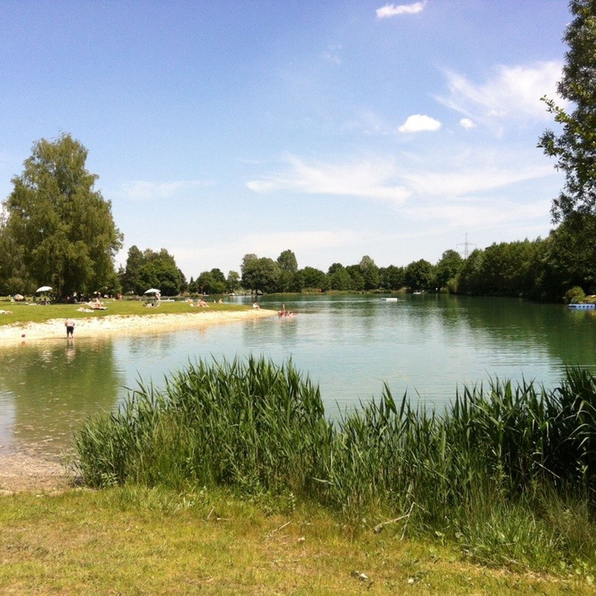
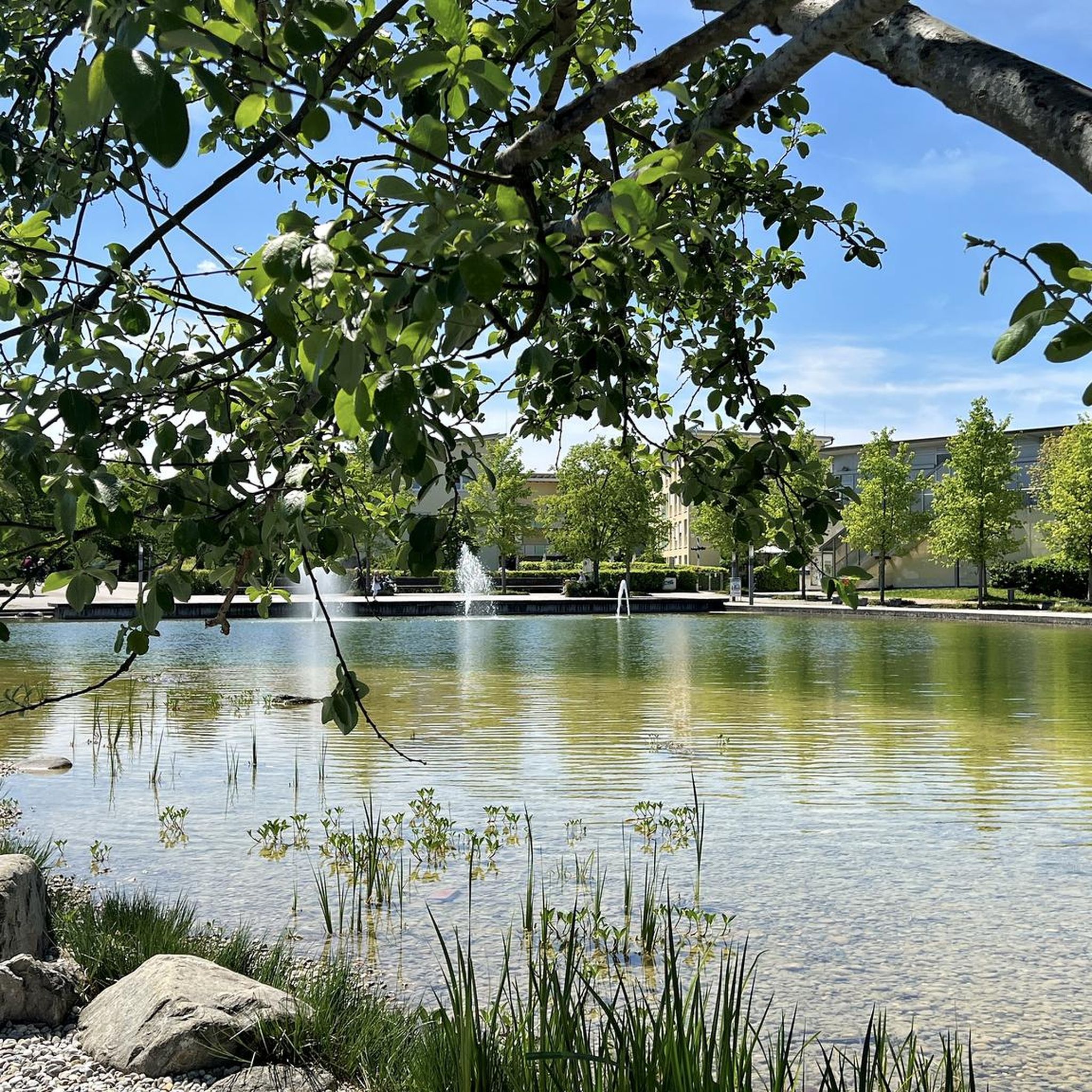
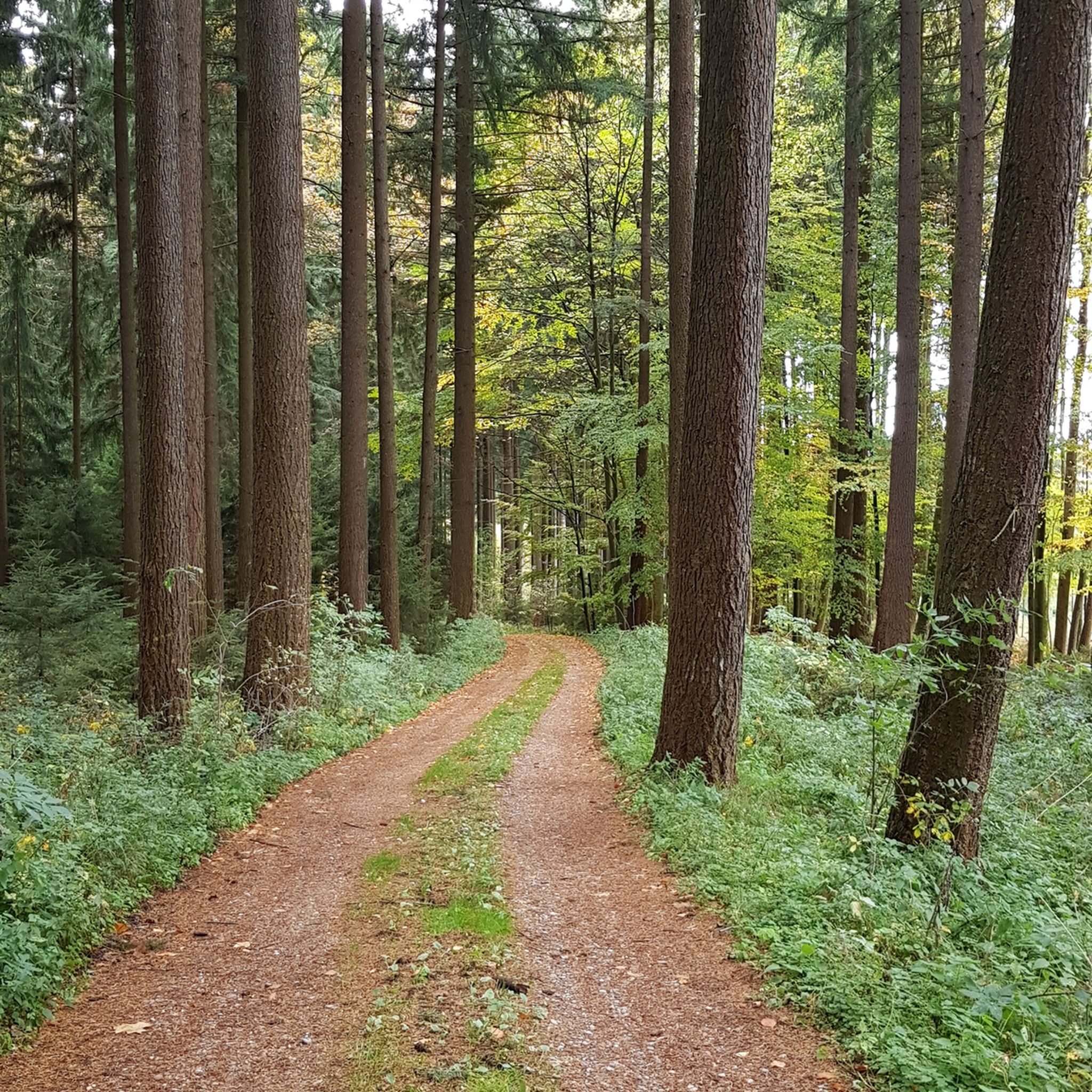
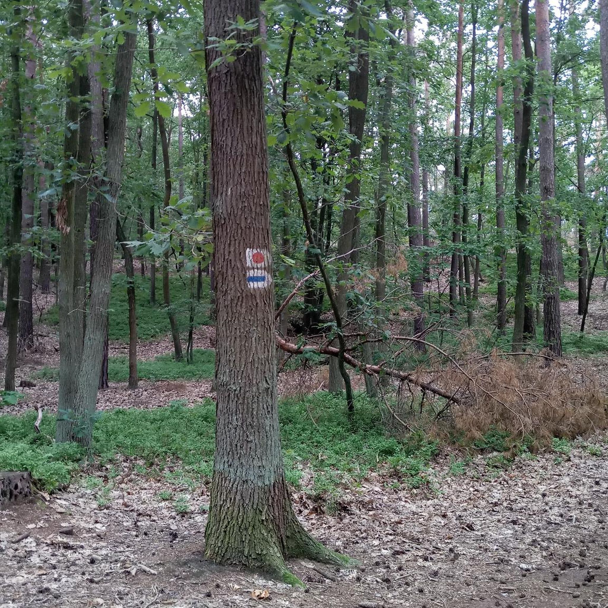


Tips from the Community


The Gasthof Pfeil in Bergkirchen tempts with delicious cakes or a great meal in the beautiful beer garden.
0
0

A small, narrow village road connecting the towns of Baindlkirch and Ebersried. It's a pleasant, yet quiet road. The asphalt is top-notch!
1
0

things are going well here
0
0

Beautiful quiet forest route, but a few potholes sometimes car traffic
1
0

Great roads, not much traffic outside of rush hour
0
0

Unterweilbach Castle and Church
1
0

If the weather is good, you can see as far as the Alps
1
0
Frequently Asked Questions
What kind of terrain can I expect for road cycling around Olching?
The region around Olching is characterized by a gentle topography, with an elevation of about 503 meters (1,650 ft). You'll find mostly flat to gently rolling terrain, making it suitable for various skill levels. Routes often lead through scenic Amper meadows, agricultural land, and along the River Amper, with many featuring paved surfaces ideal for road bikes.
Are there many road cycling routes available in Olching?
Yes, Olching offers a good selection for road cyclists. There are over 75 road cycling routes in the area, catering to different preferences and fitness levels. This includes a mix of easy, moderate, and a few more challenging options.
What are some good options for easy road cycling routes in Olching?
For an easier ride, consider routes like the Bridge Sprint (Feldgeding) – Quiet country road in Upper Bavaria loop from Olching, which is about 31.6 km. Another accessible option is the Curvy Descent Through Palsweis – Quiet Country Road loop from Olching, spanning 46.4 km, both offering pleasant rides on quiet country roads.
Are there longer road cycling routes available for more advanced cyclists?
While the region is generally gently rolling, you can find longer routes that offer more distance. For example, the Scenic Road Cycling Route Near Schwabhausen – Herrnzell Forest Road loop from Olching covers almost 58 km through forest roads and agricultural land. The Tree-Lined Avenue – Scenic Quiet Country Road loop from Olching is another moderate option at 54.1 km.
What natural features can I expect to see along the road cycling routes?
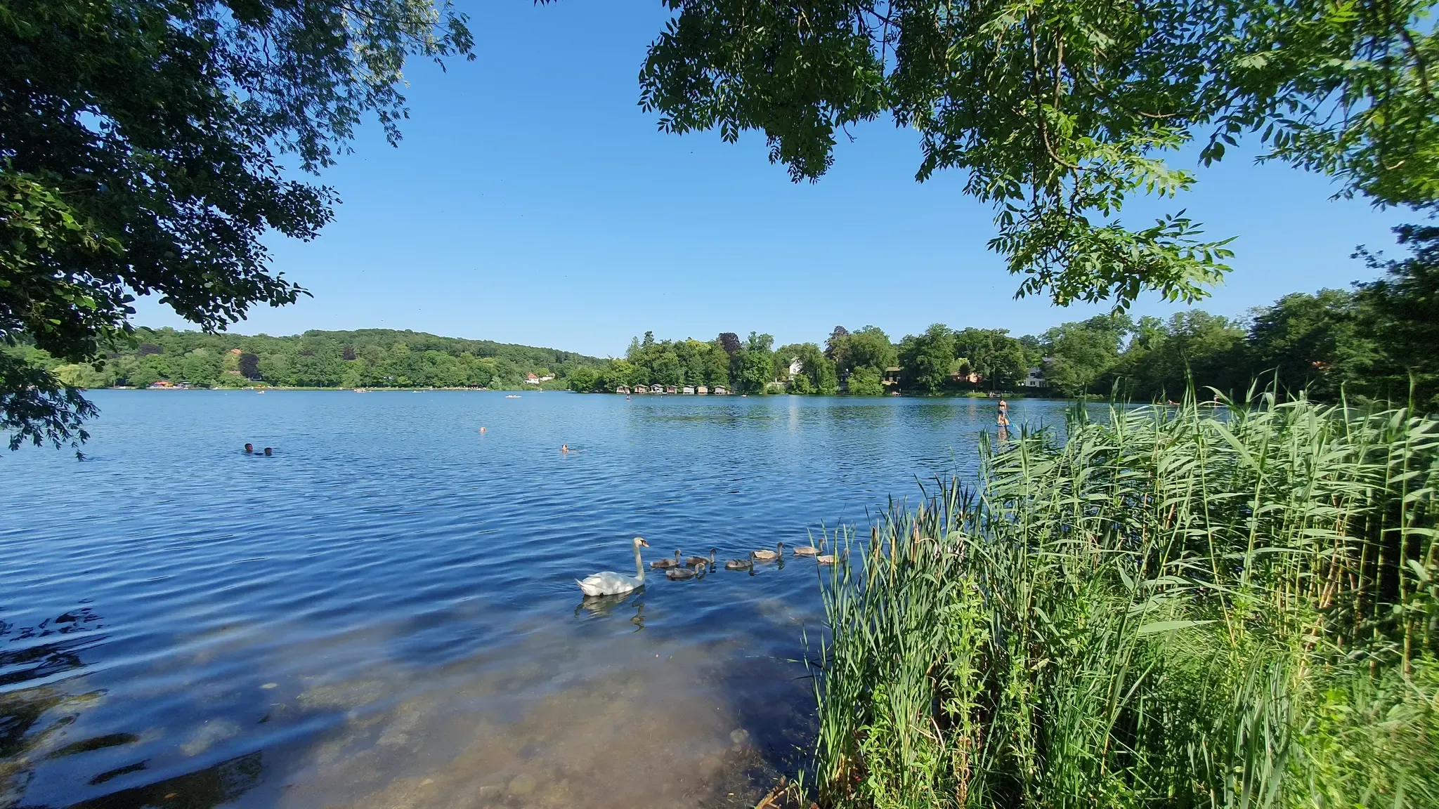
Many routes in Olching follow the River Amper and wind through the picturesque Amperauen (floodplains), offering views of undisturbed nature and floodplain forests. You can also incorporate the scenic Olchinger See (Lake Olching) and Kleiner See (Small Lake) into your rides, which are located to the east of Olching.
What do other road cyclists think about the routes in Olching?
The road cycling routes around Olching are highly regarded by the komoot community, with an average rating of 4.7 stars from over 170 reviews. Cyclists often praise the quiet country roads, the scenic Amper meadows, and the well-maintained paved surfaces that make for enjoyable rides.
Can I find circular road cycling routes starting from Olching?
Yes, many of the road cycling routes around Olching are designed as loops, allowing you to start and end in the same location. Examples include the Priel–Kreuzholzhäusl Cycle Path – Bibereck Bend loop from Olching, which is a moderate 34.3 km ride.
Are there any historical or cultural attractions I can visit while road cycling near Olching?
Yes, the region offers some interesting sights. You could include a visit to Blutenburg Castle, a historic moated castle. While not directly on every route, Olching's proximity to Munich also means major attractions like Nymphenburg Palace are within reach for a longer day trip.
What is the best season for road cycling in Olching?
The gentle topography and varied landscapes make Olching enjoyable for road cycling through much of the year. Spring and autumn offer pleasant temperatures and beautiful scenery, while summer is also popular. Always check local weather conditions before heading out.
Are there options for road cycling routes that connect to other towns or regions?
Olching is well-connected. It's part of the extensive Ammer-Amper Cycle Path, a long-distance route that follows the Ammer and Amper rivers. You can also find routes that extend towards nearby towns like Dachau and Fürstenfeldbruck, or even towards Munich, offering opportunities for longer tours and exploration of the broader Bavarian landscape.
Are there any lakes that can be incorporated into road cycling routes?
Absolutely. The Lake Waldschwaig and Lußsee are nearby and can be part of your cycling adventure, adding picturesque water features to your ride. The Olchinger See is also a prominent feature often included in local loops.
Most popular routes around Olching
Most popular attractions around Olching

Get inspired with the komoot mobile app


Explore more
Browse the best Road cycling routes in other regions.
