The best mountain hikes around Parco naturale dell'Adamello-Brenta
4.9
(80)
569
hikers
35
hikes
Mountaineering routes around Parco naturale dell'Adamello-Brenta traverse a diverse landscape, characterized by two distinct mountain ranges. To the east, the Brenta Dolomites feature dramatic vertical walls, sharp spires, and towering peaks composed of calcareous-sedimentary rocks. To the west, the Adamello-Presanella Massif presents crystalline intrusive magmatic rocks, including granite, and expansive glaciers. This protected area encompasses 62,051 hectares, offering varied terrain for alpine exploration.
Best mountaineering routes around Parco naturale dell'Adamello-Brenta
- The most popular mountaineering route is Alimonta Hut – Bocca di Brenta loop from Cima Brenta, a 6.0 miles (9.6 km) trail that takes 7 hours 24 minutes to complete. This difficult route offers a challenging ascent through high alpine terrain.
- Another top favourite among local mountaineers is Rifugio Casinei – Rifugio Tuckett loop from Vallesinella, a difficult 9.9 miles (16.0 km) path. This route navigates through rugged mountain landscapes, connecting two prominent mountain huts.
- Local mountaineers also love the Exposed Mountain Trail – Croz dell'Altissimo loop from Molveno, a 5.8 miles (9.4 km) trail leading through exposed mountain sections, often completed in about 5 hours 34 minutes.
- Mountaineering around Parco naturale dell'Adamello-Brenta is defined by dramatic Dolomite spires, glaciated massifs, and high alpine passes. The extensive network of routes offers options for various ability levels, from moderate ascents to challenging alpine climbs.
- The routes in Parco naturale dell'Adamello-Brenta are highly rated by the komoot community with an average score of 4.9 stars from over 80 reviews. More than 600 mountaineers have used komoot to explore Parco naturale dell'Adamello-Brenta's varied terrain.
Last updated: May 19, 2026
5.0
(10)
91
hikers
9.60km
07:25
860m
860m
Hard mountaineering route. Very good fitness required. Sure-footedness, sturdy shoes and alpine experience required.
5.0
(8)
81
hikers
16.0km
07:23
1,080m
1,080m
Hard mountaineering route. Very good fitness required. Sure-footedness, sturdy shoes and alpine experience required.

Sign up for free
4.9
(11)
52
hikers
8.06km
05:26
680m
680m
Hard mountaineering route. Very good fitness required. Sure-footedness, sturdy shoes and alpine experience required.
5.0
(3)
36
hikers
13.3km
07:13
1,110m
1,120m
Hard mountaineering route. Very good fitness required. Sure-footedness, sturdy shoes and alpine experience required.
5.0
(5)
33
hikers
7.43km
03:12
540m
540m
Moderate mountaineering route. Good fitness required. Mostly accessible paths. Sure-footedness required.
Get access to more routes and recommendations from other explorers.
Sign up for free
Already have an account?
Our route recommendations are based on thousands of hikes, rides, and runs completed by other people on komoot.
Start today with a free account
Your next adventure awaits.
Login or Signup
Popular around Parco naturale dell'Adamello-Brenta

The Path of Peace – journey into Trentino's history
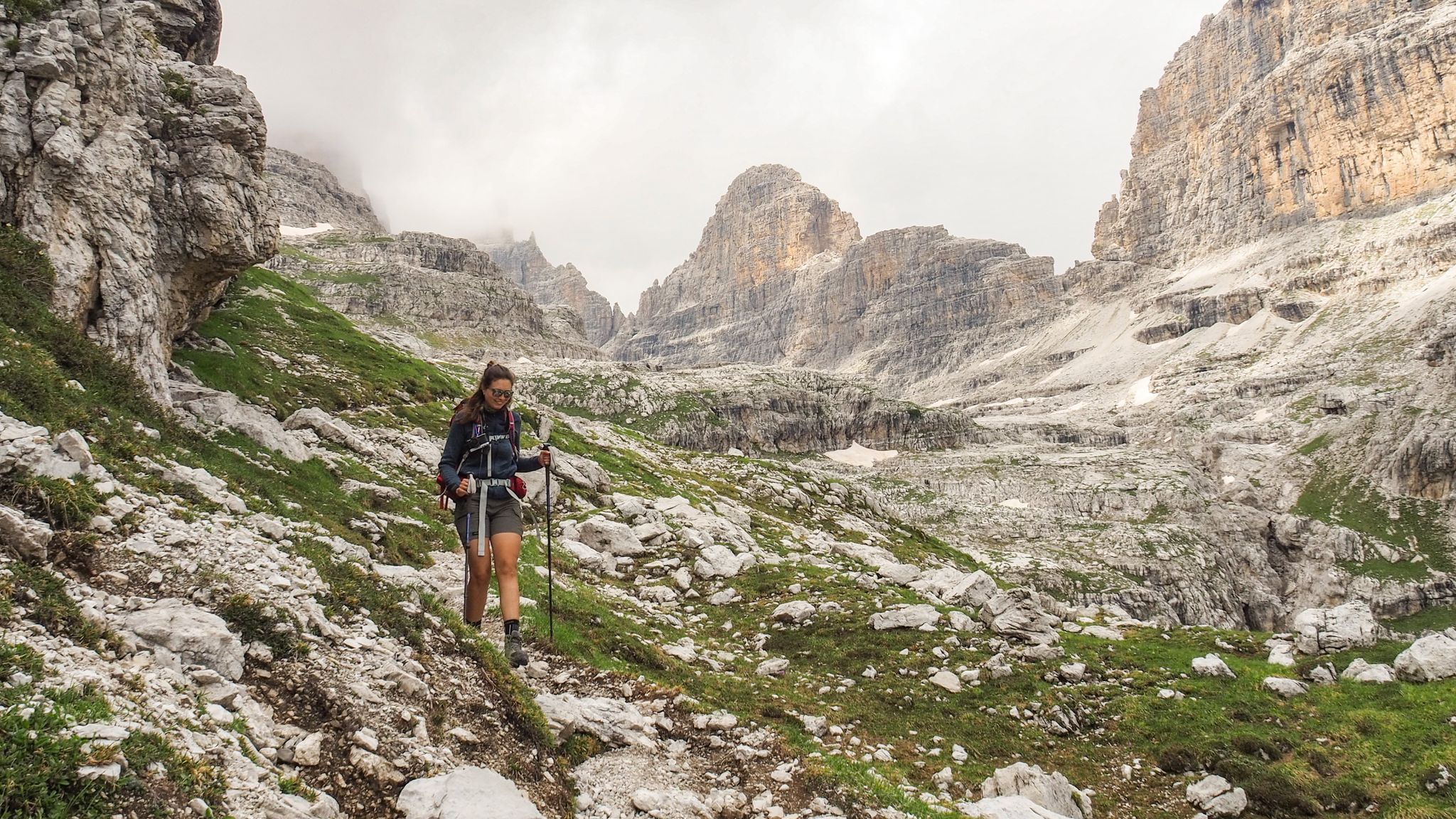
In the heart of the Brenta Dolomites – high peaks and historic huts
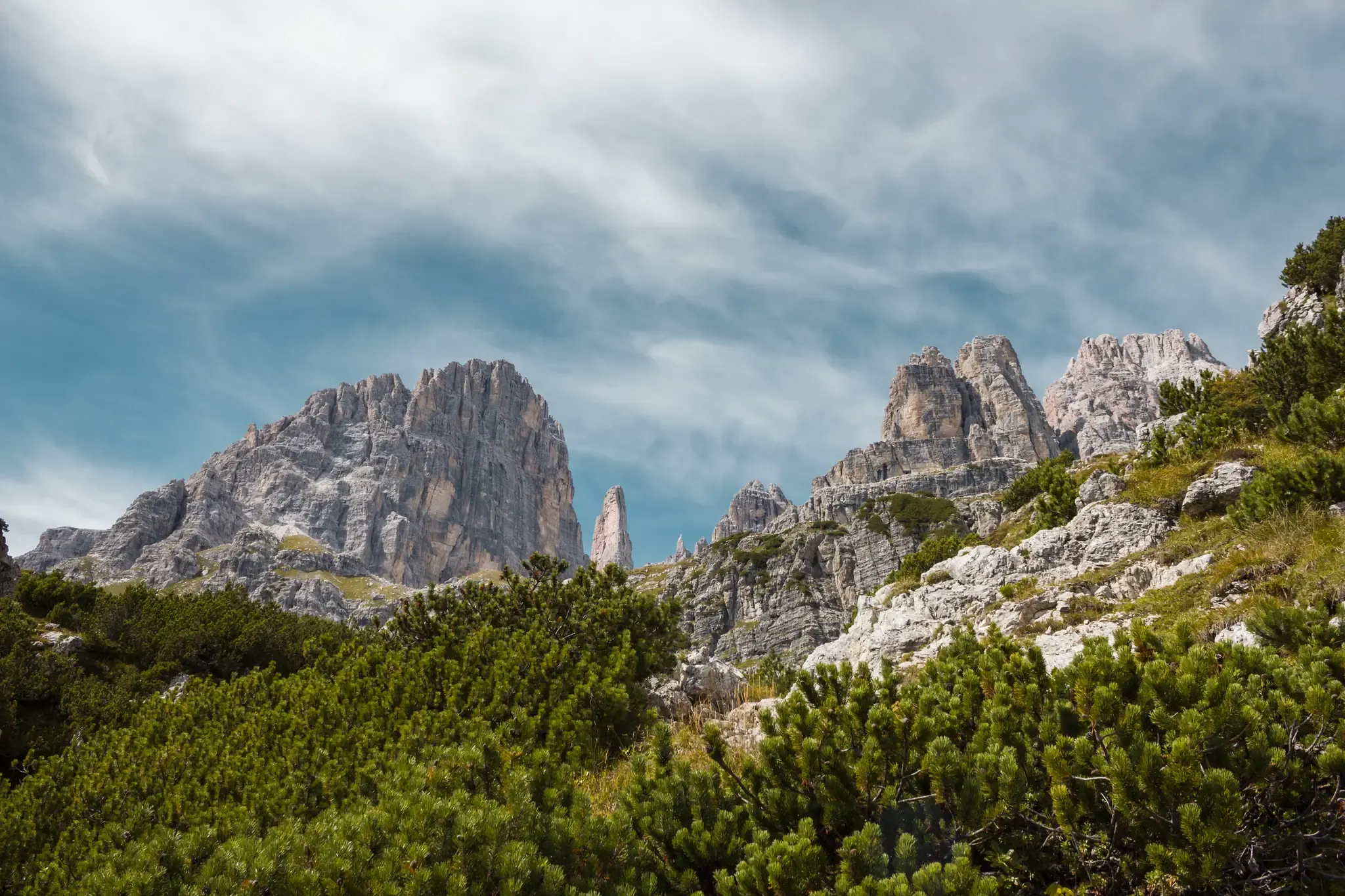
At the foot of the Brenta – 3 hikes starting in Pradel
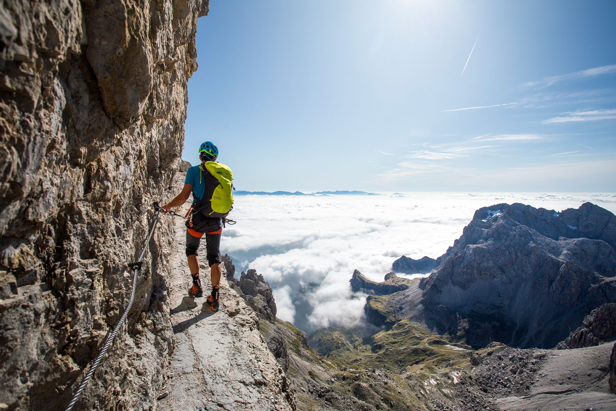
Mighty rock faces of the Brenta Dolomites – hiking trails and via ferratas
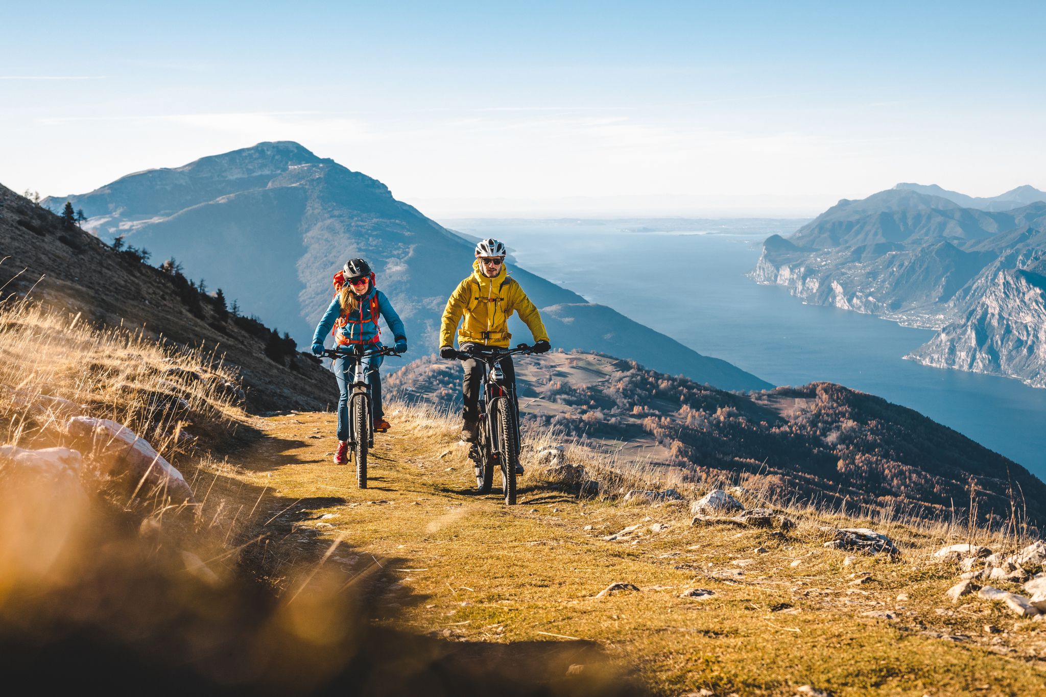
Mountain biking in Trentino in Italy – 10 varied routes
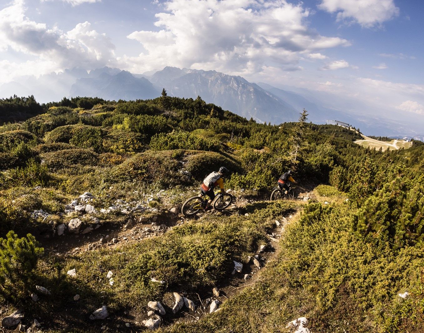
Shred & flow – enduro trails & Tours in Italy’s Dolomiti Paganella
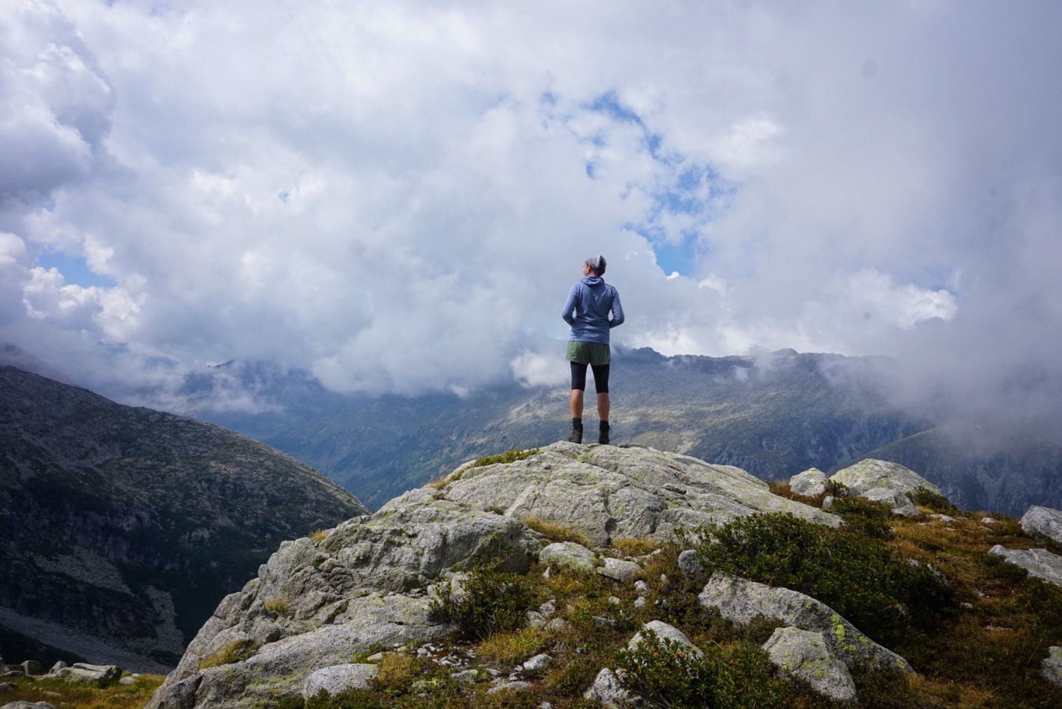
Adventure Adamello — trekking through an isolated Alpine region
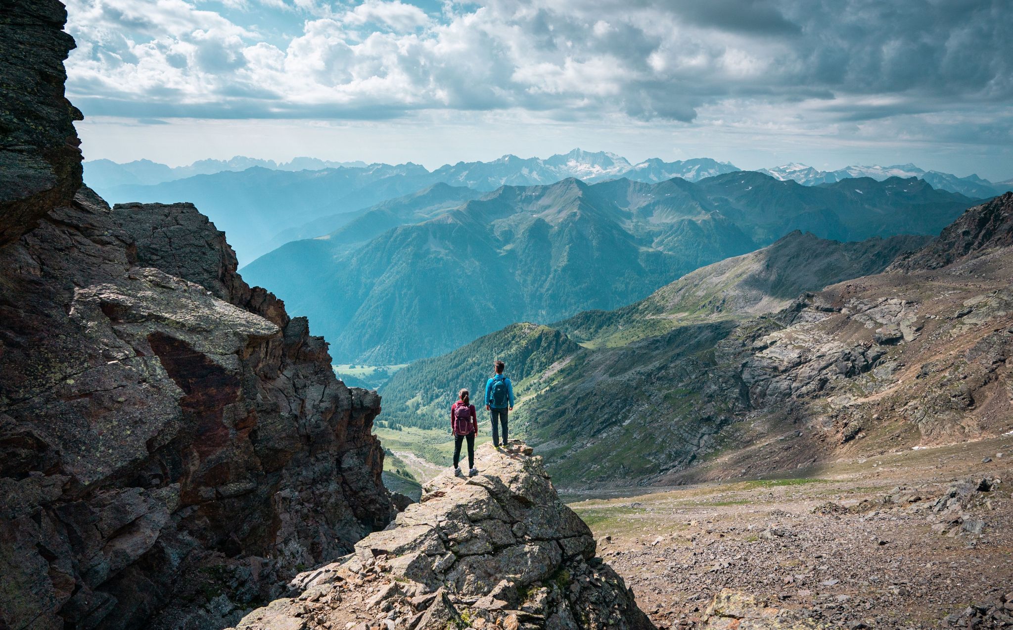
Exquisite hiking and mountaineering — epic tours in Val di Sole
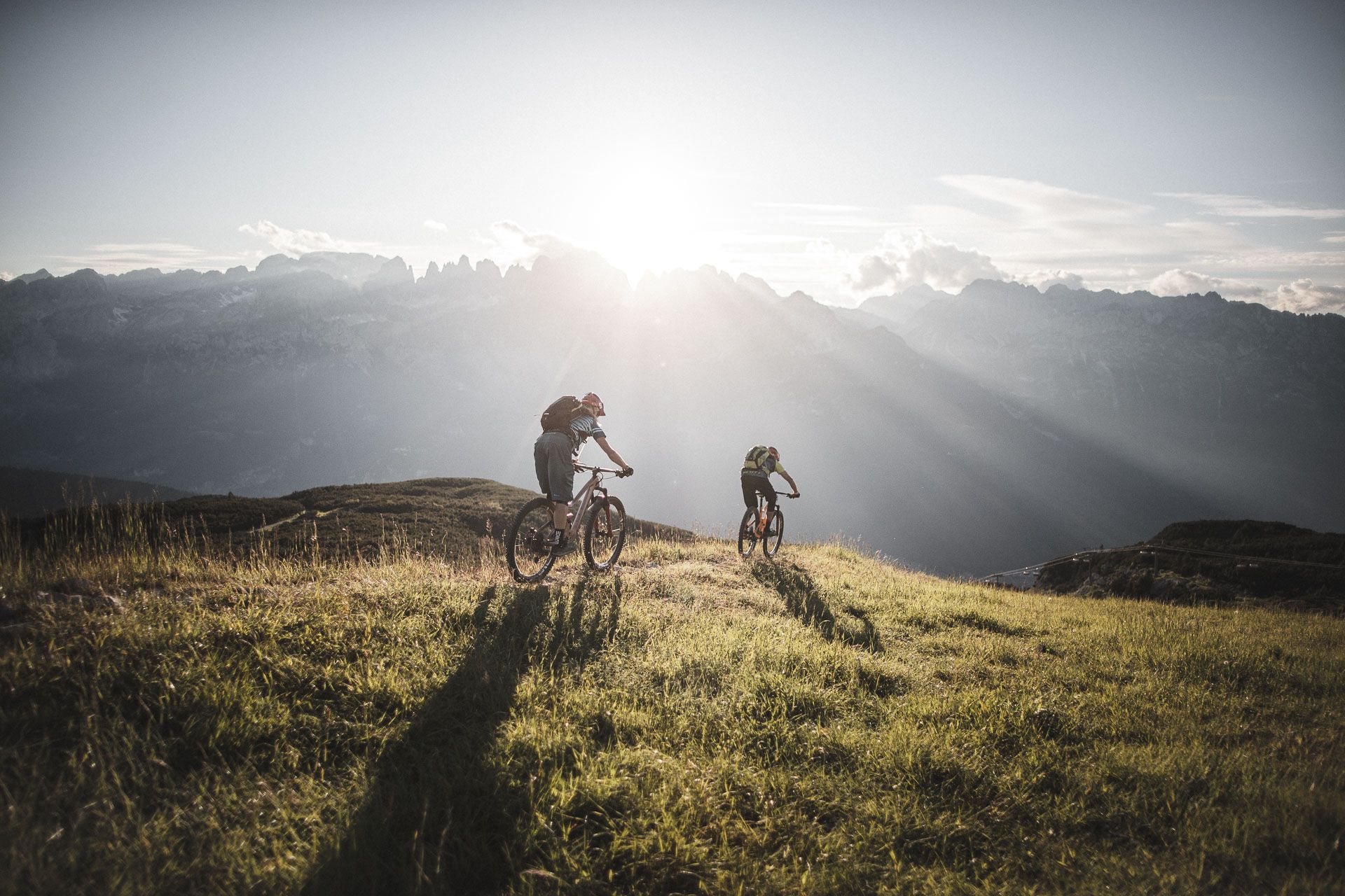
Mountain biking around Paganella in the Dolomites – a biker’s paradise
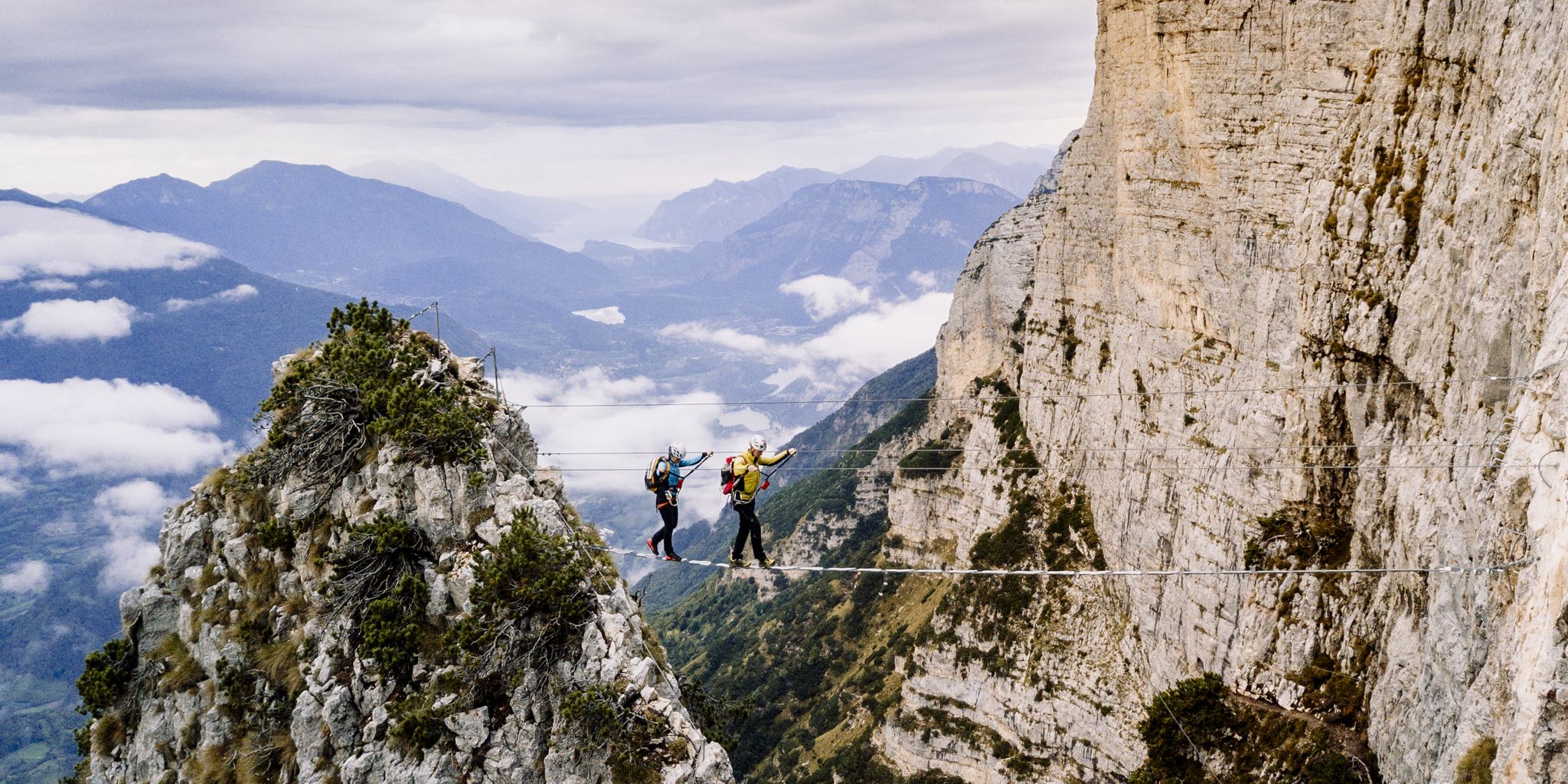
Climbing in the Kingdom of Rocks – hike the Brenta Dolomites
Other adventures around Parco naturale dell'Adamello-Brenta


Tips from the Community


Amazing views of the sharp and naked rocks. From Molveno it's a steep, direct and beautiful hike.
0
0

Bridge over the Sarca River in Vallesinella. Spectacular water. The bridge allows you to reach the other side of the river and then continue to the refuges.
0
0
A beautiful wooden bridge over the Sarca River in Valesinella. Fresh water.
1
0

A truly beautiful tour. Excellent trail, well-marked and maintained.
1
0


Partly secured with ropes and footholds. A steep ascent to the pass, still covered in a vast snowfield in June 2025.
0
0
Frequently Asked Questions
How many mountaineering routes are available in Parco Naturale Adamello-Brenta?
There are over 40 mountaineering routes available in Parco Naturale Adamello-Brenta, ranging from moderate to difficult. The park's diverse terrain, encompassing the dramatic Brenta Dolomites and the glaciated Adamello-Presanella Massif, offers a wide array of options for alpine exploration.
What types of terrain can I expect on mountaineering routes in Parco Naturale Adamello-Brenta?
You'll encounter two distinct types of terrain. The eastern Brenta Dolomites feature dramatic vertical walls, sharp spires, and towering peaks of calcareous-sedimentary rock. To the west, the Adamello-Presanella Massif offers crystalline intrusive magmatic rocks, including granite, and expansive glaciers. This geological diversity provides varied climbing experiences, from classic mountaineering on partially equipped routes to technical granite climbing.
Are there any moderate mountaineering routes for those looking for a less strenuous challenge?
Yes, while many routes are difficult, there are moderate options available. For instance, the Rifugio Vallesinella – Rifugio Casinei loop from Vallesinella is a moderate 7.5 km trail that takes approximately 3 hours and 13 minutes to complete, offering a rewarding experience without the extreme demands of more challenging ascents.
What are some notable natural features or landmarks I might see along the routes?
The park is rich in natural beauty. You can discover spectacular waterfalls like the Nardis Waterfalls in Val di Genova or the Vallesinella Waterfalls. There are also numerous picturesque lakes such as Lago di Nambino and Black Lake, offering stunning views amidst the alpine landscape.
What is the best time of year for mountaineering in Parco Naturale Adamello-Brenta?
The prime season for mountaineering typically runs from late spring to early autumn, generally June through September. During these months, snowmelt allows access to higher passes, and mountain huts are open, providing essential services. Always check local weather and trail conditions before heading out, as alpine weather can change rapidly.
Are there any circular mountaineering routes in the park?
Yes, many routes are designed as loops, allowing you to return to your starting point without retracing your steps. An example is the challenging Alimonta Hut – Bocca di Brenta loop from Cima Brenta, a 9.6 km trail that offers a demanding ascent through high alpine terrain.
Can I find accommodation or places to eat near the trailheads?
Yes, the park has a network of mountain huts (rifugi) that provide accommodation and refreshments, essential for multi-day treks. Areas like Madonna di Campiglio, Val di Genova, and near Lake Tovel also offer various amenities, including cafes, restaurants, and hotels. For example, the Rifugio Adamello Collini al Bedole is a notable hut in the area.
What are the options for public transport to access mountaineering trailheads?
Public transport options vary by trailhead. Key access points like Vallesinella, Lake Tovel, and Val di Genova often have seasonal bus services connecting them to larger towns. It's advisable to check local bus schedules and routes in advance, especially during peak season, to plan your approach to the trailheads effectively.
What do other mountaineers appreciate most about the routes in Parco Naturale Adamello-Brenta?
The routes in Parco Naturale Adamello-Brenta are highly rated by the komoot community, with an average score of 4.9 stars from over 80 reviews. Mountaineers often praise the dramatic Dolomite spires, the impressive glaciated massifs, and the extensive network of trails that cater to various ability levels, providing breathtaking views and challenging alpine experiences.
Are there any challenging multi-day mountaineering routes?
The park is well-suited for multi-day mountaineering thanks to its extensive network of trails and mountain huts. Routes like the Rifugio Casinei – Rifugio Tuckett loop from Vallesinella, a difficult 16 km path, connect prominent mountain huts and navigate through rugged landscapes, making them ideal for multi-day adventures.
Are there any specific regulations or permits required for mountaineering or climbing in the park?
While general hiking on marked trails typically doesn't require specific permits, certain activities like climbing on specific routes, especially those involving technical equipment or protected areas, might have regulations. It's always best to consult the official Parco Naturale Adamello-Brenta website or local mountain guides for the most up-to-date information on any required permits or specific rules for mountaineering activities. For general park information, you can visit visittrentino.info.
What kind of wildlife might I encounter while mountaineering?
Parco Naturale Adamello-Brenta is renowned for its rich biodiversity. You might spot chamois, deer, ibex, and marmots. The park is also a critical habitat for the brown bear, reintroduced through the Life Ursus project. Keep an eye out for golden eagles soaring overhead. Respecting wildlife and maintaining a safe distance is crucial for both your safety and their well-being.
Most popular routes around Parco naturale dell'Adamello-Brenta
Most popular attractions around Parco naturale dell'Adamello-Brenta

Get inspired with the komoot mobile app


Explore more
Browse the best Mountain Hikes & Routes in other regions.
