The best walks and hikes around Parco Naturale Regionale di Porto Conte
4.3
(2076)
12,041
hikers
105
hikes
Hiking around Parco Naturale Regionale di Porto Conte offers diverse landscapes in northwest Sardinia. The park features dramatic coastal cliffs, including the Capo Caccia Cliffs which reach heights of 168 meters, alongside rocky stretches and inland woodlands. Hikers can explore aromatic Mediterranean scrub, gentle hills, and unique wetland areas like Lake Baratz. This varied terrain provides a range of experiences for outdoor enthusiasts.
Best hiking trails around Parco Naturale Regionale di Porto Conte
- The most popular hiking route is Torre del Bollo Trail, a 3.6 miles (5.8 km) trail that takes 2 hours 3 minutes to complete. This moderate route offers views of the coastline and the historic Torre del Bollo.
- Another top favourite among local hikers is Coastal Trail, a moderate 7.7 miles (12.4 km) path. This route follows the rugged coastline, providing expansive sea views.
- Local hikers also love the Monte Timidone from Tramariglio – loop hike, a 7.2 miles (11.6 km) trail leading through varied terrain with panoramic views, often completed in about 3 hours 23 minutes.
- Hiking around Parco Naturale Regionale di Porto Conte is defined by dramatic coastal cliffs, Mediterranean scrub, and inland hills. The network of trails offers options for various ability levels, from easy walks to more challenging routes.
- The routes in Parco Naturale Regionale di Porto Conte are highly rated by the komoot community with an average score of 4.4 stars from over 1,100 reviews. More than 6,100 hikers have used komoot to explore Parco Naturale Regionale di Porto Conte's varied terrain.
Last updated: August 30, 2026
4.6
(253)
989
hikers
5.83km
02:04
300m
300m
Moderate hike. Good fitness required. Mostly accessible paths. Sure-footedness required.
4.5
(27)
98
hikers
12.4km
03:18
120m
120m
Moderate hike. Good fitness required. Mostly accessible paths. Sure-footedness required.

Sign up for free
4.6
(38)
162
hikers
11.6km
03:24
340m
340m
Moderate hike. Good fitness required. Easily-accessible paths. Suitable for all skill levels.
5.0
(7)
25
hikers
5.21km
01:52
210m
210m
Moderate hike. Great for any fitness level. Mostly accessible paths. Sure-footedness required.
4.4
(9)
42
hikers
3.94km
01:06
80m
80m
Easy hike. Great for any fitness level. Easily-accessible paths. Suitable for all skill levels.
Get access to more routes and recommendations from other explorers.
Sign up for free
Already have an account?
Our route recommendations are based on thousands of hikes, rides, and runs completed by other people on komoot.
Start today with a free account
Your next adventure awaits.
Login or Signup
Popular around Parco Naturale Regionale di Porto Conte
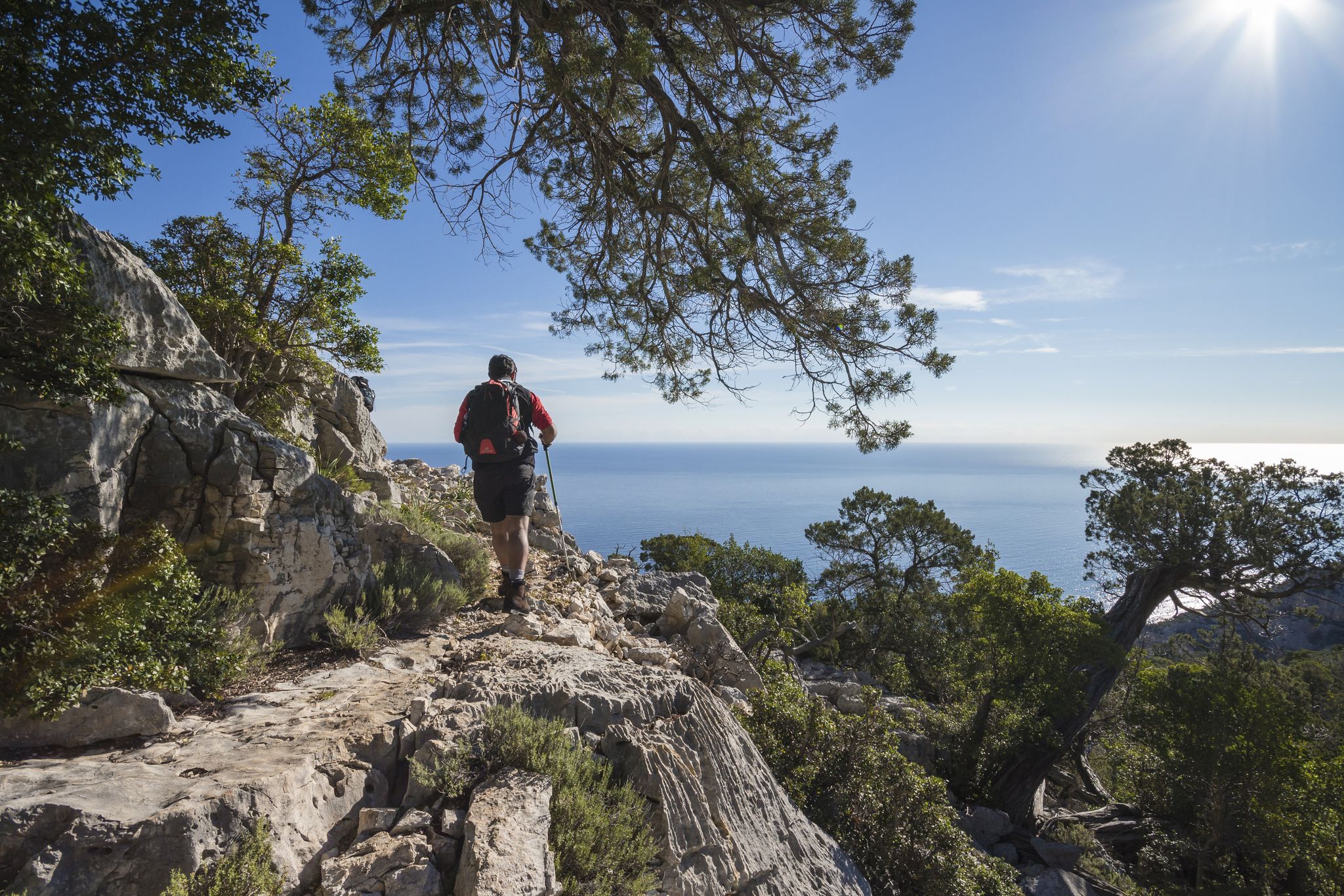
Magnificent Sardinia – day hikes overlooking the sea
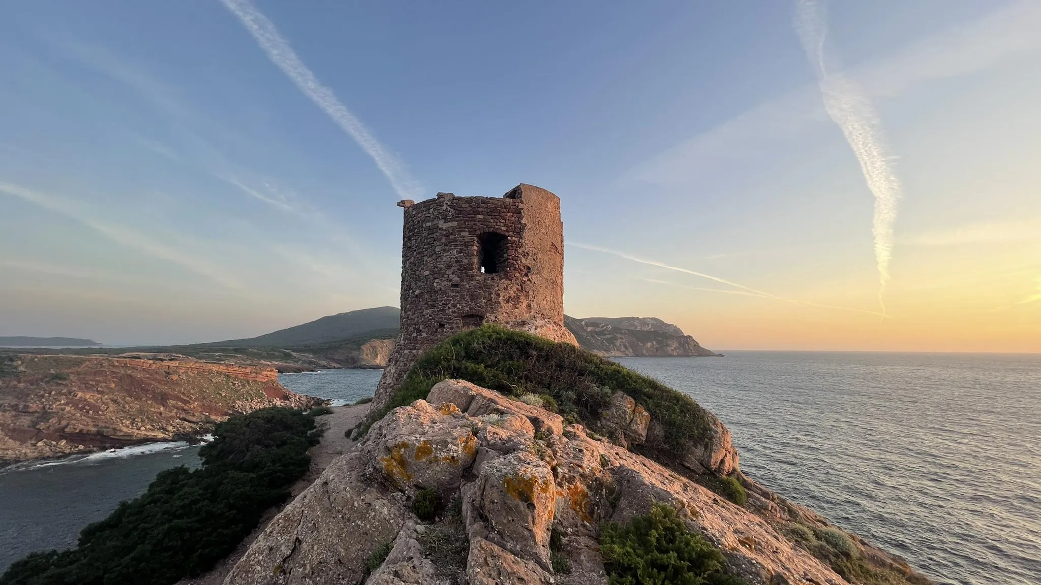
Castelsardo to Bosa Marina on the Via Catalana – Cammino 100 Torri
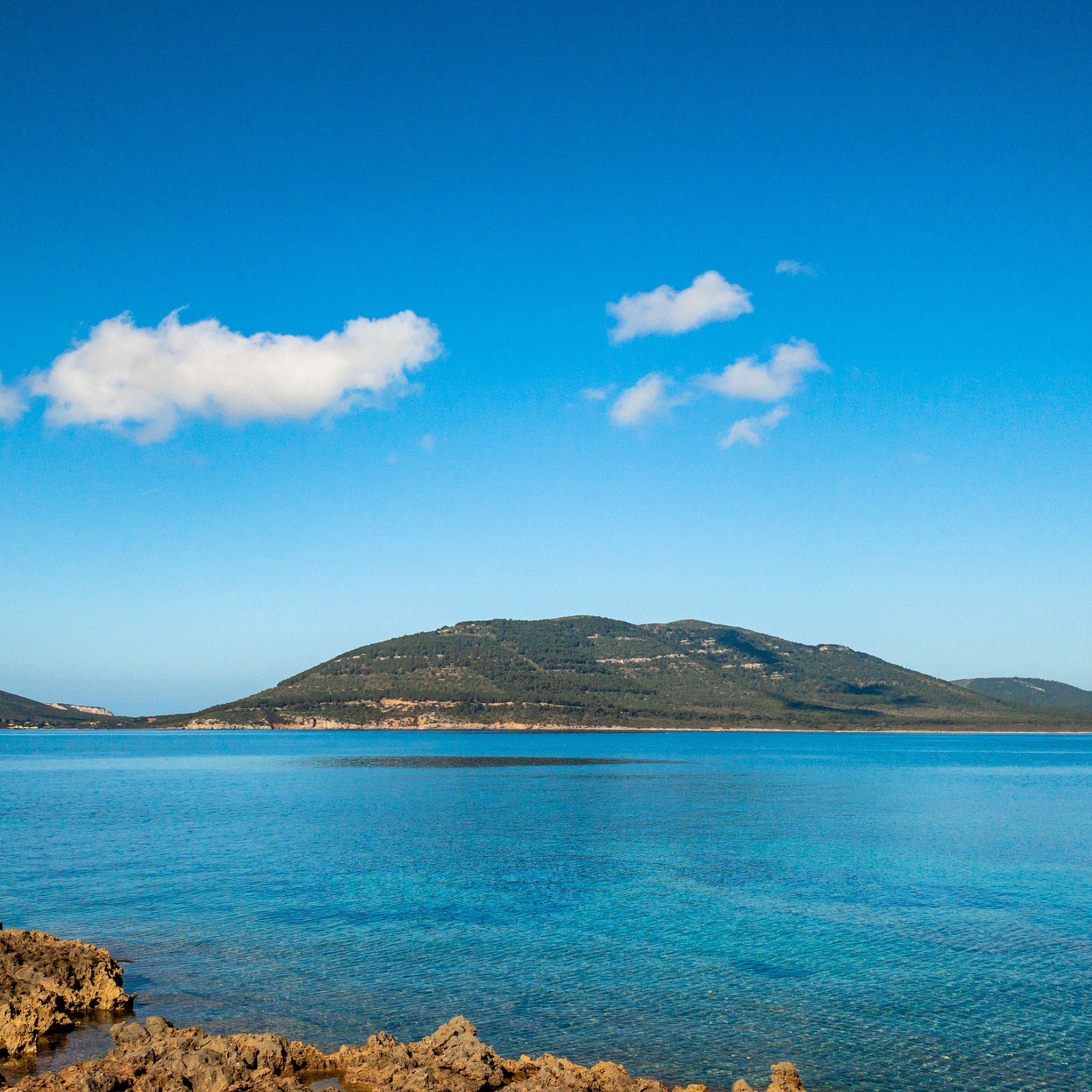
Cycling around Parco Naturale Regionale di Porto Conte
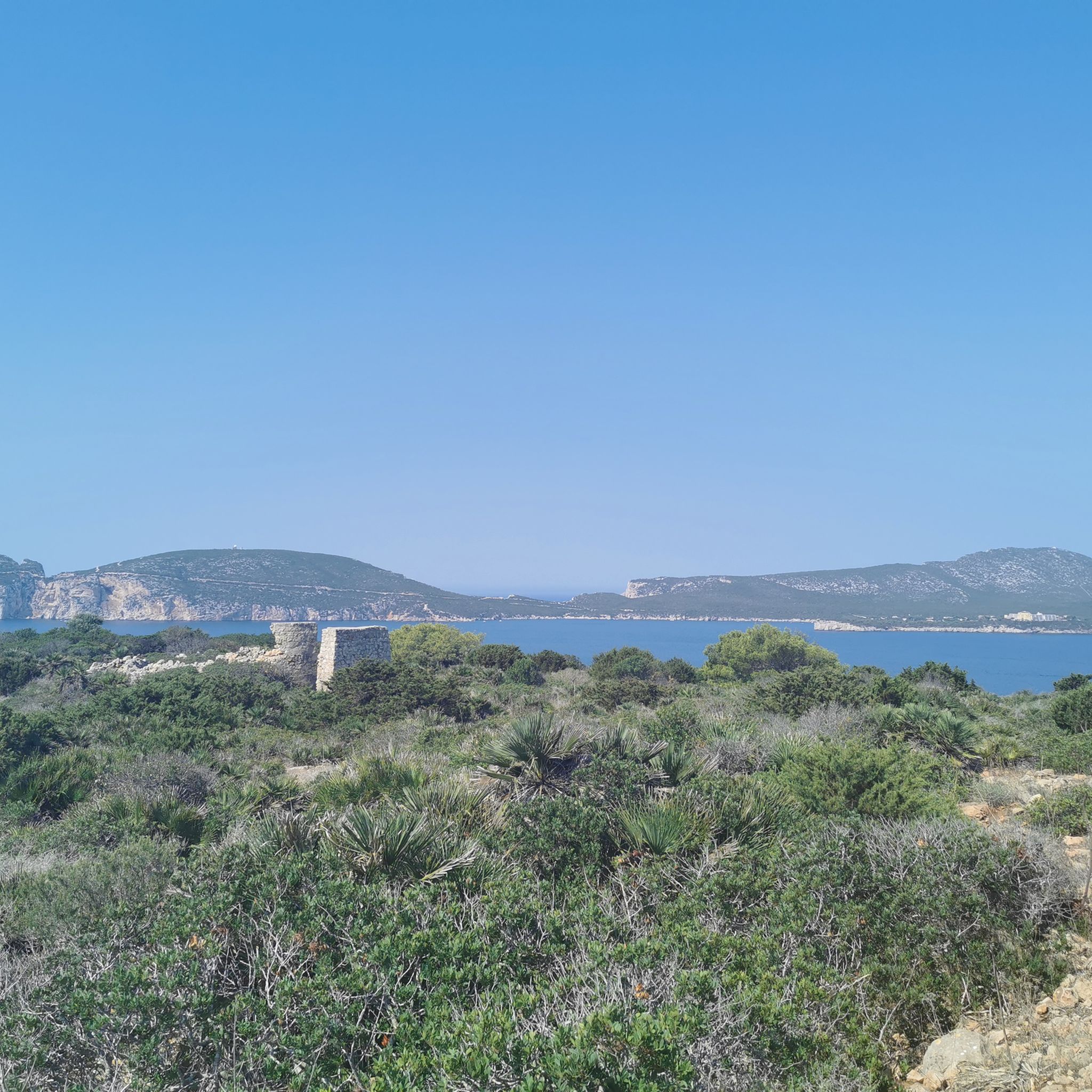
MTB Trails around Parco Naturale Regionale di Porto Conte
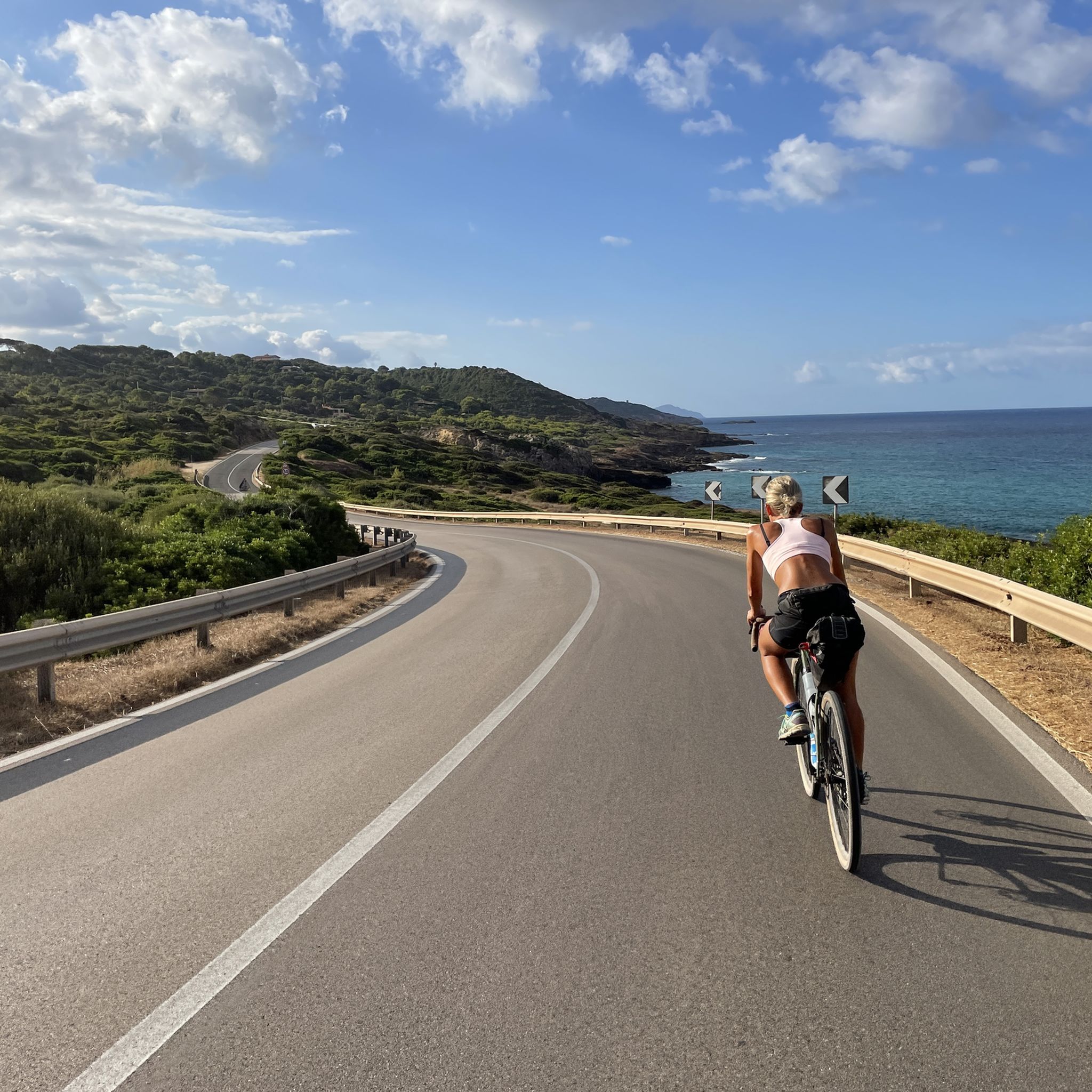
Road Cycling Routes around Parco Naturale Regionale di Porto Conte
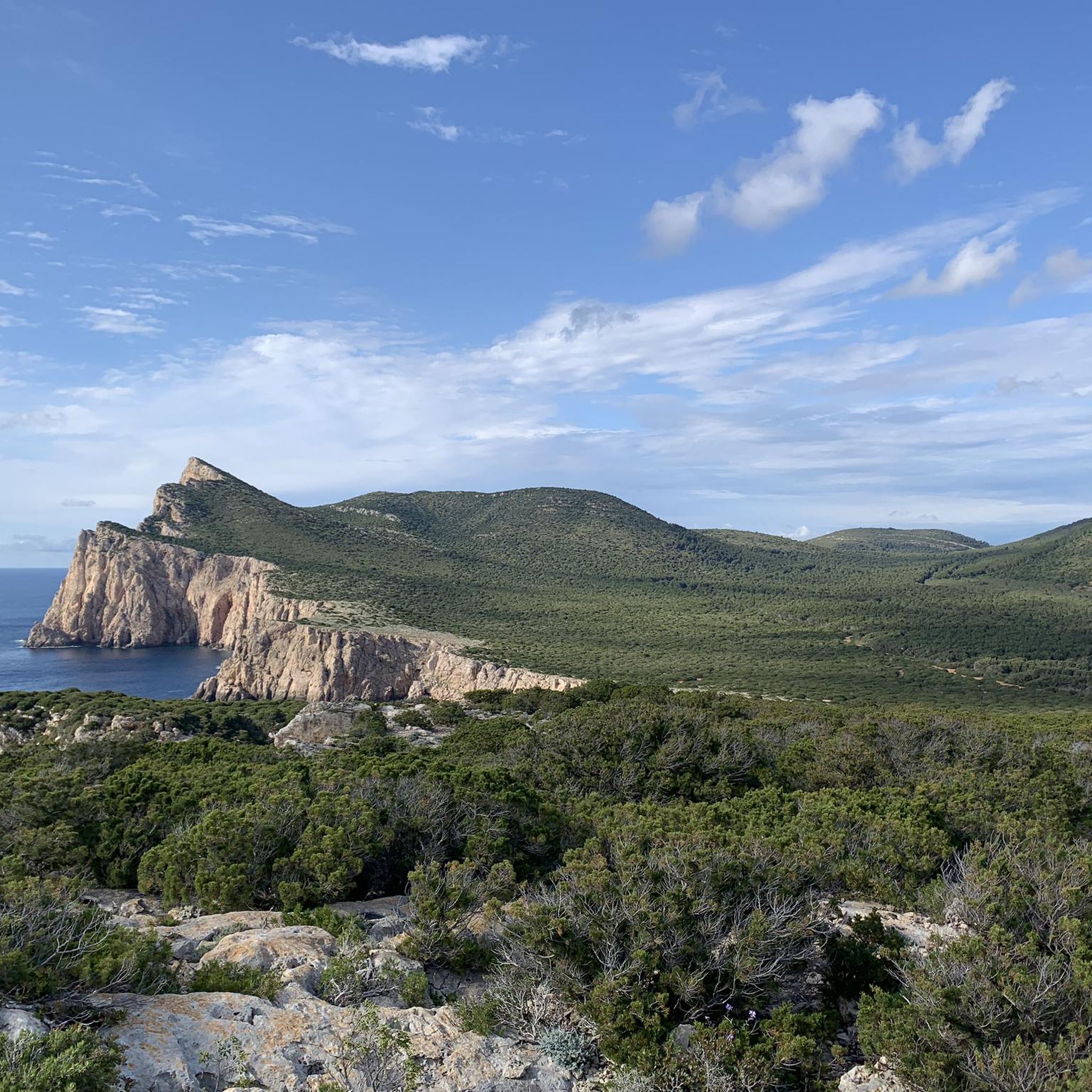
Running Trails around Parco Naturale Regionale di Porto Conte

Gravel biking around Parco Naturale Regionale di Porto Conte
Other adventures around Parco Naturale Regionale di Porto Conte


Tips from the Community

The first part of the tour is indeed easy. The section to the tower and back down is definitely for the sporty hiker and even then not easy. Difficult to follow path over rocks and undergrowth. The descent is steep over large rocks but quite well marked.
0
0

The described starting point or access to the national park is not possible as shown (the gates are locked). Entrance is available for a fee (€9 per person) only at the "main entrance" near Villa Romana (as of June 9, 2025).
0
0
Magnificent views, bring water and suitable footwear. Follow the blue dots on the rocks if the path seems uncertain.
0
0

Cala Dragunara is a lovely little cove. The small bar/restaurant has a friendly owner, good service, good food, quiet guests, and a picture-perfect panorama! All in all, a place to relax 😎
1
0

Dreamy half-bay. View from above of the coast/sea
0
0

The park is generally beautiful, even if, for example, the western path along the water is difficult to walk in places because it's too rocky. - But what's the admission fee for?
0
0

The Grotte di Nettuno (Neptune's Grotto) is a stalactite cave near Alghero in the metropolitan city of Sassari on the Italian island of Sardinia, near Capo Caccia, around which a maritime protected area extends.
1
0
The grotto is one meter above sea level at the foot of a 110 meter high steep rock face and can only be visited when the sea is calm. It can be reached via a staircase with 654 steps in the almost vertical cliff, the Escala del Cabirol (German: deer ladder). Alternatively, you can take a less strenuous boat tour from Alghero or a nearby car park. Only a few hundred meters of the extensive, approximately four-kilometer-long cave system are accessible to the public. As part of a guided tour, you can see stalactite formations, calcareous sinter deposits and a small, approximately 120-meter-long saltwater lake that is connected to the sea. Explanations are given via permanently installed loudspeakers in Italian, English and German.
1
0
Frequently Asked Questions
How many hiking trails are available in Parco Naturale Regionale di Porto Conte?
There are over 90 hiking routes in Parco Naturale Regionale di Porto Conte, catering to various fitness levels. This includes 46 easy routes, 48 moderate routes, and 4 more challenging trails.
What kind of terrain can I expect on hikes in Parco Naturale Regionale di Porto Conte?
The park offers a diverse range of terrain. You'll find dramatic coastal cliffs, such as the Capo Caccia Cliffs, alongside rocky stretches, aromatic Mediterranean scrub, and inland woodlands. Unique wetland areas, including lagoons and Lake Baratz, also contribute to the varied landscape.
Are there any family-friendly hiking options in Parco Naturale Regionale di Porto Conte?
Yes, the park features many easy routes suitable for families. For example, the Cala Bramassa da Maristella – loop hike is an easy 3.9 km trail with minimal elevation gain, offering a pleasant experience for all ages.
What are some notable natural features or landmarks to see while hiking?
Hikers can explore several significant natural features. The Capo Caccia Cliffs offer breathtaking panoramic views, and from there, you can access the famous Neptune's Grotto via the Escala del Cabirol (Goat's Staircase). Mount Timidone also provides expansive views, and you might spot the historic Torre della Pegna.
Are there any circular hiking routes in the park?
Yes, there are several circular routes available. A popular option is the Monte Timidone from Tramariglio – loop hike, which covers 11.6 km through varied terrain with panoramic views.
What do other hikers enjoy most about hiking in Parco Naturale Regionale di Porto Conte?
The area is highly rated by the komoot community, with an average score of 4.4 stars from over 1,100 reviews. Hikers often praise the dramatic coastal scenery, the diverse ecosystems, and the well-maintained trails that offer options for all ability levels.
Is public transport available to reach hiking trailheads in Parco Naturale Regionale di Porto Conte?
While specific public transport routes directly to all trailheads might be limited, the park is accessible from nearby towns like Alghero. For detailed information on bus schedules and stops within the region, it's advisable to check local transport services or the official Alghero tourism website at visit-alghero.com.
Are there opportunities for wildlife spotting in the park?
Absolutely. The park's diverse ecosystems support a rich biodiversity. You might encounter wildlife such as deer, wild boars, albino donkeys, Giara horses, and various bird species, including griffon vultures and peregrine falcons, especially around Lake Baratz and the protected areas like Le Prigionette.
What is the best time of year to go hiking in Parco Naturale Regionale di Porto Conte?
While hiking is possible year-round, spring and autumn generally offer the most pleasant conditions with milder temperatures and lush landscapes. Summers can be hot, making early morning or late afternoon hikes more comfortable, especially for coastal routes.
Are there any historical sites or watchtowers to explore on the trails?
Yes, the park features historical watchtowers that offer great views. The Torre del Bollo Trail leads to the historic Torre del Bollo. Another notable site is the Torre del Buru, which provides spectacular views of the bay and cliffs of Porto Conte.
Most popular routes around Parco Naturale Regionale di Porto Conte
Most popular attractions around Parco Naturale Regionale di Porto Conte

Get inspired with the komoot mobile app


Explore more
Browse the best Hikes in other regions.
