The best running trails around Parco naturale del Monte Barro
4.4
(283)
15,545
runners
10
runs
Jogging around Parco naturale del Monte Barro offers diverse landscapes within a calcareous-dolomitic massif. The region features grasslands, lush woodlands, and rocky areas, providing varied terrain for running. Panoramic views from the summit of Monte Barro encompass the Brianza hills, the Adda Valley, Lake Como, and other smaller lakes. This natural park is recognized for its rich biological diversity and extensive trail network.
Best jogging routes around Parco naturale del Monte Barro
- The most popular jogging route is Monte Barro…
Last updated: July 7, 2026
2
runners
3.52km
00:42
230m
250m
Hard run. Good fitness required. Sure-footedness, sturdy shoes and alpine experience required.
31
runners
24.9km
02:36
150m
150m
Hard run. Very good fitness required. Mostly paved surfaces. Suitable for all skill levels.

Sign up for free
34
runners
3.49km
00:47
320m
320m
Hard run. Very good fitness required. Sure-footedness, sturdy shoes and alpine experience required.
3.0
(1)
26
runners
17.5km
01:55
240m
240m
Hard run. Very good fitness required. Mostly paved surfaces. Suitable for all skill levels.
5.0
(1)
19
runners
23.5km
03:28
1,220m
1,220m
Hard run. Very good fitness required. Sure-footedness, sturdy shoes and alpine experience required.
Get access to more routes and recommendations from other explorers.
Sign up for free
Already have an account?
Our route recommendations are based on thousands of hikes, rides, and runs completed by other people on komoot.
Start today with a free account
Your next adventure awaits.
Login or Signup
Popular around Parco naturale del Monte Barro
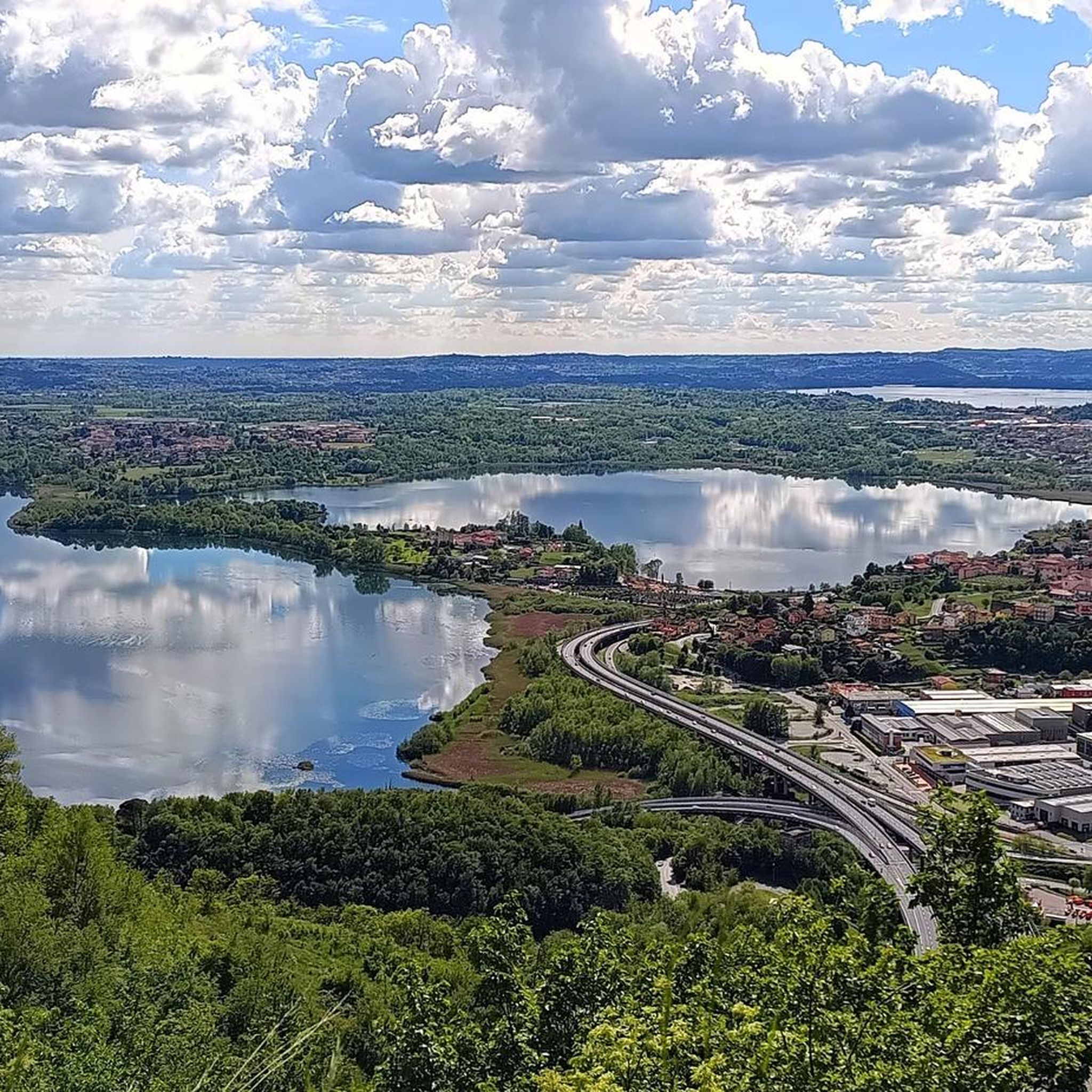
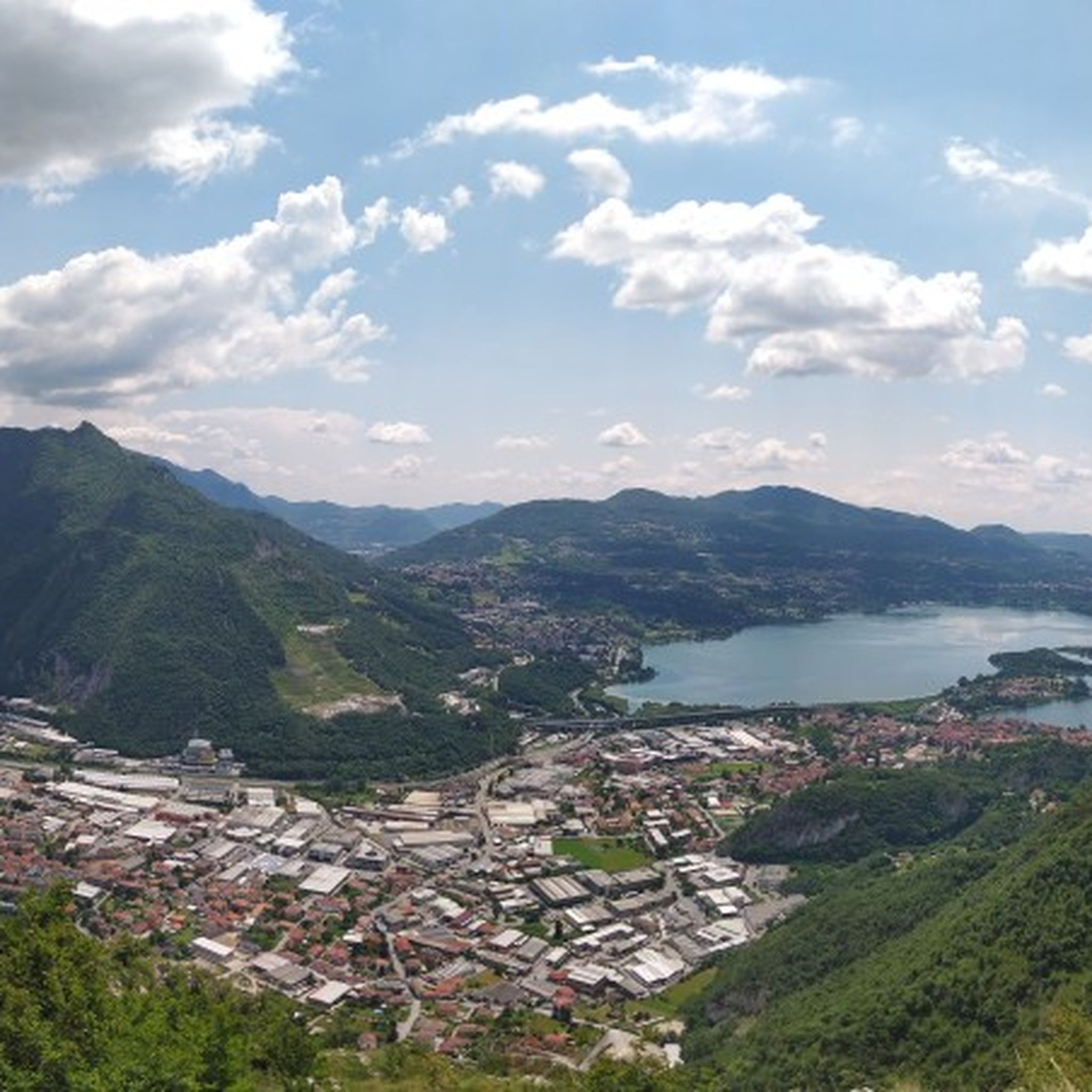
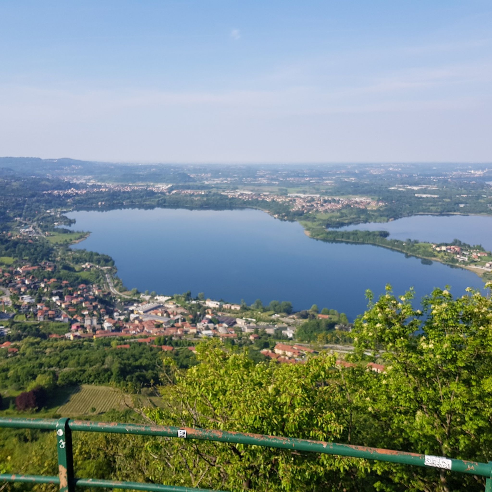
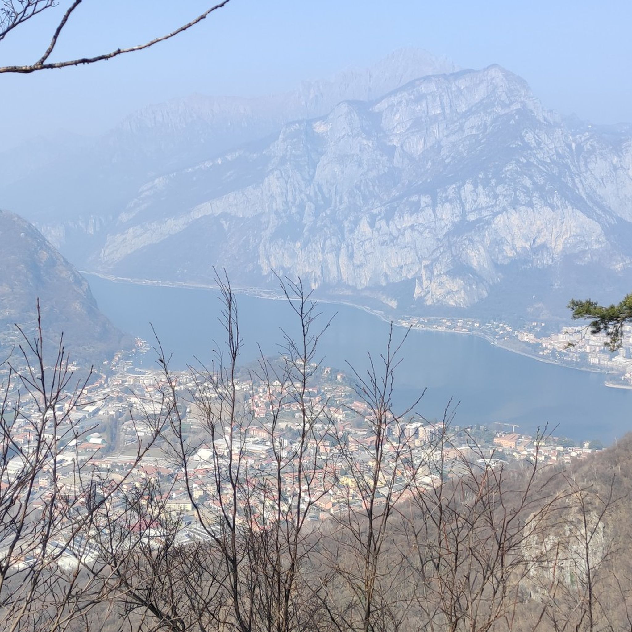


Tips from the Community

Beautiful 360° panorama from the summit of Monte Cornizzolo
0
0

towards Pescarenico via Isola dell'Adda
0
0

Very beautiful... worth it... you can also visit the archaeological area and the museum
0
0

Viewpoint summit above Civate, next to Mt. Cornizzolo. Accessible by bike from Cornizzolo. Turn right about 300m before the antenna. Continue through the meadow for about 300m to Mt. Rey. Descent towards Mt. Cornizzolo S1-S2 with a few sections of walking; strenuous ascent.
0
0

Completely hikeable peak from any path you take to reach the top, beautiful 360° panorama, highly recommended for those who want to start going to the mountains.
2
0

very nice bridge over the water
0
0
beautiful walk on Lake Como
0
0

Frequently Asked Questions
How many running routes are available in Parco naturale del Monte Barro?
There are over 380 running routes available in Parco naturale del Monte Barro, catering to various skill levels. This includes 22 easy routes, 155 moderate routes, and 205 difficult routes, ensuring options for every runner.
What kind of terrain can I expect when running in Parco naturale del Monte Barro?
The park offers a diverse range of terrain within its calcareous-dolomitic massif. You'll encounter grasslands, lush woodlands, and rocky areas, providing a dynamic and engaging backdrop for your run. Trails vary from easily accessible paths to more challenging ascents with steeper sections.
Are there any family-friendly jogging routes in Parco naturale del Monte Barro?
Yes, there are routes suitable for families. While some trails involve significant elevation, options like the trek from Pian Sciresa are known to be easier and offer splendid views, making them enjoyable for all ages. Look for routes categorized as 'easy' for the most family-friendly experience.
Can I bring my dog on the running trails in Parco naturale del Monte Barro?
The region is generally dog-friendly, but it's always best to check specific trail regulations within the Parco naturale del Monte Barro. Ensure your dog is on a leash, especially given the park's rich biodiversity and the presence of various bird species.
What are some notable landmarks or viewpoints I can see while jogging?
Many routes offer stunning views and pass by historical sites. You can enjoy 360-degree panoramic views from the summit of Monte Barro, overlooking the Brianza hills, Lake Como, and other smaller lakes. Points of interest include the Monte Barro Hermitage, the Piani di Barra archaeological park, and the Monte Barro Summit View.
Are there any circular running routes in the park?
Yes, the park features several circular routes. For example, the 'Ring tour of Monte Barro' (3.6 km) and the 'Discovering Parco Monte Barro loop tour' (6.1 km) are popular options. Another great loop is Monte Barro Summit View – View of Lake Pusiano loop from Galbiate, offering rewarding vistas.
What do other runners enjoy most about jogging in Parco naturale del Monte Barro?
The area is highly rated by the komoot community, with an average score of 4.3 stars from over 350 reviews. Runners often praise the diverse landscapes, the stunning panoramic views from the summit, and the extensive network of well-marked trails that cater to different fitness levels.
How accessible is Parco naturale del Monte Barro by public transport?
The park is easily reachable from nearby towns such as Lecco, Malgrate, and Galbiate. These towns typically have public transport connections, making it convenient to access various trail starting points within the park.
Are there options for longer distance running trails?
Absolutely. For those seeking a longer challenge, routes like Monte Barro Hermitage – Sasso della Vecchia Viewpoint loop from Galbiate cover approximately 20.1 km with significant elevation gain, providing a demanding and rewarding experience through woodlands and past historical sites.
What is the best time of year to go running in Parco naturale del Monte Barro?
The park is enjoyable throughout much of the year. During warmer periods, the dense woods offer shaded sections, making for a pleasant run. The diverse environments and panoramic views are beautiful in spring, summer, and autumn. Winter can offer unique scenery, but some trails might be more challenging due to conditions.
Are there any easy jogging routes for beginners?
Yes, while many routes involve elevation, there are 22 routes specifically categorized as 'easy' within the park. These provide a gentler introduction to running in the area, allowing beginners to enjoy the natural beauty without excessive challenge.
What are the most challenging running routes in the park?
For experienced runners looking for a challenge, the park offers 205 difficult routes. An example is the Monte Barro Summit Loop, a shorter but difficult trail with significant elevation gain that rewards with panoramic views from the summit.
Most popular routes around Parco naturale del Monte Barro
Most popular attractions around Parco naturale del Monte Barro

Get inspired with the komoot mobile app


Explore more
Browse the best Running Trails & Routes in other regions.
