The best road cycling routes around Pamhagen
4.8
(139)
2,745
riders
34
rides
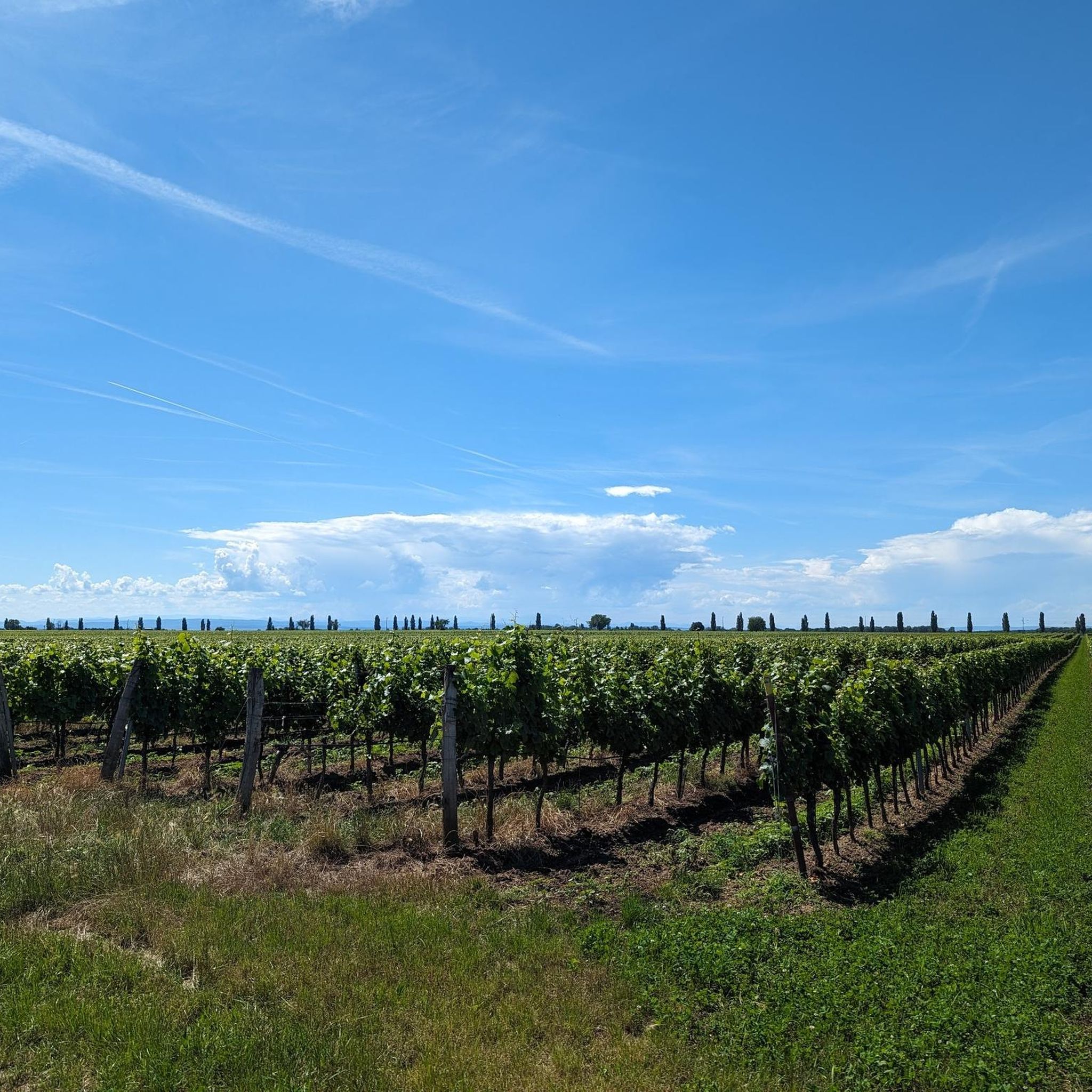
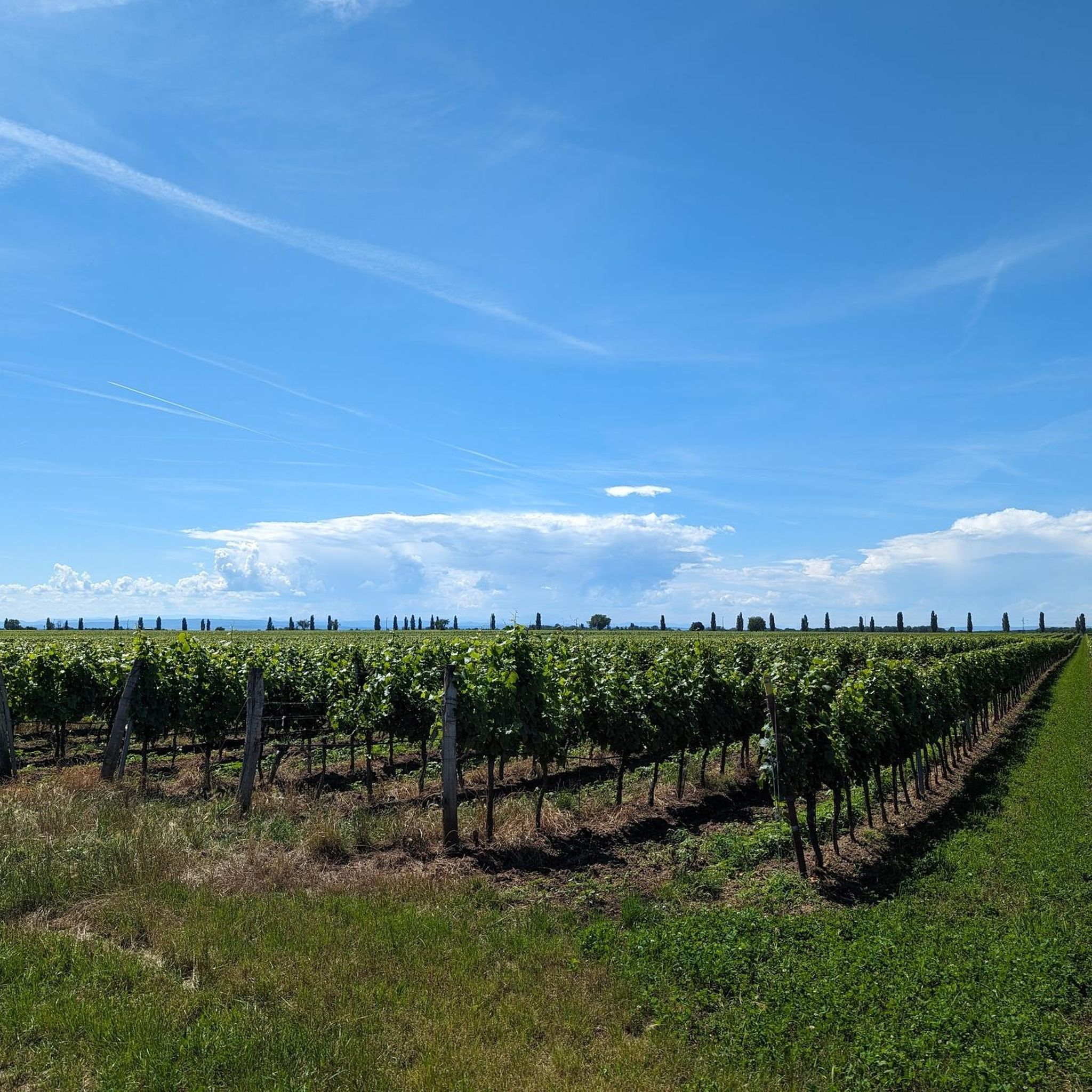
Road cycling routes around Pamhagen traverse a predominantly flat landscape characterized by expansive plains, agricultural fields, and the proximity to Lake Neusiedl. The region features minimal elevation changes, with routes often following dedicated cycle paths and quiet country roads. This terrain is suitable for sustained cycling efforts without significant climbs, offering open views across the Pannonian Basin.
Best road cycling routes around Pamhagen
- The most popular road cycling route is Cycle Path Near Deutschkreutz – Hölle Observation Tower loop from…
Last updated: May 20, 2026
5.0
(2)
75
riders
51.6km
01:59
70m
70m
Easy road ride. Great for any fitness level. Mostly well-paved surfaces and easy to ride.
5.0
(7)
74
riders
55.5km
02:06
80m
80m
Moderate road ride. Good fitness required. Mostly well-paved surfaces and easy to ride.

Sign up for free
5.0
(2)
66
riders
Moderate road ride. Great for any fitness level. Some segments of this route may be unpaved and difficult to ride.
4.7
(6)
53
riders
Easy road ride. Great for any fitness level. Mostly well-paved surfaces and easy to ride.
33
riders
89.4km
03:25
170m
170m
Moderate road ride. Good fitness required. Mostly well-paved surfaces and easy to ride.
Get access to more routes and recommendations from other explorers.
Sign up for free
Already have an account?
Our route recommendations are based on thousands of hikes, rides, and runs completed by other people on komoot.
Start today with a free account
Your next adventure awaits.
Login or Signup
Tips from the Community

From the bridge, there are beautiful views of the Leitha and its watercourse.
0
0

Beautiful landscape around the lake
3
0
Border crossing Austria - Hungary, very beautiful
3
0
Always something going on on the promenade
3
0
Caution when crossing the metal ramp
3
0
Reeds as far as the eye can see
3
0
Great restaurant, friendly staff, very good food
3
0

The "Walk of Fame" in Neusiedl am See is part of the "Square of Champions" near the lake, a kind of athletes' promenade where handprints of successful athletes from the region are immortalized, such as water sports athletes Valentin Bontus, Calvin Claus, and Angelika Kohlendorfer. It is a popular starting point for hikes and walks around Lake Neusiedl, which are also listed as a "Walk of Fame" on hiking apps like Komoot.
1
0
Frequently Asked Questions
What is the general difficulty level of road cycling routes around Pamhagen?
The road cycling routes around Pamhagen are predominantly easy to moderate, reflecting the region's flat landscape. There are 16 easy routes and 16 moderate routes, with only 2 routes considered difficult, making the area accessible for various skill levels.
Are there any beginner-friendly road cycling routes in Pamhagen?
Yes, Pamhagen offers a good selection of routes suitable for beginners. With 16 easy routes available, cyclists new to the area can enjoy gentle rides. An example is the Grundlacke Fish Pond – Podersdorf Lighthouse loop from St. Andrä am Zicksee, which is an easy 27.75 km ride.
What are the typical lengths of road cycling routes near Pamhagen?
Road cycling routes near Pamhagen vary in length, generally ranging from shorter loops to longer excursions. For instance, the easy Grundlacke Fish Pond – Podersdorf Lighthouse loop from St. Andrä am Zicksee is about 27.75 km, while the moderate St. Martins Therme & Lodge – Zicksee loop from St. Andrä am Zicksee extends to approximately 88.6 km.
Are there any challenging road cycling routes for experienced cyclists in Pamhagen?
While Pamhagen is known for its flat terrain, there are a couple of routes that offer a slightly more challenging experience, with 2 routes classified as difficult. These routes might involve longer distances or more exposed sections, providing a good workout for experienced road cyclists.
What kind of scenery can I expect on road cycling routes around Pamhagen?
Road cycling around Pamhagen offers open views across the Pannonian Basin, characterized by expansive plains, agricultural fields, and the proximity to Lake Neusiedl. Many routes feature lakeside paths, such as those passing by Zicksee or Zicklacke (Illmitz-Hölle), providing diverse and scenic backdrops.
Are there any notable landmarks or points of interest along the road cycling routes?
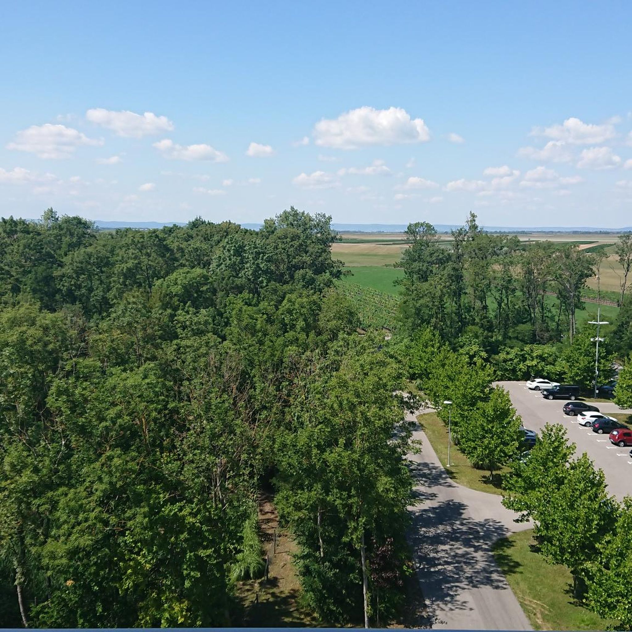
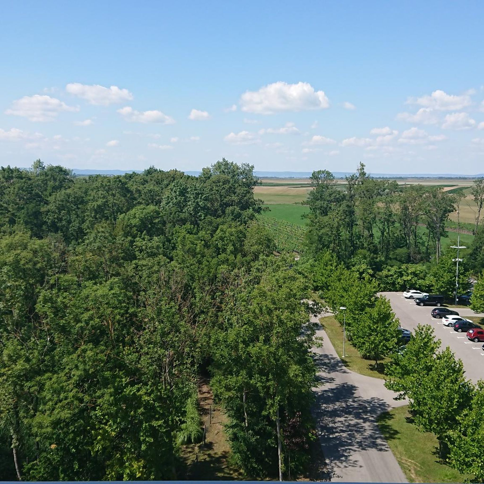
Yes, several routes pass by interesting landmarks and natural features. You might encounter the Lowest Point of Austria (Apetlon, 114 m), or observe the White Donkey Conservation Project at Sandeck. The Hölle Observation Tower – Zicksee loop from St. Andrä am Zicksee, for example, offers views towards the Hölle Observation Tower and passes by Zicksee.
What do other road cyclists say about the routes in Pamhagen?
The road cycling routes in Pamhagen are highly regarded by the komoot community, holding an average rating of 4.8 stars from over 130 reviews. Cyclists often praise the flat, well-maintained paths, the scenic views of the Pannonian Basin, and the tranquil atmosphere of the lakeside and agricultural landscapes.
Are there many loop road cycling routes available in Pamhagen?
Yes, many of the road cycling routes around Pamhagen are designed as loops, allowing for convenient starting and ending points. Examples include the Cycle Path Near Deutschkreutz – Hölle Observation Tower loop from Apetlon and the Walk of Fame, Neusiedl am See – Podersdorf Lighthouse loop from St. Andrä am Zicksee.
What is the best time of year for road biking in Pamhagen?
The flat terrain of Pamhagen makes it suitable for road cycling for much of the year, particularly from spring through autumn. The summer months offer long daylight hours and generally stable weather, ideal for exploring the open plains and lakeside paths.
Are there quiet road cycling trails around Pamhagen?
Pamhagen's road cycling network largely utilizes dedicated cycle paths and quiet country roads, offering a peaceful cycling experience away from heavy traffic. The expansive agricultural fields and natural areas contribute to a tranquil environment, perfect for enjoying the open landscape.
How many road cycling routes are available in the Pamhagen area?
There are over 30 road cycling routes available around Pamhagen, offering a wide variety of options for different preferences and skill levels. This includes 16 easy, 16 moderate, and 2 difficult routes.
Most popular attractions around Pamhagen

Get inspired with the komoot mobile app


Explore more
Browse the best Road cycling routes in other regions.
