The best walks and hikes around Regional Park Roccamonfina - Foce Garigliano
4.0
(127)
427
hikers
12
hikes
Hiking around Regional Park Roccamonfina - Foce Garigliano offers diverse terrain shaped by an ancient extinct volcano and its fertile soils. The landscape features dense chestnut, beech, and oak forests, with prominent peaks like Monte Santa Croce (1005 m) providing panoramic views. Towards the Tyrrhenian coast, the park includes river systems such as the Garigliano, Savone, and Peccia, which carve paths through volcanic and limestone areas. This combination of volcanic mountains, woodlands, and river valleys creates varied hiking environments.
Best hiking trails around Regional Park Roccamonfina - Foce Garigliano
- The most popular hiking route is From Roccamonfina to the Conca della Campania Waterfall – ring tour, a 9.6 miles (15.5 km) trail that takes about 4 hours 40 minutes to complete, leading through volcanic landscapes and past waterfalls.
- Another top favourite among local hikers is Roccamonfina Loop Trail, a difficult 10.6 miles (17.1 km) path. This route explores the ancient Roccamonfina volcano, offering views of its crater and surrounding forests.
- Local hikers also love the Cescheto, San Carlo, and Sipicciano Trail, a 5.9 miles (9.5 km) trail leading through woodlands and past small villages, often completed in about 2 hours 40 minutes.
- Hiking around Regional Park Roccamonfina - Foce Garigliano is defined by volcanic terrain, lush chestnut forests, and river valleys. The network offers options for various ability levels, from easy walks to more challenging ascents.
- The routes in Regional Park Roccamonfina - Foce Garigliano are highly rated by the komoot community with an average score of 4.1 stars from over 110 reviews. More than 400 hikers have used komoot to explore Regional Park Roccamonfina - Foce Garigliano's varied terrain.
Last updated: July 7, 2026
3.9
(7)
15
hikers
15.5km
04:39
500m
500m
Embark on the "From Roccamonfina to the Conca della Campania Waterfall – ring tour," a moderate hike through the scenic Roccamonfina Regional Park. This 9.6-mile (15.5 km) loop takes you through lush chestnut forests, characteristic of the fertile volcanic soil, and features the picturesque Conca della Campania Waterfall. You will gain about 1651 feet (503 metres) in elevation over approximately 4 hours and 39 minutes, making it a rewarding experience for those with good fitness.
While many paths are easily accessible, some sections, especially near the waterfall, can be steep and slippery due to humidity, so good trekking shoes are essential. The flow of the Rivo di Conca stream, which feeds the waterfall, is more robust during rainy seasons, making early spring an ideal time to visit for a more impressive display. As a ring tour, you will enjoy diverse views without backtracking, offering a comprehensive exploration of the area.
This route stands out for its unique blend of natural beauty and historical elements, particularly along the "Sentieri dei Mulini" (Path of the Mills). Here, you will discover ancient water mills, providing a glimpse into the region's past. Hiking in the heart of an ancient, extinct volcano also offers a distinctive geological backdrop, contributing to the unique flora and overall landscape of the Roccamonfina Regional Park.
4.5
(2)
9
hikers
17.1km
05:02
480m
480m
The Roccamonfina Loop Trail offers a challenging hike through a landscape shaped by ancient volcanoes, now covered in thick sweet chestnut forests. You will navigate 10.6 miles (17.1 km) of varied terrain, gaining 1587 feet (484 metres) in elevation, which typically takes around 5 hours and 1 minute to complete. This difficult route follows old paths and streets, leading you past historical sites like the Orto della Regina Megalithic Walls. As you climb, expect sweeping views of the Costa Campana and the Roccamonfina volcano's caldera, particularly from spots like Mount Frascara.
Before you set out on this difficult hike, make sure you have a very good level of fitness and wear sturdy shoes for the varied terrain. The trail demands sure-footedness, and depending on the season, you might encounter snowfall, so always check local conditions before you go. Be prepared for a demanding trek that could require some alpine experience, especially during colder months. Plan to start early to allow ample time for completion.
This trail is located within the Roccamonfina and Foce Garigliano Volcanic Area Regional Park, highlighting its unique geological origins. The ancient volcanic activity has created a distinct environment, now home to dense, centuries-old sweet chestnut forests that you will walk through. Beyond the natural beauty, the route also offers a glimpse into history with its ancient streets and paths, making it a notable journey for those interested in both nature and heritage.

Sign up for free
2
hikers
9.46km
02:42
220m
220m
Hike the moderate 5.9-mile Cescheto, San Carlo, and Sipicciano Trail, gaining 718 feet through volcanic landscapes and historical sites.
4.5
(4)
17
hikers
9.70km
02:49
250m
260m
Moderate hike. Good fitness required. Easily-accessible paths. Suitable for all skill levels.
4.5
(4)
14
hikers
15.9km
04:38
430m
430m
Moderate hike. Good fitness required. Easily-accessible paths. Suitable for all skill levels.
Get access to more routes and recommendations from other explorers.
Sign up for free
Already have an account?
Our route recommendations are based on thousands of hikes, rides, and runs completed by other people on komoot.
Start today with a free account
Your next adventure awaits.
Login or Signup
Popular around Regional Park Roccamonfina - Foce Garigliano

Tips from the Community

Good morning guys, but how do we organize ourselves with other users to do it together?
0
0

Walls of the Queen's Garden
0
0


The Garden of the Queen is a short path, easily accessible with children and offers the thrill of discovering a place shrouded in mystery. The path starts immediately uphill but is very short (about 800 meters to the destination), for where the difficulty level is really low. You know you're on the right path because there are fences that accompany you and the climb is made easier by steps made from tree trunks. A few meters later, there it was, in the middle of the forest surrounded by trees and covered in green moss. A large wall, made of enormous trachyte boulders, which extends for a perimeter of approximately 250 metres. How many millennia have passed since man laid the first stone here? It is not known, it is thought that the walls were built around the 5th century BC, evidence of the presence of man in very ancient times in this area. It is not even clear what the function was: some speak of a temple dedicated to a divinity from the pre-Roman epic, while others assume it was a military post which had the function of controlling the border areas. Even the name "garden" suggests one of these two hypotheses: "hortus" means enclosure (used in a military sense), or it can also be understood as a sacred place.
1
0

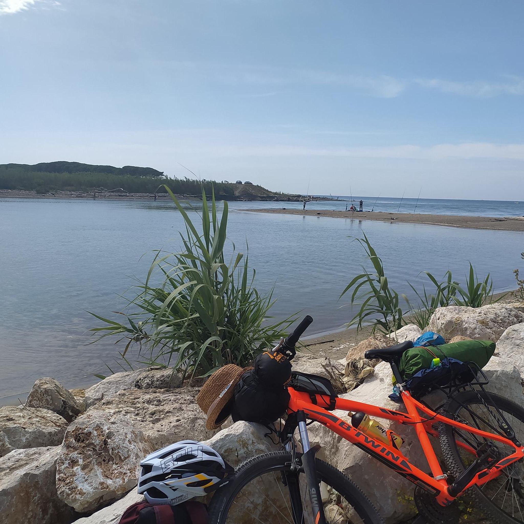
Easily reachable by cycling in the middle of nature........
0
0

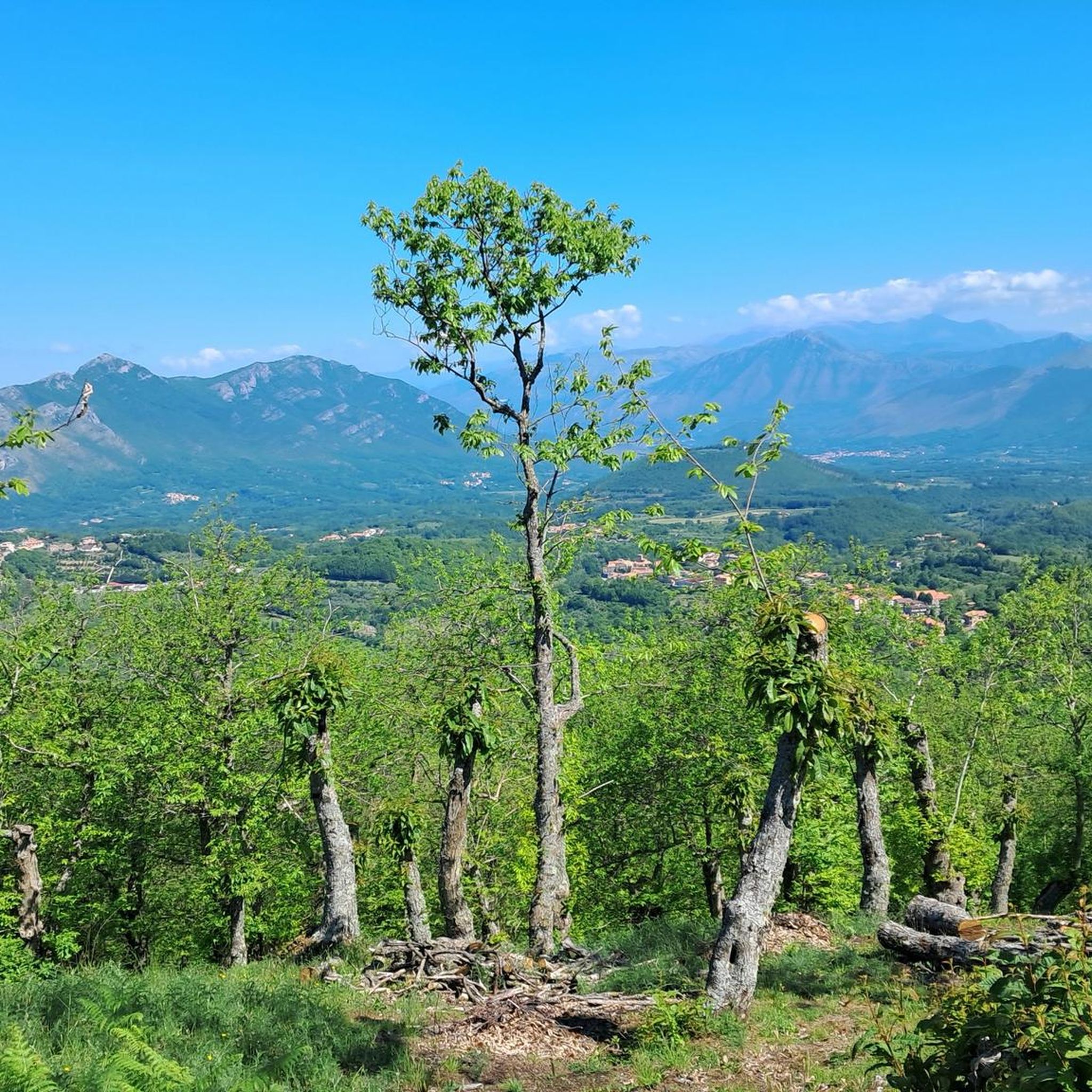
beautiful in this season for the flowering gorse
0
0

Natural water source in stone structure that includes the representation of some carved faces.
0
0
Frequently Asked Questions
How many hiking trails are available in Regional Park Roccamonfina - Foce Garigliano?
The Regional Park Roccamonfina - Foce Garigliano offers a wide selection of hiking routes, with nearly 60 trails available. These range from easy strolls to more challenging ascents, catering to various fitness levels.
Are there any easy hiking trails suitable for beginners or families?
Yes, the park features 20 easy hiking routes, perfect for beginners or families looking for a relaxed outdoor experience. These trails often wind through the lush chestnut forests or along picturesque river paths, providing gentle terrain and beautiful scenery.
What kind of natural features can I expect to see while hiking in the park?
Hikers in Regional Park Roccamonfina - Foce Garigliano can explore diverse natural features, including the ancient, extinct Roccamonfina volcano, which is now covered in dense chestnut, beech, and oak forests. You'll also find prominent peaks like Monte Santa Croce offering panoramic views, and river systems such as the Garigliano, Savone, and Peccia. The fertile volcanic soils support a rich botanical diversity, with vibrant spring blooms of wild orchids and other flowers.
Are there any circular hiking routes in Regional Park Roccamonfina - Foce Garigliano?
Yes, the park offers several circular routes. For example, the From Roccamonfina to the Conca della Campania Waterfall – ring tour is a moderate 15.5 km loop that takes you through volcanic landscapes and past waterfalls. Another option is the Suio and the Garigliano Dam – loop tour, a moderate 15.4 km route along the Garigliano river.
What are some notable landmarks or historical sites to explore along the trails?
The park is rich in historical and cultural points of interest. You can visit charming medieval villages like Roccamonfina, or explore sites such as the Sanctuary of Most Holy Mary of the Lattani, nestled among ancient chestnut groves. The 19th-century Real Ferdinando bridge near the Garigliano river mouth is also worth seeing. For a unique historical experience, the 'Devil's Feet' (Ciampate del Diavolo) near Tora e Piccilli feature fossilized human footprints dating back hundreds of thousands of years.
Can I find trails that lead to waterfalls in the park?
Yes, there are trails that feature waterfalls. A popular option is the From Roccamonfina to the Conca della Campania Waterfall – ring tour, which leads directly to the Conca della Campania Waterfall.
What do other hikers say about the trails in Regional Park Roccamonfina - Foce Garigliano?
The trails in Regional Park Roccamonfina - Foce Garigliano are highly regarded by the komoot community, with an average rating of 4.1 stars from over 110 reviews. Hikers often praise the diverse volcanic landscapes, the tranquility of the lush forests, and the variety of routes available for different skill levels.
Are there any challenging hikes for experienced trekkers?
Yes, for experienced trekkers, there are 5 difficult routes available. The Roccamonfina Loop Trail is a challenging 17.1 km path that explores the ancient Roccamonfina volcano, offering views of its crater and surrounding forests.
What kind of wildlife can be spotted in the park?
The park is a haven for diverse wildlife. You might spot wild boars, foxes, and various bird species like woodpeckers and owls. Notable species include the Apennine wolf and peregrine falcon. The park's rivers and wetlands are home to amphibians like the Apennine bellied newt and the endangered swamp tortoise, making it an excellent spot for nature observation.
Are there any trails that pass through traditional villages?
Yes, some trails offer the chance to pass through charming traditional villages. The Cescheto, San Carlo, and Sipicciano Trail, for instance, is a moderate 9.5 km route that leads through woodlands and past small villages, providing a glimpse into the region's cultural heritage.
What is the best time of year to go hiking in Regional Park Roccamonfina - Foce Garigliano?
The park is beautiful year-round, but spring and autumn are particularly recommended. In spring, the undergrowth bursts with vibrant blooms of crocuses, orchids, and anemones. Autumn offers stunning foliage as the chestnut, beech, and oak forests change color, and the temperatures are generally mild and pleasant for hiking.
Are there any viewpoints offering panoramic vistas?
Yes, the mountainous landscape of the park, particularly around peaks like Monte Santa Croce (1005 m) and Monte Làttani (810 m), offers numerous opportunities for breathtaking panoramic views. Many trails are designed to lead to these elevated points, providing expansive vistas of the volcanic terrain and the Tyrrhenian coast.
Most popular routes around Regional Park Roccamonfina - Foce Garigliano
Most popular attractions around Regional Park Roccamonfina - Foce Garigliano

Get inspired with the komoot mobile app


Explore more
Browse the best Hikes in other regions.
