The best walks and hikes around Regional Park Taburno - Camposauro
4.4
(242)
870
hikers
38
hikes
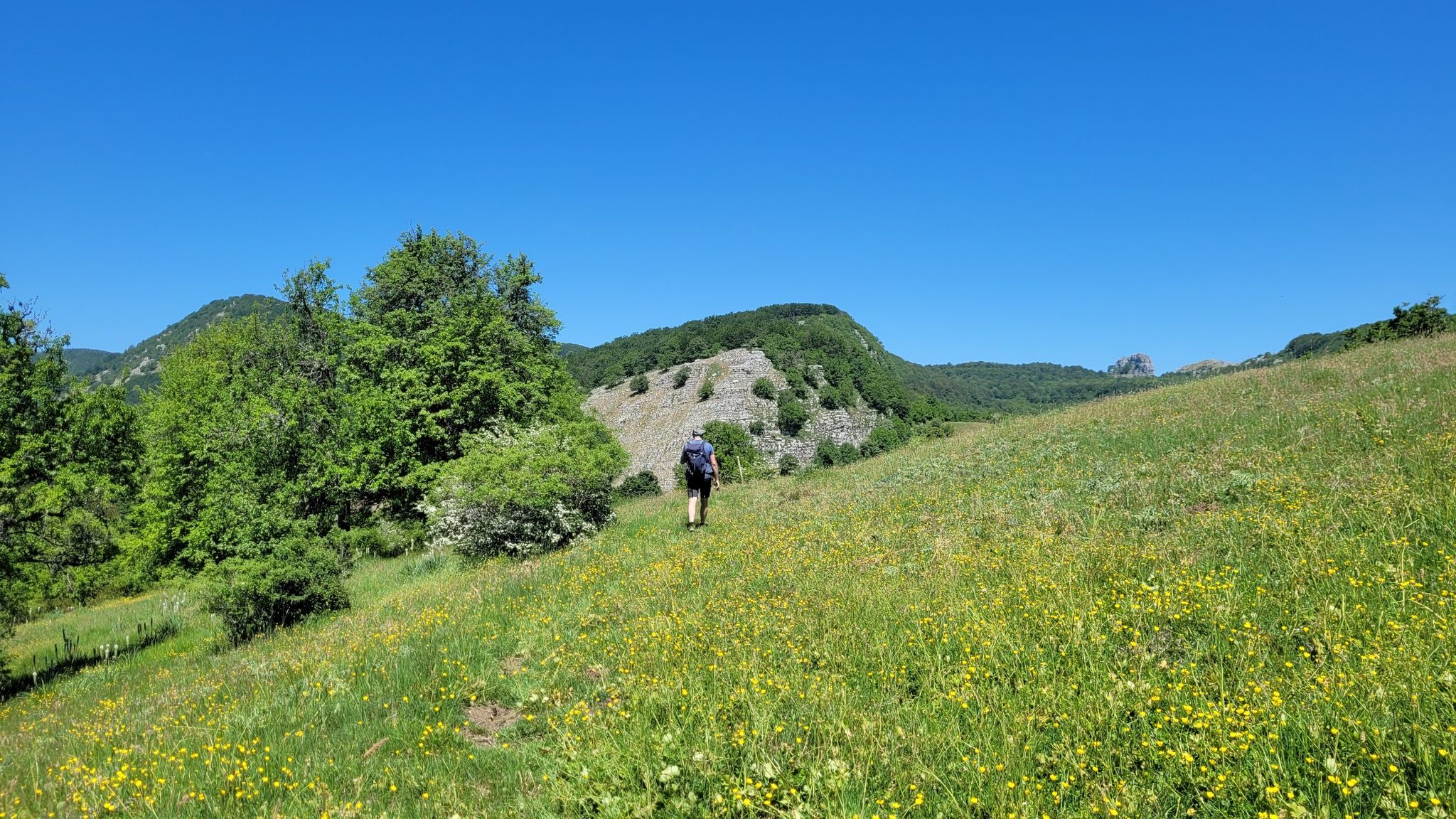
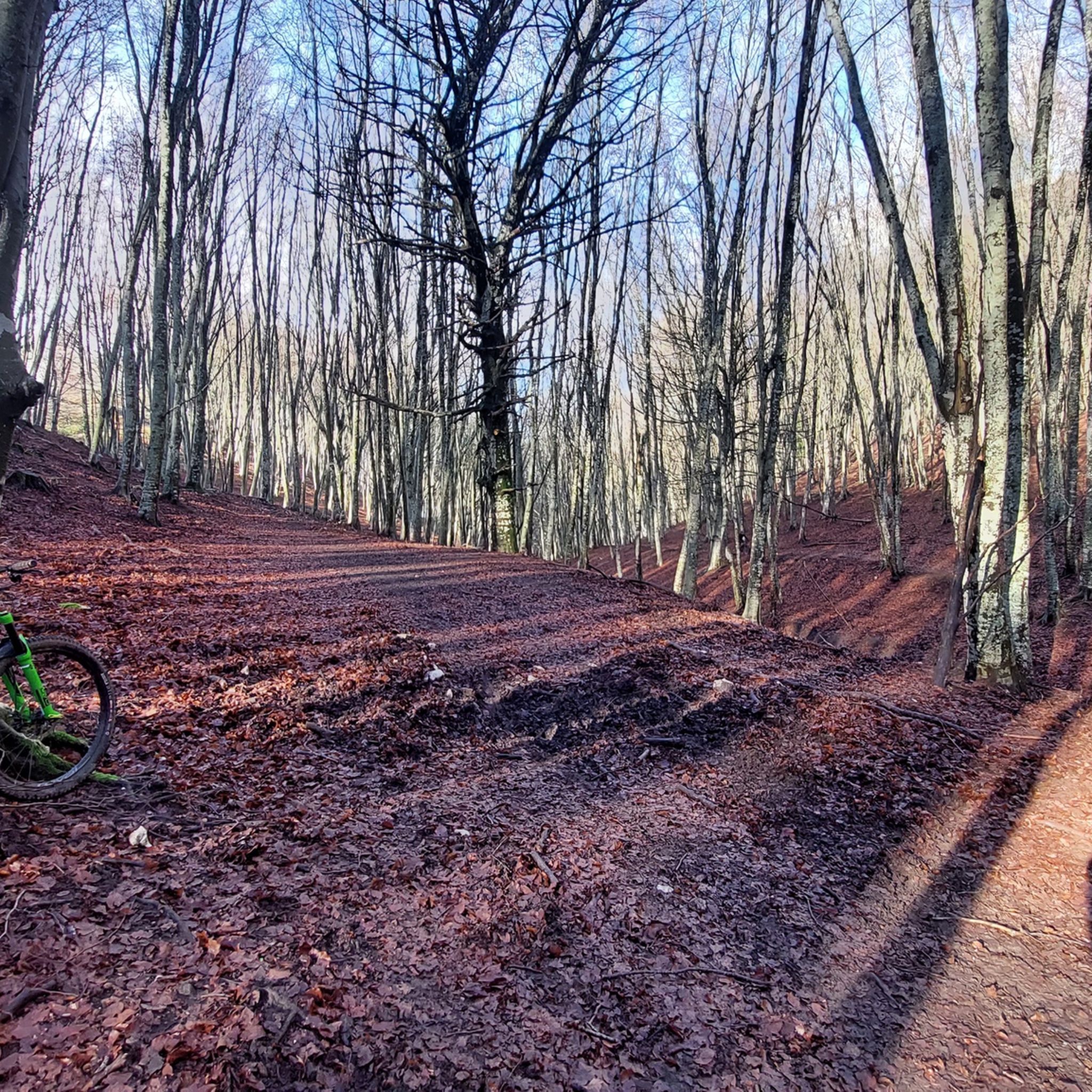
Hiking around Regional Park Taburno - Camposauro offers diverse landscapes within the province of Benevento, Italy. The park is characterized by its limestone massifs, including Monte Taburno and Camposauro, featuring significant elevation changes. Hikers can explore lush forests of beeches, chestnuts, and oaks, alongside lower elevations with cultivated fields of orchards, vineyards, and olive groves. Key natural features include karst depressions and gorges with waterfalls and natural pools.
Best hiking trails around Regional Park Taburno - Camposauro
- The most popular…
Last updated: August 17, 2026
4.4
(9)
31
hikers
17.2km
04:49
200m
500m
Moderate hike. Good fitness required. Easily-accessible paths. Suitable for all skill levels.
4.6
(21)
41
hikers
6.84km
01:57
170m
160m
Easy hike. Great for any fitness level. Easily-accessible paths. Suitable for all skill levels.

Sign up for free
3.2
(5)
29
hikers
10.5km
03:47
630m
620m
Moderate hike. Good fitness required. Easily-accessible paths. Suitable for all skill levels.
4.2
(9)
18
hikers
3.84km
01:16
170m
180m
Easy hike. Great for any fitness level. Easily-accessible paths. Suitable for all skill levels.
4.4
(22)
81
hikers
11.0km
03:38
390m
390m
Moderate hike. Good fitness required. Mostly accessible paths. Sure-footedness required.
Get access to more routes and recommendations from other explorers.
Sign up for free
Already have an account?
Our route recommendations are based on thousands of hikes, rides, and runs completed by other people on komoot.
Start today with a free account
Your next adventure awaits.
Login or Signup
Popular around Regional Park Taburno - Camposauro

Other adventures around Regional Park Taburno - Camposauro

Tips from the Community

very beautiful path, rich in vegetation and very suggestive
0
0

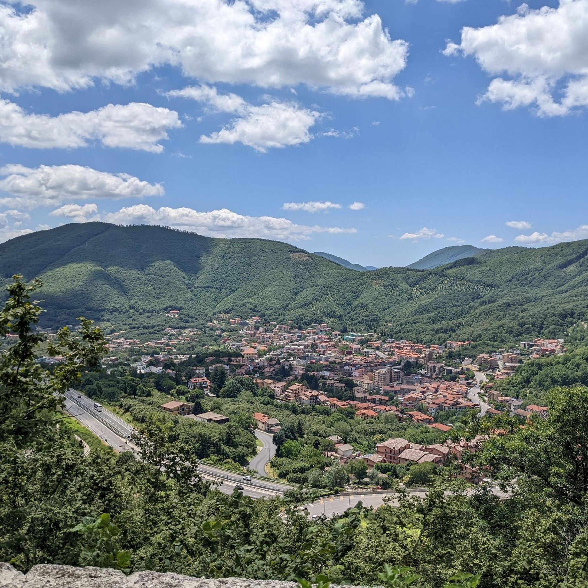
The park is located within the massif of Mount Taburno in the Campanian Apennines in the province of Benevento. The highest peak of the massif is precisely Mount Taburno with its 1394 m a.s.l.
1
0

The hermitage of San Menna (7th century) is located opposite the Ducal Castle. What we know about the hermitage comes from St. Gregory the Great, a hermit who followed a life of meditation and penance.
1
0
Mount Pentime offers a breathtaking view. It is located at 1168 meters high. There is a metal cross. Very impressive especially at dawn.
2
0
Pizzo del Tesoro is about 1176 meters high, and is located on the ridge that leads to Monte Pentime.
3
0
The cave, located in the rocks of Monte Taburno, was already used as a place of worship in the Middle Ages. Inside there is a fresco from 1601, making this cave not only interesting from a geological and historical point of view, but also from an artistic point of view.
3
0
This sanctuary is located at 544m, and was created in 1498, in honor of the apparition of a miraculous statue of the Madonna - today there are still the remains of a fresco of the Madonna.
2
0
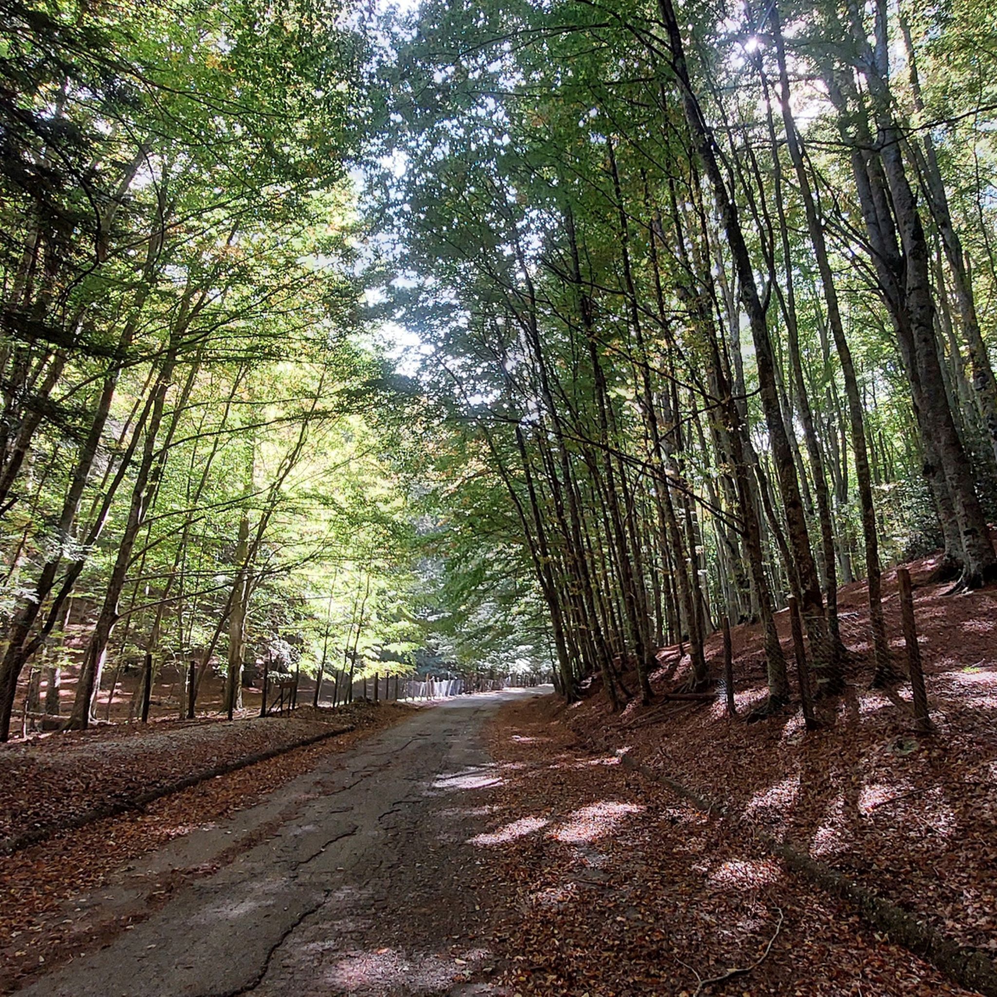
Here there are fir trees, even if the presence of beech is dominant and exclusive in the summits. The fir consists of 85% fir, while the remaining trees are always beech.
2
0
Frequently Asked Questions
What types of hiking trails can I find in Regional Park Taburno - Camposauro?
Regional Park Taburno - Camposauro offers a diverse range of hiking trails suitable for various fitness levels. You'll find everything from easy, family-friendly paths to more challenging treks. There are over 30 routes in total, with 7 easy, 20 moderate, and 3 difficult options to explore.
Are there any easy or family-friendly hiking routes in the park?
Yes, the park features several easy routes perfect for families or those seeking a relaxed walk. An excellent option is the Monte Taburno – loop tour, which is 6.8 km long and takes less than two hours to complete. Another accessible choice is the Bucciano – ring tour, a shorter 3.8 km path through forested areas.
What are the best times of year to go hiking in Regional Park Taburno - Camposauro?
The park is particularly enjoyable in spring and autumn. During these seasons, the climate is milder, and the landscapes burst with vibrant colors, from blooming wildflowers in spring to rich foliage in autumn. These periods offer the most tranquil and authentic Italian outdoor experience.
Are there any circular hiking routes available in the park?
Yes, many trails in Regional Park Taburno - Camposauro are designed as circular routes, allowing you to start and end at the same point. Examples include the easy Monte Taburno – loop tour and the moderate From Vitulano to Monte Pendime – ring tour, which offers expansive views.
What kind of natural features can I expect to see while hiking?
Hikers can explore diverse natural features, including lush forests of beeches, chestnuts, oaks, and firs. The park is also known for its unique karst depressions like Campo Cepino and Piano Melaino, which are stunning in late May with violets and wild orchids. Don't miss the beautiful Gorges of Caccaviola, featuring waterfalls and natural pools.
Are there any notable viewpoints or panoramic spots along the trails?
Absolutely. Many trails lead to breathtaking viewpoints. The Monte Pentime Summit Cross at 1168 meters offers expansive vistas, especially at dawn. You can also find stunning views of the valley from a 'balcony' along the route from Laiano to Campo Cepino.
What historical or cultural sites can I visit near the hiking trails?
Beyond its natural beauty, the park area is rich in history. You can explore ancient villages like Sant'Agata de' Goti, perched on a tuff hill, or Montesarchio with its medieval castle. The San Simeone Cave, a historical place of worship, contains a 1601 fresco.
What do other hikers say about the trails in Regional Park Taburno - Camposauro?
The routes in Regional Park Taburno - Camposauro are highly rated by the komoot community, with an average score of 4.4 stars from over 100 reviews. Hikers often praise the diverse landscapes, the tranquility of the forests, and the well-maintained paths that cater to various skill levels.
Are there any specific themed routes or cultural paths in the park?
Yes, the park features designated themed paths that combine hiking with local culture. The Wine Route, for instance, traverses olive groves and vineyards, connecting villages where you can sample local wines like Falanghina. There's also the 'Road of Bandits' (Via dei Briganti), starting from Laiano, a village with historical ties to post-unification brigandage.
Is it possible to stay overnight in the park?
Yes, for those looking to extend their adventure, it is possible to stay overnight. Hikers can choose to camp in tents or utilize the Camposauro refuge, offering a chance to enjoy the serene evening landscape and a starlit sky.
What kind of wildlife might I encounter in Regional Park Taburno - Camposauro?
The park boasts a rich variety of wildlife. Keep an eye out for wild boars, foxes, hares, and squirrels. Birdwatchers might spot blackbirds, various birds of prey like the nozzle and kestrel. The park is also home to hedgehogs, amphibians, and some rare reptiles.
Are there any trails that lead to water features like waterfalls or natural pools?
Yes, the Gorges of Caccaviola are a prime location for experiencing water features. These gorges offer beautiful scenery with waterfalls and natural pools, and the area is rich with wild vegetation. It's even possible to explore parts of them by canoe.
Most popular routes around Regional Park Taburno - Camposauro
Most popular attractions around Regional Park Taburno - Camposauro

Get inspired with the komoot mobile app


Explore more
Browse the best Hikes in other regions.
