The best mountain hikes around Parco Nazionale del Gran Sasso e Monti della Laga
4.9
(50)
470
hikers
13
hikes
Mountaineering around Parco Nazionale del Gran Sasso e Monti della Laga is characterized by the rugged Gran Sasso Massif, home to Corno Grande, the highest peak in the Apennines. The region features expansive alpine plains like Campo Imperatore and the contrasting Monti della Laga chain with its numerous waterfalls and dense forests. This diverse terrain offers significant elevation changes and challenging conditions for mountaineers.
Best mountaineering routes around Parco Nazionale del Gran Sasso e Monti della Laga
- The most popular mountaineering route is Campo Imperatore – Corno Grande loop from Campo Imperatore, a 6.6 miles (10.7 km) trail that takes 5 hours 20 minutes to complete. This route ascends towards the summit of Corno Grande, offering panoramic views of the surrounding massif.
- Another top favourite among local mountaineers is Ferrata Danesi – Corno Piccolo (2655 m) loop from Prati di Tivo, a difficult 7.4 miles (11.9 km) path. This route includes challenging via ferrata sections with views of Corno Piccolo.
- Local mountaineers also love the Pier Paolo Ventricini Trail – Corno Piccolo (2655 m) loop from Prati di Tivo, a 8.0 miles (12.8 km) trail leading through rugged alpine terrain towards Corno Piccolo, often completed in about 7 hours 30 minutes.
- Mountaineering around Parco Nazionale del Gran Sasso e Monti della Laga is defined by dramatic peaks, expansive high-altitude plateaus, and deep valleys. The network offers options for experienced mountaineers seeking challenging ascents and technical terrain.
- The routes in Parco Nazionale del Gran Sasso e Monti della Laga are highly rated by the komoot community with an average score of 4.9 stars from more than 60 reviews. More than 500 mountaineers have used komoot to explore Parco Nazionale del Gran Sasso e Monti della Laga's varied terrain.
Last updated: July 8, 2026
4.9
(32)
253
hikers
10.7km
05:22
770m
770m
Hard mountaineering route. Very good fitness required. Sure-footedness, sturdy shoes and alpine experience required.
5.0
(3)
76
hikers
10.7km
06:29
880m
880m
Hard mountaineering route. Very good fitness required. Sure-footedness, sturdy shoes and alpine experience required.

Sign up for free
4.6
(7)
44
hikers
12.8km
07:34
1,230m
1,230m
Hard mountaineering route. Very good fitness required. Sure-footedness, sturdy shoes and alpine experience required.
5.0
(1)
13
hikers
Moderate mountaineering route. Great for any fitness level. Mostly accessible paths. Sure-footedness required.
5.0
(1)
15
hikers
Hard mountaineering route. Very good fitness required. Sure-footedness, sturdy shoes and alpine experience required.
Get access to more routes and recommendations from other explorers.
Sign up for free
Already have an account?
Our route recommendations are based on thousands of hikes, rides, and runs completed by other people on komoot.
Start today with a free account
Your next adventure awaits.
Login or Signup
Popular around Parco Nazionale del Gran Sasso e Monti della Laga
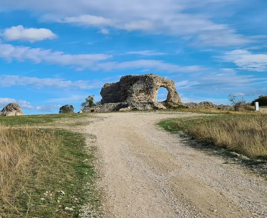
Tratturo Magno – On the roads of transhumance
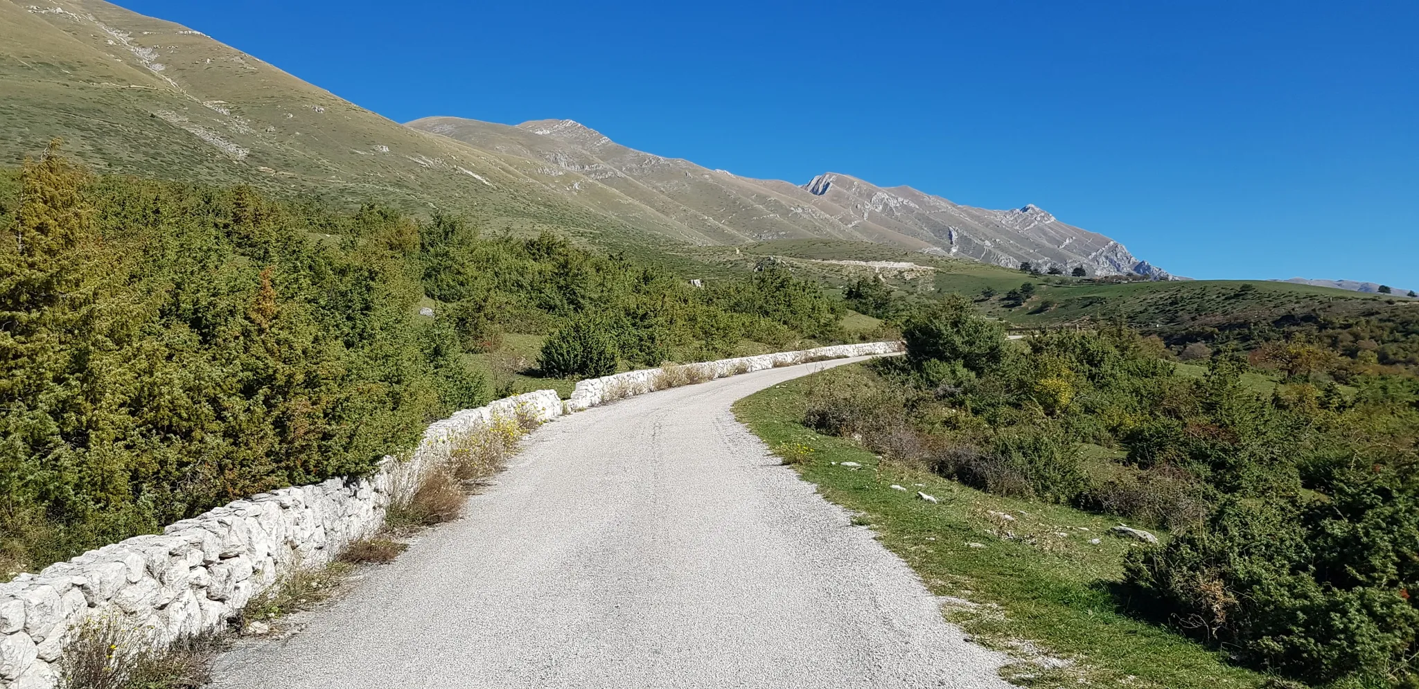
The Apennine Cycleway (Part 2) - From Umbria to Calabria

Interiora - A Journey into the Remote Areas of Italy
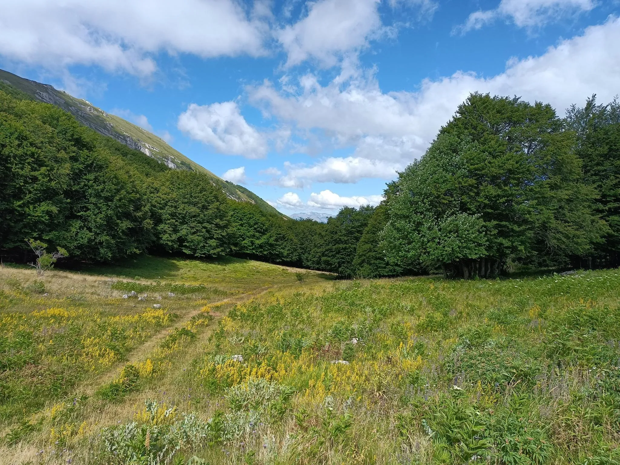
Natural Park Walk – part 4 from Accumoli to L'Aquila
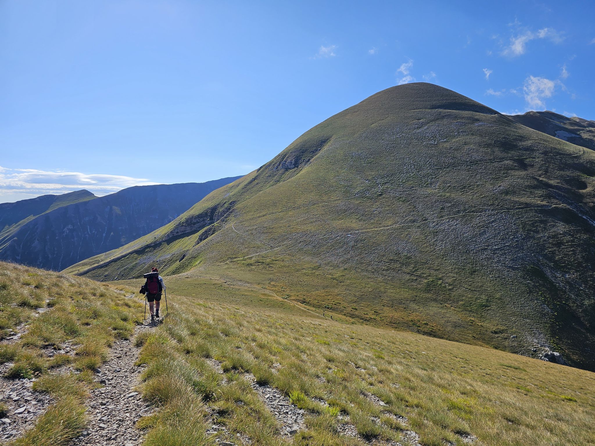
The Sibillini Mountains to Gran Sasso – the Great Apennine Crossing
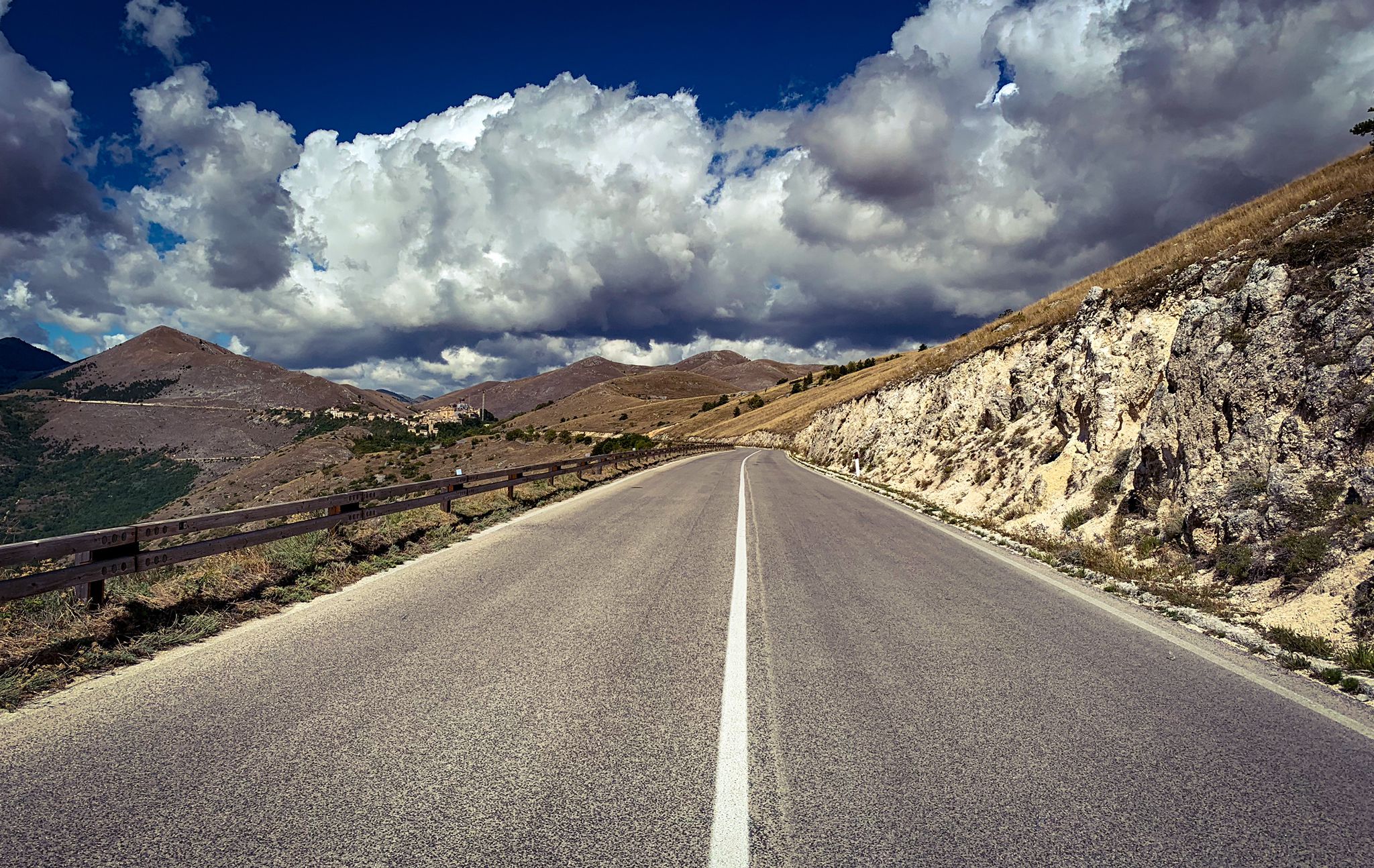
The Apennines to the Adriatic – cycling to discover Abruzzo
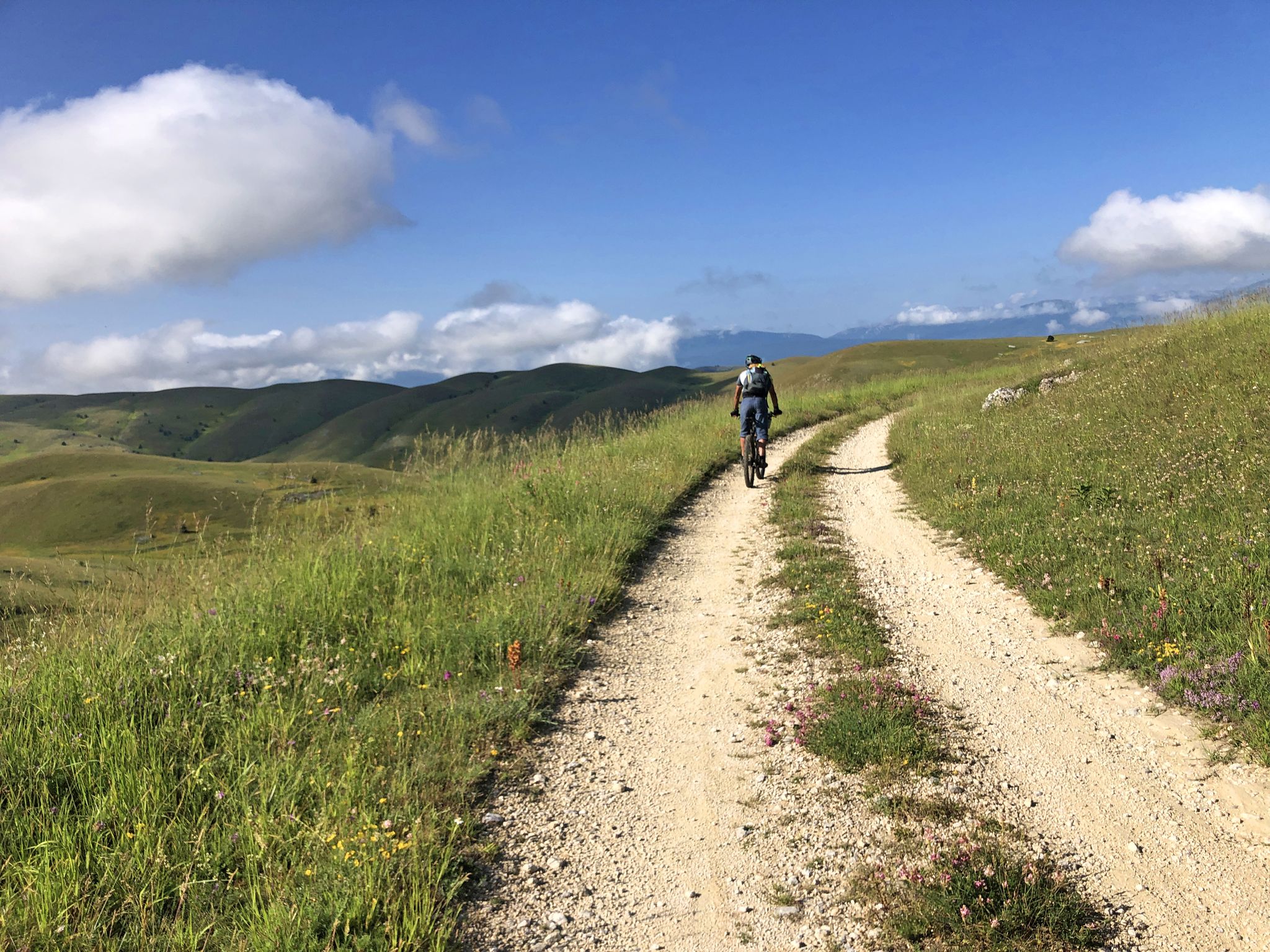
The Adriatic Sea to Gran Sasso – MAGS Abruzzo Trail 2023
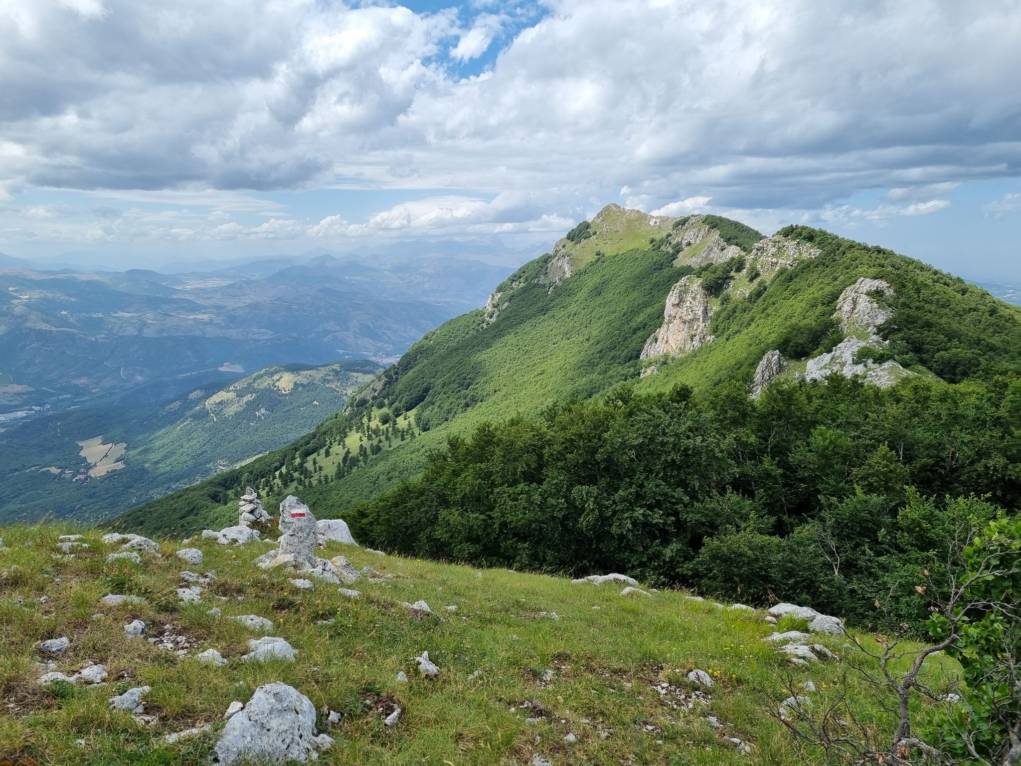
Through the green lungs of Abruzzo – Sentiero Italia
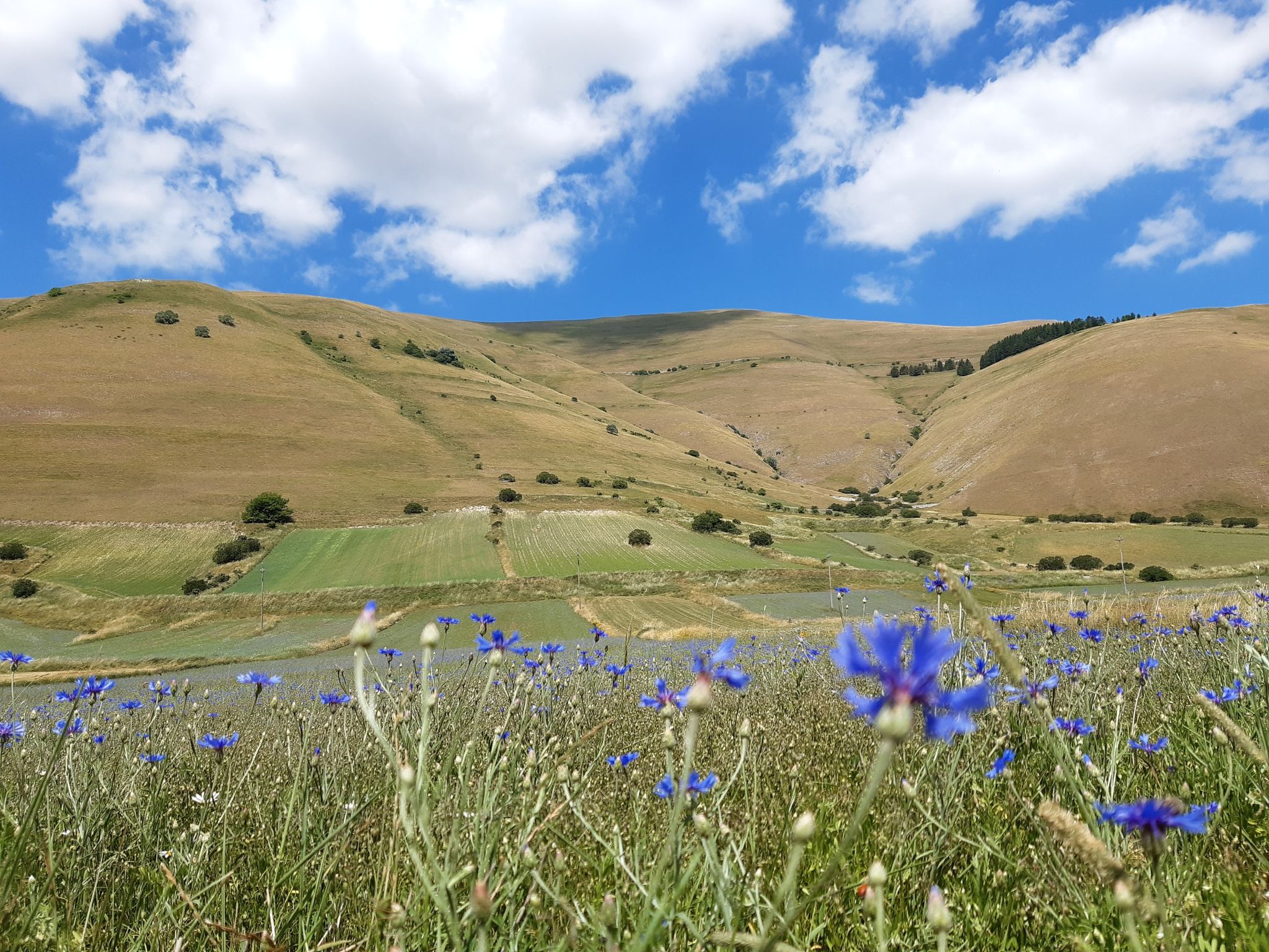
A journey through changed lands – Cammino nelle Terre Mutate
Bikepacking the Wolf's Lair – through Abruzzo in southern Italy
Other adventures around Parco Nazionale del Gran Sasso e Monti della Laga


Tips from the Community

Minor peak of Gran Sasso but with an equally valid panorama
0
0

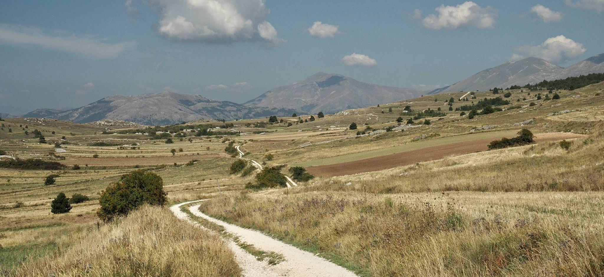
Campo Imperatore is an absolute must-see due to its otherworldly, vast mountain landscape, also known as 'Little Tibet' (Piccolo Tibet). It is one of the largest and highest plateaus in Europe (located at approx. 1,800 to 2,100 meters).
3
0
The endpoint by car is the large mountain square Piazzale di Campo Imperatore (2,130 meters). The breathtaking mountain road SS17bis leads you from the valley right up to the doors of the Hotel Campo Imperatore and the Astronomical Observatory. Why shouldn't you miss Campo Imperatore? Because here you are right in the middle of the high mountains without a strenuous climb. At an altitude of 2,130 meters, you are surrounded by impressive mountain peaks and begin one of the most beautiful hiking areas in the Apennines. The car journey there is an experience in itself: a winding road through the spectacular landscape of 'Little Tibet', where you often encounter horses, cows, and large flocks of sheep along the way. At the top, you will also find a unique mix of nature, history, and culture, with the historic hotel where Mussolini was imprisoned, the highest church in Italy, the astronomical observatory, and cozy food trucks where you can enjoy local specialties such as fresh pecorino and generously filled sandwiches.
5
0
The Funivia del Gran Sasso d'Italia (the cable car to Campo Imperatore) was originally opened in 1934 and was recently reopened on June 15, 2026, after a period of significant maintenance. The cable car connects the valley station in Fonte Cerreto (Assergi, at 1,117 meters) with the Campo Imperatore plateau (at 2,130 meters). The cable car to Campo Imperatore has a rich history. The first installation was built in 1934 during the reign of Benito Mussolini and was considered a technical masterpiece and one of the longest cable cars in the world at the time. It also played a role in the spectacular liberation of Mussolini during World War II. The original cabins remained in use until 1985. After a complete modernization, the current cable car was put into operation in 1988. With two cabins for 100 passengers each, it covers a distance of over 3 kilometers and an altitude difference of 1,013 meters in just seven minutes. Following extensive safety works, including the replacement of the support cables, the cable car has been fully operational again since June 2026. Opening hours: During the summer season (until the end of August 2026), the cable car to Campo Imperatore is open daily from 07:30 to 19:30. The cabins depart every 30 minutes. Please note that in case of strong winds or other extreme weather conditions, the cable car may be temporarily taken out of service to ensure the safety of travelers.
4
0
Campo Imperatore is one of Italy's most impressive natural areas. This vast, treeless high plain at an altitude of approximately 2,000 meters is not called 'Little Tibet' for nothing. Surrounded by the rugged peaks of the Gran Sasso massif, it offers a spectacular setting for hikers of all levels. From relaxed walks across the rolling plateau between grazing sheep and horses to challenging climbs of Monte Aquila, the Rifugio Duca degli Abruzzi, or even Corno Grande (2,912 m), the highest peak in the Apennines. Thanks to accessibility by car or cable car, you can start your hike right in the middle of the high mountains, with breathtaking panoramas along the way and a landscape that has served as a backdrop for countless films.
5
0
The Chiesa della Madonna della Neve on Campo Imperatore is the highest consecrated church in Italy. The small stone church is located at an impressive altitude of 2,130 meters in the Gran Sasso massif, right next to the historic hotel. A special story: the praying Pope Although the church originates from the fascist regime, the best-known anecdote is connected to a man of peace: Pope John Paul II. The Polish Pope was an avid hiker and ski enthusiast. To escape the hustle and bustle of the Vatican, he regularly went incognito to the Abruzzo mountains, where he could walk, pray, and enjoy nature in peace. On June 20, 1993, he paid a discreet visit to Campo Imperatore. During that visit, he officially consecrated the Chiesa della Madonna della Neve. For the inhabitants of the region, this was a special moment, as they knew how strongly John Paul II felt connected to these mountains.
3
0
OPENING HOURS, always useful to know before you go up! Rifugio Duca degli Abruzzi is open daily for the summer season. The opening hours and seasons are arranged as follows: summer season (continuously open) Period: From June 15 to the end of September, the mountain hut is open non-stop every day. Daytime (kitchen/bar): You can usually go there from approx. 08:30 to 17:00 for drinks, snacks, and lunch. Overnight stay: If you have booked an overnight stay in advance, you can join for dinner in the evening. Autumn, Winter & Spring (limited opening) Period: from October to May. Days: The hut is then in principle only open on weekends (Friday evening to Sunday afternoon), provided the weather and snow conditions allow it safely. Closure: the hut often closes completely in the month of November due to the start of the heavy winter snowfall. Important to know: because the mountain hut is located at an altitude of almost 2400 meters, the opening hours are always dependent on the weather. In case of heavy storms, dense fog, or sudden snowfall, the hut may remain unexpectedly closed. Do you want to be sure whether the manager is present or do you want to book a place to sleep? Check the current status via the official CAI Booking Platform or contact the managers directly via +39 388 186 7703.
4
0
Rifugio Duca degli Abruzzi is located at an altitude of 2,388 meters on Monte Portella and is one of the most beautiful viewpoints in the Gran Sasso massif. The mountain hut, built in 1908 by the Italian Alpine Club (CAI), is named after the famous explorer and mountaineer Luigi Amedeo of Savoy. From the terrace, you can enjoy a spectacular 360° panorama over the Campo Imperatore plateau, the imposing Corno Grande – the highest peak in the Apennines at 2,912 meters – and the rugged Val Maone. The relatively short hike to the hut immediately offers a real high-mountain feeling and is an ideal stopover for lunch or an espresso, but also serves as a starting point for more challenging climbs. Historical fact: just below the mountain hut lies the Hotel Campo Imperatore, where Benito Mussolini was held captive in 1943. From this area, he looked out over the endless peaks of the Apennines until he was freed by a glider during the spectacular German rescue operation, Operation Oak. This combination of impressive nature, mountaineering history, and a remarkable chapter from World War II makes a visit to Rifugio Duca degli Abruzzi extra memorable.
4
0
Frequently Asked Questions
How many mountaineering routes are available in Parco Nazionale del Gran Sasso e Monti della Laga?
The region offers a significant number of mountaineering routes. Our guide features 16 challenging routes, all rated as difficult, providing ample opportunities for experienced mountaineers to explore the dramatic landscapes of the Gran Sasso Massif and Monti della Laga chain.
What kind of natural features or landmarks can I expect to see along these routes?
Mountaineering in Parco Nazionale del Gran Sasso e Monti della Laga offers breathtaking natural features. You'll traverse the expansive Campo Imperatore Plateau, often called 'Little Tibet', and encounter rugged mountain passes like Capo la Serra Pass. The Monti della Laga chain, in contrast, is rich in water sources, featuring numerous waterfalls such as Morricana Waterfall and the Valley of the Hundred Waterfalls.
Are there any circular mountaineering routes in the Gran Sasso area?
Yes, several routes are designed as loops, allowing you to start and finish at the same point. For instance, the Campo Imperatore – Corno Grande loop from Campo Imperatore is a popular choice, taking you to the summit of Corno Grande. Another option is the Ferrata Danesi – Corno Piccolo (2655 m) loop from Prati di Tivo, which includes challenging via ferrata sections.
What is the best time of year for mountaineering in Parco Nazionale del Gran Sasso e Monti della Laga?
The best time for mountaineering typically spans from late spring to early autumn (May to October). During these months, the weather is generally more stable, and trails are free of snow at lower to mid-altitudes. However, higher elevations, especially around Corno Grande, can retain snow well into summer. Winter offers opportunities for ski mountaineering, but requires specialized equipment and experience due to challenging conditions.
Can I bring my dog on the mountaineering trails in the National Park?
While the National Park generally welcomes dogs, specific regulations may apply to protected areas, especially concerning wildlife. It's always best to check the official park guidelines for any restrictions on trails or leash requirements before heading out with your dog. Generally, dogs should be kept on a leash to protect local fauna.
Are there any family-friendly options for those new to mountaineering in the park?
The mountaineering routes highlighted in this guide are all rated as difficult, involving significant elevation gain and rugged terrain, making them more suitable for experienced mountaineers. For families or beginners seeking less strenuous activities, the park offers numerous hiking and trekking trails, particularly on the expansive Campo Imperatore plateau, which provide stunning views without the technical demands of mountaineering.
Where can I find parking near the trailheads for these mountaineering routes?
Parking is typically available at key access points to the park's mountaineering routes. For routes starting from Campo Imperatore, there is parking near the cable car station. Similarly, for routes around Corno Piccolo, parking can be found at Prati di Tivo. It's advisable to arrive early, especially during peak season, as spaces can fill up quickly.
What do other mountaineers appreciate most about the routes here?
The mountaineering routes in Parco Nazionale del Gran Sasso e Monti della Laga are highly rated by the komoot community, with an average score of 4.9 stars. Reviewers frequently praise the dramatic, rugged alpine terrain, the challenging ascents to peaks like Corno Grande, and the unparalleled panoramic views of the Apennines. The sense of wilderness and adventure is a recurring highlight.
Are there opportunities for rock climbing or via ferrata in the park?
Yes, Parco Nazionale del Gran Sasso e Monti della Laga is renowned for its rock climbing and via ferrata opportunities. Areas like Corno Piccolo are prime locations for rock climbing, accessible via chairlift from Prati di Tivo. Several routes, such as the Ferrata Danesi – Corno Piccolo (2655 m) loop, incorporate challenging via ferrata sections, offering a thrilling experience for those with appropriate skills and equipment.
What are the main differences between the Gran Sasso Massif and the Monti della Laga chain for mountaineering?
The Gran Sasso Massif, home to Corno Grande, is characterized by its rugged, rocky, and high-alpine terrain, offering significant elevation changes and technical ascents. It's ideal for classic mountaineering and rock climbing. In contrast, the Monti della Laga chain is known for its rich water sources, dense forests, and numerous waterfalls, providing a different kind of challenge with more varied vegetation and less exposed, though still demanding, trails.
Are there any cafes or places to eat near the mountaineering trailheads?
Yes, you can find facilities near major access points. For example, at Campo Imperatore, there are establishments that offer refreshments and meals, especially near the cable car station. Similarly, Prati di Tivo, another common starting point, has options for food and drink. It's always a good idea to check opening times, especially outside of peak season.
How accessible are the mountaineering routes by public transport?
Access to the more remote mountaineering trailheads in Parco Nazionale del Gran Sasso e Monti della Laga can be challenging by public transport alone. While some villages and towns around the park are served by buses, reaching specific high-altitude starting points like Campo Imperatore or Prati di Tivo often requires a combination of public transport and local shuttle services, or personal vehicle. Planning ahead and checking local transport schedules is highly recommended.
Are there any permits required for climbing the highest peaks like Corno Grande?
Generally, specific permits are not required for standard mountaineering ascents of peaks like Corno Grande within the Parco Nazionale del Gran Sasso e Monti della Laga. However, it's always prudent to check the official park website for any updated regulations, especially for guided activities, large groups, or specific technical routes. Respecting park rules and environmental guidelines is essential.
Most popular routes around Parco Nazionale del Gran Sasso e Monti della Laga
Most popular attractions around Parco Nazionale del Gran Sasso e Monti della Laga

Get inspired with the komoot mobile app


Explore more
Browse the best Mountain Hikes & Routes in other regions.
