The best walks and hikes around Pollino National Park
4.4
(1291)
5,284
hikers
186
hikes
Hiking around Pollino National Park, one of Italy's largest protected areas, offers diverse terrain for outdoor enthusiasts. The region is characterized by majestic peaks, ancient Loricato pine forests, and deep river gorges. Hikers can explore varied landscapes including high-altitude plateaus, limestone formations, and dense woodlands, providing a range of experiences from gentle walks to challenging mountain ascents.
Best hiking trails in Pollino National Park
- The most popular hiking route is From Colle dell’Impiso to Monte Pollino – Pollino National Park…
Last updated: September 26, 2026
4.6
(61)
229
hikers
12.5km
05:29
810m
810m
Embark on a difficult hike from Colle dell’Impiso to Monte Pollino, a rewarding journey through Pollino National Park. This route, spanning 7.8 miles (12.5 km) with a significant 2651 feet…
4.8
(52)
137
hikers
8.40km
03:55
660m
660m
Embark on the Serra del Prete Loop from Colle dell'Impiso, a moderate hiking route that takes you through the wild and authentic landscapes of Pollino National Park. This 5.2-mile (8.4…

4.7
(30)
122
hikers
Embark on an easy hike from Orsomarso to the captivating Ficara Waterfall, a journey through the Argentino River Valley Nature Reserve. This route spans 4.1 miles (6.7 km) with a…
4.7
(21)
105
hikers
Embark on a challenging ring tour from Colle dell'Impiso to Serra Dolcedorme, a difficult hike spanning 10.5 miles (16.8 km) with an elevation gain of 2780 feet (847 metres). This…
3.4
(10)
23
hikers
11.6km
04:19
500m
500m
Embark on the Serra di Crispo - Garden of the Gods Loop, a challenging hike through Italy's vast Pollino National Park. This route spans 7.2 miles (11.6 km) and climbs…
Get access to more routes and recommendations from other explorers.
Already have an account?
Our route recommendations are based on thousands of hikes, rides, and runs completed by other people on komoot.
Start today with a free account
Your next adventure awaits.
Popular around Pollino National Park
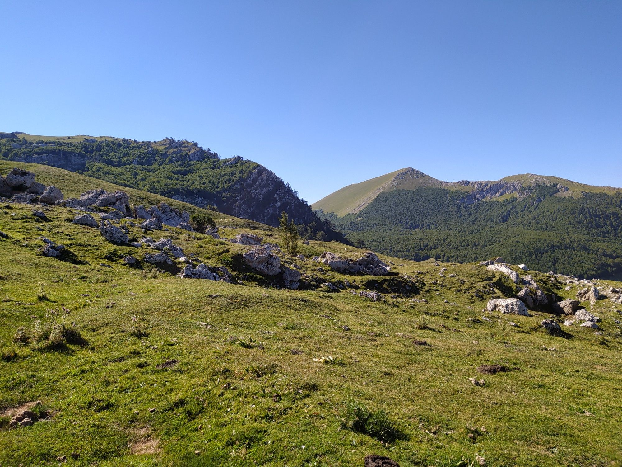
Among the ancient villages and lush forests – Sentiero Italia

Along the backbone of Calabria – Sentiero Italia
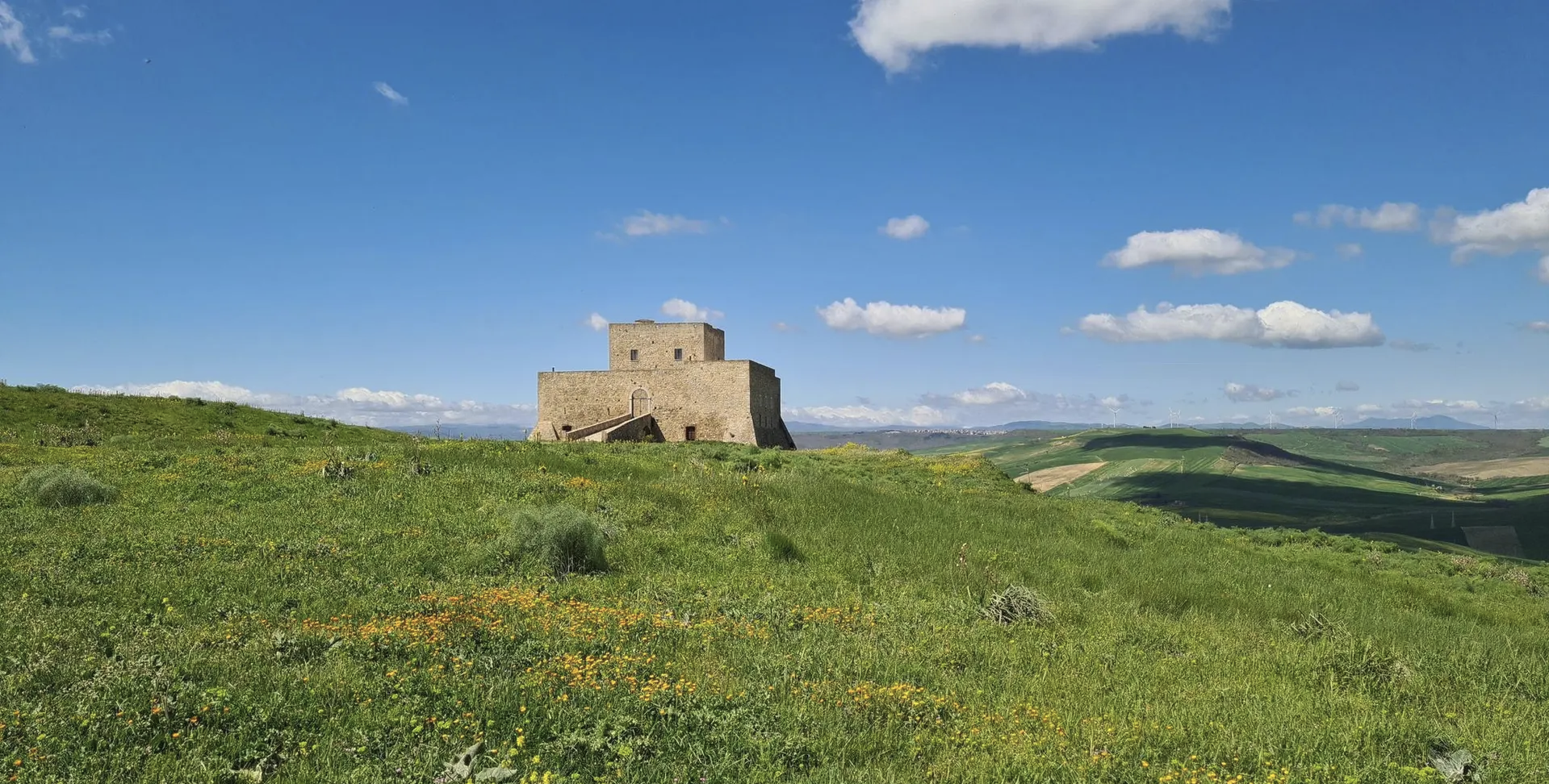
Basilicata by bike – discover itineraries in this unique land
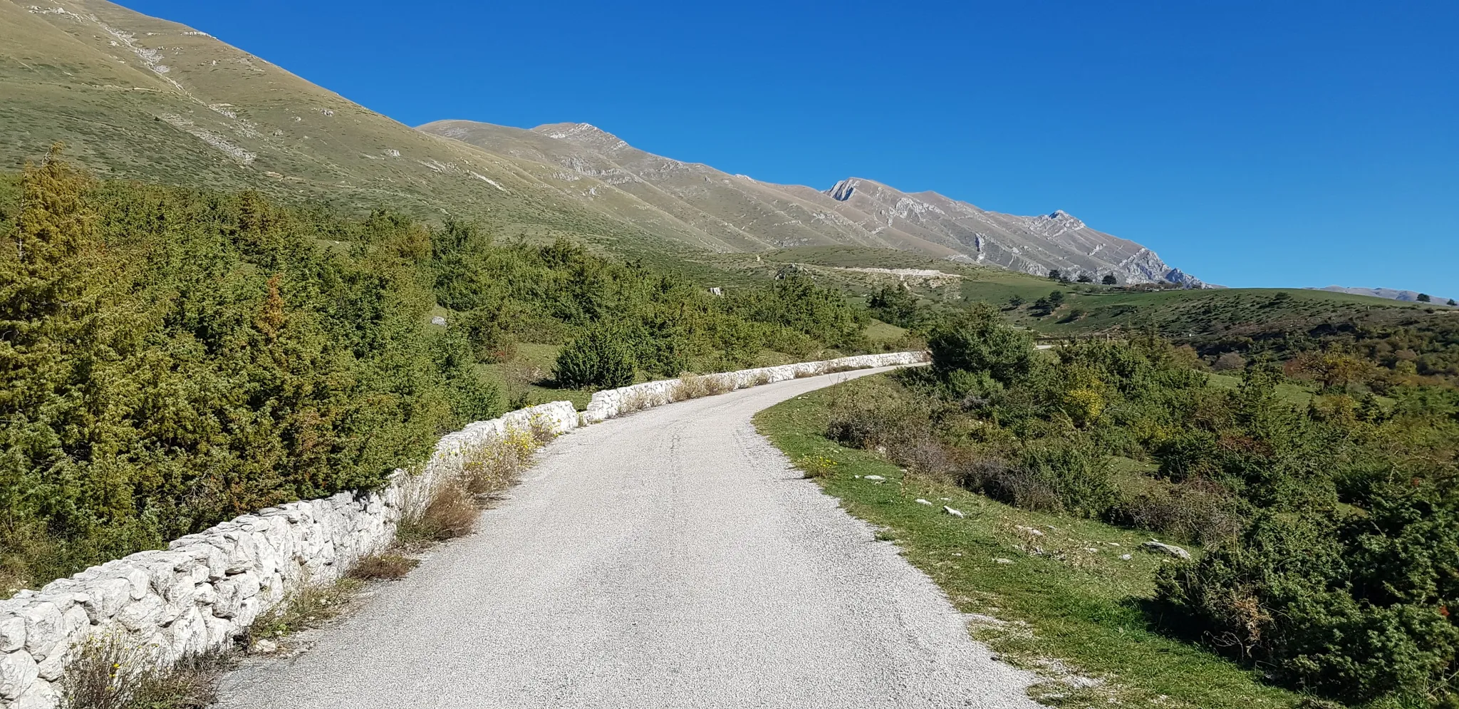
The Apennine Cycleway (Part 2) - From Umbria to Calabria
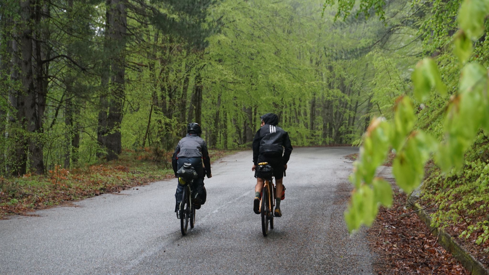
The unexpected mountain – Ciclovia Parchi Calabria

Between unspoilt nature and millenary history — Italy’s Basilicata by bike
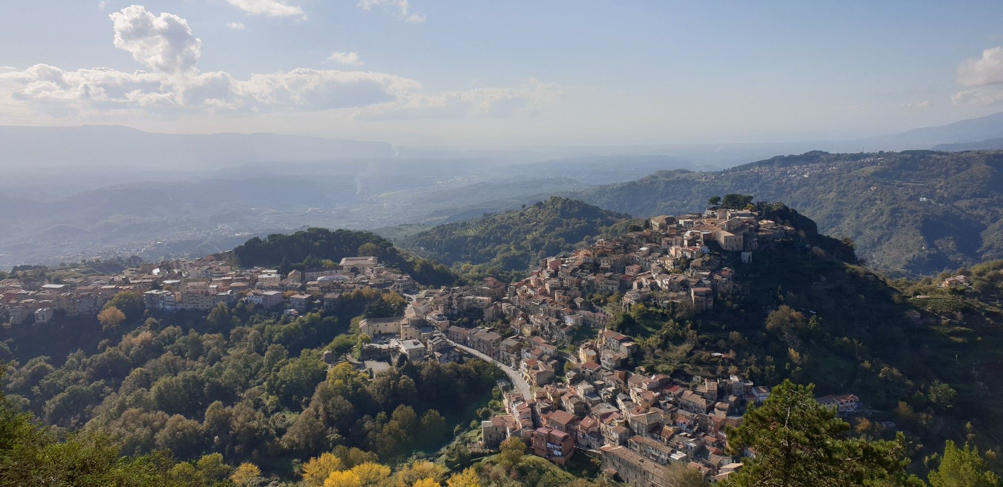
Explore art and culture in Italy – cycling Tours in Calabria's National Parks
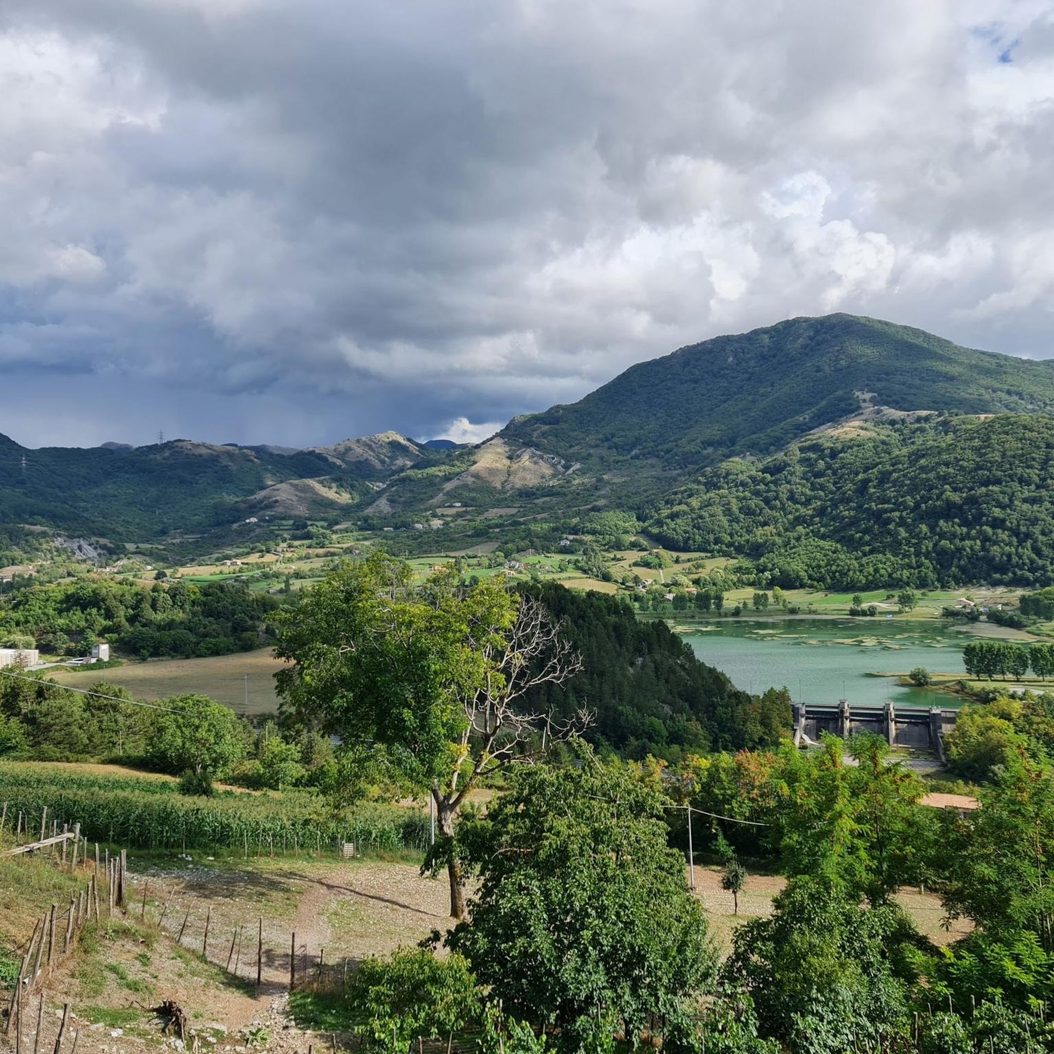
Running Trails around Pollino National Park
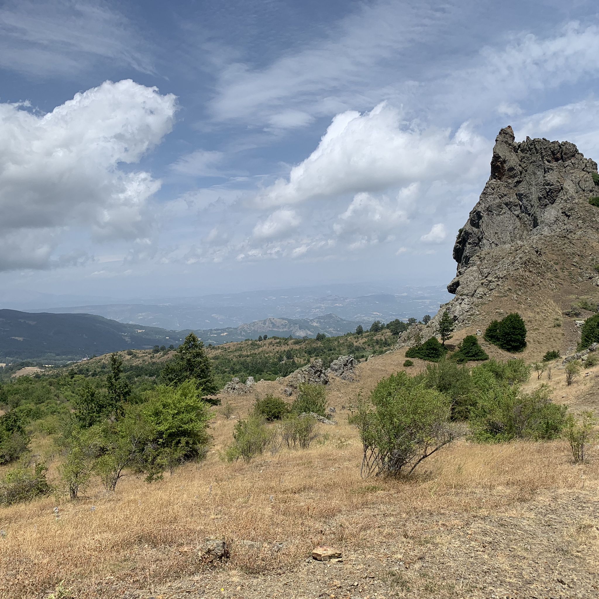
MTB Trails around Pollino National Park
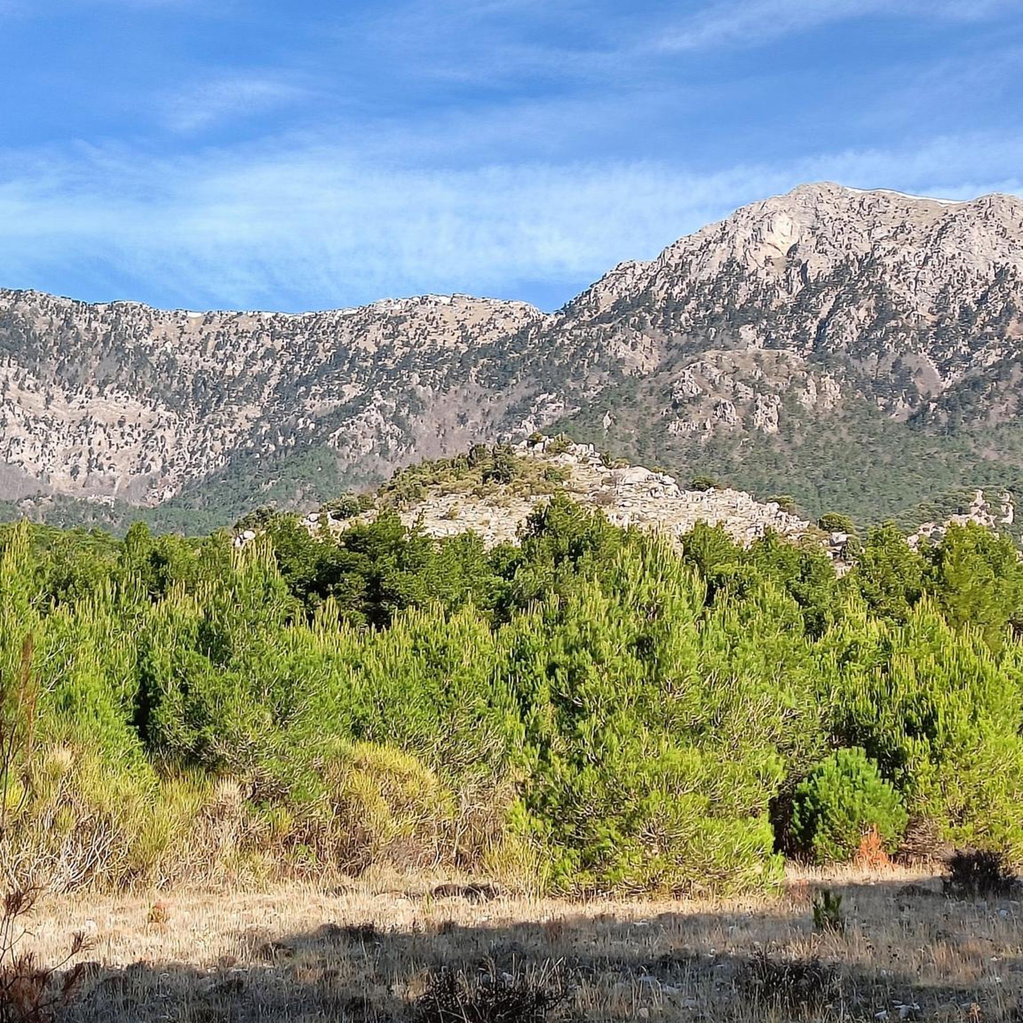
Cycling around Pollino National Park
Other adventures around Pollino National Park


Tips from the Community

beautiful waterfall near the Argentino river with cold, pristine waters
0
0

Not recommended this month of May as there is snow that hinders the ascent and descent.
1
0

The refuge is located a few steps from the Madonna del Pollino sanctuary. Behind the refuge is a panoramic balcony overlooking the valley below.
0
0


descent from the north ridge, not exposed or dangerous but not marked except at the end of the beech forest
0
0

It can be reached from the Pino Loricato refuge in Madonna del Pollino, an easy and wonderful route
1
1

Amazing view, one of my favourite views in Pollino National Park. Not a short path to reach the top, and fitness level has to be good
1
0

Shortest route to reach the most beautiful place in the Pollino massif. Here it is possible to admire up close the splendid Loricati Pines, fantastic specimens inherited from the nearby Balkans and endemic to the Italian territory.
3
0
Frequently Asked Questions
What types of hiking trails can I find in Pollino National Park?
Pollino National Park offers a wide variety of trails, catering to all experience levels. You'll find everything from easy, regenerating walks suitable for families to challenging treks for experienced hikers. The park features majestic peaks, ancient Loricato pine forests, deep river gorges, and high-altitude plateaus. In total, there are over 170 hiking routes available on komoot, with 32 easy, 97 moderate, and 46 difficult options.
Are there any family-friendly hiking routes in Pollino National Park?
Yes, Pollino National Park has several family-friendly options. Many trails are suitable for regenerating walks, allowing families to immerse themselves in nature. While specific family-friendly routes aren't detailed here, you can find 32 easy routes on komoot that are generally well-suited for families.
Can I bring my dog on the hiking trails in Pollino National Park?
Pollino National Park is generally dog-friendly, but it's always recommended to keep your dog on a leash, especially in areas with wildlife or near grazing animals. Always check specific trail regulations before you go, as some protected areas might have restrictions.
What are some notable natural features or landmarks to look out for while hiking?
The park is rich in natural wonders. You can encounter the ancient Loricato Pine, often called a 'living fossil,' thriving in high-altitude environments. Majestic peaks like Monte Pollino and Serra Dolcedorme offer breathtaking views. Don't miss the dramatic gorges carved by rivers like the Raganello, or expansive plateaus such as Piano Ruggio. You can also explore highlights like the Raganello Gorge and Devil's Bridge or the Monte Pollino Summit.
Are there any circular hiking routes in Pollino National Park?
Yes, the park offers several circular routes. For example, the Serra del Prete Loop from Colle dell'Impiso is a moderate 5.2-mile (8.4 km) path offering panoramic views. Another challenging option is the Serra di Crispo - Garden of the Gods Loop, which is 7.2 miles (11.6 km) long.
What is the best time of year to go hiking in Pollino National Park?
The best time for hiking in Pollino National Park is generally from spring to autumn. During these seasons, the weather is milder, and the trails are more accessible. Spring brings blooming wildflowers, while autumn offers vibrant foliage. Summer is also popular, but higher altitudes can still be cool. Winter hiking is possible but requires appropriate gear and experience due to snow and colder conditions.
What do other hikers enjoy most about hiking in Pollino National Park?
The area is highly rated by the komoot community, with an average score of 4.4 stars from over 980 reviews. Hikers often praise the park's diverse landscapes, from majestic peaks to ancient forests, and the immersive nature experience. The variety of trails, catering to different difficulty levels, is also frequently highlighted.
Are there any waterfalls in Pollino National Park?
Yes, the park features beautiful waterways and waterfalls. A notable route is From Orsomarso to Ficara Waterfall – Argentino River Valley Nature Reserve, a 4.1-mile (6.7 km) trail that leads directly to the Ficara Waterfall, offering a refreshing natural experience.
What are the highest peaks in Pollino National Park?
Pollino National Park is home to some of Southern Italy's highest peaks. These include Serra Dolcedorme (2267m), Monte Pollino (2248m), Serra del Prete (2181m), Serra del Ciavole (2127m), and Serra di Crispo (2053m). Many trails lead to these summits, offering challenging ascents and incredible panoramic views.
Is there parking available at the trailheads in Pollino National Park?
While specific parking information for every trailhead isn't detailed here, many popular starting points for hikes, such as Colle dell'Impiso, typically offer designated parking areas. It's advisable to check the route details on komoot or local park information for specific parking availability before your trip.
Are there opportunities for other outdoor activities besides hiking in Pollino National Park?
Absolutely! Beyond hiking, Pollino National Park offers a range of outdoor activities. You can enjoy river tubing, water trekking, canyoning in the deep gorges, and mountain biking. There's also an adventure park in Taverna Magnano and the world's longest Tibetan bridge nearby in Castelsaraceno for those seeking more thrills.
What kind of wildlife can I expect to see in Pollino National Park?
Pollino National Park is a sanctuary for diverse wildlife. Keep an eye out for the Apennine wolf and the majestic golden eagle. The Peschiera stream in Bosco Magnano is known for its clear waters, which are home to otters, indicating a healthy ecosystem. The park's rich biodiversity also includes various bird species and other mammals.
Most popular routes around Pollino National Park
Most popular attractions around Pollino National Park

Get inspired with the komoot mobile app


Explore more
Browse the best Hikes in other regions.
