The best road cycling routes around Machairas
4.8
(7)
401
riders
34
rides
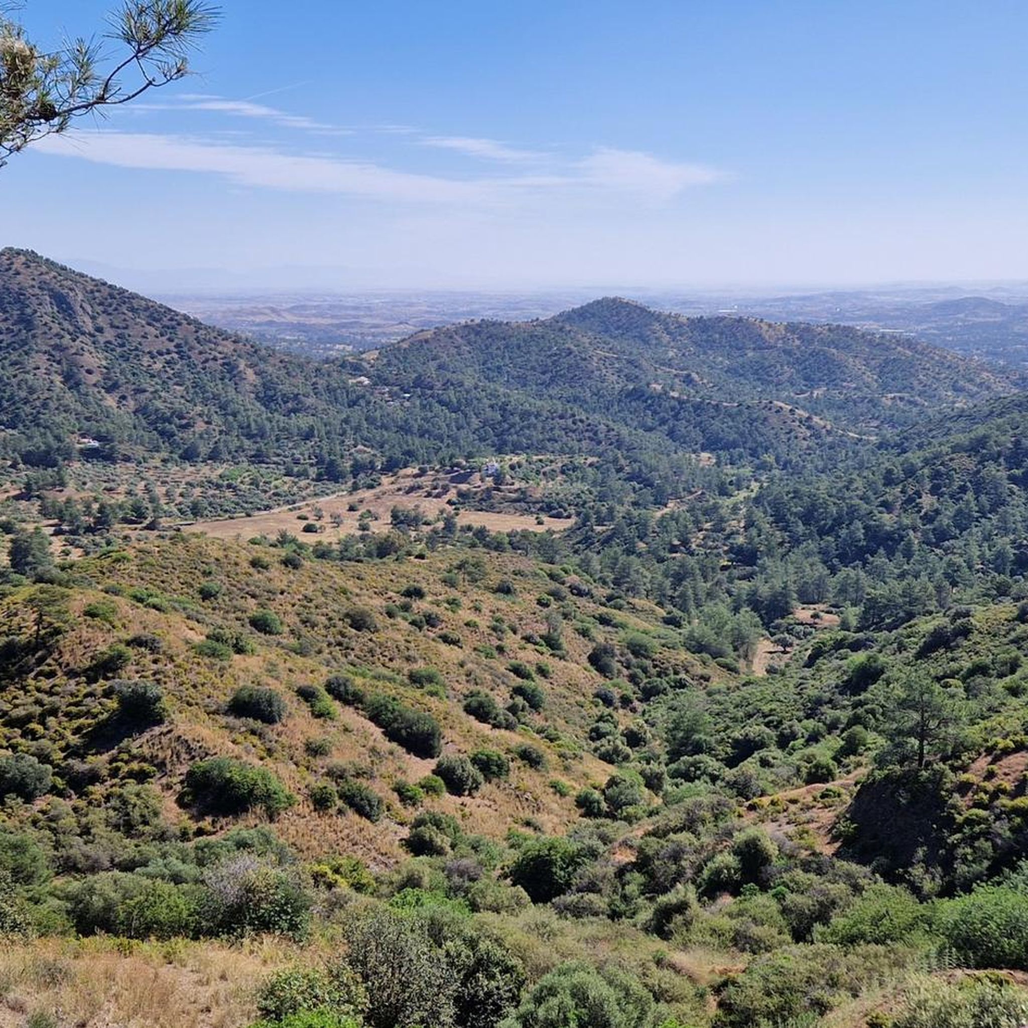
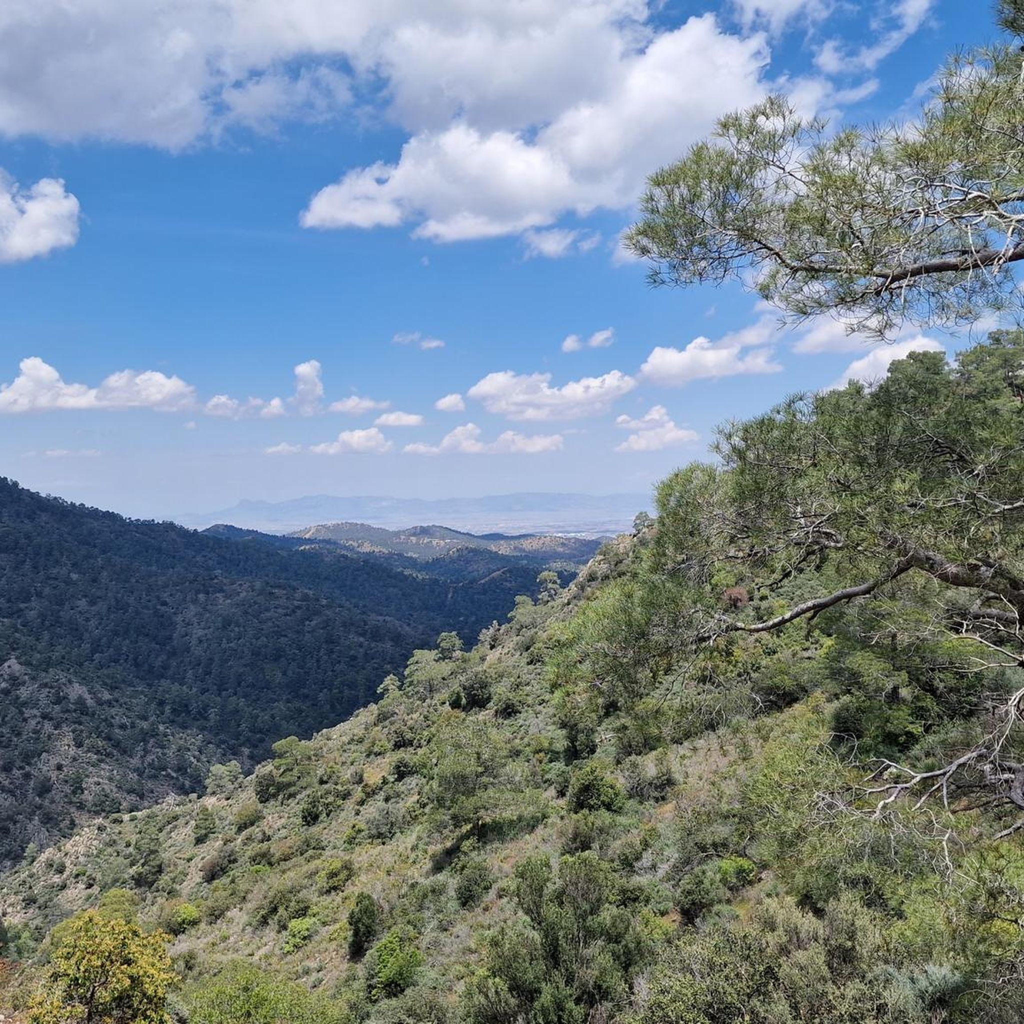
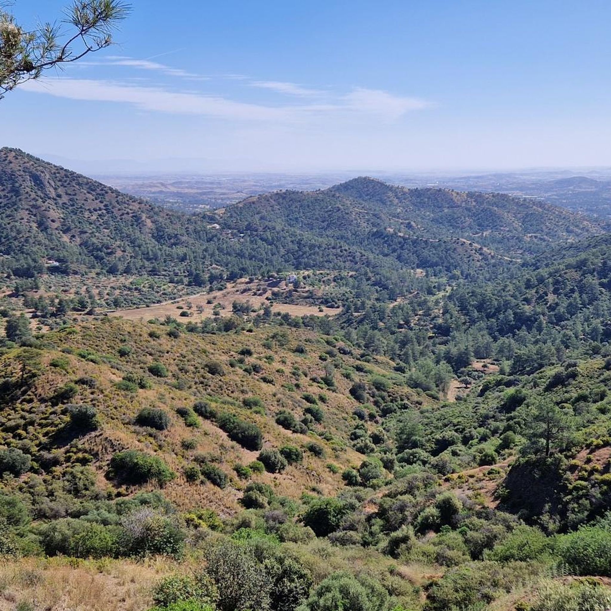
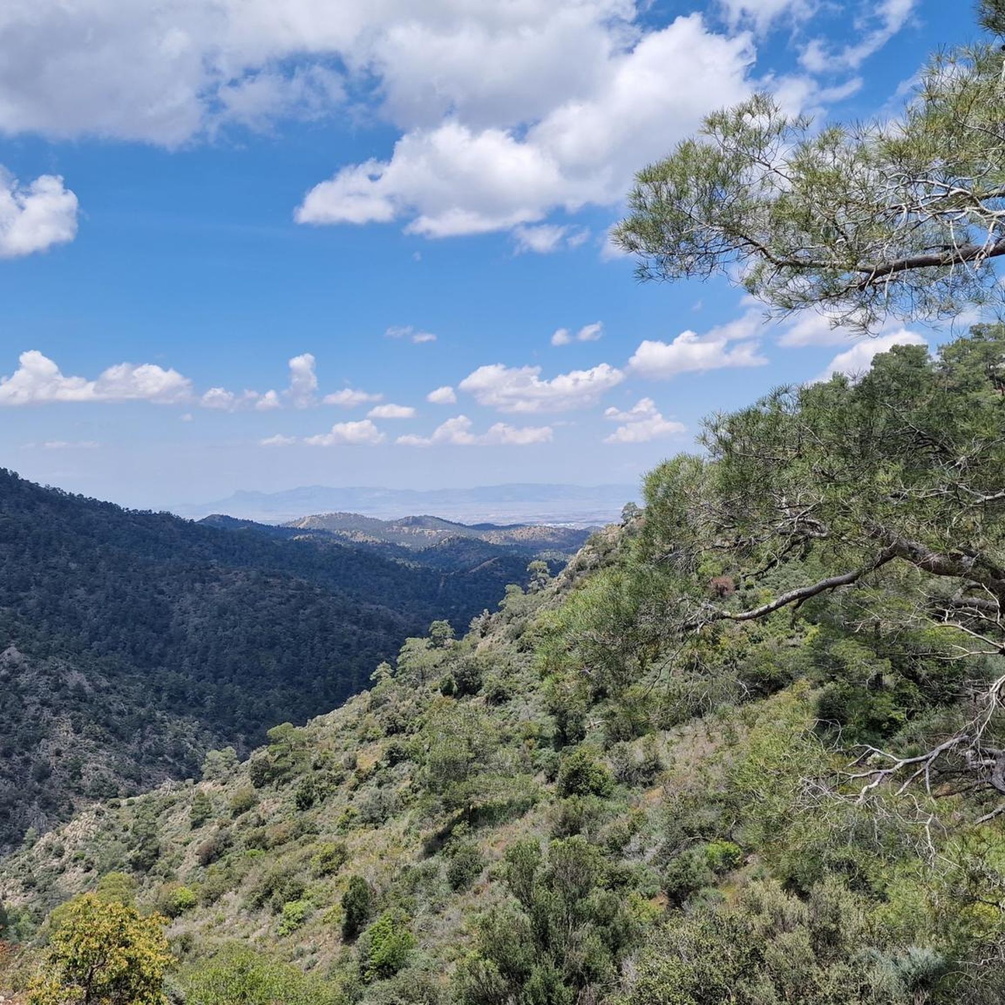
Road cycling routes around Machairas traverse the eastern part of the Troodos Mountains in Cyprus, characterized by a rugged, mountainous relief with narrow, deep valleys. The region is dominated by the Machairas Forest, a Natura 2000 site featuring extensive Calabrian pine and endemic Golden Oak. Cyclists encounter significant elevation changes, including climbs towards Kionia Peak, the highest point in the eastern Troodos at 1,423 meters. Numerous streams originate in these mountains, contributing to the diverse landscape.
Best road cycling routes…
Last updated: August 27, 2026
13
riders
29.0km
01:50
830m
830m
Moderate road ride. Good fitness required. Some segments of this route may be unpaved and difficult to ride.
5.0
(1)
4
riders
22.7km
01:12
430m
430m
Moderate road ride. Good fitness required. Some segments of this route may be unpaved and difficult to ride.

Sign up for free
26
riders
47.8km
02:35
970m
960m
Hard road ride. Very good fitness required. Mostly well-paved surfaces and easy to ride.
5.0
(1)
8
riders
29.5km
01:22
330m
330m
Moderate road ride. Good fitness required. Some segments of this route may be unpaved and difficult to ride.
7
riders
21.3km
01:13
510m
510m
Moderate road ride. Good fitness required. Mostly well-paved surfaces and easy to ride.
Get access to more routes and recommendations from other explorers.
Sign up for free
Already have an account?
Our route recommendations are based on thousands of hikes, rides, and runs completed by other people on komoot.
Start today with a free account
Your next adventure awaits.
Login or Signup
Tips from the Community

The community lives off agriculture.
5
0
The farm buildings are arranged around the church.
5
0
Located on the edge of the Troodos Mountains, the abbey is one of the oldest and most important monasteries in Cyprus.
5
0
Today, the monastery is entered from the parking lot through the west-facing gate.
7
0
Made by the restaurant owner
6
0
At Yiannakos Restaurant you can not only eat well, but also see the pumpkins.
6
0
Bottleneck pumpkin
7
0
Many of these historic cells are no longer in operation today,
7
0
Frequently Asked Questions
What kind of terrain and difficulty can I expect on road cycling routes in Machairas?
Machairas is characterized by a rugged, mountainous relief with narrow, deep valleys, situated in the eastern part of the Troodos Mountains. Road cycling routes here often involve significant elevation changes and climbs. While there are some moderate options, the region is known for its challenging routes. Out of 36 available routes, 23 are classified as difficult, 12 as moderate, and 1 as easy, catering to various fitness levels.
Are there any family-friendly road cycling routes in Machairas?
While many routes in Machairas feature significant climbs and are classified as moderate to difficult, there is at least one easy road cycling route available. For families, it's advisable to look for routes with less elevation gain or consider e-bike rentals, which are available in the area to help navigate the mountainous terrain.
What are some notable natural features or viewpoints I can experience while road cycling in Machairas?
The Machairas Forest, a Natura 2000 site, is a dominant feature with extensive Calabrian pine and endemic Golden Oak. You can also experience panoramic views from Kionia Peak, the highest point in the eastern Troodos at 1,423 meters. For specific viewpoints, consider routes that pass by areas like the Kakokefalos viewpoint, which offers expansive vistas.
Are there any circular road cycling routes in Machairas?
Yes, many road cycling routes in Machairas are designed as loops, allowing you to start and end at the same point. Examples include the Tzionia Mantres – Kakokefalos viewpoint loop from Kapedes, the Delikipos Reservoir – Delikipos Stone Bridge loop from Lythrodontas, and the Kampia Church – Machairas Monastery loop from Gourri.
What historical or cultural attractions can I visit along road cycling routes in Machairas?
The region is rich in history and culture. You can visit the historic Profitis Ilias monastery, or the significant Machairas Monastery, founded in the 12th century. The area also holds historical significance with the underground hideout of Gregoris Afxentiou near Machairas Monastery.
What is the best time of year for road cycling in Machairas?
Machairas offers diverse conditions throughout the year. The region is part of the Troodos Mountains, so while spring and autumn provide pleasant temperatures, summer can be hot, and winter may bring colder conditions at higher elevations. For specific seasonal considerations, it's best to check local weather forecasts closer to your visit, especially for winter conditions.
Are there any facilities or picnic areas available along the routes?
Yes, for relaxation and recreation, the Mandra tou Kampiou Picnic Area provides facilities like toilets, BBQs, shade, and parking. This can be an ideal spot to rest during your ride or to start a hike.
What do other road cyclists enjoy most about road cycling in Machairas?
The area is highly rated by the komoot community, with an average score of 5.0 stars from over 6 reviews. Cyclists often praise the challenging mountainous terrain, the dense pine forests, and the deep valleys that define the routes. The diverse network offers options for different ability levels, from moderate loops to more demanding climbs.
Can I find places to eat or drink along the road cycling routes in Machairas?
The routes often pass through picturesque villages like Lazanias and Gouri, and continue towards Farmakas and Palaichori. These villages typically offer local cafes or tavernas where you can stop for refreshments and experience Cypriot hospitality. It's always a good idea to carry sufficient water and snacks, especially on longer routes.
Are there any routes that pass by water features or reservoirs?
Yes, the Delikipos Reservoir – Delikipos Stone Bridge loop from Lythrodontas is a moderate route that winds through natural landscapes, passing by the Delikipos Reservoir. The Machairas mountains are also the origin of numerous streams, including the significant Pediaios and Gialias rivers, contributing to the area's ecological importance.
What are some of the longer or more challenging road cycling routes in the Machairas region?
For those seeking a challenge, the Kampia Church – Machairas Monastery loop from Gourri is a difficult 29.5-mile (47.4 km) trail with significant elevation gain. The Nicosia to Machairas Cycling Route is another longer, more challenging option, spanning 60 kilometers with an elevation gain of 1493 meters, starting from Deftera in Nicosia and culminating at Machairas.
Are there options for e-bike rentals or guided tours in Machairas?
Yes, for those who prefer an assisted experience or want to explore the mountainous terrain with less effort, e-mountain bike rentals and guided safaris are available in the Machairas region. This allows riders to enjoy the challenging landscapes with the support of powerful e-bikes.
Most popular attractions around Machairas

Get inspired with the komoot mobile app


Explore more
Browse the best Road cycling routes in other regions.
