The best road cycling routes around Jotunheimen
5.0
(2)
172
riders
4
rides
Road cycling routes around Jotunheimen traverse a mountainous region in Norway, characterized by towering peaks and deep valleys. The landscape features high mountain plateaus, crystal-clear lakes, and winding roads. This area offers significant elevation gains, making it suitable for experienced cyclists seeking challenging terrain. Roads often pass through high-alpine environments, providing expansive views.
Best road cycling routes around Jotunheimen
- The most popular road cycling route is Sognefjellshytta – Tindevegen Trailhead Parking loop from Sognefjellshytta, a 38.0 miles (61.2 km) trail that takes 3 hours 48 minutes to complete. This difficult route features substantial climbs through high mountain passes.
- Another top favourite among local road cyclists is Krossbu Tourist Station – Sognefjellshytta loop from Vegaskjelet, a moderate 23.6 miles (38.0 km) path. This route offers scenic views of the mountainous landscape with a notable elevation gain.
- Local road cyclists also love the Juvasshytta Climb – Juvasshytta loop from Bøverdal kyrkje, a 17.2 miles (27.8 km) trail leading through high-alpine terrain, often completed in about 2 hours 22 minutes.
- Road cycling around Jotunheimen is defined by towering peaks, deep valleys, and high mountain plateaus. The network offers options for different ability levels, though many routes present significant challenges.
- The routes in Jotunheimen are highly rated by the komoot community with an average score of 5.0 stars from 4 reviews. More than 250 road cyclists have used komoot to explore Jotunheimen's varied terrain.
Last updated: May 16, 2026
44
riders
61.2km
03:49
1,690m
1,690m
Hard road ride. Very good fitness required. Mostly well-paved surfaces and easy to ride.
7
riders
38.0km
02:03
710m
710m
Moderate road ride. Good fitness required. Some segments of this route may be unpaved and difficult to ride.

Sign up for free
5.0
(1)
34
riders
27.8km
02:22
1,290m
1,290m
Hard road ride. Very good fitness required. Mostly well-paved surfaces and easy to ride.
12
riders
54.7km
03:40
1,800m
1,800m
Hard road ride. Very good fitness required. Some segments of this route may be unpaved and difficult to ride.
14
riders
65.3km
04:30
2,160m
2,160m
Hard road ride. Very good fitness required. Mostly well-paved surfaces and easy to ride.
Our route recommendations are based on thousands of hikes, rides, and runs completed by other people on komoot.
Start today with a free account
Your next adventure awaits.
Login or Signup
Popular around Jotunheimen
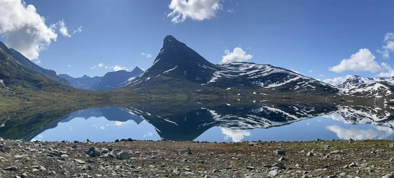
SignaTUR Omveien – Vast wilds, epic peaks and deep valleys

MASSIV-Ruta – Steep mountains and deep valleys, a Norwegian adventure
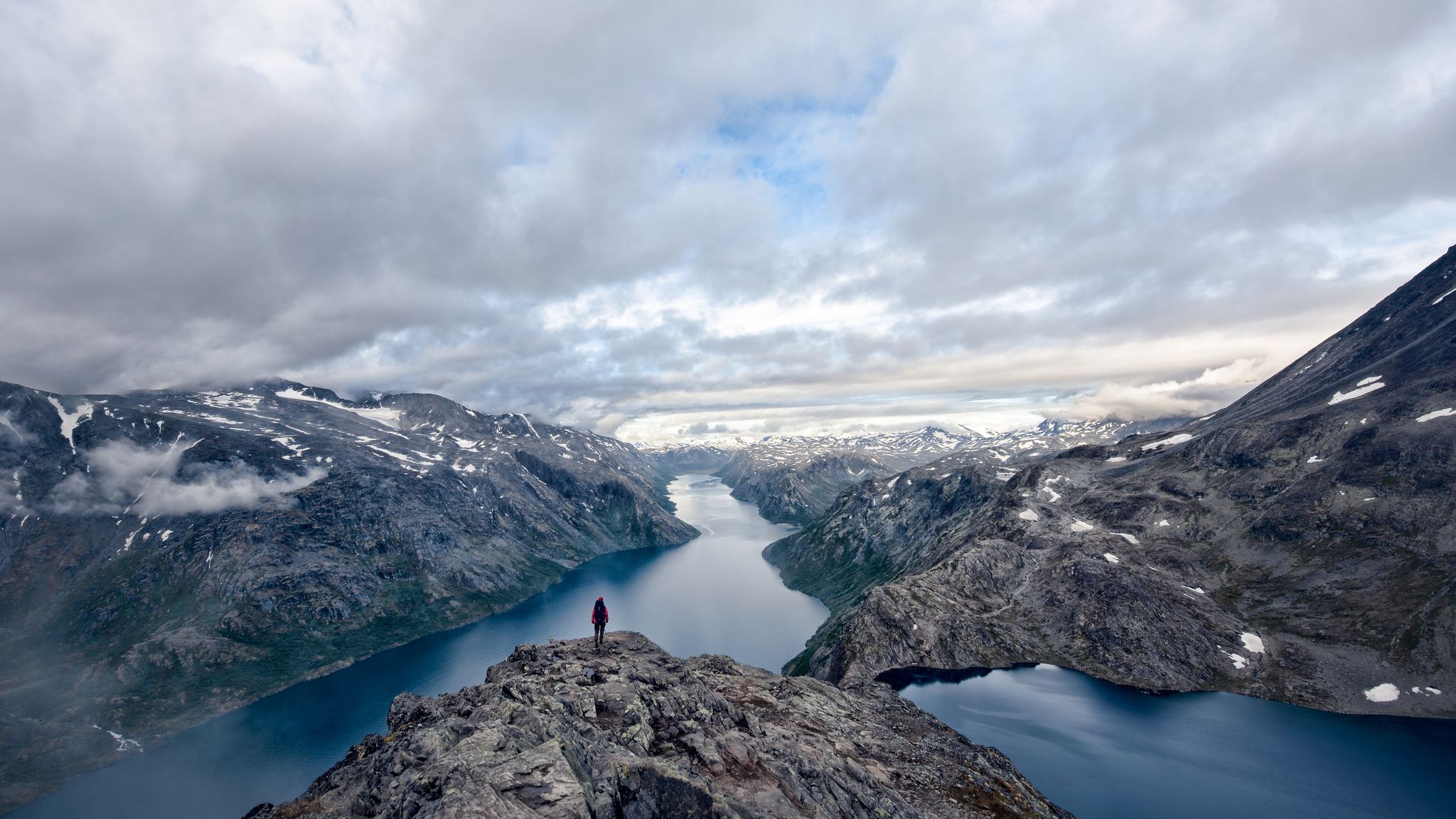
A 5-day-hike around Norway's Jotunheimen
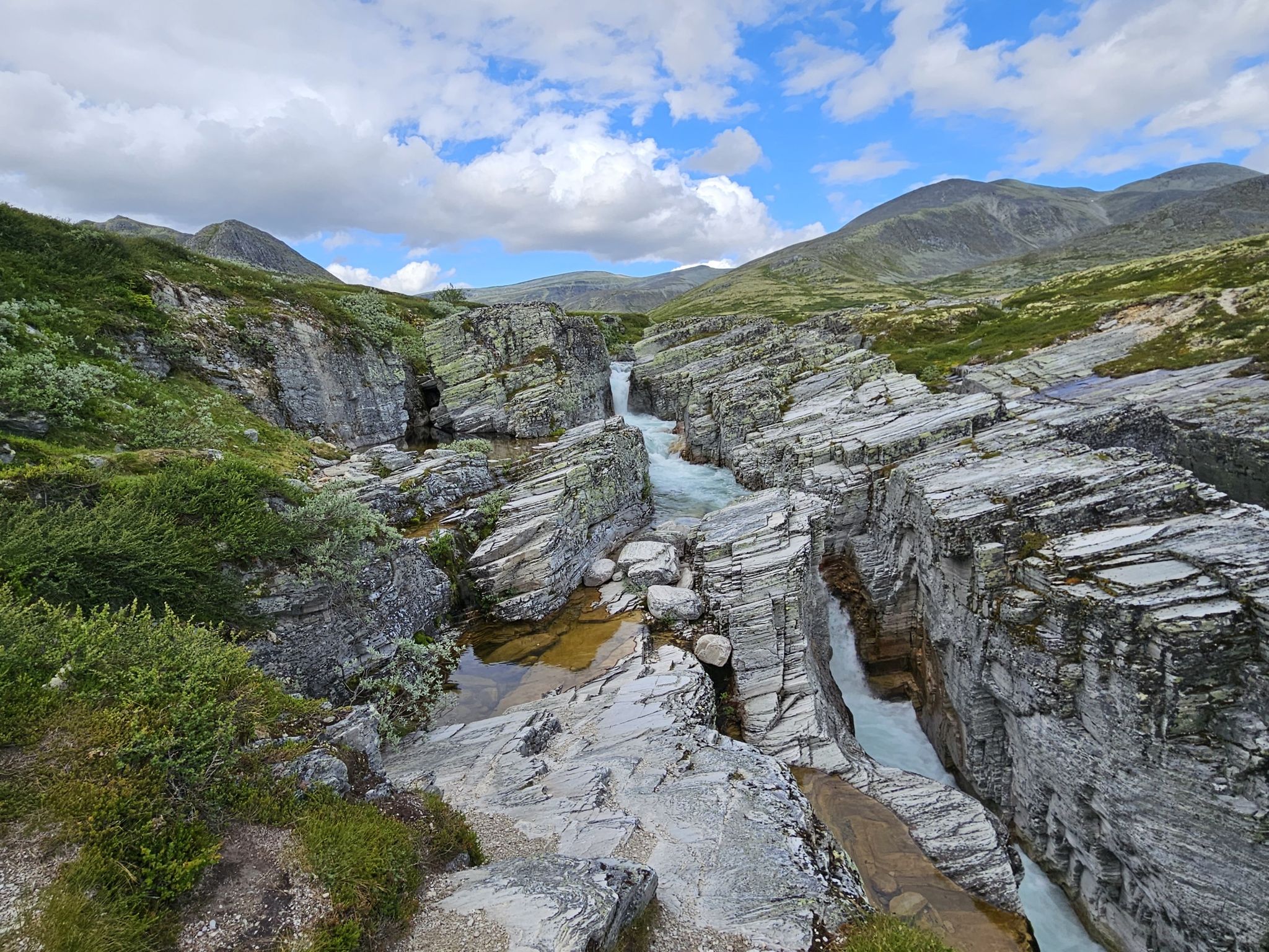
Discover nature and culture – day Tours in the south of Norway
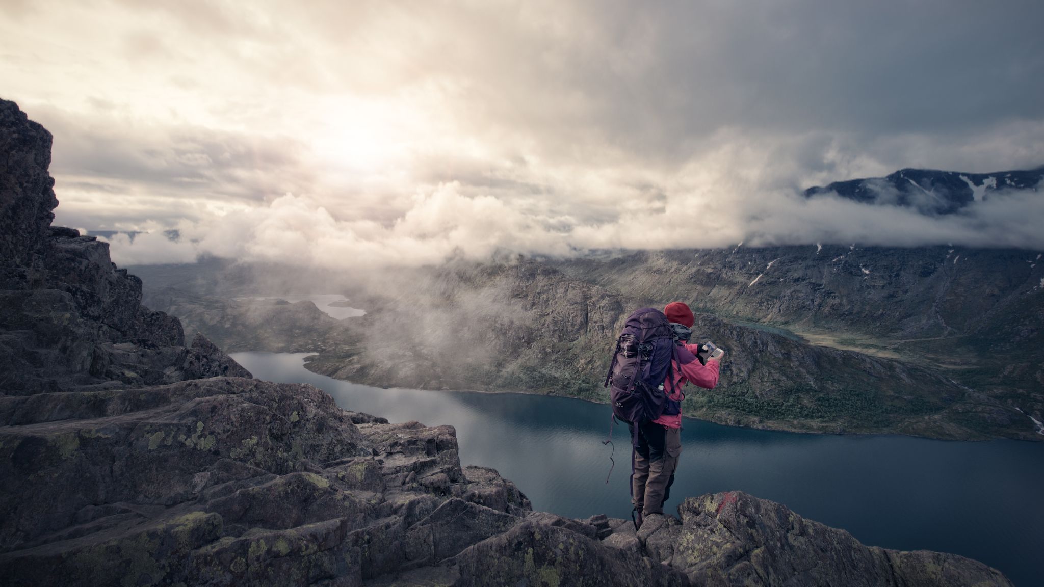
The secret gardens of Jotunheimen – among Norway's giants
Hiking around Jotunheimen
Running Trails around Jotunheimen
Cycling around Jotunheimen

Mountain Hikes around Jotunheimen
MTB Trails around Jotunheimen
Other adventures around Jotunheimen


Tips from the Community

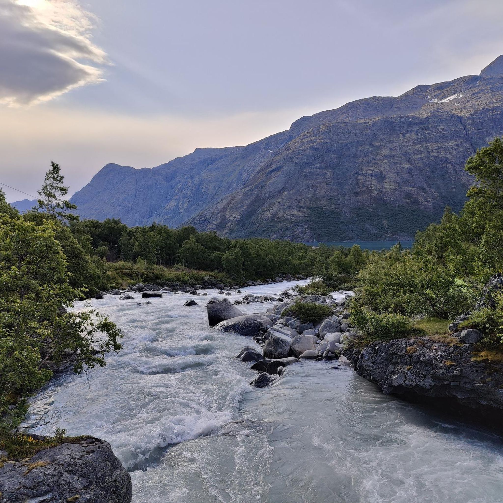
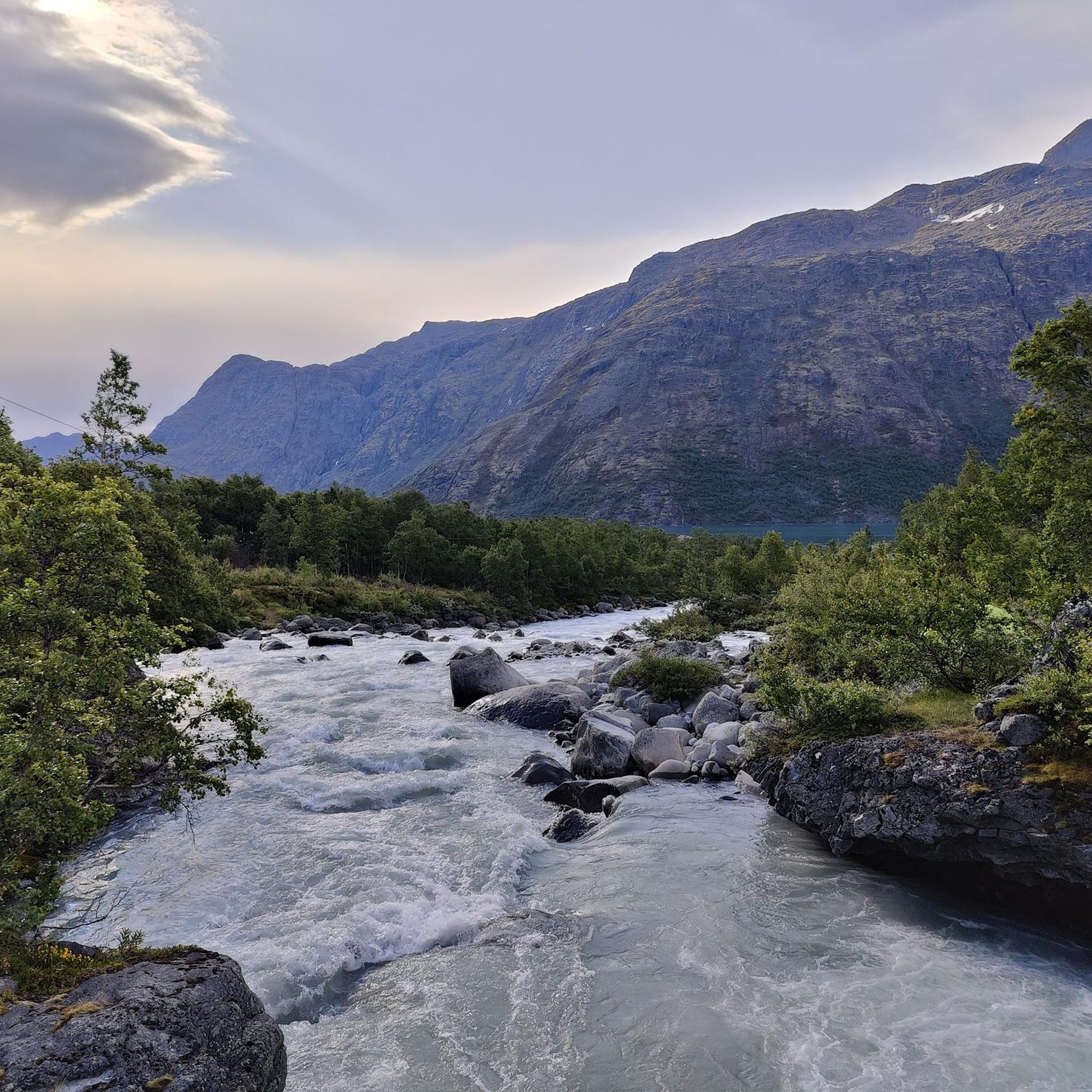
This is a stunning spot for a walk: you will find yourself surrounded by mountains on the one side and a river on the other side. Take some time to take a break and admire the strength of the water currents here.
0
0

Of all of Norway's fjords, Sognefjorden is the longest. It stretches inland from the sea for 127 miles (205 km), earning it the title 'the King of Fjords'. The Omveien long-distance trail ends at the Sognefjorden after an epic journey taking in the wilds of Langsua and the majesty of Jotunheimen.
0
0


A breathtaking scenery with snow in midsummer. The highest point is the Fantesteinen. In midsummer (late June), you can even still see cross-country skiers – so it's still very cool to cold.
0
0

Ahard bikepacking route. Great moutains around. and a very long downhil!
0
0

A great starting point to start a tour. You can also park your car here for several days. There is even the option to take a shower, but it costs 75 krone.
0
0

Stunning, long climb. Definitely worth the effort
0
0
A really beautiful route with breathtaking views. It is advisable to consider the wind beforehand. The route is very exposed and can be quite unpleasant and even dangerous in strong winds. Apart from that, however, it is an unreserved recommendation.
2
0
Frequently Asked Questions
What kind of terrain can I expect on road cycling routes in Jotunheimen?
Road cycling in Jotunheimen is characterized by dramatic mountainous landscapes. You can expect significant elevation gains, with routes traversing towering peaks, deep valleys, and vast mountain plateaus. The region is known for challenging uphill roads, including Northern Europe's highest tarmac road, the Galdhøpiggvegen, offering immense challenges and rewarding views.
How many road cycling routes are available in Jotunheimen?
There are several road cycling routes around Jotunheimen, with komoot featuring 4 distinct tours. These routes are highly rated by the komoot community, with an average score of 5.0 stars from 4 reviews.
Are there challenging road cycling routes for experienced cyclists in Jotunheimen?
Yes, Jotunheimen is renowned for its challenging climbs and demanding terrain, making it ideal for experienced cyclists. Routes often feature significant elevation gains and traverse high mountain passes. For example, the Sognefjellshytta – Tindevegen Trailhead Parking loop from Sognefjellshytta is a difficult 61.2 km route with substantial climbs.
What natural features or landmarks can I see along the road cycling routes in Jotunheimen?
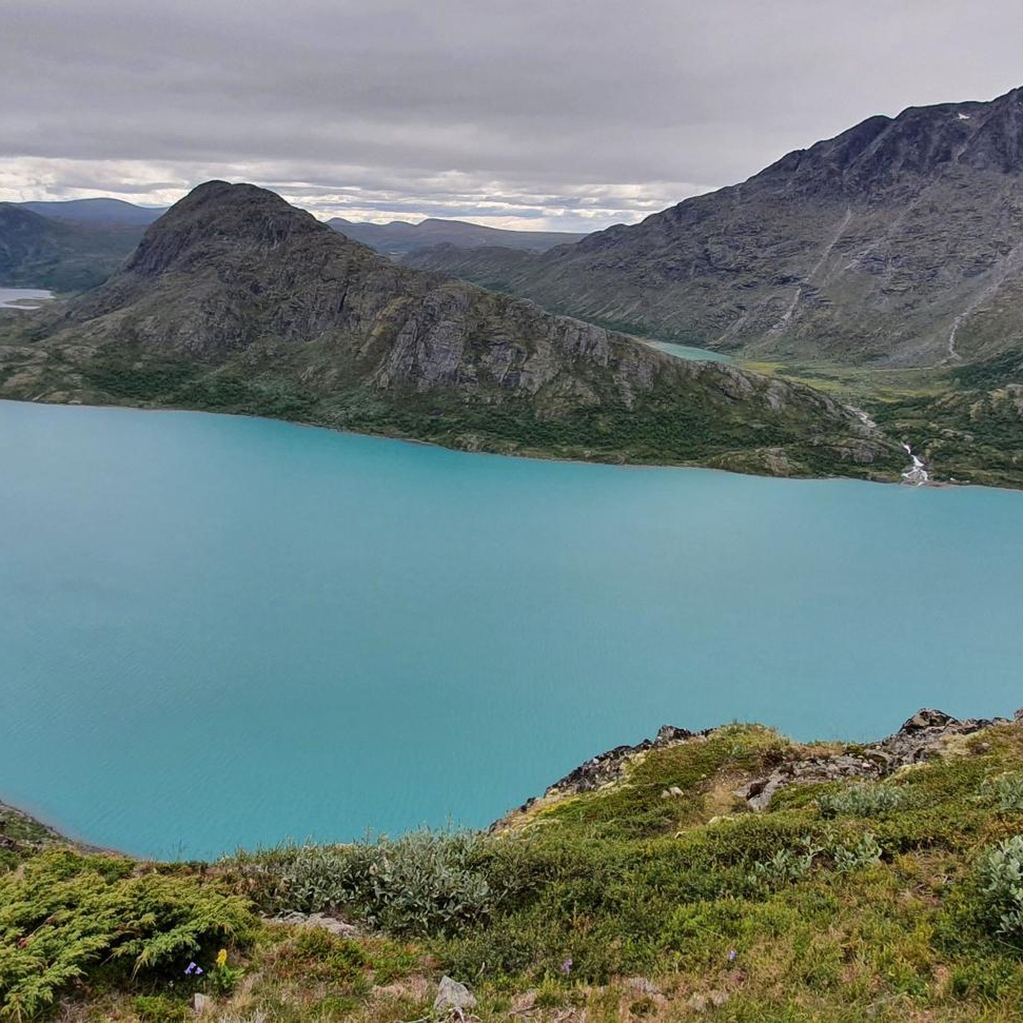
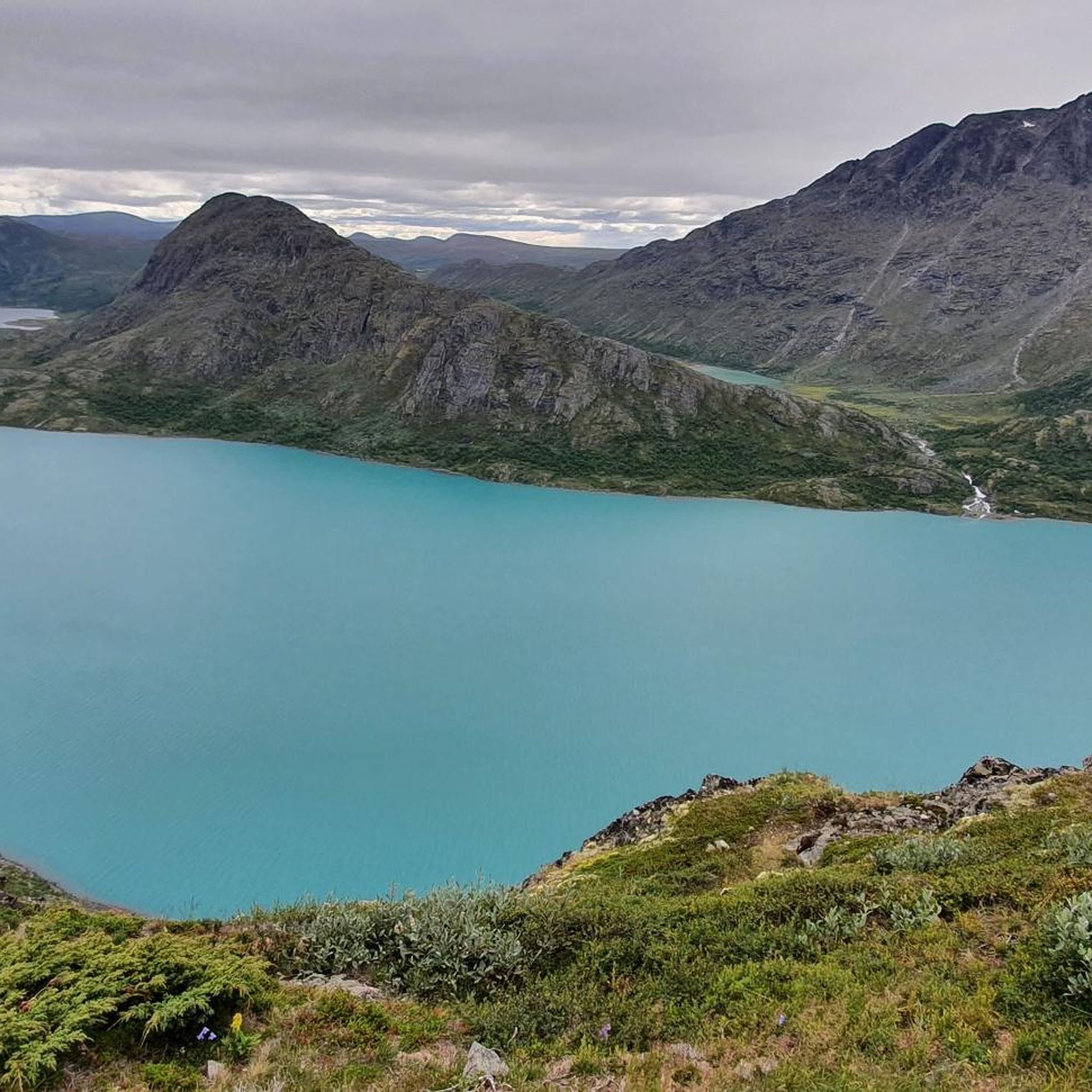
Jotunheimen offers breathtaking natural features. You can encounter crystal-clear lakes like Gjende, known for its distinctive green hue, and deep valleys such as the Memurudalen Valley. Many routes provide continuous stunning vistas of towering peaks and glaciers. You might also pass viewpoints like the View of Gjende and Bessvatnet Lakes.
Are there any specific viewpoints worth visiting during a road cycling tour in Jotunheimen?
Absolutely. Jotunheimen is full of spectacular viewpoints. The View of Gjende and Bessvatnet Lakes offers iconic scenery. Additionally, many routes provide panoramic views of the vast mountain plateaus and dramatic river valleys, such as the View of spectacular river valley.
Are there circular road cycling routes available in Jotunheimen?
Yes, several routes in Jotunheimen are designed as loops, allowing you to start and end at the same point. An example is the Krossbu Tourist Station – Sognefjellshytta loop from Vegaskjelet, a moderate 38.0 km path offering scenic views.
What is the best time of year for road cycling in Jotunheimen?
The best time for road cycling in Jotunheimen is typically during the warmer months, from late spring to early autumn, when mountain passes are clear of snow and roads are well-maintained. This period offers the most favorable weather conditions to enjoy the high-alpine environment.
What do other road cyclists enjoy most about road cycling in Jotunheimen?
The komoot community highly rates road cycling in Jotunheimen, with an average score of 5.0 stars. Cyclists often praise the breathtaking mountain landscapes, the challenge of significant elevation gains, and the continuous stunning vistas found on routes like the Juvasshytta Climb – Juvasshytta loop from Bøverdal kyrkje.
Are there options for less strenuous or beginner-friendly road cycling in Jotunheimen?
While many routes in Jotunheimen are challenging, there are options that cater to varying skill levels. Some routes feature well-paved surfaces and more manageable elevation gains. Electric bike adventures are also available for those seeking a less strenuous experience while still enjoying the spectacular scenery.
Are there places to eat or stay near the road cycling routes in Jotunheimen?
Yes, Jotunheimen has various facilities to support visitors. You can find mountain huts like Gjendebu and Memurubu Hut, which often offer accommodation and food. Along popular routes, you may also find tourist stations and cafes, especially in areas like Sognefjellshytta and Juvasshytta.
What are the parking options for road cyclists in Jotunheimen?
Parking is generally available at key starting points for many routes, such as tourist stations and designated trailheads. For instance, the Sognefjellshytta – Tindevegen Trailhead Parking loop from Sognefjellshytta indicates parking availability at the trailhead.
Is public transport available to access road cycling routes in Jotunheimen?
Access to Jotunheimen's road cycling routes via public transport can be limited due to the remote, high-alpine nature of the region. However, some main entry points or larger villages surrounding the national park may have bus connections. It's advisable to check local transport schedules for specific routes and times.
Most popular routes around Jotunheimen
Most popular attractions around Jotunheimen

Get inspired with the komoot mobile app


Explore more
Browse the best Road cycling routes in other regions.
