The best walks and hikes around Otelfingen
4.6
(1983)
12,850
hikers
25
hikes
Hiking around Otelfingen offers diverse terrain, characterized by the prominent Lägerngrat Ridge, extensive forested areas, and agricultural landscapes. The region provides access to trails with varied elevation gains, leading to panoramic viewpoints over the Mittelland. Otelfingen's natural environment includes features like the Egelsee and offers a blend of challenging ridge paths and more accessible walks.
Best hiking trails around Otelfingen
- The most popular hiking route is View from Lägern Hochwacht – Lägerngrat Ridge Trail loop from Otelfingen, an 8.5…
Last updated: September 30, 2026
4.9
(8)
29
hikers
13.6km
04:23
430m
430m
Moderate hike. Good fitness required. Mostly accessible paths. Sure-footedness required.
5.0
(2)
26
hikers
12.5km
03:52
410m
410m
Moderate hike. Good fitness required. Mostly accessible paths. Sure-footedness required.

5.0
(2)
14
hikers
10.5km
03:35
470m
470m
Hard hike. Good fitness required. Sure-footedness, sturdy shoes and alpine experience required.
4.0
(2)
22
hikers
9.09km
03:00
390m
390m
Moderate hike. Good fitness required. Mostly accessible paths. Sure-footedness required.
4
hikers
6.60km
01:56
180m
180m
Easy hike. Great for any fitness level. Easily-accessible paths. Suitable for all skill levels.
Get access to more routes and recommendations from other explorers.
Already have an account?
Our route recommendations are based on thousands of hikes, rides, and runs completed by other people on komoot.
Start today with a free account
Your next adventure awaits.
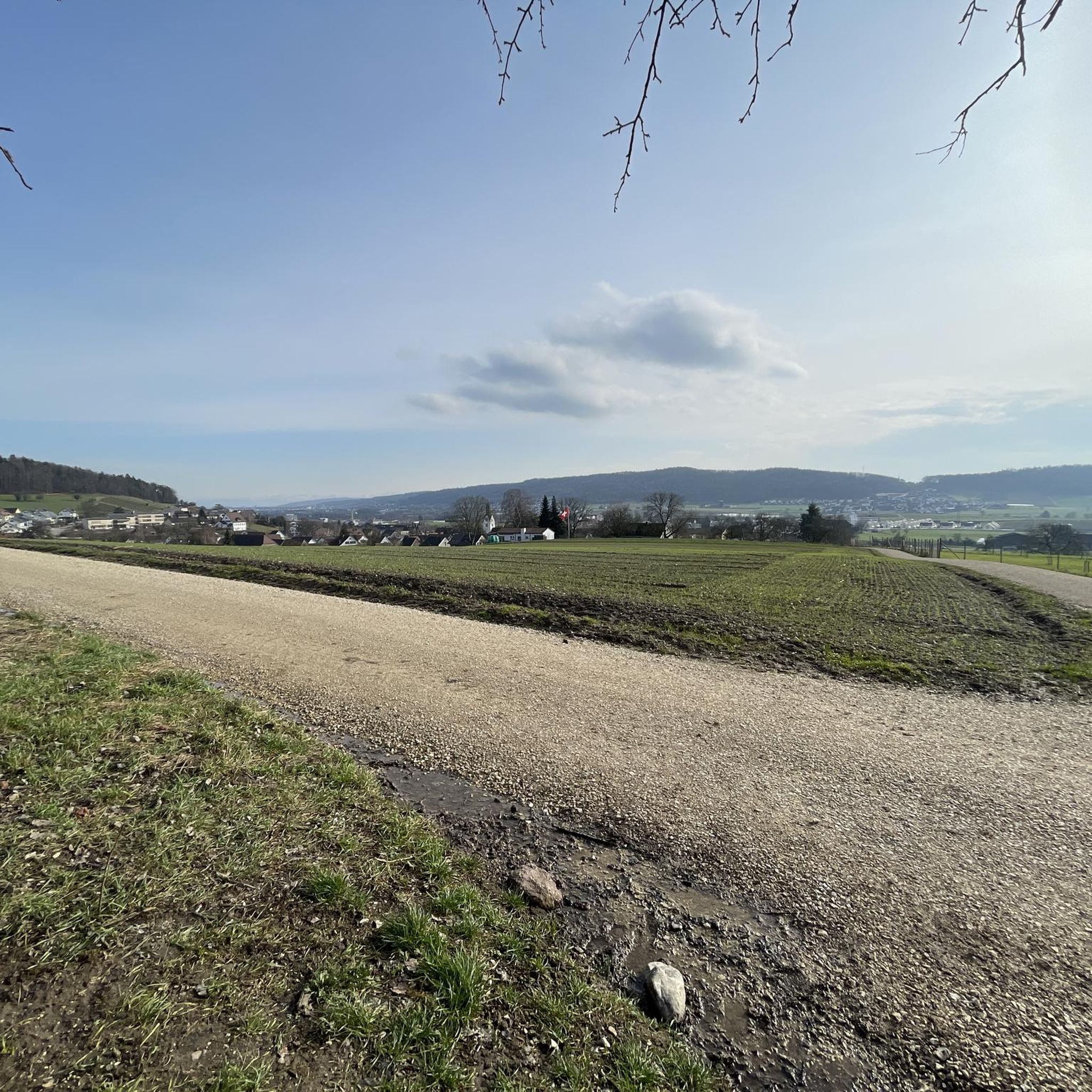
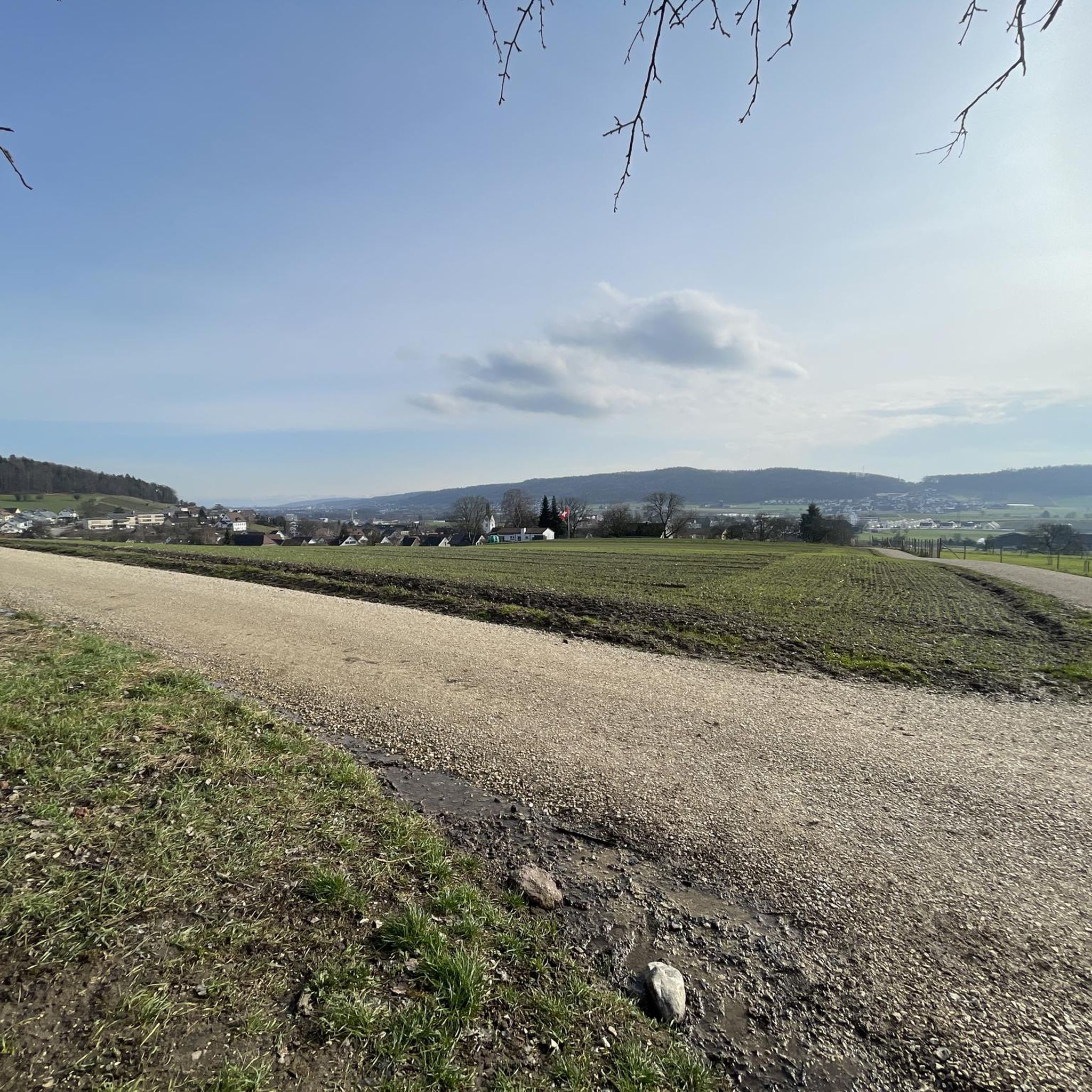
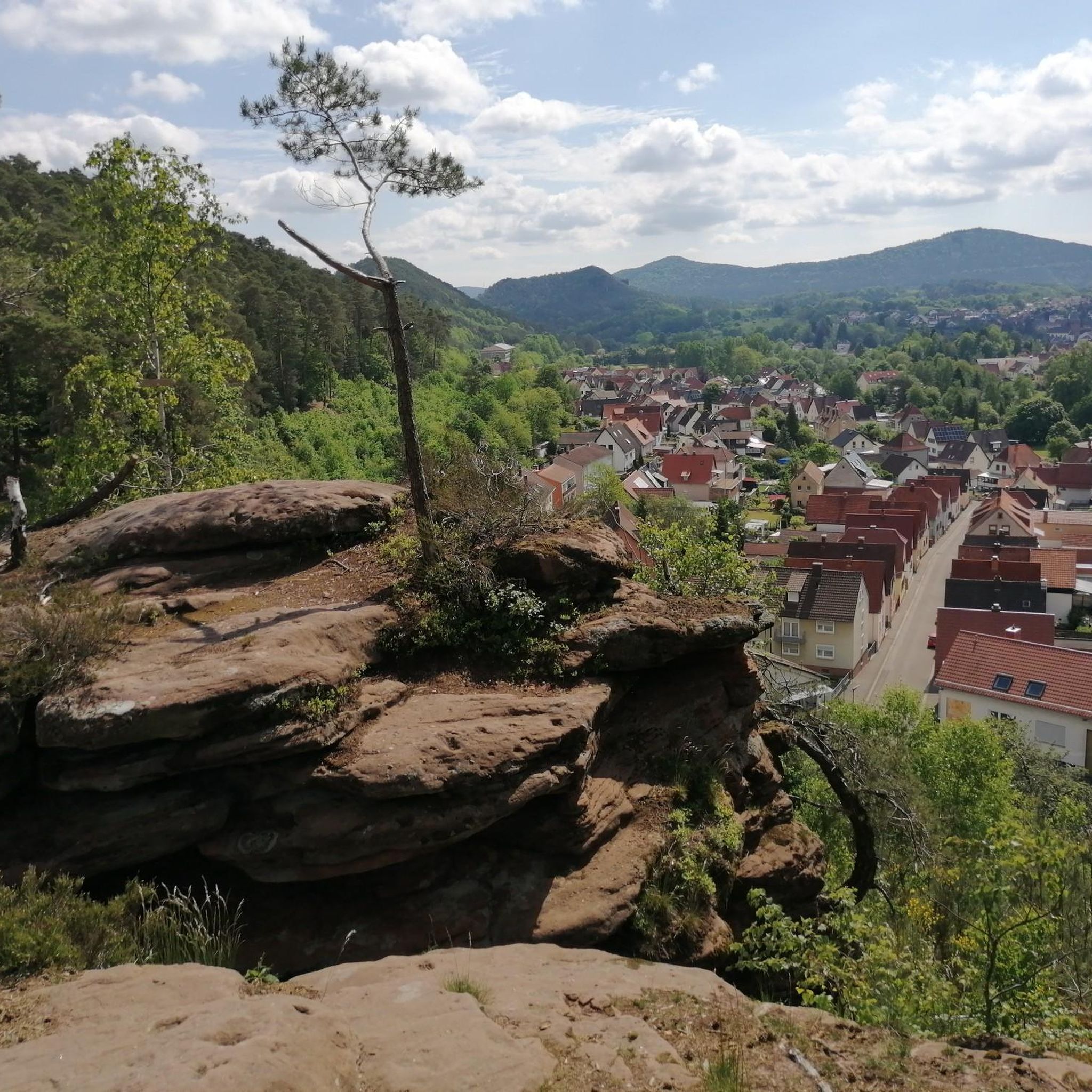
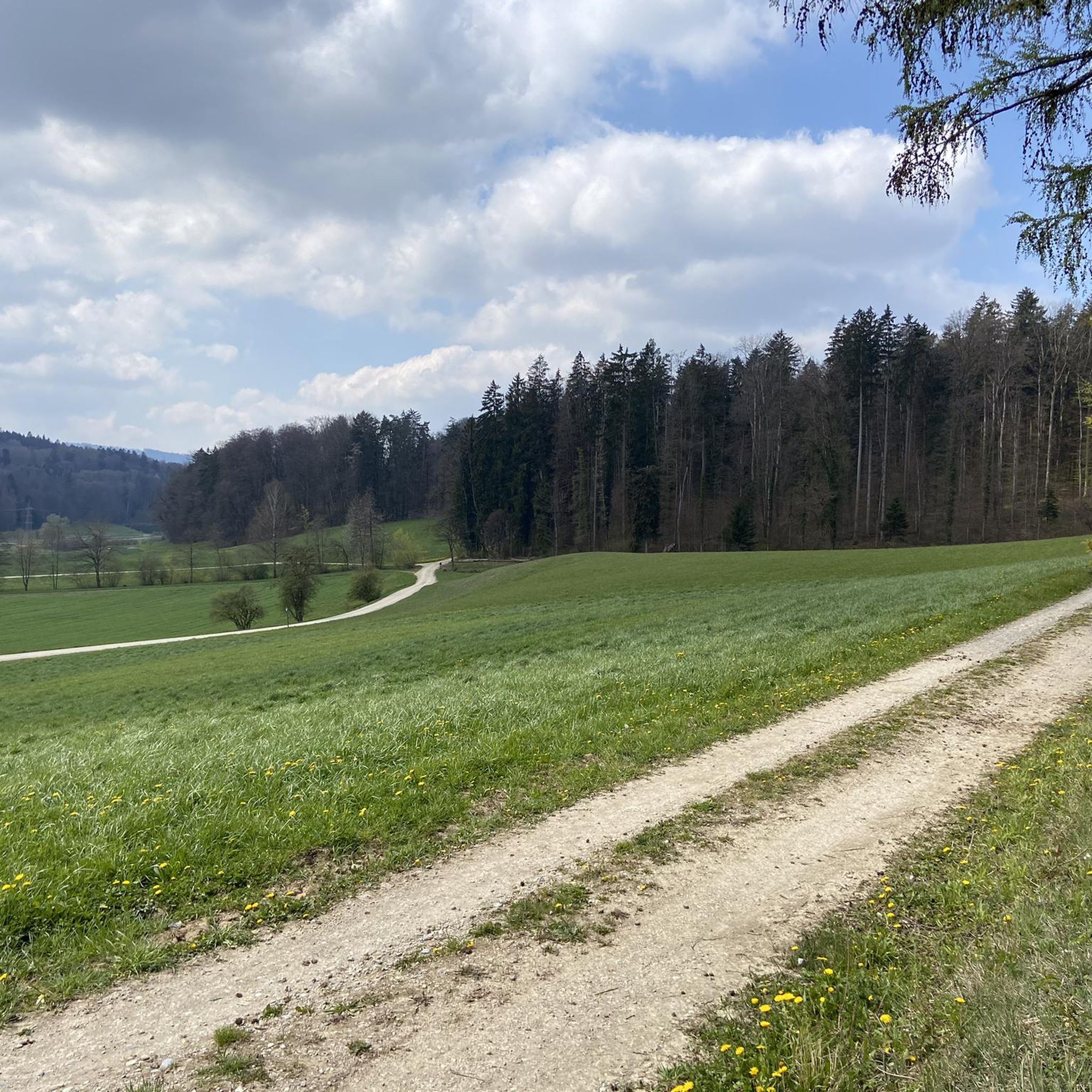
Tips from the Community

At this altitude you can decide to continue hiking along the ridge (T3) - very challenging - or to take the turnoff to the right (T1).
0
0

This tower is a radar station (secondary radar) for air traffic control and is operated by Skyguide. It processes exclusively echoes actively emitted by flying objects. Unlike the primary radar, which also uses echoes emitted immediately beforehand.
0
0

At 859 meters, the Burghorn is the highest point on the Lägerngrat. From here, you can enjoy spectacular panoramic views: to the south over the Limmat Valley to the Alps 🏔️, and to the north into the Surb Valley and the Aargau Jura 🌳 – a perfect place for a break with a view!
10
0

I definitely have to go there sometime...
1
0

Small cave (dug out) with a table and fireplace. Access from the north via ladders.
0
0

The route from the bottom is incorrectly navigated; ignore the left turn sign. There's simply a point where there's no way back and the climb is extremely dangerous. There's no solid ground and hardly any way to hold on. We almost called the REGA (Rega Rescue Service).
0
0

Wild garlic for the whole family
0
0

The ridge can only be walked with good footwear, surefootedness is absolutely necessary
4
0
Frequently Asked Questions
How many hiking trails are available around Otelfingen?
There are over 25 hiking routes around Otelfingen, catering to various skill levels. This includes 13 easy routes, 10 moderate routes, and 2 more challenging trails.
What kind of terrain can I expect on hikes in Otelfingen?
Hiking around Otelfingen offers diverse terrain, from rocky ridge paths along the Lägerngrat to extensive forested areas and agricultural landscapes. You'll find trails with varied elevation gains, leading to panoramic viewpoints over the Mittelland.
Are there any easy, family-friendly hikes in the area?
Yes, Otelfingen offers several easy routes suitable for families. An example is the Eigiweiher Pond loop from Lägern, an easy 6.6 km trail that takes about 2 hours to complete, leading through natural surroundings.
What are the most scenic viewpoints or landmarks to see while hiking?
Many trails offer superb panoramic views, especially along the Lägerngrat Ridge Trail. The View from Lägern Hochwacht – Lägerngrat Ridge Trail loop from Otelfingen provides excellent vistas. Additionally, the nearby Regensberg Castle offers extensive panoramic views from its round tower, making it a rewarding destination or break during a hike.
Are there any circular hiking routes around Otelfingen?
Yes, many routes in the region are circular, allowing you to start and end at the same point. Examples include the moderate Lägerngrat Ridge Trail – View from Lägern Hochwacht loop from Otelfingen, which is 9.09 km long, and the easy Eigiweiher Pond loop from Lägern.
What do other hikers say about the trails in Otelfingen?
The trails in Otelfingen are highly rated by the komoot community, with an average score of 4.7 stars from over 1600 reviews. Hikers often praise the diverse scenery, the challenging ridge paths, and the rewarding panoramic views over the Mittelland.
Are there any challenging hikes for experienced hikers?
Yes, for experienced hikers seeking a challenge, the region offers routes like the Burghorn – Lägernsattel Ridge Trail loop from Lägern. This difficult 10.4 km path features significant elevation gain and traverses a demanding ridge section, requiring sure-footedness.
Can I find hikes that pass by lakes or water features?
Yes, the area features several natural water bodies. The Egelsee is a notable scenic lake in the area, and the Eigiweiher Pond loop from Lägern specifically leads you past a pond. Other nearby lakes include Lake Katzensee and Franzosenweiher.
Is public transport available to reach hiking trailheads in Otelfingen?
Otelfingen is well-connected within the Zurich canton. Many trailheads are accessible via public transport, making it convenient to start your hike without a car. It's advisable to check local transport schedules for specific starting points.
Are there any hikes that offer a mix of nature and cultural sights?
Absolutely. You can combine natural beauty with historical charm. Many trails offer views towards Regensberg Castle, a historic site that provides cultural insights and panoramic views. Consider routes that pass near the castle for a blend of hiking and exploration.
What is the best time of year to go hiking in Otelfingen?
The region is enjoyable for hiking throughout much of the year. Spring and autumn offer pleasant temperatures and vibrant scenery, while summer provides longer daylight hours. Winter hiking is also possible, though some ridge paths may require more caution due to conditions.
Are there any moderate hikes that are a good length for a half-day trip?
Yes, several moderate routes are ideal for a half-day outing. The Furttalerhöhe – Otelfingen Village Center loop from Otelfingen is a moderate 8.2 km trail that typically takes around 2 hours 15 minutes, offering a good balance of distance and time.
Most popular routes around Otelfingen
Most popular attractions around Otelfingen

Get inspired with the komoot mobile app


Explore more
Browse the best Hikes in other regions.
