The best walks and hikes around Osthausen-Wülfershausen
4.6
(4900)
18,167
hikers
929
hikes
Hiking around Osthausen-Wülfershausen offers diverse landscapes in the Ilm-Kreis district of Thuringia, Germany. The region is characterized by the lush Ilm Valley and notable limestone cliffs near Kranichfeld, providing varied terrain for outdoor activities. This area features a network of hiking trails suitable for different fitness levels, ranging from easy walks to more demanding routes.
Best hiking trails around Osthausen-Wülfershausen
- The most popular hiking route is Oberschloss Kranichfeld – Oberschloss Kranichfeld loop from Riechheim, a 9.3 miles (14.9 km)…
Last updated: June 26, 2026
4.7
(26)
79
hikers
15.3km
04:09
220m
220m
Moderate hike. Good fitness required. Easily-accessible paths. Suitable for all skill levels.
4.5
(17)
62
hikers
Easy hike. Great for any fitness level. Easily-accessible paths. Suitable for all skill levels.

Sign up for free
4.6
(17)
78
hikers
Moderate hike. Good fitness required. Mostly accessible paths. Sure-footedness required.
5.0
(3)
21
hikers
10.7km
02:55
160m
160m
Moderate hike. Good fitness required. Easily-accessible paths. Suitable for all skill levels.
4.9
(35)
31
hikers
9.68km
02:39
160m
160m
Moderate hike. Good fitness required. Easily-accessible paths. Suitable for all skill levels.
Get access to more routes and recommendations from other explorers.
Sign up for free
Already have an account?
Our route recommendations are based on thousands of hikes, rides, and runs completed by other people on komoot.
Start today with a free account
Your next adventure awaits.
Login or Signup
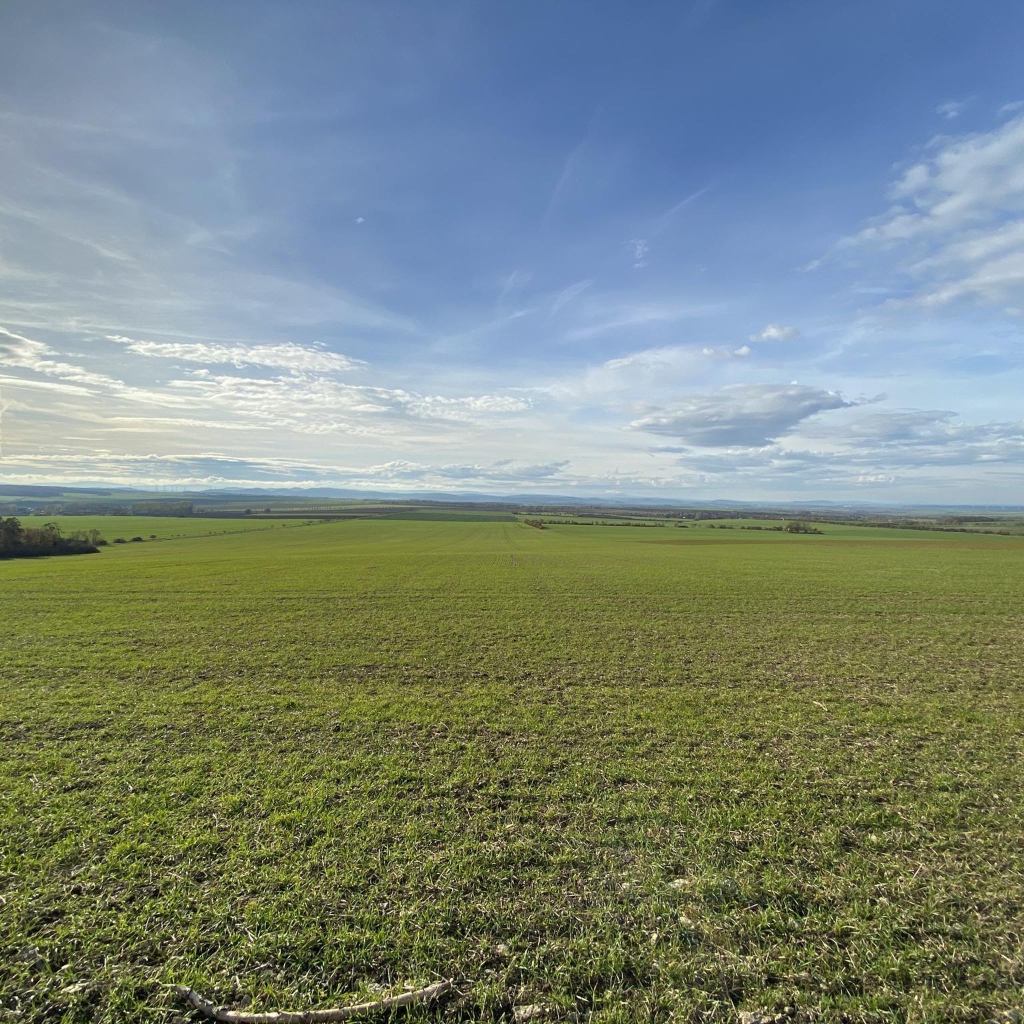
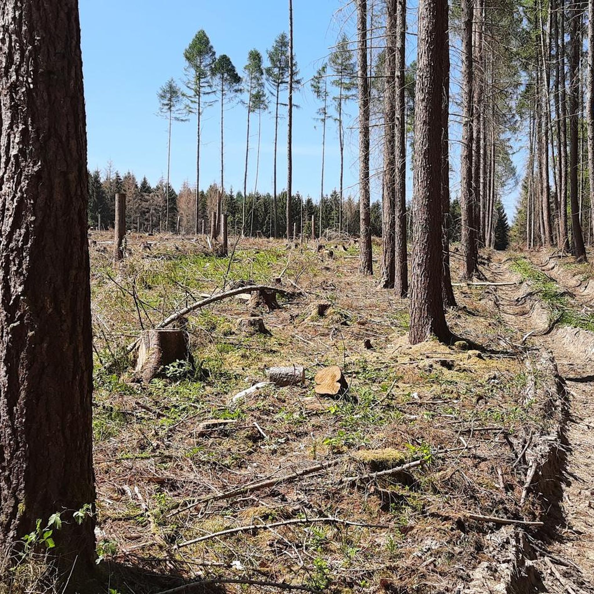
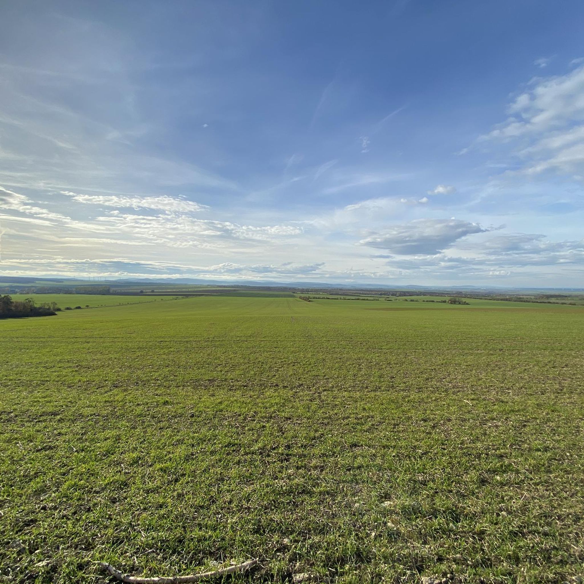
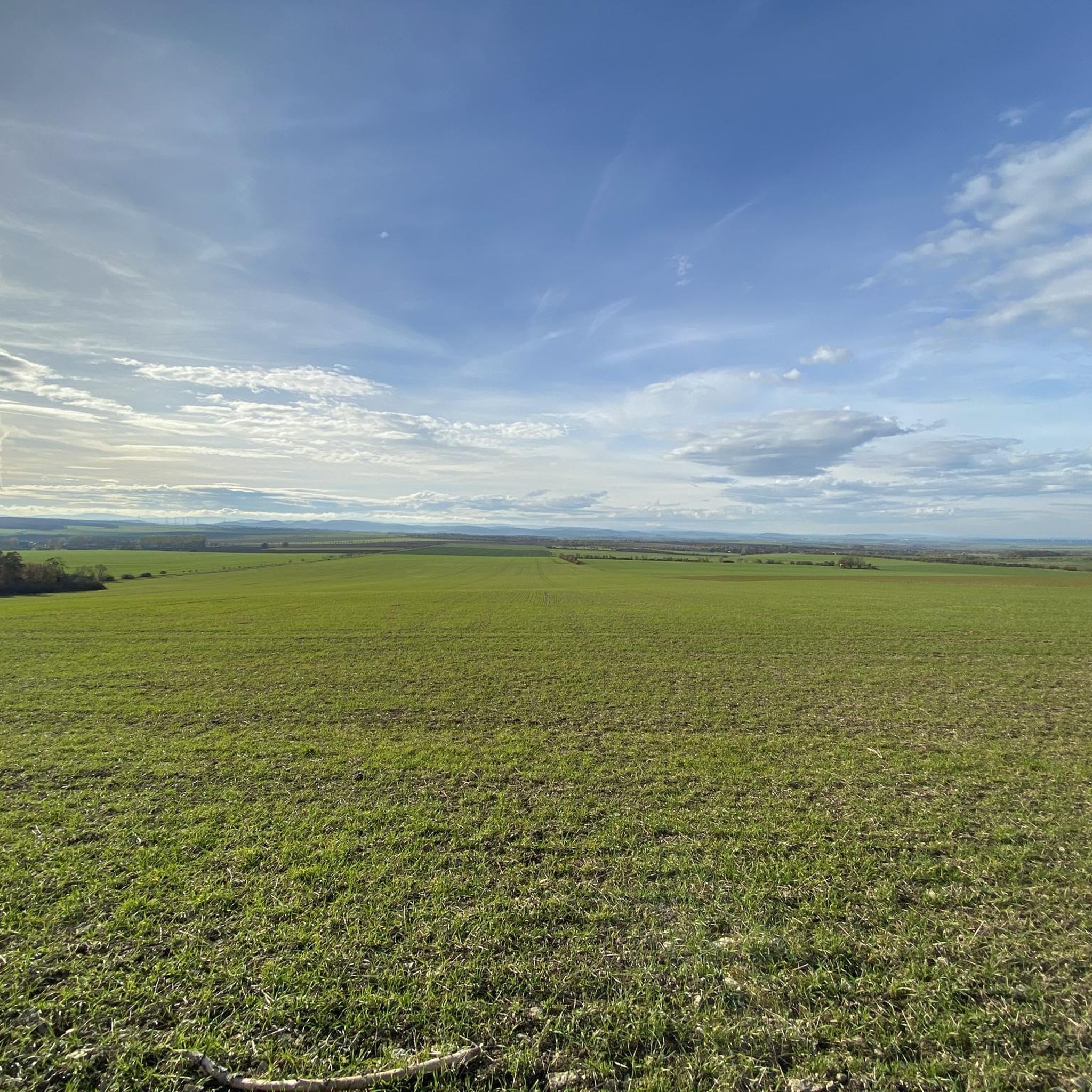
Tips from the Community

Perfect for relaxing
0
0

Beautiful in summer and winter.
0
0
In summer, definitely wear long clothing. Greetings and bushes up to your chest. Lots of creepy crawlies🕷🐛.
0
0


The backrests of the benches are no longer trustworthy, but there is a trash can.
0
0
A bit run down but with a trash can and a roof in case of rain.
0
0

There are several works of art to admire along the shore. I particularly liked the nymph.
1
0

Frequently Asked Questions
How many hiking trails are available in Osthausen-Wülfershausen?
Osthausen-Wülfershausen offers a vast network of nearly a thousand hiking trails. With over 900 routes, you'll find diverse options ranging from easy strolls to more challenging hikes, ensuring there's something for every fitness level.
Are there easy hiking trails suitable for beginners or families?
Yes, the region is very welcoming for beginners and families. Over 500 of the available routes are classified as easy. A great option is the Riechheimer Berg Tower and Inn – View from Riechheimer Berg loop from Riechheim, an easy 3.6 km path offering pleasant views.
What kind of landscapes can I expect to see while hiking in Osthausen-Wülfershausen?
Hikers in Osthausen-Wülfershausen can expect a diverse landscape. The region is characterized by the lush Ilm Valley and striking limestone cliffs near Kranichfeld, which some visitors compare to the scenery of Saxon Switzerland. You'll encounter varied terrain, from river valleys to elevated viewpoints.
Are there any historical landmarks or castles to explore along the hiking routes?
Absolutely! The area is rich in history. You can encounter impressive structures like the 19th-century Ilm Valley Viaduct. For castles, consider routes that pass by Oberschloss Kranichfeld, Tonndorf Castle, or the Neideck Tower and Castle Ruins in Arnstadt.
What do other hikers say about the trails in Osthausen-Wülfershausen?
The hiking trails in Osthausen-Wülfershausen are highly regarded by the komoot community, boasting an average rating of 4.6 out of 5 stars from over 4,600 reviews. Hikers frequently praise the diverse landscapes, well-maintained paths, and the variety of options for different skill levels.
Are there any circular walks available in the region?
Yes, many of the trails in Osthausen-Wülfershausen are designed as circular routes, allowing you to start and end at the same point. An example is the moderate Oberschloss Kranichfeld – Oberschloss Kranichfeld loop from Riechheim, which is 14.9 km long.
Can I find hikes with good viewpoints in Osthausen-Wülfershausen?
Yes, the region offers several routes with excellent viewpoints. The View of the Thuringian Basin – View from Riechheimer Berg loop from Riechheim is a 7.0 km moderate trail specifically known for its scenic vistas.
Are there any moderate hikes for those looking for a bit more challenge?
Certainly. Osthausen-Wülfershausen features over 360 moderate trails. For a rewarding experience, consider the View of the Valley – Goethestein loop from Riechheim, a 9.7 km route with varied terrain.
Are there any trails that pass by water features or reservoirs?
Yes, you can find routes that incorporate water features. The Hohenfelden Reservoir – Hohenfelden Climbing Forest loop from Riechheim is a moderate 10.6 km hike that takes you past the scenic Hohenfelden Reservoir.
What is the best time of year to go hiking in Osthausen-Wülfershausen?
The diverse landscapes of Osthausen-Wülfershausen are enjoyable throughout much of the year. Spring and autumn offer pleasant temperatures and beautiful foliage, while summer provides longer daylight hours. Even in winter, some trails can be explored, though conditions may vary.
How many people have explored the hiking trails in Osthausen-Wülfershausen using komoot?
The popularity of hiking in Osthausen-Wülfershausen is evident, with over 18,000 hikers having used komoot to explore the region's varied terrain. This indicates a well-loved and frequently visited area for outdoor enthusiasts.
Most popular routes around Osthausen-Wülfershausen
Most popular attractions around Osthausen-Wülfershausen

Get inspired with the komoot mobile app


Explore more
Browse the best Hikes in other regions.
