The best walks and hikes around Oschersleben
4.6
(450)
1,014
hikers
150
hikes
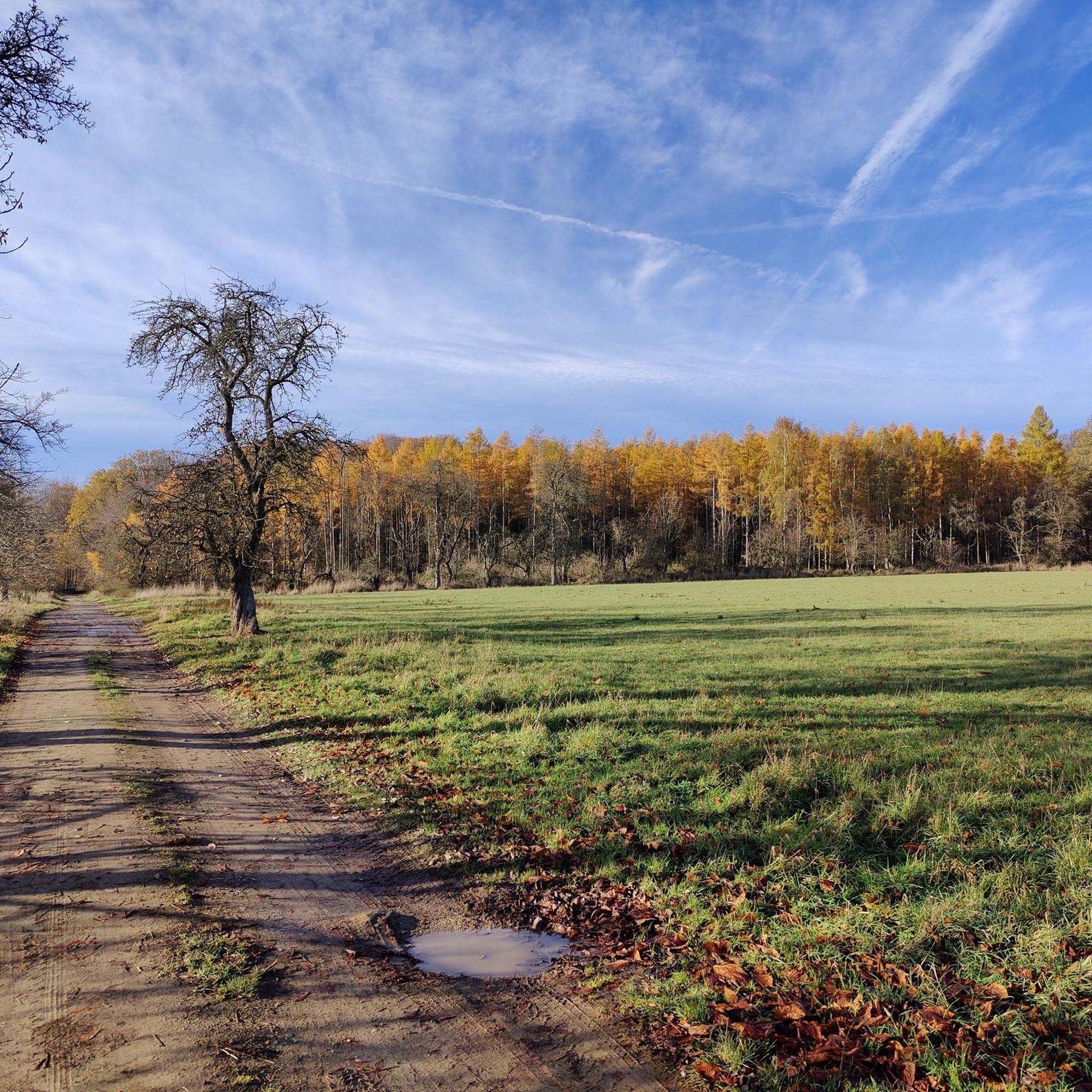
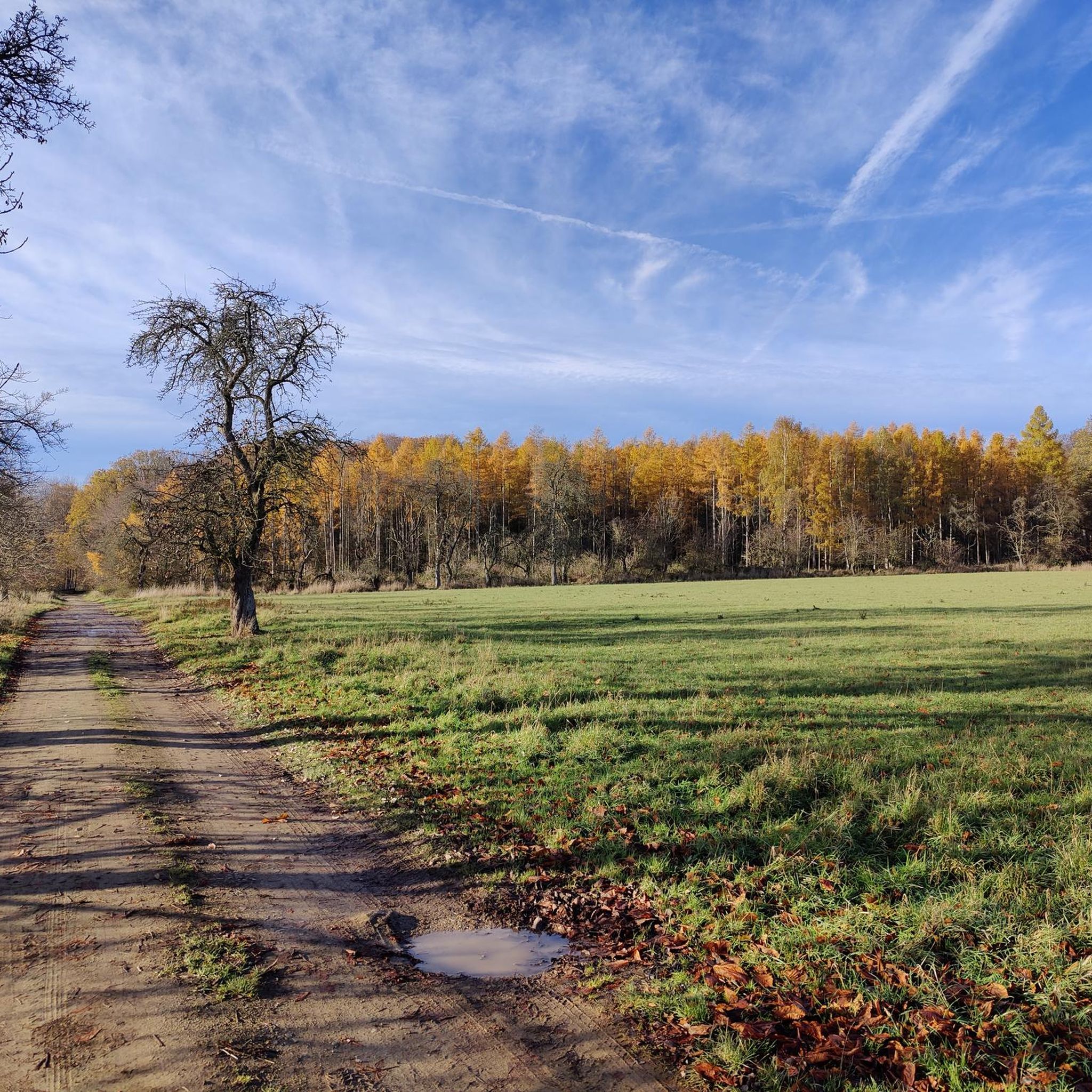
Hiking around Oschersleben offers diverse landscapes, from the expansive agricultural plains of the Magdeburg Börde to the wooded, hilly terrain of the Hohes Holz. The region features tranquil paths through open fields and more challenging trails within forested areas. The Große Bruch, an ancient glacial valley, and paths along the River Bode also contribute to the varied natural environments available for exploration.
Best hiking trails around Oschersleben
- The most popular hiking route is Rest Area with Shelter – Kahler Berg…
Last updated: June 26, 2026
4.9
(31)
74
hikers
Moderate hike. Good fitness required. Easily-accessible paths. Suitable for all skill levels.
4.0
(6)
25
hikers
Easy hike. Great for any fitness level. Easily-accessible paths. Suitable for all skill levels.

Sign up for free
4.6
(5)
44
hikers
Easy hike. Great for any fitness level. Easily-accessible paths. Suitable for all skill levels.
4.7
(15)
31
hikers
Easy hike. Great for any fitness level. Easily-accessible paths. Suitable for all skill levels.
4.9
(53)
32
hikers
Easy hike. Great for any fitness level. Easily-accessible paths. Suitable for all skill levels.
Get access to more routes and recommendations from other explorers.
Sign up for free
Already have an account?
Our route recommendations are based on thousands of hikes, rides, and runs completed by other people on komoot.
Start today with a free account
Your next adventure awaits.
Login or Signup



Tips from the Community

rest area with shelter and beautiful view
1
0

Bridge over the Bode at Wiesenpark, here you can find beautiful motifs of the Bode at setting sun or the foliage colours in autumn.🌞🍂🍁
0
0

It's amazing what you can do with such an old tree. (If you can)
6
0
The name may be a bit exaggerated, but it is definitely a cozy place.
6
0
The entire facility and the selection of animals are very commendable.
8
0
With such importance and popularity, a place on the market would be appropriate.
6
0

A rather unusual place for a memorial stone.
1
0
In addition to a refuge, there is also an information and overview map.
1
0
Frequently Asked Questions
What types of terrain can I expect when hiking around Oschersleben?
Oschersleben offers a varied landscape. You'll find expansive agricultural plains in the Magdeburg Börde, characterized by flat terrain and wide-open vistas. To the south, the Hohes Holz presents a more wooded, hilly landscape with more challenging trails. The Große Bruch, an ancient glacial valley, and paths along the River Bode also provide diverse natural environments.
Are there many hiking trails available in the Oschersleben region?
Yes, the Oschersleben region features a comprehensive network of hiking trails. There are over 150 routes available, catering to various preferences and fitness levels.
Are there easy hiking options suitable for beginners or casual walkers?
Absolutely. Over 80 of the routes in Oschersleben are classified as easy. For example, the Hotel Hubertushöhe – Rest area An der Hölle loop from Waldfrieden und Vogelherd im Hohen Holz is an easy 3.1-mile (4.9 km) path through forested areas. Another accessible option is the Zuckerecke Rest Area – Rest Area with Shelter loop from Altbrandsleben, which is about 2.8 miles (4.5 km) long.
What are some notable natural features or landmarks to look out for on hikes?
Beyond the diverse landscapes of the Magdeburg Börde and Hohes Holz, you can explore the Große Bruch glacial valley or walk along the River Bode. For specific points of interest, consider visiting the Birch Spring, or the Langer Stein (Menhir of Seehausen). The Heidberg is also recognized as the highest natural elevation in the Börde District.
Are there any family-friendly hiking spots or attractions in Oschersleben?
Yes, the Wiesenpark Oschersleben is an excellent destination for families. It offers extensive paths for strolls, a local zoo with various animals, and an adventure playground. Many of the easy hiking routes are also suitable for families.
Can I find circular hiking routes in Oschersleben?
Many of the hiking routes around Oschersleben are designed as loops, offering convenient circular walks. For instance, the Rest Area with Shelter – Kahler Berg Shelter loop from Waldfrieden und Vogelherd im Hohen Holz is a popular moderate circular trail.
What do other hikers enjoy most about the trails in Oschersleben?
The hiking trails in Oschersleben are highly rated by the komoot community, with an average score of 4.6 stars from over 400 reviews. Hikers often praise the varied terrain, from tranquil agricultural plains to the more challenging wooded hills of the Hohes Holz, and the well-maintained paths.
Are there any historical sites that can be combined with hiking in the area?
Yes, you can combine your hikes with visits to historical sites. The Hötensleben Border Memorial offers a unique glimpse into the former inner German border fortifications. Other points of interest include the Domburg Castle Ruins and Wanzleben Castle, which features a 30-meter high keep.
What is the best time of year to go hiking in Oschersleben?
Oschersleben offers pleasant hiking conditions throughout much of the year. Spring and autumn provide comfortable temperatures and beautiful scenery, with blooming fields or colorful foliage. Summer is also suitable, especially for shaded routes in the Hohes Holz. Even in winter, some trails can be enjoyed, particularly the flatter routes.
Are there any facilities like shelters or rest areas along the trails?
Yes, several routes feature shelters and rest areas. For example, you can find the Shelter at Querenberg or the Zuckerecke Rest Area. These provide convenient spots for a break during your hike.
Are there any challenging hikes for experienced hikers?
While Oschersleben is known for its many easy and moderate routes, there are a few more challenging options, particularly within the wooded and hilly Hohes Holz area. These routes offer greater elevation changes and longer distances for those seeking a more strenuous experience.
Most popular routes around Oschersleben
Most popular attractions around Oschersleben

Get inspired with the komoot mobile app


Explore more
Browse the best Hikes in other regions.
