The best cycling routes around Origlio
4.3
(1333)
17,559
riders
146
rides
Touring cycling around Origlio features a landscape characterized by significant elevation changes, including hills and mountain passes, alongside valleys and lake regions. The area offers a mix of challenging ascents and descents, with routes often traversing through varied terrain. This region is known for its extensive network of paths suitable for touring bicycles, connecting villages and natural features.
Best touring cycling routes around Origlio
- The most popular touring cycling route is On the heights of Arosio, Breno and Novaggio −…
Last updated: August 14, 2026
4.5
(8)
115
riders
32.5km
02:35
740m
740m
Cycle a difficult 20.2-mile loop through the Malcantone region, enjoying panoramic views and charming villages like Arosio and Breno.
4.5
(2)
61
riders
35.9km
02:57
930m
930m
A difficult 22.3-mile touring cycling loop with 3041 feet of elevation gain, connecting diverse landscapes around Lake Como, Valle Camonica,

Sign up for free
4.1
(14)
151
riders
Hard bike ride. Very good fitness required. Mostly paved surfaces. Suitable for all skill levels.
5.0
(1)
145
riders
81.2km
05:20
970m
970m
Hard bike ride. Very good fitness required. Mostly paved surfaces. Suitable for all skill levels.
3.4
(9)
91
riders
26.0km
01:48
130m
130m
Easy bike ride. Great for any fitness level. Mostly paved surfaces. Suitable for all skill levels.
Get access to more routes and recommendations from other explorers.
Sign up for free
Already have an account?
Our route recommendations are based on thousands of hikes, rides, and runs completed by other people on komoot.
Start today with a free account
Your next adventure awaits.
Login or Signup
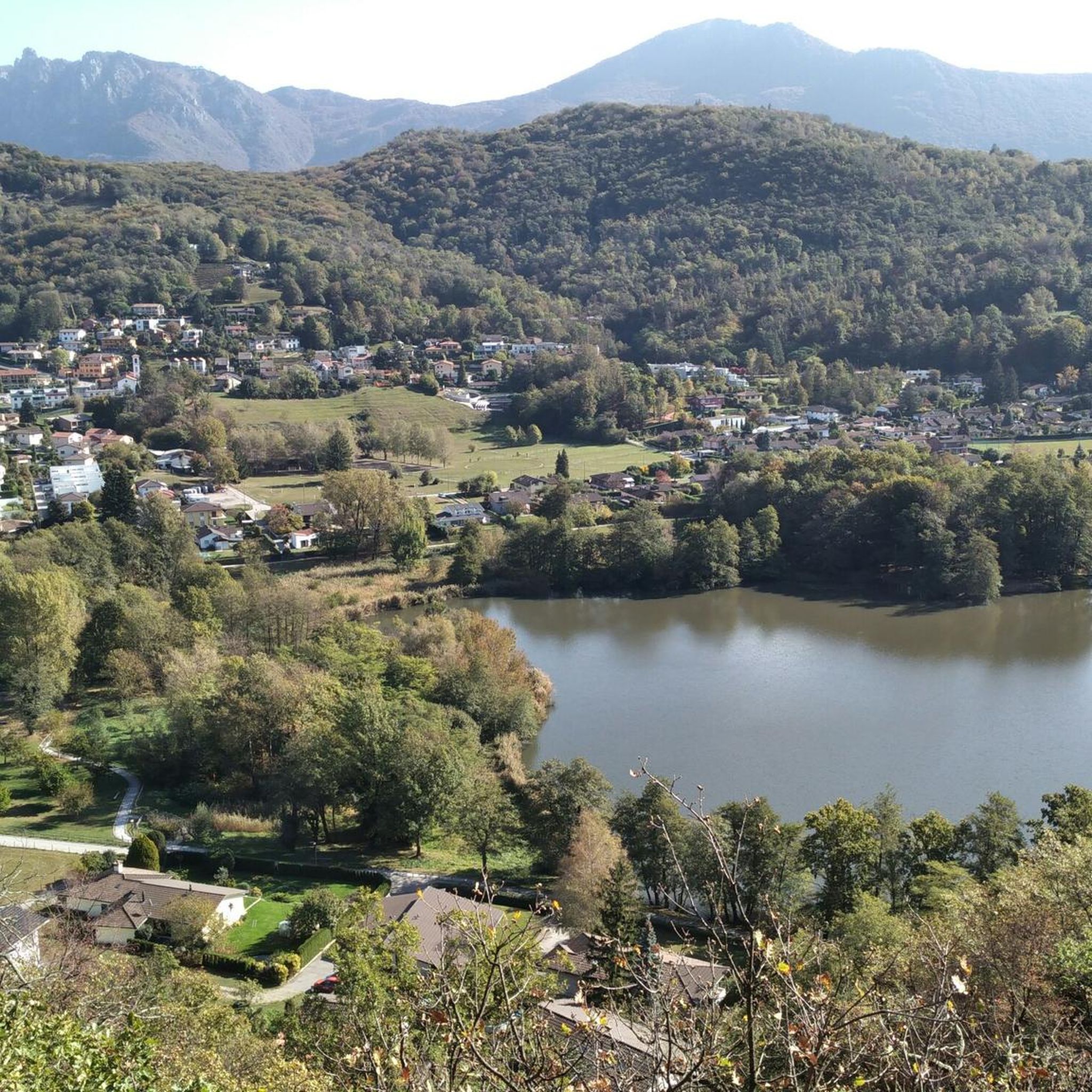
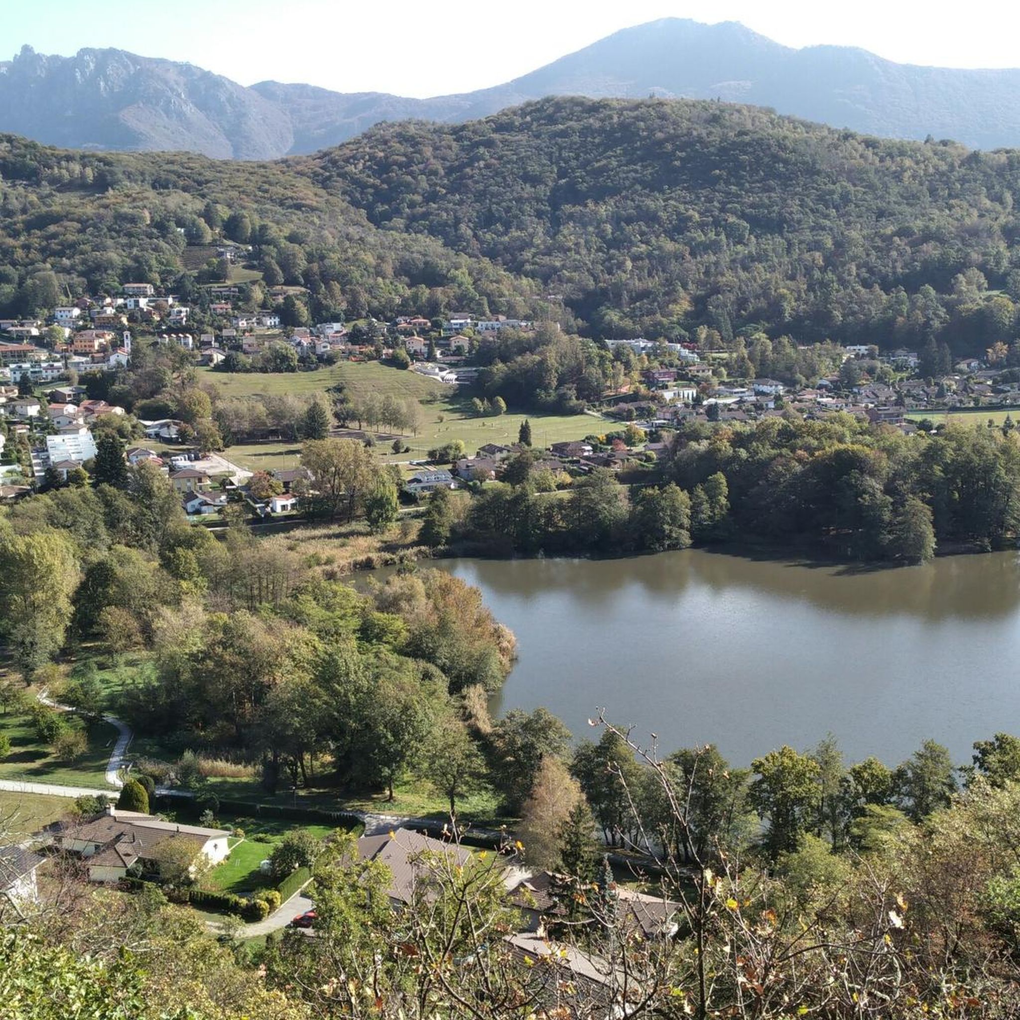
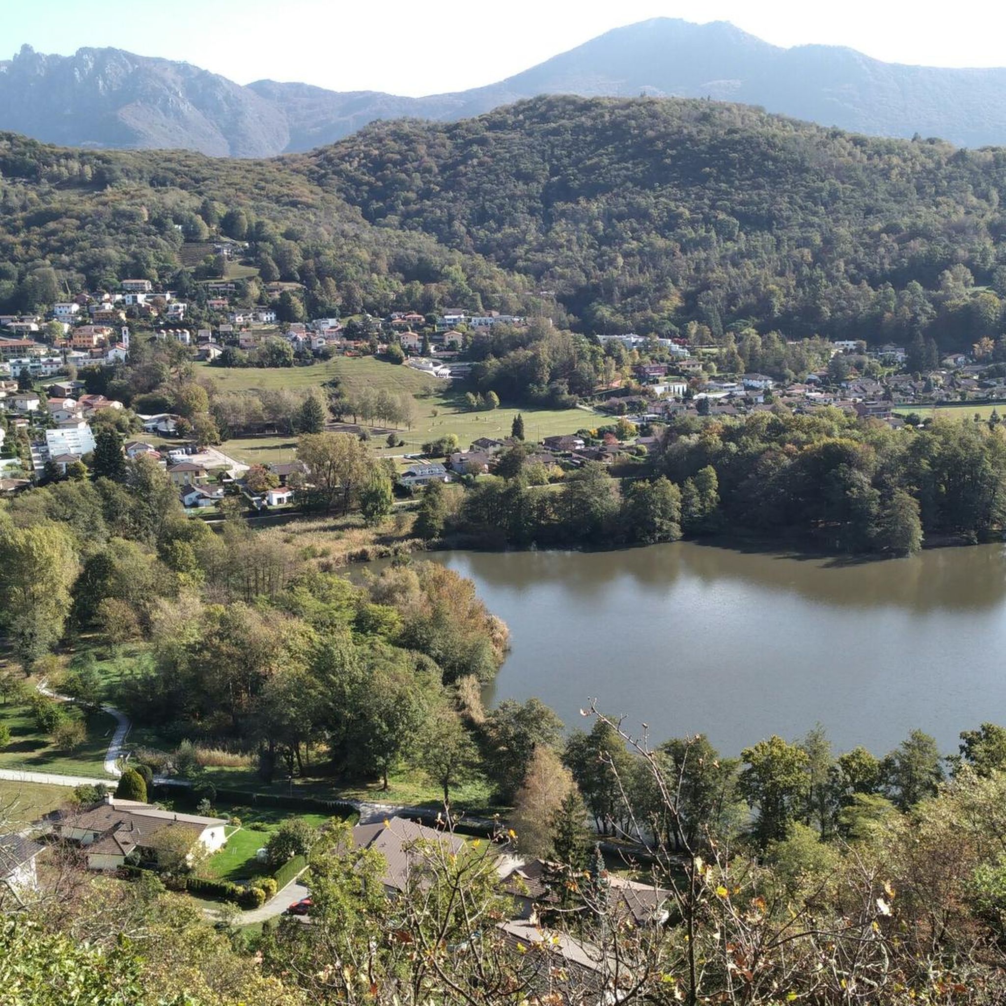
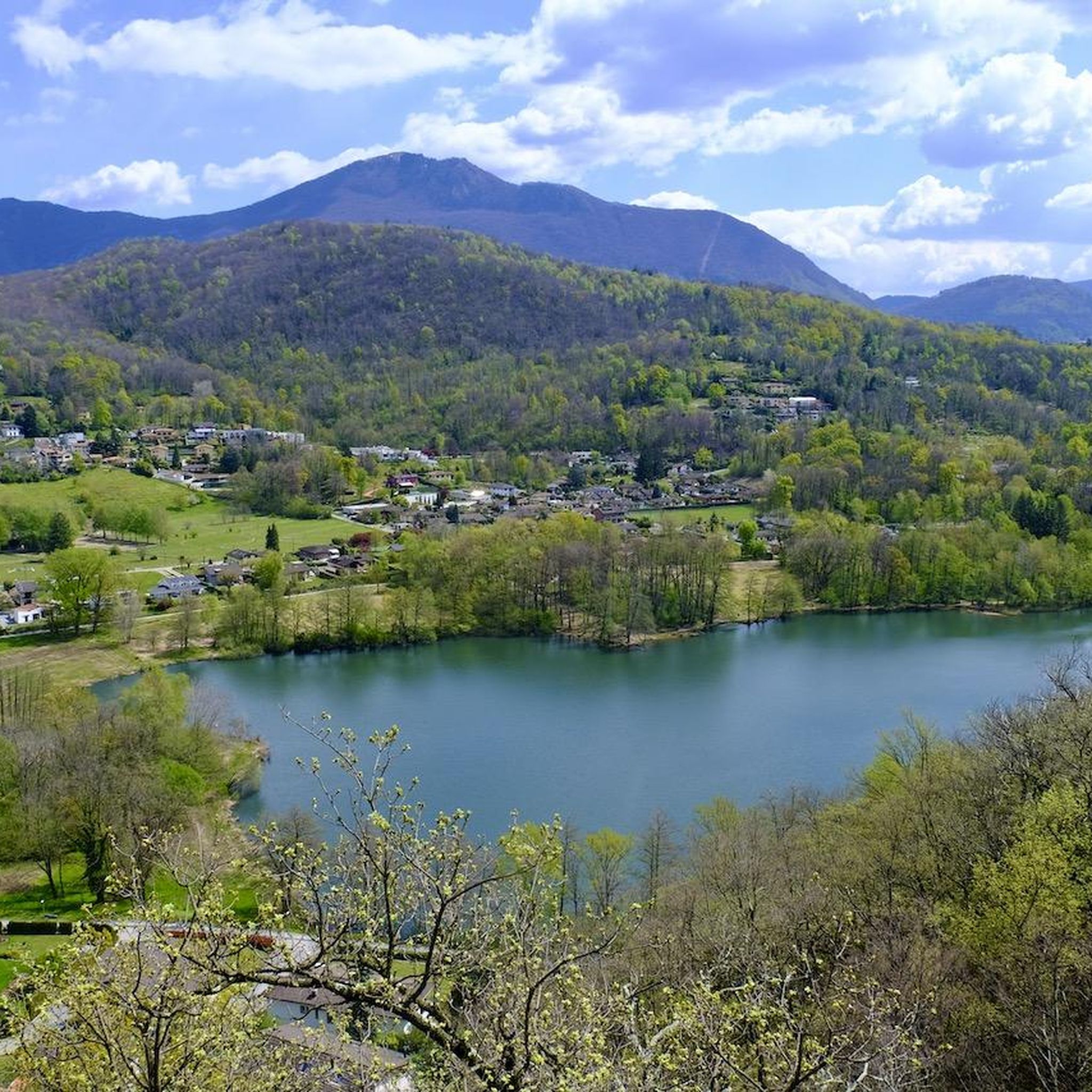

Tips from the Community

It looks incredibly beautiful, but it's incredibly difficult to brake down on a bike... They're the same ones that keep flying around you and bothering you, since there are cows grazing nearby... The skill level for this road is VERY HIGH. No joke.
0
0

The car lane is fast but the bike lane with yellow line marking the car lane is fantastic
1
0

So you can go all the way around. Distance about 60 km mainly flat roads. Along beautiful, typical Italian towns.
0
0

Cycle path directly on the lake with great views
0
0
I also saw the turtles at that spot.
0
0
Great cycle path that runs directly along the lake.
0
0
Beautiful cycle path directly along the lake.
0
0
Frequently Asked Questions
Are there easy touring cycling routes around Origlio?
Yes, while the region is known for its challenging terrain, there are still options for less experienced touring cyclists. Out of 150 routes, 12 are classified as easy. These routes typically feature gentler gradients and shorter distances, allowing for a more relaxed experience.
What kind of challenges can I expect on advanced touring cycling routes in Origlio?
Origlio's landscape is characterized by significant elevation changes, including hills and mountain passes. Advanced routes, such as the Malcantone Loop, often involve substantial ascents and descents, requiring good physical condition and experience with varied terrain. There are 89 difficult routes available for those seeking a demanding ride.
Can I find circular touring cycling routes in Origlio?
Many touring cycling routes in the Origlio area are designed as loops, offering a convenient way to explore without needing to retrace your steps. Examples include On the heights of Arosio, Breno and Novaggio − loop tour and The Castles of Bellinzona – Old Town of Bellinzona loop from Lamone-Cadempino.
What natural sights or landmarks can I see while touring cycling in Origlio?
The region offers diverse attractions. You can enjoy stunning views from places like Monte San Salvatore, explore charming settlements such as Gandria Village on Lake Lugano, or visit natural reserves like Agra Pond Nature Reserve. Many routes also pass by picturesque lakes and historical towns.
Are there places to stop for refreshments or food along the touring cycling routes?
Yes, many routes connect villages and towns where you can find cafes, restaurants, and shops. The extensive network of paths often leads through populated areas, making it easy to plan stops for refreshments or meals. Consider routes that pass through larger towns like those on the Ponte vecchio di Camorino – Monte Ceneri Pass loop from Taverne-Torricella for more options.
When is the best time of year for touring cycling in Origlio?
The spring and autumn months (April-May and September-October) generally offer the most pleasant conditions for touring cycling in Origlio, with milder temperatures and less crowded trails. Summer can be warm, especially in the valleys, but higher elevation routes provide cooler air. Winter can be challenging due to snow and ice on higher passes.
How long do touring cycling routes in Origlio typically take?
Route durations vary significantly based on distance, elevation, and your pace. For example, the On the heights of Arosio, Breno and Novaggio − loop tour takes about 2 hours 35 minutes, while the longer Morcote Village – Lake Lugano loop from Lamone-Cadempino can take over 5 hours. You'll find routes ranging from a couple of hours to full-day excursions.
What do other touring cyclists enjoy the most about touring cycling in Origlio?
The area is highly rated by the komoot community, with an average score of 4.3 stars from over 1100 reviews. Reviewers often praise the diverse scenery, the challenging ascents, and the rewarding views from elevated areas. The well-maintained network of paths connecting villages and natural features is also frequently highlighted.
Are there any less crowded touring cycling routes or hidden gems in the Origlio area?
To find less crowded routes, consider exploring some of the moderate difficulty trails that might not be as well-known as the main loops. While specific 'hidden gems' are subjective, venturing slightly off the most popular paths, especially during weekdays or outside peak season, can lead to quieter, equally scenic experiences. The region's extensive network means there's always something new to discover.
What should I wear for touring cycling in Origlio's varied terrain?
Given the significant elevation changes and potential for varied weather, layering is key. We recommend moisture-wicking base layers, a cycling jersey, and a windproof/water-resistant jacket. Padded shorts are essential for comfort on longer rides. Don't forget a helmet, gloves, and appropriate footwear. Always check the weather forecast before heading out, especially if planning to tackle higher passes.
Can I combine touring cycling with other outdoor activities in the Origlio region?
Absolutely. The region around Origlio offers opportunities to combine cycling with hiking, especially in areas like Monte Tamaro, which also features bike parks. Many routes pass by lakes, allowing for breaks to enjoy the water or explore charming lakeside villages.
Are there any specific safety considerations for touring cycling in Origlio?
Due to the mountainous terrain, be prepared for challenging climbs and descents. Ensure your bike is in good working order, especially brakes. Weather can change quickly in the mountains, so carry appropriate gear. Always be visible, especially on roads shared with vehicles, and respect local traffic laws. It's advisable to carry a map or GPS device, as some paths may be less signposted.
Most popular routes around Origlio
Most popular attractions around Origlio

Get inspired with the komoot mobile app


Explore more
Browse the best Cycling routes in other regions.
