The best road cycling routes around Ofterdingen
4.5
(1377)
18,239
riders
216
rides
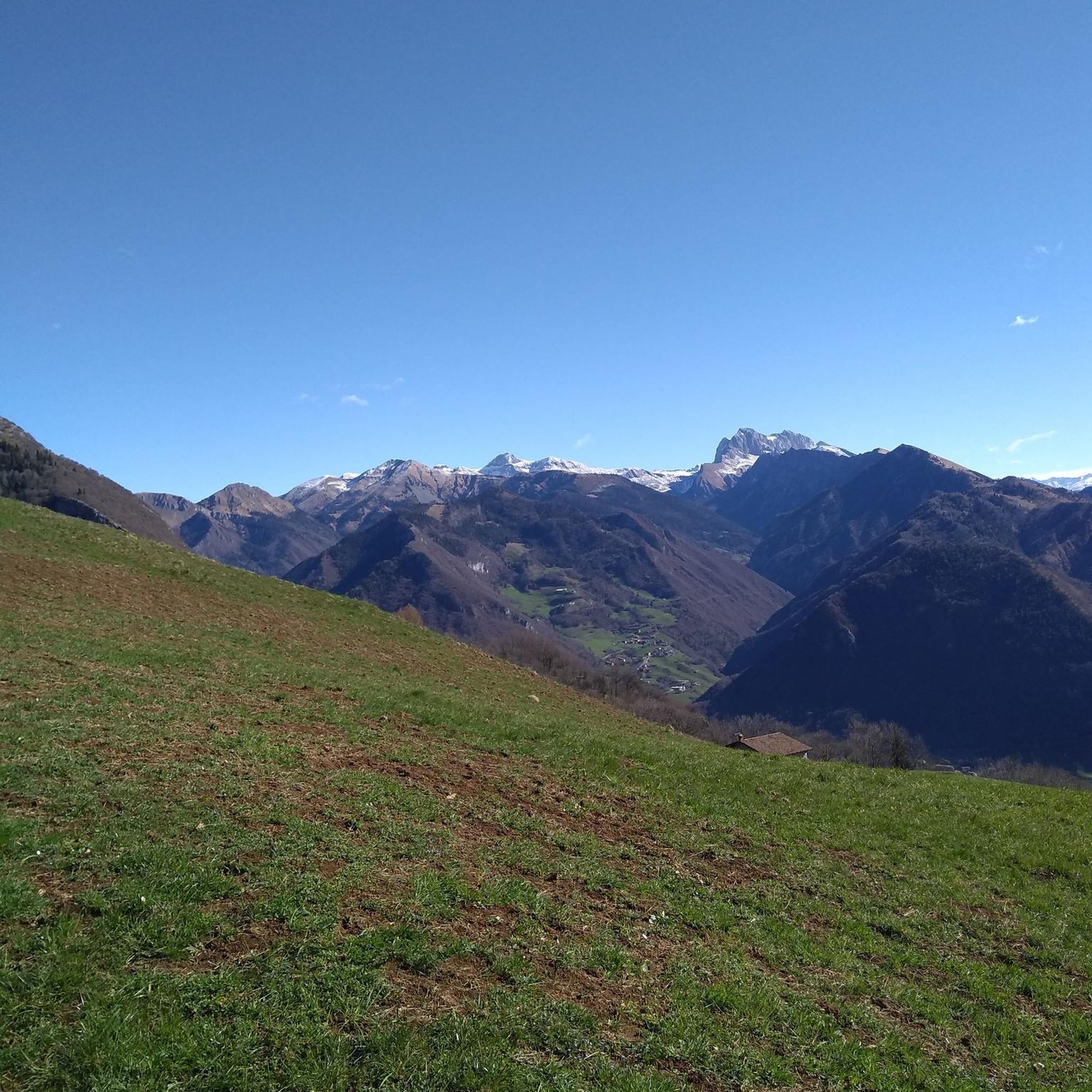
Road cycling routes around Ofterdingen traverse a landscape characterized by green meadows, dense forests, and gentle hills. The region, situated near the Swabian Alb, offers varied terrain suitable for road cyclists. Routes often follow classic country roads and pass through river valleys like the Steinlach and Neckar. The area provides a mix of flat sections and moderate ascents.
Best road cycling routes around Ofterdingen
- The most popular road cycling route is Talheimer Straße Scenic Road – Rossberg Viewpoint loop from…
Last updated: August 15, 2026
4.8
(5)
96
riders
48.6km
02:26
760m
760m
Moderate road ride. Good fitness required. Mostly well-paved surfaces and easy to ride.
5.0
(8)
95
riders
84.9km
03:31
580m
580m
Moderate road ride. Good fitness required. Mostly well-paved surfaces and easy to ride.

Sign up for free
4.5
(15)
141
riders
34.0km
01:27
270m
270m
Easy road ride. Great for any fitness level. Mostly well-paved surfaces and easy to ride.
4.9
(15)
96
riders
30.6km
01:20
290m
290m
Easy road ride. Great for any fitness level. Mostly well-paved surfaces and easy to ride.
15
riders
69.5km
03:29
1,110m
1,110m
Hard road ride. Very good fitness required. Mostly well-paved surfaces and easy to ride.
Get access to more routes and recommendations from other explorers.
Sign up for free
Already have an account?
Our route recommendations are based on thousands of hikes, rides, and runs completed by other people on komoot.
Start today with a free account
Your next adventure awaits.
Login or Signup
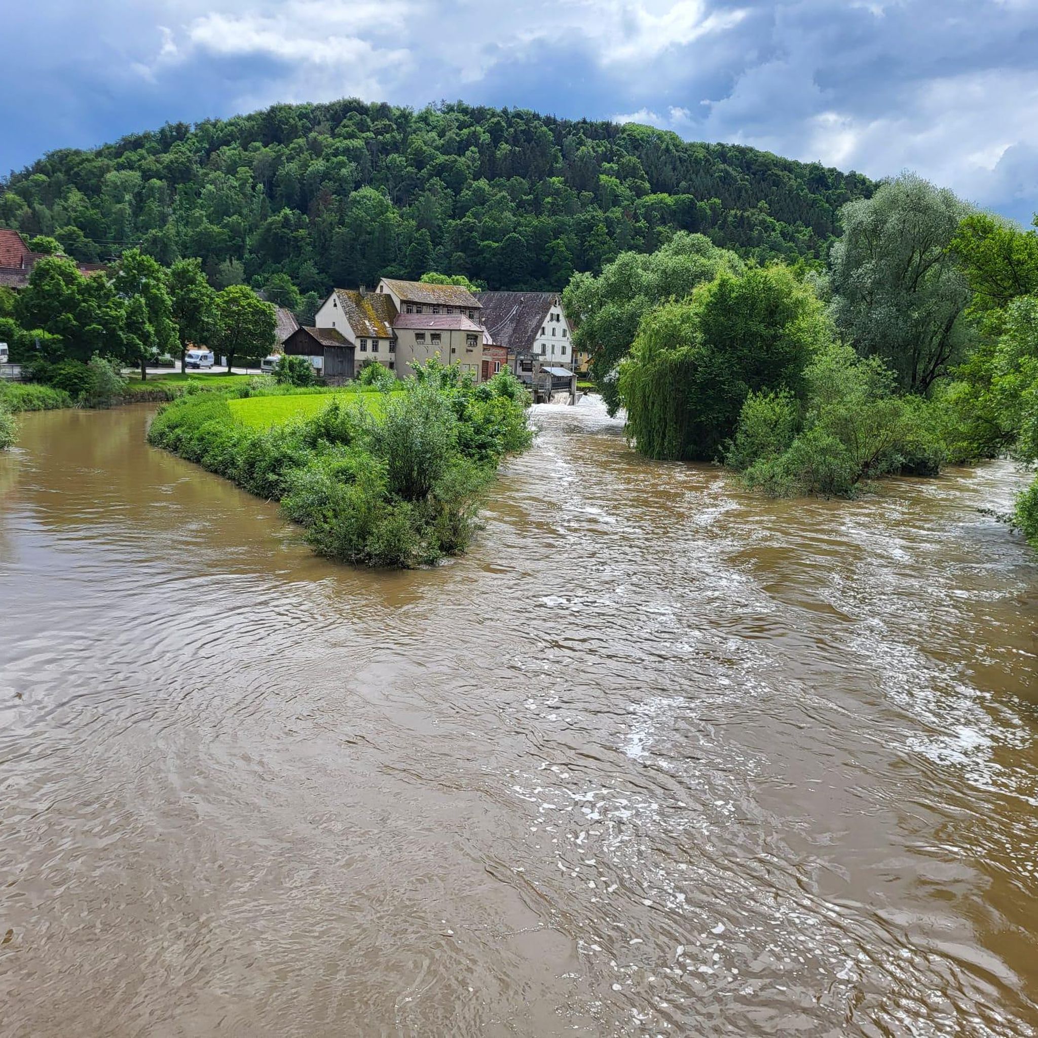
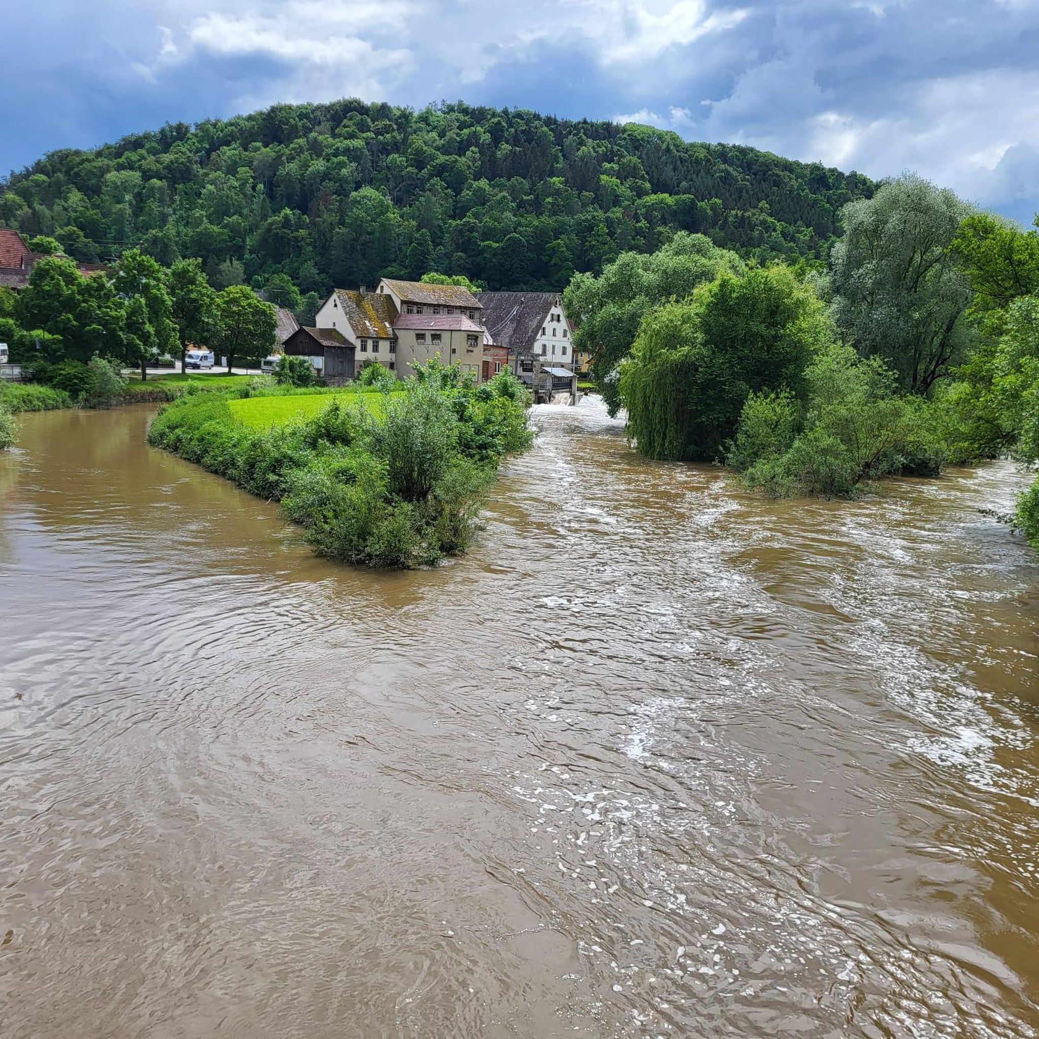
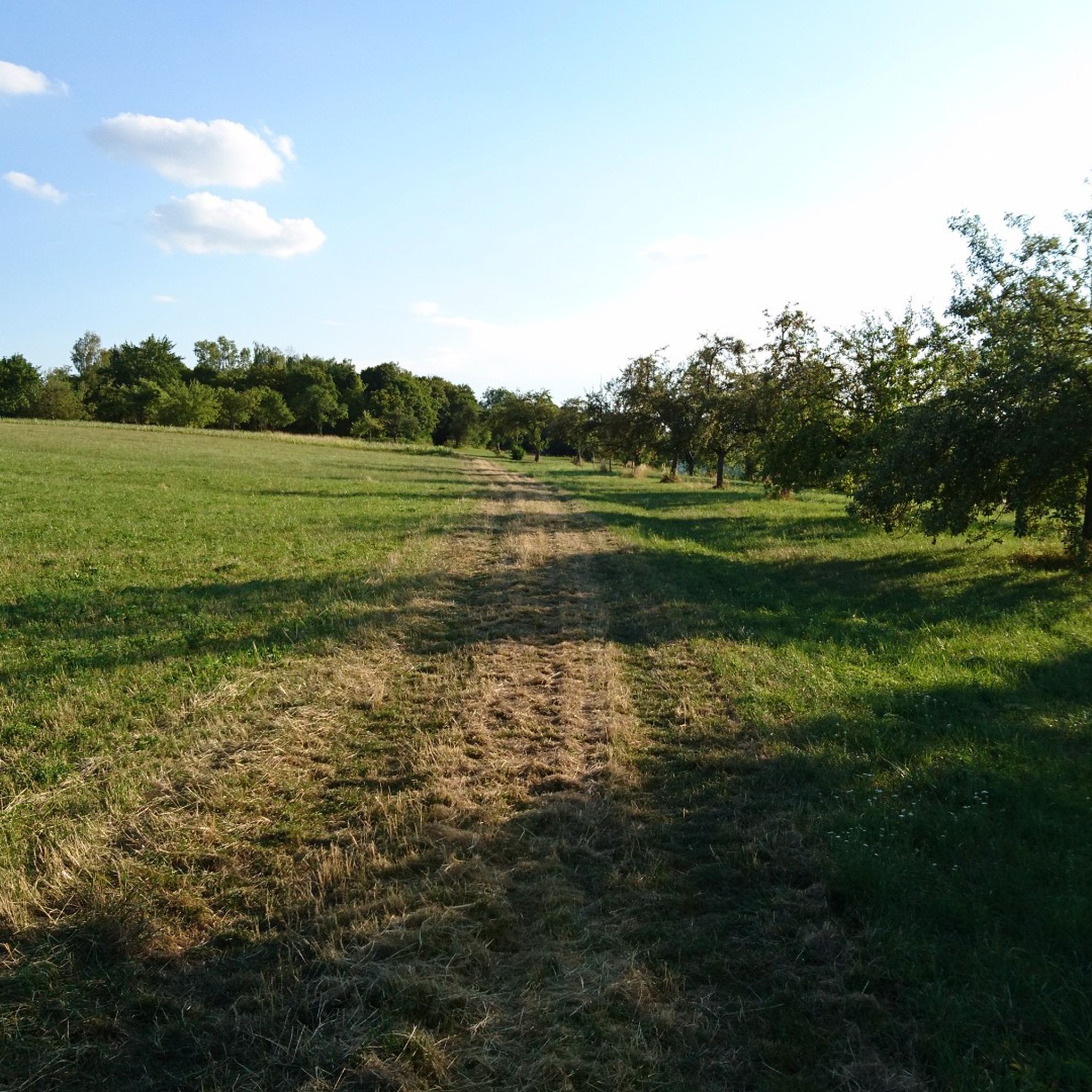
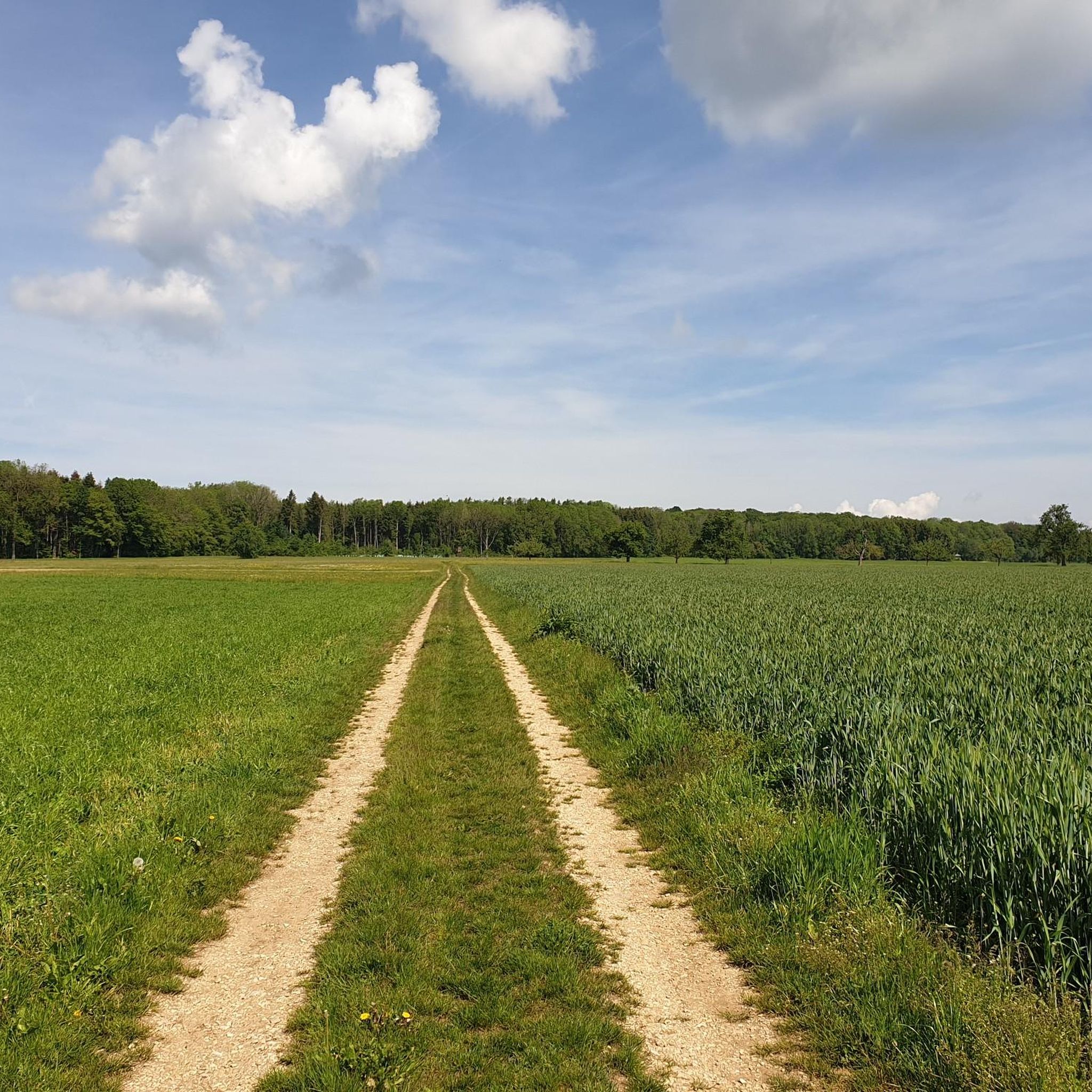
Tips from the Community

As a descent, it's already a bit demanding: steep gradient, tight corners and partly dilapidated surface with nasty bumps
0
0

The view of the Roßberg offers an impressive panorama and shows one of the most striking landmarks of the Swabian Jura.
0
0
**Advantage:** Winding, scenic route with beautiful views of the Swabian Jura. **Disadvantage:** Narrow and winding road, which is sometimes driven quite fast, especially on weekends. You should disregard the 2m rule for bicycles!
0
0
Advantage: Well-maintained, scenic road with direct access to the Nebelhöhle. Disadvantage: Some drivers drive at a brisk or sporty pace, requiring increased attention, especially at blind spots.
0
0

Beautiful section of the trail on the Swabian Jura.
0
0

Little traffic, easy to ride.
0
0

Krokodilsbank - At the shrub nature trail - At the Forestry and Training Center - Bodelshausen - Tübingen district
0
0
Beautiful view from the AP Quenstedt monument 🗿 - Roßberg 869.6 m a.s.l. ⛰ - Reutlingen-Gönningen - LKR. Reutlingen Just to enjoy 🤩👍
0
0
Frequently Asked Questions
What kind of terrain can I expect on road cycling routes around Ofterdingen?
Road cycling routes around Ofterdingen feature a diverse landscape of green meadows, dense forests, and gentle hills. You'll primarily ride on classic country roads, with some routes incorporating short forest paths. The terrain offers a mix of flat sections, especially along river valleys like the Steinlach and Neckar, and moderate ascents as you approach the Swabian Alb.
How many road cycling routes are available in the Ofterdingen area?
There are over 200 road cycling routes available around Ofterdingen, catering to various preferences and skill levels. This extensive network ensures plenty of options for exploration.
Are there routes suitable for beginners or those looking for an easier ride?
Yes, Ofterdingen offers routes suitable for beginners. For an easier ride, consider the Starzelufer – Hohenzollern View loop from Ofterdingen, which is 33.9 km long and leads through pleasant riverside areas with moderate elevation gain. There are 55 easy routes in total.
What are some notable natural features or viewpoints I can see while cycling?
The region offers several natural highlights. You can enjoy views towards the Rossberg on routes like the Talheimer Straße Scenic Road – View of Roßberg loop from Nehren. The area is also known for the Rammert forest and the unique "Ofterdinger Ammonitenpflaster" in the Steinlach creek bed, a geological natural monument with massive fossil ammonites.
Are there any circular road cycling routes around Ofterdingen?
Yes, many routes around Ofterdingen are designed as loops. For example, the Bühl–Kilchberg Cycle Path – Neckar Cycle Path loop from Mössingen offers a moderate 84.8 km circular path incorporating established cycle paths along the Neckar River.
What historical or cultural attractions can I visit along the routes?
Beyond natural beauty, you can incorporate cultural stops. The region is close to Rottenburg am Neckar, which has a picturesque old town, a cathedral, and a market square. Nearby historical sites include Hohenzollern Castle, Schloss Lichtenstein, and Bebenhausen Monastery, offering historical insights and stunning views.
What is the best time of year for road cycling in Ofterdingen?
Spring and autumn are particularly beautiful seasons for road cycling in Ofterdingen, with nature in full bloom and pleasant temperatures. The varied scenery, from river valleys to hilly sections, is enjoyable throughout these periods.
Are there challenging routes for experienced road cyclists?
Yes, experienced road cyclists will find challenging options. For instance, the Kalkofen Climb – Kalkofen to Nebelhöhle Road loop from Nehren is a difficult 69.5 km route with over 1100 meters of elevation gain, offering a significant test of endurance. There are 57 difficult routes in the area.
What do other cyclists say about road cycling in Ofterdingen?
The road cycling routes in Ofterdingen are highly rated by the komoot community, with an average score of 4.6 stars from over 1,100 reviews. Cyclists often praise the varied terrain, well-maintained paths, and the picturesque backdrop of green meadows and dense forests.
Are there any routes that pass by waterfalls or lakes?
While the routes themselves might not directly pass through, the region around Ofterdingen is home to several beautiful waterfalls and lakes that can be explored. Notable waterfalls include the Gönningen Waterfall and Starzel Waterfall. For lakes, you can find highlights like the Gönninger Lakes and Lake Breitenbach nearby.
Is public transport available for reaching road cycling routes in Ofterdingen?
Ofterdingen is situated in the district of Tübingen, which generally has public transport connections. While specific bike transport options on local buses or trains should be checked with regional transport providers, the area's accessibility makes it a good starting point for cycling tours.
Are there specific routes known for passing through orchards?
Yes, the 'Orchard Route' (Streuobsttour) is a scenic route that leads through the Steinlach valley, specifically passing through areas with beautiful orchards. This route offers charming views and a pleasant cycling experience.
Most popular routes around Ofterdingen
Most popular attractions around Ofterdingen

Get inspired with the komoot mobile app


Explore more
Browse the best Road cycling routes in other regions.
