Attractions and Places To See around Die Die Kühlung - Top 12
Best attractions and places to see around Die Die Kühlung, a densely wooded ridge in Mecklenburg-Vorpommern, Germany, offers a diverse range of outdoor experiences. This protected landscape features a "miniature low mountain range" character with valleys, streams, gorges, and elevated ridges, shaped by the last ice age. Situated near the Baltic Sea coast and Kühlungsborn, it provides extensive forests, primarily mixed woodlands with a high proportion of beech trees. The region is known for its unique geological formations and natural…
Last updated: August 30, 2026
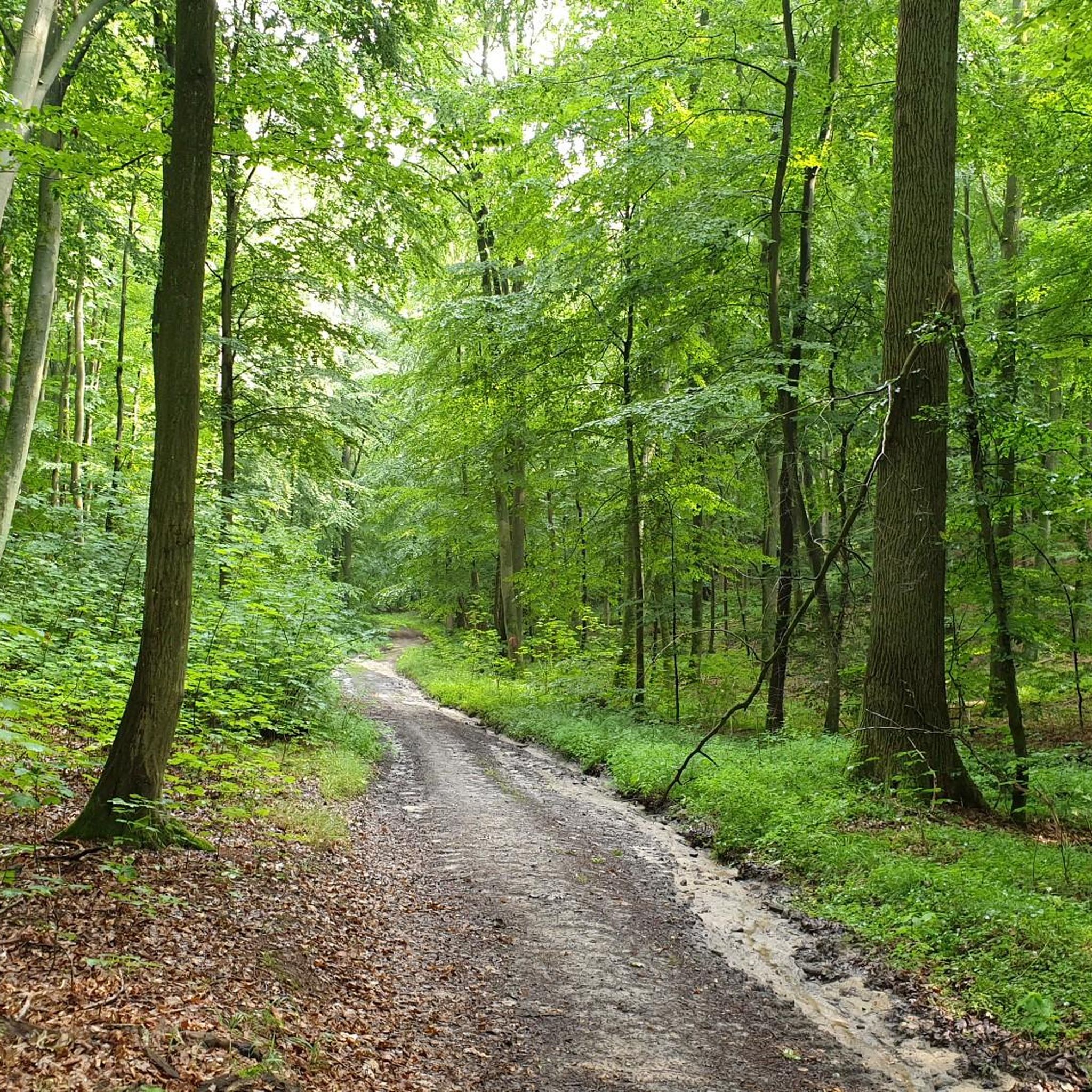
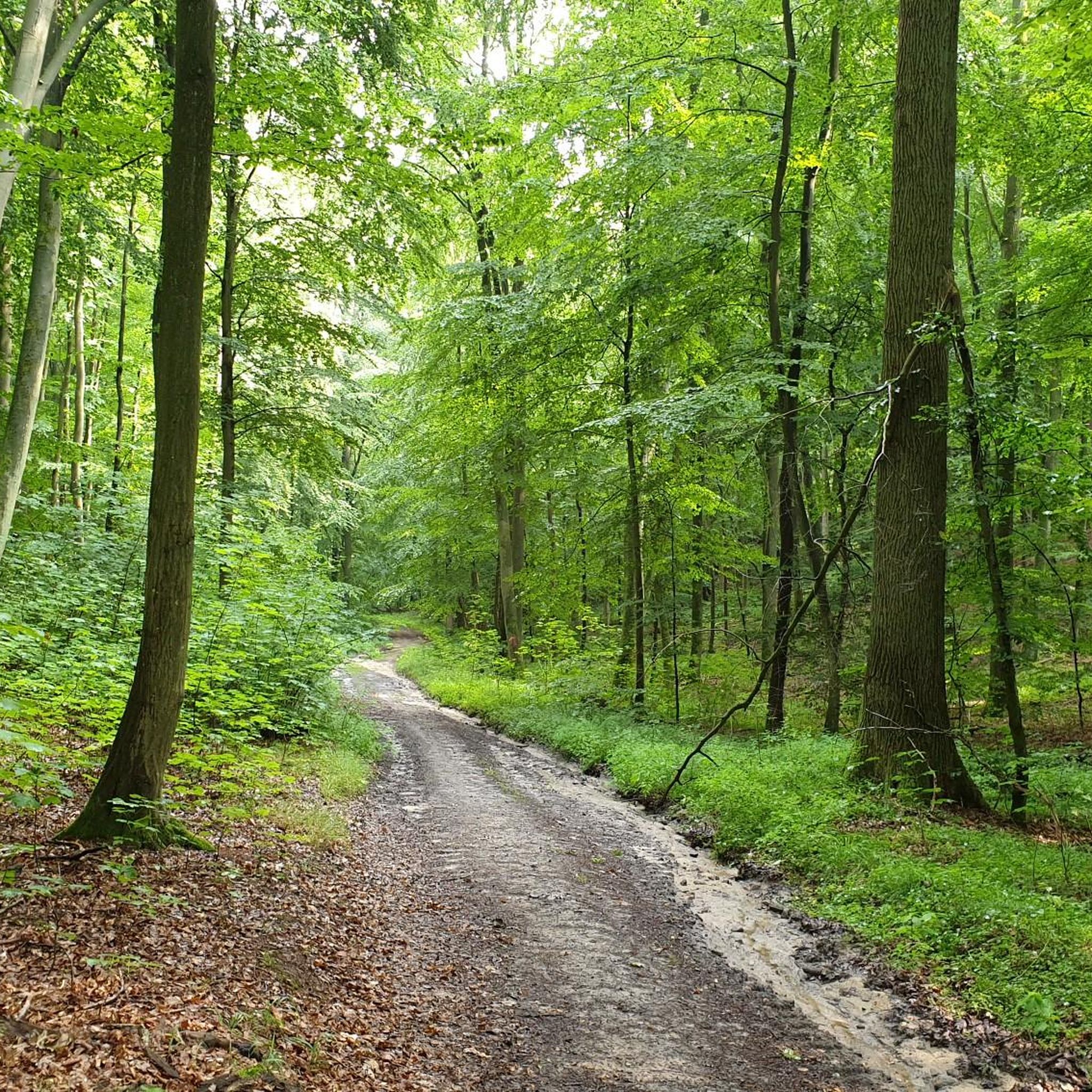
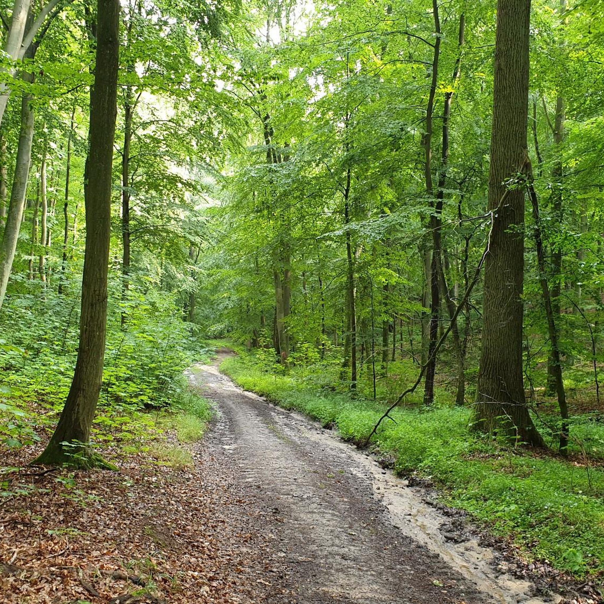
The Kühlung Ridge Forest Trails
Highlight • Forest
Translated by Google •
Tip by

Bastorf Lighthouse Trailhead Parking
Highlight • Parking
Translated by Google •
Tip by

Sign up now to discover places like this
Get recommendations on the best single tracks, peaks, & plenty of other exciting outdoor places.
Sign up for free
Wooden shelter with many benches and a fire pit
Highlight • Rest Area
Translated by Google •
Tip by

Kalkberg Forest
Highlight • Forest
Translated by Google •
Tip by
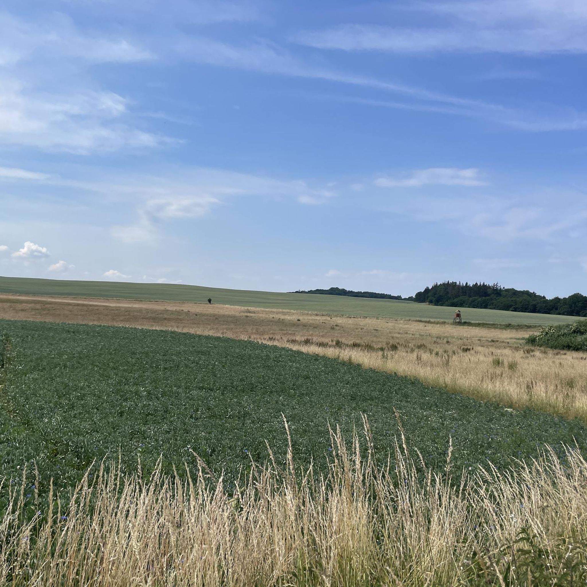
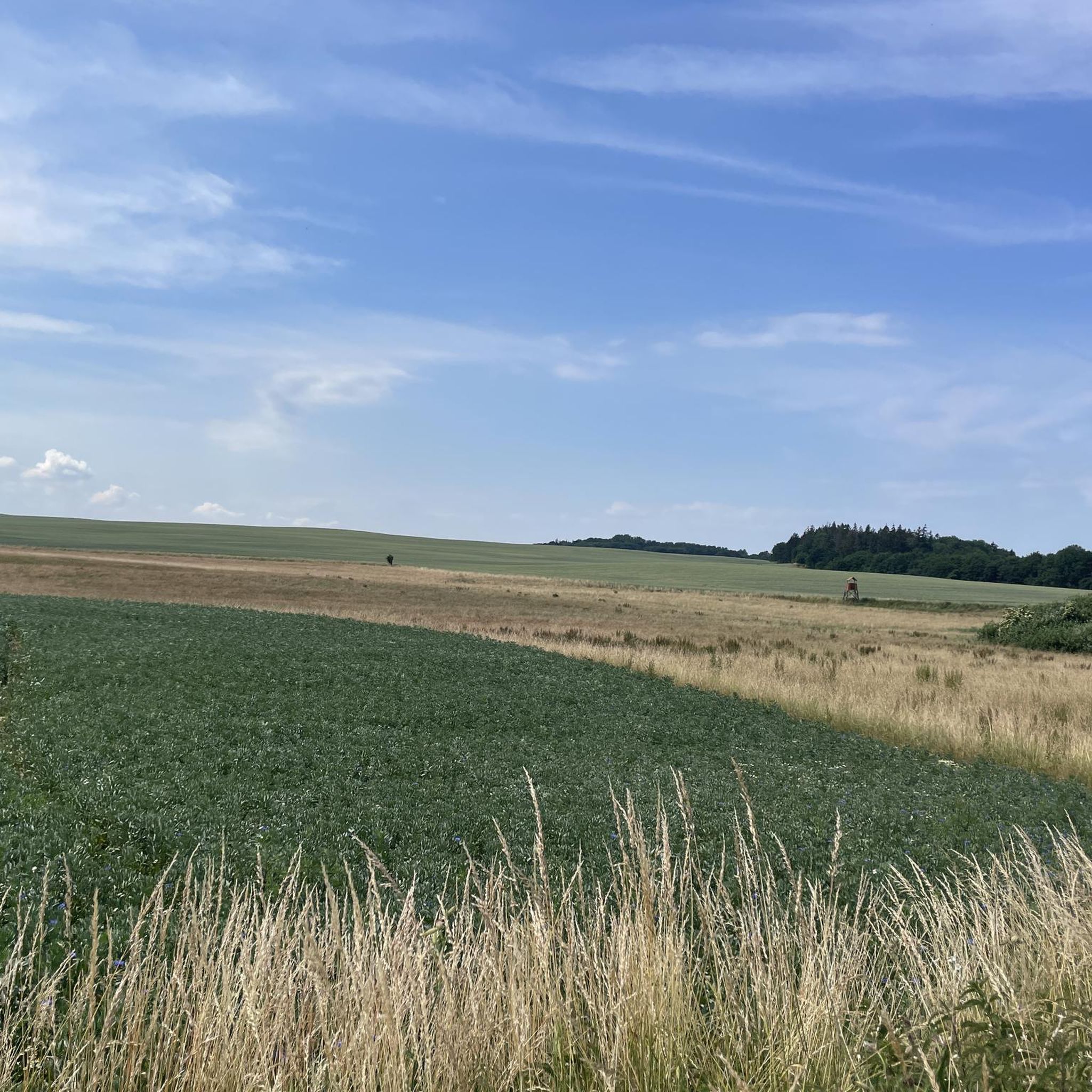
Scenic Pathway Near the Baltic Sea
Highlight • Trail
Bird watching... including wild geese.
Translated by Google •
Tip by
Sign up for free to discover even more attractions around Die Die Kühlung.
Sign up for free
Already have an account?
Start today with a free account
Your next adventure awaits.
Login or Signup
Tips from the Community

A hut for shelter (with a bench inside), many benches outside, and a fireplace invite you to rest.
0
0

☆ Always good... free parking.
3
0

There are numerous hiking trails in the wooded area of “Kühlung”. You should always have a map and/or app with you, as in my experience there is sometimes insufficient signage and marked paths are not always easy to pass. The tourist focus seems to be on the coast.
1
0

Signage for hiking trails
3
0

Good for shelter in bad weather, but very neglected and dirty
7
0
☆ Yes... there used to be benches... and please keep them clean, that's clear. But then why is there a big pile of wood in front of the shelter 🤔
7
0
☆This route guidance section is just great. I can recommend with a clear conscience... just do it... 👍 Bird watching... including wild geese.
12
0

Unfortunately hardly passable by bike.
0
0
Frequently Asked Questions
What kind of natural features can I explore in Die Kühlung?
Die Kühlung is characterized by its extensive forests, primarily mixed woodlands with a high proportion of beech trees, and a unique "miniature low mountain range" character. You'll find valleys, streams, gorges, and elevated ridges. Notable natural features include the The Kühlung Ridge Forest Trails, the highest point at Diedrichshagener Berg, and the distinctive "Kuhlen" (natural pits) that give the region its name.
Are there good hiking opportunities in Die Kühlung?
Yes, Die Kühlung offers numerous hiking trails through its wooded areas. The region is known for its varied paths, including the "Seagull Path" and "Panorama Path" within The Kühlung Ridge Forest Trails. The geological formation with narrow valleys and steep ascents makes for an engaging hiking experience. For more detailed routes, you can explore the Running Trails around Die Die Kühlung guide, which also includes walking paths.
What cycling routes are available in Die Kühlung?
Die Kühlung is an ideal spot for cycling excursions, with a variety of paths catering to different preferences. You can find routes for both casual cycling and more active mountain biking. For specific cycling tours, check out the Cycling around Die Die Kühlung guide or the Gravel biking around Die Die Kühlung guide for more challenging options.
Where can I find the best panoramic views in Die Kühlung?
For breathtaking panoramic views, head to Diedrichshagener Berg, which at 127 meters is the highest elevation in the Kühlung. Another excellent spot is the Bastorf Lighthouse area, offering views towards Kühlungsborn and the surrounding coast.
Are there family-friendly activities or trails in Die Kühlung?
Many areas within Die Kühlung are suitable for families. The varied paths of the forested ridge are great for walks with children. Highlights like the Bastorf Lighthouse Trailhead Parking and Diedrichshagener Berg are noted as family-friendly. Look for trails marked as easy or moderate for a comfortable family outing.
What is the historical significance of Die Kühlung?
Die Kühlung holds historical importance as a former border region during the German division. It serves as a place of remembrance of German history, adding a cultural layer to its natural beauty.
Where can I park when visiting attractions in Die Kühlung?
A convenient parking option is the Bastorf Lighthouse Trailhead Parking. It is free and provides signage for nearby hiking trails. When exploring other areas, it's advisable to check local signage for designated parking spots near trailheads.
What is the terrain like in Die Kühlung?
The terrain in Die Kühlung is characterized by a hilly landscape with narrow valleys and steep ascents, resembling a miniaturized low mountain range. It's not flat, so expect some elevation changes, making it engaging for hikers and cyclists. The region is densely wooded, primarily with mixed forests.
What do visitors enjoy most about Die Kühlung?
Visitors appreciate the diverse range of paths for hiking, jogging, and cycling through the extensive forests. The unique geological formations, panoramic views from spots like Diedrichshagener Berg, and the overall natural beauty of this protected landscape are highly valued. The community has contributed over 70 upvotes and 11 photos, highlighting its appeal.
Are there any facilities or shelters available on the trails?
While the focus is on natural exploration, some facilities might be found. For example, there is a Wooden shelter with many benches and a fire pit, which can offer refuge in bad weather, though its condition may vary. It's always recommended to be prepared for outdoor conditions.
What is the Kalkberg Forest like?
The Kalkberg Forest is part of the wooded area of Die Kühlung. It offers numerous hiking trails, but visitors note that signage can sometimes be insufficient, and some paths may be overgrown. It's recommended to carry a map or use a navigation app when exploring this area.
Most popular routes around Die Die Kühlung

Get inspired with the komoot mobile app


Explore more
Still not found the Highlight you’re looking for? See guides of the top attractions in other regions:
