The best walks and hikes around Oberwölz
4.6
(463)
2,726
hikers
64
hikes
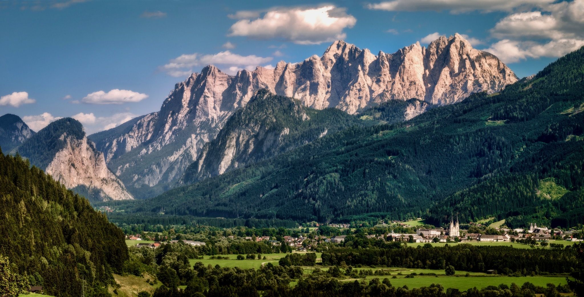
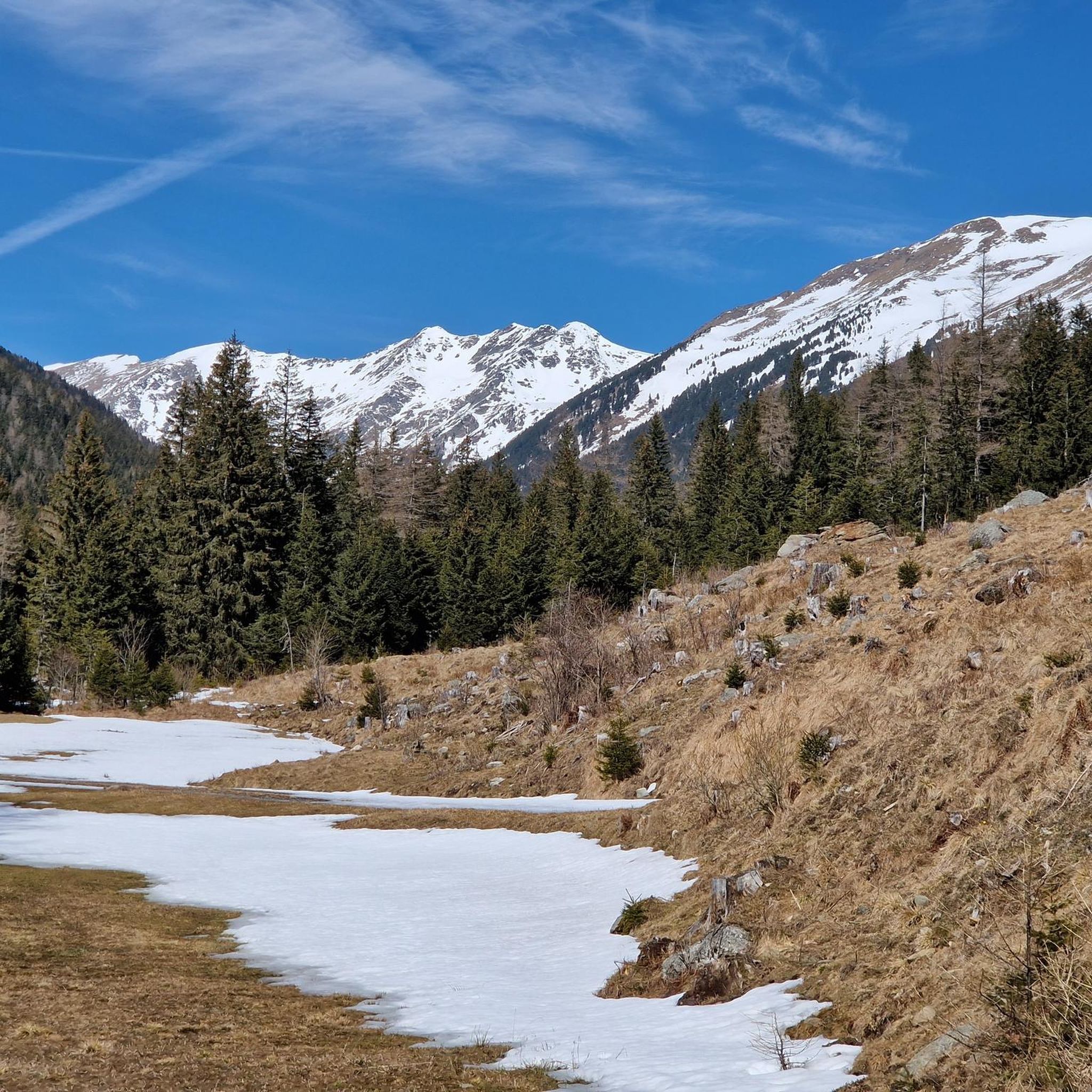
Hiking around Oberwölz offers diverse trails within a picturesque mountain landscape, characterized by the Wölzer Tauern mountains. The region features a mix of alpine terrain, dense forests, and open meadows, providing varied conditions for hikers. Elevations range from gentle valley paths to challenging mountain summits, with numerous natural features to explore.
Best hiking trails around Oberwölz
- The most popular hiking route is Trail No. 927 Waterfalls – Talkenschrein Summit loop from Neunkirchner Hütte, a 5.4 miles (8.7 km) trail…
Last updated: September 29, 2026
4.8
(44)
292
hikers
Moderate hike. Good fitness required. Mostly accessible paths. Sure-footedness required.
4.7
(39)
224
hikers
17.6km
05:44
800m
800m
Hard hike. Very good fitness required. Easily-accessible paths. Suitable for all skill levels.

4.5
(26)
150
hikers
11.0km
03:49
630m
630m
Moderate hike. Good fitness required. Easily-accessible paths. Suitable for all skill levels.
4.7
(30)
159
hikers
5.22km
01:35
190m
190m
Easy hike. Great for any fitness level. Easily-accessible paths. Suitable for all skill levels.
4.8
(26)
172
hikers
9.89km
03:01
330m
340m
Moderate hike. Good fitness required. Easily-accessible paths. Suitable for all skill levels.
Get access to more routes and recommendations from other explorers.
Already have an account?
Our route recommendations are based on thousands of hikes, rides, and runs completed by other people on komoot.
Start today with a free account
Your next adventure awaits.



Tips from the Community

Stand 2026 Opening hours: Mid-May to mid-October From 09:00 to 19:30 No day of rest Parking is free Tel.: +43 664 4400195 Very good food and friendly staff.
0
0


Learning board of various mountain animals
0
0

Coffee machine right next to a great little shop. Another 24-hour machine with useful things in front of the shop.
0
0

From the Rossalm saddle you can ride along the ridge path up to the Schießeck summit cross
0
0

Nice little waterfall... it really relaxes you after a round... and is always great for refreshing yourself!
8
0
Located right on the side of the path… food and drink are provided…😏
7
0
Frequently Asked Questions
How many hiking trails are available around Oberwölz?
There are over 60 hiking routes around Oberwölz, offering a diverse range of experiences from easy strolls to challenging mountain ascents. The komoot community has explored these trails over 2,500 times, providing valuable insights.
Are there easy hiking trails suitable for beginners in Oberwölz?
Yes, Oberwölz offers several easy trails perfect for beginners or those seeking a relaxed walk. An example is the Dragon Watermill – Lachtal Chapel loop from Lachtal, which is 3.7 miles (6.0 km) long and takes about 1 hour 50 minutes, leading through pleasant forest paths.
What are some good options for long day hikes in the Oberwölz area?
For a longer day hike, consider the View of Zinken – Großer Zinken Summit (2,237 m) loop from Lachtal. This challenging 10.9 miles (17.6 km) route offers expansive views from the summit and typically takes around 5 hours 44 minutes to complete.
Are there any circular hiking routes around Oberwölz?
Many trails in Oberwölz are designed as circular routes, allowing you to start and end at the same point. For instance, the Großer Zinken Summit (2,237 m) – Lachtal Chapel loop from Lachtal is a moderate 6.8 miles (11.0 km) circular hike that takes approximately 3 hours 49 minutes.
Where can I find waterfalls along the hiking trails in Oberwölz?
The region is home to beautiful waterfalls. You can explore highlights like the Günster Waterfall, Dürrmoos Waterfall, and Eselsbach Waterfall. The Trail No. 927 Waterfalls – Talkenschrein Summit loop from Neunkirchner Hütte is a popular route that incorporates waterfall views.
What are the best times of year to go hiking in Oberwölz?
The best time for hiking in Oberwölz is typically from late spring through early autumn (May to October), when the weather is mild, and the alpine meadows are in full bloom. Summer offers the warmest temperatures, while autumn provides stunning foliage. Some lower-altitude trails may also be accessible for winter hiking, but conditions can vary.
Are there any family-friendly walking routes in Oberwölz?
Yes, Oberwölz has routes suitable for families. The easier trails, often leading through forests or along gentle paths, are ideal. Look for routes with minimal elevation gain and shorter distances, such as the Dragon Watermill – Lachtal Chapel loop from Lachtal, which is relatively short and passes an interesting watermill.
What kind of scenic viewpoints can I expect on hikes around Oberwölz?
Oberwölz offers numerous scenic viewpoints, especially from its mountain summits. You can enjoy panoramic vistas of the Wölzer Tauern mountains, dense forests, and open meadows. Trails leading to peaks like Großer Zinken Summit (2,237 m) or Greim Summit provide exceptional views.
What do other hikers enjoy most about hiking in Oberwölz?
The area is highly rated by the komoot community, with an average score of 4.6 stars from over 400 reviews. Reviewers often praise the diverse mountain landscape, the mix of alpine terrain, forests, and meadows, and the variety of trails suitable for different experience levels.
Are there any challenging mountain hikes in Oberwölz for experienced hikers?
Experienced hikers will find challenging routes in Oberwölz, particularly those leading to higher summits. The View of Zinken – Großer Zinken Summit (2,237 m) loop from Lachtal is a difficult 10.9 miles (17.6 km) path with significant elevation gain, offering a rewarding challenge and expansive views.
Are there any trails that pass by interesting historical sites or landmarks?
Yes, some trails incorporate historical elements. For example, the Dragon Watermill – Lachtal Chapel loop from Lachtal passes by the Dragon Watermill. You might also find other points of interest like the Old Mill Ruins along certain routes.
What kind of terrain can I expect on hikes around Oberwölz?
Hiking around Oberwölz is characterized by mountainous terrain, alpine meadows, and dense forests. You'll encounter a mix of well-maintained paths, forest tracks, and steeper, rocky sections, especially on higher-altitude routes. Elevations vary from gentle valley paths to demanding summit ascents.
Most popular routes around Oberwölz
Most popular attractions around Oberwölz

Get inspired with the komoot mobile app


Explore more
Browse the best Hikes in other regions.
