The best walks and hikes around Oberweningen
4.6
(2488)
16,303
hikers
804
hikes
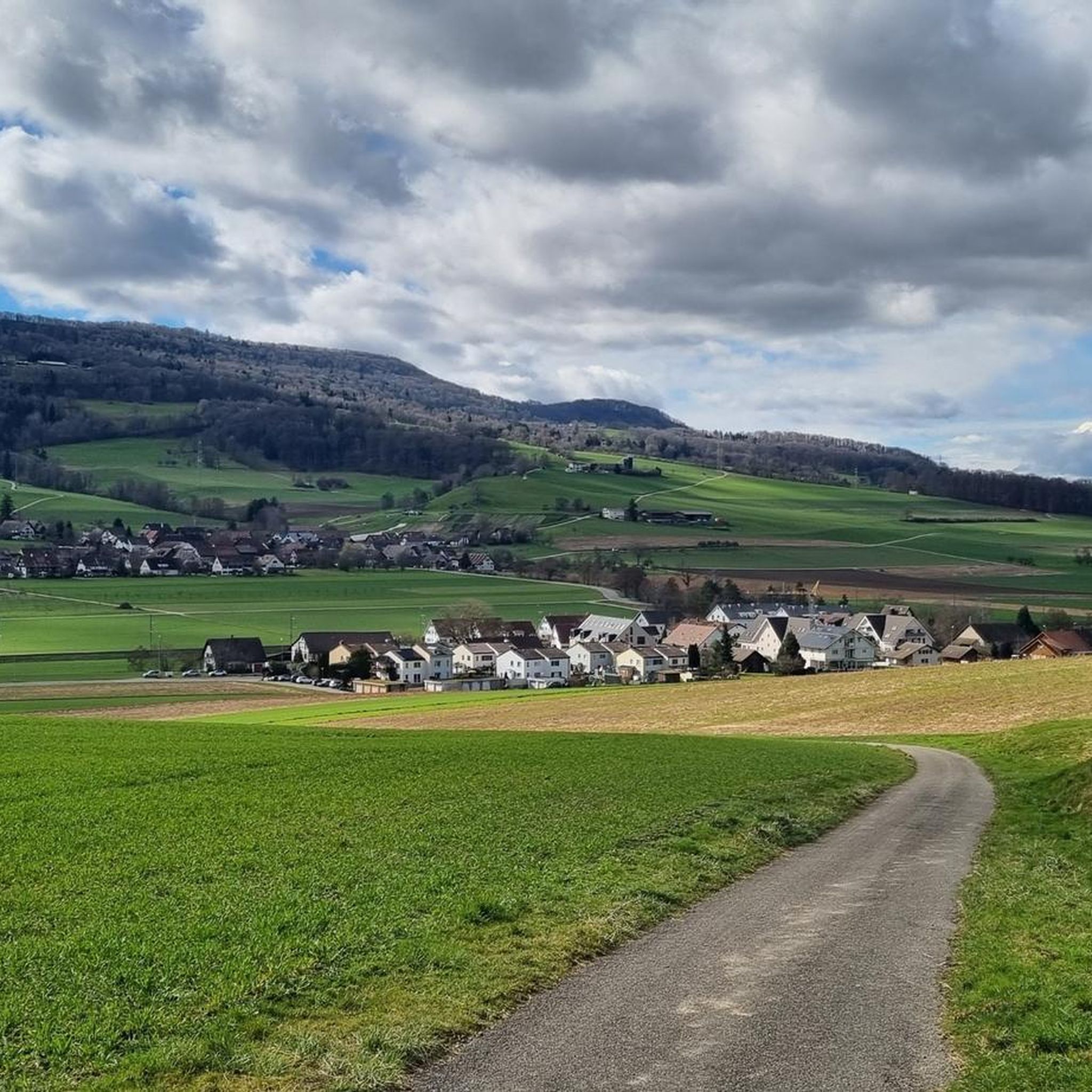
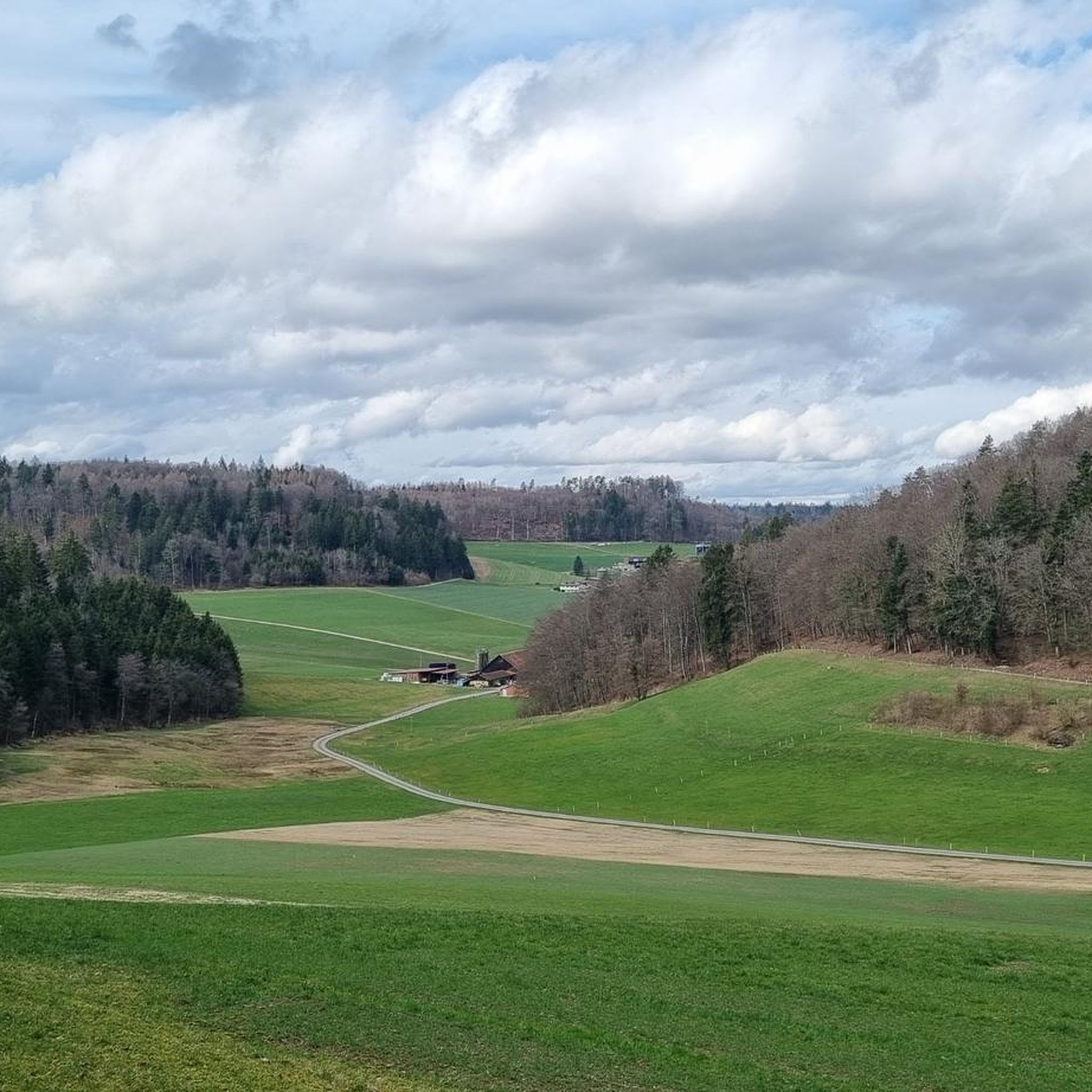
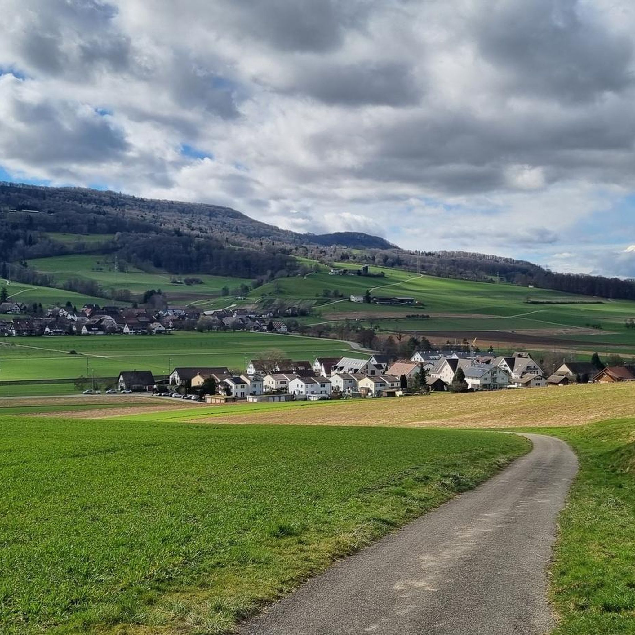
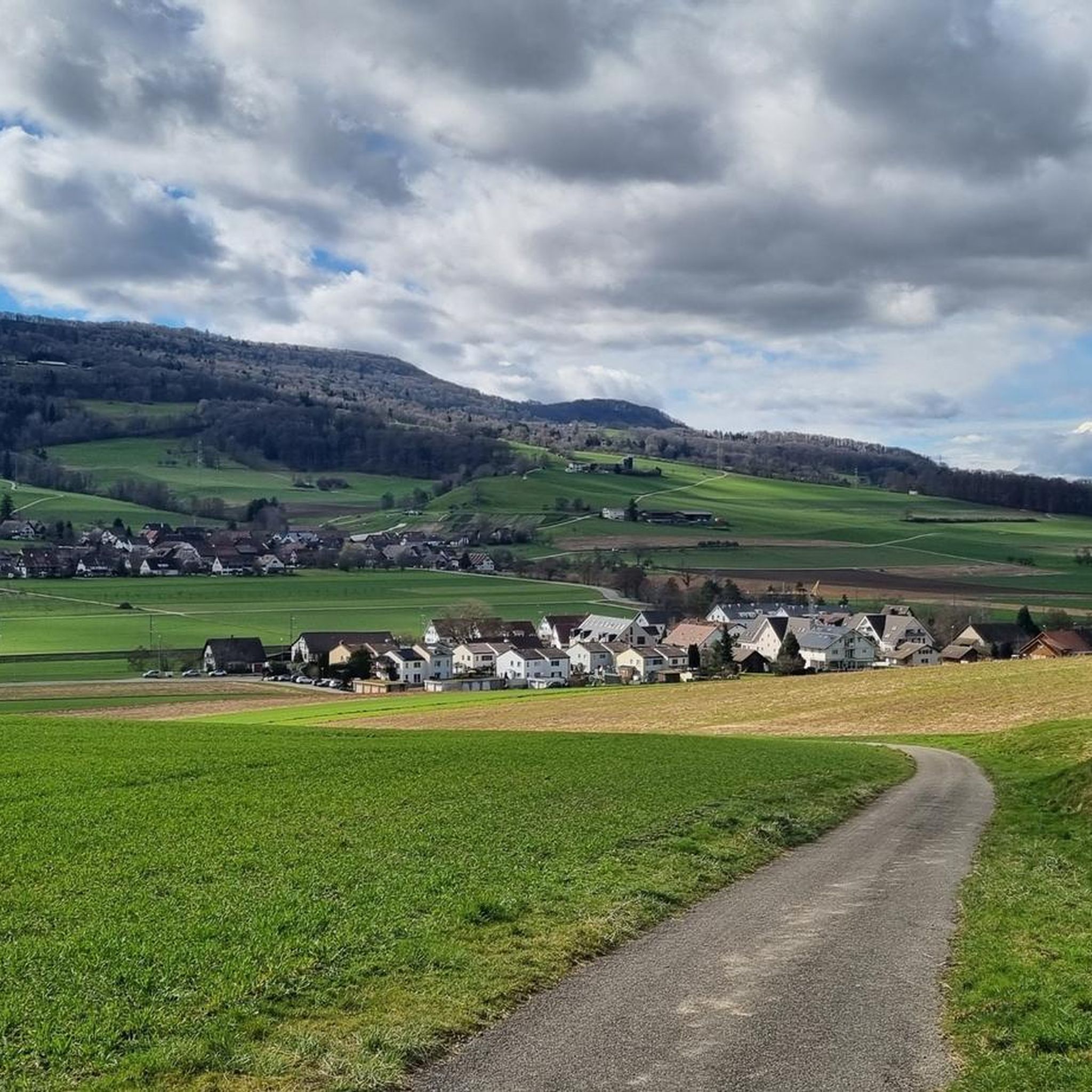
Hiking around Oberweningen offers diverse landscapes, including the prominent Lägerngrat Ridge and the scenic Wehntal Valley. The region features varied terrain, from wooded areas to open vistas, providing panoramic views over the Mittelland. Vineyards and forests characterize much of the area, offering tranquil natural settings for exploration directly from the village.
Best hiking trails around Oberweningen
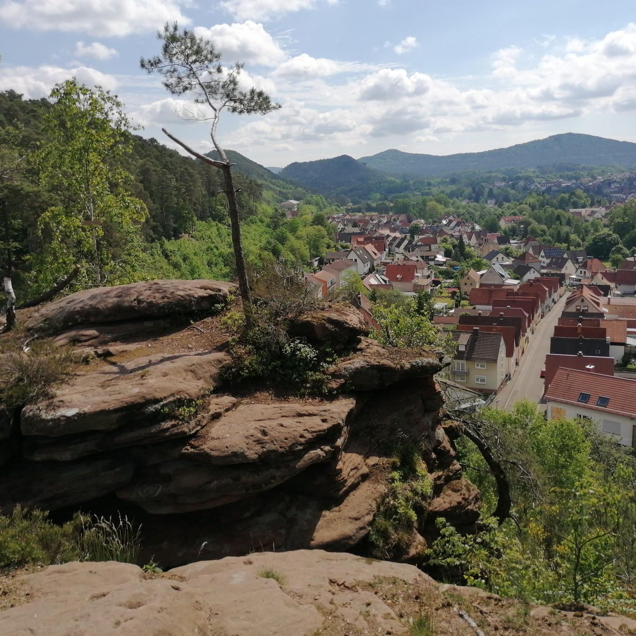
- The most popular hiking route is Steep Rocky Cliff near Zurich – View of the Valley Village loop from Oberweningen, a 3.3 miles…
Last updated: August 21, 2026
5.0
(3)
17
hikers
Easy hike. Great for any fitness level. Easily-accessible paths. Suitable for all skill levels.
5.0
(5)
15
hikers
Moderate hike. Good fitness required. Mostly accessible paths. Sure-footedness required.

Sign up for free
4.3
(6)
24
hikers
Moderate hike. Good fitness required. Mostly accessible paths. Sure-footedness required.
7
hikers
2.76km
00:51
90m
90m
Easy hike. Great for any fitness level. Easily-accessible paths. Suitable for all skill levels.
2
hikers
8.77km
02:26
160m
160m
Moderate hike. Good fitness required. Easily-accessible paths. Suitable for all skill levels.
Get access to more routes and recommendations from other explorers.
Sign up for free
Already have an account?
Our route recommendations are based on thousands of hikes, rides, and runs completed by other people on komoot.
Start today with a free account
Your next adventure awaits.
Login or Signup
Tips from the Community


This tower is a radar station (secondary radar) for air traffic control and is operated by Skyguide. It processes exclusively echoes actively emitted by flying objects. Unlike the primary radar, which also uses echoes emitted immediately beforehand.
0
0

I definitely have to go there sometime...
1
0

Opportunity to replenish water supplies.
1
0

A landmark, the new 17.5-meter-diameter sphere is made of white material and is therefore said to be more resistant to heat than its predecessor, which was green.
2
0

The radar station on the Lägern has existed since 1961 and has a range of 150 nautical miles (270 km)
2
0
Frequently Asked Questions
How many hiking trails are available around Oberweningen?
Oberweningen offers a wide selection of hiking opportunities, with nearly 830 routes available. These include over 420 easy trails, 350 moderate paths, and 54 more challenging options, catering to all fitness levels.
Are there any family-friendly hiking routes in Oberweningen?
Yes, Oberweningen has many trails suitable for families. Over 420 easy routes are available, perfect for a leisurely outing. A good option is the Steep Rocky Cliff near Zurich – View of the Valley Village loop from Oberweningen, which is an easy 5.3 km (3.3 miles) path offering pleasant views.
Can I find circular hiking routes in the Oberweningen area?
Many of the hiking trails around Oberweningen are designed as circular routes, allowing you to start and end at the same point. For example, the moderate View of the Valley Village – View of the Wehntal Valley loop from Oberweningen takes you through the scenic Wehntal Valley.
What kind of views can I expect on hikes around Oberweningen?
Hikers in Oberweningen can enjoy diverse and often panoramic views. Trails along the Lägerngrat Ridge offer expansive vistas over the Mittelland, and on clear days, you might even spot the Black Forest and the distant Alpine arc, including peaks like Eiger, Mönch, and Jungfrau. The Wehntal Valley also provides picturesque village and valley views.
Are there any waterfalls to see on hikes near Oberweningen?
Yes, the region around Oberweningen features several beautiful waterfalls. You can explore highlights such as the Steinlebach Waterfall, the Tägerbach Gorge Waterfall, and the Staircase Waterfall, among others.
What are the characteristics of the Lägerngrat Ridge Trail?
The Lägerngrat Ridge Trail is a prominent feature offering a varied and interesting hiking experience. It's a rocky path winding through wooded terrain, providing expansive views. While generally accessible, certain sections require sure-footedness due to exposed areas. A popular option is the moderate Lägerngrat Ridge Trail – View from Lägern Hochwacht loop from Schöfflisdorf-Oberweningen.
What do other hikers say about the trails in Oberweningen?
The hiking trails in Oberweningen are highly regarded by the komoot community, holding an average rating of 4.6 stars from over 2,100 reviews. Hikers frequently praise the diverse landscapes, the stunning panoramic views, and the well-maintained paths that cater to various skill levels.
Are there any places to stop for a picnic or rest along the trails?
Yes, many routes in the Oberweningen area are equipped with picnic spots. For instance, the moderate Picnic Table with Benches – View of the Valley Village loop from Oberweningen is specifically named for its amenities, offering a pleasant spot to rest and enjoy the surroundings.
What are some notable natural features to explore besides the Lägerngrat Ridge?
Beyond the Lägerngrat Ridge, the scenic Wehntal Valley is a significant natural feature, characterized by its picturesque landscapes. The area also boasts extensive forests and vineyards, providing tranquil settings for exploration directly from Oberweningen.
Are there any cultural sights or towns near Oberweningen that can be combined with a hike?
Yes, you can easily combine your hikes with visits to charming nearby towns. The romantic town of Kaiserstuhl, known for its inviting beer gardens, and Baden Old Town, with its historic wooden bridge and parish church, are both accessible and offer cultural enrichment.
What is the best time of year for hiking in Oberweningen?
The Lägerngrat Ridge is particularly popular for hiking from spring through autumn, offering clear views and pleasant temperatures. While winter hiking is possible, some sections of the ridge may require more caution due to potentially exposed conditions. Generally, the diverse trails are enjoyable throughout the warmer months.
Are there options for longer, more challenging hikes in Oberweningen?
Yes, for those seeking a greater challenge, Oberweningen offers 54 difficult routes. The Lägerngrat Ridge itself provides moderate to challenging sections that require good fitness and sure-footedness, especially on its rocky and exposed parts.
Most popular routes around Oberweningen
Most popular attractions around Oberweningen

Get inspired with the komoot mobile app


Explore more
Browse the best Hikes in other regions.
