The best road cycling routes around Oberstadt
4.7
(167)
2,887
riders
100
rides
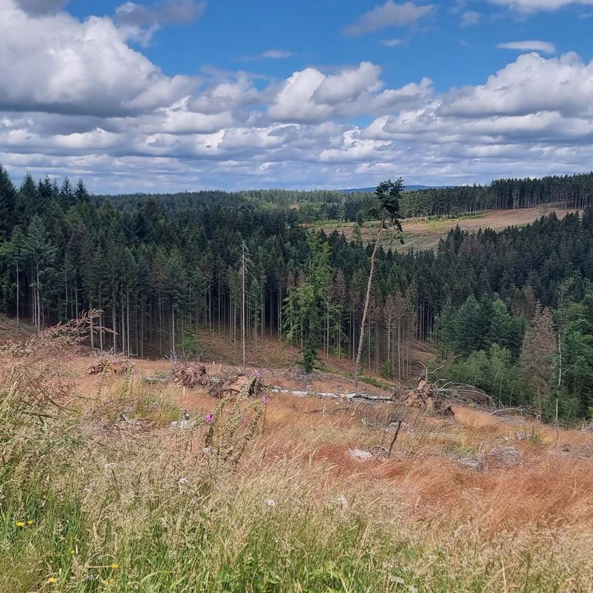
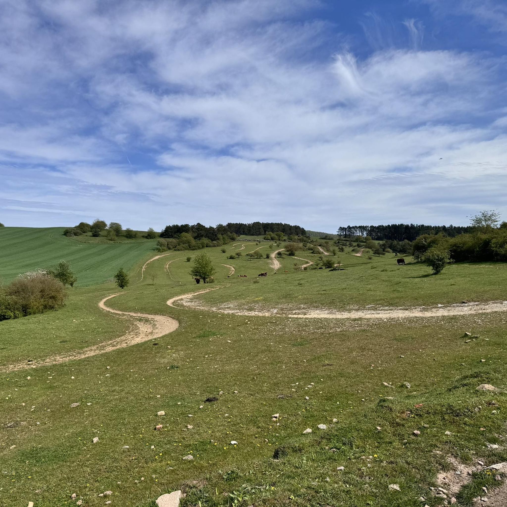
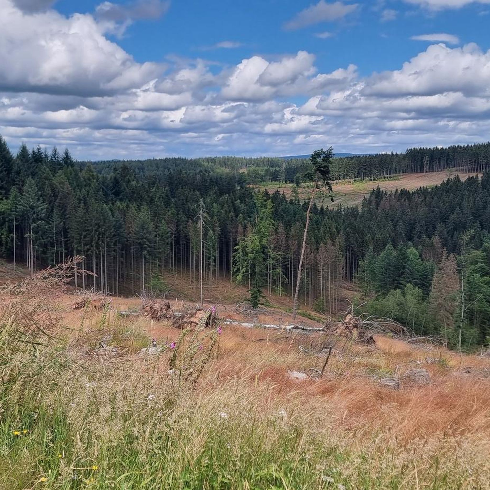
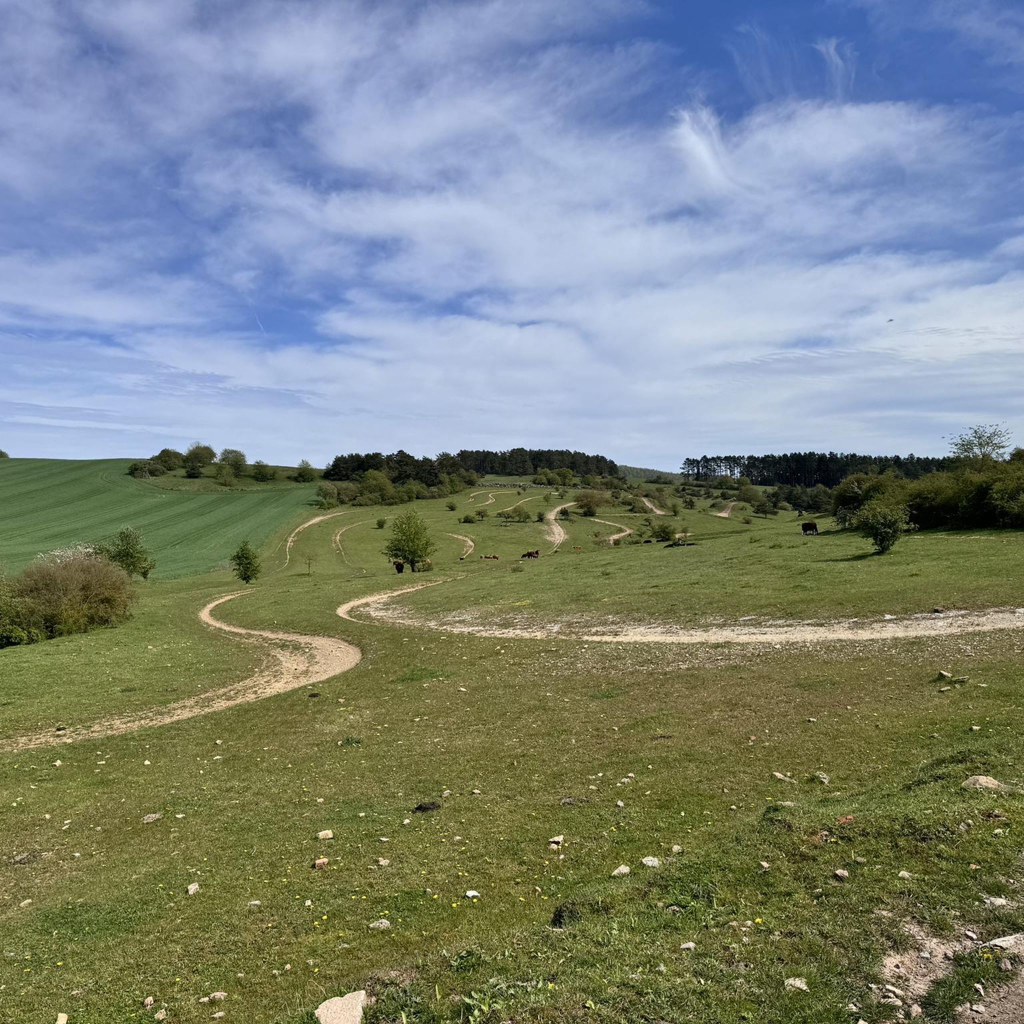
Road cycling around Oberstadt offers diverse landscapes at the foot of the southern slope of the Thuringian Forest. The region is characterized by extensive forests, river valleys, and varied terrain, providing both gentle and challenging inclines. Cyclists can experience impressive panoramic views of the Thuringian Forest and the Rhön Mountains from various points. The area features primarily paved surfaces suitable for road bikes.
Best road cycling routes around Oberstadt
- The most popular road cycling route is Haseltal Riverbank – Kirchenburg Walldorf loop from Suhl-Heinrichs, a 44.1 miles (70.9 km) trail that takes 3 hours 1 minute to complete, featuring the Haseltal Riverbank and the historic Kirchenburg Walldorf.
- Another top favourite among local road cyclists is A71 Bridge Crossing – Werra in Obermaßfeld loop from Themar, a moderate 22.4 miles (36.0 km) path. This route includes a crossing of the A71 bridge and follows the Werra river near Obermaßfeld.
- Local road cyclists also love the Themar Town Hall – Kloster Veßra Monastery loop from Themar, a 21.6 miles (34.8 km) trail leading through the historic town of Themar and past the Kloster Veßra Monastery, often completed in about 1 hour 33 minutes.
- Road cycling around Oberstadt is defined by forested hills, river valleys, and panoramic views of the Thuringian Forest and Rhön Mountains. The network offers options for different ability levels, from gentle rides to more demanding ascents.
- The routes in Oberstadt are highly rated by the komoot community with an average score of 4.7 stars from over 100 reviews. More than 2,500 road cyclists have used komoot to explore Oberstadt's varied terrain.
Last updated: September 29, 2026
5.0
(5)
68
riders
70.9km
03:02
500m
500m
Moderate road ride. Good fitness required. Some segments of this route may be unpaved and difficult to ride.
5.0
(5)
72
riders
65.6km
02:39
280m
280m
Moderate road ride. Good fitness required. Some segments of this route may be unpaved and difficult to ride.

4.0
(4)
54
riders
36.0km
01:27
100m
100m
Moderate road ride. Great for any fitness level. Some segments of this route may be unpaved and difficult to ride.
5.0
(1)
17
riders
34.0km
01:30
320m
320m
Moderate road ride. Good fitness required. Mostly well-paved surfaces and easy to ride.
5.0
(1)
18
riders
86.6km
04:14
1,230m
1,230m
Hard road ride. Very good fitness required. Some segments of this route may be unpaved and difficult to ride.
Get access to more routes and recommendations from other explorers.
Already have an account?
Our route recommendations are based on thousands of hikes, rides, and runs completed by other people on komoot.
Start today with a free account
Your next adventure awaits.
Tips from the Community

Quite far and flat
0
0

Comfortable pass ride with moderate gradients.
0
0
Comfortable pass ride, the gradient is kept well within limits.
0
0


At the confluence of the Erle and the Nahe, in the midst of the medieval small town of Schleusingen, rises the mighty Bertholdsburg Castle. From the 13th century, it served the Counts of Henneberg as their ancestral seat and is the oldest residential castle in Thuringia. In the 15th and 16th centuries, the fortified castle was converted into an early modern palace in the Renaissance style. Today, the castle houses the Natural History Museum. The 40-meter-high main tower offers a picturesque view of the southern foothills of the Thuringian Forest.
15
0
Frequently Asked Questions
How many road cycling routes are available around Oberstadt?
There are over 100 road cycling routes around Oberstadt, offering a wide range of options. You'll find routes suitable for various skill levels, including 12 easy, 61 moderate, and 30 difficult trails.
What kind of terrain and scenery can I expect while road cycling in Oberstadt?
Road cycling in Oberstadt offers diverse landscapes at the foot of the southern slope of the Thuringian Forest. You can expect extensive forests, picturesque river valleys, and varied terrain with both gentle and challenging inclines. Many routes provide impressive panoramic views of both the Thuringian Forest and the Rhön Mountains, often on primarily paved surfaces.
Are there any challenging road cycling routes with significant climbs in the Oberstadt area?
Yes, for those seeking a challenge, Oberstadt offers routes with more demanding ascents. A notable difficult route is the Pfanntalsteich – Rennsteig Station loop from Suhl-Heinrichs, which covers 85 km with over 1200 meters of elevation gain.
What are some scenic viewpoints or landmarks I can visit along the road cycling routes?
The region offers several scenic spots. You might encounter viewpoints like the Adlersberg Observation Tower or the Eingefallener Berg Cliff and View of the Werratal. The historic Bismarck Tower on the Domberg, mentioned in regional research, also offers extensive views of the Thuringian Forest and Rhön Mountains.
Are there any circular road cycling routes around Oberstadt?
Yes, many routes in the area are designed as loops. For example, the A71 Bridge Crossing – Werra in Obermaßfeld loop from Themar is a moderate 36 km circular path. Another option is the Themar Town Hall – Kloster Veßra Monastery loop from Themar, which is 34.8 km long.
What do other road cyclists enjoy most about cycling in Oberstadt?
The area is highly rated by the komoot community, with an average score of 4.7 stars from over 100 reviews. Cyclists often praise the varied terrain, the beautiful panoramic views of the Thuringian Forest and Rhön Mountains, and the well-maintained paved surfaces suitable for road bikes.
Are there any routes that pass by historical or cultural sites?
Yes, some routes incorporate historical sites. The Themar Town Hall – Kloster Veßra Monastery loop from Themar leads through the historic town of Themar and past the Kloster Veßra Monastery. The Haseltal Riverbank – Kirchenburg Walldorf loop from Suhl-Heinrichs also passes by the historic Kirchenburg Walldorf.
Can I find routes that follow river valleys in Oberstadt?
Absolutely. The region is characterized by river valleys, and several routes utilize them for scenic and often gentler rides. The Haseltal Riverbank – Kirchenburg Walldorf loop from Suhl-Heinrichs follows the Haseltal Riverbank, and the A71 Bridge Crossing – Werra in Obermaßfeld loop from Themar follows the Werra river near Obermaßfeld.
Are there any long-distance road cycling options around Oberstadt?
Yes, for longer rides, you can find routes that extend further into the region. The Pfanntalsteich – Rennsteig Station loop from Suhl-Heinrichs is a challenging 85 km route, and the Haseltal Riverbank – Kirchenburg Walldorf loop from Suhl-Heinrichs is a substantial 70.9 km ride.
What is the best time of year for road cycling in Oberstadt?
The region around Oberstadt, being at the foot of the Thuringian Forest, generally offers pleasant cycling conditions from spring through autumn. While specific winter conditions are not detailed, the varied terrain is best enjoyed when roads are clear of snow and ice, typically outside of deep winter months.
Are there any routes that offer a mix of natural beauty and cultural sights?
Many routes combine both. For instance, the Rohr Monastery – Schwarzatal Cycle Path loop from Suhl-Heinrichs offers a blend of natural landscapes and a visit to the historic Rohr Monastery.
Most popular attractions around Oberstadt

Get inspired with the komoot mobile app


Explore more
Browse the best Road cycling routes in other regions.
