The best walks and hikes around Obersimten
4.5
(2476)
10,587
hikers
20
hikes
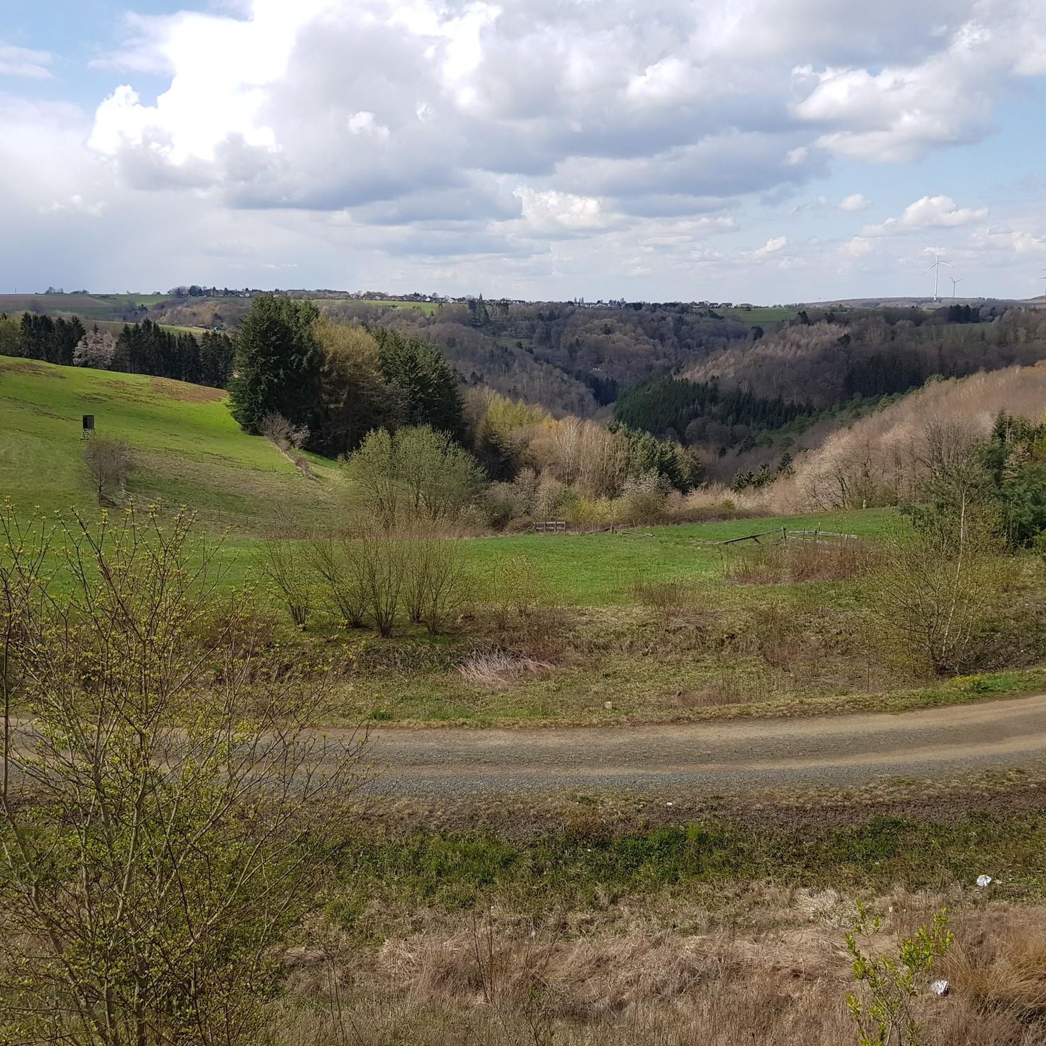
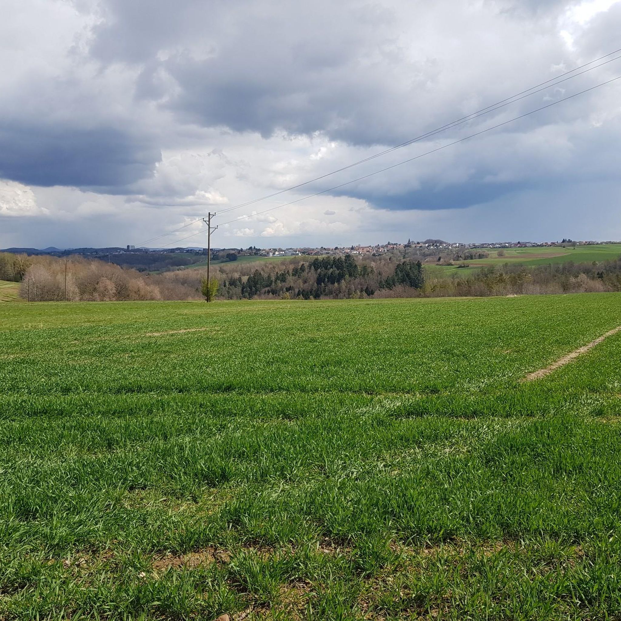
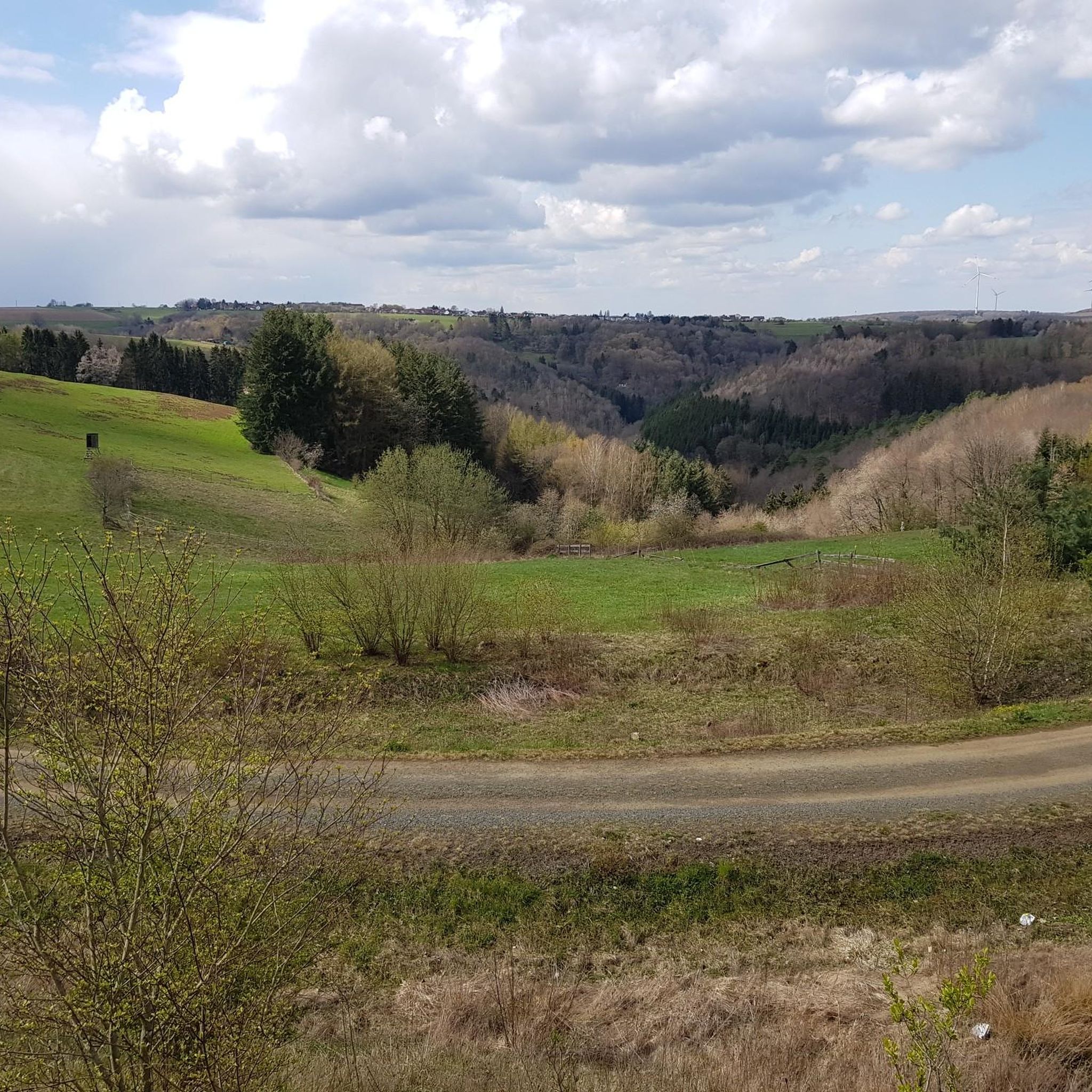
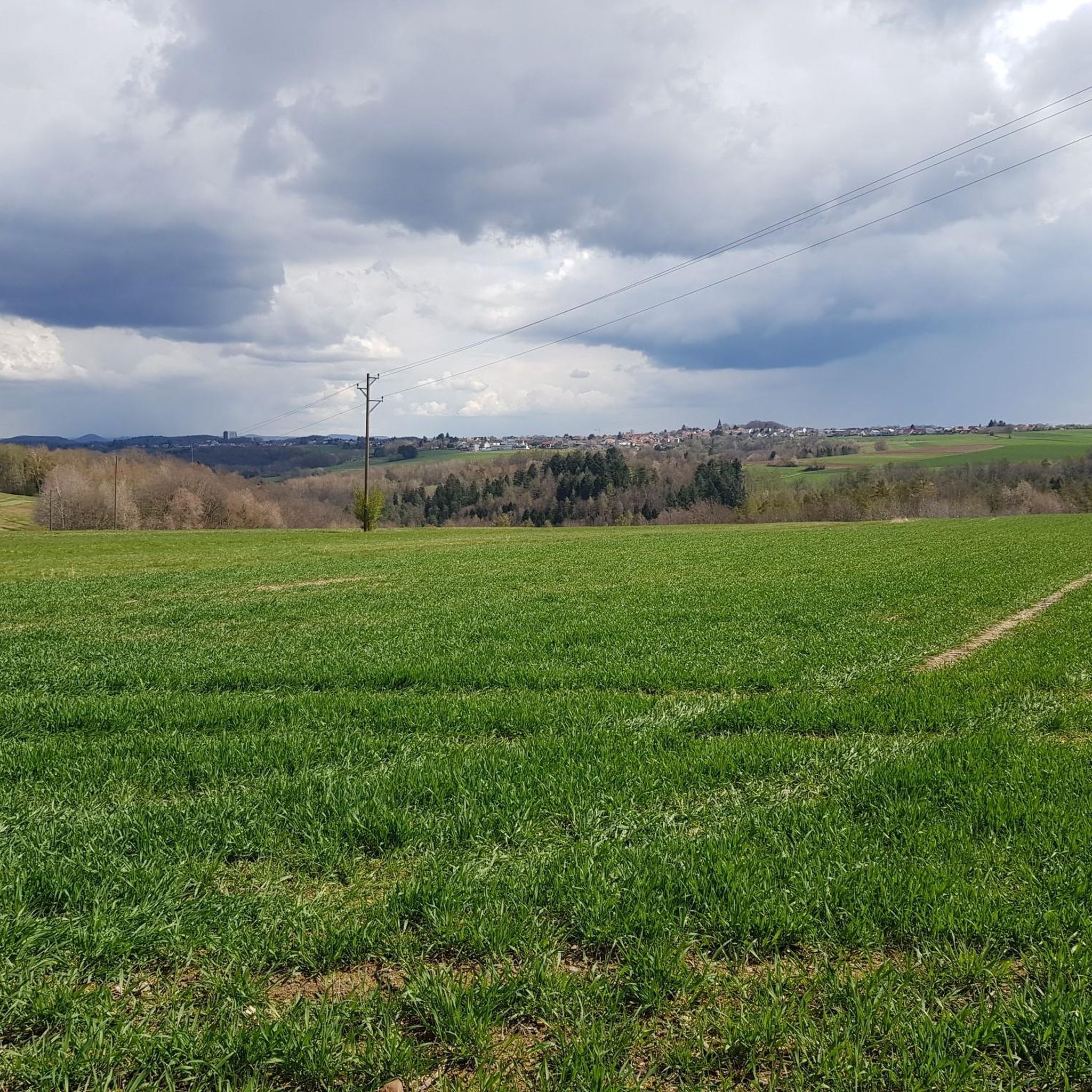
Hiking around Obersimten offers access to a landscape characterized by dense woodlands, gentle hills, and natural water features. The region features varied terrain, including paths alongside ponds and streams, as well as routes leading to notable rock formations. Elevations are generally moderate, with trails navigating through forested areas and open sections.
Best hiking trails around Obersimten
- The most popular hiking route is Gersbachweiher – Bench by the pond loop from Obersimten, a 1.8 miles (3.0 km) trail that takes…
Last updated: October 8, 2026
4.3
(16)
91
hikers
2.97km
00:47
30m
30m
Easy hike. Great for any fitness level. Easily-accessible paths. Suitable for all skill levels.
4.4
(16)
55
hikers
8.69km
02:30
190m
190m
Moderate hike. Good fitness required. Mostly accessible paths. Sure-footedness required.

3.8
(4)
12
hikers
12.1km
03:24
230m
230m
Moderate hike. Good fitness required. Mostly accessible paths. Sure-footedness required.
4.5
(2)
10
hikers
Easy hike. Great for any fitness level. Easily-accessible paths. Suitable for all skill levels.
4.3
(3)
12
hikers
Easy hike. Great for any fitness level. Easily-accessible paths. Suitable for all skill levels.
Get access to more routes and recommendations from other explorers.
Already have an account?
Our route recommendations are based on thousands of hikes, rides, and runs completed by other people on komoot.
Start today with a free account
Your next adventure awaits.
Tips from the Community

Built by the PWV Niedersimten (see: inscriptions on the endstones of the fountain wall, left and right outside).
2
0

Devil's Path circular hiking trail
1
1

It's a pleasant place to linger. Very friendly staff and good food. However, it's self-service.
3
0

The Trualbe (also: Trualb, French: Ruisseau d'Eppenbrunn) is a 9 km long tributary of the Hornbach. The Trualbe, along with its tributaries, drains the extreme southwest of the Palatinate Forest and the southeast of the Zweibrücken Hills. The Hornbach, which receives it, is then also called "Trualbe" until it reaches the town of Hornbach. The Trualbe rises on the northeastern edge of Trulben and flows southwest through the town. At the Trulbermühle (mill), the Eppenbrunner Bach, which is of equal size, joins it from the left. From here, its course continues predominantly westward, passing the Schweixermühle (mills) and Hilstermühle (mills). Below the Hilstermühle (mill), the Trualbe leaves German territory and flows into the Grand Est region, into the Vosges du Nord Regional Nature Park. It passes Walschbronn and flows into the Hornbach from the right near Waldhouse, which flows into the Schwarzbach, which in turn flows into the Blies. Source: https://de.wikipedia.org/wiki/Trualbe
2
0
The origins of the St. Wendelin Chapel date back to the 6th or 7th century. The field chapel is dedicated to St. Wendelin, the patron saint of animals. However, it was blown up for strategic reasons during the Second World War and was not rebuilt until 1984. The chapel is located on the "Lange Ahnung" hill between the villages of Trulben and Hochstellerhof. As early as the 6th and 7th centuries, a chapel stood on the current site of the St. Wendelin Chapel. This chapel was the predecessor to the chapel completed in 1806. However, by the beginning of the 20th century, the chapel was already showing significant structural damage. As a result, the dilapidated chancel was demolished. On May 12, 1912, a hailstorm caused extensive damage to the chapel, which was repaired a year later. In 1936, the chapel was expanded on the east side with a turret and bell. The renovated chapel was then blown up by the German Wehrmacht for strategic reasons in 1939. Efforts to rebuild the church after the Second World War (1939-1945) failed repeatedly. It wasn't until 1979 that the chapel association decided to make reconstruction its primary focus. Construction of the new building began on April 14, 1984, and the chapel was consecrated by Bishop Anton Schlembach of Speyer on August 25, 1985. Source and further information: https://www.westpfalz.wiki/wiki/wedelinuskapelle-trulben/
1
0


Fresh, cool water! This is the kind of fountain you'll want to refill your supplies on a long trip!
2
1
Frequently Asked Questions
How many hiking trails are available in Obersimten?
Obersimten offers a selection of over 20 hiking trails. These routes cater to various skill levels, including 8 easy, 12 moderate, and 3 more challenging options.
What kind of landscape can I expect while hiking in Obersimten?
The landscape around Obersimten is characterized by dense woodlands, gentle hills, and natural water features. You'll find paths alongside ponds and streams, as well as routes leading to notable rock formations. Elevations are generally moderate, with trails navigating through forested areas and open sections.
Are there any easy or beginner-friendly hikes in Obersimten?
Yes, Obersimten has 8 easy hiking trails suitable for beginners or those looking for a relaxed walk. A good option is the Gersbachweiher – Bench by the pond loop from Obersimten, a short 1.8-mile (3.0 km) path offering views of a local pond.
Are there any circular hiking routes in Obersimten?
Many of the trails in Obersimten are designed as circular routes, allowing you to start and end at the same point. For example, the Devil's Spring – Devil's rock (natural monument) loop from Hochstellerhof is a moderate 5.0-mile (8.1 km) loop exploring forested areas and leading to a natural rock monument.
What are some notable natural attractions or landmarks to see on the trails?
The region is known for its natural rock formations. You can explore highlights such as the Altschloss Rocks or the Altschlossfelsen sandstone rock formation. Some trails also lead past features like the Rock arch on the Felsenwald Premium Trail.
Are there any waterfalls or water features along the hiking routes?
Yes, Obersimten features several water-related highlights. You might encounter the Witches' Gorge, the Rest Area at the Small Waterfall in Hexenklamm, or the Devil's Rock Waterfall and Cave on various trails.
What do other hikers enjoy most about Obersimten?
The trails in Obersimten are highly rated by the komoot community, with an average score of 4.5 stars from over 2,100 reviews. Hikers often praise the diverse terrain, from tranquil woodlands to impressive rock formations, and the well-maintained paths that cater to different fitness levels.
Are there any longer or more advanced hiking trails in Obersimten?
For those seeking a longer adventure, there are 3 difficult trails and 12 moderate trails. A moderate option is the Devil's rock (natural monument) – Devil's Spring loop from Hochstellerhof, which covers 7.5 miles (12.0 km) and involves more elevation gain.
Is Obersimten suitable for winter hiking?
While the guide focuses on general hiking, the dense woodlands and moderate elevations suggest that some trails could be suitable for winter hiking, especially on clear days. Always check local weather conditions and trail reports before heading out in winter.
Are there any viewpoints or scenic rest areas on the trails?
Yes, some routes include scenic spots. The Rest area with a view – Log bridge at the Wahlbach loop from Hochstellerhof is an example of a trail that passes by a rest area offering views, alongside a unique log bridge.
What is the best time of year to go hiking in Obersimten?
The varied terrain, including woodlands and water features, makes Obersimten enjoyable throughout spring, summer, and autumn. Spring brings fresh greenery, summer offers pleasant temperatures for shaded forest paths, and autumn provides beautiful foliage. Always check the weather forecast before your hike.
Most popular attractions around Obersimten

Get inspired with the komoot mobile app


Explore more
Browse the best Hikes in other regions.
