The best MTB trails around Oberscheidweiler
4.5
(1225)
3,765
riders
272
rides
Mountain bike trails around Oberscheidweiler are set within Germany's Vulkaneifel region, characterized by its distinctive volcanic landscapes. The area features a diverse composition of forests, meadows, and unique geological formations such as maars and basalt rock. Elevations in the region reach up to 700 meters, contributing to varied terrain and numerous stream valleys. This topography provides a range of conditions suitable for mountain biking.
Best mountain bike trails around Oberscheidweiler
- The most popular mountain bike trail is Old Railway Bridge…
Last updated: October 3, 2026
4.6
(28)
59
riders
36.6km
03:07
590m
590m
Hard mountain bike ride. Good fitness required. Advanced riding skills necessary. Some portions of the route may require you to push your bike.
4.8
(19)
29
riders
33.3km
02:14
390m
380m
Moderate mountain bike ride. Good fitness required. Suitable for all skill levels.

4.9
(10)
18
riders
Hard mountain bike ride. Good fitness required. Advanced riding skills necessary. Some portions of the route may require you to push your bike.
5.0
(1)
5
riders
18.7km
01:32
290m
290m
Easy mountain bike ride. Great for any fitness level. Suitable for all skill levels.
5.0
(2)
11
riders
30.0km
02:34
500m
500m
Hard mountain bike ride. Good fitness required. Advanced riding skills necessary. Some portions of the route may require you to push your bike.
Get access to more routes and recommendations from other explorers.
Already have an account?
Our route recommendations are based on thousands of hikes, rides, and runs completed by other people on komoot.
Start today with a free account
Your next adventure awaits.
Tips from the Community

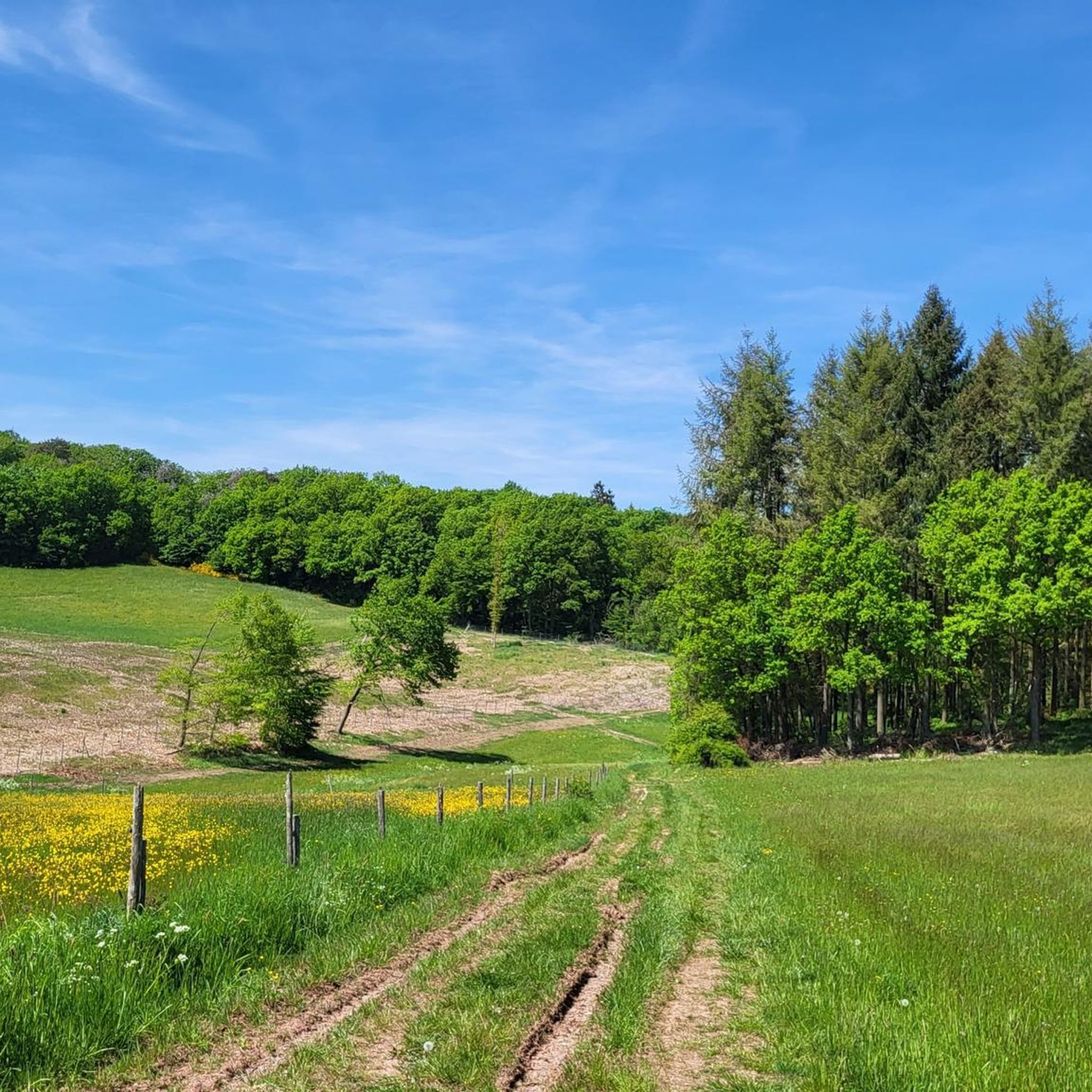
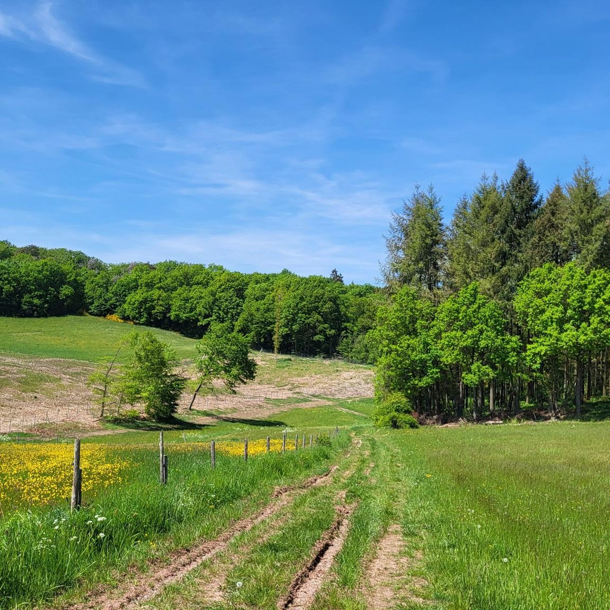
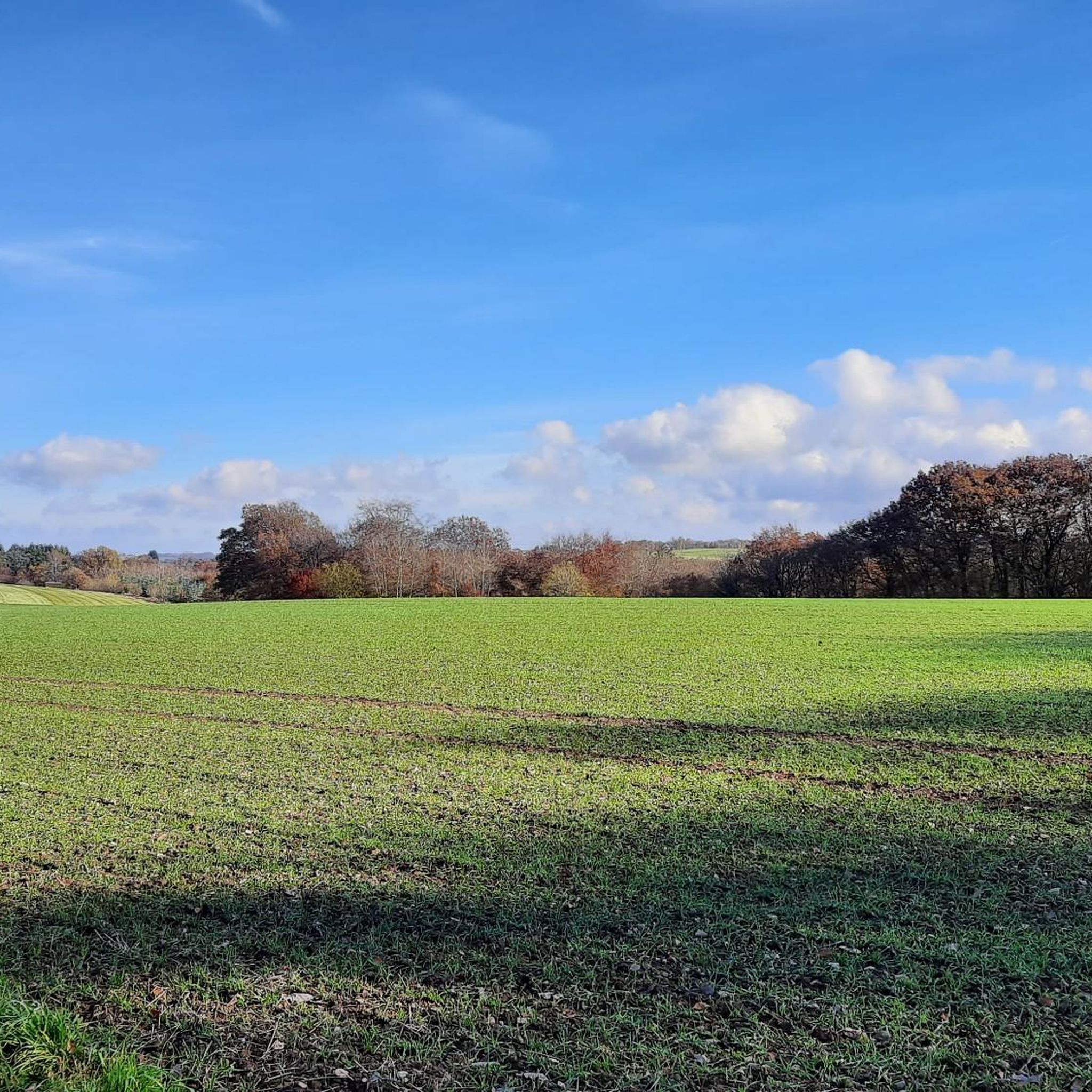
Here you can hike relaxed. Wonderful section of the path.
0
0

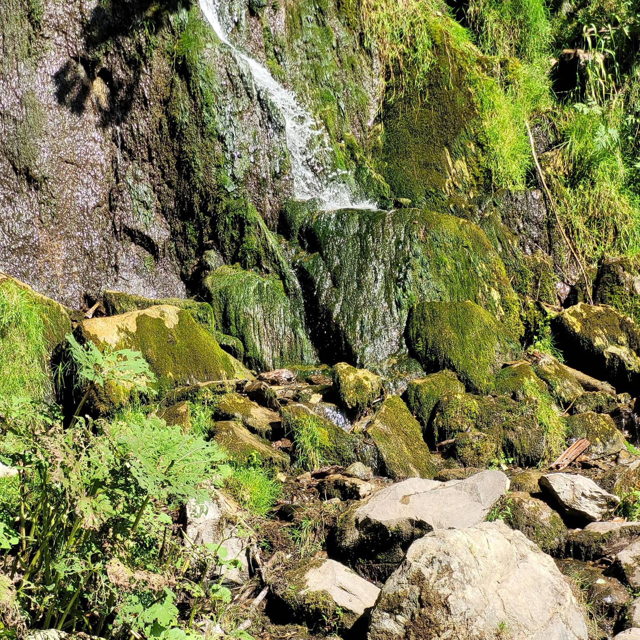
Very interesting and educational.
1
0

Currently delicate spring, but still a bit swampy here and there
0
0
Sooo cozy, rustic, dreamlike beautiful
0
0

Always fun! From the Plein refuge, descend, then take the Quetschenberg trail! 🙌🚵♂️📯
0
0

During our visit today, the platform was closed... it looks very dilapidated!
0
0

Beautiful scenery, but the condition of the wooden figures is slowly becoming critical and needs renovation. This also applies to the closed viewing platform at the Holzmaar itself. Overall, a beautiful hiking trail with three maars.
0
0
Frequently Asked Questions
How many mountain bike trails are available around Oberscheidweiler?
There are nearly 300 mountain bike trails around Oberscheidweiler. This includes a wide range of options, with 35 easy routes, 163 moderate routes, and 94 difficult trails, catering to various skill levels.
What kind of terrain can I expect on mountain bike trails around Oberscheidweiler?
The terrain around Oberscheidweiler is shaped by its distinctive volcanic past, offering a diverse mix of landscapes. You'll encounter rolling hills, dense forests, and unique geological features like maars (volcanic lakes) and basalt rock formations. Elevations can reach up to 700 meters, providing varied climbs and descents.
Are there easy mountain bike trails suitable for beginners or families in Oberscheidweiler?
Yes, there are 35 easy mountain bike trails around Oberscheidweiler. A good option for a more relaxed ride is the Former Hasborn Train Station – Bench on the Lieder Wanderweg loop from Hasborn, which is 15.1 miles (24.4 km) long and features moderate elevation changes.
What are some challenging mountain bike trails in the Oberscheidweiler area?
For experienced mountain bikers seeking a challenge, there are 94 difficult trails. One such route is the Old Railway Bridge near Plein – Shelter with a View of Wittlich loop from Hasborn. This 22.4 miles (36.0 km) trail involves significant elevation gain and offers expansive views.
What natural features or landmarks can I see along the mountain bike trails?
The Vulkaneifel region is rich in natural and historical sights. You can explore volcanic remnants like the Strohner Lava Bomb and the beautiful Holzmaar lake. For historical interest, consider routes that pass near Manderscheid Lower Castle or offer views of the Manderscheid Castles.
Are there any mountain bike trails that are loop routes?
Many of the mountain bike trails around Oberscheidweiler are designed as loops, offering convenient starting and ending points. Examples include the Strohner Lava Bomb – Holzmaar loop from Niederscheidweiler and the Former Hasborn Train Station – Old Footpath to Plein loop from Hasborn.
What do other mountain bikers enjoy most about the trails in Oberscheidweiler?
The mountain bike trails around Oberscheidweiler are highly rated by the komoot community, with an average score of 4.5 stars from over 1100 reviews. Riders often praise the diverse volcanic landscapes, the quiet forests, and the variety of routes suitable for different skill levels.
Is Oberscheidweiler a good destination for mountain biking with dogs?
While specific dog-friendly trail regulations can vary, the Vulkaneifel region's extensive forests and natural paths generally offer good opportunities for outdoor activities with dogs. It's always advisable to keep dogs on a leash, especially in nature reserves or near wildlife, and to check local signage for any specific restrictions on individual trails.
What is the best time of year for mountain biking in Oberscheidweiler?
The Vulkaneifel region is enjoyable for mountain biking throughout much of the year. Spring and autumn offer pleasant temperatures and beautiful scenery with blooming flowers or vibrant fall foliage. Summer is also popular, though trails can be busier. Winter riding is possible, but conditions may be challenging due to snow or ice, especially at higher elevations.
Are there places to eat or stay near the mountain bike trails in Oberscheidweiler?
Oberscheidweiler and the surrounding villages in the Vulkaneifel region offer various options for refreshments and accommodation. You can find local cafes, pubs, and guesthouses that cater to visitors. For relaxation after a ride, the Vulkaneifel Therme, a hot spring attraction, is located about 7km away.
How long are the mountain bike trails around Oberscheidweiler?
The mountain bike trails around Oberscheidweiler vary significantly in length. You can find shorter routes, such as the Former Hasborn Train Station – Old Footpath to Plein loop from Hasborn at 11.6 miles (18.7 km), as well as longer, more demanding trails like the Old Railway Bridge near Plein – Shelter with a View of Wittlich loop from Hasborn, which is 22.4 miles (36.0 km).
Are there any viewpoints along the mountain bike trails in Oberscheidweiler?
Yes, the varied topography of the Vulkaneifel region provides several excellent viewpoints. You can find highlights such as the Mosenberg Lookout Tower or the View over the Lieser Valley from the Burgberg viewing platform, offering panoramic vistas of the volcanic landscape and surrounding nature.
Most popular routes around Oberscheidweiler
Most popular attractions around Oberscheidweiler

Get inspired with the komoot mobile app


Explore more
Browse the best MTB trails in other regions.
