The best walks and hikes around Oberostendorf
4.6
(1726)
8,119
hikers
13
hikes
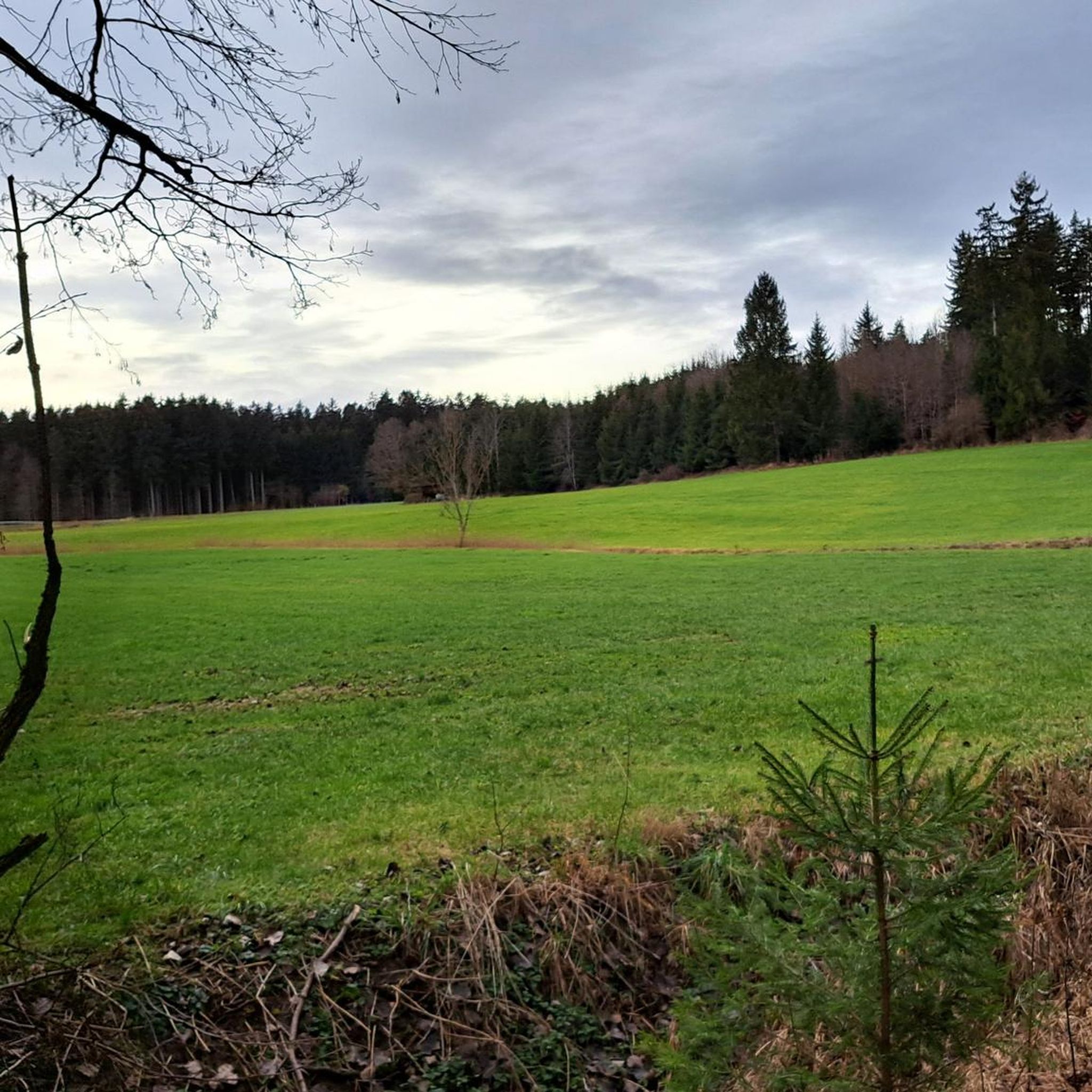
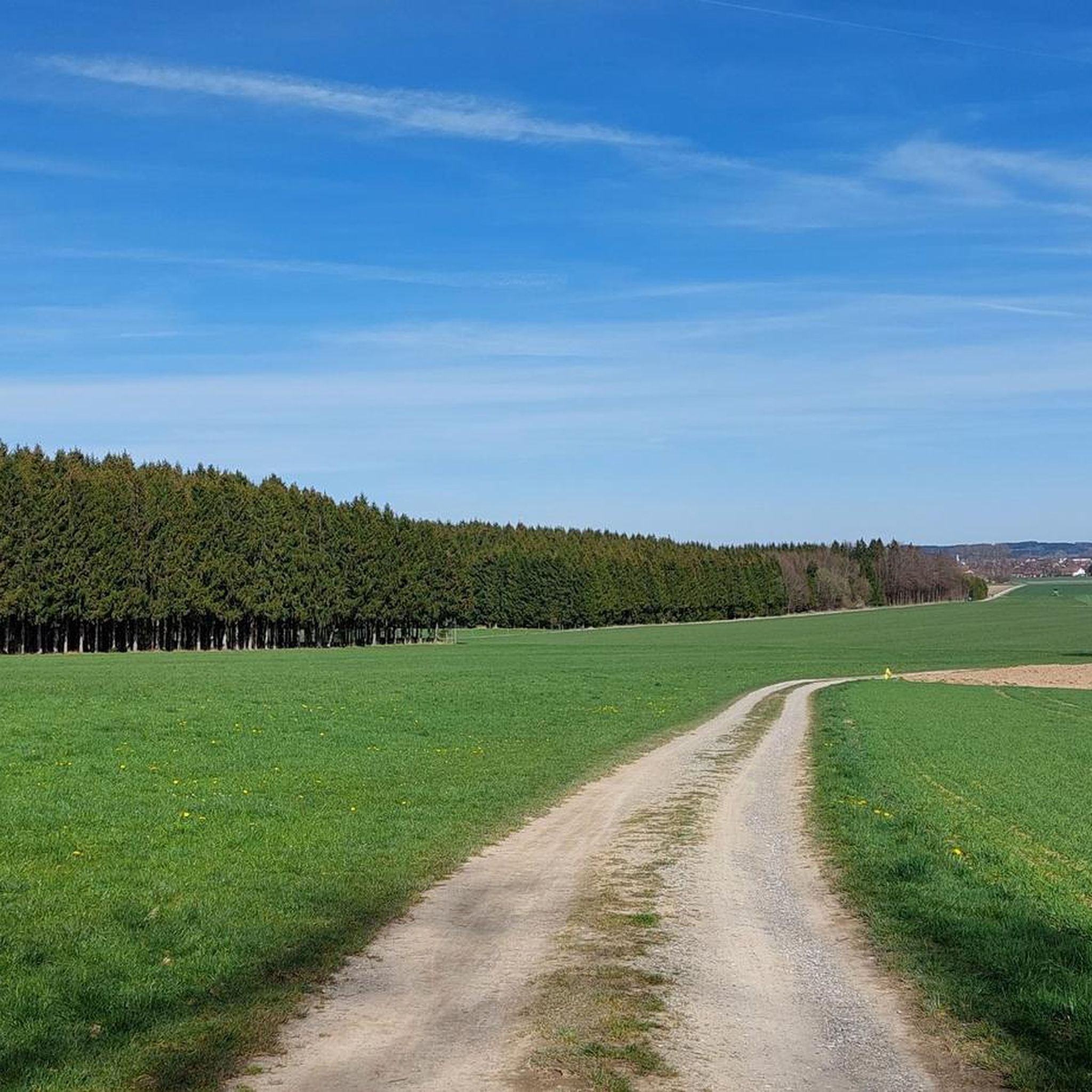
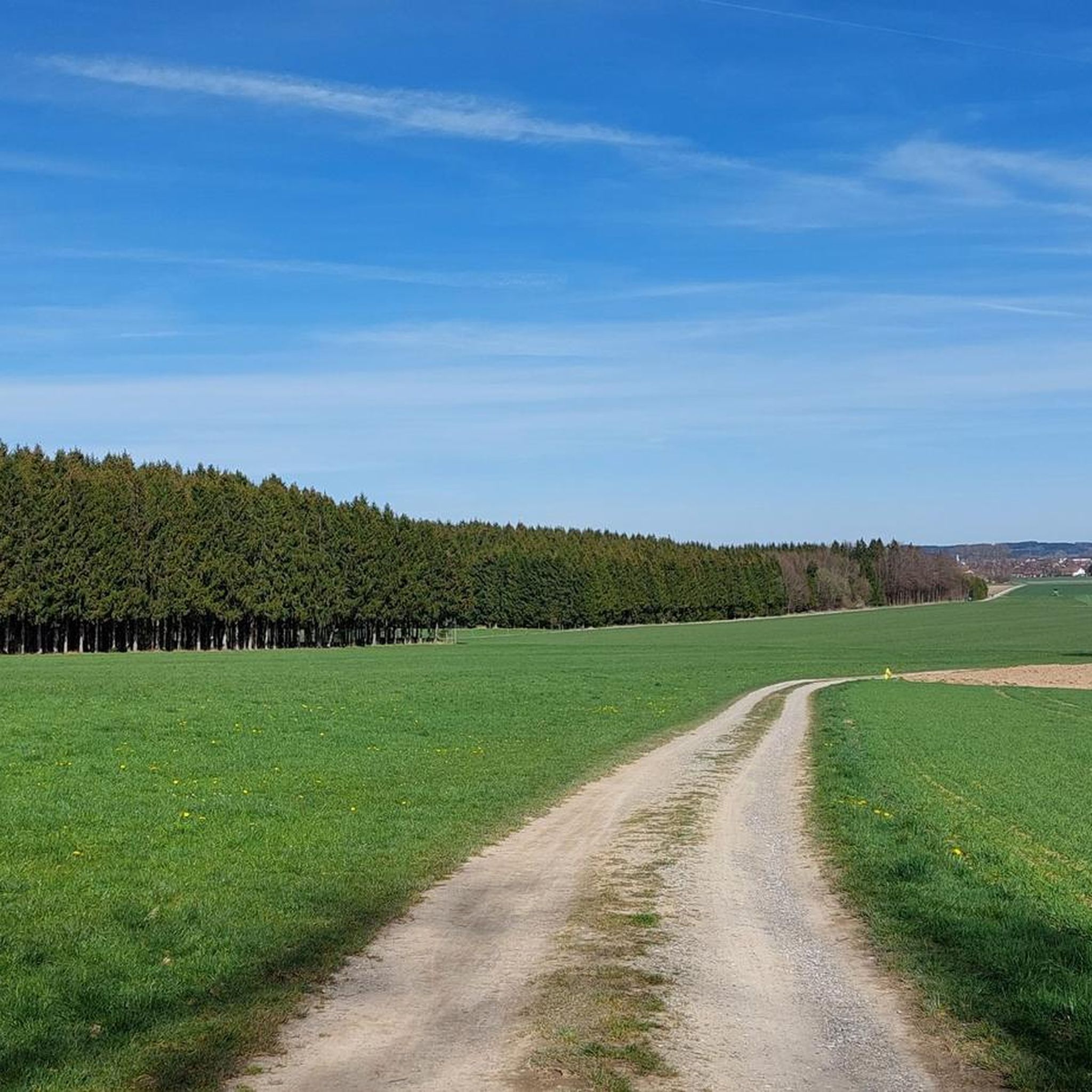
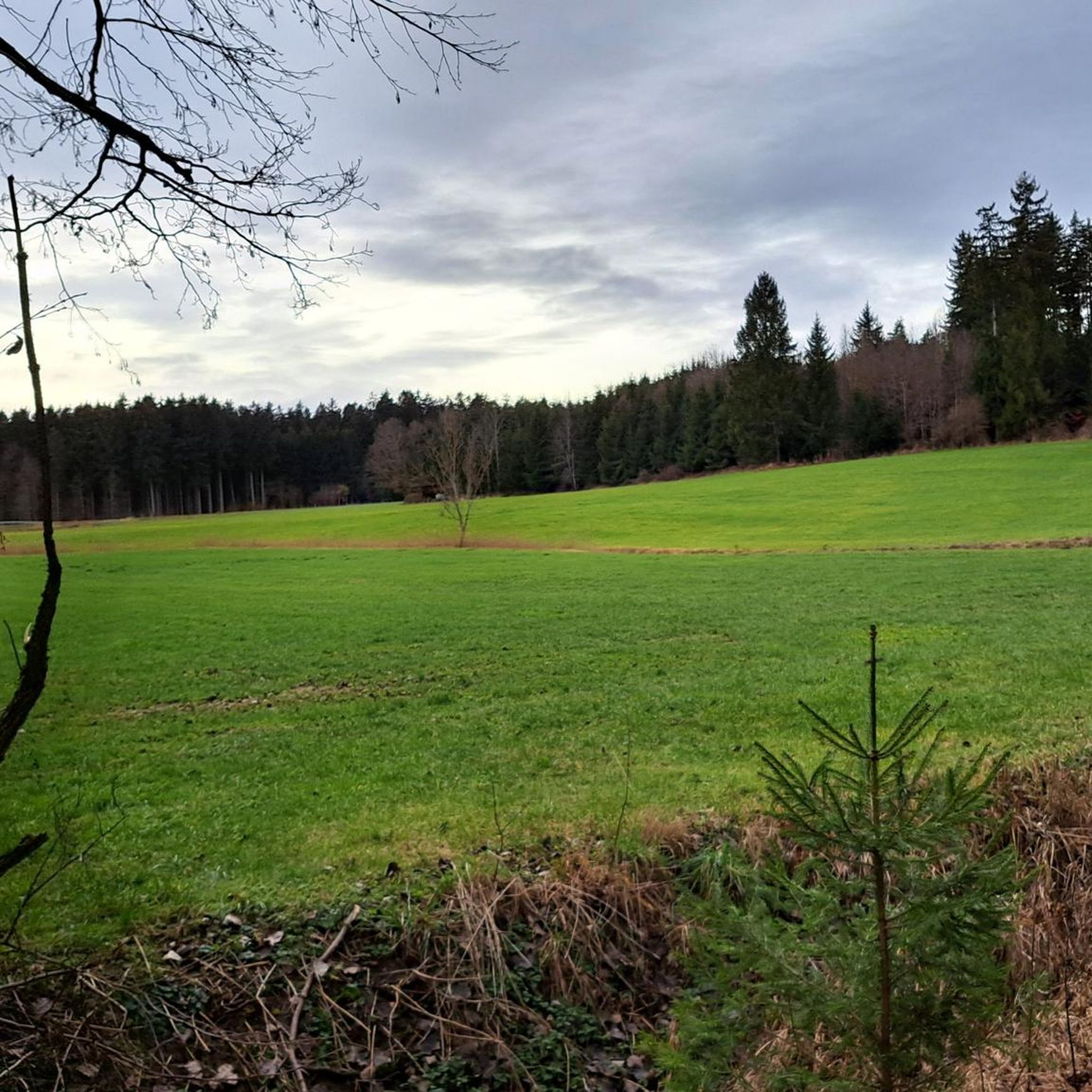
Hiking around Oberostendorf offers an appealing landscape for outdoor enthusiasts, nestled on the edge of the Allgäu region. The area is characterized by green meadows, forests, and gentle hills, providing varied terrain for exploration. Hikers can expect to traverse diverse environments, including the picturesque Hühnerbachtal. This region provides a mix of easily accessible paths and more challenging routes.
Best hiking trails around Oberostendorf
- The most popular hiking route is St. Georg Church on Georgiberg – Forest Trail loop from Westendorf…
Last updated: September 30, 2026
5.0
(2)
20
hikers
Moderate hike. Good fitness required. Easily-accessible paths. Suitable for all skill levels.
9
hikers
7.40km
01:56
50m
50m
Easy hike. Great for any fitness level. Easily-accessible paths. Suitable for all skill levels.

5.0
(1)
8
hikers
21.3km
05:29
100m
100m
Hard hike. Very good fitness required. Easily-accessible paths. Suitable for all skill levels.
5.0
(1)
4
hikers
Easy hike. Great for any fitness level. Easily-accessible paths. Suitable for all skill levels.
2
hikers
17.9km
04:44
170m
170m
Moderate hike. Good fitness required. Easily-accessible paths. Suitable for all skill levels.
Get access to more routes and recommendations from other explorers.
Already have an account?
Our route recommendations are based on thousands of hikes, rides, and runs completed by other people on komoot.
Start today with a free account
Your next adventure awaits.

Tips from the Community

Excellent, reasonably priced fish dishes Reservations are essential
0
0

The Welden Ponds were created over 300 years ago and are part of the protected landscape areas in the Landsberg am Lech district. These are ideal for swimming, often very quiet, and offer various hiking options. The largest pond has a restaurant and a large parking lot.
0
0
The Weldener Weiher to be more precise ;-)
0
0


1
0

Guided hikes can be booked directly via the Weldenerhof website.
0
0

Healing source of life - connected to the source
0
0

Frequently Asked Questions
How many hiking trails are available around Oberostendorf?
There are 13 hiking trails around Oberostendorf, offering a variety of experiences. These include 8 easy routes, 4 moderate routes, and 1 more challenging option, ensuring there's something for every fitness level.
Are there easy hiking trails suitable for families or beginners?
Yes, Oberostendorf offers several easy hiking options perfect for families or those new to hiking. For example, the St. Georg Church on Georgiberg loop from Westendorf is an easy 4.6-mile (7.4 km) path with accessible trails and views of the surrounding countryside and the church. The region's landscape includes many easily accessible paths through meadows and gentle hills.
What kind of landscapes will I encounter on the trails in Oberostendorf?
Hikers in Oberostendorf can expect a diverse landscape characterized by green meadows, shaded forests, and gentle hills. The picturesque Hühnerbachtal (Hühnerbach Valley) is a notable feature, and the broader Allgäu region provides stunning natural scenery, including distant snow-capped peaks and deep blue lakes.
Are there any circular walks in the area?
Yes, many of the trails around Oberostendorf are designed as circular routes, allowing you to start and end at the same point. An example is the St. Georg Church on Georgiberg – Forest Trail loop from Westendorf, which is a moderate 5.0-mile (8.1 km) trail leading through forested areas.
What are some interesting landmarks or attractions to see while hiking?
While hiking, you can explore several points of interest. The historic St. Georg Church on Georgiberg is a prominent landmark accessible via various loops. The region also features the Passion Play village of Waal with its notable St. Anna-Kirche. For a different kind of natural exploration, the nearby Bad Wörishofen Spa Park offers extensive gardens and Kneipp facilities.
Are there any longer or more challenging routes for experienced hikers?
Yes, for experienced hikers seeking a longer challenge, the Marterpfahl in Eurishofen – War Memorial Oberostendorf loop from Westendorf is a difficult 13.8-mile (22.3 km) route. This trail requires good fitness and sturdy shoes, traversing varied terrain for a longer duration.
What do other hikers say about the trails in Oberostendorf?
The trails in Oberostendorf are highly rated by the komoot community, with an average score of 4.6 stars from over 1500 reviews. Hikers often praise the quiet woodlands, well-maintained paths, and the diverse terrain that offers both relaxing strolls and more challenging excursions.
Can I find routes that include a stop at a cafe or restaurant?
Yes, some routes offer opportunities to stop at local establishments. The Trout Inn Welden – Life's Healing Spring loop from Oberostendorf is an 11.1-mile (17.9 km) trail that passes by the Trout Inn Welden, providing a potential stop for refreshments during your hike through meadows and quiet forests.
Is there parking available at the trailheads?
While specific parking details for every trailhead are not listed, Oberostendorf is generally accessible, and many hiking areas in the Allgäu region provide designated parking spots for hikers. It's advisable to check local signage or specific route descriptions for detailed parking information.
What is the best time of year to go hiking in Oberostendorf?
The mild and pleasant climate of the Allgäu region makes Oberostendorf suitable for hiking for much of the year. Spring and autumn offer comfortable temperatures and beautiful scenery, while summer provides longer daylight hours. Even in winter, some paths may be accessible, though conditions can vary.
Are there any routes that offer good viewpoints?
The region around Oberostendorf, being on the edge of the Allgäu, offers routes with scenic views of green meadows, forests, and distant snow-capped peaks. Trails leading to higher points, such as those around the St. Georg Church on Georgiberg, often provide panoramic vistas of the surrounding countryside.
Are there any trails that pass by water features like lakes or rivers?
While specific large lakes directly adjacent to Oberostendorf trails are not detailed, the broader Allgäu region is known for its deep blue lakes. The Hühnerbachtal (Hühnerbach Valley) offers picturesque routes along a natural water feature, providing a pleasant experience by the stream.
Most popular routes around Oberostendorf
Most popular attractions around Oberostendorf

Get inspired with the komoot mobile app


Explore more
Browse the best Hikes in other regions.
