The best walks and hikes around Ober Kostenz
4.6
(2722)
8,540
hikers
405
hikes
Hiking around Ober Kostenz offers diverse landscapes within the Hunsrück region of Germany. The area features a varied topography of rolling hills, deep valleys, and elevated viewpoints, providing a range of scenic routes. Picturesque forests surround Ober Kostenz, offering immersive natural experiences. The region's proximity to the Moselle and Rhine rivers means many trails provide views or access to their river valleys.
Best hiking trails around Ober Kostenz
- The most popular hiking route is Jewish Cemetery Sohren – View of…
Last updated: July 1, 2026
4.7
(10)
23
hikers
Easy hike. Great for any fitness level. Easily-accessible paths. Suitable for all skill levels.
4.7
(21)
39
hikers
Moderate hike. Good fitness required. Easily-accessible paths. Suitable for all skill levels.

Sign up for free
4.0
(2)
6
hikers
Moderate hike. Good fitness required. Easily-accessible paths. Suitable for all skill levels.
7
hikers
3.56km
00:57
40m
30m
Easy hike. Great for any fitness level. Easily-accessible paths. Suitable for all skill levels.
5.0
(2)
5
hikers
5.44km
01:27
60m
60m
Easy hike. Great for any fitness level. Easily-accessible paths. Suitable for all skill levels.
Get access to more routes and recommendations from other explorers.
Sign up for free
Already have an account?
Our route recommendations are based on thousands of hikes, rides, and runs completed by other people on komoot.
Start today with a free account
Your next adventure awaits.
Login or Signup

Tips from the Community

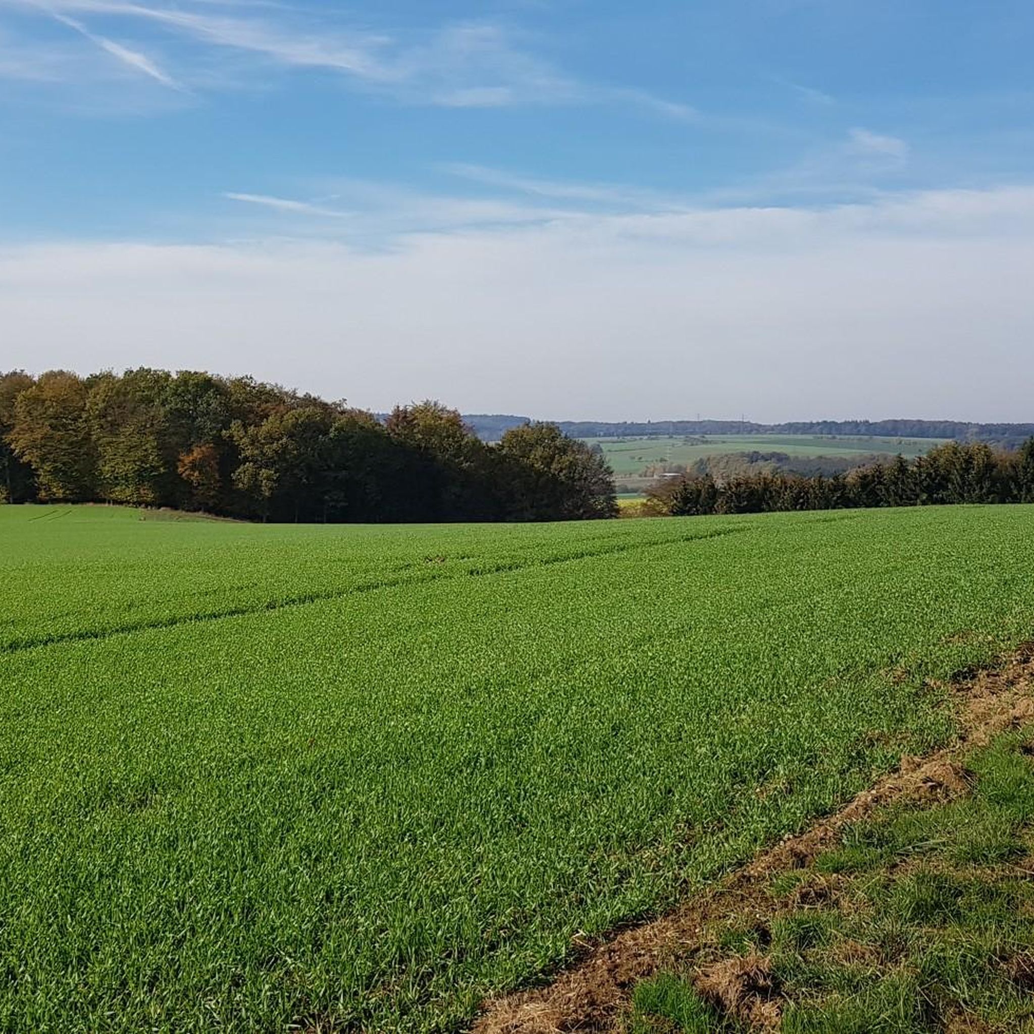
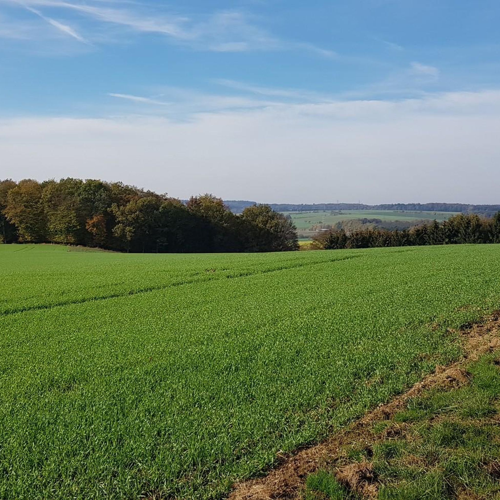
On this section you hike along the edge of the forest and have a great view. On the other side of the main road is the town of Sohren and on the horizon you can see the over 700 meter high Idarkopf.
0
0

Here you can listen to the frogs while taking a break and also watch them if you stay quiet.🐸
0
0

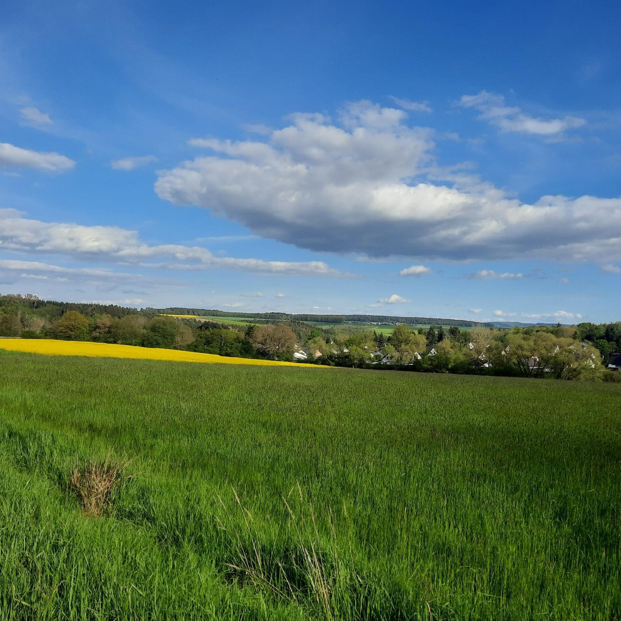
3 villages with backes
0
0


To the east of the Jewish cemetery, a piece of forest is home to several burial mounds. Through an old forest aisle you can cross the forest and reach the 10 burial mounds. Source: https://www.regionalgeschichte.net/hunsrueck/sohren/kulturdenkmaeler/grabhuegelfeld.html
0
0
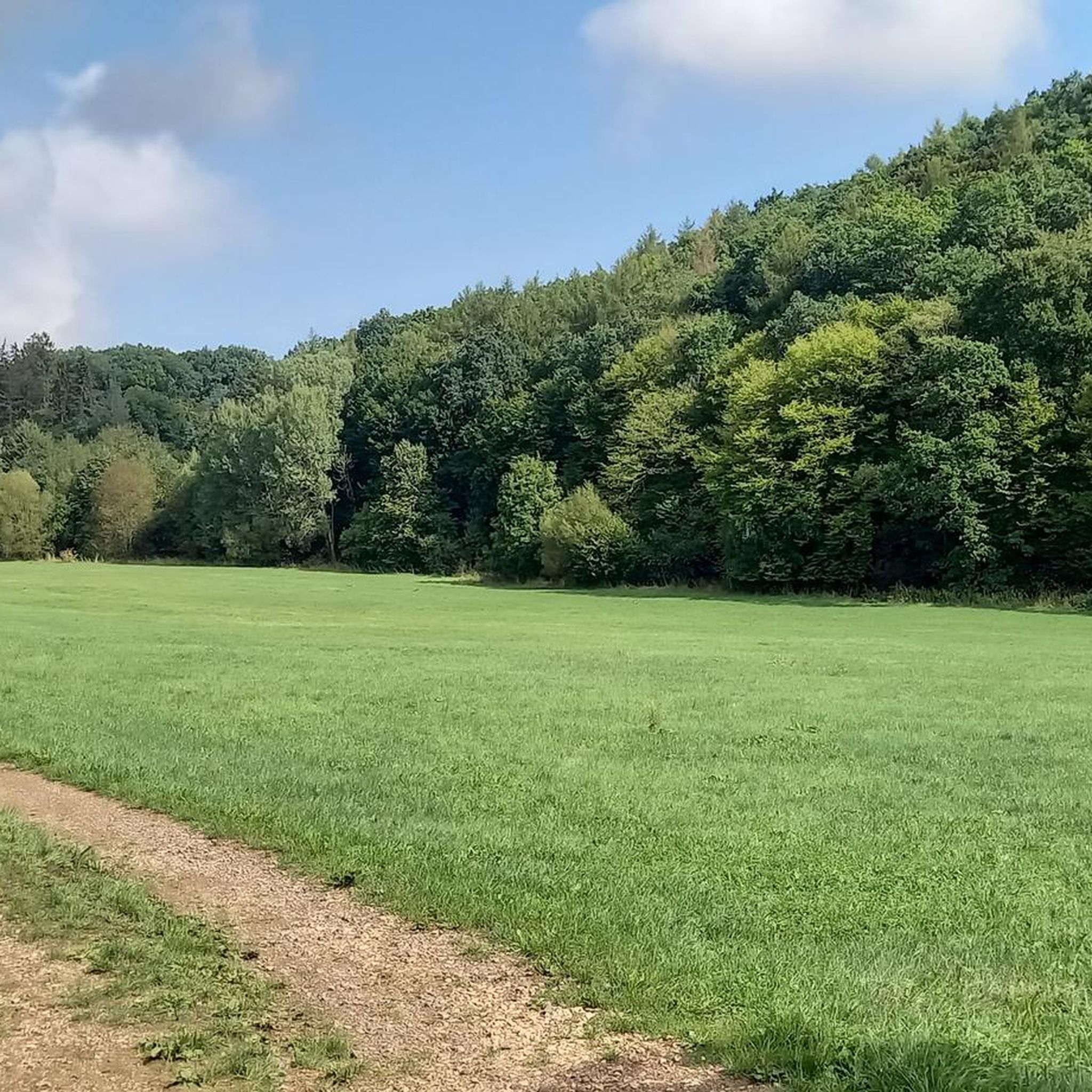
Two paths lead from the forest paths to the round pond, which are easy to find thanks to the "organic pond" signpost. The pond itself does not necessarily adhere to the bank limits imposed on it, which is why the surrounding areas are mostly under water and swampy. A bench is available for a rest.
0
0
In a prominent location north of Sohren, at the highest point of the Birkenhöhe, lies a massive burial mound measuring 3.5 m in height and 30 m in diameter. A scientific investigation of the burial mound, known as the "Fuchshügel," has not yet been carried out. Traces of earlier excavations likely date back to the 19th century, which also supports the rumor that a "golden hair clip" was found here. Source: https://www.regionalgeschichte.net/hunsrueck/sohren/kulturdenkmaeler/grabhuegelfeld.html The burial mound contains numerous animal burrows, presumably those of badgers.
1
0
Frequently Asked Questions
How many hiking trails are available around Ober Kostenz?
There are over 400 hiking routes around Ober Kostenz, offering a wide range of options for all skill levels. This includes more than 250 easy trails, 150 moderate routes, and a few more challenging options.
What kind of landscapes can I expect when hiking in Ober Kostenz?
The region around Ober Kostenz, nestled in the Hunsrück, features a diverse landscape of rolling hills, deep valleys, and elevated viewpoints. You'll hike through picturesque forests and may catch glimpses of the stunning Moselle and Rhine river valleys from higher elevations.
What do other hikers say about the trails in Ober Kostenz?
The hiking trails in Ober Kostenz are highly rated by the komoot community, with an average score of 4.6 stars from over 2,400 reviews. More than 8,400 hikers have explored the varied terrain, often praising the natural beauty and well-maintained paths.
Are there hiking trails for all skill levels in Ober Kostenz?
Yes, Ober Kostenz offers trails for every skill level. You'll find over 250 easy routes perfect for a leisurely stroll, around 150 moderate paths for those seeking a bit more challenge, and a few difficult trails for experienced hikers.
Are there any historical landmarks or natural attractions to see along the trails?
Absolutely. You can explore historical sites like the ancient Roman Road (Ausoniusweg) near Dill or the picturesque Dill Castle Ruins. For natural wonders, look for the unique Elves' Path with its artistic installations, or the serene Folken Juniper Heath.
Can I find trails with good viewpoints in the Ober Kostenz area?
Yes, the varied topography of the Hunsrück region around Ober Kostenz means many trails lead to elevated points offering scenic views. From higher vantage points, you can often enjoy breathtaking panoramas of the surrounding valleys and forests.
Are there family-friendly hiking options in Ober Kostenz?
Many of the easy and moderate trails around Ober Kostenz are suitable for families. For example, the Sohren Burial Mound Field loop from Rhineland-Palatinate is an easy 3.5 km route that can be a good option for a family outing.
Are dogs allowed on the hiking trails around Ober Kostenz?
Generally, dogs are welcome on the hiking trails around Ober Kostenz. It's always advisable to keep your dog on a leash, especially in forested areas or near wildlife, and to respect local regulations.
Are there circular hiking routes available?
Yes, many of the trails around Ober Kostenz are designed as circular routes, allowing you to start and end at the same point. Examples include the Bio Pond loop from Ober Kostenz or the Grill Hut Nieder Kostenz – Elderberry Meadows loop from Rhineland-Palatinate.
What is the best time of year to go hiking in the Hunsrück region around Ober Kostenz?
The Hunsrück region is beautiful year-round. Spring brings blooming wildflowers, summer offers lush green forests, and autumn transforms the landscape with vibrant colors. Even in winter, some trails are suitable for hiking, offering a tranquil experience.
How can I get to the hiking trails around Ober Kostenz using public transport?
While Ober Kostenz is a rural area, some public transport options may connect to nearby towns. For specific trailheads, it's best to check local bus schedules or consider combining public transport with a short taxi ride to reach your starting point.
Is parking available for hikers in Ober Kostenz?
Yes, parking is generally available at or near popular trailheads and in the village of Ober Kostenz. Look for designated parking areas, especially near local attractions or community centers, before starting your hike.
Are there places to eat or stay near the hiking trails in Ober Kostenz?
Ober Kostenz and its surrounding villages offer a few local guesthouses and restaurants where hikers can find refreshments and accommodation. It's a good idea to check availability and opening hours in advance, especially during off-peak seasons.
Most popular routes around Ober Kostenz
Most popular attractions around Ober Kostenz

Get inspired with the komoot mobile app


Explore more
Browse the best Hikes in other regions.
