The best walks and hikes in Oberklettgau
4.6
(4300)
22,425
hikers
36
hikes
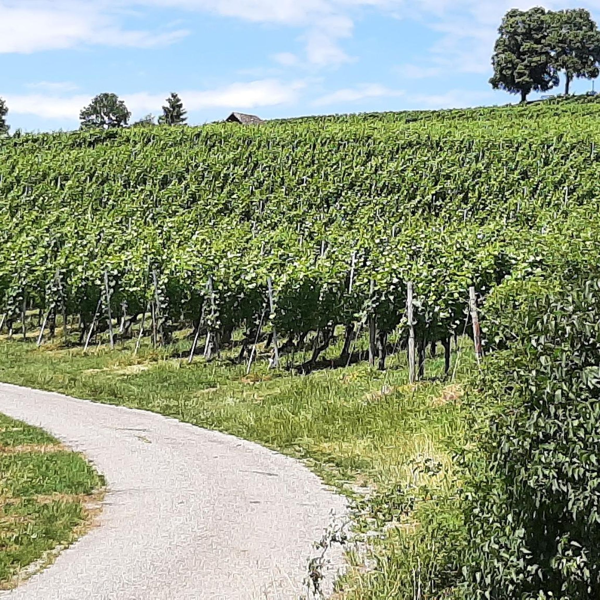
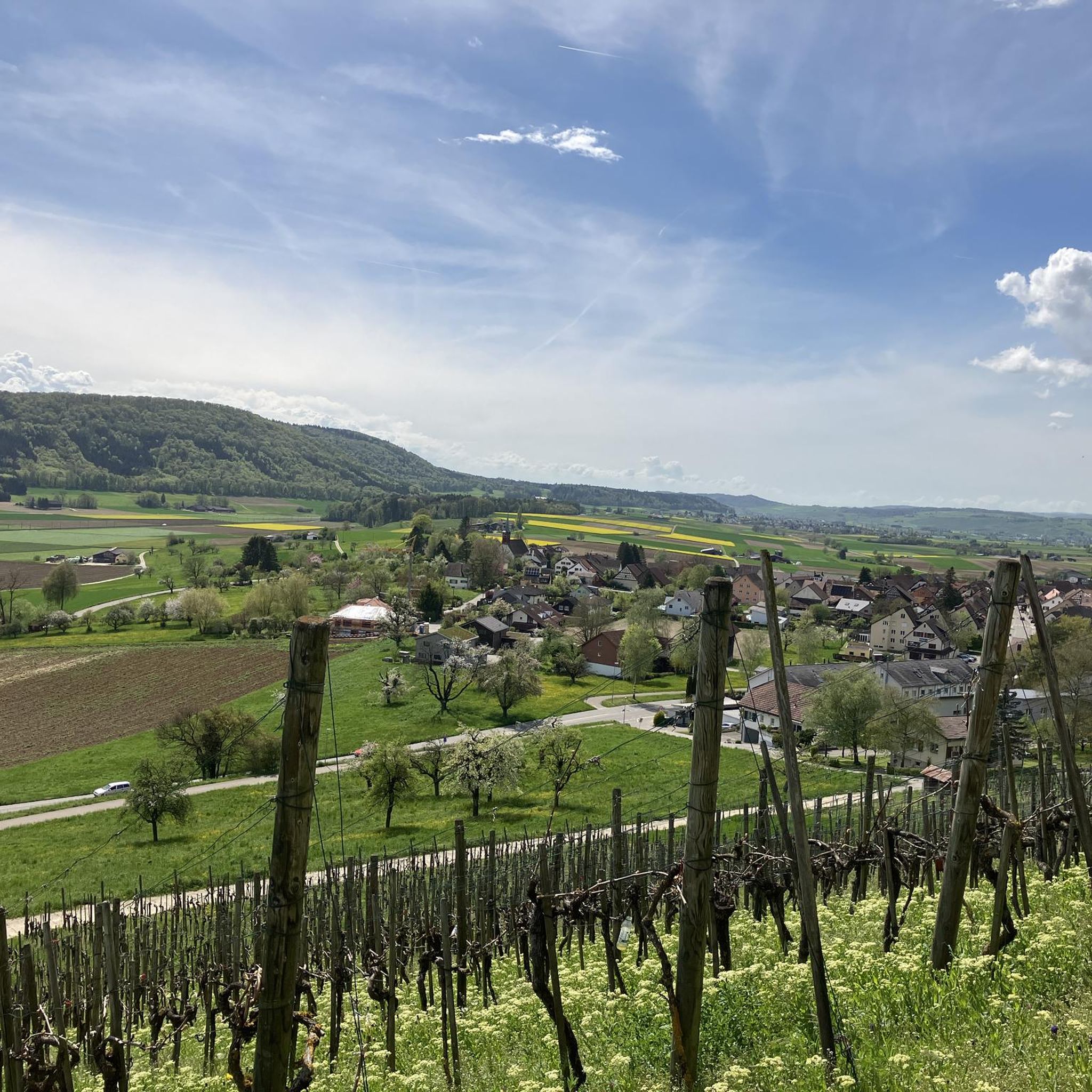
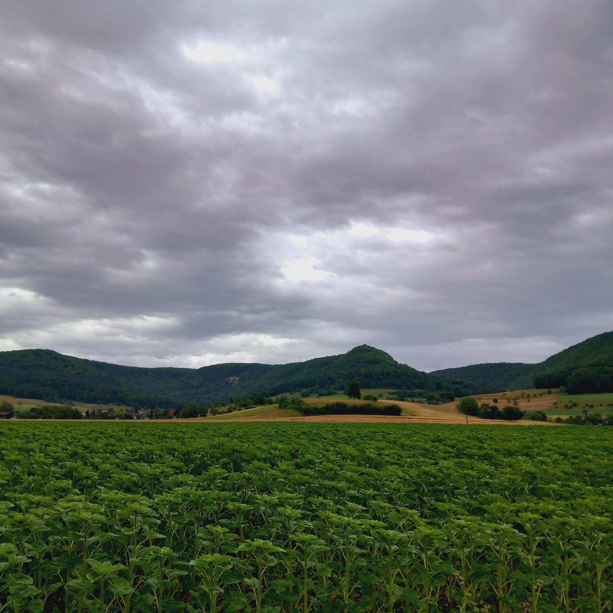
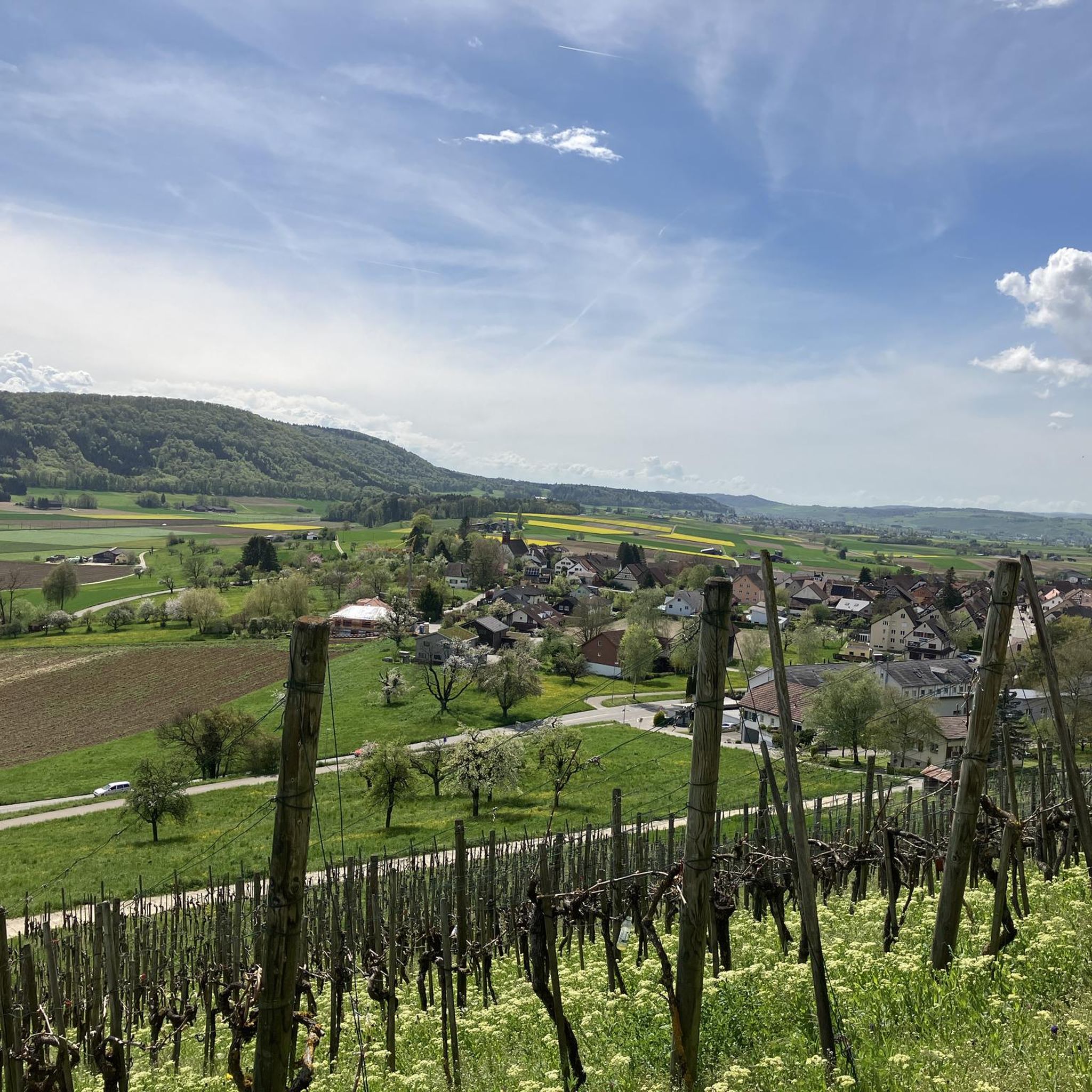
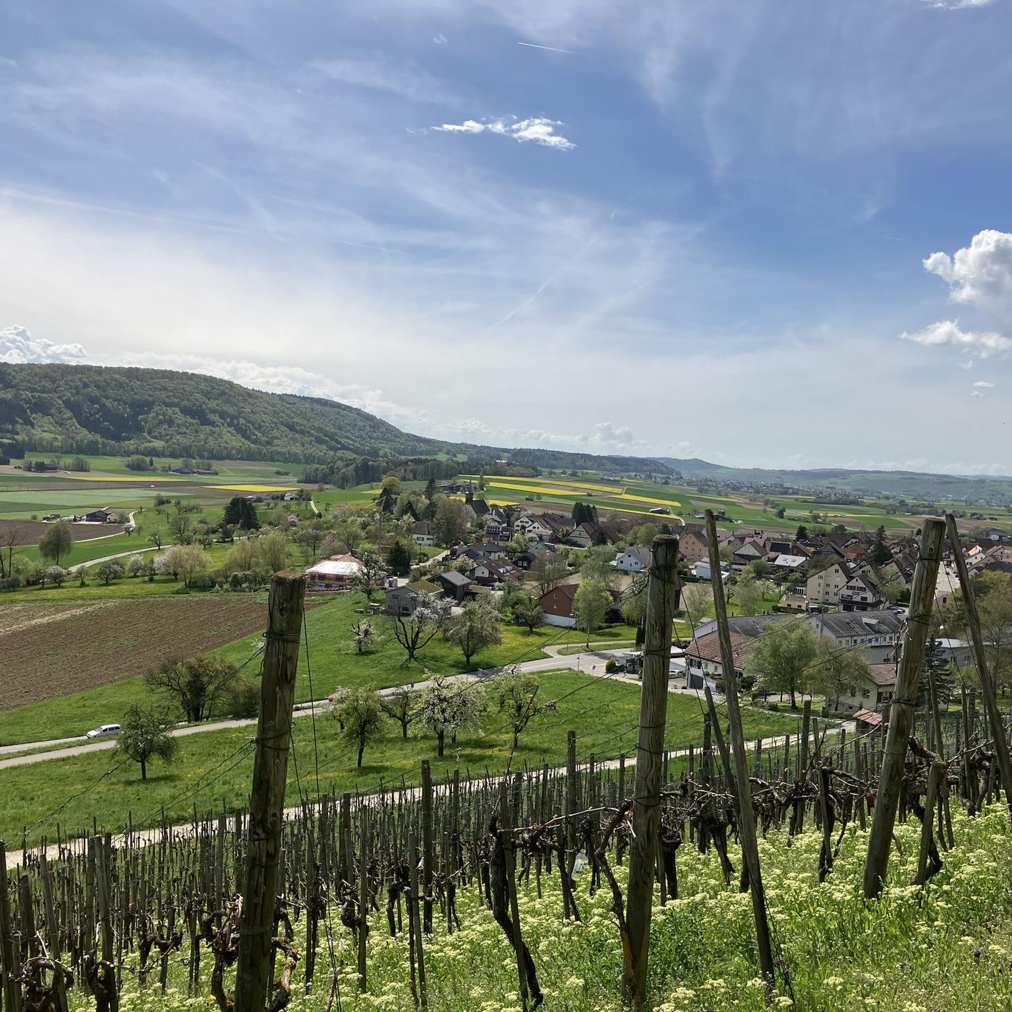
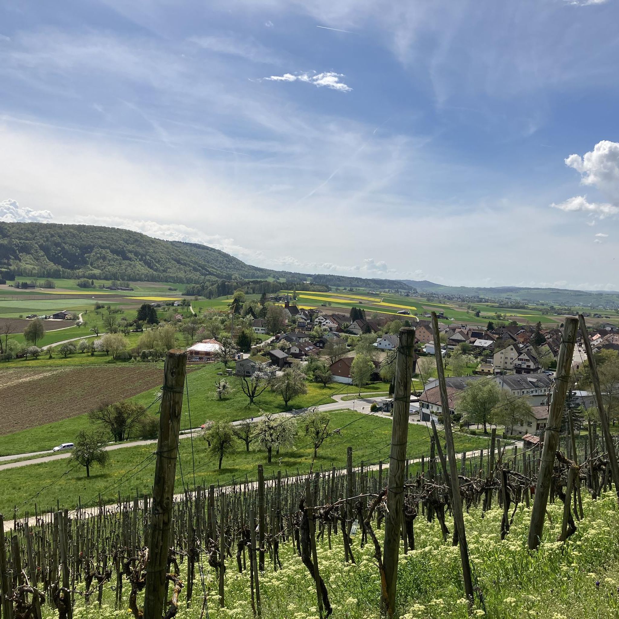
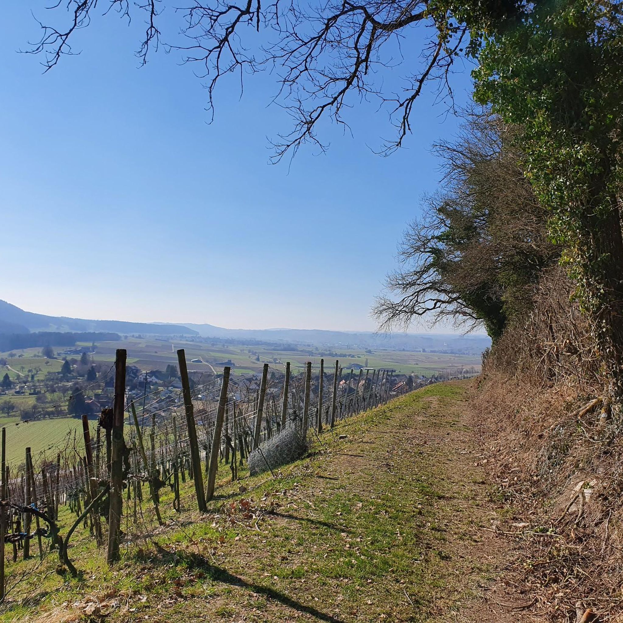
Hiking in Oberklettgau offers diverse landscapes, characterized by the Randen hill chain, extensive forests, and picturesque vineyards. The region features elevated villages, deep gorges, and a well-developed network of paths. This area, located in the northern tip of Switzerland, provides varied terrain for outdoor activities.
Best hiking trails in Oberklettgau
- The most popular hiking route is View of the Klettgau Valley – Siblinger Randen Tower loop from Löhningen, a 7.1 miles (11.4 km) trail that takes 3 hours 29…
Last updated: May 20, 2026
4.7
(3)
22
hikers
11.4km
03:30
370m
370m
Moderate hike. Good fitness required. Easily-accessible paths. Suitable for all skill levels.
3.4
(5)
18
hikers
Moderate hike. Good fitness required. Easily-accessible paths. Suitable for all skill levels.

Sign up for free
5.0
(1)
6
hikers
6.10km
01:40
100m
100m
Easy hike. Great for any fitness level. Easily-accessible paths. Suitable for all skill levels.
5.0
(2)
13
hikers
Moderate hike. Good fitness required. Easily-accessible paths. Suitable for all skill levels.
12
hikers
12.8km
03:36
260m
260m
Moderate hike. Good fitness required. Easily-accessible paths. Suitable for all skill levels.
4.5
(2)
5
hikers
Moderate hike. Good fitness required. Easily-accessible paths. Suitable for all skill levels.
5.0
(1)
3
hikers
15.3km
04:31
410m
410m
Moderate hike. Good fitness required. Easily-accessible paths. Suitable for all skill levels.
6
hikers
4.11km
01:07
50m
50m
Easy hike. Great for any fitness level. Easily-accessible paths. Suitable for all skill levels.
5.0
(1)
2
hikers
15.8km
04:47
490m
490m
Moderate hike. Good fitness required. Easily-accessible paths. Suitable for all skill levels.
2
hikers
17.4km
05:09
500m
500m
Hard hike. Very good fitness required. Easily-accessible paths. Suitable for all skill levels.
Get access to more routes and recommendations from other explorers.
Sign up for free
Already have an account?
Our route recommendations are based on thousands of hikes, rides, and runs completed by other people on komoot.
Start today with a free account
Your next adventure awaits.
Login or Signup

Tips from the Community

Thanks for the tip about the ruins, but I've been here before. I'm always amazed and impressed by how magnificent the view can be from here. You can see the mighty tree by the chapel, and with a little luck, a clear view of the Alps. From here, the world looks so beautiful (peaceful...). A tip is the path to the Rossberghof farm. From here, you can go down to the left to Osterfingen – but without me, at least never again on a mountain bike; the climb would be brutal... better take the road to the right, or to the Wasenhütte :-)
0
0

Radegg Castle Ruins (built in 1200, destroyed in 1300)
1
0

Nearby begins a path approximately 500 meters long, equipped with information boards providing information about the bog iron mining in the region.
0
0

In good weather you have a beautiful view of the Alpine peaks.
0
0

Unfortunately, the trail is very muddy in places and therefore unpleasant to ride.
1
0
Beautiful church with a special interior, situated on a prominent hilltop, clearly visible from far away.
1
0
The church of Wilchingen is visible from far away in the Klettgau
0
0
A large barbecue area with several tables and benches. The Sculpture Trail passes by here. The narrow path of the Schaffhausen Border Trail also begins here.
0
0
Frequently Asked Questions
How many hiking trails are available in Oberklettgau?
Oberklettgau offers a diverse network of over 38 hiking routes. These trails cater to various preferences, ranging from easy strolls to more challenging excursions through the region's varied landscapes.
What kind of terrain can I expect on hikes in Oberklettgau?
Hikes in Oberklettgau feature a rich variety of terrain. You'll traverse the extensive forests of the Randen hill chain, wander through picturesque vineyards, and explore deep gorges. The region's unique location also offers a blend of natural beauty and cultural landscapes.
Are there easy hiking options suitable for beginners or families?
Yes, Oberklettgau has plenty of easy hiking options. Approximately 21 of the available routes are classified as easy, making them ideal for beginners or families. An example is the Rossberghof Inn – Radegg Castle Ruins loop from Wasenhütte, which is about 3.9 miles (6.2 km) long and takes around 1 hour 42 minutes to complete.
Can I find circular hiking routes in Oberklettgau?
Many of the trails in Oberklettgau are designed as circular routes, allowing you to start and end at the same point. For instance, the View of the Klettgau Valley – Siblinger Randen Tower loop from Löhningen is a popular circular option offering scenic views.
What are some notable landmarks or attractions to see while hiking in Oberklettgau?
While hiking, you can discover several interesting landmarks and natural features. The Neunkirch Town Gate offers a glimpse into local history, and the Wangental Biotope provides a chance to observe local flora and fauna. Many routes also lead past the historic Wasen Hut.
When is the best time of year to go hiking in Oberklettgau?
Oberklettgau offers beautiful hiking experiences throughout the year. Spring brings blooming meadows and rare orchids, while summer allows you to enjoy the vibrant vineyards. Autumn is spectacular with colorful foliage, and winter provides a quiet, serene beauty. The choice depends on your preferred scenery and weather conditions.
Are there any routes that offer panoramic views?
Absolutely. The Randen hill chain is known for its superb panoramic views. From observation towers on the Randen, you can enjoy sweeping vistas into the neighboring country, and from the Siblinger Randenhaus, you might even catch a glimpse of the Swiss Alps. The views over the Klettgau vineyards are also breathtaking.
What do other hikers say about the trails in Oberklettgau?
The trails in Oberklettgau are highly regarded by the komoot community, holding an impressive average rating of 4.5 stars from over 1400 reviews. Hikers often praise the diverse landscapes, well-maintained paths, and the unique blend of forest, vineyard, and cultural experiences.
Are there options for longer, more challenging hikes in the region?
Yes, for those seeking a greater challenge, Oberklettgau offers several moderate to difficult routes. For example, the Siblingerhöhe – Siblinger Randen House loop from Gächlingen is a difficult 17.3 km trail with significant elevation gain, ideal for experienced hikers.
Are there places to stop for refreshments or a meal along the hiking trails?
Yes, some routes incorporate stops at local establishments. The Lueg is Land Vineyard Hut – St. Moritz Hill Church, Hallau loop from Gächlingen passes through the Hallau wine region, offering opportunities to experience local wines. The Siblinger Randenhaus is also a notable point along the Klettgau-Rhein-Weg where you can find refreshments.
What are the unique natural features I might encounter on a hike?
Beyond the expansive forests and vineyards, Oberklettgau is home to rare plant species. Nature enthusiasts might discover various orchids and local wild plants, such as wild garlic, especially in spring. The region's gorges also offer unique natural environments to explore.
Can I reach hiking trailheads in Oberklettgau using public transport?
While specific public transport details for every trailhead vary, the region is generally accessible. Towns like Hallau and Schaffhausen, which serve as starting or ending points for major routes like the Klettgau-Rhein-Weg, are connected by public transport, allowing access to the wider network of trails.
Most popular routes in Oberklettgau
Most popular attractions in Oberklettgau

Get inspired with the komoot mobile app


Didn’t find what you were looking for?
Check out more Hikes throughout Oberklettgau below and find the perfect route in your destination.
Explore more
Browse the best Hikes in other regions.
