The best road cycling routes around Pfaffenhofen
4.5
(209)
2,623
riders
88
rides
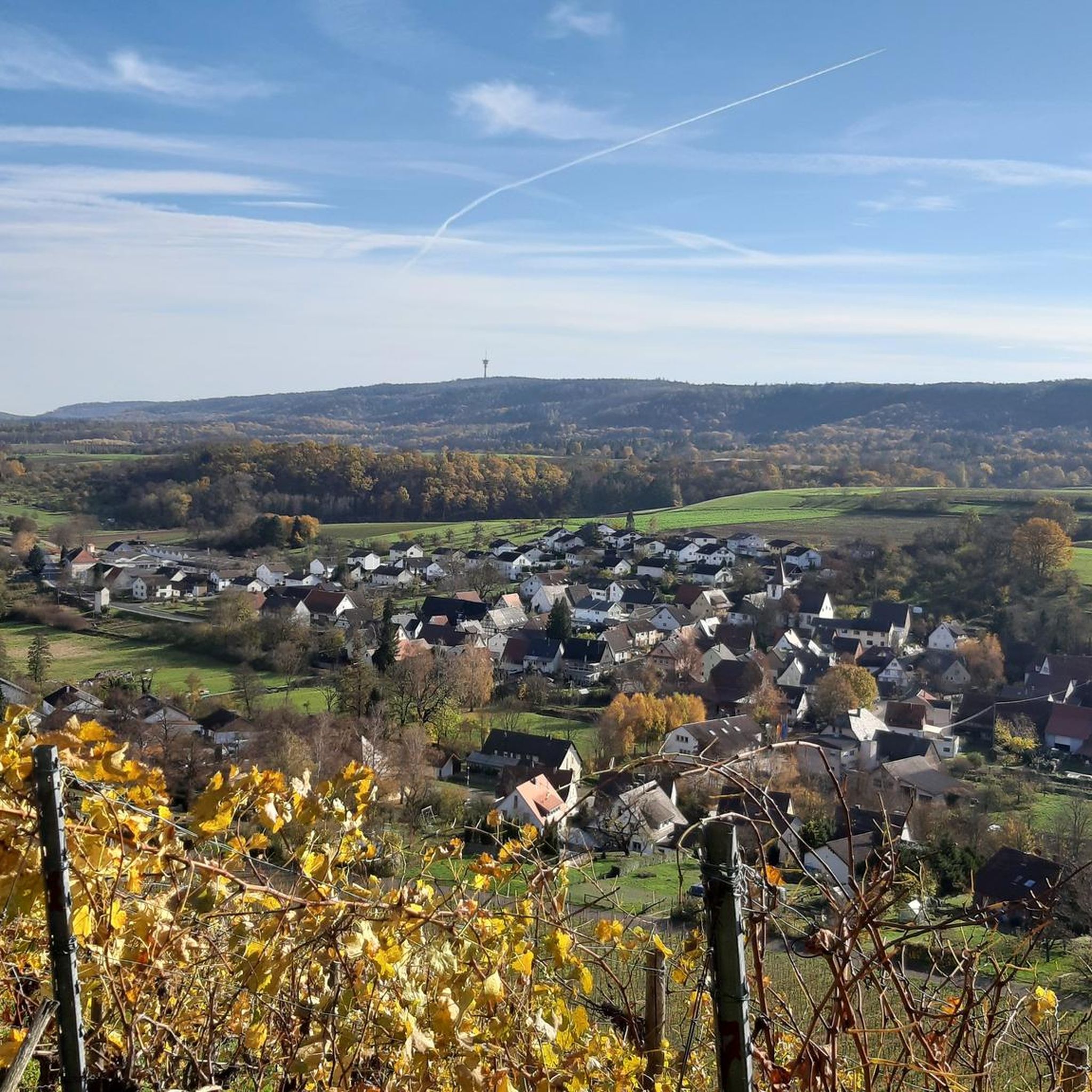
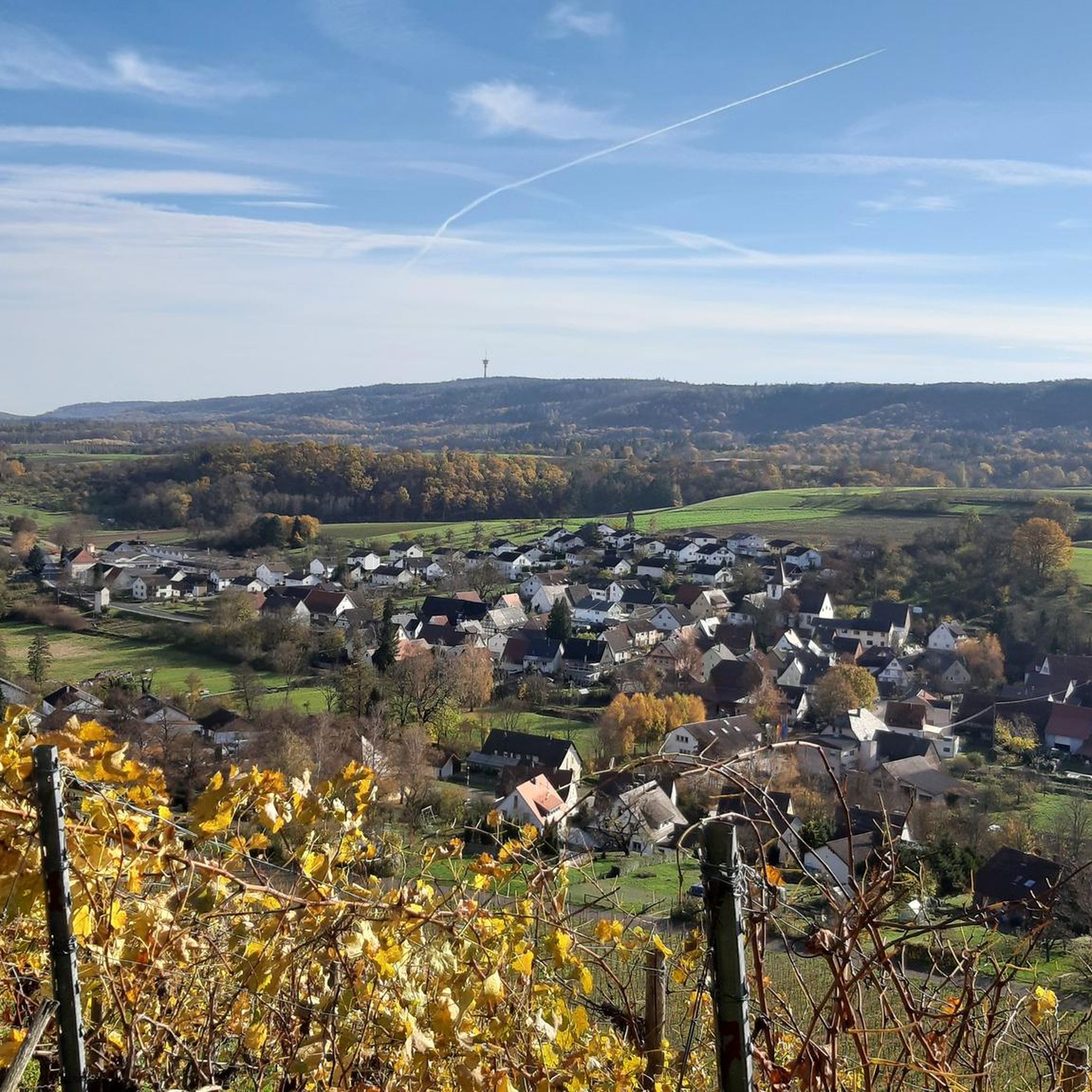
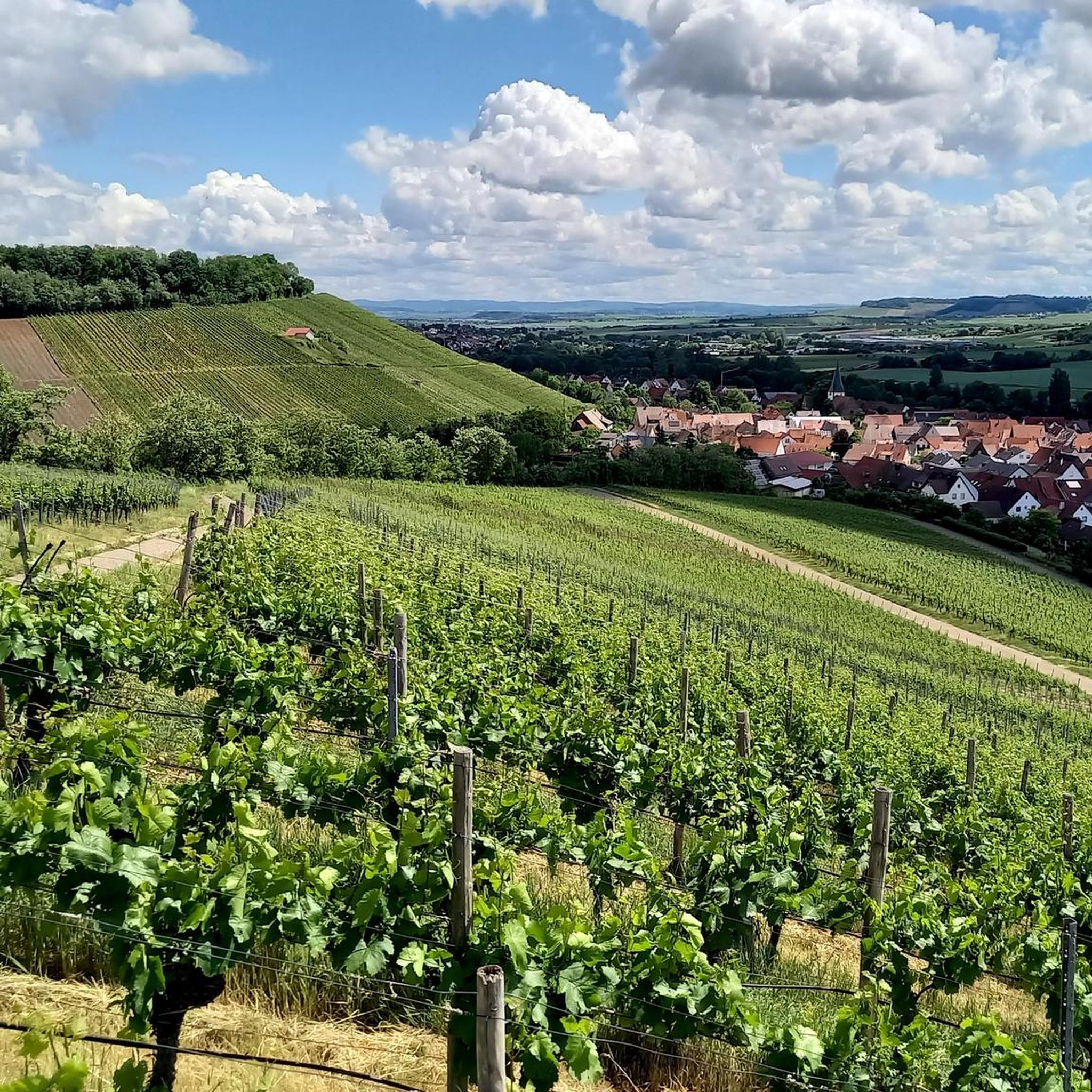
Road cycling around Pfaffenhofen features a landscape characterized by rolling hills, river valleys, and agricultural plains, offering varied terrain for cyclists. The region includes routes that traverse open countryside and connect smaller towns. Elevations are generally moderate, with some routes incorporating gradual ascents and descents. This area provides a network of roads suitable for different road cycling preferences.
Best road cycling routes around Pfaffenhofen
- The most popular road cycling route is Teufelsberg, Hohenhaslach – View of Hohenhaslach loop from Ochsenbach…
Last updated: October 8, 2026
4.4
(7)
69
riders
Moderate road ride. Good fitness required. Mostly well-paved surfaces and easy to ride.
4.8
(6)
71
riders
36.8km
01:30
170m
170m
Easy road ride. Great for any fitness level. Mostly well-paved surfaces and easy to ride.

48
riders
Moderate road ride. Great for any fitness level. Some segments of this route may be unpaved and difficult to ride.
3.8
(5)
36
riders
47.8km
02:09
200m
200m
Moderate road ride. Good fitness required. Mostly well-paved surfaces and easy to ride.
5.0
(5)
34
riders
31.3km
01:37
380m
370m
Moderate road ride. Good fitness required. Some segments of this route may be unpaved and difficult to ride.
Get access to more routes and recommendations from other explorers.
Already have an account?
Our route recommendations are based on thousands of hikes, rides, and runs completed by other people on komoot.
Start today with a free account
Your next adventure awaits.

Other adventures around Pfaffenhofen

Tips from the Community

The town center and village square in Haberschlach (an idyllic wine village part of Brackenheim) are significantly shaped by the historic wine press square. The most striking building in the town center was built in 1837 and today serves as the central venue for local events and festivals. Directly at the Alte Kelter (Old Wine Press) is the Mann-im-Fass-Skulptur (Man in the Barrel Sculpture), which symbolizes the deep roots of the place in Württemberg winegrowing.
7
0


Every evening at 7:20 PM (at the time of the air raid on 4.12.1944), the carillon plays the melody “Kein schöner Land”. In the morning at 10:55 AM, the five melodies “Kein Schöner Land”, “Am Neckar, am Neckar”, “Jetzt gang I ans Brünnle”, “Wenn alle Brünnlein fließen” and “Am Brunnen vor dem Tore” alternate.
0
0

The vineyard path passes a game fence.
0
0

Bronze sculpture by Hermann Koziol
1
0

Great sculpture of the "Man in a Barrel" in front of the town hall in the center of Haberschlacht.
5
0
Beautiful village center of Haberschlacht with the town hall and the sculpture of the "Man in the Barrel" in front of it, the church, the village fountain and the bench next to it and the "Milchhäusle"!
4
0

experimenta in Heilbronn is Germany's largest science center. 🧪 Interactive exhibitions, a spectacular 360° Science Dome, and exciting hands-on labs await you – perfect for curious minds of all ages.
4
0
Frequently Asked Questions
How many road cycling routes are available in the Pfaffenhofen region?
There are over 80 road cycling routes around Pfaffenhofen, offering a wide variety of options for different skill levels and preferences. The komoot community has explored these routes over 2,300 times.
Are there easy road cycling routes suitable for beginners in Pfaffenhofen?
Yes, Pfaffenhofen offers a good selection of easy road cycling routes. Approximately 30 routes are rated as easy, such as the ZUG Beer Garden – Zabergäu Cycle Path loop from GVV Oberes Zabergäu, which is 22.8 miles (36.8 km) long and follows the scenic Zabergäu Cycle Path.
What kind of terrain can I expect on road cycling routes around Pfaffenhofen?
The Pfaffenhofen region is characterized by rolling hills, picturesque river valleys, and expansive agricultural plains. While most routes feature moderate elevations, some include gradual ascents and descents, providing varied terrain for cyclists.
Are there any circular road cycling routes in Pfaffenhofen?
Many routes in Pfaffenhofen are designed as loops, offering convenient circular journeys. An example is the Schwaigern Old Town loop from Kleingartach, a 15.6 miles (25.1 km) route that takes you through historical town areas.
What are some notable attractions or scenic viewpoints along the road cycling routes?
While cycling, you can encounter various points of interest. The region features several mountain passes like the Hill Pass "Hohe Reute" and the Bannhalde Hill Pass. You might also pass through gorges such as the Sauhöhle Hollow Way or the Ransbach Gorge, offering diverse natural scenery.
Are there more challenging road cycling routes for experienced riders?
Yes, for more advanced road cyclists, there are routes with greater distances and elevation gains. The region offers 50 moderate and 4 difficult routes. An example of a moderate route is Teufelsberg, Hohenhaslach – View of Hohenhaslach loop from Ochsenbach, which covers 39.3 miles (63.2 km) with over 560 meters of elevation gain.
What is the best time of year for road cycling in Pfaffenhofen?
The spring, summer, and early autumn months (typically April to October) are ideal for road cycling in Pfaffenhofen. During these periods, the weather is generally mild, and the agricultural landscapes are at their most vibrant. Winter cycling is possible but may require more preparation due to colder temperatures and potential for ice or snow.
Are there road cycling routes that are accessible by public transport?
While specific public transport connections to route starting points vary, many towns and villages in the Pfaffenhofen region are served by local bus or train lines. Cyclists can often use these services to reach a starting point or return from an endpoint, though checking local timetables and bike carriage policies is recommended.
What do other road cyclists enjoy most about the routes in Pfaffenhofen?
The road cycling routes in Pfaffenhofen are highly rated by the komoot community, with an average score of 4.5 stars from over 170 reviews. Cyclists often praise the varied terrain, the scenic views over rolling hills and river valleys, and the network of roads that connect charming smaller towns.
Are there any routes that pass by places to stop for refreshments or a cafe?
Many road cycling routes in Pfaffenhofen pass through or near villages and towns where you can find local bakeries, cafes, or traditional inns (Gasthäuser) for a refreshment stop. Planning your route with komoot allows you to identify such points of interest along the way.
Can I find routes that offer views of historical sites or old town areas?
Yes, some routes are designed to take you through areas with historical significance. For instance, the Schwaigern Old Town loop from Kleingartach leads directly through historical town areas, allowing you to combine your ride with cultural exploration.
Most popular routes around Pfaffenhofen
Most popular attractions around Pfaffenhofen

Get inspired with the komoot mobile app


Explore more
Browse the best Road cycling routes in other regions.
