The best MTB trails around Oberengstringen
4.5
(1642)
9,903
riders
291
rides
Mountain biking around Oberengstringen offers a diverse landscape within the Limmat Valley, characterized by the Limmat River and its surrounding flat valley floor. The region features extensive forested hills, including the Altberg, Gubrist, and Hönggerberg areas, which provide varied single trails. These routes often ascend to offer views above the Zurich Limmat Valley and the Furttal. The terrain includes a mix of urban sections, rural stretches, and secluded paths, catering to different preferences.
Best mountain bike trails around Oberengstringen
- The most popular mountain bike trail is Uetliberg Summit Viewpoint – Uetliberg Wallride loop from Zürich Altstetten, a 9.8 miles (15.7 km) trail that takes 1 hour 22 minutes to complete. This moderate route offers views from Uetliberg and includes a wallride section.
- Another top favourite among local mountain bikers is View of Zurich from the Waid – Altberg Observation Tower loop from Regensdorf-Watt, a moderate 16.3 miles (26.2 km) path. This route provides views of Zurich and passes by the Altberg Observation Tower through forested areas.
- Local mountain bikers also love the Uetliberg Trail A1 – Lake Türler loop from Zürich Altstetten, a 24.4 miles (39.2 km) trail leading through the Uetliberg area and towards Lake Türler, often completed in about 2 hours 55 minutes.
- Mountain biking around Oberengstringen is defined by riverine landscapes, extensive forested hills like the Altberg and Uetliberg, and varied single trails. The network offers options for easy, moderate, and difficult routes, accommodating different ability levels.
- The routes in Oberengstringen are highly rated by the komoot community with an average score of 4.6 stars from over 1,400 reviews. More than 11,000 mountain bikers have used komoot to explore Oberengstringen's varied terrain.
Last updated: October 8, 2026
4.8
(42)
448
riders
15.8km
01:21
450m
450m
Moderate mountain bike ride. Good fitness required. Advanced riding skills necessary.
4.7
(28)
157
riders
Moderate mountain bike ride. Good fitness required. Suitable for all skill levels.

4.8
(29)
142
riders
39.3km
02:56
780m
780m
Moderate mountain bike ride. Good fitness required. Suitable for all skill levels.
4.4
(19)
97
riders
Hard mountain bike ride. Good fitness required. Advanced riding skills necessary. Some portions of the route may require you to push your bike.
4.8
(18)
101
riders
19.0km
01:38
540m
540m
Moderate mountain bike ride. Good fitness required. Advanced riding skills necessary.
Get access to more routes and recommendations from other explorers.
Already have an account?
Our route recommendations are based on thousands of hikes, rides, and runs completed by other people on komoot.
Start today with a free account
Your next adventure awaits.
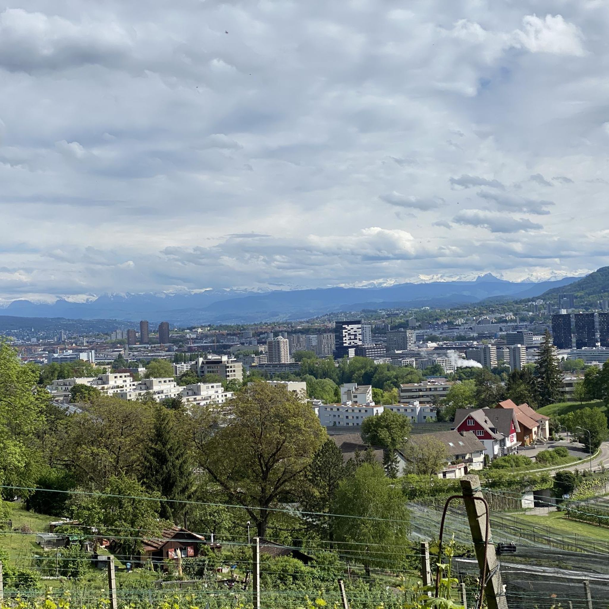
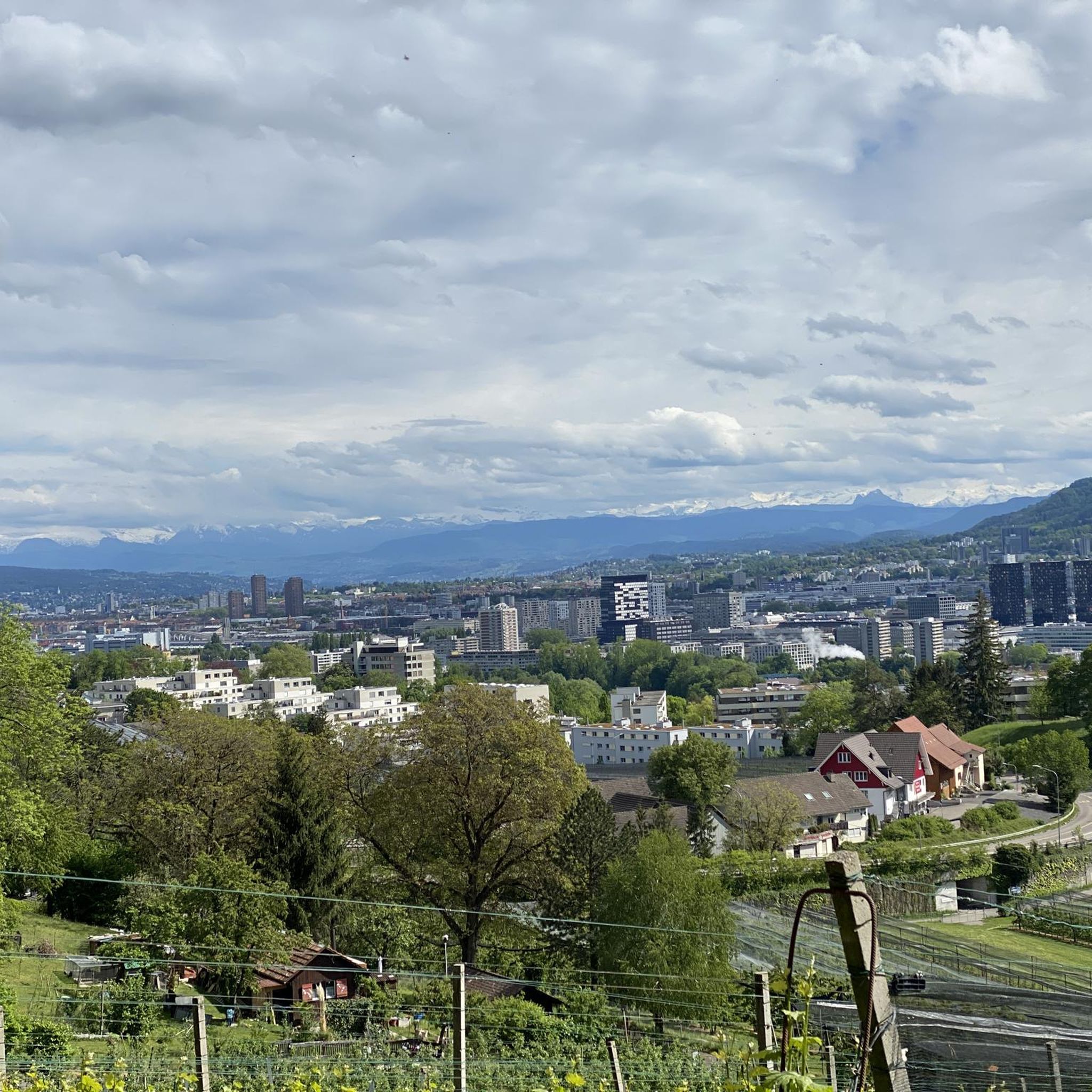
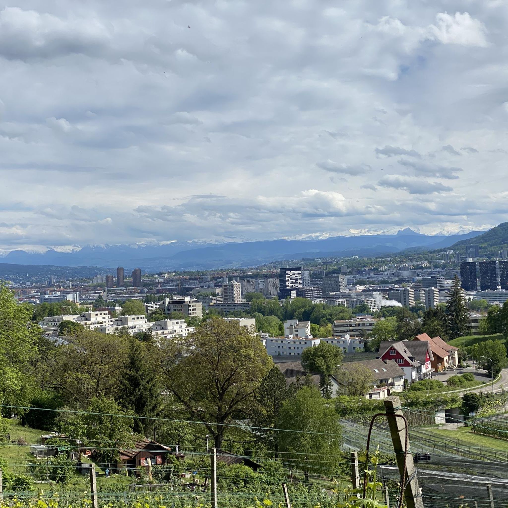
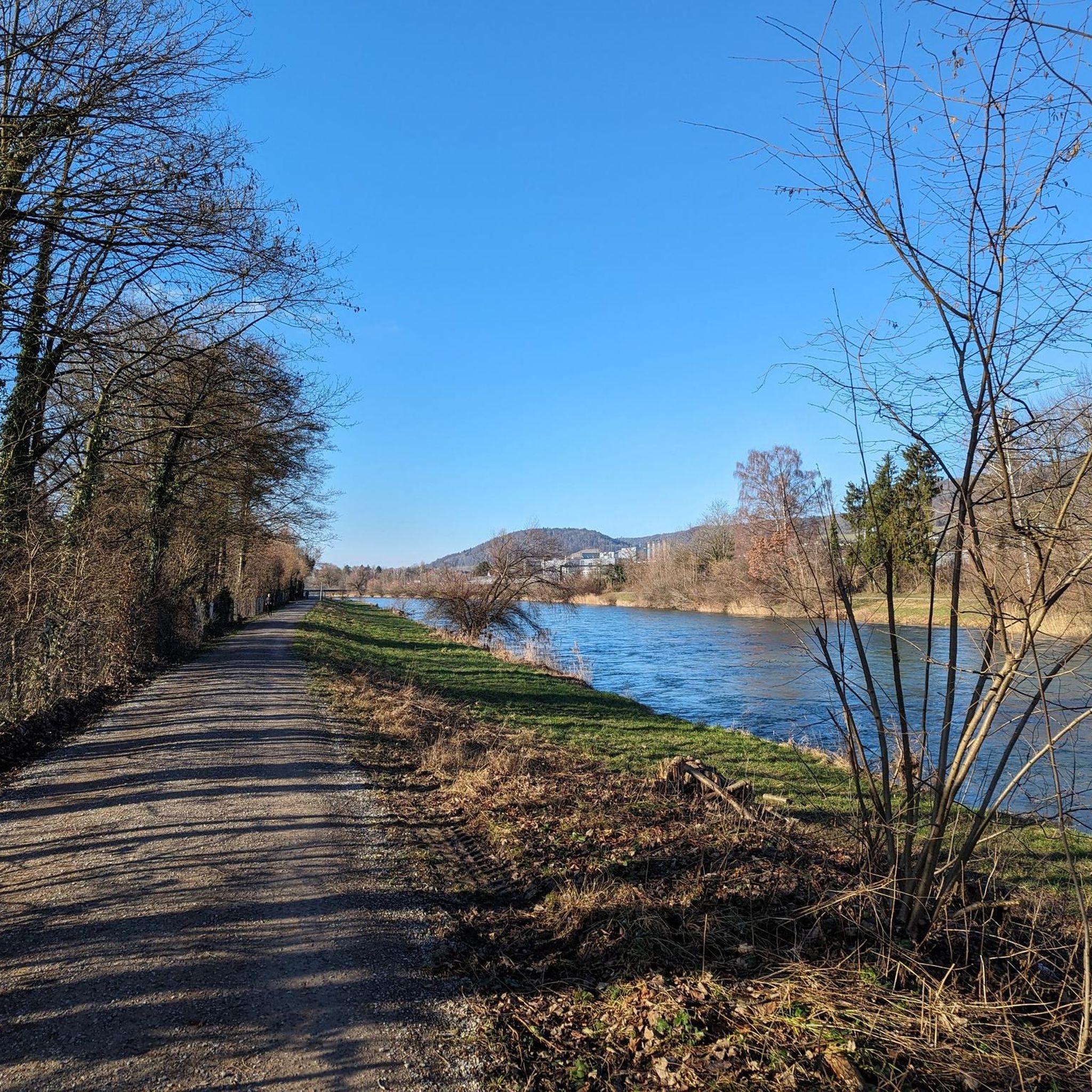
Tips from the Community

The Türlersee is a beautiful place for a little break in nature. The lake can be circled on varied paths and always offers beautiful views of the water. Two officially marked bathing spots invite you to cool off on warm days. Those who prefer to swim in the beach bath will find a paid option directly at the campsite. There is also a self-service restaurant there for a relaxing break. Numerous barbecue areas, benches, and jetties leading into the lake invite you to linger and observe nature. Thanks to the many shady sections, the Türlersee is a worthwhile destination even on hot days.
0
0

Fantastic views as far as the eye can see 🤩
0
0
Fantastic views as far as the eye can see 🤩
0
0

A beautiful circular route where you can see many water birds and get good photos of them.
0
0

This tower is a radar station (secondary radar) for air traffic control and is operated by Skyguide. It processes exclusively echoes actively emitted by flying objects. Unlike the primary radar, which also uses echoes emitted immediately beforehand.
0
0


Frequently Asked Questions
How many mountain bike trails are available around Oberengstringen?
There are over 330 mountain bike trails around Oberengstringen, offering a wide range of options for different skill levels. This includes more than 95 easy routes, over 200 moderate routes, and 30+ difficult trails.
Are there any easy mountain bike trails suitable for beginners in Oberengstringen?
Yes, Oberengstringen offers over 95 easy mountain bike routes. These trails often follow the flat valley floor along the Limmat River or explore less challenging sections of the forested hills, providing a gentle introduction to mountain biking in the region.
What kind of terrain can I expect on mountain bike trails around Oberengstringen?
The terrain around Oberengstringen is varied, ranging from flat sections along the Limmat River to slightly ascending single trails in the forested hills. You'll encounter a mix of urban paths, rural stretches, and secluded forest trails, particularly in areas like the Altberg, Gubrist, and Hönggerberg.
Are there any family-friendly mountain bike trails in Oberengstringen?
While specific family-friendly routes are not highlighted, the region's numerous easy trails, particularly those along the Limmat River, are generally suitable for families. These routes often feature car-free sections and pleasant scenery.
Can I bring my dog on the mountain bike trails around Oberengstringen?
Many trails in the Oberengstringen area, especially those through forested areas and along the Limmat River, are generally dog-friendly. However, it's always advisable to keep your dog on a leash, especially in nature protection zones or when encountering other trail users.
What are some scenic mountain bike routes with good viewpoints near Oberengstringen?
Many routes offer stunning views, particularly from the higher elevations. For panoramic vistas, consider trails that ascend towards the Uetliberg. For example, the Uetliberg Viewing Terrace – Uetliberg Summit Viewpoint loop from Schlieren provides excellent views over Zurich and the Alps. The Altberg area also offers scenic forest routes with occasional viewpoints.
Are there any loop mountain bike trails around Oberengstringen?
Yes, many mountain bike trails in the region are designed as loops, allowing you to start and end at the same point. An example is the View of Zurich from the Waid – Altberg Observation Tower loop from Regensdorf-Watt, which takes you through forested areas and past the Altberg Observation Tower.
What attractions or landmarks can I see along the mountain bike trails?
Beyond the natural beauty of the Limmat Valley and forested hills, you can explore various points of interest. The Uetliberg offers the Uetliberg Summit Viewpoint and the Uto Kulm Restaurant. You might also encounter historical sites like Regensberg Castle and Historic Village or Kindhausen Castle Ruins, which are part of the rich cultural landscape surrounding Oberengstringen.
How can I access the mountain bike trails using public transport or find parking?
Oberengstringen is well-connected within the Zurich canton. Many trailheads are accessible via public transport, especially in areas closer to Zurich city or larger towns. For those driving, parking is often available near popular starting points or in local villages, though it's always good to check specific route details for parking information.
What do other mountain bikers enjoy most about mountain biking in Oberengstringen?
The area is highly rated by the komoot community, with an average score of 4.6 stars from over 1,400 reviews. Reviewers often praise the diverse landscape, the mix of riverine paths and challenging forest trails, and the stunning views from elevated points like Uetliberg and Altberg.
Are there any advanced or difficult mountain bike trails near Oberengstringen?
Yes, for experienced riders, there are over 30 difficult mountain bike trails. These routes often feature significant ascents and descents, particularly in the Uetliberg area. An example is the Uetliberg Trail A1 – Lake Türler loop from Zürich Altstetten, which covers a substantial distance and elevation gain.
Where can I find cafes or restaurants near the mountain bike trails in Oberengstringen?
Oberengstringen and its surrounding towns in the Limmat Valley offer various cafes and restaurants. Many routes pass through or near villages where you can find refreshments. The Uto Kulm Restaurant on Uetliberg is a popular stop for riders on trails in that area, offering food with panoramic views.
Most popular routes around Oberengstringen
Most popular attractions around Oberengstringen

Get inspired with the komoot mobile app


Explore more
Browse the best MTB trails in other regions.
