The best walks and hikes around Oberbösa
4.6
(2454)
7,827
hikers
468
hikes
Hiking around Oberbösa offers a diverse landscape characterized by rolling hills, dense woodlands, and historical sites. The region features a network of trails that traverse varied terrain, including paths along rivers and routes leading to scenic viewpoints. Elevation changes are generally moderate, making the area accessible for different hiking preferences.
Best hiking trails around Oberbösa
- The most popular hiking route is Kohnstein Parking Area – Wipper Bridge loop from Seega, a 6.9 miles (11.1 km) trail that takes 3…
Last updated: August 25, 2026
4.4
(7)
24
hikers
11.3km
03:12
250m
250m
Moderate hike. Good fitness required. Easily-accessible paths. Suitable for all skill levels.
4.6
(15)
28
hikers
4.56km
01:22
150m
150m
Easy hike. Great for any fitness level. Easily-accessible paths. Suitable for all skill levels.

Sign up for free
4.9
(21)
46
hikers
5.91km
01:45
180m
180m
Easy hike. Great for any fitness level. Easily-accessible paths. Suitable for all skill levels.
4.6
(8)
26
hikers
7.94km
02:20
230m
230m
Moderate hike. Good fitness required. Easily-accessible paths. Suitable for all skill levels.
4
hikers
8.86km
02:27
160m
160m
Moderate hike. Good fitness required. Easily-accessible paths. Suitable for all skill levels.
Get access to more routes and recommendations from other explorers.
Sign up for free
Already have an account?
Our route recommendations are based on thousands of hikes, rides, and runs completed by other people on komoot.
Start today with a free account
Your next adventure awaits.
Login or Signup
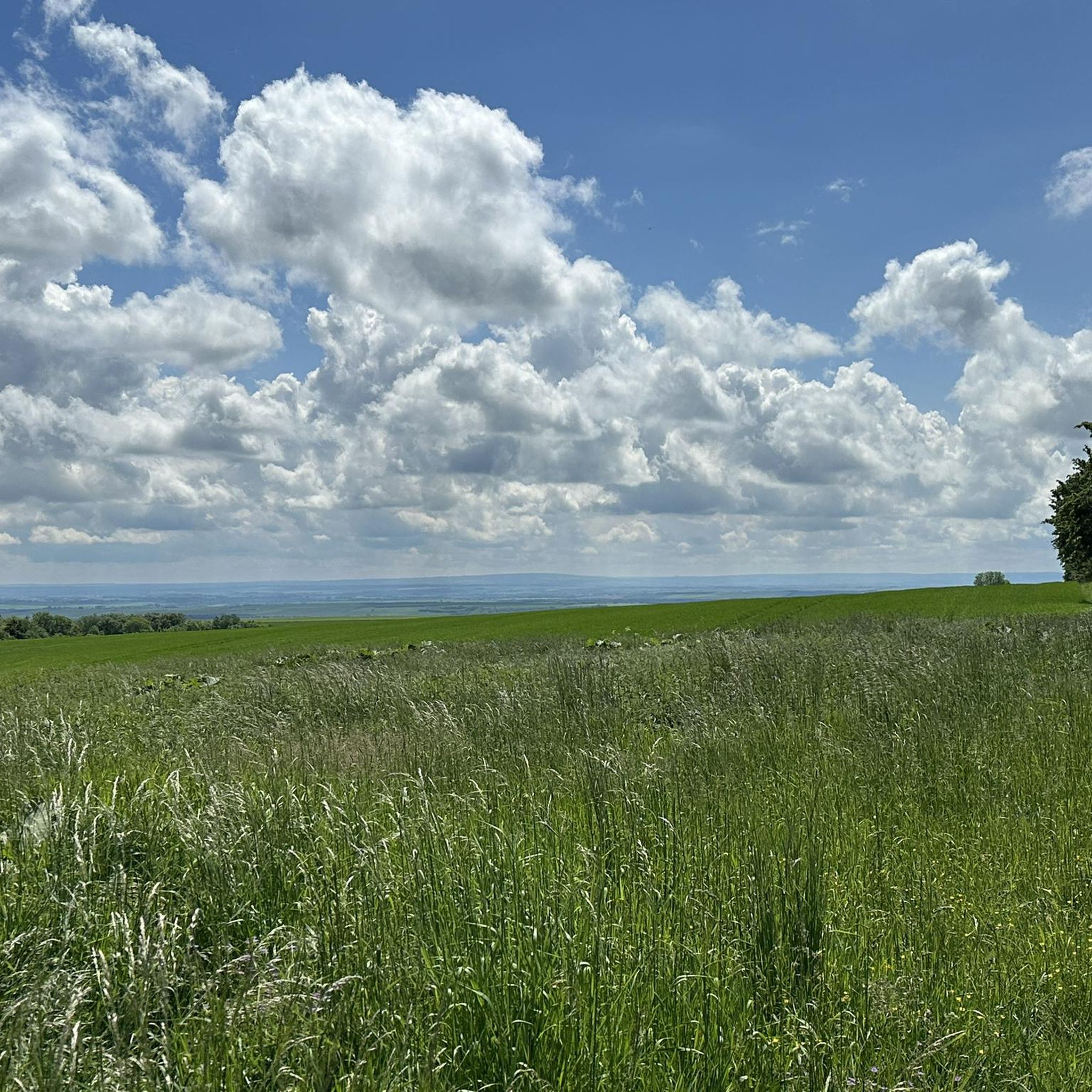
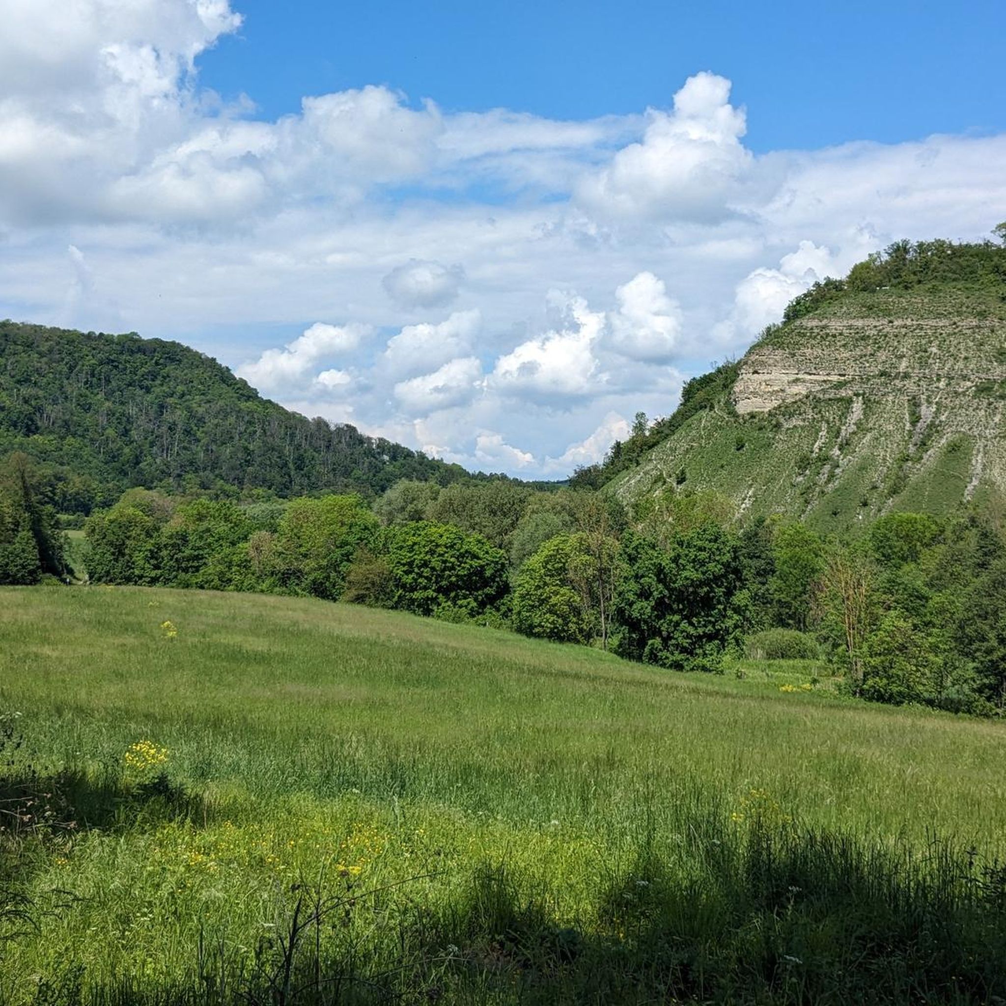
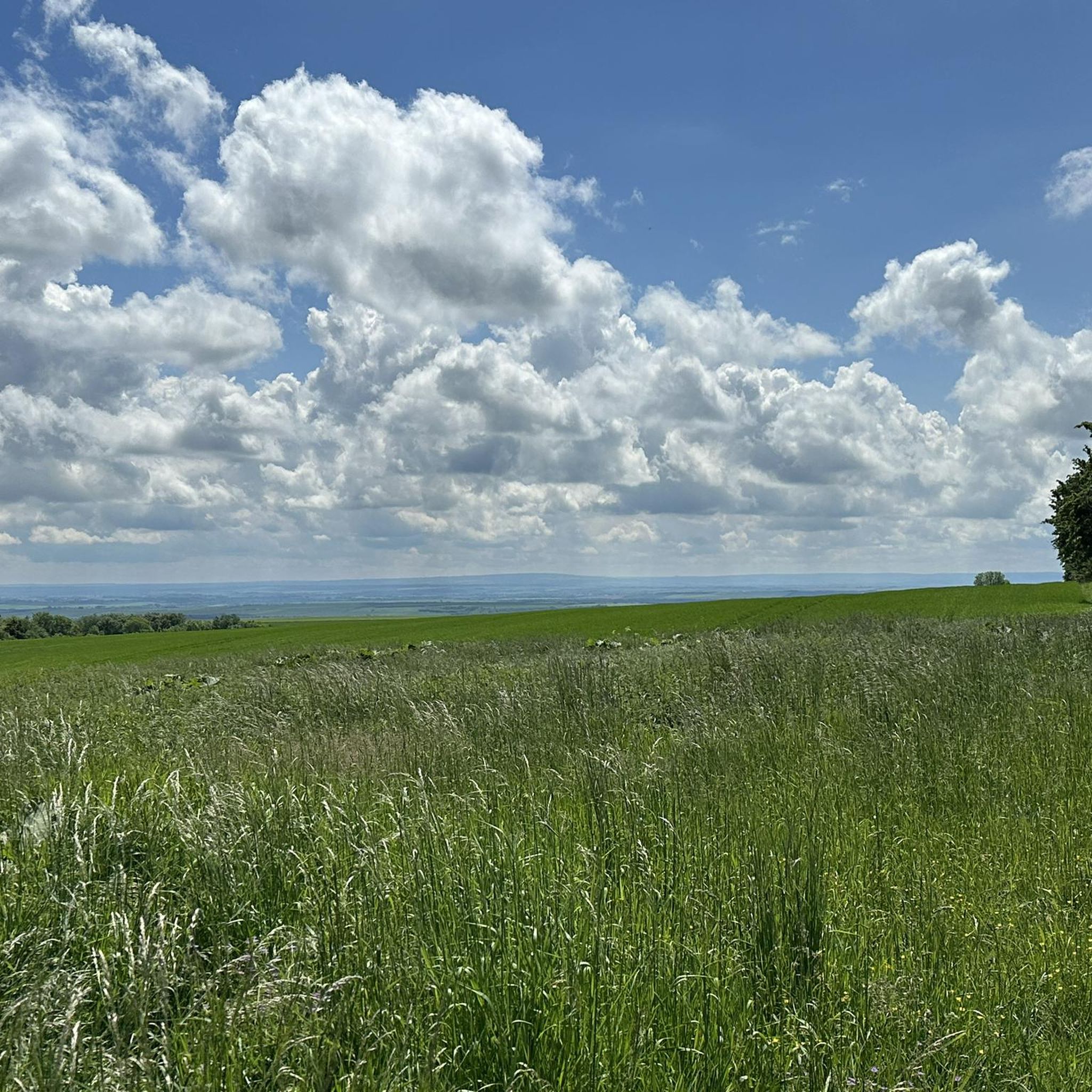
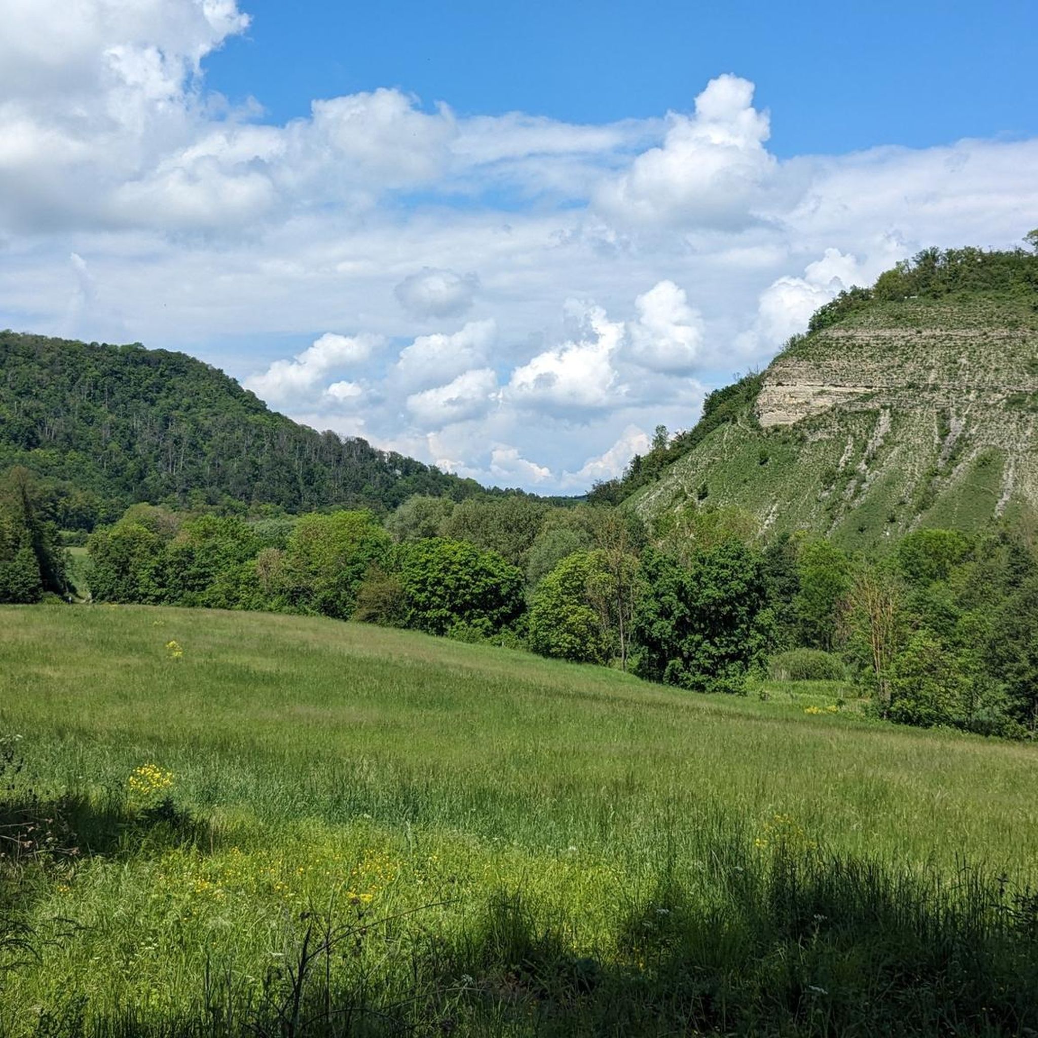
Tips from the Community


Beautiful view and resting place.
0
0

From the Kohnstein you have a very beautiful view of the Hainleite with the adjacent Schmücke. A place to linger :).
0
0
Under the motto "Orchid Hike", the municipality invites you to a guided hike on the weekend after Pentecost.
0
0
From the Mühlberg, you have a wonderful view of Günserode & the Hainleite. The Mühlberg with its lean grasslands is predestined for the wild orchids in the region.
0
0

Perfect place to take a short stop before or after the climb.
1
0

Beautiful views from here... best place for a picnic 👍
1
0

Beautiful, modern rest area directly on the cycle path with information boards.
1
0
Frequently Asked Questions
How many hiking trails are available around Oberbösa?
There are over 460 hiking trails in the Oberbösa region, offering a wide variety of options for different skill levels and preferences. The komoot community has explored these routes over 7,300 times.
Are there easy hiking trails suitable for beginners or families in Oberbösa?
Yes, Oberbösa offers many easy trails. For a pleasant walk, consider the Kohnstein Parking Area – Arnsburg Ruins loop from Seega, an easy 2.8-mile (4.5 km) path that winds through woodlands to historical ruins. There are 229 easy routes in total.
What are some longer hiking options in the Oberbösa area?
For a longer hike, the Kohnstein Parking Area – Wipper Bridge loop from Seega is a moderate 6.9-mile (11.1 km) trail that follows the Wipper river and offers varied scenery. Another good option is the Klostergut Bonnrode – Arnsburg Ruins loop from Klostergut Bonnrode, which is 9.3 km long.
Are there any challenging hikes around Oberbösa?
While the region is generally characterized by rolling hills and moderate elevation changes, there are 53 routes classified as difficult for those seeking a greater challenge. These trails often feature steeper ascents and more rugged terrain.
What kind of natural attractions or landmarks can I see while hiking in Oberbösa?
The region is rich in natural beauty and historical sites. You can explore impressive gorges like the Thuringian Gate or the Steep Slope of the Wipper (Wipperdurchbruch). There are also beautiful water features such as the Gründelsloch Karst Spring and the Gondola Pond.
Are there circular hiking routes available in Oberbösa?
Yes, many of the trails around Oberbösa are designed as circular routes, allowing you to start and end at the same point. Examples include the Kohnstein Parking Area – Kohnstein Viewpoint loop from Seega and the Kohnstein Parking Area – Linden Avenue loop from Seega.
Are the hiking trails in Oberbösa dog-friendly?
Most hiking trails in the Oberbösa region are generally dog-friendly, especially those through woodlands and open fields. However, it's always advisable to keep dogs on a leash, especially near wildlife or livestock, and to check local regulations for specific areas or nature reserves.
Where can I find parking for hiking trails in Oberbösa?
Many popular routes, such as those starting near Seega, utilize the Kohnstein Parking Area as a convenient starting point. Other trails may have designated parking at trailheads or nearby villages. It's recommended to check the specific tour details on komoot for parking information.
Are there viewpoints along the hiking trails in Oberbösa?
Yes, the region's rolling hills offer several scenic viewpoints. The Kohnstein Parking Area – Kohnstein Viewpoint loop from Seega specifically leads to a notable scenic outlook, providing panoramic views of the surrounding forested areas.
What do other hikers enjoy most about hiking in Oberbösa?
The hiking routes in Oberbösa are highly rated by the komoot community, with an average score of 4.6 stars from over 2,000 reviews. Hikers often praise the diverse landscape, including rolling hills and dense woodlands, as well as the historical sites like the Arnsburg Ruins.
Can I find places to eat or have a coffee near the hiking trails?
Yes, there are options for refreshments. For example, the Waldgaststätte Cleric is a restaurant located near some of the trails and the Cleric Forest Inn Fish Ponds, offering a place to rest and refuel.
Is Oberbösa suitable for winter hiking?
The diverse landscape of Oberbösa, with its woodlands and rolling hills, can be beautiful for winter hiking, especially after snowfall. However, trail conditions can vary, so it's important to check weather forecasts and trail reports, and ensure you have appropriate gear for potentially icy or snowy paths.
Most popular attractions around Oberbösa

Get inspired with the komoot mobile app


Explore more
Browse the best Hikes in other regions.
