The best walks and hikes around Oberahr
4.5
(8754)
29,870
hikers
1,044
hikes
Hiking around Oberahr offers access to the diverse landscapes of the Ahr Valley, characterized by a mix of gentle hills, rocky outcrops, and extensive vineyard terraces. The region features wide meadow plateaus and serene forest paths, providing varied scenery for hikers. Trails often follow the Ahr River and its tributaries, adding to the scenic beauty. This area is known for its network of well-established trails catering to various difficulty levels.
Best hiking trails around Oberahr
- The most popular hiking route…
Last updated: October 4, 2026
4.6
(25)
93
hikers
9.10km
02:26
100m
100m
Moderate hike. Good fitness required. Easily-accessible paths. Suitable for all skill levels.
4.7
(12)
34
hikers
5.09km
01:21
50m
50m
Easy hike. Great for any fitness level. Easily-accessible paths. Suitable for all skill levels.

5.0
(3)
15
hikers
7.93km
02:15
180m
180m
Moderate hike. Good fitness required. Easily-accessible paths. Suitable for all skill levels.
5.0
(2)
11
hikers
Easy hike. Great for any fitness level. Easily-accessible paths. Suitable for all skill levels.
4.0
(3)
10
hikers
5.21km
01:27
90m
100m
Easy hike. Great for any fitness level. Easily-accessible paths. Suitable for all skill levels.
Get access to more routes and recommendations from other explorers.
Already have an account?
Our route recommendations are based on thousands of hikes, rides, and runs completed by other people on komoot.
Start today with a free account
Your next adventure awaits.
Tips from the Community

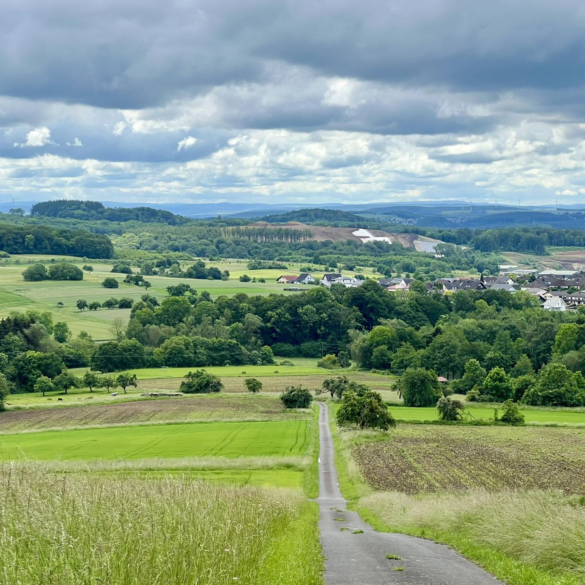
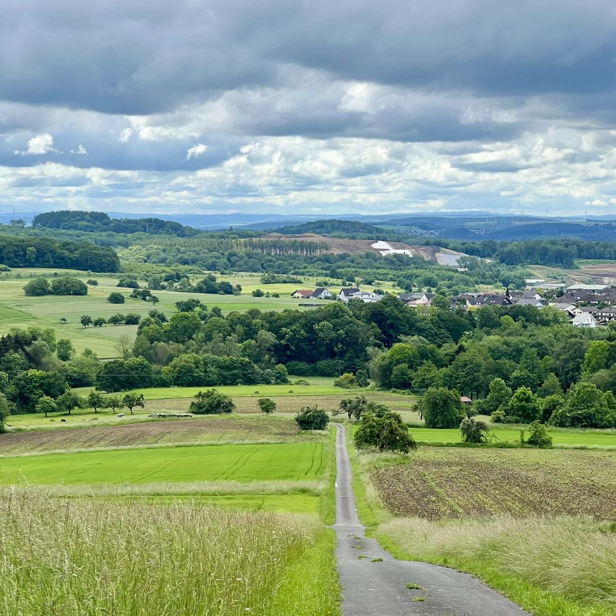
From here you have a beautiful view over the fields towards Köppel. The bench has been renewed and now invites even more for a short break.
0
0

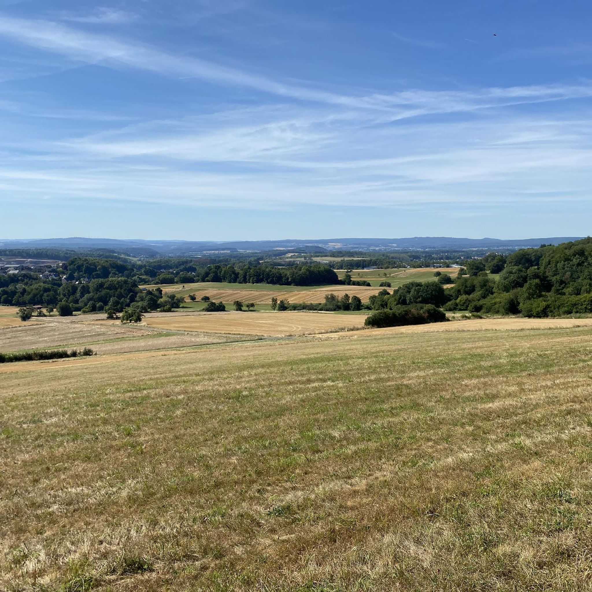
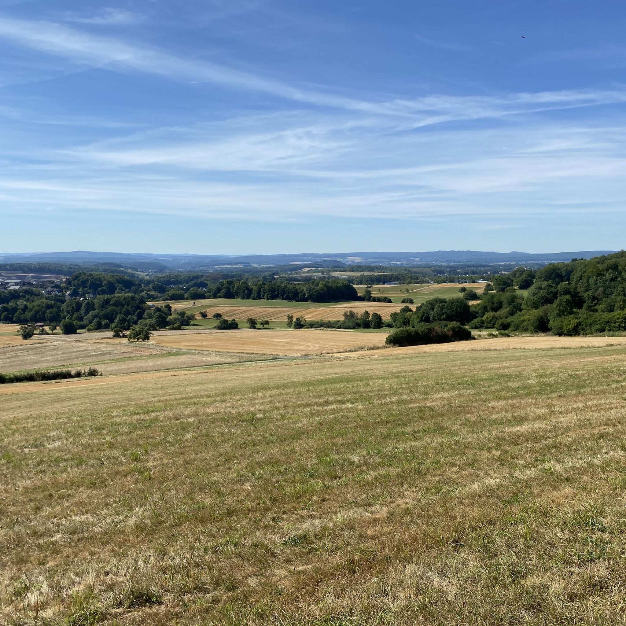
When it's nice and dry, it's perfect for hiking and gravel riding.
0
0

Nice bench for eating, also a bit shady
0
0

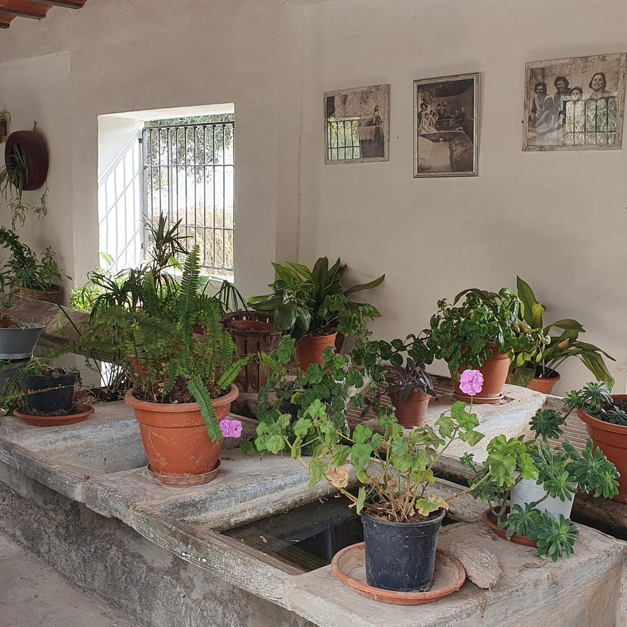
lovingly decorated with all kinds of dwarves etc.
0
0

Here, too, there is less to see in summer, and the telescope at the viewing point has been removed.
0
0
Not really suitable in summer because you can hardly see anything.
0
0
Here you can take a nice break and look at the former mine.
0
0

Frequently Asked Questions
How many hiking trails are available around Oberahr?
Oberahr offers an extensive network of over 1000 hiking trails. These routes cater to various preferences, with more than 700 easy trails, over 300 moderate options, and a selection of more challenging paths for experienced hikers.
What kind of terrain can I expect on hikes around Oberahr?
The terrain around Oberahr is quite diverse, featuring a mix of gentle hills, dramatic rocky outcrops, and extensive vineyard terraces. You'll find wide meadow plateaus, serene forest paths, and trails that often follow the Ahr River and its tributaries, providing varied and picturesque scenery.
Are there any family-friendly hiking options in Oberahr?
Yes, Oberahr and the broader Ahr Valley offer many family-friendly circuits. An easy option is the Petschmorgen Quarry – Beautiful Garden loop from Niederahr, which is 3.2 miles (5.1 km) long and winds through former quarry areas and pleasant garden landscapes, suitable for a leisurely family outing.
Can I bring my dog on the hiking trails around Oberahr?
Many trails in the Oberahr region are dog-friendly, allowing you to enjoy the natural beauty with your canine companion. It's always recommended to keep dogs on a leash, especially in nature reserves or areas with wildlife, and to check local regulations for specific trails. The diverse landscapes, from forests to open meadows, provide plenty of opportunities for walks with your dog.
What are some notable natural attractions or landmarks to see while hiking?
The region around Oberahr is rich in natural monuments and scenic spots. You can explore highlights like the Wooden boardwalks at the Dreifelder Weiher, the tranquil Dreifelder Pond, or the unique geological formation of the Eternal Ice at Dornburg. Many trails also lead to magnificent panoramic viewpoints, offering expansive vistas over the Ahr Valley and Eifel.
Are there any circular hiking routes available?
Yes, circular routes are a prominent feature of the hiking network around Oberahr. For example, the Beulstein Loop Trail – Beulstein Flag Station loop from Sainerholz is a 4.9 miles (7.9 km) trail that takes you through rolling hills and forested sections, offering a complete loop experience.
What is the best time of year to go hiking in Oberahr?
The Ahr Valley, including Oberahr, is beautiful throughout much of the year. Spring brings blooming wildflowers, while summer offers lush greenery. Autumn is particularly stunning as the vineyards turn golden and red, and the weather is often ideal for hiking. Even winter can offer unique, serene experiences, though some trails might be more challenging due to conditions.
What do other hikers say about the trails in Oberahr?
The routes in Oberahr are highly rated by the komoot community, with an average score of 4.5 stars from over 7,000 reviews. Nearly 29,000 hikers have used komoot to explore Oberahr's varied terrain, often praising the diverse landscapes, well-maintained paths, and the scenic beauty of the Ahr Valley.
Are there opportunities to see wildlife while hiking?
Yes, certain trails in the region offer chances to observe local wildlife. For instance, paths leading through areas like the Weisserath game reserve provide opportunities to spot Eifel game. The Langfigtal nature reserve, also accessible to hikers, is known for its diverse butterfly species and various birds.
Can I combine hiking with experiencing the local wine culture?
Absolutely. The Ahr Valley is famous for its wine culture, and hiking trails often wind through the region's 'almost Mediterranean vineyards.' You'll find opportunities to stop at wine taverns and serviced huts along the way, and guided wine hikes are also available to fully immerse yourself in the local viticulture.
Are there any trails that offer great panoramic views?
Many hikes in the Oberahr area lead to magnificent panoramic viewpoints. The Hasenberg (471 m), for example, offers expansive vistas over the Ahr valley and Eifel, extending as far as the Rhine and Siebengebirge. The View of Westerwald – Horses at Meudt Eisen Farm loop from Oberahr also provides scenic outlooks.
What are the parking and public transport options for accessing trails?
While specific details for each trailhead vary, many popular starting points for hikes around Oberahr offer designated parking areas. For public transport, the Ahr Valley has connections, and some trailheads may be accessible via local bus services. It's advisable to check local transport schedules and parking availability for your chosen route.
Most popular attractions around Oberahr

Get inspired with the komoot mobile app


Explore more
Browse the best Hikes in other regions.
