Routes

Planner

Features

Updates

App

Login or Signup

Get the App

Login or Signup

Login or Signup

Routes
MTB trails
United Kingdom
England
North East England

Northumberland

The best MTB trails in Northumberland

4.4

(421)

3,683

riders

293

rides

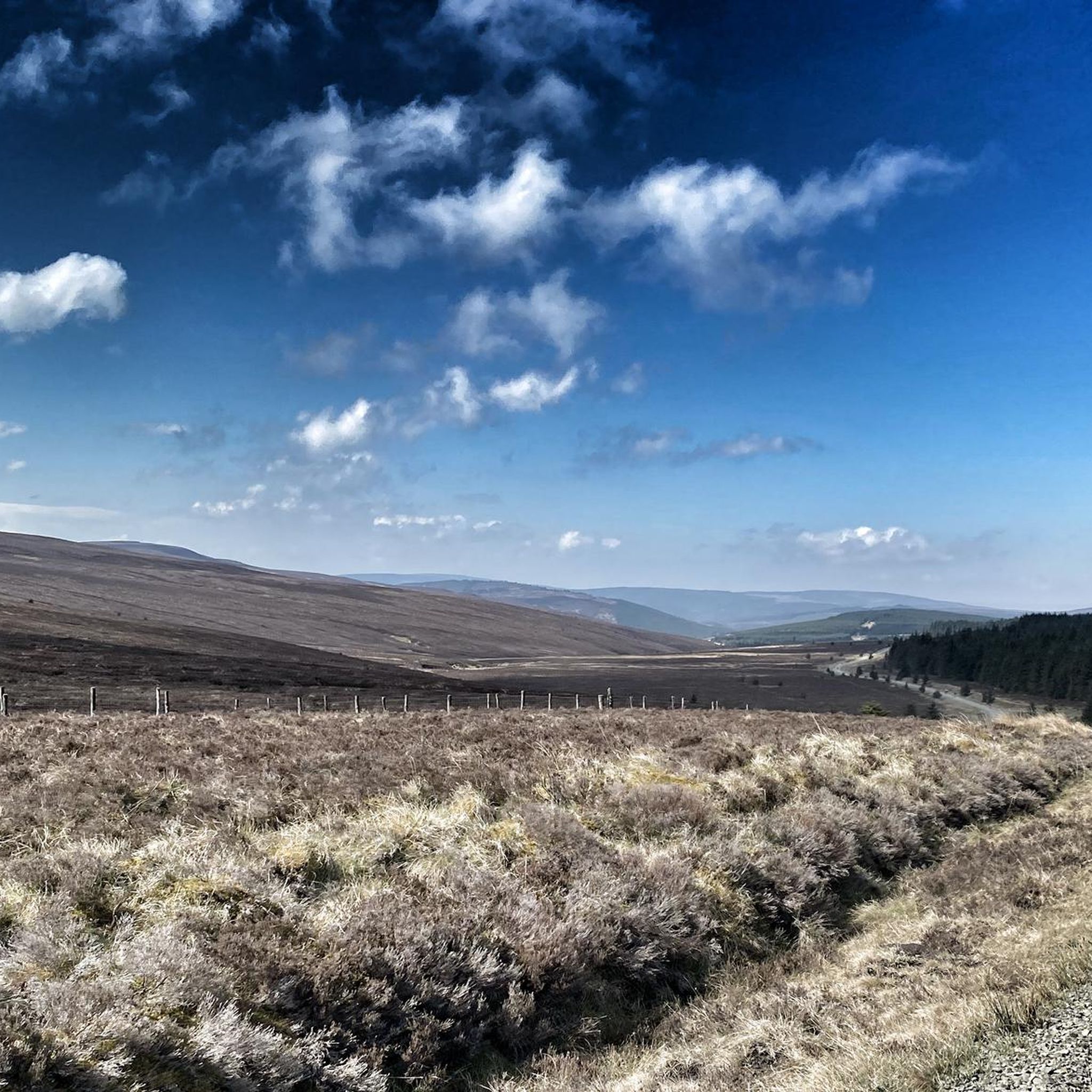
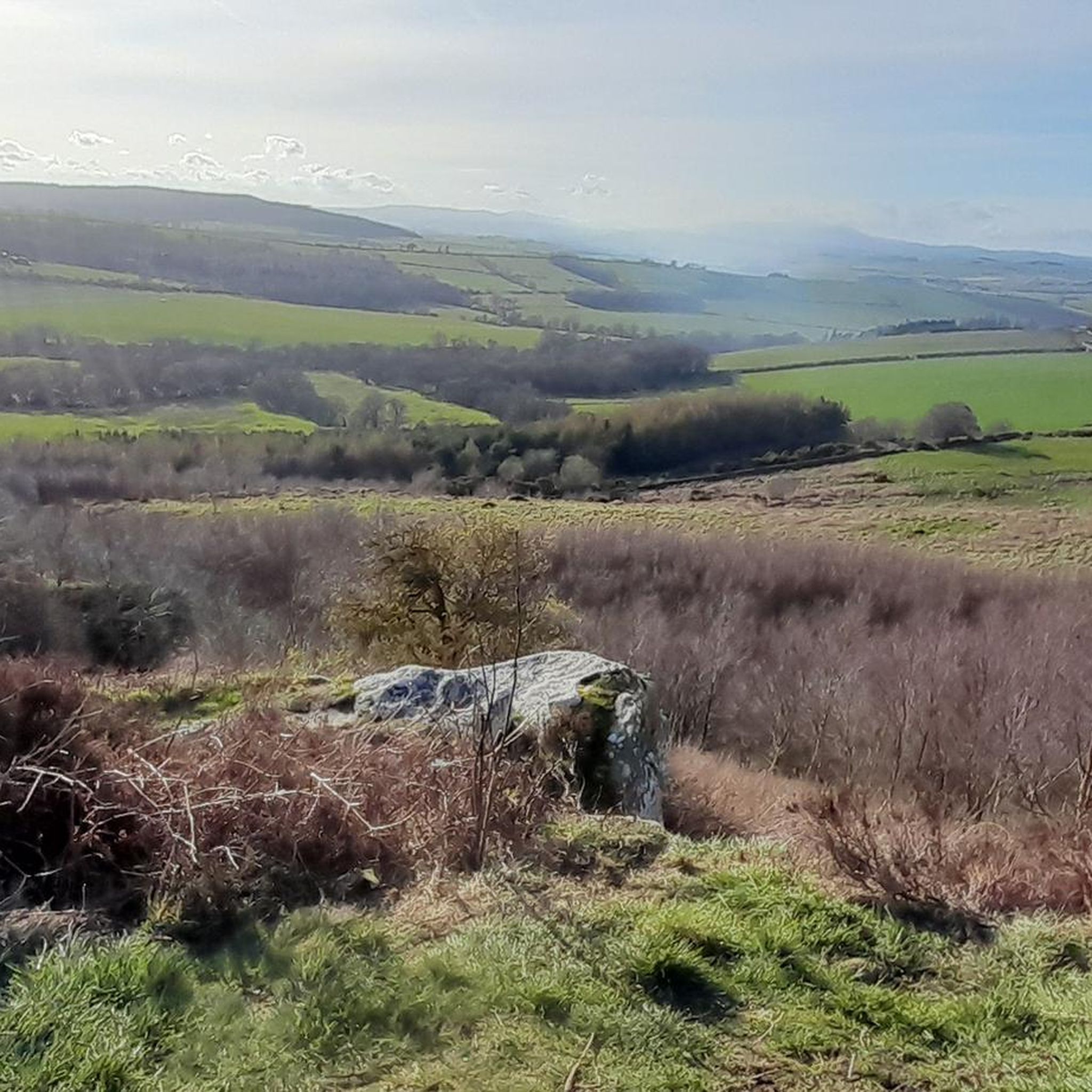
Mountain biking in Northumberland offers diverse terrain, from extensive forest networks to open moorlands and coastal paths. The region is characterized by rolling hills, dense woodlands, and historic landscapes, providing a variety of challenges for riders. Riders can explore well-maintained trails in forest parks or navigate more rugged routes across vast moorland. The varied geography ensures options for different skill levels, from gentle paths to technical descents.

Best mountain bike trails in Northumberland

  • The most popular mountain bike trail is Kielder Water Lakeside Way — Kielder Forest, a 26.1 miles (42.1 km) moderate trail that takes 3 hours 29 minutes to complete. This route follows the perimeter of Kielder Water, offering a mix of forest and lakeside riding.
  • Another top favourite among local mountain bikers is Blanchard Moor & Edmundbyers Common loop — The North Pennines, a moderate 17.8 miles (28.7 km) path. This route traverses open moorland, providing expansive views across the North Pennines.
  • Local mountain bikers also love the Simonside & Whitefield Hill loop from Rothbury, a 19.7 miles (31.8 km) trail leading through the Simonside Hills, often completed in about 2 hours 52 minutes.
  • Mountain biking in Northumberland is defined by extensive forest parks, open moorland, and historic Roman frontier landscapes. The network offers options for various ability levels, from easy family routes to challenging technical trails.
  • The routes in Northumberland are highly rated by the komoot community with an average score of 4.37 stars from over 400 reviews. More than 3,600 mountain bikers have used komoot to explore Northumberland's varied terrain.

Last updated: May 11, 2026

4.9

(43)

460

riders

#1.

Kielder Water Lakeside Way — Kielder Forest

42.1km

03:29

400m

400m

Mountain biking the Kielder Water Lakeside Way takes you on a 26.1-mile (42.1 km) loop around Northern Europe's largest man-made lake, set within England's largest forest. This moderate route, typically completed in 3 hours and 28 minutes with 1313 feet (400 metres) of elevation gain, offers varied terrain from gravel and paved sections to unpaved paths and singletrack. You will ride past extensive woodlands and the vast Kielder Water shoreline, encountering unique outdoor art installations along the way, like the Kielder Viaduct section which follows an old railway trackbed.

While generally accessible for families and intermediate cyclists, be prepared for an undulating course, especially on the north side, where steep and winding gravel tracks can challenge your fitness. The trail is multi-user, welcoming walkers, horse riders, and adaptive bikes, making it inclusive for many visitors. If you prefer assistance on the inclines, electric-assisted bikes are available for hire, ensuring a more manageable experience.

Beyond the ride, the Kielder Water Lakeside Way is notable for its setting within the Northumberland International Dark Sky Park, offering exceptional stargazing opportunities. You will cross the impressive Kielder Dam and discover various art and architecture installations, such as the Belvedere shelter. The route also serves as a gateway to more advanced mountain biking experiences, connecting to trails like Lonesome Pine and the Deadwater trails, which offer red and black graded options.

Navigate with device

Send to Phone

Save

Moderate

4.4

(12)

55

riders

Embark on the Blanchard Moor & Edmundbyers Common loop, a moderate mountain biking adventure spanning 17.8 miles (28.7 km) with a total elevation gain of 1419 feet (432 metres). You will navigate diverse terrain, from open moorland tracks to old lead mining routes, enjoying expansive views across the North Pennines. Look out for the prominent Jeffries and Sikehead chimneys, historical markers that punctuate the wild beauty of Blanchland Moor, making for a rewarding ride that takes about 2 hours and 18 minutes to complete.

This challenging route demands good fitness and advanced riding skills, so be prepared for steep climbs and descents. You might encounter boggy ground, especially on moorland sections, and may even need to push your bike at times. While specific parking details are not provided, the area is generally accessible for outdoor activities, but always check local conditions before you head out.

The trail offers a deep dive into the historical landscape of the North Pennines, a region rich with lead mining heritage. As you ride, you will trace paths used by miners of old, experiencing the rugged environment that shaped their lives. This loop stands out for its blend of natural beauty and industrial history, providing a unique perspective on the area's past.

Moderate
guide_signup
Let us show you the way with the komoot mobile app
With a free komoot account, you can easily find, customize, and navigate endless outdoor adventures.

Sign up for free

4.6

(18)

67

riders

Embark on a mountain biking adventure through the Simonside & Whitefield Hill loop from Rothbury, a moderate route that spans 19.7 miles (31.8 km) with an elevation gain of 1844 feet (562 metres). You will experience a diverse landscape, from fast forestry roads to challenging rocky singletrack climbs and sections of peat bog. As you reach the summit of Simonside, you are rewarded with a sweeping 360-degree panorama, offering views of the Cheviot Hills, the Coquet valley, and even the distant North Sea. This ride, estimated to take around 2 hours and 52 minutes, promises a varied and engaging experience for those with good fitness.

Planning your visit requires you to be prepared for a demanding ride, as some sections may even require you to push your bike. The flagged path along the top of Simonside, while scenic, is a challenging haul up and can become difficult if icy. Be aware that the main footpath along the Simonside ridge is popular with walkers; cycling on it, especially on weekends, is generally discouraged by National Park rangers. Ensure you have advanced riding skills to tackle the varied terrain effectively.

This route takes you through the beautiful Northumberland National Park, known for its distinctive sandstone formations that add character to the landscape. Keep an eye out for local wildlife, such as red grouse and wild goats, as you navigate the trails. The heather moors are particularly vibrant and beautiful when they are in full bloom during late summer and early autumn, offering a spectacular backdrop to your ride.

Moderate

5.0

(4)

80

riders

The Kielder Deadwater MTB Trail in Kielder Forest offers a challenging mountain biking experience, featuring varied terrain and purpose-built singletrack. This moderate route covers 7.1 miles (11.4 km) with a significant elevation gain of 1363 feet (416 metres), typically taking around 1 hour and 28 minutes to complete. You will encounter swooping singletrack, rocky sections, and fire roads, all designed for proficient to expert riders. The trail culminates at the summit of Deadwater Fell, providing expansive 360-degree views across the landscape, a well-earned reward after the climb.

This trail system caters to experienced mountain bikers, with both red and black-graded options available. The red-graded Deadwater Fell trail requires good off-roading skills and moderate fitness, while the black-graded "Up and Over" trail is more physically demanding, featuring larger drops and technical elements. Consider a full suspension bike and a full-face helmet for the black sections. The newer "Deadwater Mile Down" trail combines red and upgraded black sections, offering berms, jumps, and rock gardens for an exciting, progressive ride.

What makes this trail particularly notable is its setting within Kielder Forest, England's largest forest, and the exceptional views from Deadwater Fell, which sits on the English-Scottish border. From the summit, you can see south Scotland, the Lake District, Northumberland, and even the North Sea on a clear day. The specially constructed singletrack descent back to Kielder Castle is packed with features, ensuring a thrilling ride. Local riders and volunteer groups have played a key role in developing and maintaining these trails, making them a highlight for mountain bikers.

Moderate

4.5

(4)

44

riders

Embark on the Ingram & Rothbury loop, a difficult mountain biking adventure spanning 50.8 miles (81.7 km) with a substantial 3923 feet (1196 metres) of elevation gain. This challenging route, typically taking around 6 hours and 15 minutes, winds through Northumberland's Coquet Valley, offering diverse terrain from unpaved paths and singletracks to gravel sections and quiet country lanes. You'll navigate expansive woodlands, wild moorland, and river valleys, with steep gravel climbs near Rothbury and sections of loose rock. The Simonside Hills are a prominent feature, providing panoramic views and unique sandstone formations, often displaying a purple carpet of heather in late summer.

This demanding loop requires very good fitness and advanced riding skills; be prepared for continuous ascents and descents that can be more tiring than anticipated, with some sections possibly requiring you to push your bike. While the core Sandstone Way is generally well-waymarked, some variations on this route might demand additional navigational skills. The trail can also become boggy after wet weather, so check conditions before you go. Charming villages like Rothbury offer amenities for riders, making them good points for resupply or a break.

The Ingram & Rothbury loop is a popular choice among local mountain bikers and forms a significant part of the wider Sandstone Way, a 120-mile (193 km) route designed to connect numerous sandstone features across Northumberland. As you ride, keep an eye out for wildlife such as wild goats and red grouse. The area is also rich in history, with notable points of interest including the Lordenshaw Hillfort and ancient "cup and ring" stones near Simonside, adding a cultural layer to your ride through this picturesque landscape.

Hard

4.0

(4)

36

riders

Embark on the Bellingham & Hexham loop on the Sandstone Way, a challenging mountain biking adventure through Northumberland's varied landscape. You will navigate double-width dirt tracks, sections of singletrack, unsurfaced lanes, and bridleways, alongside byways and quiet minor roads. This difficult 39.4 miles (63.4 km) route features 2957 feet (901 metres) of elevation gain, typically taking around 4 hours and 40 minutes to complete. Expect to cycle through rolling countryside, past picturesque villages, and skirt the edge of the Northumberland National Park.

This hard mountain bike ride demands very good fitness and advanced riding skills, with some sections potentially requiring you to push your bike due to technical difficulty. A good quality mountain bike is essential, as hybrid or cyclo-cross bikes may struggle on the rougher, rocky parts. Be prepared for potentially boggy sections after wet weather and areas with nettles and brambles. The research does not specify trailhead access, parking, or public transport details, so plan your logistics carefully before you go.

This loop is part of the broader 120-mile (193 km) Sandstone Way, designed for mountain bikers to explore Northumberland's sandstone features. As you ride, you can stop at

Hard

Get ready for a challenging mountain biking adventure on the Usway Burn Trail & Windy Gyle loop from Harbottle. This difficult route spans 27.9 miles (44.8 km) with a significant 3197 feet (974 metres) of elevation gain, typically taking around 4 hours and 21 minutes to complete. You will traverse the rugged Cheviot Hills, encountering smooth singletrack along the Usway Burn, past charming stone sheepfolds and waterfalls. Prepare for long moorland climbs on the way to Windy Gyle, where the terrain can be peaty and soft, before enjoying a fast, smooth grassy descent.

This extensive loop requires very good fitness and advanced riding skills, as some sections may even require you to push your bike. The trail is consistently rated as a hard mountain bike ride, reflecting its demanding nature and the varied surfaces you will encounter. While the route is remote, the Star Inn in Harbottle serves as a convenient starting point and an official Information Point for Northumberland National Park, offering amenities for cyclists.

This trail is the most popular mountain bike route around Harbottle, offering consistently stunning views across the Cheviots. From the summit of Windy Gyle, standing at 2,031 feet (619 meters), you can see expansive vistas stretching all the way to Cumbria on clear days. The summit also features Russell's Cairn, a Bronze Age burial marker, and marks the border between England and Scotland, adding a historical touch to your ride through this isolated frontier landscape.

Hard

Embark on the Wark Forest loop from Stonehaugh, a moderate mountain biking adventure through Northumberland National Park. This 17.9-mile (28.9 km) route features 1158 feet (353 metres) of elevation gain and typically takes about 2 hours and 33 minutes to complete. You will navigate predominantly forest gravel roads, with some tarmac sections, experiencing an undulating ride through dense woodlands and open countryside. Keep an eye out for views towards Hopealone from higher points, and on clear days, you might even glimpse the Solway Firth or the Lake District. Be prepared for varied conditions, including potential waterlogging or slippery rock sections.

Stonehaugh serves as an excellent starting point for your ride, offering convenient free parking. You will also find an environmentally friendly composting toilet, a picnic area, and even a Stargazing Pavilion there, making it a great base for a day out. While the trail is generally well-maintained, some sections might require advanced riding skills or even dismounting and walking, especially on tougher climbs or challenging terrain. Always be aware of your surroundings and any recent weather impacts.

This loop offers a truly remote and tranquil experience, allowing you to escape into nature within the vast Kielder Forest system. Wark Forest forms the southern part of Kielder Forest, nestled within the southwest tip of Northumberland National Park, providing access to a wider network of trails. The route is notable for its varied forest riding, offering both steady climbs and enjoyable descents, and connects to parts of the National Cycle Route 68.

Moderate

4.0

(6)

12

riders

Embark on the Great North Trail: Haltwhistle Loop, a moderate mountain biking adventure spanning 19.0 miles (30.5 km) with an elevation gain of 1232 feet (376 metres). This route, estimated to take 2 hours and 13 minutes, guides you through a diverse landscape of rolling hills, expansive meadows, and ancient woodlands. You will experience a mix of quiet lanes, former railway lines, and off-road sections, including views of Hadrian's Wall and a serene lake at Cawfields Quarry, offering a varied and engaging ride.

Haltwhistle serves as an excellent starting point for your journey, providing general parking and acting as a hub for numerous other cycle routes in the area. While there are no specific warnings regarding permits or seasonal closures for this particular trail, planning your visit around good weather will enhance your mountain biking experience. Access to the trailhead is straightforward, making it easy to begin your exploration of the surrounding countryside.

This loop offers a fantastic way to experience a dedicated mountain biking section of the broader Great North Trail. The route incorporates parts of the NCN 68 Tarmac to Gravel Transition in Scotchcoulthard Forest, showcasing a unique blend of surfaces. It's an ideal choice if you are looking for a well-rounded ride that combines scenic beauty with interesting terrain, providing a taste of the larger trail network.

Moderate

This difficult mountain biking route takes you to The Cheviot Summit, the highest point in Northumberland National Park. You will cover 27.1 miles (43.7 km) with a substantial 3475 feet (1059 metres) of elevation gain, typically taking around 4 hours and 10 minutes. The trail demands very good fitness and advanced riding skills, with some sections so steep you may need to push your bike. Expect a varied mix of singletrack, natural paths, and unpaved tracks, along with some road and asphalt segments. You will experience diverse scenery, from the open moorland and forest trails to the picturesque Harthope Burn and Usway Burn valleys.

When planning your visit, be aware that the remote setting means there are few easy escape routes. The Cheviot's summit plateau, while now featuring a millstone slabbed pathway, is still prone to wet conditions underfoot, so appropriate footwear is essential. The weather in this region can be unpredictable, often experiencing "four seasons in a day," requiring thorough preparation for changing conditions. Always check the forecast before you head out.

What makes this route particularly notable is reaching The Cheviot Summit, a significant landmark just two kilometers from the Scottish border. From its 2,674-foot (815m) high peak, clear days offer extensive panoramic views that can stretch as far as the Lake District and even Edinburgh. The trail also passes through the Breamish Valley, dotted with prehistoric hill forts, adding a historical dimension to the wild upland character of the area. This classic ride offers a true wilderness mountain biking experience.

Hard
Sign up for free to see 284 more rides in Northumberland.

Get access to more routes and recommendations from other explorers.

Sign up for free

Already have an account?

Our route recommendations are based on thousands of hikes, rides, and runs completed by other people on komoot.

Start today with a free account

Your next adventure awaits.

Login or Signup

Popular around Northumberland

MTB Trails in Kielderhead National Nature Reserve
MTB Trails around Thrunton Wood
MTB Trails around Fontburn Reservoir
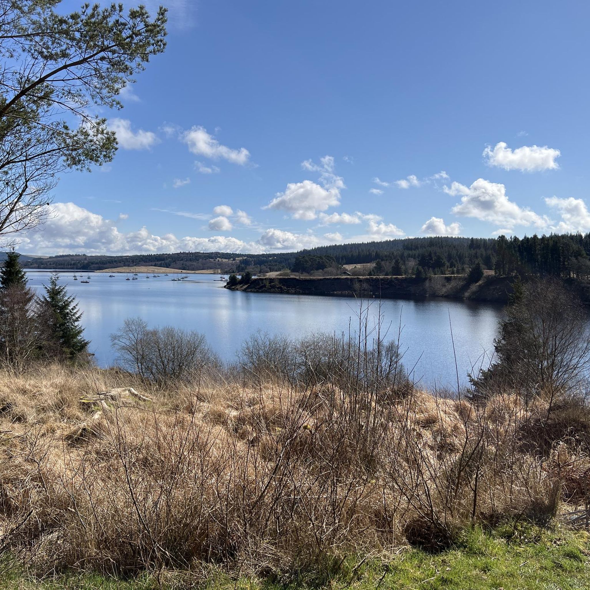
MTB Trails around Kielder Water
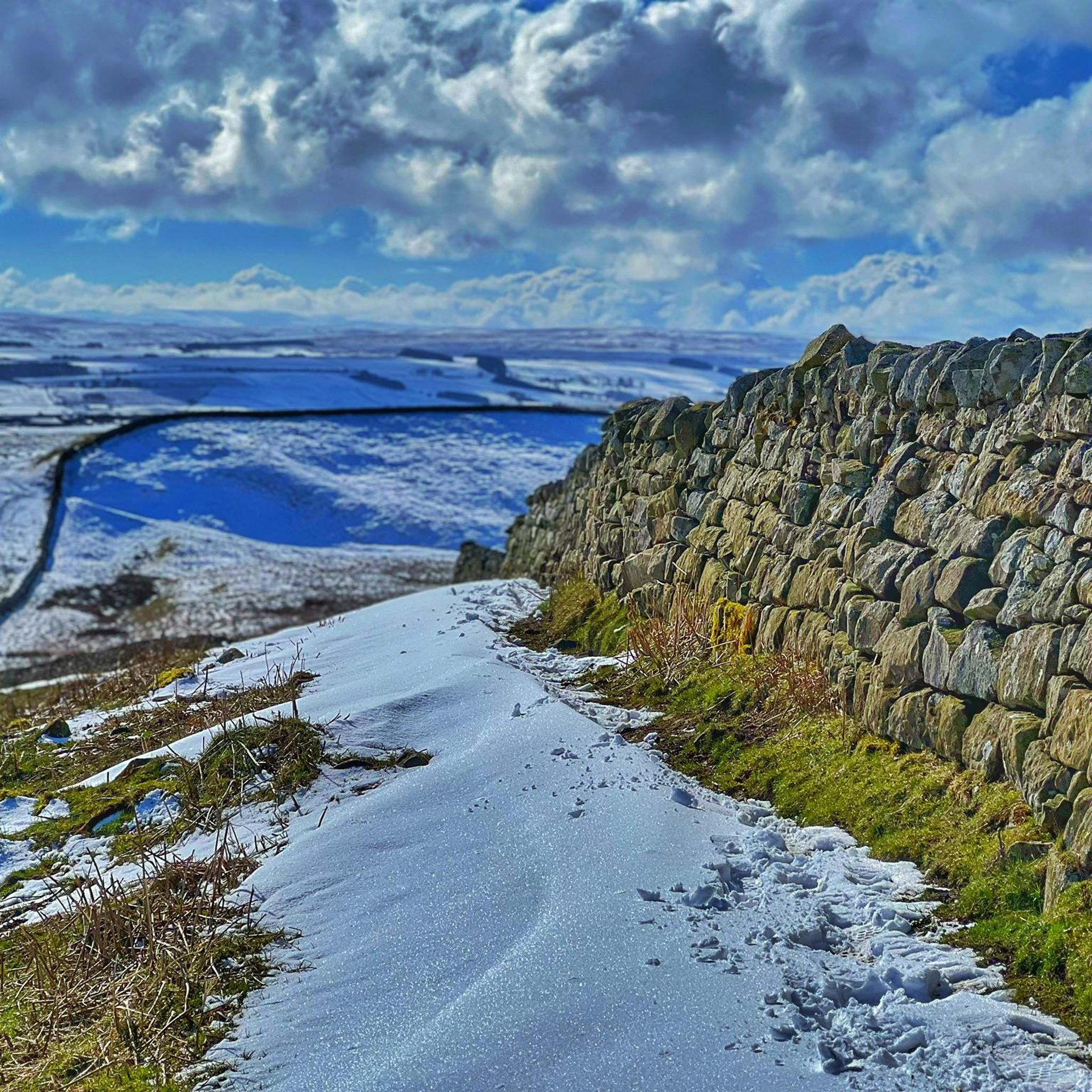
MTB Trails around Broomlee Lough
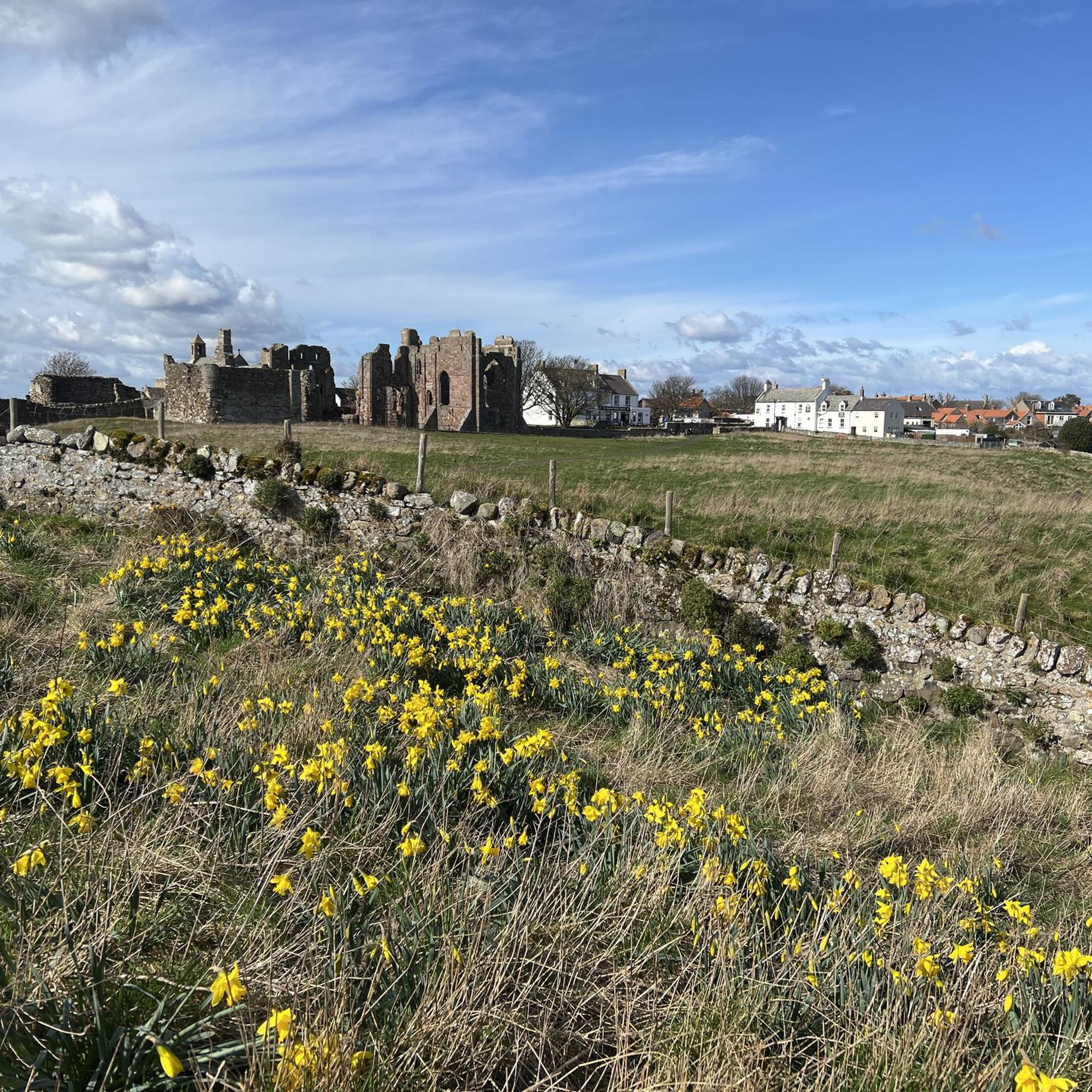
MTB Trails in Lindisfarne National Nature Reserve
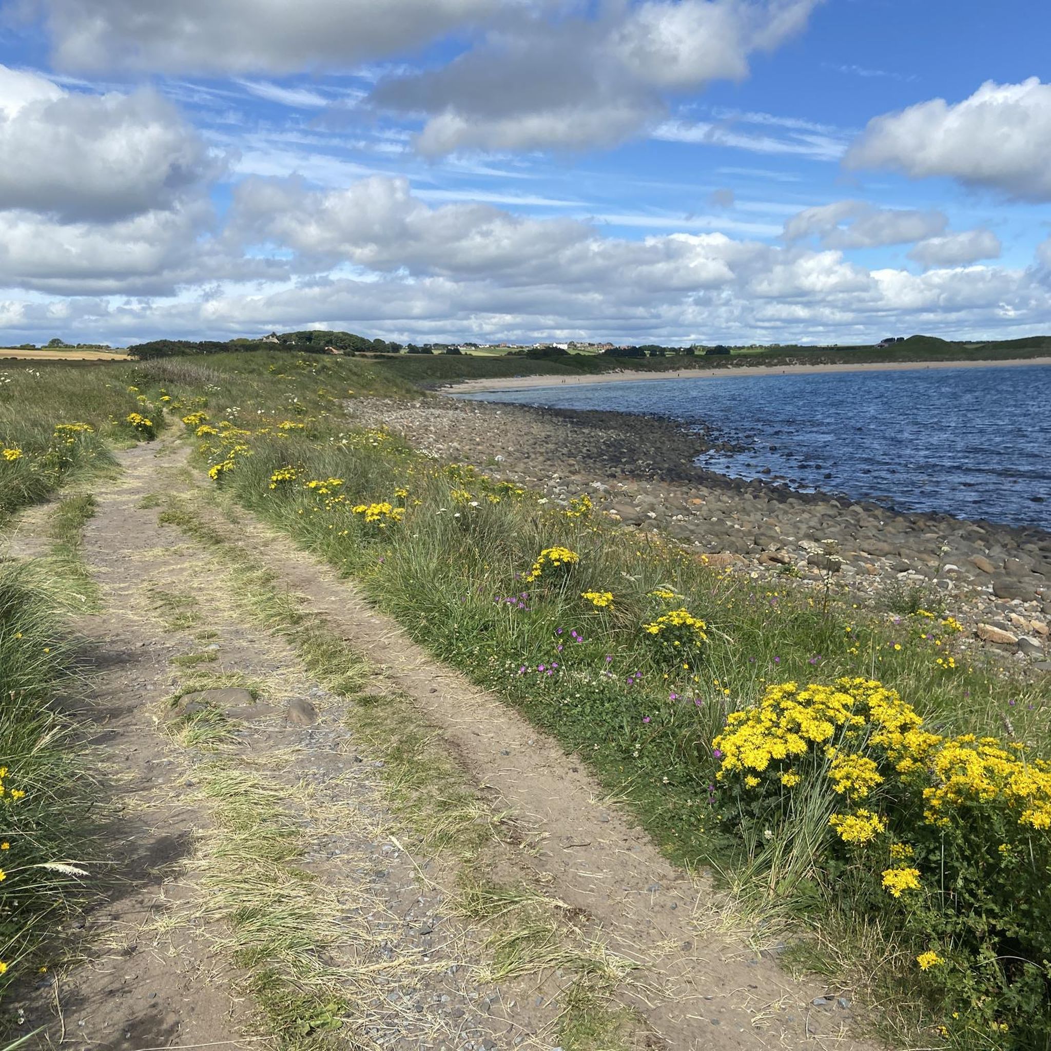
MTB Trails around Northumberland Coast Aonb
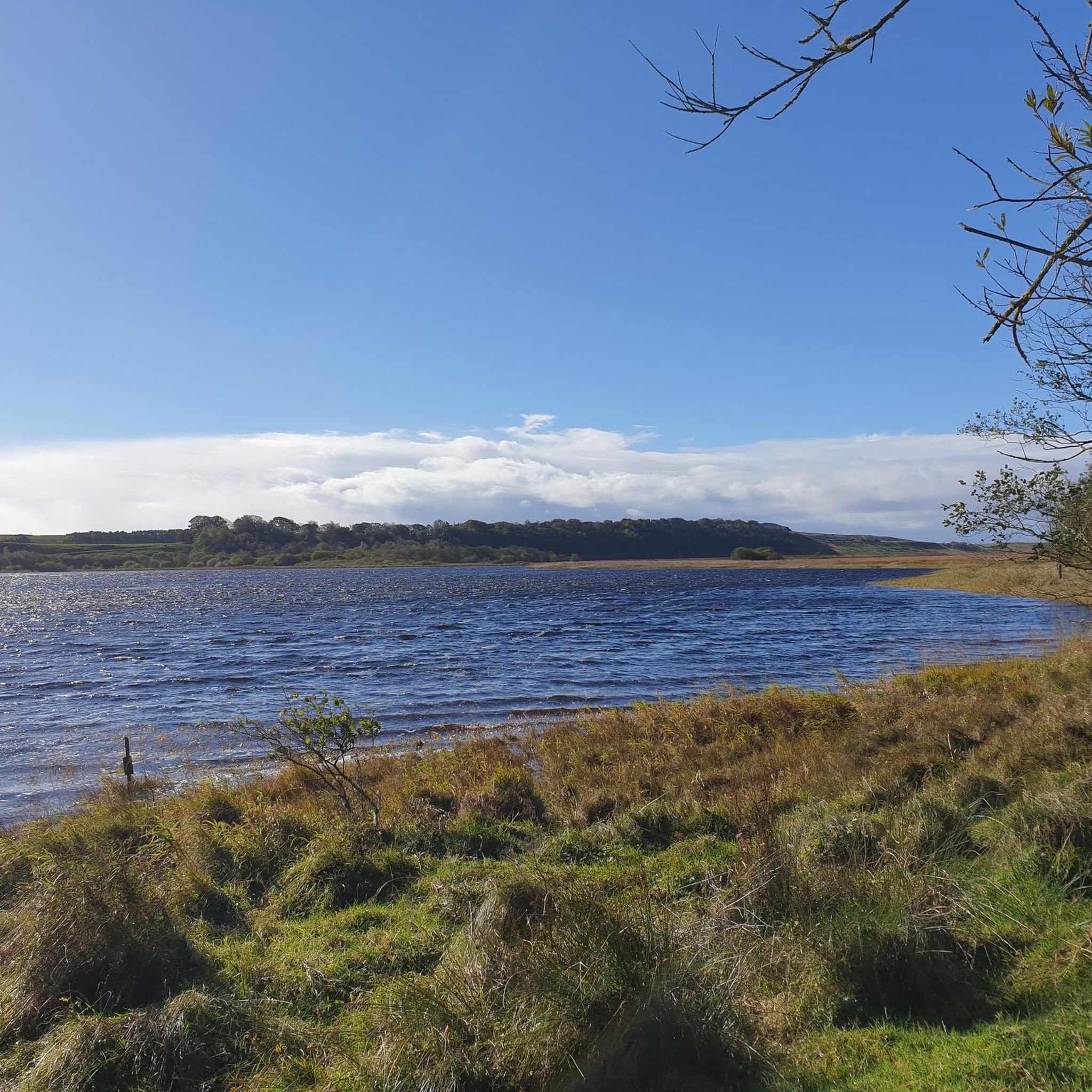
MTB Trails around Greenlee Lough
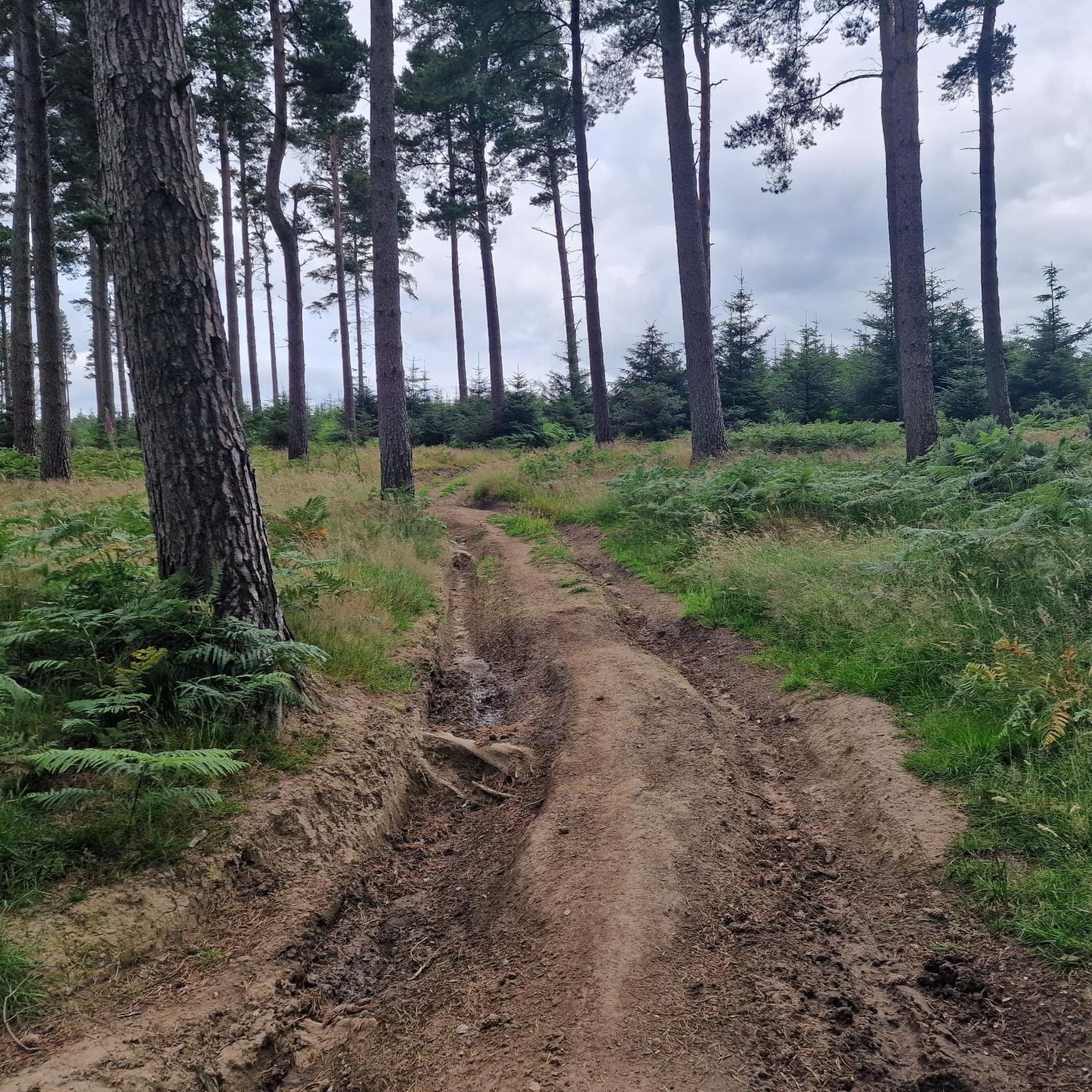
MTB Trails in Muckle Moss National Nature Reserve

MTB Trails around Slaley Forest

Other adventures in Northumberland

Second City Divide — Rough Stuff Of The North

Mountain Biking Collection by

Katherine Moore

Tips from the Community

Keith 🥾⛺️🗺🧭
March 19, 2026, Carrier's Way Trail

Fantastic if you love being out in the open fells, great views in every direction and you are most certainly going to have it all to yourself.

0

0

Crossing Blanchland Moor is a great experience if you enjoy wide open landscapes. The scenery is rugged and peaceful with big skies and miles of moorland. A brilliant place to hike and enjoy the quiet of the Northumberland countryside.

0

0

Rugged fells from easy access road/car parks.

0

0

Good trails to ride on, great views on a sunny day. Can either include as part of a Rothbury/Simonside ride, or head over to Harwood Forest

0

0

Cracking pub, friendly welcome, good beer and food. Recommend the panuozzo sandwiches

0

0

Shirley
October 8, 2025, Wyate Bridge

Several trees across path , very difficult lifting over or going underneath.

0

0

Cawfields Quarry is a former quarry located directly on Hadrian's Wall near Haltwhistle. Constructed in the early 20th century, the quarry cut through the Roman wall, exposing the underlying dolerite rock of the Whin Sill. This geological formation formed a natural defensive line upon which the Romans built their wall. Following the quarry's closure, the site has been redeveloped into a peaceful recreation area with a picturesque lake, picnic areas, and walking trails. The area offers direct access to Milecastle 42.

Translated by Google

9

1

The Tower Knowe Visitor Centre, run by Kielder Water & Forest Park, is an information center and café on the banks of Kielder Water. The café is a great place to refuel if you're walking the 42-kilometer Lakeside Way, or a good starting and finishing point for a shorter run. The café is open from 11:00 AM to 5:00 PM, with food served from 11:00 AM to 4:00 PM.

Translated by Google

8

0

Frequently Asked Questions

How many mountain bike trails are available in Northumberland?

Northumberland offers a wide variety of mountain biking experiences with over 300 trails. These routes cater to different skill levels, from easy paths to challenging technical descents.

What types of terrain will I encounter on mountain bike trails in Northumberland?

You'll find diverse terrain across Northumberland, including extensive forest networks like Kielder Water & Forest Park, open moorlands with expansive views, and historic landscapes along Hadrian's Wall. The region features rolling hills, dense woodlands, and rugged sections, ensuring a varied ride.

Are there mountain bike trails suitable for beginners or families in Northumberland?

Yes, Northumberland has trails suitable for beginners and families. Kielder Water & Forest Park, for example, offers easier green-rated trails like the Borderline Trail and the blue-rated Osprey Trail. Overall, 75 of the routes in the region are rated as easy, providing gentle paths for less experienced riders.

Where can I find challenging mountain bike trails in Northumberland?

For experienced riders seeking a challenge, Northumberland offers several options. Kielder Water & Forest Park features rigorous red trails such as Lonesome Pine, Bloody Bush, and Deadwater trails, including a challenging black trail with thrilling downhill sections. The Simonside Hills also present rugged terrain and exciting challenges. Difficult routes like the Ingram & Rothbury loop on the Sandstone Way or The Cheviot Summit & Ingram from Langleeford are also available.

What are some scenic viewpoints or natural features to look out for on mountain bike trails?

Northumberland is rich in scenic beauty. You can enjoy staggering viewpoints over moorland and forests, especially in Northumberland National Park and the Simonside Hills, which offer sweeping views towards the North Sea coast. Kielder Water itself provides beautiful lakeside vistas. For specific points of interest, consider visiting Deadwater Fell summit for panoramic views.

Are there any waterfalls accessible from mountain bike trails in Northumberland?

Yes, Northumberland features several beautiful waterfalls. While mountain biking, you might find trails that pass near or lead to waterfalls such as Hareshaw Linn Waterfall, Linhope Spout Waterfall, or Hindhope Linn Waterfall. These can make for a refreshing stop during your ride.

Can I bring my dog on mountain bike trails in Northumberland?

Many trails in Northumberland are dog-friendly, especially those in open access areas and forests. However, it's always best to keep dogs under close control, particularly in areas with livestock or ground-nesting birds, and to check specific trail regulations before you go. Kielder Water & Forest Park generally welcomes dogs.

What is the best time of year for mountain biking in Northumberland?

The best seasons for mountain biking in Northumberland are generally spring and autumn, offering milder temperatures and beautiful scenery. While winter can be accessible for fat biking at lower altitudes, some trails may be muddy. Summer provides longer daylight hours but can be busier.

Are there any bike parks or dedicated mountain biking facilities in Northumberland?

Yes, for those seeking purpose-built challenges, Alnwick Moor Bike Park offers jumps and obstacles. Kielder Water & Forest Park also has dedicated trails for various skill levels. You can also explore highlights like Holywell Dirt Jump Track or Ingram Hills for specific bike park experiences.

Are there any long-distance mountain biking routes in Northumberland?

Yes, Northumberland is home to the fantastic 120-mile Sandstone Way, which stretches between Berwick-upon-Tweed and Hexham. This route traverses the Sandstone Ridge, connecting the Northumberland Coast Area of Outstanding Natural Beauty with Northumberland National Park, offering one of England's most scenic long-distance rides. You can experience sections of it on routes like the Bellingham & Hexham loop on the Sandstone Way.

What do other mountain bikers say about the trails in Northumberland?

The mountain bike trails in Northumberland are highly rated by the komoot community, with an average score of 4.37 stars from over 400 reviews. Riders often praise the diverse terrain, from extensive forest networks to open moorlands, and the variety of options for different skill levels.

Are there circular mountain bike routes available?

Many mountain bike routes in Northumberland are designed as loops, offering a convenient way to start and finish in the same location. Examples include the popular Kielder Water Lakeside Way, the Blanchard Moor & Edmundbyers Common loop, and the Simonside & Whitefield Hill loop from Rothbury.

Where can I find information about parking or public transport access for mountain biking trails?

Parking is generally available at popular trailheads and visitor centers, especially in areas like Kielder Water & Forest Park. For specific public transport options to trail access points, it's advisable to consult local transport providers or visit the official Northumberland National Park website for detailed guidance: northumberlandnationalpark.org.uk.

Most popular routes in Northumberland

Hiking in Northumberland

Most popular attractions in Northumberland

Places to see

Store rating

Get inspired with the komoot mobile app

With a free komoot account, you can easily find, customize, and navigate endless outdoor adventures.

or

Join komoot Now

Store rating

Didn’t find what you were looking for?

Check out more MTB trails throughout Northumberland below and find the perfect route in your destination.

Colt Crag ReservoirLemmington WoodSlaley ForestMuckle Moss National Nature ReserveKielderhead National Nature ReserveFontburn ReservoirKielder WaterNewham Bog National Nature ReserveKyloe WoodBroomlee LoughThrunton WoodLindisfarne National Nature ReserveNorthumberland Coast AonbGreenlee Lough

Explore more

Browse the best MTB trails in other regions.

County DurhamKielderWoodlandLynesack And SoftleySouth BedburnCockfieldEtherleyStanhopeCallalyWolsinghamTow LawEdlinghamHeppleMiddleton In TeesdaleBrinkburnRothburyLangleydale And ShottonLands Common To Hamsterley, Lynesack And Softley And South BedburnWitton-Le-WearTarsetEvenwood And BaronySnitterRedcar and ClevelandHollinghillNunnykirkBardon MillHamsterleyLongframlingtonHaydonThroptonWhitton And TossonHesleyhurstHunstanworthLonghorsleyRaby With KeverstoneIldertonHexhamshireEgglestonBlanchlandLilburnGreysteadKnaresdale With KirkhaughFalstoneAlnhamMelkridgeHedgeleyGlantonRochesterEarleChollertonBirtleyHenshawBellinghamNewbroughShotley Low QuarterWallChattonWhittinghamNorth TynesideGatesheadNewcastle Upon TyneBewickIngramRoddamHealeySunderlandMuggleswickHopeAllendaleElsdonHunderthwaiteRomaldkirkGreencroftKirknewtonSacristonKimblesworth And PlawsworthEdmondbyersHolwickHealeyfieldMarwoodStreatlam And StaintonStaindropBiddlestoneNewton-On-The-Moor And SwarlandCorbridgeAcombBrandon And ByshottlesWhittingtonCroxdale And HettSimonburnSpennymoorWest RaintonCorsensidePlenmeller With WhitfieldWarkThirlwallHexhamSandhoePittingtonSouth TynesideBowesEwartWoolerAkeldHumshaughGreenheadFeatherstoneHaltwhistleSouth HettonNethertonBearparkWest BedlingtonBournmoorWardenBerwick-Upon-TweedWindlestoneSeaton ValleyFerryhillStanleyWest AllenNorth LodgeAncroftWitton GilbertLanchesterLartingtonLittle LumleyChillinghamSherburn VillageSatleyOustonAshingtonChoppingtonGilmonbyHedleyhopeShincliffeEasington VillageHartlepoolGreat LumleyLowickHedleyShildonEldonDene ValleyBurnhopeCramlingtonDoddingtonMurtonCarhamHawthornEast BedlingtonThirstonFeltonEast ChevingtonTogstonAcklingtonBradbury And The IsleNewbiggin By The SeaHarbottleWaldridgePeltonBrancepethHordenMickletonStamfordhamBelmontCity Of DurhamMitfordHepscottPontelandFramwellgate MoorLesburyOtterburnEasington CollieryAlnmouthStockton-on-TeesHauxleyAmble By The SeaKyloeCoanwoodDenwickMatfenBishop AucklandTritlington And West ChevingtonAlnwickBlythHaswellDuddoWarkworthLands Common To Brancepeth And Brandon And ByshottlesMordonEdmondsleySeaton With SlingleyDalton-Le-DaleGreat AycliffePrudhoeHorsleyOvinghamSeahamWolsingham Park Moor Lands Cmn To Stanhope, Tow Law And WolsinghamHutton HenryCastle EdenChiltonMonk HesledenNesbittSheraton With HulamHeddon-On-The-WallHartleyburnShilbottleWiddrington VillageLonghoughtonEglinghamEshForest And FrithStanningtonEllinghamWheatley HillBroomley and StocksfieldNetherwittonShoreswoodShottonEllington And LintonPeterleeWingateSedgefieldGreater WillingtonBroomhaugh And RidingRenningtonWylamFordMilfieldBeadnellShadforthRothleyBarninghamScargillOrdNorhamHorncliffeMiddridgeSlaley

Other places to explore

Nearby adventure guides

Things to Do around Elsdon

background

Get ready to conquer new peaks

Sign up for Free

Explore
RoutesRoute plannerFeaturesHikesMTB TrailsRoad cycling routesBikepackingSitemap
Download the app
Follow Us on Socials

© komoot GmbH

Privacy Policy