The best road cycling routes in Northern Ireland
4.5
(787)
29,203
riders
3,291
rides
Road cycling in Northern Ireland features diverse landscapes, from rugged coastlines and serene countryside to dramatic mountain ranges and tranquil loughs. The region offers a variety of terrain, including coastal roads, rolling hills, and challenging mountain ascents. Cyclists can explore areas characterized by basalt columns, ancient glens, and expansive waterways. This varied geography provides numerous routes for different skill levels.
Best road cycling routes in Northern Ireland
- The most popular road cycling route is Strangford Lough loop from Belfast – Strangford & Lecale, a 35.1 miles (56.4 km) trail that takes 2 hours 25 minutes to complete. This route offers views of the lough and passes through the Strangford & Lecale area.
- Another top favourite among local road cyclists is Spelga Reservoir loop from Newcastle – Mourne, a moderate 29.8 miles (48.0 km) path. This route features significant elevation gain through the Mourne Mountains, offering views of the reservoir and surrounding peaks.
- Local road cyclists also love the Lough Neagh loop, an 80.0 miles (128.8 km) trail leading through the countryside surrounding Ireland's largest lake, often completed in about 5 hours 27 minutes.
- Road cycling in Northern Ireland is defined by rugged coastlines, dramatic mountain ranges, and tranquil loughs. The network offers options for various ability levels, from leisurely rides to challenging climbs.
- The routes in Northern Ireland are highly rated by the komoot community with an average score of 4.5 stars from over 700 reviews. More than 33,000 road cyclists have used komoot to explore Northern Ireland's varied terrain.
Last updated: August 30, 2026
3.8
(6)
96
riders
56.4km
02:25
370m
370m
Embark on the Strangford Lough loop, a moderate racebike route that circles Northern Ireland's largest sea inlet. This 35.1-mile (56.4 km) journey features 1218 feet (371 metres) of elevation gain, taking about 2 hours and 25 minutes to complete. You will cycle predominantly on paved, quiet country roads, experiencing a mix of gradual inclines and sharp climbs. Enjoy views of Strangford Lough, the Irish Sea coast, and the distant Mourne Mountains as you pass through charming harbour towns and rolling farmland.
Starting points like Comber are easily accessible from Belfast, with options for public transport that can carry bikes. The route includes dedicated traffic-free sections in areas like Newtownards, Downpatrick, and Comber, enhancing your safety and enjoyment. While mostly smooth, be aware that some segments might include light gravel surfaces, though these are exceptions on the main loop. A ferry crossing between Strangford and Portaferry adds a unique element to the journey.
This loop is notable for its rich tapestry of coastal, rural, and historic landscapes, coupled with abundant wildlife like seals and migratory birds. The trail passes numerous historical sites and attractions, offering opportunities to explore the heritage of County Down. Its varied terrain, including rolling hills and coastal roads, makes it an excellent training ground for cyclists, including those preparing for triathlons.
4.5
(6)
91
riders
48.0km
02:28
710m
710m
Embark on a challenging road cycling adventure through the heart of the Mourne Mountains with the Spelga Reservoir loop. This moderate route covers 29.8 miles (48.0 km) and features a significant 2318 feet (707 metres) of elevation gain, typically taking about 2 hours and 27 minutes to complete. You will navigate narrow, quiet mountain roads, experiencing steep gradients and challenging hill climbs, including switchbacks that test your fitness. As you cycle, you'll be treated to expansive moorland landscapes and panoramic views across County Down, with the serene Spelga Reservoir and its picturesque dam serving as a central visual landmark. The terrain is mostly well-paved, though some segments in the area can be bumpy, adding to the adventure. You will find yourself immersed in the stunning natural beauty of this designated Area of Outstanding Natural Beauty.
Newcastle often serves as a convenient starting point for loops in this area, offering various amenities before and after your ride. If you prefer to begin closer to the main feature, a car park is available at the Spelga Dam and Reservoir, providing a peaceful lookout point. Given the challenging climbs and potential for unpaved sections, ensure you have a good level of physical preparation before setting out. Always check local conditions, especially regarding weather, as mountain environments can change quickly. This route is best enjoyed during daylight hours to fully appreciate the expansive views and navigate the demanding terrain safely.
This cycling experience is notable for immersing you directly into the stunning natural beauty of the Mourne Mountains. The man-made Spelga Dam, built in the 1950s, creates the beautiful reservoir that is a central feature of the ride. Cyclists looking to test their legs will appreciate the challenging climbs and switchbacks, such as the Spelga Reservoir Hill Climb. The quiet mountain roads offer a peaceful cycling experience away from heavy traffic. You might also consider exploring the nearby

Sign up for free
74
riders
129km
05:27
550m
550m
Embark on the Lough Neagh loop, a difficult racebike challenge that takes you around the UK and Ireland's largest freshwater lake. This 80.0 miles (128.8 km) route, with 1820 feet (555 metres) of elevation gain, offers continuous views of the tranquil lough, rolling shoreline landscapes, and reed-fringed shores. You will pass through charming villages and woodlands, spotting landmarks like Antrim Castle Gardens and the spectacular Randalstown railway viaduct, all while expecting to complete it in about 5 hours and 27 minutes.
Planning your ride, be aware that while the terrain is generally low-lying and well-paved, the full loop is a substantial undertaking requiring good to very good fitness. The route primarily uses quiet minor roads and traffic-free paths, though some segments of the broader Loughshore Trail may include unpaved sections. This makes for a varied cycling experience, but ensures you are mostly on suitable surfaces for a racebike.
This loop is notable for its rich biodiversity, as the area is a significant habitat for wildlife, including numerous bird species, with 100,000 birds visiting annually. You can explore the Lough Neagh Discovery Centre and Oxford Island Nature Reserve to learn more. The trail also offers a blend of history and culture, passing by historical points of interest like the 1,000-year-old Celtic high cross at Ardboe and remnants of monastic settlements, connecting you to local stories of sunken kingdoms and giants.
48
riders
94.6km
03:57
590m
590m
Embark on a moderate road cycling adventure with the Molville and Buncrana from Derry loop, a route spanning 58.8 miles (94.6 km). You will climb 1925 feet (587 metres) over an estimated 3 hours and 57 minutes, offering a rewarding challenge. As you pedal, you'll experience diverse scenery, from the vibrant atmosphere of charming towns to expansive coastal vistas. Look out for the picturesque Moville Waterfront, a perfect spot to pause and soak in the views. The route also features a fast, scenic road section where you can catch glimpses of Malin Head and enjoy sweeping views across Lough Swilly towards Inch Island. This loop promises a memorable ride for those seeking both exercise and beautiful landscapes.
Before you set out on this racebike route, be aware that while most of the path is well-paved, you might encounter some unpaved sections. These parts can be more challenging and may include steep climbs, so prepare accordingly. Roads along the route can have speeding vehicles, particularly over hills, so it is crucial to maintain vigilance. Always use appropriate lighting for safety, especially if you plan to ride during dawn or dusk. Ensure you are in good physical condition to comfortably tackle this moderate ride.
This loop offers a unique opportunity to explore the Wild Atlantic Way from your bike, passing through historic towns like Moville. The route's design provides a continuous flow of scenery, from the bustling waterfronts to the tranquil views over the lough. It stands out for its blend of physical challenge and cultural immersion, making it a popular choice for cyclists in the region. Consider extending your trip to explore the local pubs and shops in Moville, adding to your overall experience.
42
riders
73.2km
03:28
690m
690m
The Glenariff Forest loop from Ballymena offers a rewarding road cycling experience through the scenic Antrim Coast & Glens. You will cover 45.5 miles (73.2 km) with a significant elevation gain of 2270 feet (692 metres), making this a moderate ride that takes about 3 hours and 28 minutes to complete. As you cycle, prepare for sweeping views of the Glens and the dramatic coastline. On clear days, you might even spot the Mull of Kintyre across the sea, adding to the visual appeal of your journey.
When planning your visit, be aware that Glenariff Forest Park itself is currently closed to everyone due to a tree disease. While this road cycling loop travels around or near the forest, direct access or routes within the forest are restricted. Please respect all signage and restrictions you encounter to help prevent the spread of the disease. This ensures the continued health of the local environment for future visitors.
This route takes you through an area rich with mature woodlands, river gorges, and open moorland, showcasing the diverse natural beauty of Northern Ireland. You will encounter significant elevation changes throughout the ride, providing a substantial workout for your legs. Keep an eye out for Waterfoot Beach, which offers a pleasant stop along the way. This loop is a great way to explore the stunning Antrim Coast & Glens Area of Outstanding Natural Beauty.
5.0
(1)
38
riders
44.1km
01:57
420m
420m
Cycle the Warrenpoint, Rostrevor and Mayobridge loop from Newry for a moderate road cycling adventure through the scenic Mourne AONB. This route covers 27.4 miles (44.1 km) and includes a total elevation gain of 1366 feet (416 metres), typically taking you around 1 hour and 56 minutes to complete. You will enjoy diverse landscapes, from the expansive sea views along Warrenpoint bay to the dramatic backdrop of the Mourne Mountains and tranquil forest areas near Rostrevor.
For your visit, consider starting and parking in Newry to begin your cycle. The route is predominantly well-paved, with most of its 44.1 kilometers on asphalt, ensuring a smooth ride. While there are no specific warnings about closures or permits, be prepared for some uphill sections, particularly as you approach Rostrevor Forest. This loop is ideal if you have a good fitness level and are looking for a rewarding ride.
This route stands out for its picturesque blend of coastal and mountain scenery, offering glimpses of Carlingford Lough and stony beaches. It provides a comprehensive tour of the region's natural beauty, combining the charm of seaside towns with the ruggedness of the Mourne foothills. The varied terrain and consistent asphalt surfaces make it a popular choice for road cyclists seeking both challenge and visual appeal in Northern Ireland.
20
riders
82.2km
03:34
550m
550m
Embark on a moderate racebike journey around Strangford Lough, covering 51.1 miles (82.2 km) with 1792 feet (546 metres) of elevation gain. This route from Newtownards offers continuous views of the largest sea lough in the British Isles, winding through coastal roads and rolling farmland. You will pass picturesque drumlin hills and inter-drumlin valleys, providing both testing climbs and rewarding descents. Expect to complete this loop in about 3 hours and 34 minutes, enjoying the varied topography and scenic vistas.
For the best experience, plan your ride between spring and autumn when daylight hours are longer and the shores are bustling with birdlife. While the full loop is a significant undertaking, you can break it into stages to suit your fitness level. The trail also incorporates traffic-free sections in areas like Newtownards, Downpatrick, and Comber, enhancing your safety and enjoyment on the route.
This comprehensive loop is notable for its rich wildlife; keep an eye out for migratory birds, native waders, and even seals, especially near "the Narrows." The varied terrain, including gradual inclines and sharp climbs, makes it an excellent training ground for cyclists. You will also pass historic sites and charming towns such as Downpatrick, Killyleagh, and Comber, adding cultural exploration to your ride.
5.0
(5)
35
riders
41.1km
01:42
280m
280m
Embark on an easy road cycling adventure with the Carrickmore and Sixmilecross loop from Omagh. This popular route spans 25.6 miles (41.1 km) and features a gentle elevation gain of 907 feet (276 metres), making it suitable for various fitness levels. You will cycle through scenic countryside and tranquil rural landscapes, enjoying mostly well-paved surfaces and rolling hills that offer pleasant gradients rather than challenging ascents. Expect to complete this enjoyable ride in about 1 hour and 42 minutes.
Starting and ending in Omagh, this loop provides an accessible way to explore the County Tyrone countryside. The route is designed for road cyclists seeking a smooth and manageable experience without the need for strenuous climbs. Its well-maintained surfaces and clear path make it an excellent choice for a relaxed outing, allowing you to focus on the peaceful surroundings.
This loop is widely recognized as one of the most popular road cycling routes in the Omagh area, highly regarded by the local cycling community for its accessibility and pleasant terrain. It offers a perfect introduction to the diverse landscapes of the region, situated near the edge of the Sperrin Area of Outstanding Natural Beauty, characterized by its rolling hills and lush river valleys.
12
riders
41.8km
01:50
300m
300m
The Lagan Towpath Loop from Belfast offers a moderate road cycling experience, perfect for your racebike. This 26.0-mile (41.8 km) route features picturesque riverside views along the River Lagan, transitioning to waterside scenery as you approach Belfast Lough. You will gain 969 feet (295 metres) in elevation, completing the loop in about 1 hour and 50 minutes. The journey takes you through diverse habitats, including wet meadows and mixed beech woodland, with the historic Giant's Ring archaeological site as a notable landmark.
Planning your visit is straightforward, as the route is predominantly traffic-free, making it a safe environment for cycling. It is a shared-use path, so remember to be mindful of walkers and runners, and consider using a bell when approaching others. Refreshments and toilets are conveniently available at various points along the route, such as the Lock-Keeper's Inn, ensuring you have facilities when needed.
This loop is set within the scenic Lagan Valley Regional Park, offering more than just a ride; it is an immersion in nature and history. The trail's varied habitats, from riverside paths to parklands, provide a dynamic backdrop for your ride. Enjoy views of the Belfast Hills and the unique blend of natural beauty and historical significance that defines this popular route.
5.0
(4)
15
riders
57.5km
03:24
530m
530m
Embark on a moderate 35.7-mile (57.5 km) racebike journey from Belfast, designed to take you around 3 hours and 23 minutes. This route challenges you with 1747 feet (532 metres) of elevation gain, rewarding your efforts with diverse scenery. You'll cycle through changing landscapes, from coastal views to rolling hills, experiencing the fresh air and open road. The ride culminates at the picturesque Glenoe Waterfall, a 30-foot cascade nestled in a lush glen, offering a tranquil spot to pause. Enjoy the feeling of the wind as you pedal towards this natural wonder, making for a memorable cycling experience.
Before you set out, be aware that while most of the route is on asphalt and paved roads, you might encounter some unpaved sections. These parts could be challenging if you are on a racebike, so prepare accordingly. When you reach Glenoe Waterfall, the immediate area around the falls involves a short walk from the car park, with steps and potentially uneven or slippery ground due to the deep gorge and mist. Consider visiting during drier periods for the best experience.
This route offers a unique blend of historical sights and natural beauty, setting it apart in the region. You will pass by the historic Carrickfergus Castle and its marina, providing a glimpse into Northern Ireland's rich past. Further along, Carmoney Hill offers expansive views of the Antrim hills, a perfect vantage point to appreciate the landscape. The combination of coastal history, panoramic vistas, and a hidden waterfall makes this a distinctive cycling adventure.
Get access to more routes and recommendations from other explorers.
Sign up for free
Already have an account?
Our route recommendations are based on thousands of hikes, rides, and runs completed by other people on komoot.
Start today with a free account
Your next adventure awaits.
Login or Signup
Popular around Northern Ireland
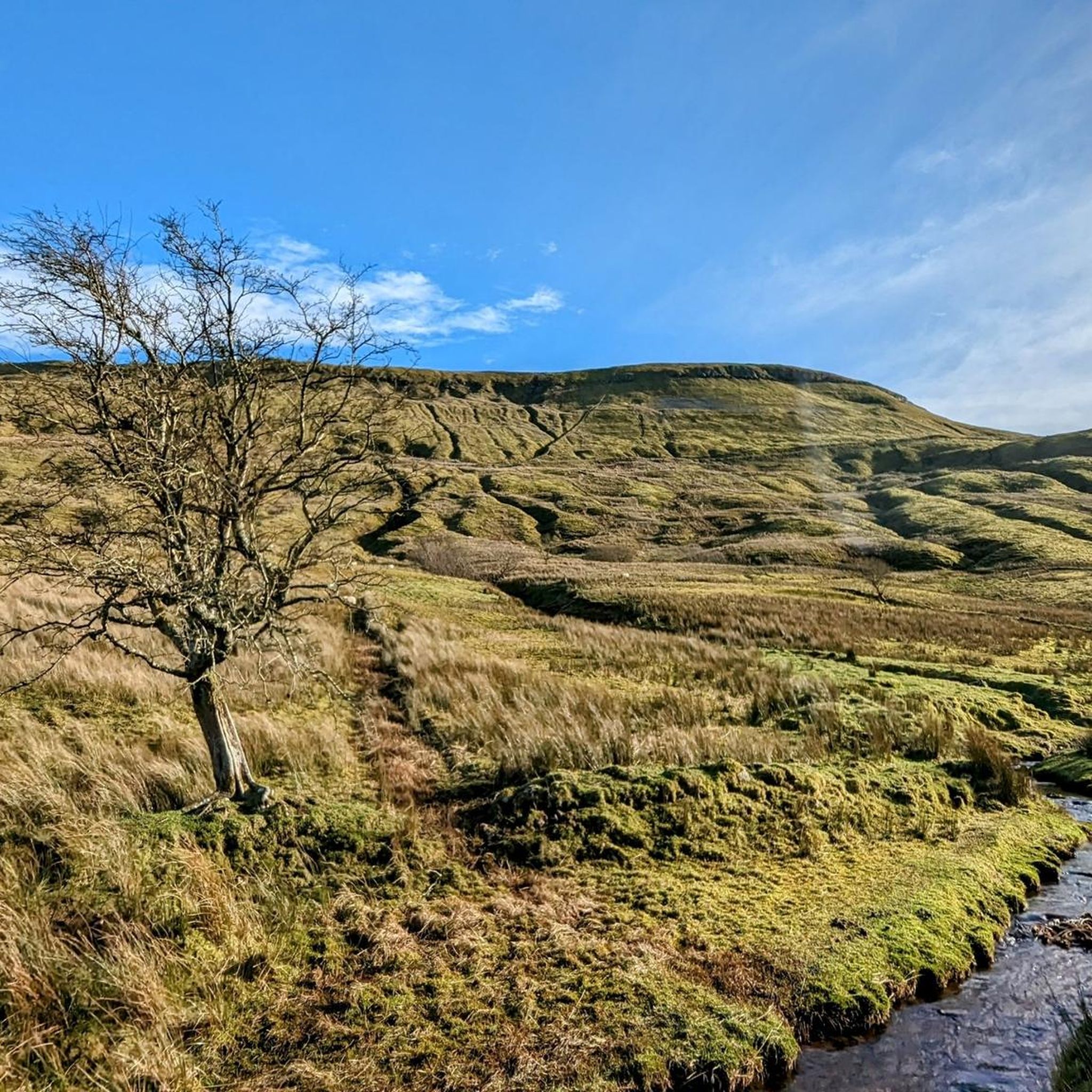
Road Cycling Routes around Fermanagh
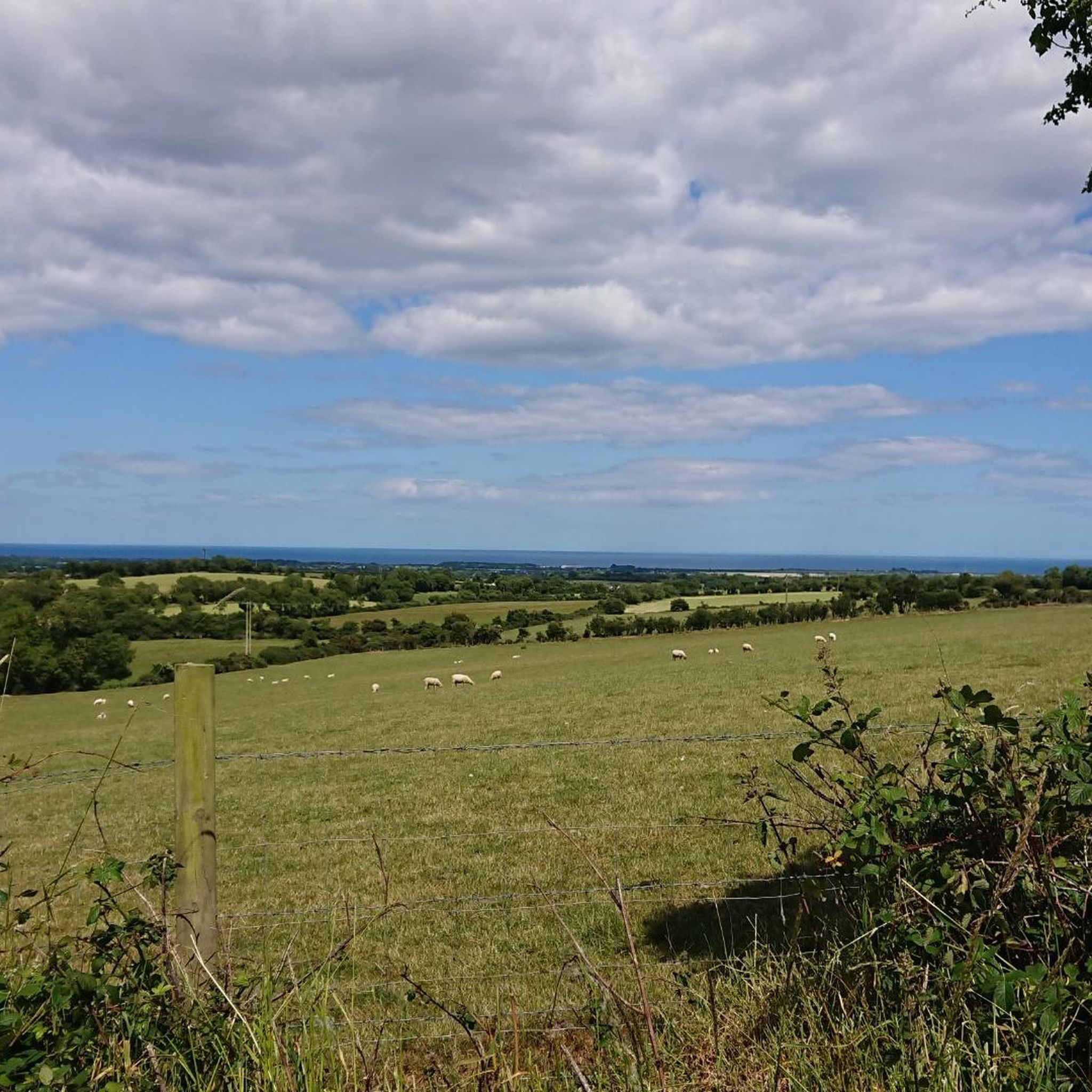
Road Cycling Routes in Newry And Mourne
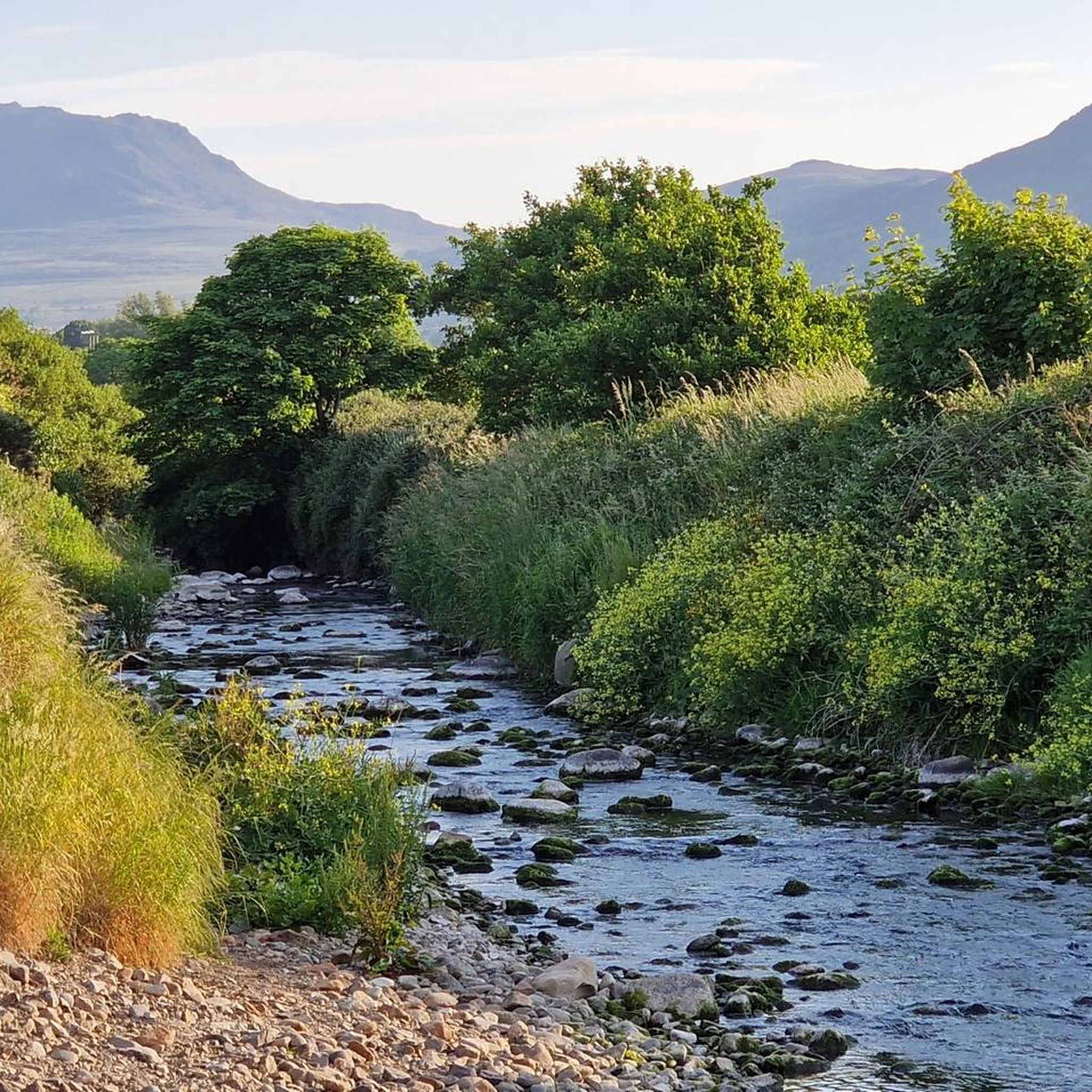
Road Cycling Routes around Dungannon
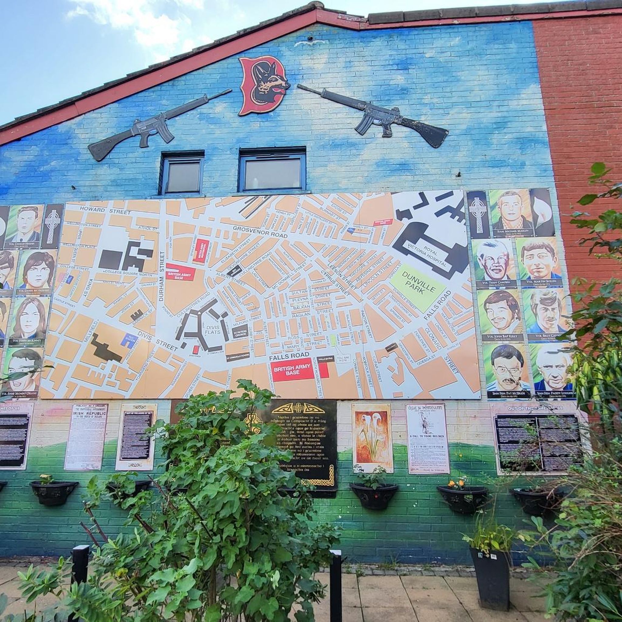
Road Cycling Routes around Edenderry
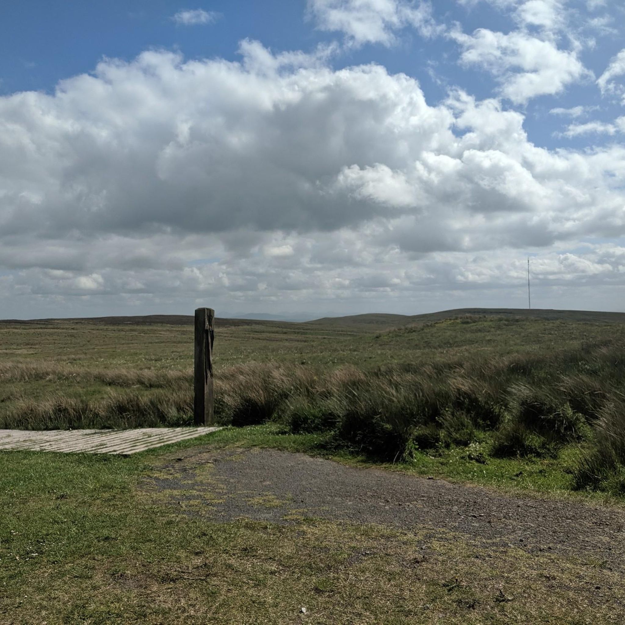
Road Cycling Routes around Ballygomartin
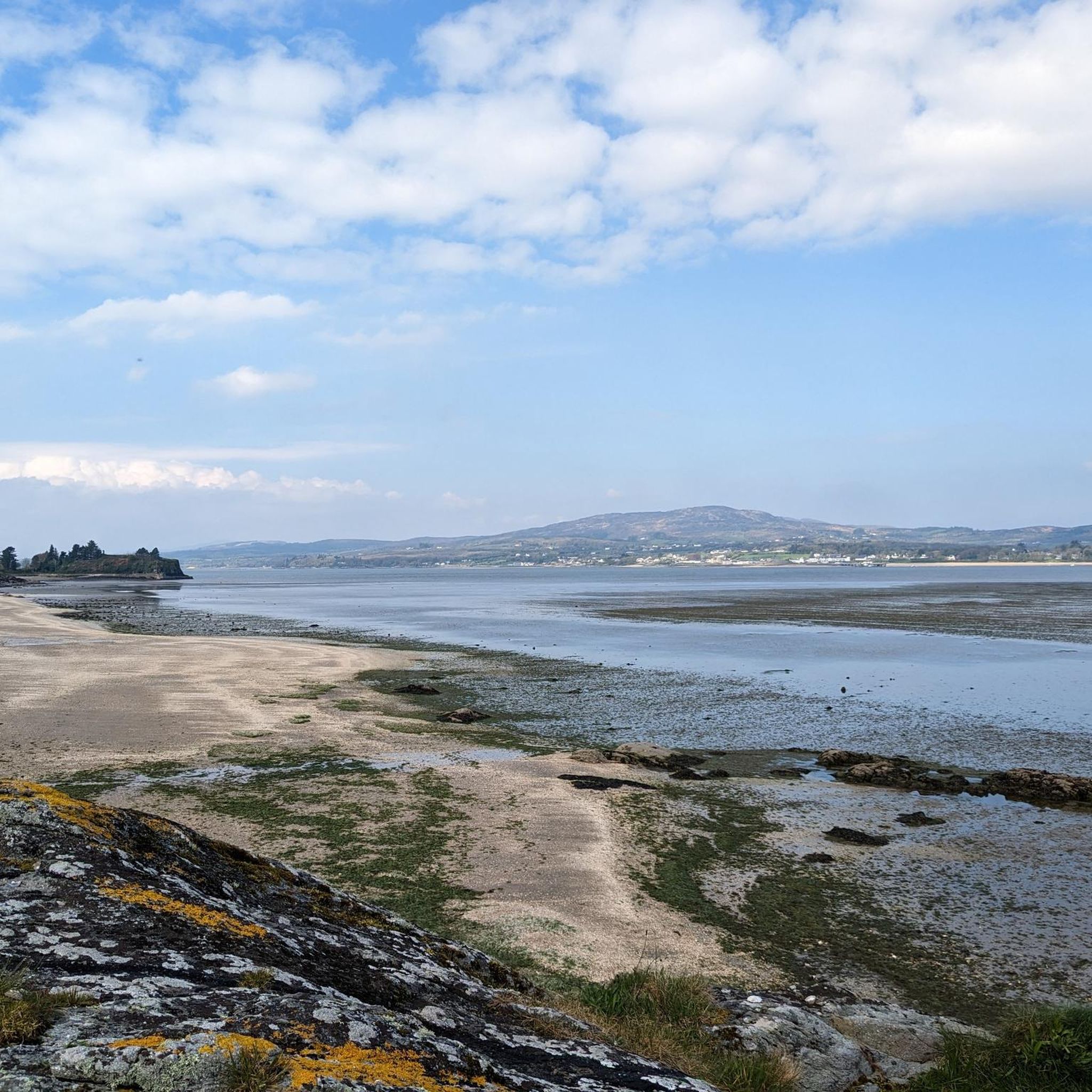
Road Cycling Routes in Derry
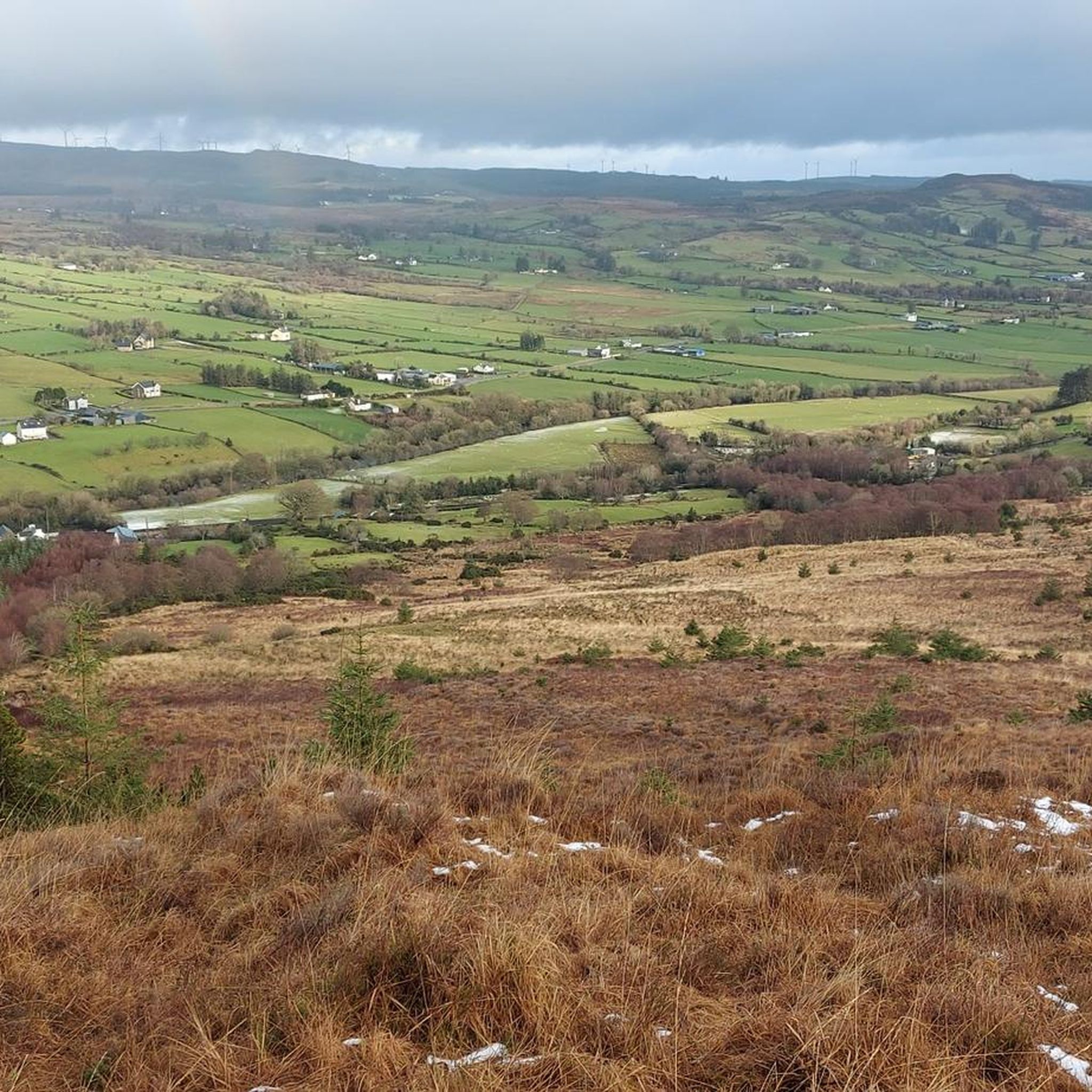
Road Cycling Routes around Strabane
Road Cycling Routes around Malone Lower
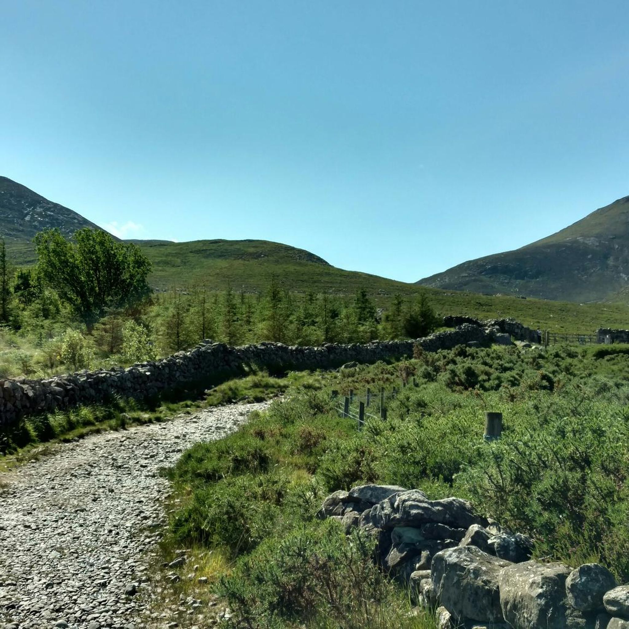
Road Cycling Routes in Craigavon
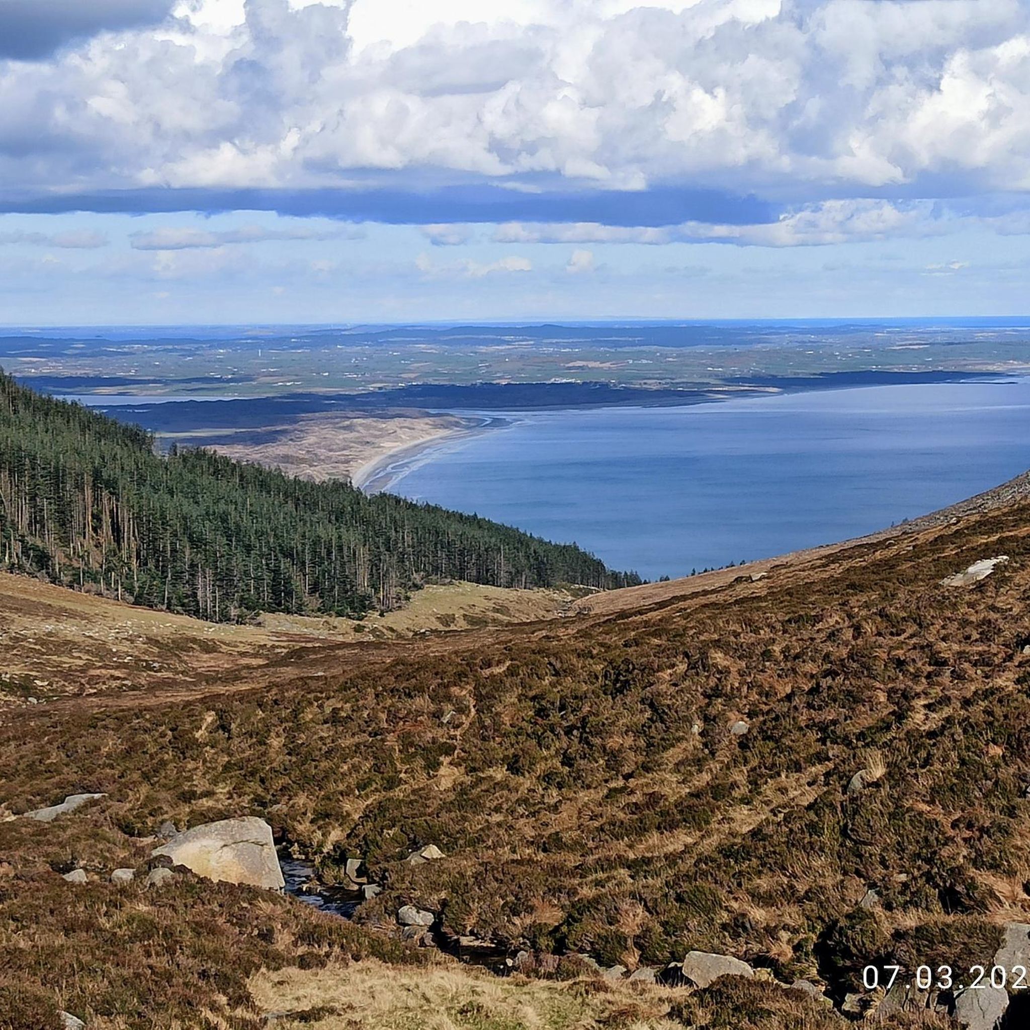
Road Cycling Routes in Down
Other adventures in Northern Ireland


Tips from the Community


Sketrick Castkle is a historic landmark situated on Sketrick Island near Whiterock. The castle dates back to the 12th century and the grounds are free to explore.
1
0

Take in the fabulous views of Lough Neagh from this stretch of road.
1
0
Take in the beautiful views of Lough Shore whilst cycling along this stretch of road.
1
0

Omagh is the county town of County Tyrone which plays host to a number of festivals and events throughout the year. A market town, there are plenty of places to stop to eat or drink and you can't fail to notice the twin spires of Sacred Heart Church.
2
0

This large tower house was built in the mid 15th century and was actively involved in warfare during the 16th century. It would have originally been four storeys high with a boat bay and subterranean passage. There were four chambers at ground level, the largest had a vault built on wicker centring and two ovens. The small unlighted room could have been a lock up or treasury. The tower-house was relatively complete until half of it collapsed in a storm in 1896. Part of the bawn wall survives to the north and east of the castle.
0
0
Daft Eddy's Restaurant / Pub is very popular with Cyclists, and is just up the hill. There is also a Car park with full facilities if you look back to the mainland just on your left.
0
0
Open every day 9am–9pm. freshly baked goodies, takeaway coffee, and fresh produce from 'The Poachers Pantry', and some great bottles of wine. It's a one stop foodie shop! And the pub is popular with cyclists. Originally established in the 1800’s as an old coaching inn, The Poacher’s Pocket is situated in the heart of picturesque County Down. This Michelin recommended restaurant offers modern Irish pub food using the finest locally sourced seasonal produce in a restaurant oozing in modern country charm.
0
0
Frequently Asked Questions
What kind of terrain can I expect on road cycling routes in Northern Ireland?
Northern Ireland offers a diverse range of terrain for road cycling. You can expect rugged coastlines with stunning sea views, serene countryside with rolling hills, and dramatic mountain ranges featuring challenging ascents. Areas like the Causeway Coast and Glens provide coastal roads and glens, while the Mourne Mountains offer significant climbs. Tranquil loughs and waterways characterize regions like Strangford Lough and the Fermanagh Lakelands, providing varied experiences for all skill levels.
Are there challenging climbs for experienced road cyclists in Northern Ireland?
Yes, Northern Ireland features several challenging climbs. The Mourne Mountains, for instance, offer routes with significant elevation gain, such as the Spelga Reservoir loop from Newcastle – Mourne. The Torr Head Road in the Causeway Coast area is also known for its brutally steep sections, with average gradients reaching 16% in parts. The Sperrin Mountains also provide challenging mountain rides.
Are there easy road cycling routes for beginners in Northern Ireland?
Yes, Northern Ireland offers numerous easier routes suitable for beginners or those seeking a more leisurely ride. Regions like Strangford Lough and the Ards Peninsula provide tranquil countryside and picturesque villages, often with flatter terrain. An example of an easy route is the Carrickmore and Sixmilecross loop from Omagh. Many routes also incorporate traffic-free sections or quiet country roads.
What natural features and landmarks can I see while road cycling in Northern Ireland?
Road cycling in Northern Ireland allows you to discover a wealth of natural features and historical landmarks. Along coastal routes, you might encounter the iconic Giant's Causeway, dramatic cliffs, and sandy beaches. Mountain ranges like the Mournes offer views of peaks such as Slieve Donard and scenic reservoirs. You can also cycle past historic castles like Dunluce Castle, explore the Glens of Antrim, or enjoy the tranquility of large loughs like Strangford Lough and Lough Neagh.
Are there circular road cycling routes available in Northern Ireland?
Yes, many road cycling routes in Northern Ireland are designed as circular loops, allowing you to start and finish in the same location. Examples include the Strangford Lough loop from Belfast, the Lough Neagh loop, and the Glenariff Forest loop from Ballymena. These loops often provide diverse scenery and return you to your starting point.
When is the best time of year to go road cycling in Northern Ireland?
Northern Ireland offers road cycling opportunities throughout the year, but the spring (April-May) and autumn (September-October) generally provide pleasant temperatures and fewer crowds. Summer (June-August) is also popular, though routes can be busier. While winter cycling is possible, be prepared for cooler temperatures, shorter daylight hours, and potentially wet or windy conditions, especially in exposed coastal or mountain areas.
Are there family-friendly road cycling routes in Northern Ireland?
Northern Ireland caters to various abilities, including families. Many regions offer quieter country roads and traffic-free sections that are ideal for family cycling. The Strangford Lough area, for example, has a 100-mile circular trail with traffic-free sections, perfect for a more relaxed pace. Look for routes described as 'easy' or those that stick to less-trafficked areas for a family-friendly experience.
Can I find amenities like cafes and pubs along road cycling routes in Northern Ireland?
Yes, many road cycling routes in Northern Ireland pass through charming villages and towns where you can find cafes, pubs, and other amenities. Coastal routes, particularly along the Causeway Coast, and routes through the Mourne Mountains or around Strangford Lough, often have opportunities for refreshment stops. Planning your route in advance can help identify suitable places to stop.
What do other road cyclists enjoy the most about road cycling in Northern Ireland?
The road cycling experience in Northern Ireland is highly rated by the komoot community, with an average score of 4.5 stars from over 700 reviews. Cyclists frequently praise the region's stunning and varied landscapes, from dramatic coastlines to tranquil loughs and challenging mountain passes. The diverse terrain and well-maintained routes, offering options for all skill levels, are also commonly highlighted as major attractions.
How many road cycling routes are available in Northern Ireland?
There are over 3,900 road cycling routes available in Northern Ireland on komoot. These routes range in difficulty from easy to difficult, ensuring there's an option for every type of cyclist, whether you're looking for a leisurely ride or a challenging endurance test.
Are there routes that explore the Glens of Antrim?
Yes, the Glens of Antrim offer beautiful road cycling opportunities. Routes like the Glenariff Forest loop from Ballymena allow cyclists to explore these nine valleys, characterized by rolling countryside and dramatic scenery. These routes often provide a mix of terrain suitable for moderate cycling.
Can I find routes that include waterfalls?
Yes, some road cycling routes in Northern Ireland incorporate natural attractions like waterfalls. For example, the Glenoe Waterfall loop from Belfast is a moderate route that allows you to visit this picturesque waterfall, offering a scenic break during your ride.
Most popular routes in Northern Ireland
Most popular attractions in Northern Ireland

Get inspired with the komoot mobile app


Didn’t find what you were looking for?
Check out more Road cycling routes throughout Northern Ireland below and find the perfect route in your destination.
