The best road cycling routes in North Dakota
5.0
(24)
235
riders
50
rides
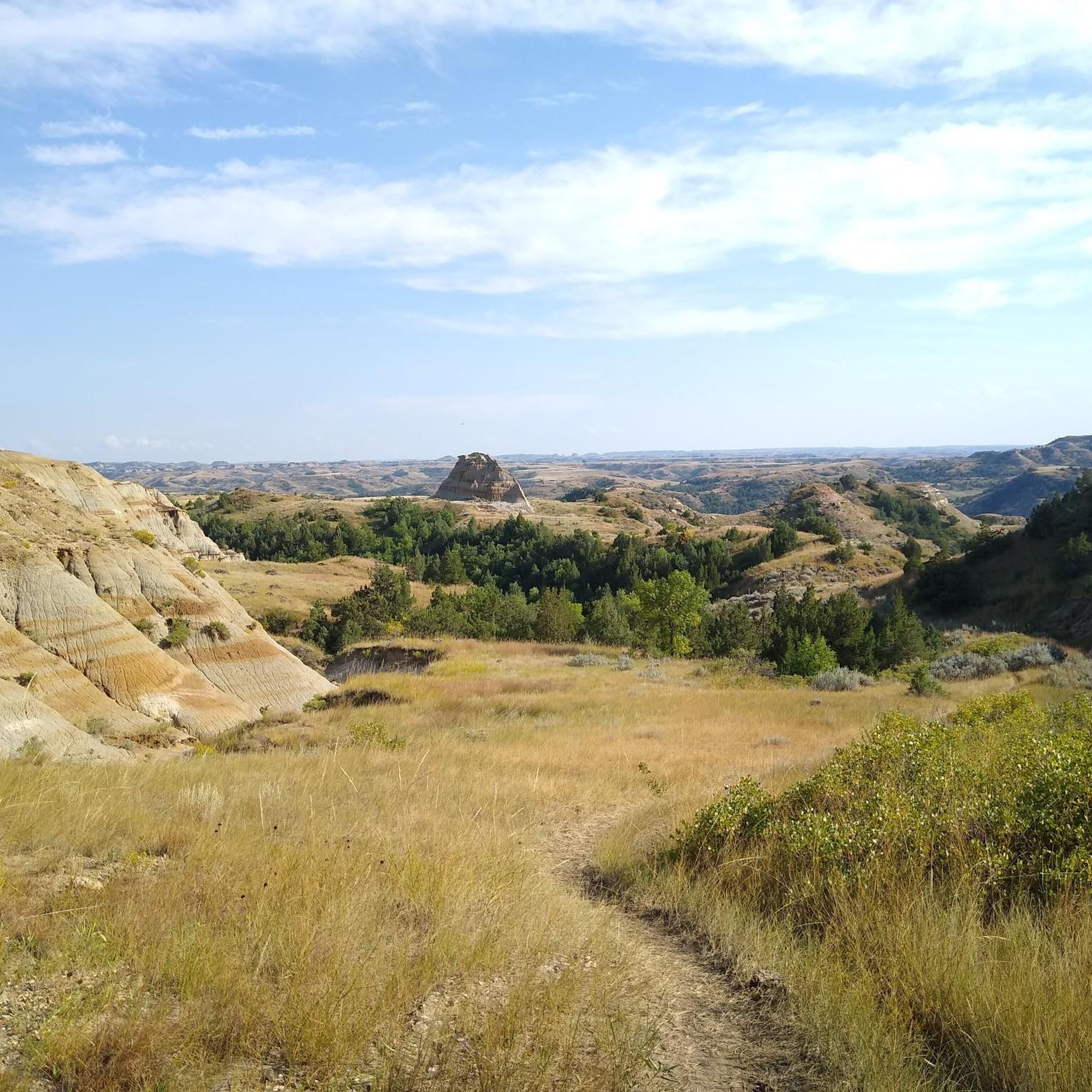
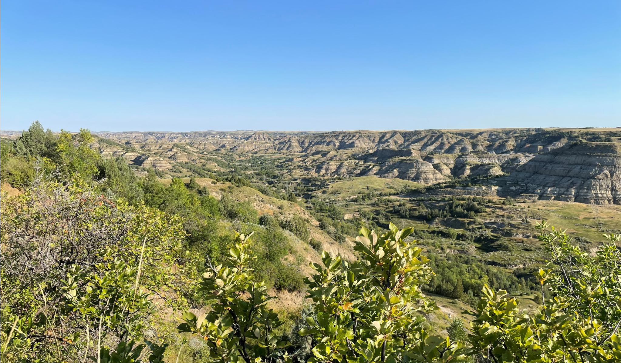
Road cycling in North Dakota offers diverse landscapes, from the rugged badlands and rolling prairies to scenic river valleys. The state features well-maintained roads and low traffic, making it suitable for both cross-country trips and day rides. Cyclists can explore dramatic geological formations, expansive grasslands, and tree-lined river routes. The terrain varies from flat prairie roads in the east to more challenging, rolling hills in the west, particularly within and around Theodore Roosevelt National Park.
Best road cycling routes in North Dakota
- The most popular road cycling route is East River Road to Scenic Loop Drive and Boicourt Overlook loop, a 34.8 miles (56.0 km) trail that takes 2 hours 38 minutes to complete, offering significant elevation gain through the badlands.
- Another top favourite among local road cyclists is St. Benedict loop, an easy 29.0 miles (46.7 km) path. This route features gentle gradients through agricultural landscapes.
- Local road cyclists also love the Sabin loop, a 33.6 miles (54.0 km) trail leading through open prairie, often completed in about 2 hours 5 minutes.
- Road cycling in North Dakota is defined by rugged badlands, vast prairies, and scenic river valleys. The network offers options for different ability levels, from easy loops to more challenging routes with significant climbs.
- The routes in North Dakota are highly rated by the komoot community with an average score of 5.0 stars from over 20 reviews. More than 100 road cyclists have used komoot to explore North Dakota's varied terrain.
Last updated: August 31, 2026
15
riders
56.0km
02:38
760m
760m
The East River Road to Scenic Loop Drive and Boicourt Overlook loop offers a fantastic road cycling experience, blending open roads with a scenic drive. This moderate 34.8-mile (56.0 km) route, with its 2480 feet (756 metres) of elevation gain, guides you through varied landscapes, culminating in the impressive viewpoints at Boicourt Overlook. Expect a ride that feels like a true journey, showcasing the natural beauty of North Dakota over approximately 2 hours and 38 minutes.
When planning your ride, consider starting early to make the most of the day and potentially avoid any crowds, especially if you're looking for parking for East River Road Scenic Loop cycling. The best time of year for this cycling route is typically during the warmer months, ensuring more pleasant weather conditions for your adventure. Always be prepared with adequate hydration and check local forecasts before heading out.
This route stands out among cycling trails near Boicourt Overlook for its combination of distance and elevation, making it a top-rated road cycling option in the region. It provides a comprehensive tour of the area's natural features, offering a great way to experience the landscape from your bike. The Boicourt Overlook itself is a key landmark, providing a memorable stopping point along the way.
5.0
(1)
11
riders
46.7km
01:59
60m
60m
If you're looking for a genuinely relaxed road cycling experience, the St. Benedict loop delivers a smooth, easy ride. This route is characterized by its flat terrain, making it an excellent choice for a casual outing where you can simply enjoy the scenery. The highlight of the journey is the consistent views of the Red River, providing a serene backdrop as you pedal along. It's a perfect escape for those who appreciate gentle landscapes and a straightforward path.
Planning your ride on the St. Benedict loop is quite simple due to its accessibility and easy nature. You won't need to worry about challenging climbs or technical sections, making it suitable for a spontaneous spin. Parking is readily available in the surrounding area, and the best time to cycle is often during the cooler parts of the day, like early morning or late afternoon, to fully appreciate the riverside views. This route is particularly welcoming for beginners or families.
What makes the St. Benedict loop stand out among St. Benedict loop road cycling routes is its consistent ease and the peaceful atmosphere it offers along the Red River. It's a great option if you're in the Fargo area and want to explore the local landscape without committing to a strenuous workout. The route's gentle profile and scenic river views provide a refreshing break, making it a local favorite for a quick, enjoyable ride.

Sign up for free
5.0
(4)
9
riders
54.0km
02:05
50m
50m
The Sabin loop offers a relaxed road cycling experience, guiding you through the flat, open landscapes of Cass County. As you pedal, you'll pass through the small settlement of Sabin, providing a sense of local charm. The route is characterized by its gentle terrain, making it a smooth ride for those who enjoy consistent pedaling without strenuous climbs. You might even spot some Unique Fargo Architecture along the way, adding a point of interest to your journey.
This moderate 33.5-mile (54.0 km) road cycling route, with only 176 feet (54 metres) of elevation gain, is a great option for a steady ride that takes approximately 2 hours and 4 minutes. You can start this loop from various points, making it convenient to access from surrounding areas. Parking is generally easy to find in the communities along the route, and it's best enjoyed during the warmer seasons when the weather is most favorable for cycling.
Ideal for beginner road cyclists or those looking for a longer, less challenging ride, the Sabin loop provides an accessible way to explore the region by bike. It's a good choice if you're building endurance or simply want to enjoy a peaceful ride through the countryside. The route's consistent profile means you can maintain a steady pace and truly settle into your rhythm.
9
riders
44.0km
02:04
580m
580m
The Scenic Loop Drive to Oxbow Overlook offers a unique road cycling experience through the rugged badlands of North Dakota. You'll navigate a landscape of sharp ridges, colorful sandstone pillars, and hoodoos, with the route's "roller coaster climbs" providing a constant challenge. The ride culminates at the stunning Oxbow Overlook, where the Little Missouri River carves its distinctive meander through the valley, a truly iconic view.
This moderate 27.3-mile (44.0 km) route, with 1897 feet (578 metres) of elevation gain, typically takes around 2 hours and 3 minutes to complete. Be prepared to share the road with vehicles, including large RVs, and keep an eye out for abundant wildlife like bison and wild horses. The Oxbow Overlook parking area serves as a convenient starting point for this engaging ride.
What makes this route particularly special is the immersive wildlife viewing opportunities set against the dramatic backdrop of the badlands geology. The ever-present chance to spot wild horses or bison adds an element of adventure to the ride, making it more than just a physical challenge. It's a journey through a living, breathing landscape that feels truly wild and untamed.
3
riders
19.1km
00:48
20m
20m
The Wall Street loop offers a refreshing escape on two wheels, guiding you along paved paths with gentle curves and open views. You'll find yourself cruising near the Red River of the North, where the water provides a calm, scenic backdrop to your ride. This route is designed for ease and enjoyment, perfect for unwinding.
Planning your ride is straightforward; as a loop, you can begin at any convenient point in the Wall Street area where parking is typically accessible. Given its easy nature, you don't need extensive preparation, but a quick check of the weather is always a good idea. It's a great option for a spontaneous outing.
This 11.9-mile (19.1 km) road cycling route features a minimal 78 feet (24 metres) of elevation gain, making it an easy ride that most can complete in about 47 minutes. It's an excellent choice if you're looking for a quick, accessible spin without any challenging climbs, ideal for a casual afternoon or a warm-up.
2
riders
59.5km
02:19
50m
50m
The Harwood loop offers a wonderfully relaxed road cycling experience through the Harwood area, perfect for unwinding on two wheels. You'll enjoy open, quiet roads and pleasant scenery, including views of the Red River of the North, making for a peaceful journey. The route's minimal elevation gain means you can focus on enjoying the ride without strenuous climbs, making it accessible for a wide range of cyclists.
Planning your visit to this Harwood loop road cycling route is straightforward. You can typically find convenient parking within the Harwood area to start your ride, and the route is generally suitable for cycling throughout much of the year, weather permitting. It's a great option for a casual morning spin or an afternoon outing, as it doesn't require extensive logistical planning.
This moderate 37.0-mile (59.5 km) loop, with only 149 feet (45 metres) of elevation gain, is a fantastic option for those seeking a low-stress ride that can be completed in about 2 hours and 18 minutes. It's particularly well-suited for beginner cyclists or anyone looking for a gentle, scenic escape on their road bike without the challenge of significant hills.
2
riders
68.5km
02:36
50m
50m
The Grand Forks into Minnesota loop offers a quintessential Red River Valley road cycling experience, characterized by vast agricultural fields and the meandering Red River. You'll enjoy mostly flat terrain, with occasional gentle rolls, making it perfect for covering long distances. The scenery shifts from open farmland to more riparian views with trees and river bends as you approach and cross the Red River, providing a pleasant journey through this unique landscape.
To tackle this moderate 42.5-mile (68.5 km) route, which typically takes around 2 hours and 36 minutes with just 178 feet (54 metres) of elevation gain, plan your start from any convenient point in Grand Forks. The route uses existing rural roads and river crossings into Minnesota, so parking is generally available in various public areas within Grand Forks. Be prepared for potential strong winds, which are common in the open plains and can significantly increase the effort required for your ride.
This loop is an excellent way to experience the unique characteristics of the Red River Valley's cycling terrain. While there are no major landmarks, the continuous agricultural vistas and the occasional glimpse of the Red River offer a peaceful and immersive ride. The changing seasons bring different visual delights, from lush green fields in summer to golden hues in the fall, making it a route that can be enjoyed multiple times a year.
2
riders
26.4km
01:24
140m
140m
The Bismark Capital to St. Mary's Overlook offers a straightforward road cycling experience, perfect for those seeking a relaxed ride. You'll start near the notable North Dakota State Capitol, enjoying a mostly flat journey that culminates in the pleasant views from St. Mary's Overlook. It's a great way to explore some of Bismarck's landmarks and enjoy the outdoors without strenuous effort.
This easy 16.4-mile (26.4 km) route features a modest 448 feet (137 metres) of elevation gain, making it suitable for most fitness levels and achievable in about 1 hour and 23 minutes. Parking is readily available near the Capitol building, providing a convenient starting point. For the most comfortable experience, consider cycling in the morning or late afternoon, especially during warmer seasons, to avoid the midday sun.
This route stands out as one of the popular road cycling routes in Bismarck ND, particularly for its accessibility and the opportunity to combine a gentle workout with local sightseeing. It's an excellent option for family friendly cycling in Bismarck, or for anyone looking for a quick, scenic escape on two wheels.
2
riders
103km
03:54
250m
260m
Embark on a significant road cycling adventure from Riverdale to Fort Stevenson State Park, a journey that spans 63.9 miles (102.9 km). This route offers a moderate challenge, with 836 feet (255 metres) of elevation gain, and typically takes around 3 hours and 54 minutes to complete. You'll experience the expansive North Dakota scenery as you pedal between these two points, arriving at the welcoming Marina at Fort Stevenson State Park.
For planning your ride, consider starting your day early to make the most of the journey, especially if you're cycling during the warmer seasons. Parking is available in Riverdale and within Fort Stevenson State Park, making it convenient for either a one-way trip with a shuttle or a return ride. Always carry enough water and snacks for this extended distance.
This route is ideal for road cyclists looking for a substantial ride that connects a small town with a state park, offering a different perspective of the region. While not a dedicated trail, it provides a clear path for exploring the area by bike, culminating in the recreational opportunities available at Fort Stevenson State Park.
1
riders
25.8km
01:04
30m
30m
The Fargo and Moorhead River Trails Loop offers a delightful road cycling experience, tracing the scenic curves of the Red River of the North. This easy route is perfect for a casual spin, allowing you to soak in the riverside atmosphere and admire the Unique Fargo Architecture as you pedal. It's a flat and accessible path, making it a popular choice for anyone looking for a relaxing ride without significant challenges.
Planning your ride is simple; you'll find various parking options along the route in both Fargo and Moorhead. The best time to visit for cycling is typically during the warmer months, from late spring through early fall, when the weather is most pleasant for an outdoor excursion. This loop is well-suited for a quick outing, taking approximately 1 hours and 3 minutes to complete.
This 16.1-mile (25.8 km) loop, with its minimal 95 feet (29 metres) of elevation gain, is a fantastic way to explore the Red River Greenway. It provides a unique opportunity to cross between two states, North Dakota and Minnesota, all while enjoying a smooth, easy ride. It's a great option for family-friendly cycling or for beginners looking to enjoy the outdoors.
Get access to more routes and recommendations from other explorers.
Sign up for free
Already have an account?
Our route recommendations are based on thousands of hikes, rides, and runs completed by other people on komoot.
Start today with a free account
Your next adventure awaits.
Login or Signup
Popular around North Dakota
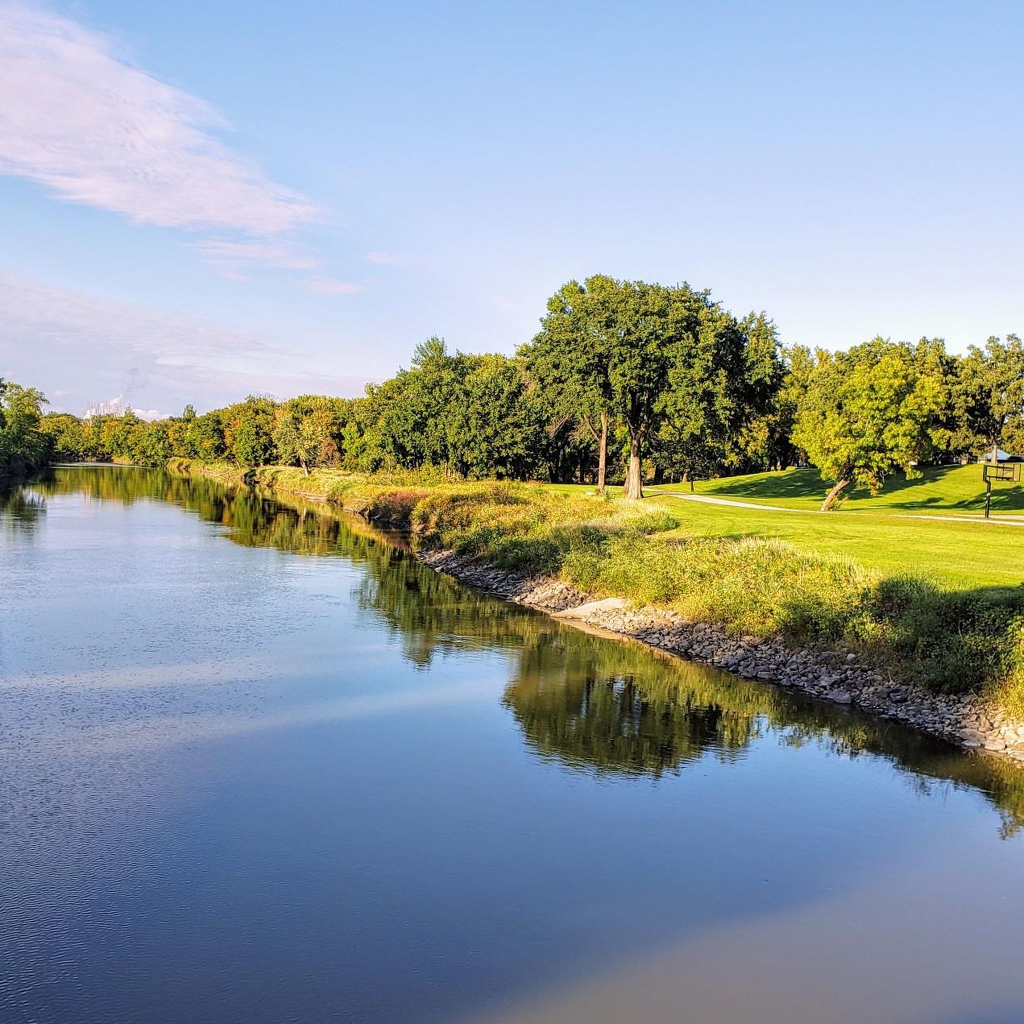
Road Cycling Routes in Cass County
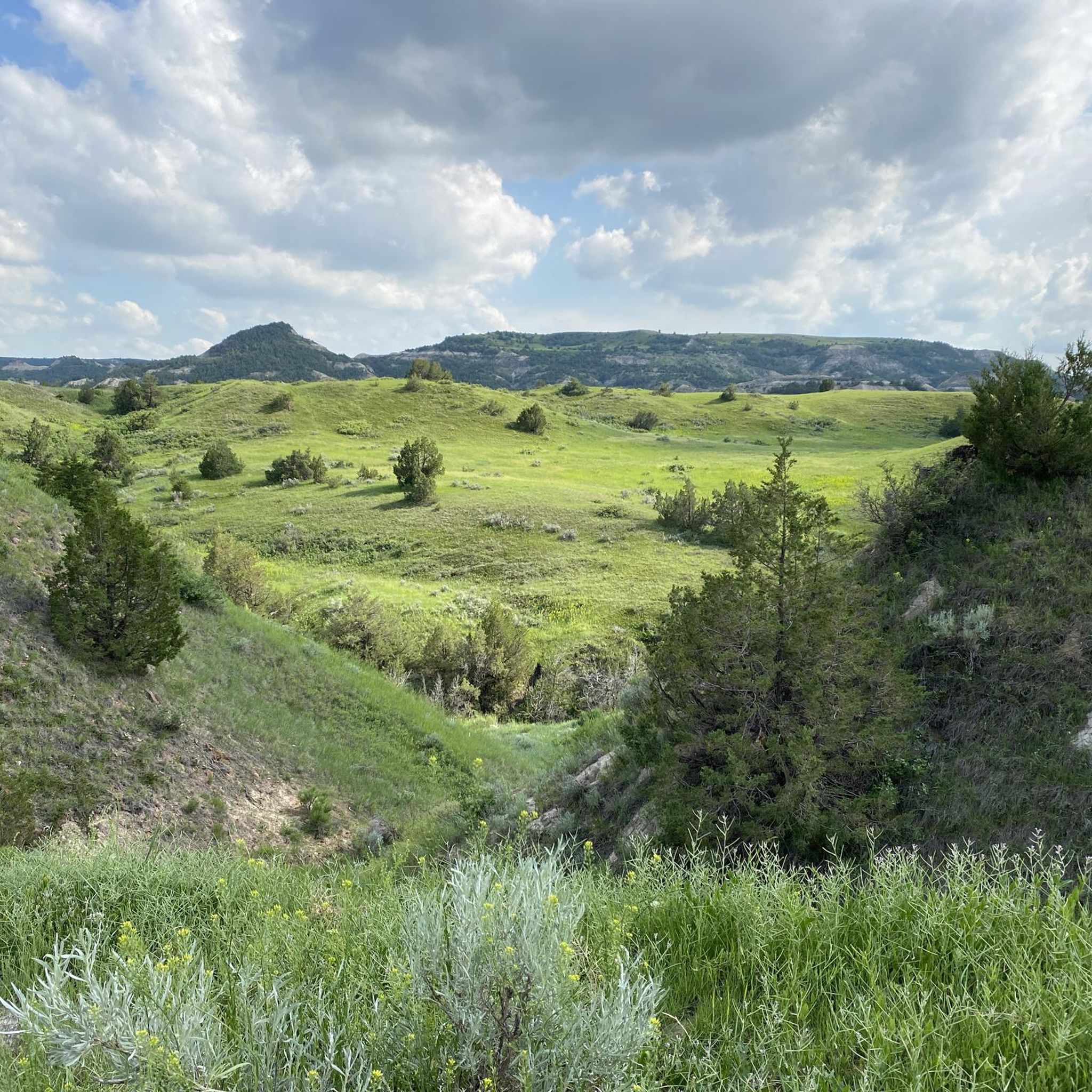
Road Cycling Routes in Dakota Prairie Grasslands
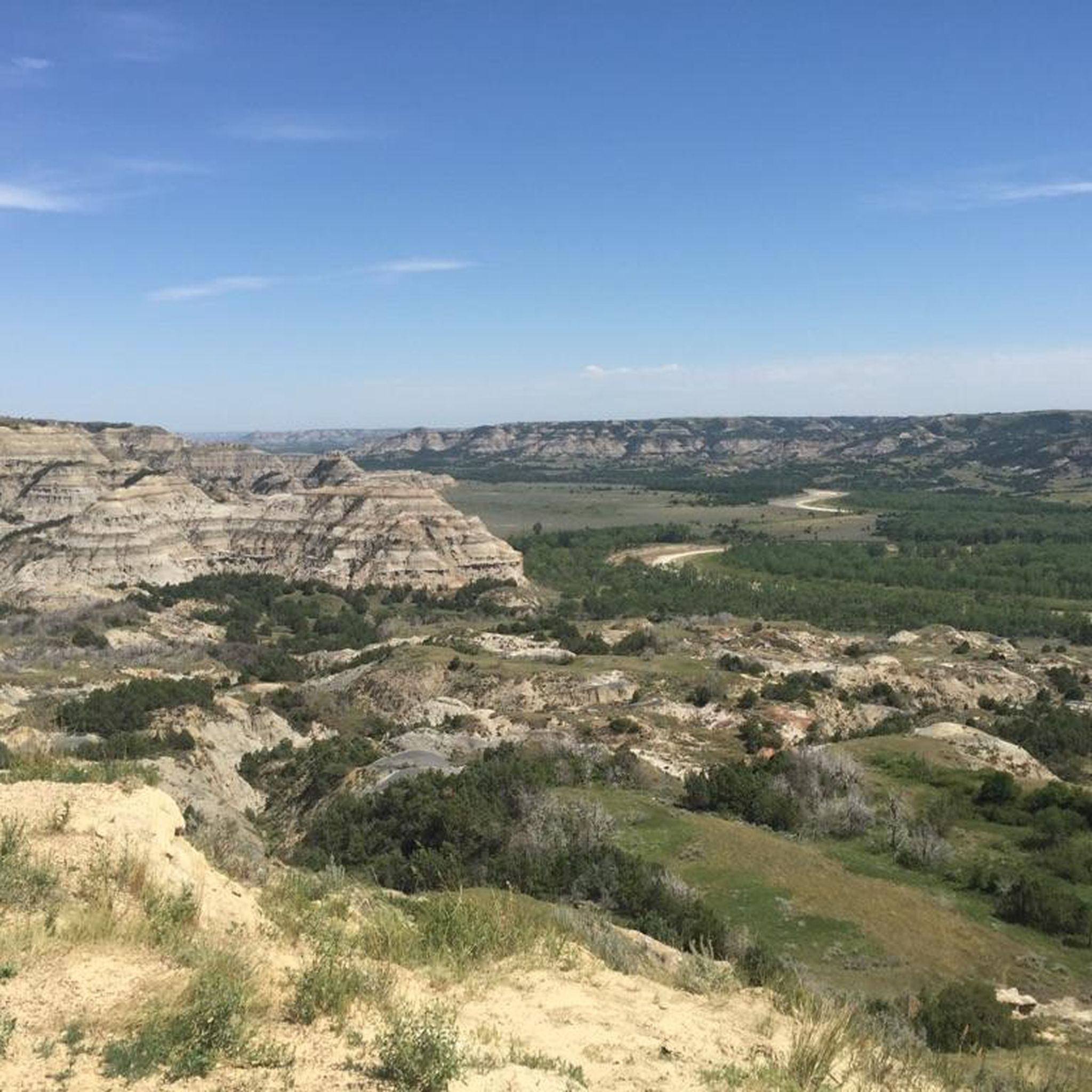
Road Cycling Routes in McKenzie County

Road Cycling Routes in Ward County
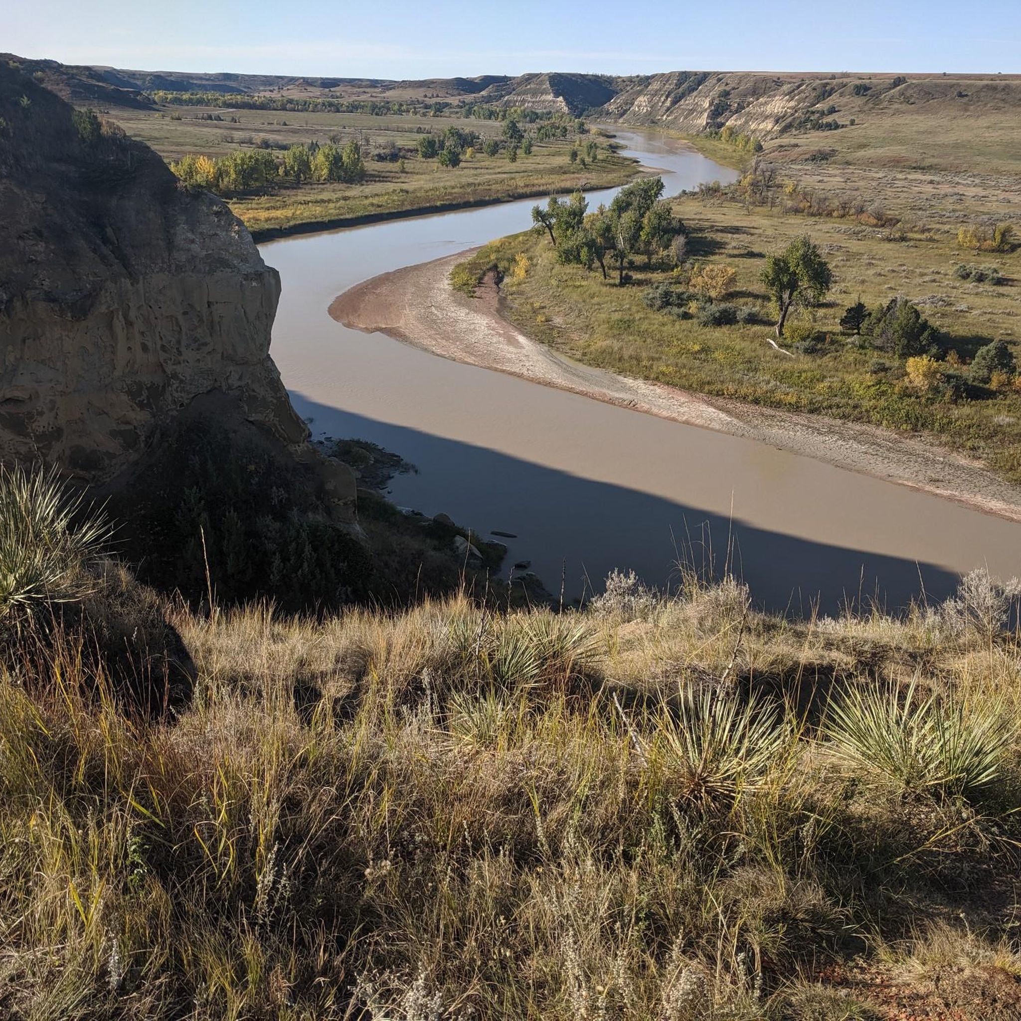
Road Cycling Routes in Billings County
Road Cycling Routes in Golden Valley County

Road Cycling Routes in Grand Forks County

Around the World in 80 Days

The Lewis & Clark Trail — Following the Corps of Discovery
Maah Daah Hey Trail — The legendary Badlands trek
Other adventures in North Dakota


Tips from the Community

This road winds back and forth in oxbows not unlike the nearby Little Missouri, or "Little Mo," river. It's also one of the only two paved roads in Theodore Roosevelt National Park; the other is Scenic Loop Drive, which you can access from East River Road. Be on the lookout for wildlife, including bison. The National Park Service warns that cyclists should stay at least 25 yards away from bison, horses and other wildlife — for your safety.
1
0

Great viewpoint of Theodore Roosevelt National Park and the surrounding areas.
1
0
This is the parking area for the Oxbow Overlook, a stunning viewpoint where you can take in the Little Missouri River bending and winding back on itself — the curving shape known as an oxbow. It's easiest to bring a lock and secure your bike here, then take a quick walk up to the viewpoint.
1
0

The Red River of the North flows near Fargo and forms a natural border between North Dakota and Minnesota. Despite occasional flooding, the river provides recreational opportunities for fishing, boating, and hiking along its scenic banks.
0
0
Harwood is a quaint rural community, just outside of Fargo. The town offers a mix of residential areas, local businesses, and agricultural surroundings.
0
0
Sabin is a charming small town just across the river from Fargo on the Minnesota side. The town boasts a rural ambiance with well-kept streets, local businesses, and a focus on preserving its small-town charm.
0
0

Known as the Red River of the North, this river flows northward through the Red River Valley and forms most of the border between the states of North Dakota and Minnesota.
0
0
Great view point of Theodore Roosevelt National Park and the surrounding areas.
0
0
Frequently Asked Questions
What kind of terrain can I expect when road cycling in North Dakota?
North Dakota offers a diverse range of terrain for road cyclists. You'll find flat, expansive prairie roads in the eastern part of the state, particularly around the Red River Valley. In contrast, the western region, especially within and around Theodore Roosevelt National Park, features more challenging, rolling hills and rugged badlands with significant elevation changes. River valleys like the Sheyenne and Missouri also provide varied and picturesque rides.
Are there road cycling routes suitable for beginners or those looking for an easy ride?
Yes, North Dakota has numerous easy road cycling routes. For instance, the St. Benedict loop is an easy 29-mile path with gentle gradients through agricultural landscapes. Another accessible option is the Wall Street loop, which is just under 12 miles and also rated easy. In total, there are over 20 easy routes available in the region.
Where can I find more challenging road cycling routes in North Dakota?
For more advanced road cycling, the badlands of Theodore Roosevelt National Park offer the most significant challenges. Routes like the East River Road to Scenic Loop Drive and Boicourt Overlook loop, a 34.8-mile ride, feature substantial elevation gain. The park's scenic drives provide a rewarding experience with dramatic geological formations and rolling terrain. Overall, there are 19 moderate and 1 difficult route for those seeking a greater challenge.
What are some scenic viewpoints or natural features I can see along road cycling routes?
North Dakota's road cycling routes offer many scenic viewpoints and natural features. In Theodore Roosevelt National Park, you can experience the dramatic badlands from overlooks like the Painted Canyon Overlook or the Ridgeline Nature Trail Overlook. The Sheyenne River Valley National Scenic Byway provides views of a snaking river and charming small towns. Additionally, you can find highlights such as the Views of Lake Sakakawea along some routes.
Are there any family-friendly road cycling options in North Dakota?
Many of North Dakota's paved trails in cities and state parks are excellent for family-friendly road cycling. The Missouri Valley Millennium Legacy Trail, connecting Fort Abraham Lincoln State Park to Mandan, offers a paved path along the Missouri River with historical points of interest. The Fargo and Moorhead River Trails Loop is another easy, accessible option. For a state park experience, the Lake Metigoshe Paved Trail loop within Lake Metigoshe State Park is also suitable for families.
What is the best time of year for road biking in North Dakota?
The best time for road biking in North Dakota is typically from late spring through early fall (May to October). During these months, the weather is generally mild and pleasant. Summer offers warm temperatures, while spring and fall provide cooler rides and beautiful scenery, especially with autumn foliage in areas like the Sheyenne River Valley. Always check local weather forecasts before heading out.
Can I expect to see wildlife while road cycling in North Dakota?
Yes, encountering wildlife is a distinct possibility, especially in natural areas. In Theodore Roosevelt National Park and the surrounding Little Missouri National Grassland, cyclists often spot bison, wild horses, prairie dogs, and elk. The state's diverse landscapes, from badlands to river valleys, provide habitats for various species, making wildlife sightings a common and exciting part of the cycling experience.
Are there any circular road cycling routes in North Dakota?
Many road cycling routes in North Dakota are designed as loops, offering convenient starting and ending points. Examples include the East River Road to Scenic Loop Drive and Boicourt Overlook loop in the badlands, the easy St. Benedict loop through agricultural areas, and the Harwood loop through open prairie. These circular routes allow you to explore the region without retracing your path.
What do other road cyclists enjoy most about road cycling in North Dakota?
The road cycling experience in North Dakota is highly rated by the komoot community, with an average score of 5.0 stars from over 20 reviews. Reviewers often praise the state's diverse landscapes, from the dramatic badlands to the peaceful prairie roads, and the generally low traffic. The opportunity to immerse oneself in nature and spot abundant wildlife is also frequently highlighted as a major draw.
Are there any specific permits or regulations for cycling in Theodore Roosevelt National Park?
While bicycles are welcome on all public roads within Theodore Roosevelt National Park, including the scenic drives, riders must share the road with vehicles. There are no specific permits required for cycling on these roads. However, off-road cycling and mountain biking are generally not allowed within the park's immediate boundaries. For detailed information on park regulations, you can visit the official NPS website: nps.gov/thro/planyourvisit/bicycling.htm.
Where can I find information about parking at road cycling trailheads?
Parking availability varies by route and location. For routes within state parks or national parks, designated parking areas are typically available at visitor centers or trailheads. For routes starting in towns or cities, public parking lots may be an option. It's always advisable to check the specific route details on komoot or local tourism websites for information on parking facilities before you start your ride.
Are there any long-distance road cycling routes or multi-day options in North Dakota?
North Dakota's low traffic and well-maintained roads make it suitable for longer cross-country bike trips. While the Maah Daah Hey Trail is primarily for mountain biking, its proximity to road access in the Badlands offers rugged backcountry experiences. For road cyclists, routes like Riverdale to Fort Stevenson State Park, at over 60 miles, provide a longer day ride. The state's scenic byways, such as the Sheyenne River Valley National Scenic Byway, also lend themselves to multi-day exploration with stops in charming small towns.
Most popular attractions in North Dakota

Get inspired with the komoot mobile app


Didn’t find what you were looking for?
Check out more Road cycling routes throughout North Dakota below and find the perfect route in your destination.
Explore more
Browse the best Road cycling routes in other regions.
