The best walks and hikes around Nordrach
4.6
(3185)
10,349
hikers
114
hikes
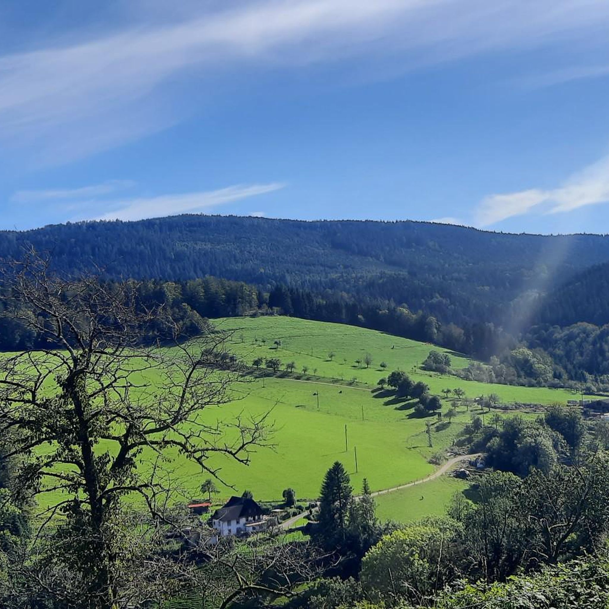
Hiking around Nordrach offers exploration within a picturesque Black Forest valley, characterized by varied terrain and lush nature. The region's elevation ranges from 255 to 878 meters above sea level, contributing to diverse landscapes. This area provides a network of well-maintained trails through forests and open areas, with features like the Mooskopf and the Lothar Memorial.
Best hiking trails around Nordrach
- The most popular hiking route is Moosturm – Kornebene Nature Friends House loop from Nordrach, a 9.3 miles…
Last updated: July 5, 2026
4.8
(125)
420
hikers
14.9km
04:57
640m
640m
Moderate hike. Good fitness required. Mostly accessible paths. Sure-footedness required.
4.2
(24)
101
hikers
Moderate hike. Good fitness required. Easily-accessible paths. Suitable for all skill levels.

Sign up for free
4.7
(31)
80
hikers
Easy hike. Great for any fitness level. Easily-accessible paths. Suitable for all skill levels.
4.6
(34)
92
hikers
12.8km
03:56
480m
480m
Moderate hike. Good fitness required. Easily-accessible paths. Suitable for all skill levels.
4.8
(27)
87
hikers
16.2km
04:49
500m
500m
Moderate hike. Good fitness required. Easily-accessible paths. Suitable for all skill levels.
Get access to more routes and recommendations from other explorers.
Sign up for free
Already have an account?
Our route recommendations are based on thousands of hikes, rides, and runs completed by other people on komoot.
Start today with a free account
Your next adventure awaits.
Login or Signup
Popular around Nordrach
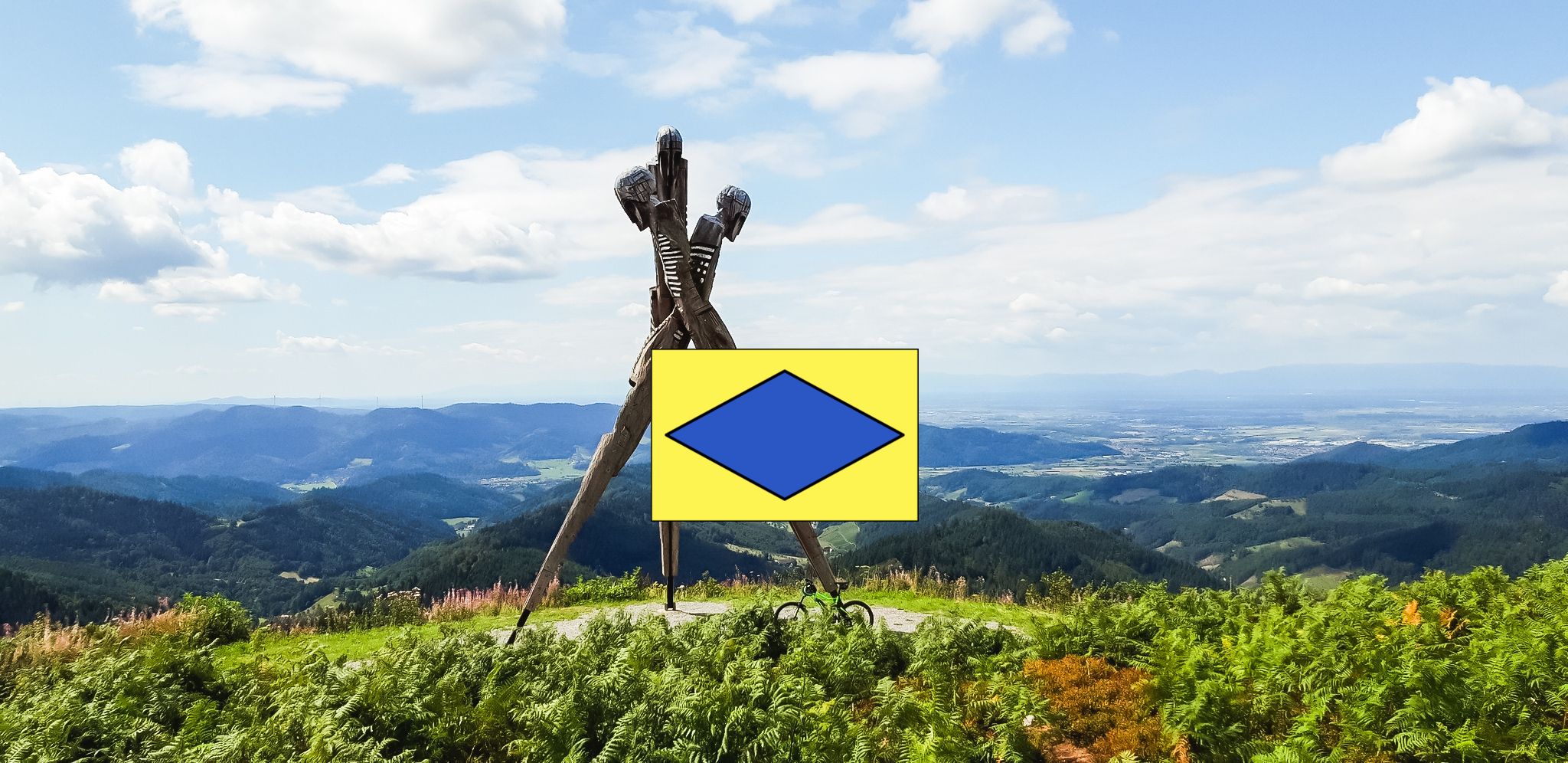
Crossway Gengenbach - Alpirsbach
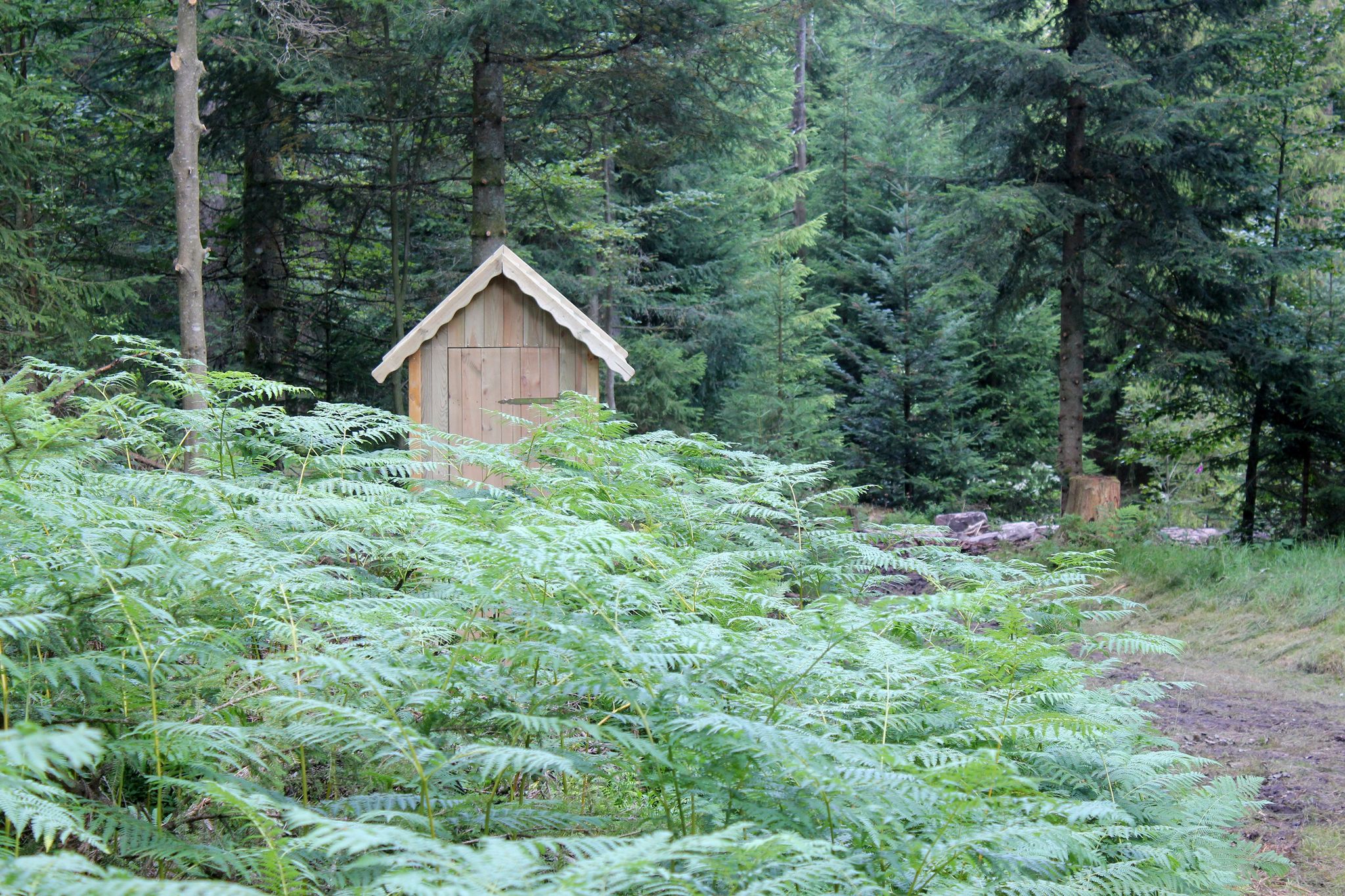
Trekking Black Forest 7-day tour from Alpirsbach to Biberach
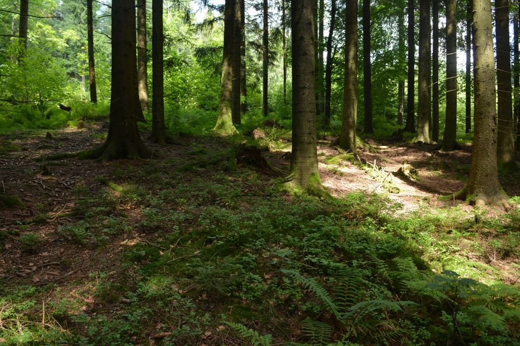
Trekking Black Forest 7-day tour from Forbach to Biberach
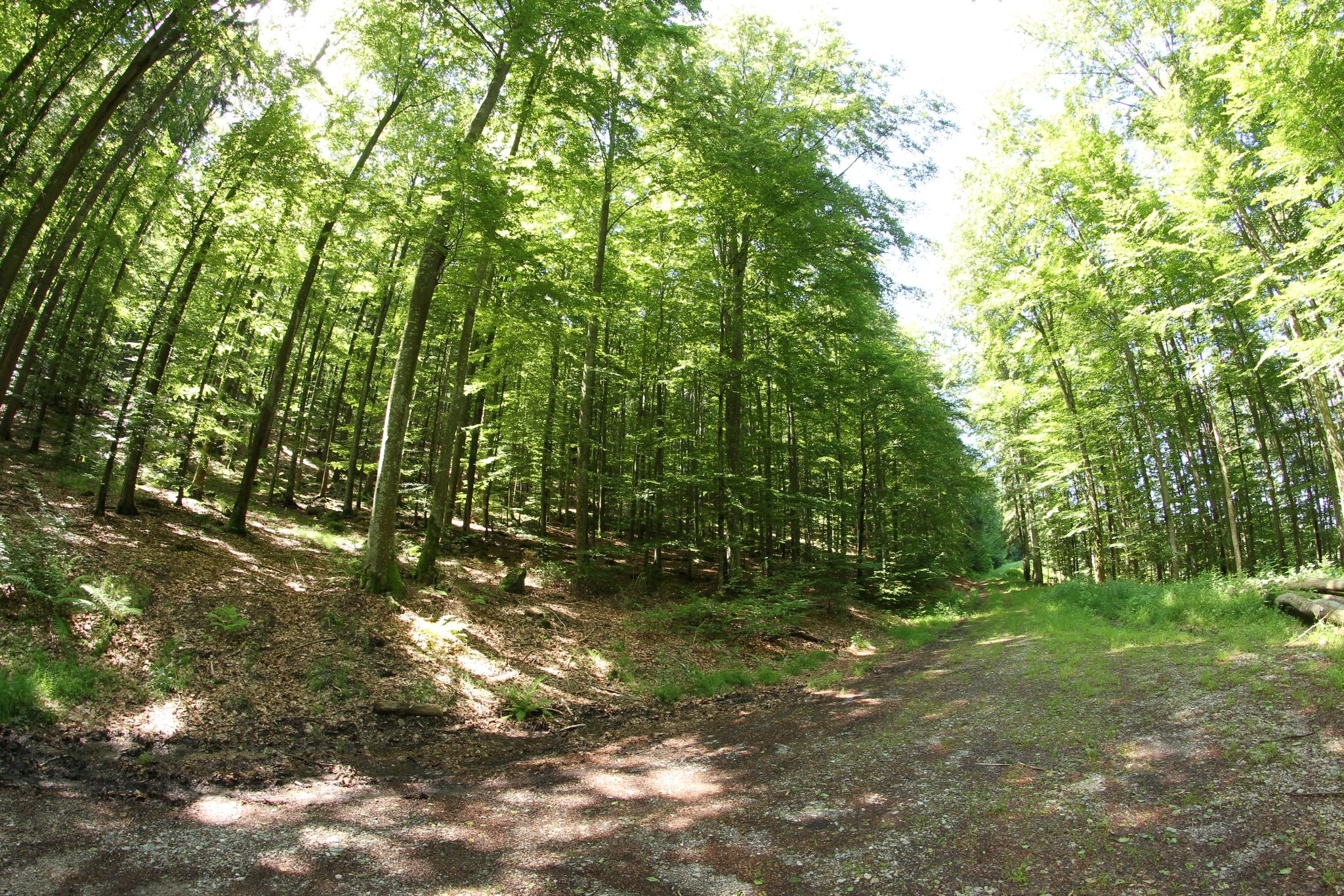
Trekking Black Forest 6-day tour from Malschbach to Biberach
Trekking in the Black Forest 4-day tour to camps Erdbeerloch, Späneplatz & Schnaitberg Eck
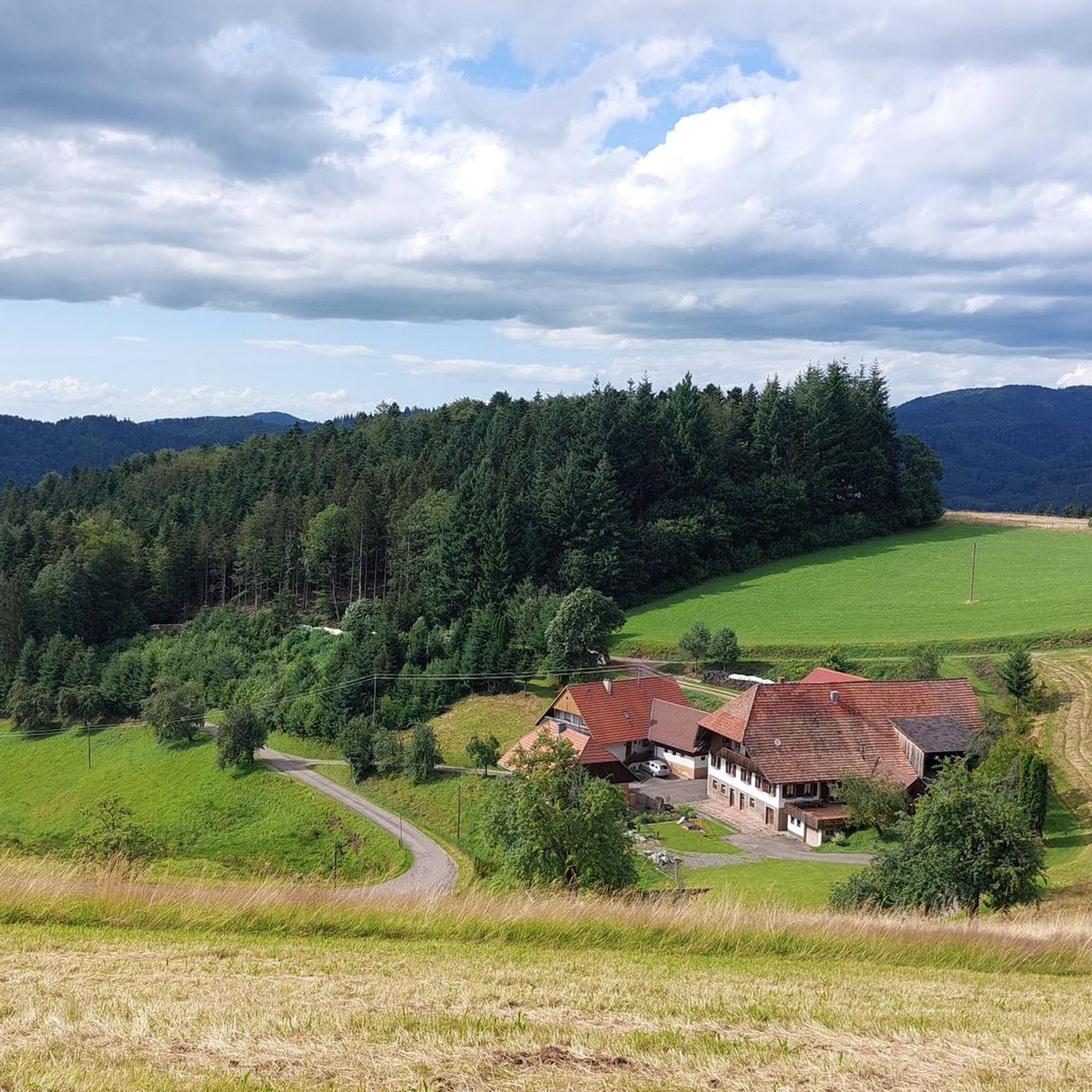
Road Cycling Routes around Nordrach
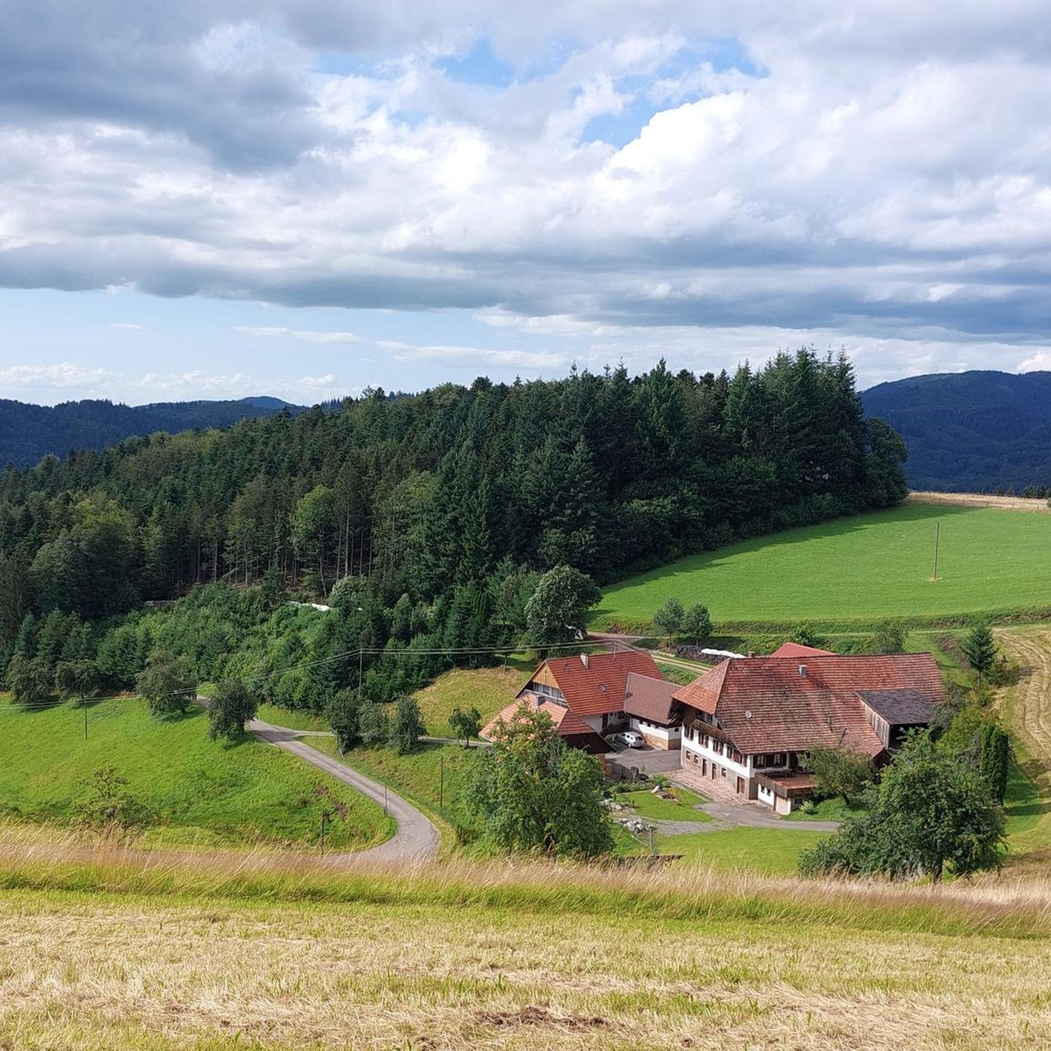
Cycling around Nordrach
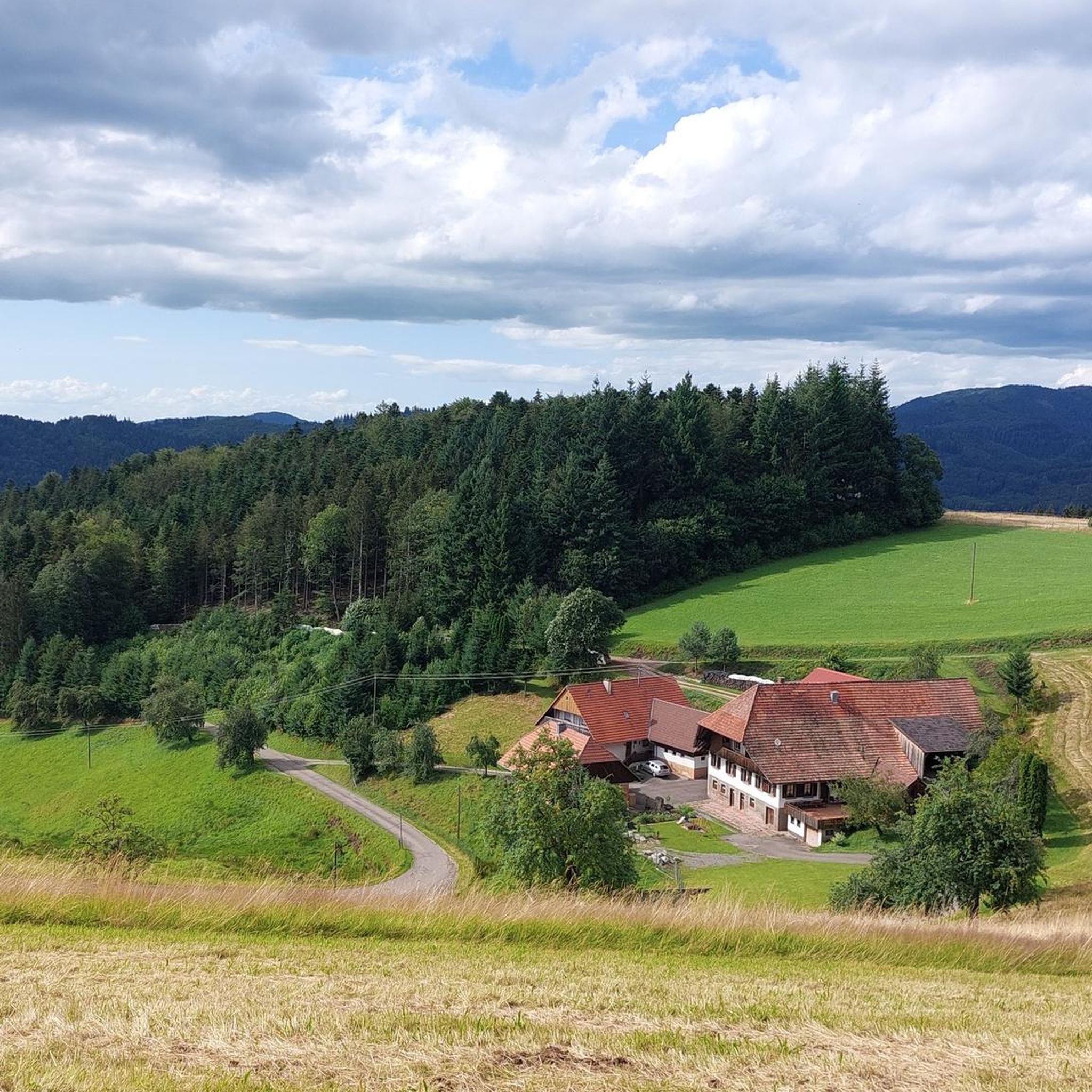
MTB Trails around Nordrach
Running Trails around Nordrach

Gravel biking around Nordrach
Other adventures around Nordrach


Tips from the Community


The benches are all very well maintained and in immaculate condition.
1
0

Magnificent view of the Kinzig Valley
1
0
The monument commemorates the poet Grimmelshausen
1
0
Frequently Asked Questions
How many hiking trails are available in Nordrach?
Nordrach offers a comprehensive network of over 110 signposted hiking trails, catering to various preferences and fitness levels. These trails span diverse landscapes, from gentle valley paths to more challenging ascents in the Black Forest.
What kind of terrain can I expect on Nordrach's hiking trails?
Hiking in Nordrach features varied terrain characteristic of the Black Forest, with elevations ranging from 255 to 878 meters above sea level. You'll encounter lush valleys, dense woodlands, and open areas, often with wonderful views. The trails are generally well-maintained, offering a mix of forest paths and wider tracks.
Are there hiking trails suitable for beginners or families in Nordrach?
Yes, Nordrach has many trails suitable for beginners and families. Approximately half of the routes are classified as easy, offering gentle strolls through picturesque scenery. For example, the View of the Schottenhöfe – Haldeneck Plateau loop from VVG der Stadt Zell am Harmersbach is an easy 3.6-mile trail that can be completed in under two hours.
What natural landmarks or viewpoints can I discover while hiking in Nordrach?
Nordrach is rich in natural landmarks and viewpoints. You can hike to the All Saints Waterfalls, which are particularly impressive after rainfall. The Engelskanzel Viewpoint offers stunning vistas overlooking the Allerheiligen Waterfalls and Lierbachtal. Another highlight is the Moosturm lookout tower on the Mooskopf, providing sensational panoramic views of the surrounding Black Forest.
Can I visit the Lothar Memorial on a hike?
Yes, the Lothar Memorial is a significant site accessible via hiking trails. It commemorates the devastation of Hurricane Lothar in 1999 and serves as an educational trail showcasing nature's regeneration. A popular route is the Lothar Memorial and Viewpoint – Trail to the Lothar Memorial loop from Moosbach, a moderate 5.4-mile path that explores this area.
Are there places to eat or rest along the hiking trails in Nordrach?
Many routes in Nordrach feature rustic snack bars and huts, providing convenient and cozy stops for hikers to rest and refuel. The Kornebene Nature Friends House is one such example, often included in longer loops. Additionally, the 20-kilometer-long Fruit Distillery Trail offers opportunities to learn about local distilleries and sample regional brandies.
Is Nordrach well-connected by public transport for hikers?
Nordrach is committed to accessibility, and while specific public transport details for trailheads vary, the region generally offers good connections within the Black Forest. It's advisable to check local bus schedules for routes connecting to various starting points for hikes.
Where can I park my car when hiking in Nordrach?
Designated parking areas are available at common trailheads throughout Nordrach. Given the region's focus on hiking infrastructure, you'll typically find convenient parking options near popular starting points for trails, though specific locations may vary by route.
Are dogs allowed on the hiking trails in Nordrach?
Generally, dogs are welcome on hiking trails in Nordrach, provided they are kept on a leash and owners adhere to local regulations regarding waste disposal. The natural environment of the Black Forest offers plenty of opportunities for you and your canine companion to explore together.
What is the best time of year to go hiking in Nordrach?
Nordrach is a climatic health resort, making it an excellent hiking destination for much of the year. Spring and autumn offer pleasant temperatures and vibrant scenery, while summer provides a refreshing escape in the shaded forests. Even after rainfall, attractions like the All Saints Waterfalls are particularly impressive.
Are there any themed hiking trails in Nordrach?
Yes, Nordrach offers unique themed trails. The 20-kilometer-long Fruit Distillery Trail allows you to explore local distilleries and taste regional products. Another option is the Höhenhöfe hiking trail, which provides a charming way to experience the Nordrachtal valley and its traditional farmsteads.
What do other hikers enjoy most about hiking in Nordrach?
The komoot community highly rates hiking in Nordrach, with an average score of 4.6 stars from over 2,900 reviews. Hikers frequently praise the region's picturesque Black Forest scenery, the well-maintained and clearly signposted trails, and the diverse natural features like the Moosturm's panoramic views and the educational Lothar Memorial.
Most popular routes around Nordrach
Most popular attractions around Nordrach

Get inspired with the komoot mobile app


Explore more
Browse the best Hikes in other regions.
