The best walks and hikes around Nordhorn
4.5
(979)
5,719
hikers
363
hikes
Hiking around Nordhorn offers diverse landscapes in western Lower Saxony, characterized by numerous forests, lakes, and rivers. The region features the picturesque Vechtesee and the Vechte River, which flows through the city. Moorlands like Gildehauser Venn and extensive heathlands such as Tillenberge provide varied terrain for outdoor activities. The proximity to the Netherlands also allows for cross-border hiking experiences.
Best hiking trails around Nordhorn
- The most popular hiking route is On the trail of Nordhorn's textile history – searching for clues in Grafschaft Bentheim, a 4.8 miles (7.7 km) trail that takes 1 hour 57 minutes to complete. This easy route provides insights into the city's past.
- Another top favourite among local hikers is Vechte Riverside in Nordhorn – Frenswegen Monastery loop from Nordhorn, a moderate 7.5 miles (12.0 km) path. This trail follows the Vechte River, offering scenic views along its banks.
- Local hikers also love the Bergvennen Heathland – Grenzweg (Border Path) loop from Bergvennen & Brecklenkampse Veld, a 3.3 miles (5.3 km) trail leading through heathland, often completed in about 1 hour 20 minutes.
- Hiking around Nordhorn is defined by river valleys, extensive forests, and unique moorland and heathland areas. The network offers options for various ability levels, from leisurely strolls to moderate excursions.
- The routes in Nordhorn are highly rated by the komoot community with an average score of 4.5 stars from over 800 reviews. More than 4,800 hikers have used komoot to explore Nordhorn's varied terrain.
Last updated: October 4, 2026
3.8
(13)
63
hikers
Easy hike. Great for any fitness level. Easily-accessible paths. Suitable for all skill levels.
4.6
(130)
516
hikers
Easy hike. Great for any fitness level. Easily-accessible paths. Suitable for all skill levels.

4.4
(18)
197
hikers
Easy hike. Great for any fitness level. Easily-accessible paths. Suitable for all skill levels.
4.5
(19)
82
hikers
Moderate hike. Good fitness required. Easily-accessible paths. Suitable for all skill levels.
3.8
(12)
53
hikers
Moderate hike. Good fitness required. Easily-accessible paths. Suitable for all skill levels.
Get access to more routes and recommendations from other explorers.
Already have an account?
Our route recommendations are based on thousands of hikes, rides, and runs completed by other people on komoot.
Start today with a free account
Your next adventure awaits.
Popular around Nordhorn
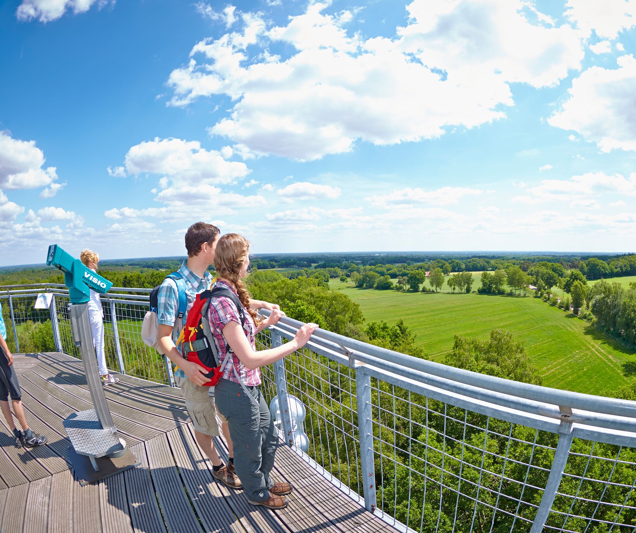
On the trail of gold, bronze and sheep in Grafschaft Bentheim
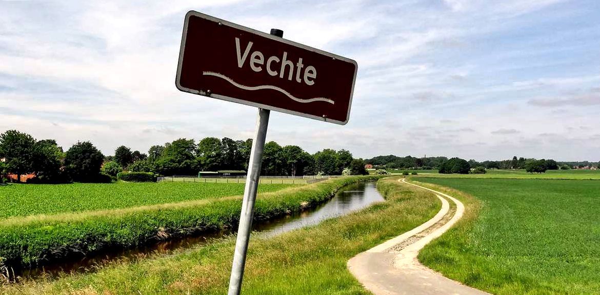
Vechtetal Route – Nature, art & culture in 5 stages
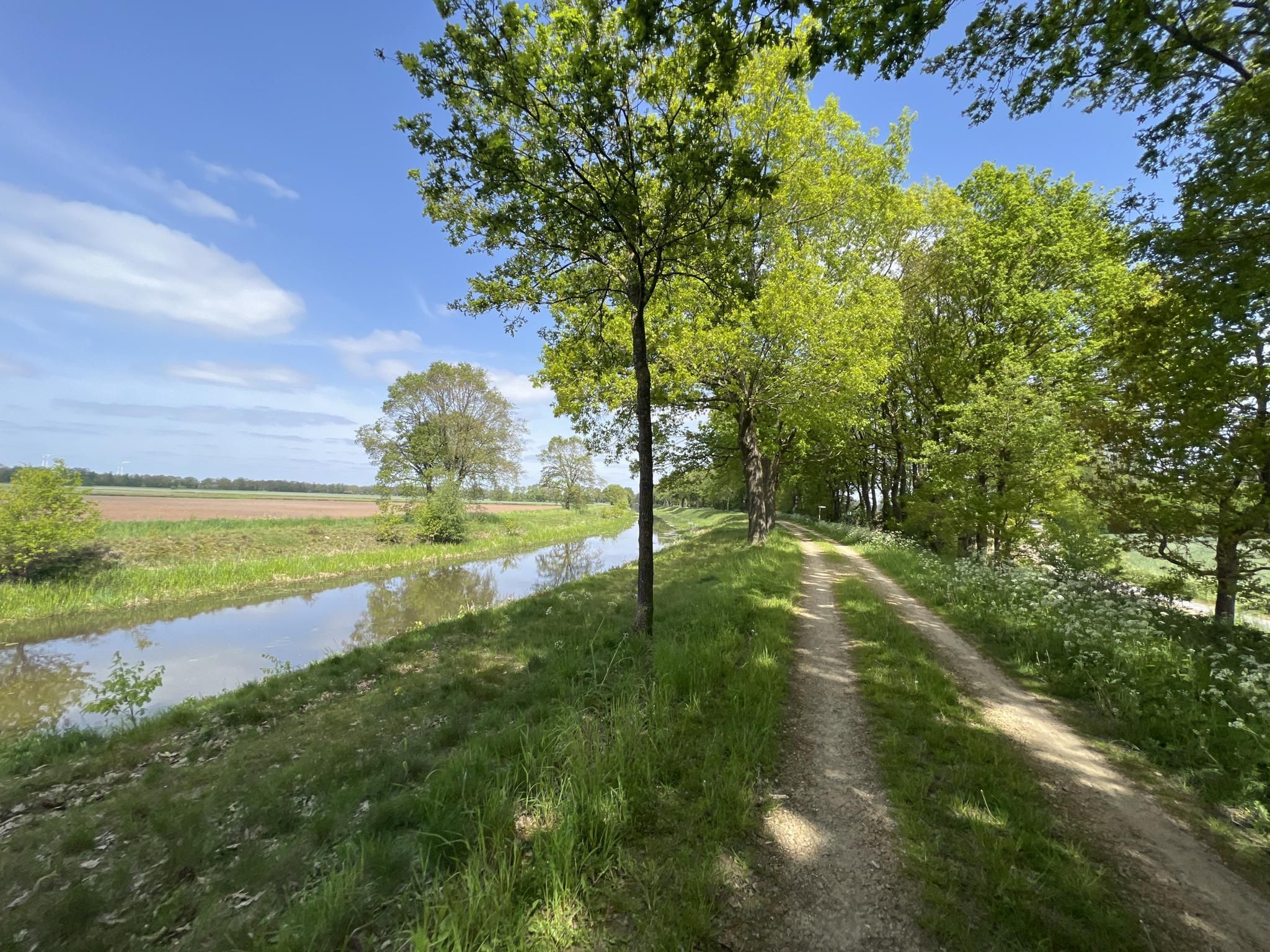
GrenzGravel – on the trails of the Grafschaft and the Netherlands
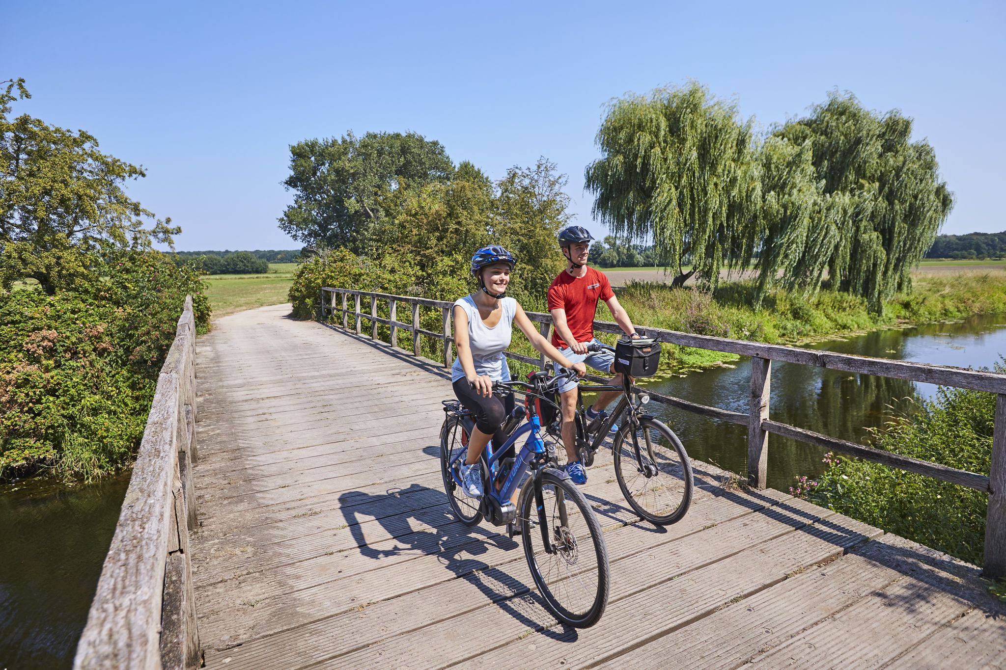
Grafschafter Fietsentour – cycling paradise on the green border
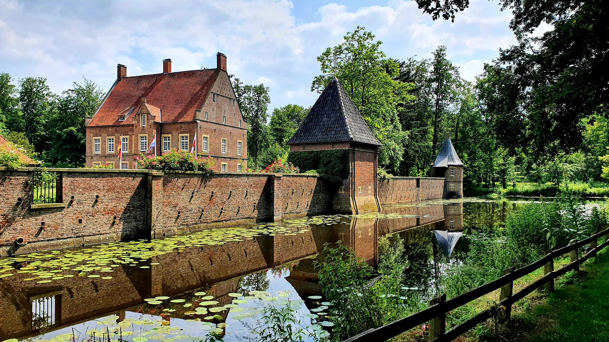
Vecht Valley Route – a cross-border river landscape
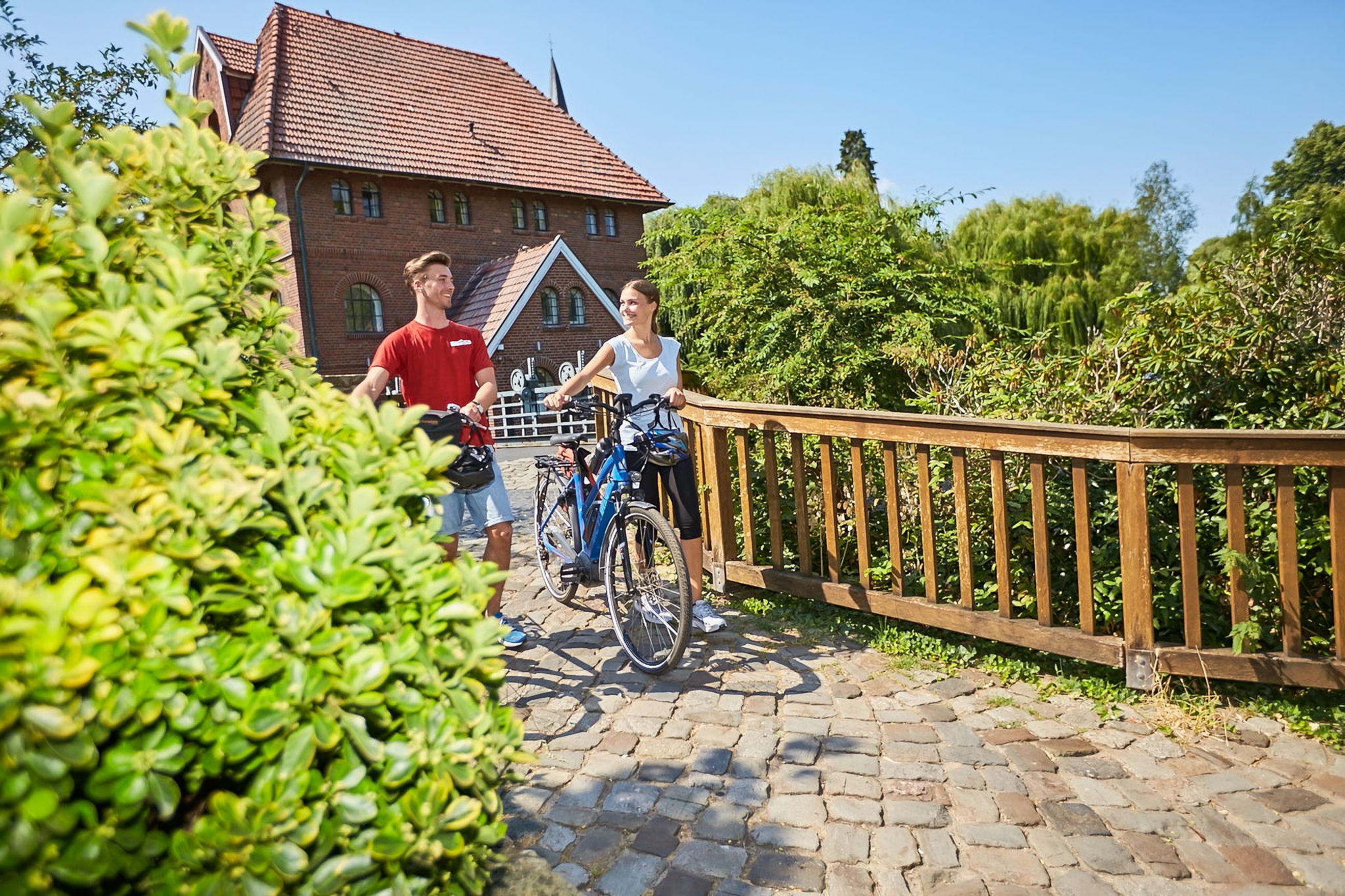
Cycling in the county of Bentheim – pursuit of happiness
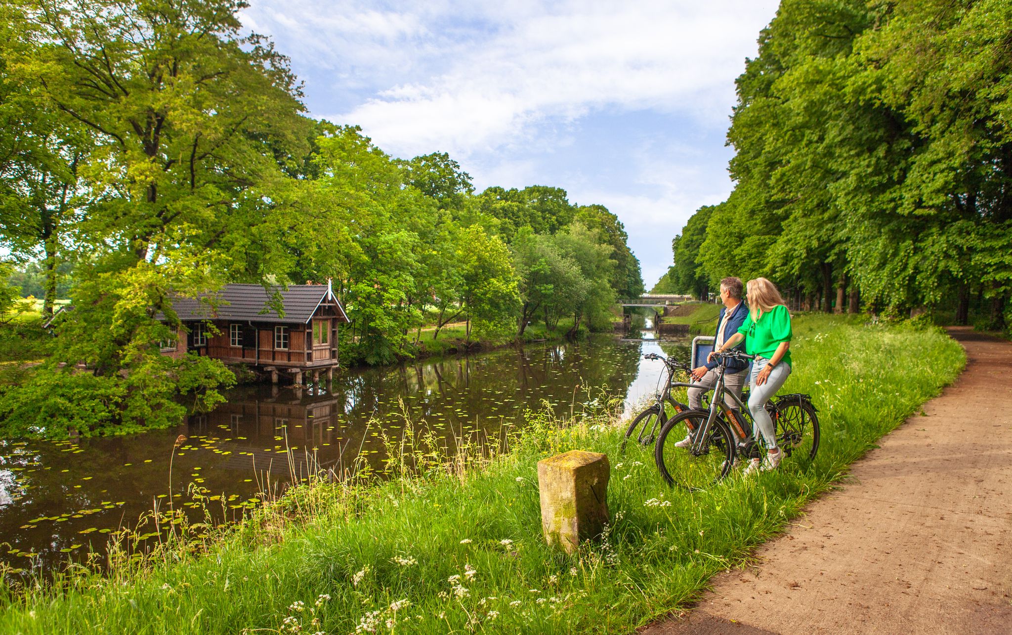
The old canal avenue – cycling along the German–Dutch border
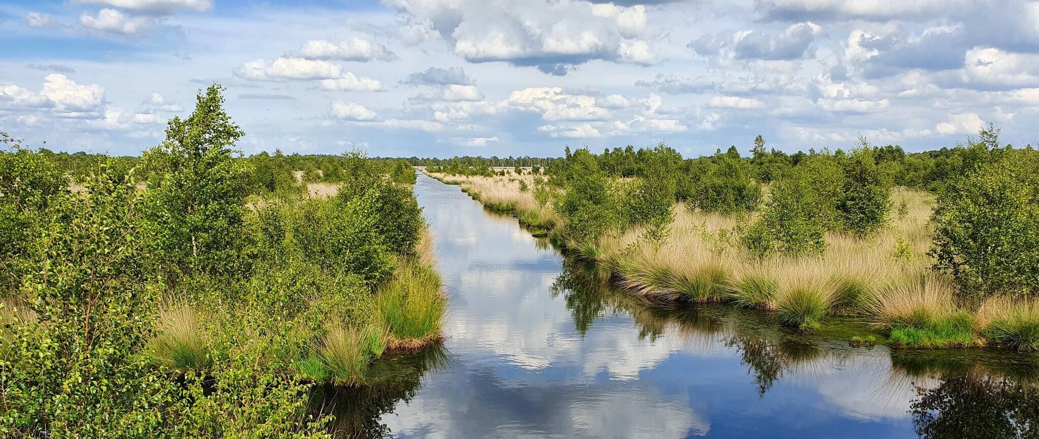
Cycling between moor and peat along the Dutch-German border – Pioneer Route
Cycling without borders — Fietsen in the Grafschaft Bentheim
Cycling around Nordhorn
Other adventures around Nordhorn


Tips from the Community

Water lilies cover the surface of the water.
1
0

Beautiful hike, second part is over cycle paths
0
0

Beautiful resting place right on the route. It doesn't seem to have been around for too long.
0
0

One of the few churches that can be entered outside of mass times. The church is of simple beauty inside.
1
0
A smaller but really lovingly designed animal park. It was a great pleasure to follow the circular path.
0
0

beautiful nature reserve near the German border
0
0

In the Nordhorn city center, with the various facilities in Burgstraße – naturally the church, the rectory with the parish office and administration, the nave, the daycare center, the convent, and the community center – we want to be an open and inviting church that considers the views and needs of the people. After the service on the 1st Sunday of the month, we invite you to church coffee in the nave facility. In the Klausheide district, we have been living ecumenism under the roof of the Michaeliskirche for several years. The coexistence of Christian denominations is characterized by great respect and appreciation.
1
0

small bridge over the Vechte.
3
0
Frequently Asked Questions
What types of landscapes can I expect to see while hiking around Nordhorn?
Nordhorn offers a diverse range of landscapes, from the picturesque Vechtesee and the meandering Vechte River to unique moorlands like Gildehauser Venn and extensive heathlands such as Tillenberge. You'll also find numerous forests and cross-border scenery due to its proximity to the Netherlands.
Are there hiking trails suitable for families with children in Nordhorn?
Yes, Nordhorn has several family-friendly options. Many of the easy routes are suitable for all ages. For example, the On the trail of Nordhorn's textile history route is an easy 4.8-mile (7.7 km) path. The Tierpark Nordhorn also features well-marked paths within its grounds, offering a chance to enjoy nature alongside diverse animal species.
What is the best time of year to go hiking in Nordhorn?
The best seasons for hiking in Nordhorn are spring and autumn. During these times, the weather is mild, and the landscape is particularly vibrant, with blooming meadows and trees in spring, or the rich colors of autumn foliage.
How many hiking trails are available in the Nordhorn region?
There are over 320 hiking routes available around Nordhorn. These range from easy strolls to more challenging excursions, ensuring options for various ability levels.
Are there any circular hiking routes in Nordhorn?
Yes, many routes in Nordhorn are designed as loops. An example is the Bergvennen Heathland – Grenzweg (Border Path) loop, which takes you through beautiful heathland. Another popular option is the Vechte Riverside in Nordhorn – Frenswegen Monastery loop, offering scenic views along the Vechte River.
What are some notable landmarks or attractions I can see along the hiking trails?
Hikers can discover several interesting points. The Vechtesee is a central feature, and you can explore historical sites like Wietmarschen Abbey. For natural beauty, consider visiting the Bentheim Sandstone Cliffs or the Bentheim Cliffs — Old Quarry. The region also features historic watermills like the Lage Watermill on the Dinkel River.
Are there any long-distance hiking opportunities near Nordhorn?
Yes, Nordhorn is part of longer regional trails. The Fabriceurspad is a cross-border route with sections like Nordhorn to Oldenzaal (25 km) or Lingen to Oldenzaal (47 km). Another notable long-distance path is 'On the trail of the Podagristen,' a 23.3 km route from Bad Bentheim to Nordhorn.
What do other hikers say about the trails in Nordhorn?
The routes in Nordhorn are highly rated by the komoot community, with an average score of 4.5 stars from over 800 reviews. Hikers often praise the varied terrain, from river valleys to unique moorland and heathland areas, and the well-maintained paths.
Are there any challenging hiking routes in the Nordhorn area?
While many routes are easy to moderate, there are some more challenging options for experienced hikers. Out of over 320 tours, 13 are classified as difficult, offering more strenuous excursions through the diverse landscapes.
Can I find trails that offer views or unique natural features?
Absolutely. The region is rich in natural features. You can explore the unique moorland of Gildehauser Venn, the heath landscapes of Tillenberge, or enjoy scenic views along the Vechte River. The Vechte Weir Nordhorn-Brandlecht loop, for instance, offers pleasant riverside scenery.
Is it possible to reach hiking trails using public transport in Nordhorn?
Nordhorn's central location and regional transport connections make it possible to access various starting points for hikes. While specific routes may require a short walk from a bus stop, many trails are accessible from or near the city center, which is well-served by public transport.
Most popular routes around Nordhorn
Most popular attractions around Nordhorn

Get inspired with the komoot mobile app


Explore more
Browse the best Hikes in other regions.
