The best walks and hikes around Nordheim vor der Rhön
4.6
(7232)
27,167
hikers
53
hikes
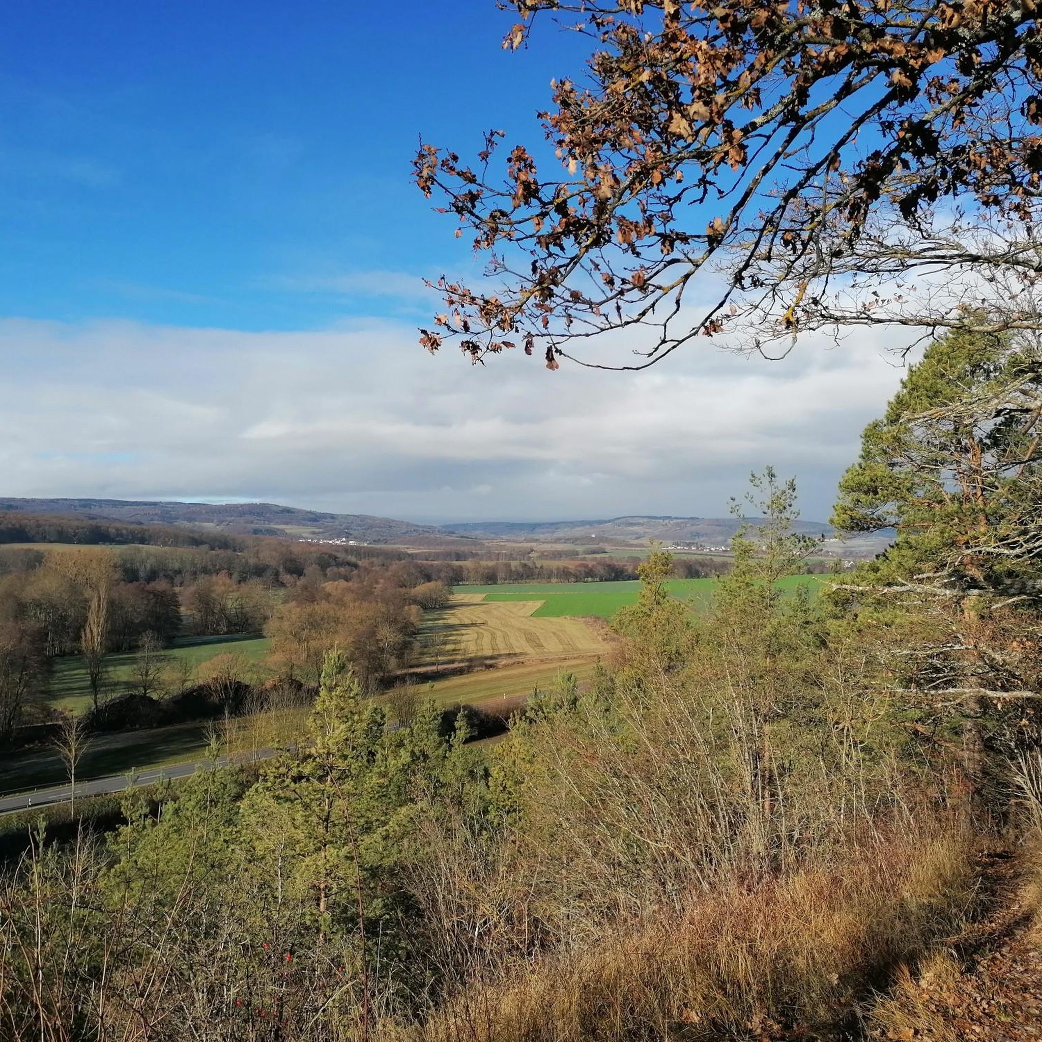
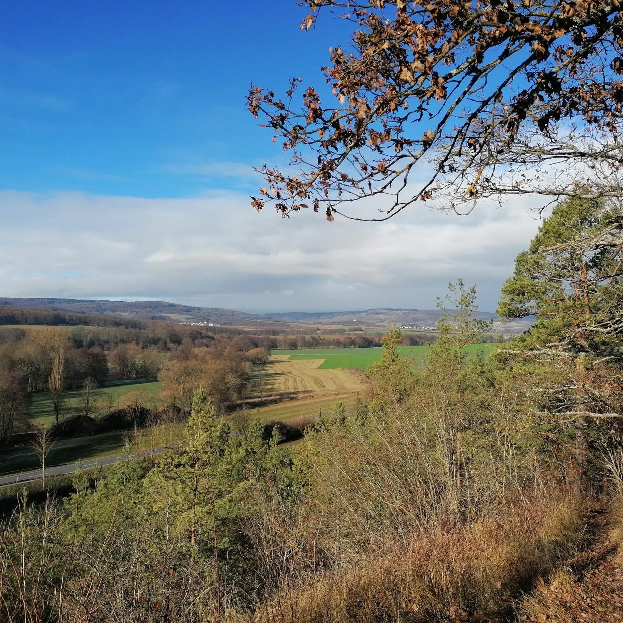
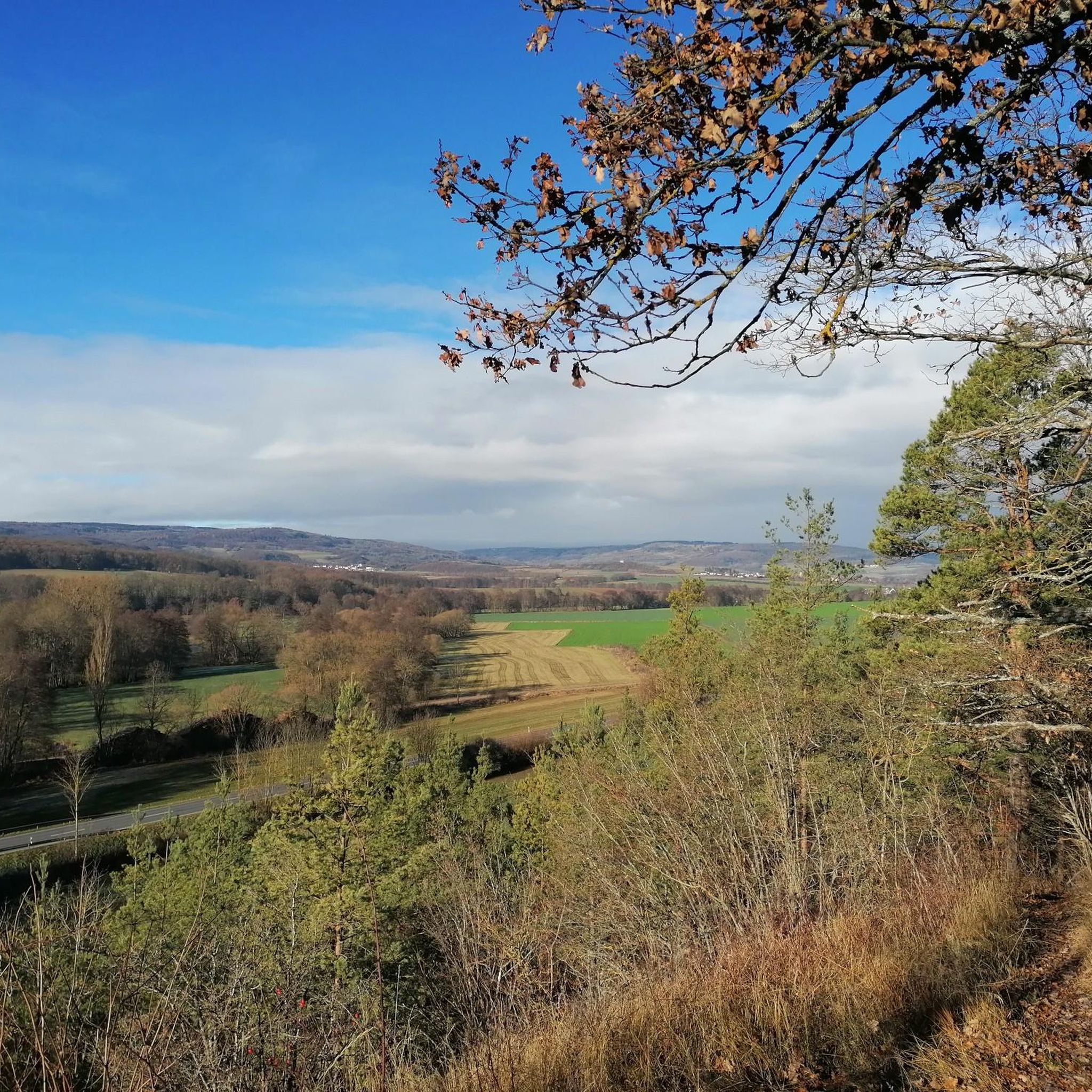
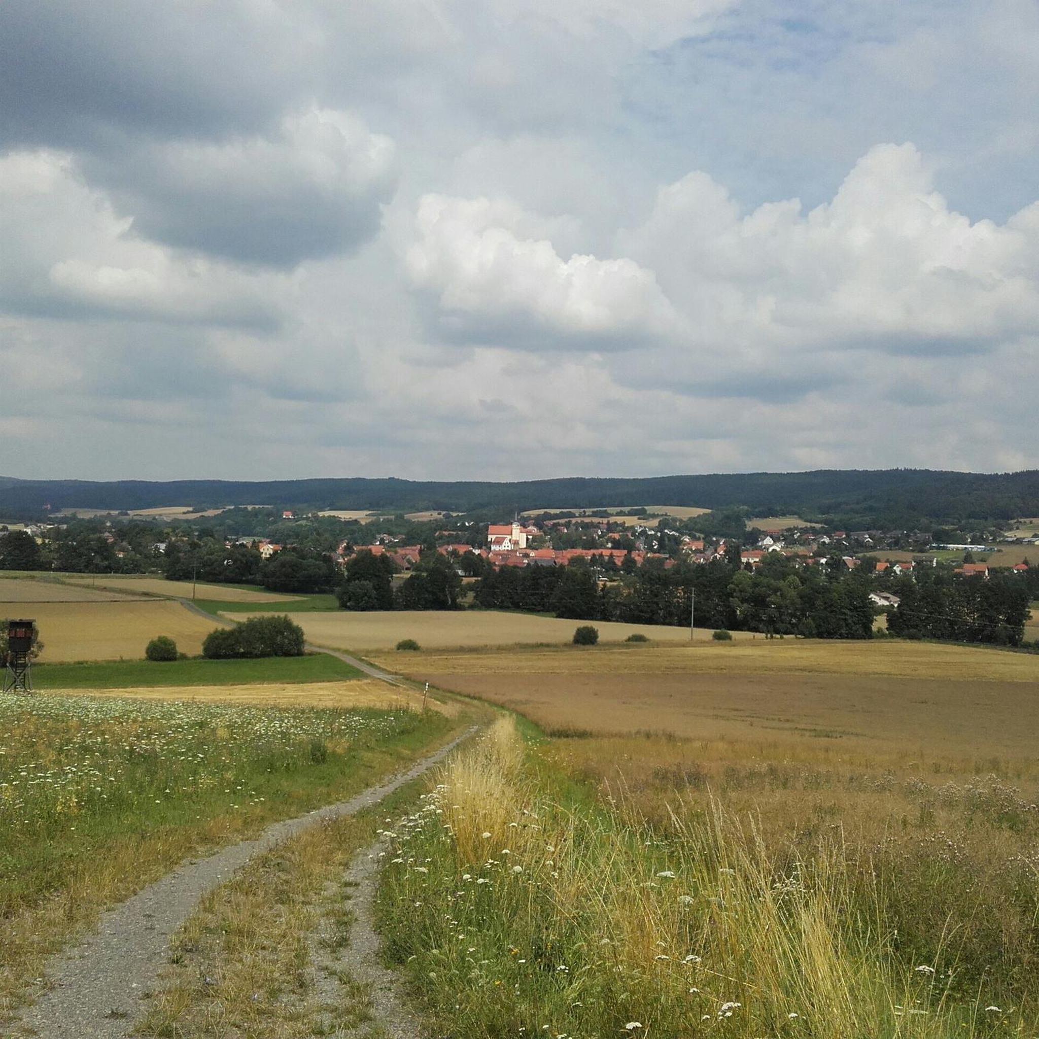
Hiking around Nordheim vor der Rhön provides access to diverse landscapes within the UNESCO Biosphere Reserve Rhön. The region is characterized by rolling hills, dense forests, and expansive open plateaus, offering varied terrain for outdoor activities. The area features volcanic landscapes, meadows, and the Streu stream, contributing to its natural beauty.
Best hiking trails in Nordheim vor der Rhön
- The most popular hiking route is Lichtenburg Castle – Weyhershauk Summit Cross loop from Willmars, an 8.4 miles (13.5 km)…
Last updated: July 1, 2026
4.7
(10)
45
hikers
Easy hike. Great for any fitness level. Easily-accessible paths. Suitable for all skill levels.
4.9
(16)
41
hikers
Moderate hike. Good fitness required. Easily-accessible paths. Suitable for all skill levels.

Sign up for free
5.0
(18)
23
hikers
Moderate hike. Good fitness required. Easily-accessible paths. Suitable for all skill levels.
4.3
(3)
23
hikers
Moderate hike. Good fitness required. Easily-accessible paths. Suitable for all skill levels.
5.0
(3)
12
hikers
Moderate hike. Good fitness required. Easily-accessible paths. Suitable for all skill levels.
Get access to more routes and recommendations from other explorers.
Sign up for free
Already have an account?
Our route recommendations are based on thousands of hikes, rides, and runs completed by other people on komoot.
Start today with a free account
Your next adventure awaits.
Login or Signup
Tips from the Community

The train station is privately owned. But lovingly restored!
0
0

The Süsselbach is beaver country
0
0

wayside shrine from "1660" on the Streu
0
0
Information im Internet: https://www.google.com/search?client=firefox-b-d&q=DenkOrtDeportation+1941-1944+nordheim&sei=ZB_yaPO8PLqci-gPm9nCsAw
0
0
The old elementary school was built with Marshall Plan funds in the early 1950s. Today, it houses a special needs school. The name derives from the then district administrator and former mayor of Ostheim vor der Rhön, Dr. Alfred Hauser.
0
0
Frequently Asked Questions
How many hiking trails are available around Nordheim vor der Rhön?
Nordheim vor der Rhön offers a wide selection of hiking opportunities, with over 50 marked trails. These routes traverse diverse landscapes, from rolling hills and dense forests to open plateaus within the UNESCO Biosphere Reserve Rhön.
What makes hiking in Nordheim vor der Rhön unique?
The region is celebrated as the 'Land of Open Vistas' due to its broad, open plateaus and diverse volcanic landscapes. Hikers can experience a scenic backdrop of rolling hills, dense forests, and expansive fields, all part of the UNESCO Biosphere Reserve Rhön. The area's natural beauty is particularly striking in autumn when the foliage transforms into vibrant colors.
What is the best time of year to go hiking in Nordheim vor der Rhön?
The Rhön region is beautiful year-round, but autumn is particularly recommended for its vibrant foliage. Spring and summer offer lush greenery and pleasant temperatures for exploring. Even in winter, the snow-covered forests transform into cross-country skiing trails, indicating the area's suitability for outdoor activities, though hiking conditions may vary.
Are there hiking trails for all skill levels in Nordheim vor der Rhön?
Yes, the area caters to all levels of hikers. There are 28 easy routes and 28 moderate routes available, ensuring options for gentle strolls as well as more demanding ascents. You won't find any difficult trails directly in this guide, but the broader Rhön region offers challenging tours like those to the summit of the Kreuzberg.
Are there family-friendly hiking routes in Nordheim vor der Rhön?
Many of the easy trails are suitable for families. For instance, the Bridge over the Streu River – Beaver Dam on the Süsselbach loop from Nordheim vor der Rhön is an easy 4.5-mile (7.2 km) path that follows the Streu River and passes a beaver dam, offering a gentle walk through natural surroundings that children often enjoy.
Can I bring my dog on the hiking trails in Nordheim vor der Rhön?
Generally, dogs are welcome on hiking trails in the Rhön region. However, it's always advisable to keep them on a leash, especially in nature reserves or near livestock, and to respect local regulations. Ensure you carry water for your dog and clean up after them.
Are there many circular hiking routes available?
Yes, Nordheim vor der Rhön offers numerous circular hiking routes. Many trails are designed as loops, allowing you to start and end at the same point. An example is the Lichtenburg Castle – Weyhershauk Summit Cross loop from Willmars, which is a moderate 8.4-mile (13.5 km) trail offering steady climbs and views.
What natural attractions can I discover while hiking in the area?
The region boasts several natural highlights. You can explore the unique Schwarzes Moor Nature Trail, visit the picturesque Eisgraben Waterfall, or walk along the Boardwalk Through the Black Moor. The Basalt Prism Wall at Gangolfsberg is another geological marvel worth seeing.
Are there any historical or cultural sights to see on the trails?
Beyond natural beauty, the area offers cultural insights. The village of Nordheim vor der Rhön itself features well-preserved half-timbered houses, the 18th-century St. Laurentius church, and a local history museum. Hiking routes like the Schloss Neustädtles – Neustädtles Pond loop from Willmars lead through historic castle ruins, adding a historical dimension to your walk.
Where can I find parking for hiking trails in Nordheim vor der Rhön?
Many trailheads around Nordheim vor der Rhön offer designated parking areas. Specific parking information is often available on the individual route pages on komoot. It's generally advisable to check the route details before you go, especially for popular starting points.
Are there options for refreshments or places to eat along the hiking routes?
While specific cafes or restaurants directly on every trail are not guaranteed, the villages within the Rhön region, including Nordheim vor der Rhön itself, offer various options for refreshments, cafes, and restaurants. It's a good idea to plan your route to pass through a village or carry snacks and drinks, especially on longer hikes.
What do other hikers enjoy most about hiking in Nordheim vor der Rhön?
The area is highly rated by the komoot community, with an average score of 4.8 stars from over 1,500 reviews. Hikers often praise the diverse landscapes, from rolling hills to open plateaus, and the well-maintained network of trails that cater to various fitness levels. The scenic beauty and tranquility of the UNESCO Biosphere Reserve are frequently highlighted.
Most popular routes around Nordheim vor der Rhön
Most popular attractions around Nordheim vor der Rhön

Get inspired with the komoot mobile app


Explore more
Browse the best Hikes in other regions.
