Attractions and Places To See around Thülsfelder Talsperre - Top 20
Best attractions and places to see around Thülsfelder Talsperre are centered on its reservoir, a nature reserve established in 1938. This artificial lake, created between 1924 and 1927, features small islands and vegetation, resembling a natural body of water. The area offers a network of paths for hiking and cycling, traversing forests, heathlands, and sand dunes. It provides opportunities for outdoor recreation and nature observation.
Best attractions and places to see around Thülsfelder Talsperre
- The most popular attractions is Thülsfeld…
Last updated: July 6, 2026
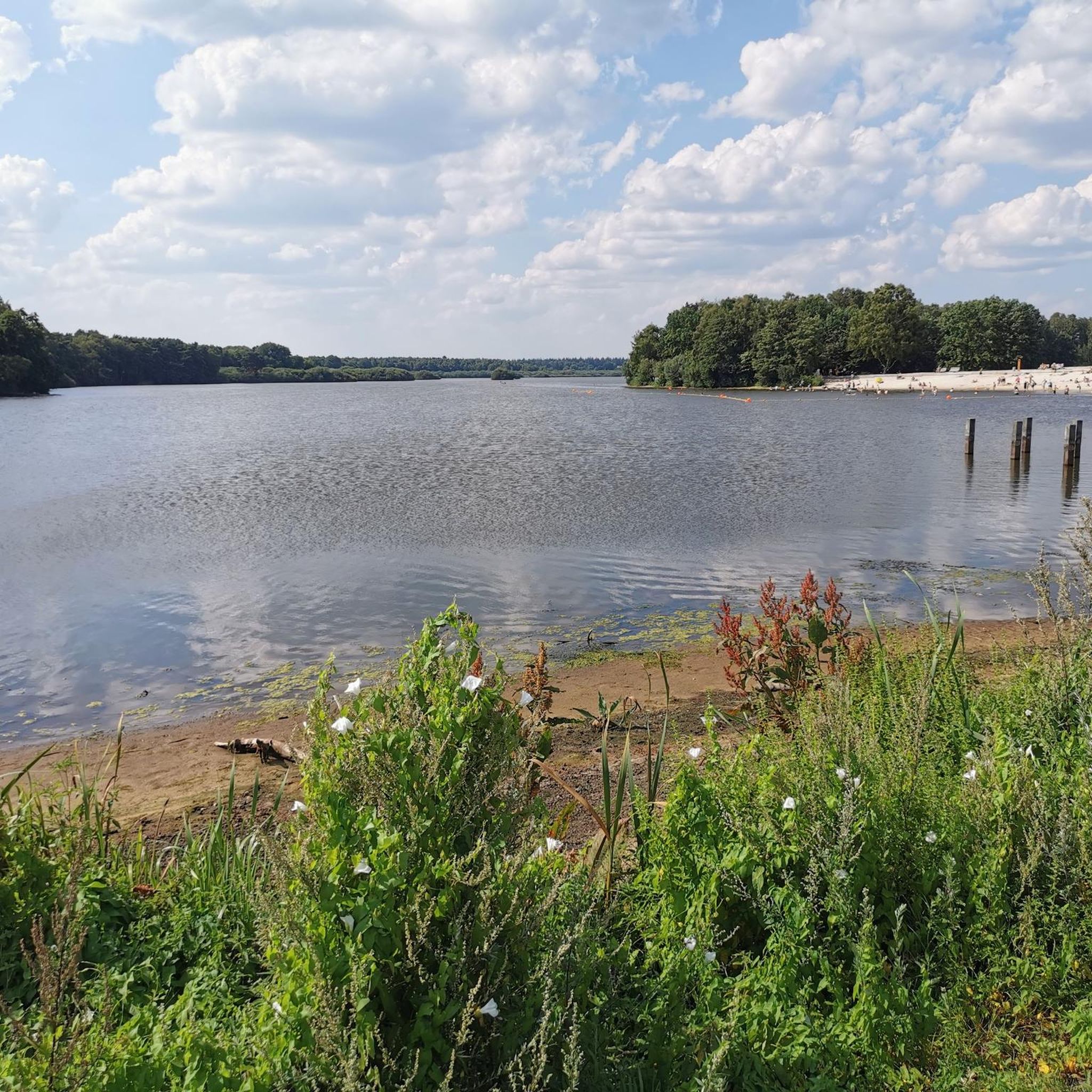
Beach at the Thülsfelder Reservoir
Highlight • Beach
Translated by Google •
Tip by

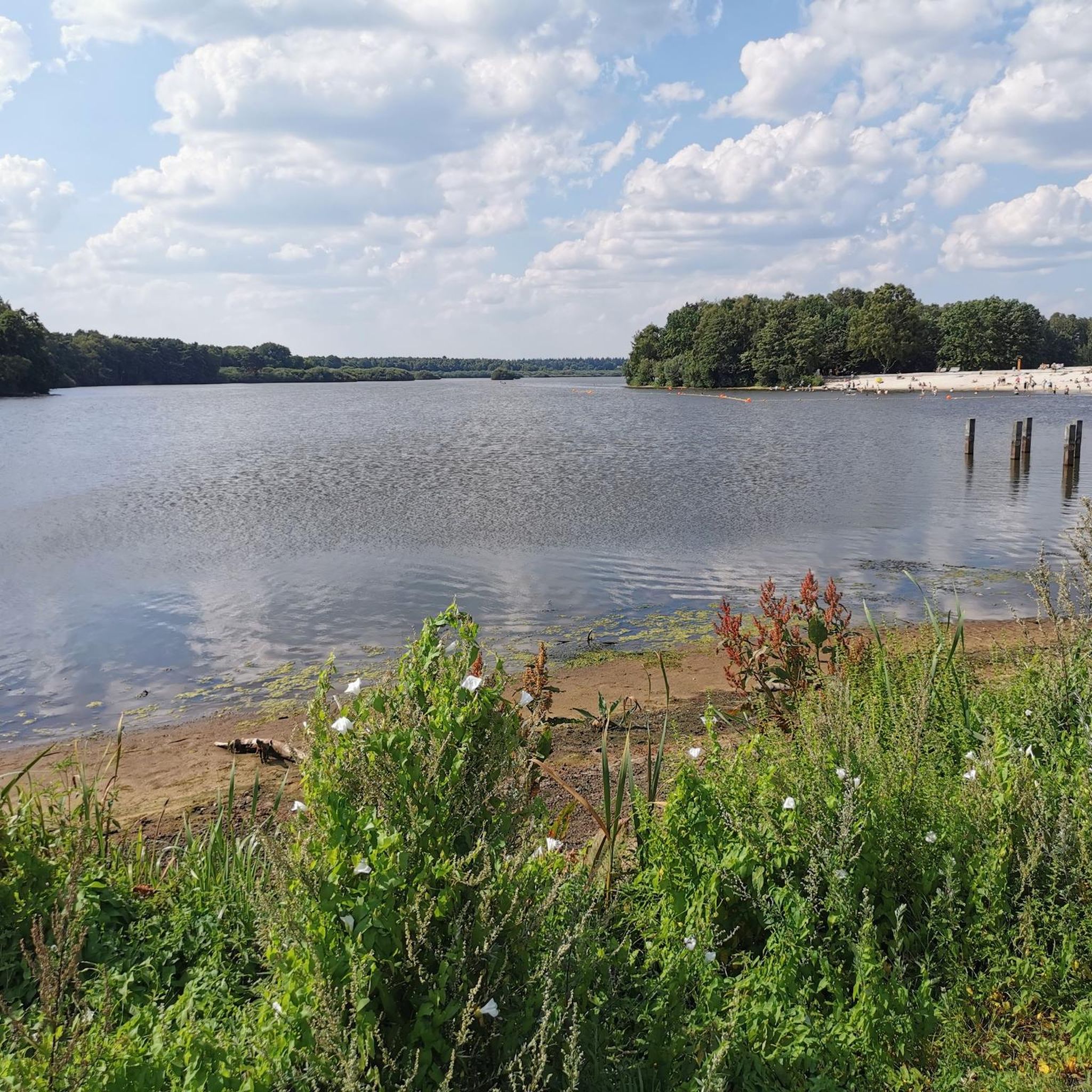
Thülsfelder Reservoir North Shore and Spillway
Highlight • Lake
Translated by Google •
Tip by

Sign up now to discover places like this
Get recommendations on the best single tracks, peaks, & plenty of other exciting outdoor places.
Sign up for free
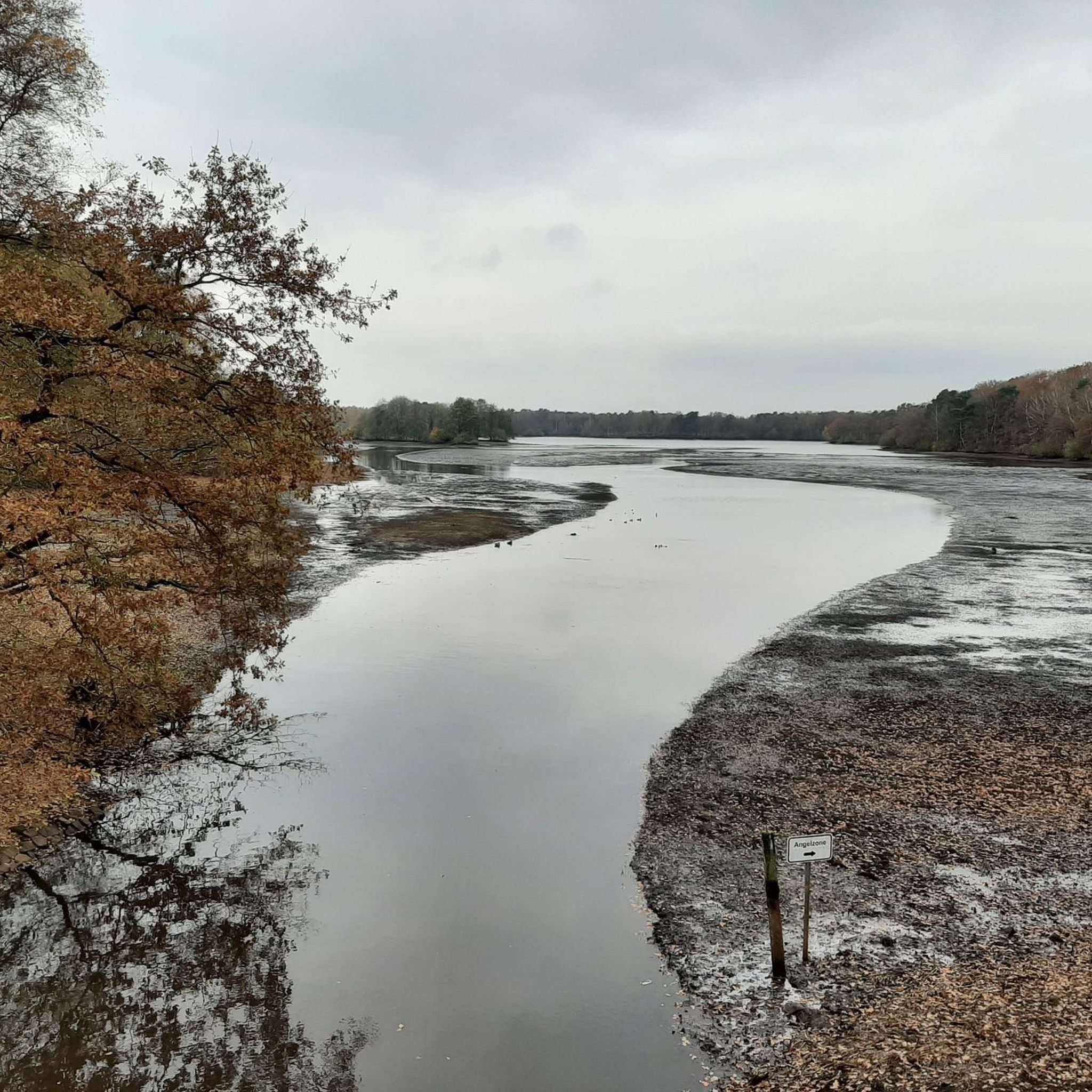
Thülsfeld Dam – Three Bridges Trail
Highlight • Lake
Translated by Google •
Tip by

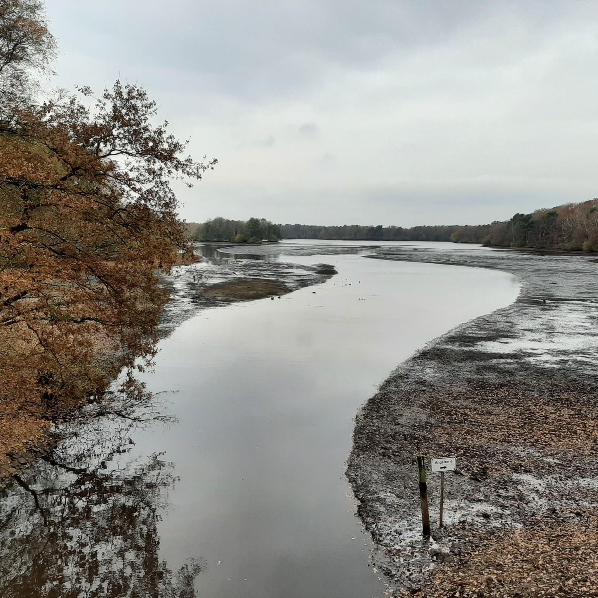
Thülsfelder Reservoir — Northeast Shore
Highlight • Lake
Translated by Google •
Tip by

Heathland at the Thülsfeld Reservoir
Highlight (Segment) • Natural
Translated by Google •
Tip by

Sign up for free to discover even more attractions around Thülsfelder Talsperre.
Sign up for free
Already have an account?
Start today with a free account
Your next adventure awaits.
Login or Signup

Tips from the Community

Local recreation area with great cycling and hiking trails and nice places to take a break.
6
0
Beautiful dam with great hiking and cycling trails
6
0

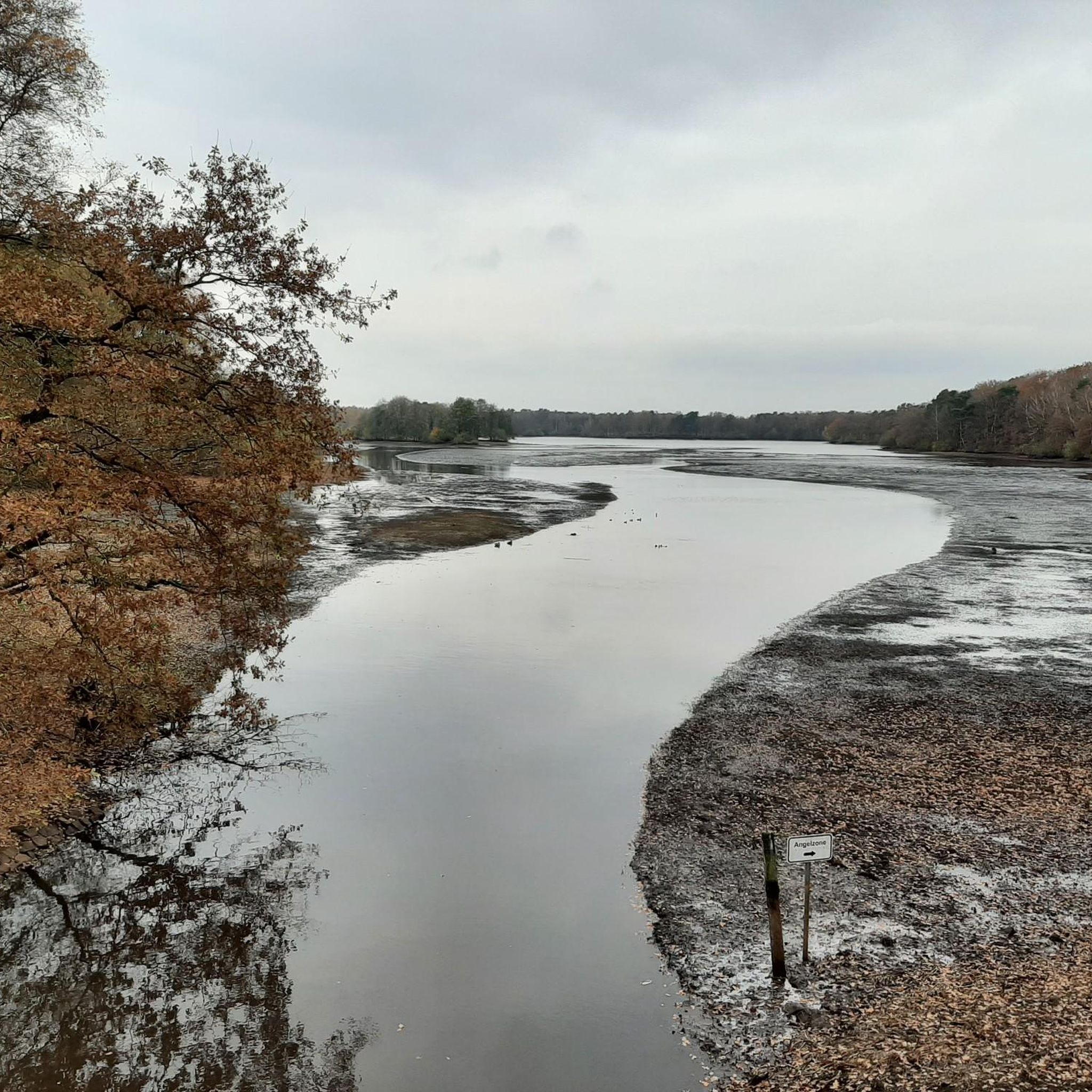
A small river becomes a nature conservation paradise The Thülsfeld Dam is a reservoir that was completed in 1927 and was created to regulate the water level of the Soeste River. During heavy rainfall, the meadows and fields in the region around Friesoythe often flooded, so the river was dammed by a 3-kilometer-wide dam in the area of a valley cut. Today the Thülsfeld Dam is a beautiful nature reserve with a water area of 170 hectares and can be easily circumnavigated on well-developed hiking trails. You hike through extensive forests, heath areas and sand dunes, cross wooden bridges and marvel at the lagoons, reed belts and swamp areas on the west bank. The path around the Thülsfelder Dam is about 10 kilometers long and you can start your exploration on foot or by bike from several free park areas.
11
1
The Thülsfelder Dam is a reservoir between Cloppenburg and Friesoythe in the Oldenburger Münsterland. It borders the communities of Friesoythe, Garrel and Molbergen and was built between 1924 and 1927 to protect the banks of the Soeste from flooding. With a storage capacity of 10.8 million cubic meters, it is one of the “large dams” and is, after the Brohm Dam, the northernmost reservoir in Germany.
9
0

A very nice destination. It's worth checking out again and again
10
0
Relaxed cycling along the dam dike
6
0

The sandy landscape with the heath is simply breathtaking.
2
0

Drive wonderfully without the flow of tourists.
7
0
Frequently Asked Questions
What types of hiking and cycling trails can I find around Thülsfelder Talsperre?
The Thülsfelder Talsperre area offers an extensive network of paths, approximately 10 kilometers long, that circle the entire reservoir. These trails are suitable for both walking and cycling, leading through diverse landscapes including forests, heathlands, and sand dunes. You'll encounter wooden bridges, lagoons, reed belts, and swamp areas, particularly on the western bank. For more detailed routes, you can explore hiking routes or road cycling routes in the region.
How long is the main circular trail around the Thülsfelder Talsperre reservoir?
The main circular trail that encompasses the entire reservoir is approximately 10 kilometers long. It's a well-developed path suitable for both walking and cycling, offering continuous scenic views.
Are there family-friendly attractions or activities around Thülsfelder Talsperre?
Yes, the region is very family-friendly. Besides the natural trails, you can visit the Thülsfeld Dam – Three Bridges Trail which is popular with families. Other attractions include the Kletterwald Nord (Northern Climbing Forest) for adventure, the Abenteuerspielplatz Reservistenfort (Reservist Fort Adventure Playground), and the nearby Tier- und Freizeitpark Thüle (Thüle Animal and Leisure Park).
Where are the best viewpoints to enjoy the Thülsfelder Talsperre?
You can find excellent views from designated viewing platforms, such as the Viewing platform at the Thülsfelder Reservoir. The Hotel-Restaurant "Seeblick" near the outlet structure also offers picturesque views. Additionally, the View of the Talsperre from the southern end provides a beautiful perspective, often compared to a natural lake.
What natural features can I explore around the Thülsfelder Talsperre?
The Thülsfelder Talsperre is a significant nature reserve. You can explore the reservoir itself, which features small islands and lush vegetation, serving as a habitat for endangered species. The surrounding trails lead through extensive forests, heathlands, and sand dunes. The Dwergter Sand area also offers a circular route through its forest and heath landscape for further nature exploration. The Thülsfelder Reservoir North Shore and Spillway is a natural monument worth visiting.
Are there designated areas for swimming at Thülsfelder Talsperre?
While water sports like boating and stand-up paddling are generally restricted due to nature conservation, there are designated areas for swimming and enjoying the calm waters. The Beach at the Thülsfelder Reservoir is a popular spot for this.
What cultural or historical sites are located near Thülsfelder Talsperre?
For a glimpse into the region's history and traditions, you can visit the Museumsdorf Cloppenburg (Cloppenburg Museum Village). This open-air museum showcases historical buildings and cultural practices, offering a rich historical experience beyond the natural attractions.
What is the best season to visit Thülsfelder Talsperre?
The Thülsfelder Talsperre is beautiful year-round, with nature constantly changing. Many visitors enjoy the area in both summer and winter. The diverse landscapes, including forests and heathlands, make it particularly appealing for hiking in autumn when the foliage changes. The well-maintained routes are suitable for exploration in various seasons.
Are there easy hiking routes suitable for all fitness levels?
Yes, there are several easy hiking routes around Thülsfelder Talsperre. For example, the 'Heathland Landscape – View of the Heathland loop from Cloppenburg district' is an easy 7.4 km route. Other easy options include the 'Wild Trail Along the Soeste – Natural Forest Path loop' and the 'Beach at the Thülsfelder Reservoir – Forest Wetland loop'. You can find more easy routes in the Easy hikes around Thülsfelder Talsperre guide.
Are there dining options or cafes near the reservoir?
Yes, there are dining options available. The Hotel-Restaurant "Seeblick" is conveniently located near the outlet structure and offers a place for a coffee break or a meal with a view of the lake. Additionally, numerous idyllic picnic spots are available along the reservoir's banks for a relaxed outdoor experience.
Is parking available for visitors at Thülsfelder Talsperre?
Yes, parking is available at various points around the Thülsfelder Talsperre, making it convenient for hikers and cyclists to access the trails and attractions. Specific parking areas are usually signposted near popular access points.
What do visitors enjoy most about the Thülsfelder Talsperre?
Visitors frequently praise the natural beauty and tranquility of the area, often noting how the reservoir resembles a natural lake despite being man-made. The well-developed cycle and hiking trails, like the Thülsfeld Dam – Three Bridges Trail, are highly appreciated for their diverse scenery and opportunities for breaks. The peaceful atmosphere and opportunities for nature observation, including bird life, are also commonly highlighted.
Most popular routes around Thülsfelder Talsperre
Most popular attractions around Thülsfelder Talsperre

Get inspired with the komoot mobile app


Explore more
Still not found the Highlight you’re looking for? See guides of the top attractions in other regions:
