The best road cycling routes around Nitz
4.7
(68)
2,309
riders
125
rides
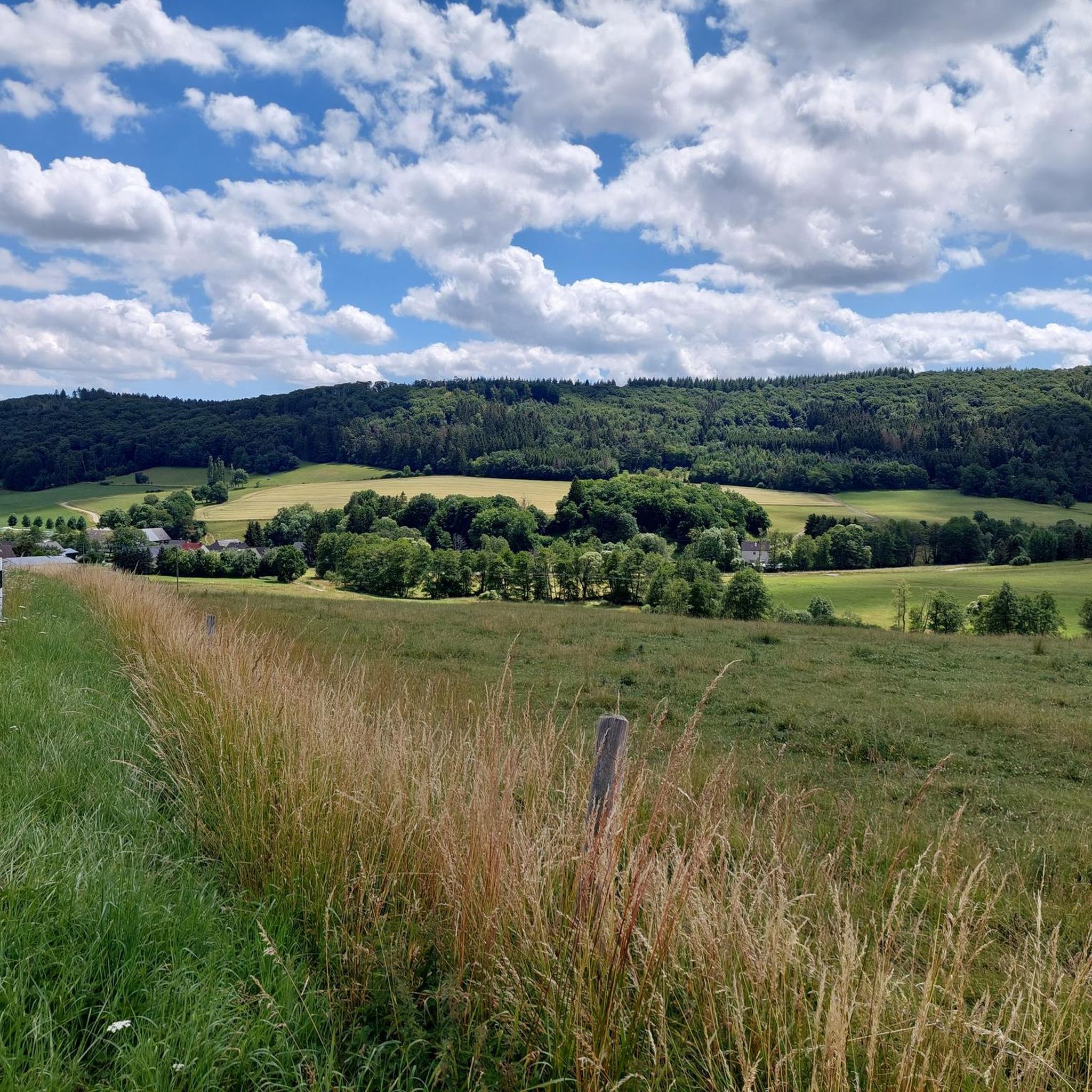
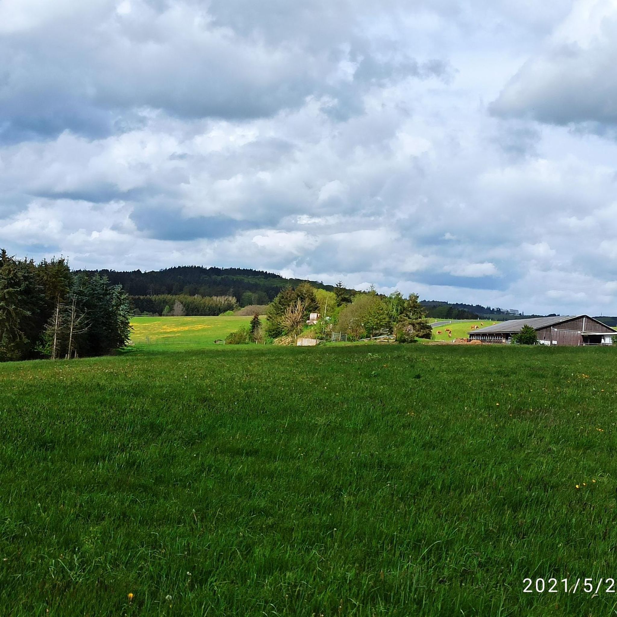
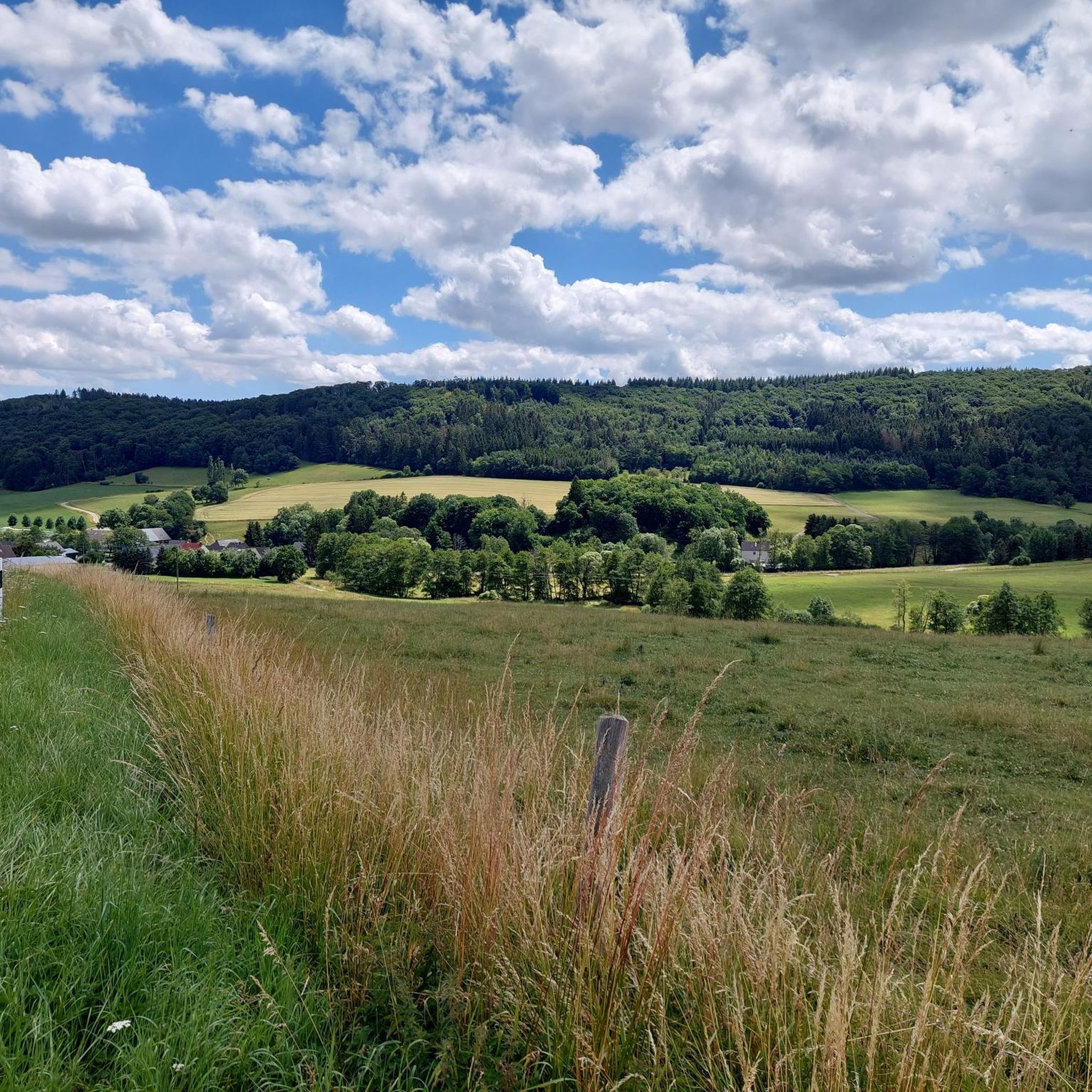
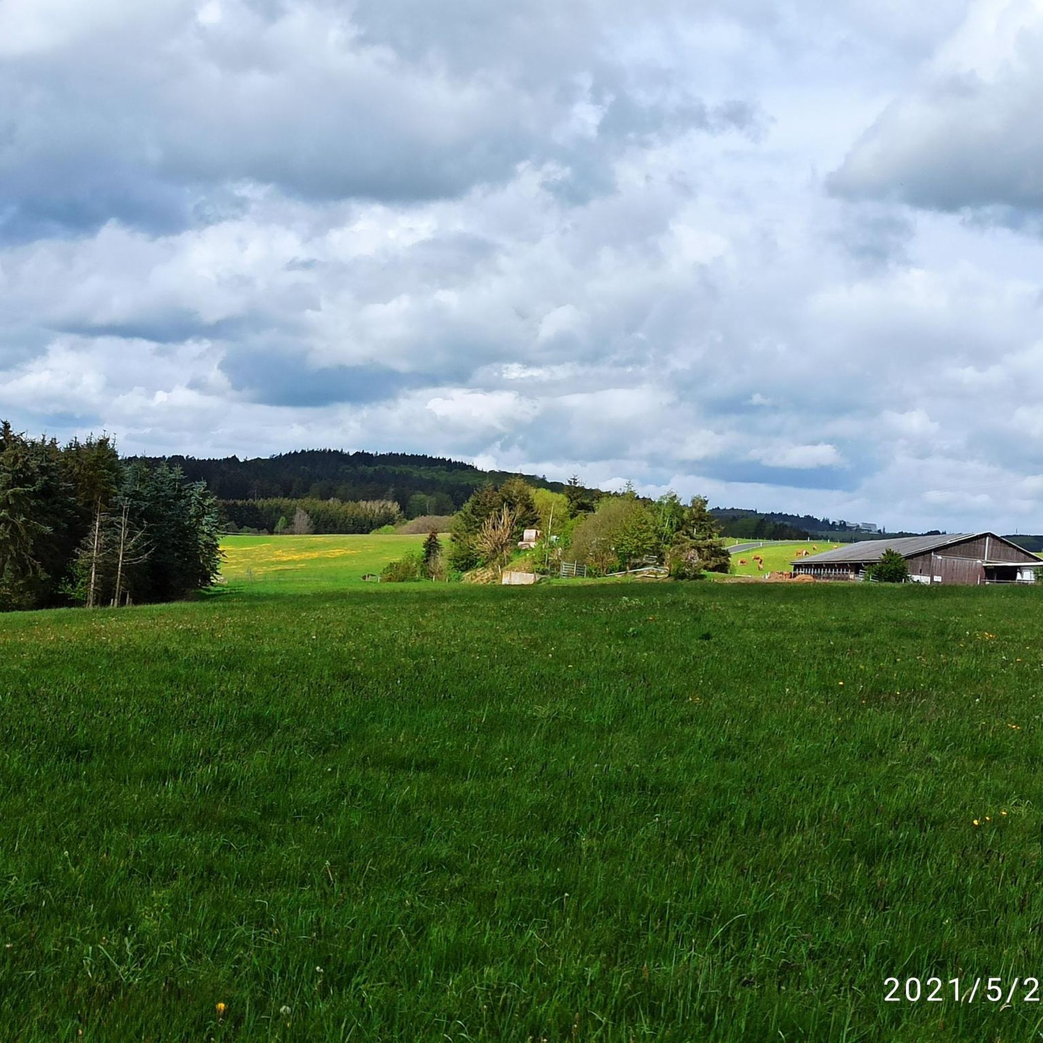
Road cycling around Nitz, located in the Eifel region of Rhineland-Palatinate, offers diverse terrain for cyclists. The area features rolling hills and volcanic landscapes, characteristic of the Vulkaneifel. Road cycling routes near Nitz often traverse through forested areas and open countryside, providing varied elevation profiles. This region is well-suited for cyclists seeking both moderate and challenging rides.
Best road cycling routes around Nitz
- The most popular road cycling route is Virneburg Castle Ruins – Genovevaburg Mayen loop from Drees,…
Last updated: July 1, 2026
4.5
(2)
52
riders
53.3km
02:43
880m
880m
Moderate road ride. Good fitness required. Some segments of this route may be unpaved and difficult to ride.
11
riders
74.8km
03:34
1,040m
1,040m
Hard road ride. Very good fitness required. Mostly well-paved surfaces and easy to ride.

Sign up for free
11
riders
24.7km
01:20
500m
500m
Moderate road ride. Good fitness required. Mostly well-paved surfaces and easy to ride.
7
riders
62.2km
03:17
1,110m
1,110m
Hard road ride. Very good fitness required. Some segments of this route may be unpaved and difficult to ride.
6
riders
61.2km
03:01
970m
970m
Hard road ride. Very good fitness required. Mostly well-paved surfaces and easy to ride.
Get access to more routes and recommendations from other explorers.
Sign up for free
Already have an account?
Our route recommendations are based on thousands of hikes, rides, and runs completed by other people on komoot.
Start today with a free account
Your next adventure awaits.
Login or Signup
Tips from the Community

Great destination for families with children, it's worth it👍🏽👌🏽
1
0

The Ulmen Maar lies 420 meters above sea level today, covers an area of 5.5 hectares, and is 36 meters deep. The bubbles at the maar's edge demonstrate that volcanism is still active. They bear witness to a turbulent past—but rest assured, there's no eruption in sight! A wall of various rocks and ash, up to 20 meters thick, surrounds the cone. For those interested, these testimonies to this explosive past are beautifully displayed in St. Matthias Church. This unique wall, with its different colored layers and rounded inclusions, is worth seeing for more than just geologists. The slopes of the maar basin are covered with a beautiful forest, which can be explored on a circular walk. A detour to the medieval castle ruins, from which the Crusaders once launched their campaigns, is recommended. The view from the crater rim over the maar and the Eifel beyond will take your breath away. Whether after a sweaty hike or a long drive, the blue of the Ulmer Eifel lake is all too tempting in summer. However, bathing in the maar is prohibited because it is designated as a nature and water protection area.
6
0
The lower castle has completely disappeared. You can still see the beginning of the ring that connected the lower castle and the Ulmen city wall, a two-story outer wall of the palace, as well as a cistern and some foundation walls of other buildings. The old part of Ulmen Castle was built around 1074 AD and likely rests on the remains of a Roman settlement. In the Middle Ages, Ulmen Castle was further expanded and divided into the upper castle, whose remains of the walls still exist, and the lower castle, which extended to the banks of the maar river. Two knightly families lived in the castle, which is believed to have never been attacked or destroyed until 1673 due to its size. Only the Sun King's troops succeeded. It was rebuilt, but fell again in 1689 during the War of the Succession. However, Ulmen Castle was also rebuilt this time, with only the city wall being abandoned. With the invasion of Napoleon's soldiers, Ulmen also became French and later Prussian. The empty castle, whose last descendant died in 1801, was auctioned to a merchant from Cochem, who sold it as a quarry. When a devastating fire burned Ulmen to the ground in the 19th century, the residents of Ulmen rebuilt their houses with stones from the castle. That's why you can still see a coat of arms on some of the stables today. It wasn't until the early twentieth century that Ulmen Castle was declared a listed building and became the property of the municipality of Ulmen. The castle is always freely accessible.
7
0

Two aluminum on the traffic island😂
0
0

The late Gothic castle was besieged, destroyed, and rebuilt several times over the course of its eventful history. The current complex consists of the upper castle with the 34-meter-high Golo Tower and the slightly lower outer castle. The castle is protected from the city by a large castle gate, and on the other side by the keep and a moat complex. The former moat is now a ring road spanned by a 20-meter-long Gothic stone bridge. The Genovevaburg Castle houses two exhibitions of the Eifel Museum: EifelTotal and the German Slate Mine.
10
0
The Holy Spirit Chapel is a former hospital chapel that was part of a hospital in the Middle Ages. Foundations discovered in 1935 suggest that a chapel connected to the then hospital already stood here earlier. According to tradition, the chapel was looked after around 1380 by a priest and a chaplain who received a house near the hospital from the estate of a Pastor Wienand. Since 1592, the chapel has belonged to the Clemensstift.
9
1

good bakery
0
0

The fountain "Maarspautzer" is located at the Ulmener Maar and is impressive to look at.
3
0
Frequently Asked Questions
How many road cycling routes are available around Nitz?
The Nitz area offers a wide variety of road cycling routes, with over 120 different tours available. These routes cater to various skill levels, from easy to difficult, allowing every cyclist to find a suitable option.
What kind of terrain can I expect when road cycling in the Nitz area?
Road cycling around Nitz, located in the Eifel region, is characterized by diverse terrain. You'll encounter rolling hills and volcanic landscapes typical of the Vulkaneifel, often traversing through forested areas and open countryside. This provides varied elevation profiles, from moderate climbs to more challenging ascents.
What do other cyclists say about road cycling in Nitz?
The road cycling routes in Nitz are highly regarded by the komoot community, holding an average rating of 4.6 stars from over 60 reviews. More than 2,300 road cyclists have explored the varied terrain, often praising the scenic views and diverse challenges the region offers.
Are there road cycling routes suitable for beginners in Nitz?
Yes, Nitz offers several road cycling routes suitable for beginners. There are at least 10 easy routes available, providing a gentle introduction to the region's landscapes without overly demanding climbs. These routes are perfect for those looking for a relaxed ride.
Are there challenging road cycling routes for experienced riders near Nitz?
Absolutely. For experienced riders seeking a challenge, Nitz provides over 40 difficult road cycling routes. These often feature significant elevation gains and longer distances, such as the Dümpelfeld Railway Viaduct – House Stein am Markt loop from Boos, which includes over 3,300 feet (1,000 meters) of climbing over 46.4 miles (74.7 km).
Can I find long-distance road cycling routes around Nitz?
Yes, the Nitz area features several long-distance road cycling routes. For example, the Dümpelfeld Railway Viaduct – House Stein am Markt loop from Boos is a challenging 46.4-mile (74.7 km) route, and the Ulmener Maar – Upper Castle of Ulmen loop from Boos covers 38.6 miles (62.2 km), offering extensive rides through the Eifel landscape.
Are there circular road cycling routes available in Nitz?
Many of the road cycling routes around Nitz are designed as loops, allowing you to start and finish at the same point. Examples include the popular Virneburg Castle Ruins – Genovevaburg Mayen loop from Drees and the Acht – Langenfeld Climb loop from Drees, providing convenient options for exploring the region.
What interesting sights or landmarks can I see along road cycling routes near Nitz?
Road cycling routes near Nitz often pass by various points of interest. You can encounter historical sites like Nürburg Castle, or enjoy panoramic views from spots like the Kaiser Wilhelm Tower on the Hohe Acht and the Boos Eifel Observation Tower. Some routes also lead past unique natural features such as the Black Madonna Grotto.
Are there any scenic viewpoints on the road cycling routes around Nitz?
Yes, the volcanic landscape of the Eifel around Nitz offers several scenic viewpoints. Cyclists can enjoy breathtaking vistas from locations such as the Boos Eifel Observation Tower or the View of Hohe Acht, providing memorable stops during your ride.
Is there parking available for cyclists in Nitz?
While specific parking facilities for cyclists in Nitz are not detailed, many road cycling routes around Nitz start from villages like Drees or Boos. These villages typically offer public parking options where you can leave your vehicle before starting your ride. It's advisable to check local parking regulations upon arrival.
What is the best time of year for road cycling in the Nitz region?
The Eifel region, including Nitz, is generally best for road cycling from late spring through early autumn (May to October). During these months, the weather is typically milder and more stable, with less rain and more daylight, making for more enjoyable rides through the rolling hills and volcanic landscapes.
Are there family-friendly road cycling options in Nitz?
While road cycling is generally geared towards individual or group rides, Nitz does offer easy routes that could be suitable for families with older children who are comfortable with road cycling. With at least 10 easy routes available, you can find less challenging paths through the scenic Eifel countryside.
Most popular attractions around Nitz

Get inspired with the komoot mobile app


Explore more
Browse the best Road cycling routes in other regions.
