The best walks and hikes around Niepars
4.4
(2322)
10,396
hikers
382
hikes
Hiking around Niepars offers a network of trails characterized by low elevation gains and proximity to various lakes and lagoons. The region's landscape features open fields, small woodlands, and water bodies like Pütter See and Borgwallsee. These natural elements provide varied scenery for outdoor activities. The terrain is generally flat, making it accessible for a range of hiking abilities.
Best hiking trails around Niepars
- The most popular hiking route is Swimming Area at Pütter See – Bathing area at Pütter…
Last updated: June 23, 2026
3.4
(14)
33
hikers
Moderate hike. Good fitness required. Easily-accessible paths. Suitable for all skill levels.
3.4
(11)
26
hikers
Moderate hike. Good fitness required. Easily-accessible paths. Suitable for all skill levels.

Sign up for free
3.7
(6)
26
hikers
Easy hike. Great for any fitness level. Easily-accessible paths. Suitable for all skill levels.
4.7
(9)
28
hikers
Moderate hike. Good fitness required. Easily-accessible paths. Suitable for all skill levels.
4.5
(6)
17
hikers
6.04km
01:33
30m
30m
Easy hike. Great for any fitness level. Easily-accessible paths. Suitable for all skill levels.
Get access to more routes and recommendations from other explorers.
Sign up for free
Already have an account?
Our route recommendations are based on thousands of hikes, rides, and runs completed by other people on komoot.
Start today with a free account
Your next adventure awaits.
Login or Signup
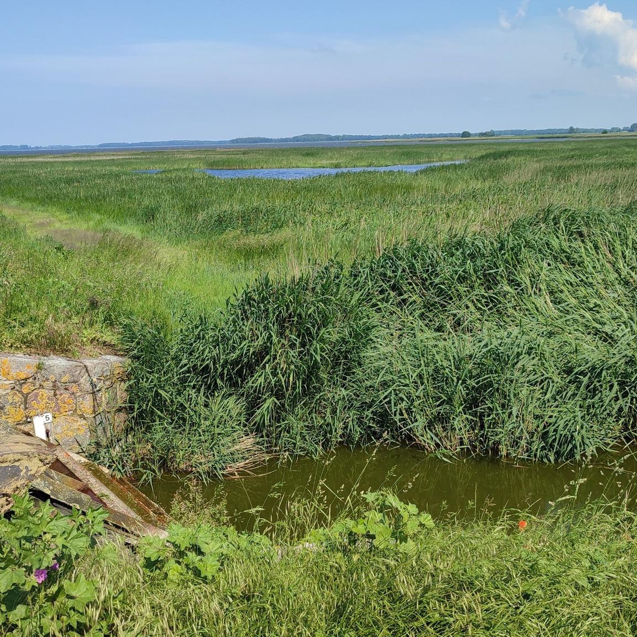
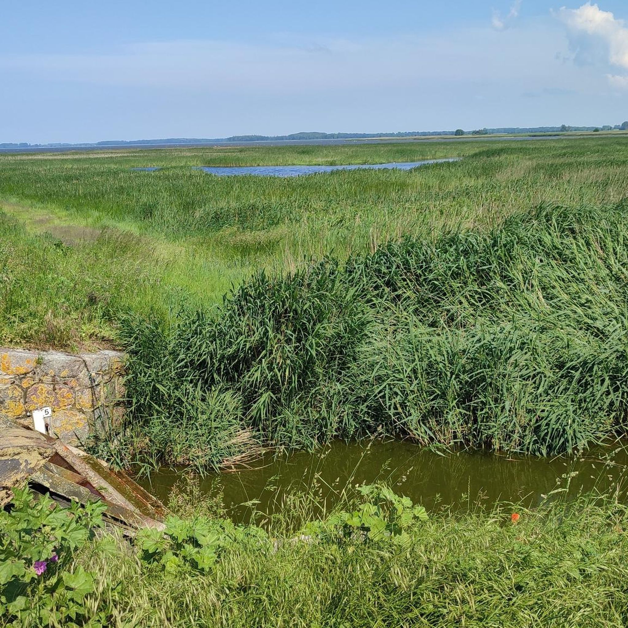
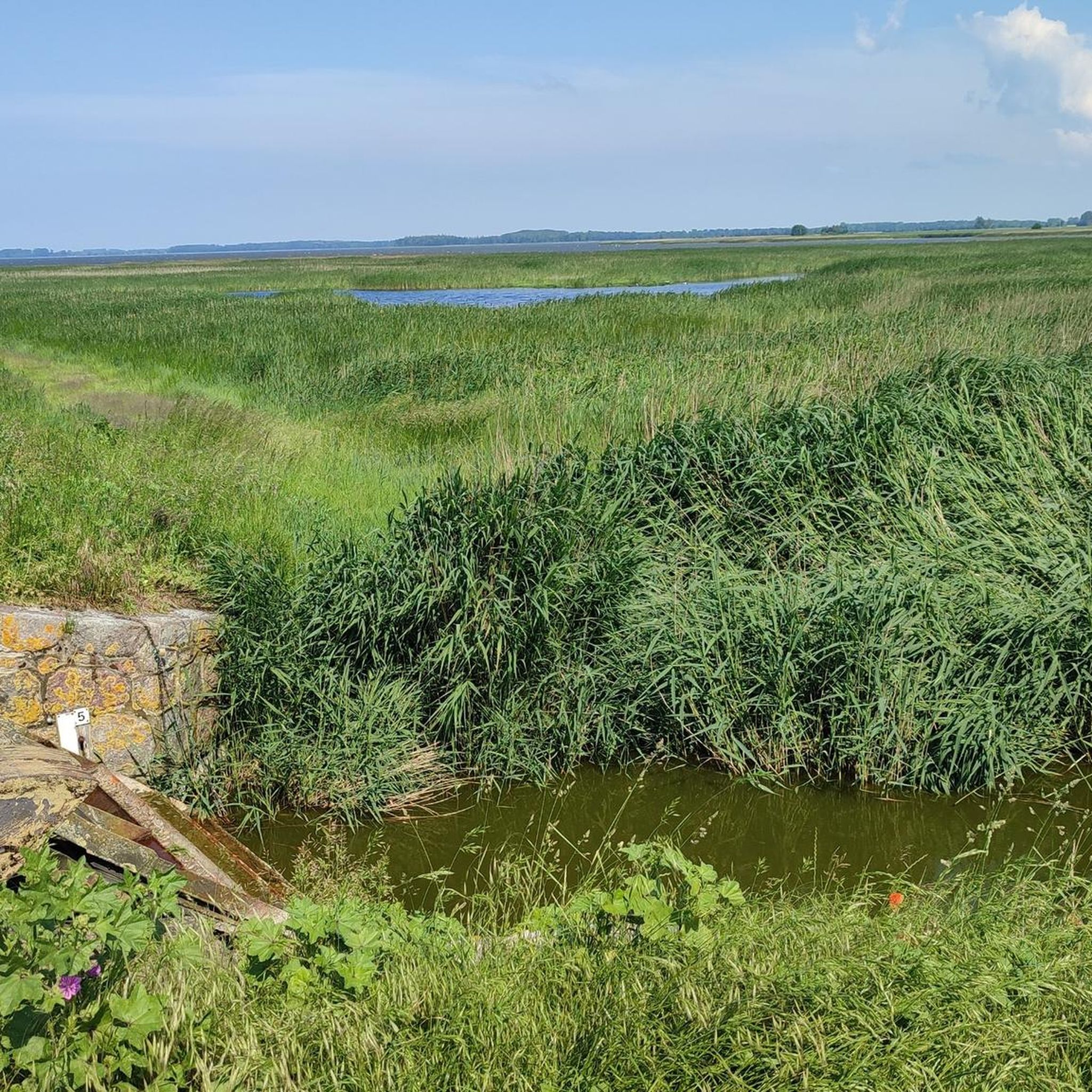
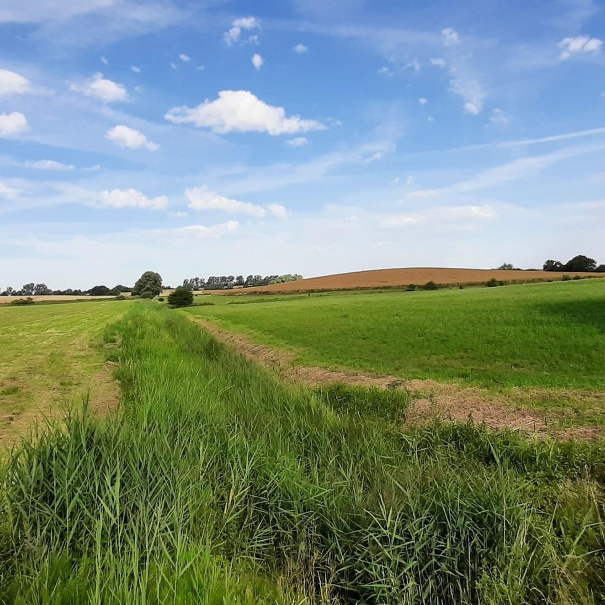
Tips from the Community

Great landscape, however the path runs directly through a wheat field for approx. 200m.
0
0

After clear stretches, you drive directly towards a cozy, very beautiful wooded area.
1
0

Because of its orientation, it is also an ideal place for a sunset.
0
0
A lovely place for a break. View of the Grabow Bodden. Shelter from wind, sun, and rain.
0
0

A nice place for a rest.
10
0


Here is a nice break point with a view of the sea.
1
0
Swimming area. Swim at your own risk.
0
2
Frequently Asked Questions
How many hiking trails are available around Niepars?
Niepars offers a wide selection of hiking routes, with over 370 trails available. These range from easy strolls to more challenging excursions, catering to various fitness levels.
Are there easy hiking trails suitable for beginners or casual walkers in Niepars?
Yes, Niepars is well-suited for easy hikes, with over 240 routes classified as easy. These trails typically feature low elevation gains and explore the region's flat landscapes, often near lakes and lagoons. An example is the Village Church Pütte – Swimming Area at Pütter See loop from Niepars, which is 3.4 miles (5.4 km) long.
What kind of terrain can I expect on hikes around Niepars?
The terrain around Niepars is generally flat, characterized by open fields, small woodlands, and numerous water bodies like Pütter See and Borgwallsee. You'll find paths that wind along lake shores and through rural landscapes, offering varied scenery without significant climbs.
Are there any circular walks available in Niepars?
Yes, many routes around Niepars are circular, allowing you to start and end at the same point. A popular option is the Swimming Area at Pütter See – Bathing area at Pütter Lake loop from Niepars, which is a moderate 5.0-mile (8.1 km) trail.
What attractions or landmarks can I see while hiking near Niepars?
While hiking, you can explore various natural and historical sights. Keep an eye out for natural monuments like the Beaver Dam in NSG Richtenberger See or enjoy views from the Pramort Observation Tower. The region also features historic sites such as Hohendorf Castle and Parow Manor.
Are there any hikes that offer views of Borgwallsee?
Yes, you can enjoy views of Borgwallsee on several routes. The View of Borgwallsee – Swimming Area at Pütter See loop from Pantelitz is a moderate 6.6-mile (10.7 km) path specifically designed to showcase this lake.
What do other hikers say about the trails in Niepars?
The hiking routes in Niepars are highly regarded by the komoot community, holding an average rating of 4.4 stars from over 1,900 reviews. Hikers often appreciate the peaceful lakeside paths and the gentle, accessible nature of the trails.
Are there any trails that lead to the coast or lagoons?
Yes, some trails extend towards the coastal areas and lagoons. For example, the Bathing Area at Barther Bodden – Lagoon Coast loop from Neuenpleen offers a moderate 6.5-mile (10.4 km) experience along the lagoon coast.
Can I find routes that pass through local villages?
Absolutely. Many trails connect to or pass through charming local villages, offering a glimpse into the regional culture. The Village Church Pütte loop from Pantelitz is an easy 3.7-mile (6.0 km) route that explores the area around Pütte.
What is the best time of year to go hiking in Niepars?
Niepars offers pleasant hiking conditions throughout much of the year due to its generally flat terrain. Spring and autumn provide comfortable temperatures and beautiful scenery, while summer is ideal for combining hikes with visits to the bathing areas at the lakes.
Are there any challenging hikes for experienced hikers in Niepars?
While the region is known for its gentle terrain, there are a few routes classified as difficult for those seeking more of a challenge, though these are fewer in number (around 16 routes). These might involve longer distances or slightly more varied ground, but significant elevation changes are rare.
Most popular attractions around Niepars

Get inspired with the komoot mobile app


Explore more
Browse the best Hikes in other regions.
