The best walks and hikes around Niederwörresbach
4.5
(1165)
4,577
hikers
18
hikes
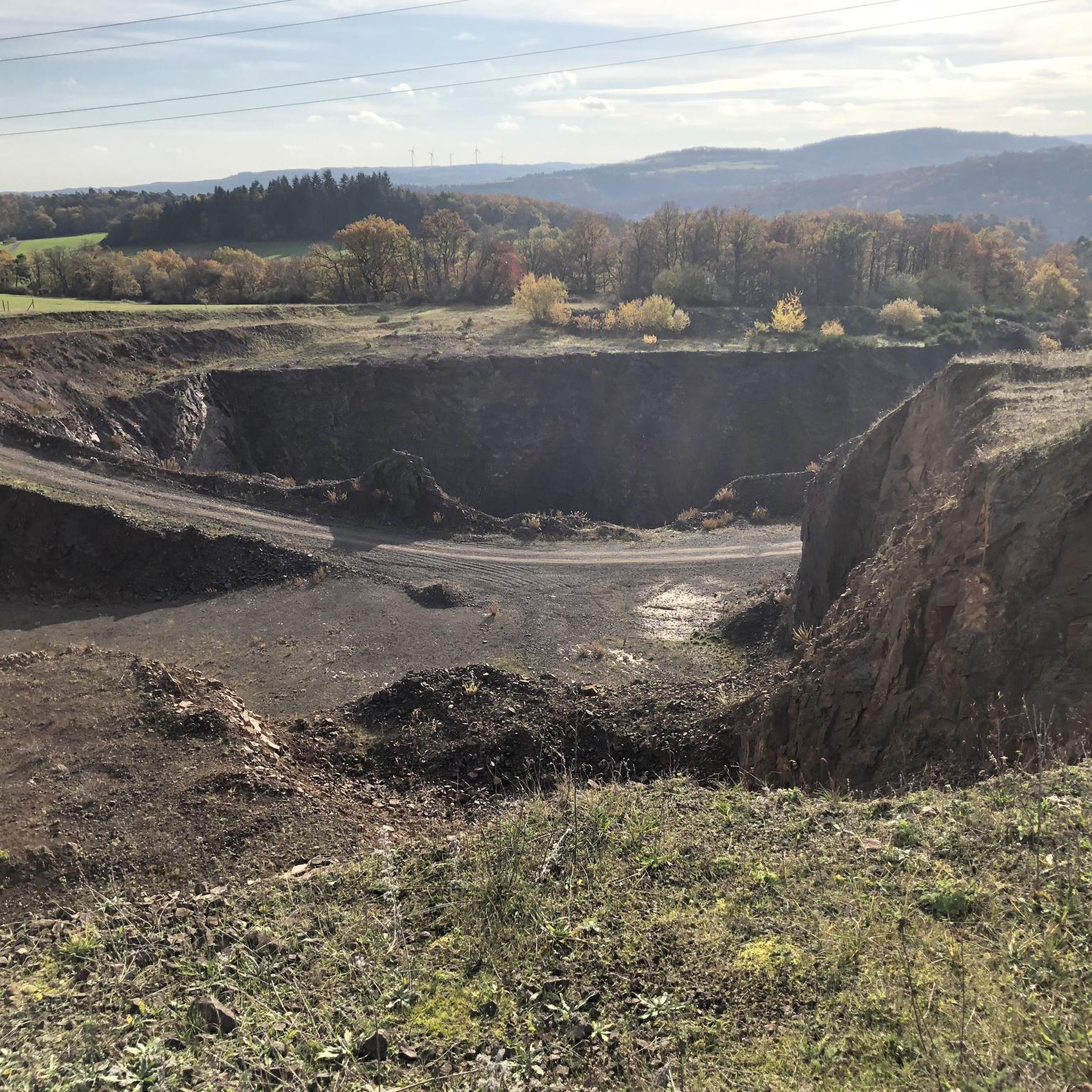
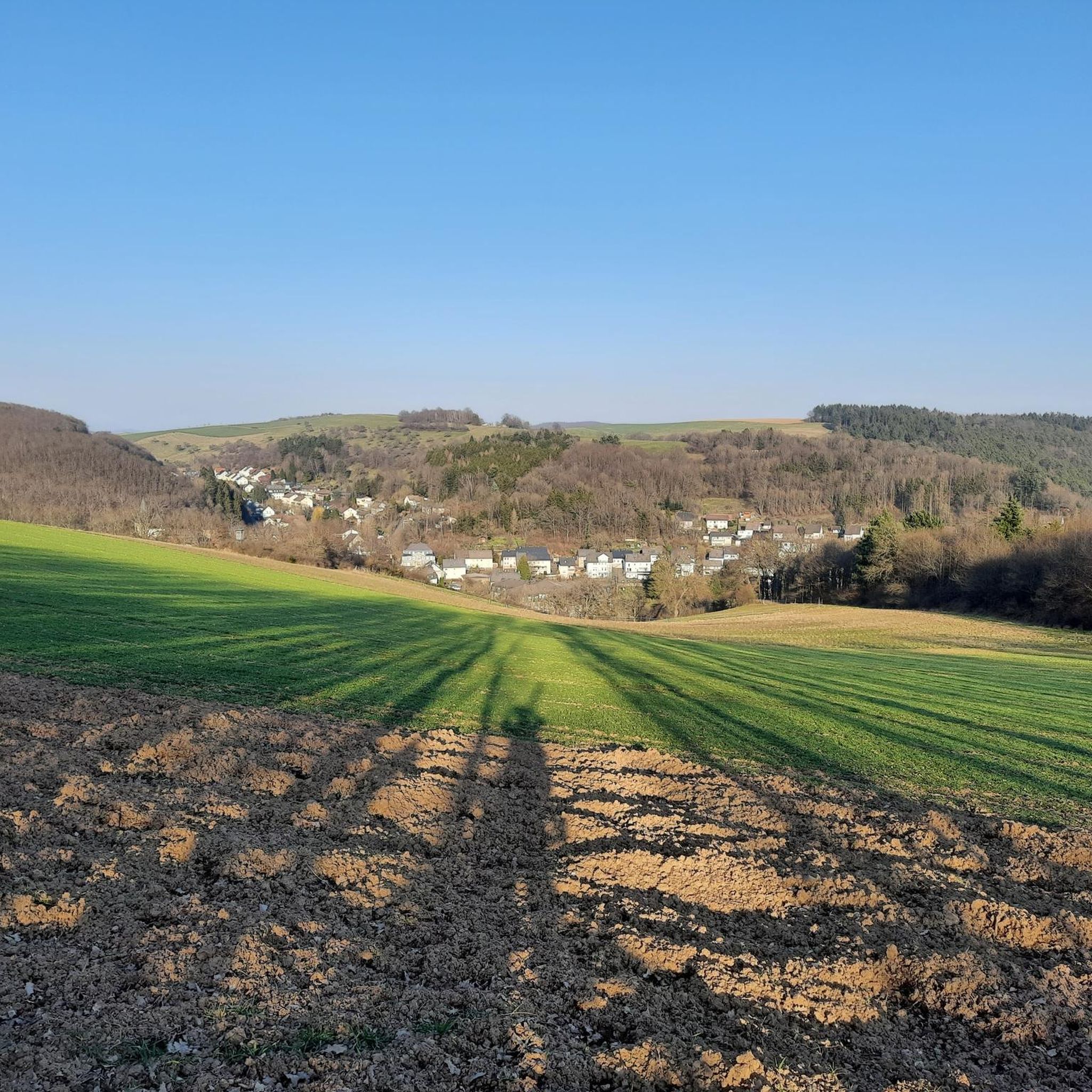
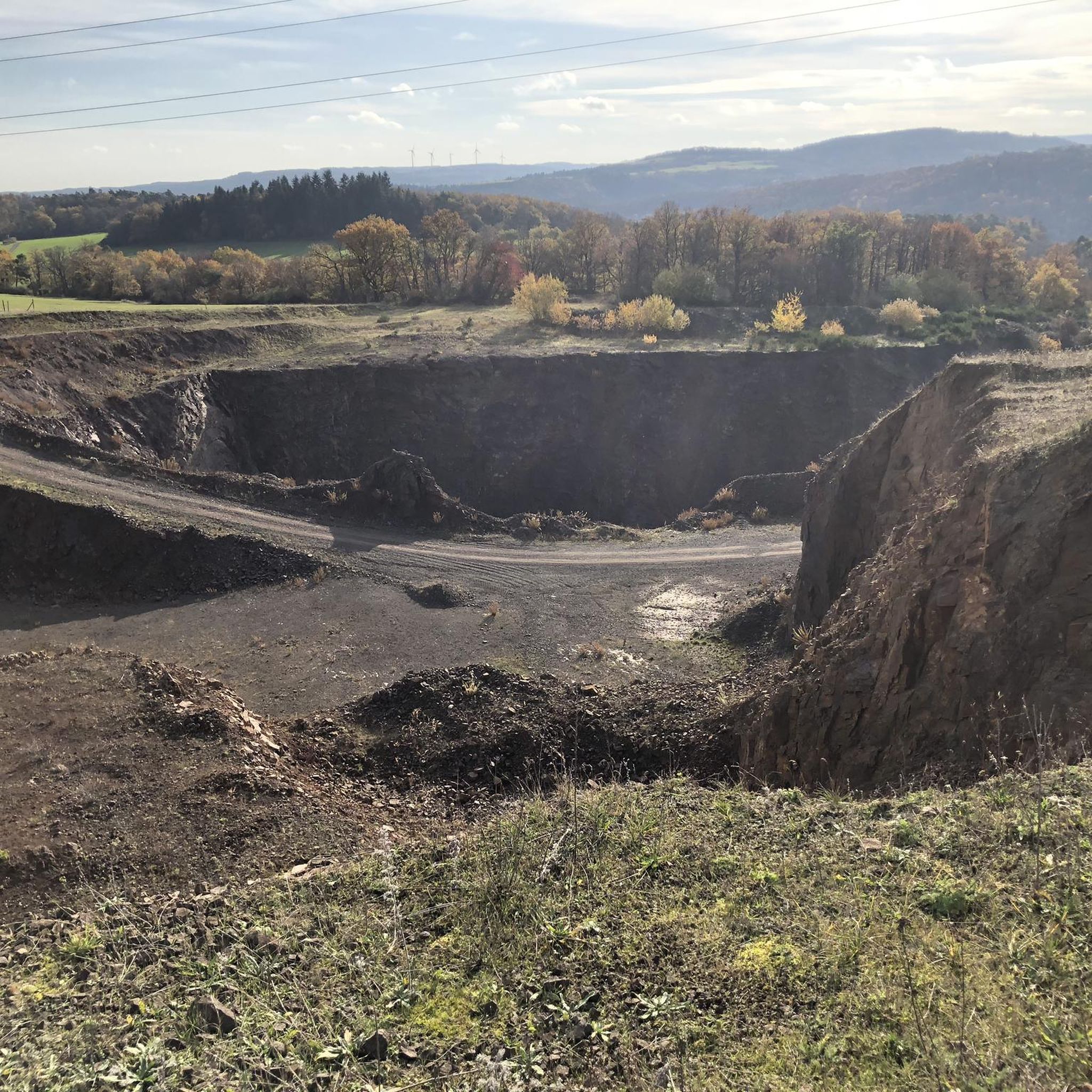
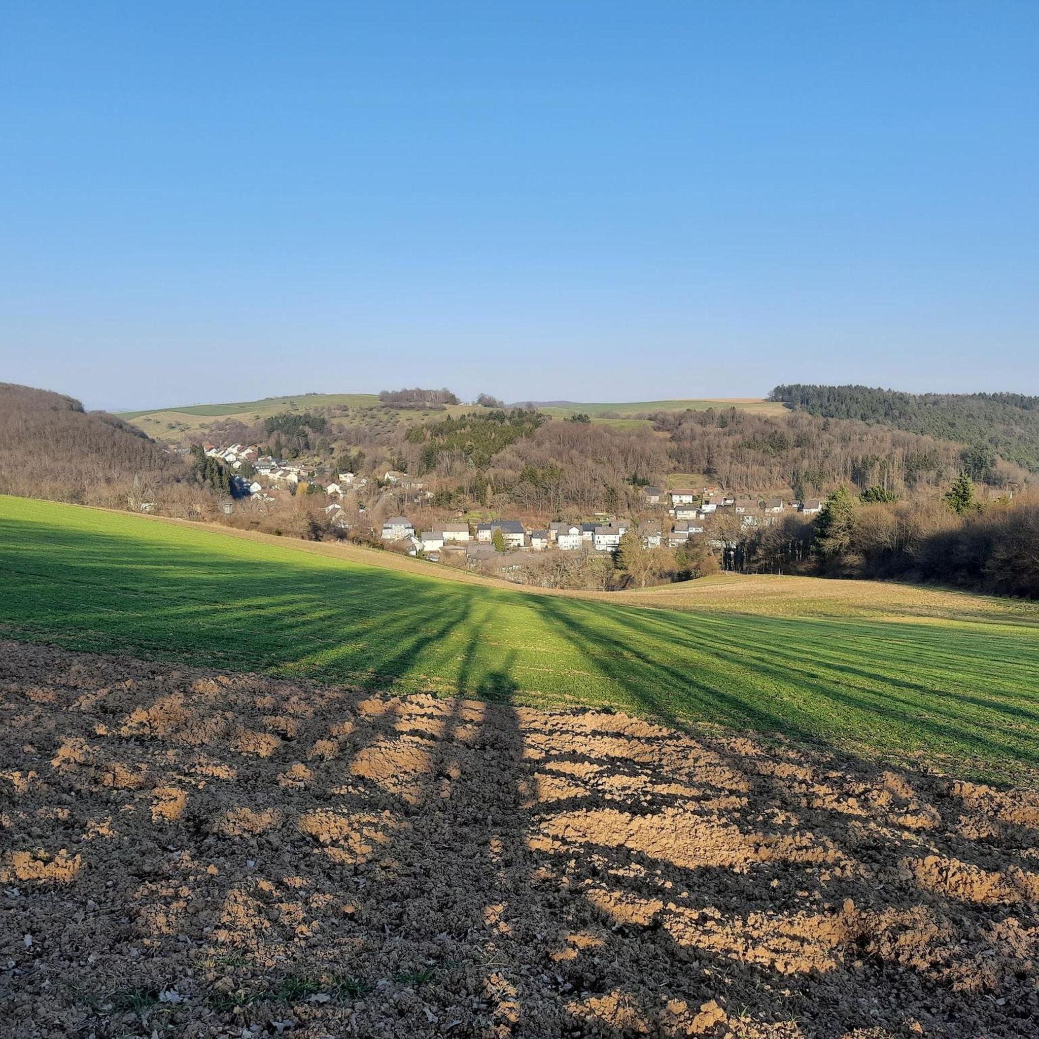
Hiking around Niederwörresbach offers diverse landscapes, situated on the edge of the Hunsrück-Hochwald National Park. The region features a blend of tranquil forests, rolling hills, and varied terrain, including valleys and unspoiled paths. Hikers can experience rocky landscapes and clear waterways, contributing to a natural environment. The area provides options for various hiking preferences, from gentle forest walks to more demanding routes.
Best hiking trails around Niederwörresbach
- The most popular hiking route is Hosenbach Waterfall loop from Niederwörresbach, a…
Last updated: May 18, 2026
4.8
(70)
300
hikers
20.2km
06:04
680m
680m
Hard hike. Very good fitness required. Easily-accessible paths. Suitable for all skill levels.
5.0
(2)
8
hikers
Moderate hike. Good fitness required. Easily-accessible paths. Suitable for all skill levels.

Sign up for free
4.8
(9)
16
hikers
12.5km
03:40
360m
360m
Moderate hike. Good fitness required. Easily-accessible paths. Suitable for all skill levels.
4.5
(2)
8
hikers
4.81km
01:24
130m
130m
Easy hike. Great for any fitness level. Easily-accessible paths. Suitable for all skill levels.
5.0
(2)
5
hikers
4.99km
01:26
120m
120m
Easy hike. Great for any fitness level. Easily-accessible paths. Suitable for all skill levels.
Get access to more routes and recommendations from other explorers.
Sign up for free
Already have an account?
Our route recommendations are based on thousands of hikes, rides, and runs completed by other people on komoot.
Start today with a free account
Your next adventure awaits.
Login or Signup
Tips from the Community

We had a lovely rest up here.
0
0

Duplication to the "Erzgrube rest area"
0
0
The section of the route is also very idyllic and recommendable.
0
0

You absolutely have to take a break in the Zehntscheune! There are delicious specialties and home-made cakes and tarts
0
0

A worthwhile dream loop with great passages
0
0
A great place, beautiful old town with half-timbered houses and the medieval path dream loop is wonderful for hiking
0
0
From there you have a wonderful view over Herrstein
0
0

A beautiful gateway to a great place
2
0
Frequently Asked Questions
How many hiking trails are available around Niederwörresbach?
There are 17 hiking trails around Niederwörresbach, offering a variety of experiences for different skill levels. You'll find everything from easy forest walks to more challenging routes through varied terrain.
What kind of terrain can I expect on hikes in Niederwörresbach?
The terrain around Niederwörresbach is quite diverse, ranging from tranquil forests and rolling hills to valleys and unspoiled paths. You might encounter rocky landscapes, including features like the Mörschieder Burr, and clear waterways, especially near the Hunsrück-Hochwald National Park.
Are there any family-friendly hiking options in Niederwörresbach?
Yes, the region offers trails suitable for families. While the guide doesn't list specific 'family' routes, many easy to moderate trails are suitable. The 'Adventure Trail' mentioned in the region research, with stations for climbing and balancing, is a good example of what the area provides for children.
Are there any circular hiking routes available?
Yes, many routes around Niederwörresbach are circular. For example, the Holger Rieth Bridge loop from Niederwörresbach is an easy 3.0-mile (4.8 km) circular trail. Another option is the At the Wahlenbach Shelter loop from Gerach, which is also an easy 3.1-mile (4.9 km) circular hike.
Can I find any waterfalls on the hiking trails?
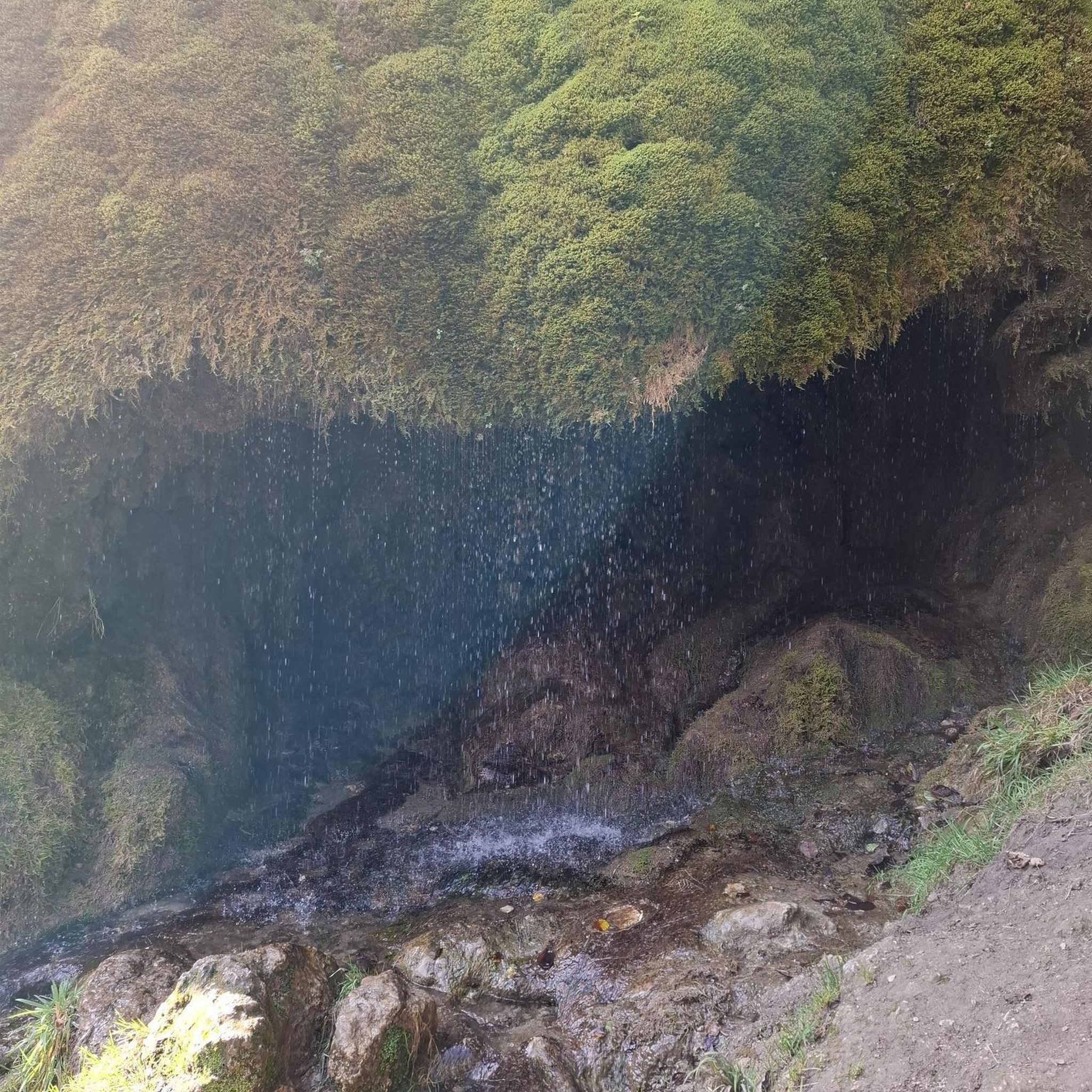
Yes, you can discover waterfalls in the area. The Hosenbach Waterfall loop from Niederwörresbach is a challenging 12.5-mile (20.2 km) trail that specifically explores the Hosenbach Waterfall and its surrounding natural terrain.
What historical landmarks or attractions can I see while hiking?
The region is rich in history. You can explore the historic old town of Herrstein on the Historic Old Town of Herrstein – Clock Tower City Gate Herrstein loop from Niederwörresbach. Additionally, nearby attractions include the impressive Schmidtburg Castle Ruins and the Celtic Settlement Altburg.
Are there any viewpoints offering panoramic views?
Yes, the region is known for its expansive views. The observation tower on the Wildenburger Kopf, though not directly on a listed route, provides a 360-degree panoramic view over the entire Hunsrück region and into the Palatinate, making it a worthwhile destination for scenic vistas.
What is the best time of year to go hiking in Niederwörresbach?
The best seasons for hiking in Niederwörresbach are spring and autumn. During these times, temperatures are mild, and the natural scenery is at its most vibrant, with blooming flowers in spring or colorful foliage in autumn. The air quality is also notably clean in this region.
What do other hikers enjoy most about the trails in Niederwörresbach?
The trails in Niederwörresbach are highly rated by the komoot community, with an average score of 4.5 stars from over 1100 reviews. Hikers often praise the diverse landscapes, the tranquility of the forests, and the well-maintained paths that offer a blend of natural beauty and varied challenges.
Are there any places to eat or rest near the hiking trails?
While specific cafes directly on every trail aren't listed, the broader area offers options. For instance, near the lakes, you can find the Reinhartsmühle Trout Farm and the Harfenmühle Campsite and Restaurant, which provide opportunities for refreshments and rest.
Are there any easy hiking trails suitable for beginners?
Yes, Niederwörresbach offers several easy trails. The Holger Rieth Bridge loop from Niederwörresbach is an easy 3.0-mile (4.8 km) route, and the At the Wahlenbach Shelter loop from Gerach is another easy 3.1-mile (4.9 km) option, both perfect for a relaxed walk.
What is the most challenging hike in the area?
The most challenging hike listed is the Hosenbach Waterfall loop from Niederwörresbach. This difficult trail spans 12.5 miles (20.2 km) with significant elevation changes, taking approximately 6 hours to complete, and offers a demanding exploration of the natural landscape.
Most popular routes around Niederwörresbach
Most popular attractions around Niederwörresbach

Get inspired with the komoot mobile app


Explore more
Browse the best Hikes in other regions.
