The best road cycling routes around Niedert
4.6
(218)
2,909
riders
84
rides
Road cycling routes around Niedert offer diverse terrain within the Hunsrück region, characterized by its hilly landscape, deep valleys, and extensive forests. This low mountain range provides a network of quiet side roads and well-maintained asphalt cycle paths. Cyclists can experience both challenging climbs and rapid descents, with access to scenic areas like the Moselle Valley and Rhine Gorge. The area's geography includes vineyards, creating varied backdrops for rides.
Best road cycling routes around Niedert
- The most popular road cycling…
Last updated: July 5, 2026
4.3
(4)
63
riders
21.0km
00:56
220m
220m
Easy road ride. Great for any fitness level. Mostly well-paved surfaces and easy to ride.
5.0
(1)
19
riders
45.4km
02:08
550m
550m
Moderate road ride. Good fitness required. Mostly well-paved surfaces and easy to ride.

Sign up for free
8
riders
57.7km
02:39
690m
690m
Moderate road ride. Good fitness required. Mostly well-paved surfaces and easy to ride.
9
riders
19.6km
01:10
200m
200m
Moderate road ride. Great for any fitness level. Some segments of this route may be unpaved and difficult to ride.
7
riders
57.3km
02:36
610m
610m
Moderate road ride. Good fitness required. Mostly well-paved surfaces and easy to ride.
Get access to more routes and recommendations from other explorers.
Sign up for free
Already have an account?
Our route recommendations are based on thousands of hikes, rides, and runs completed by other people on komoot.
Start today with a free account
Your next adventure awaits.
Login or Signup
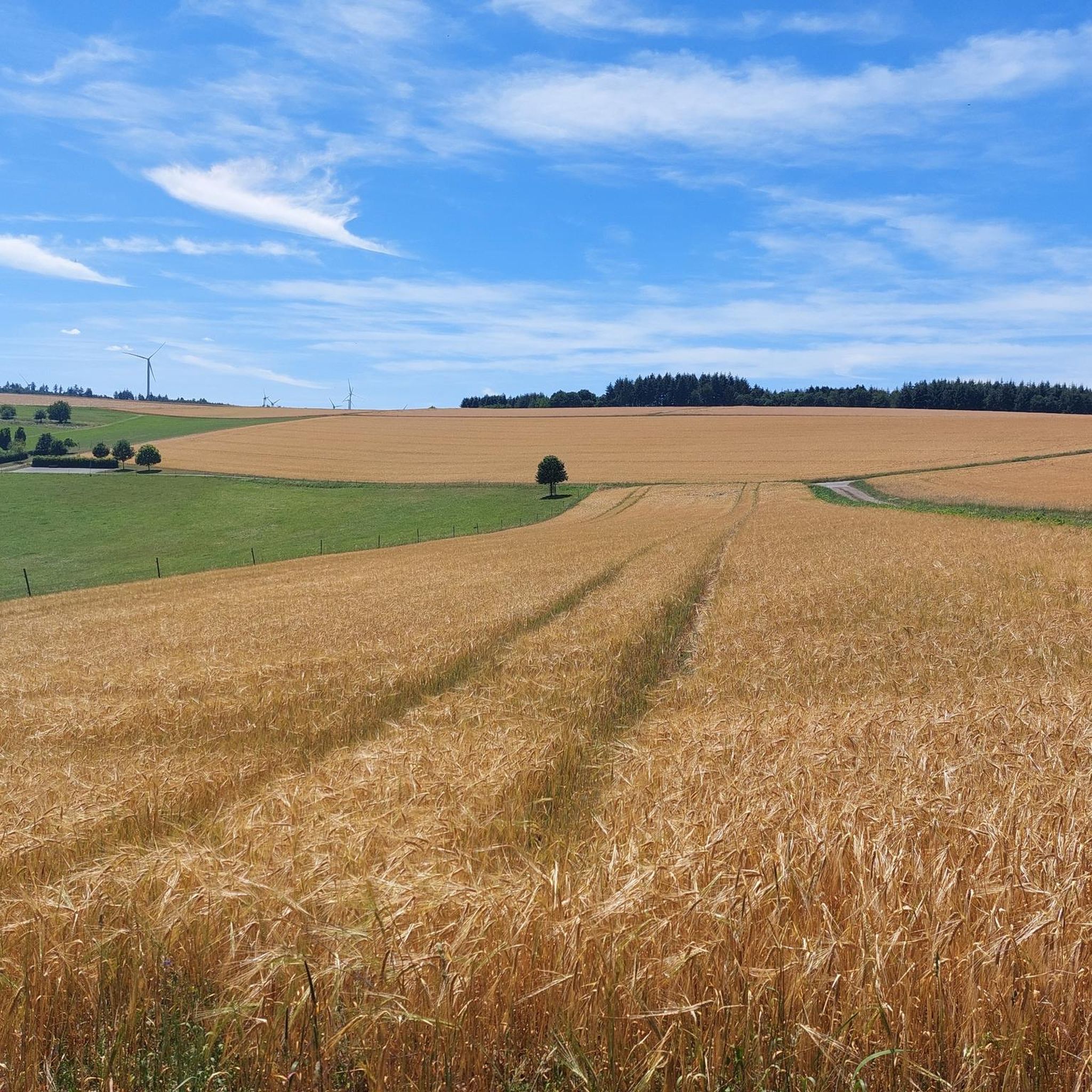
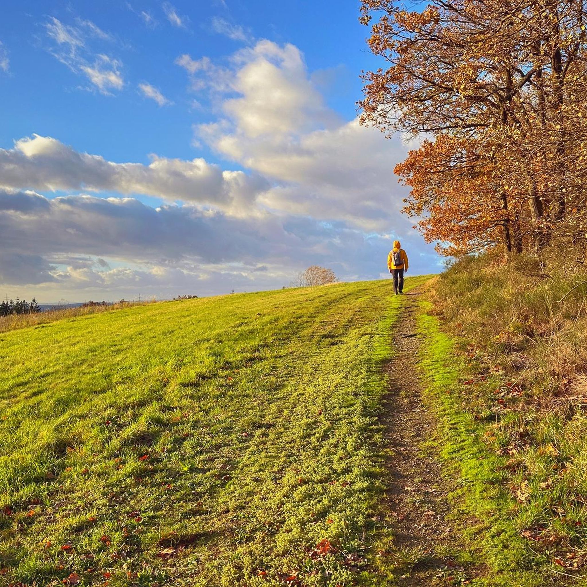
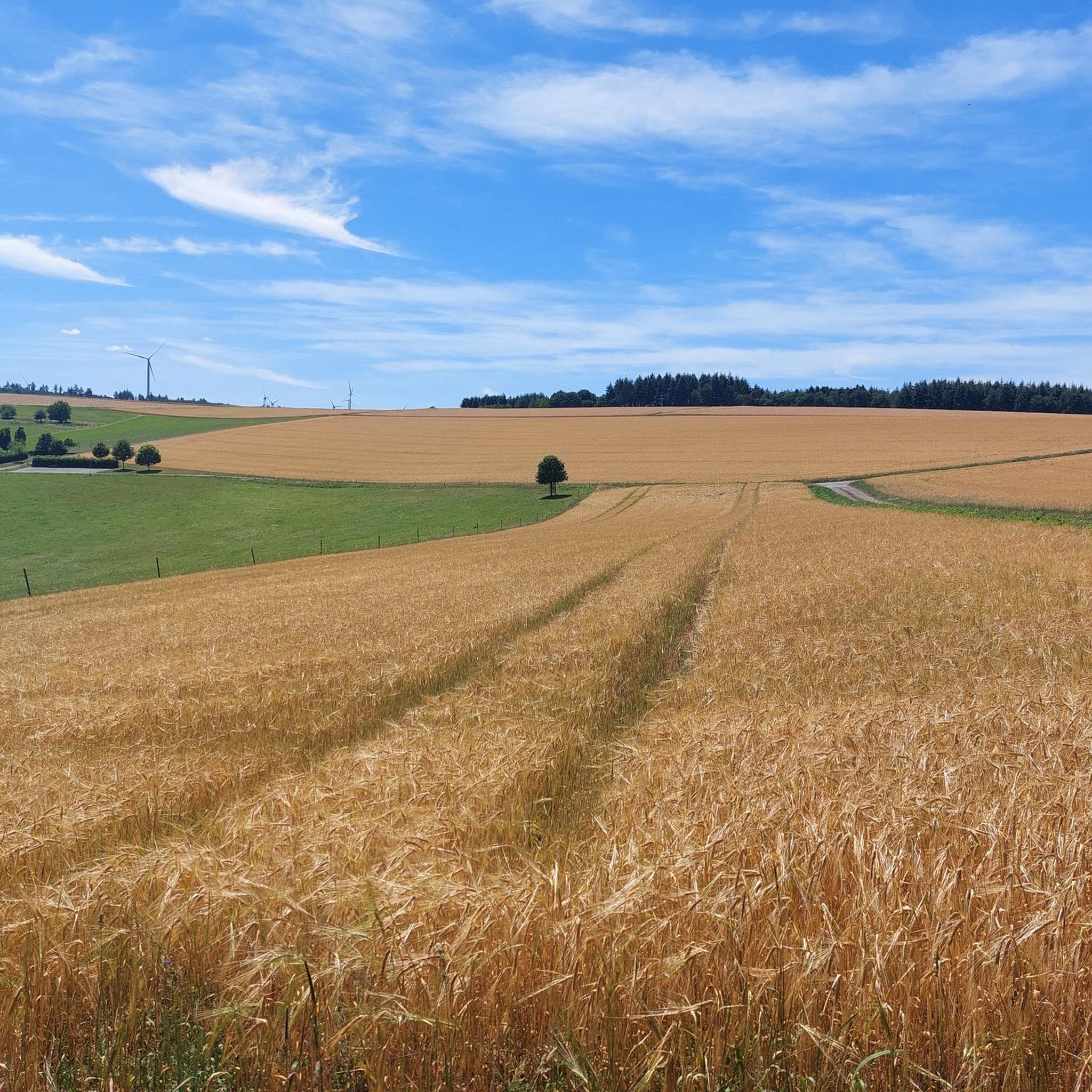
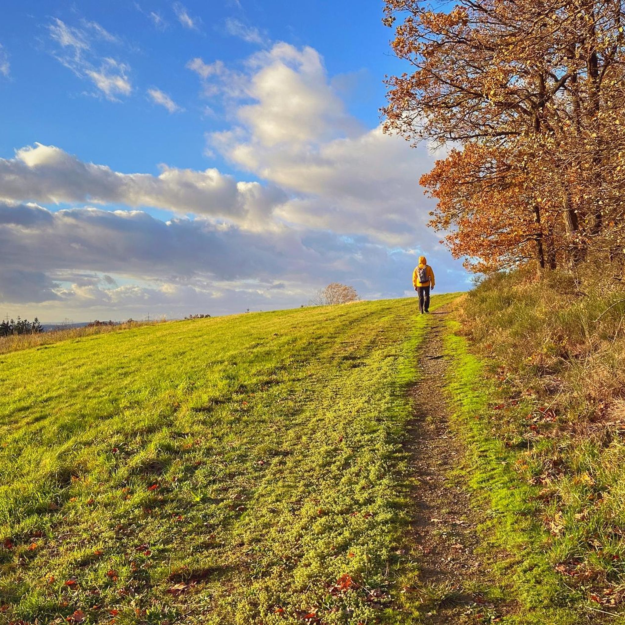
Tips from the Community

Very beautiful castle complex 👍
0
0
Start at the Zapp in Emmelshausen
0
0
Beautiful route, usually little traffic
0
0
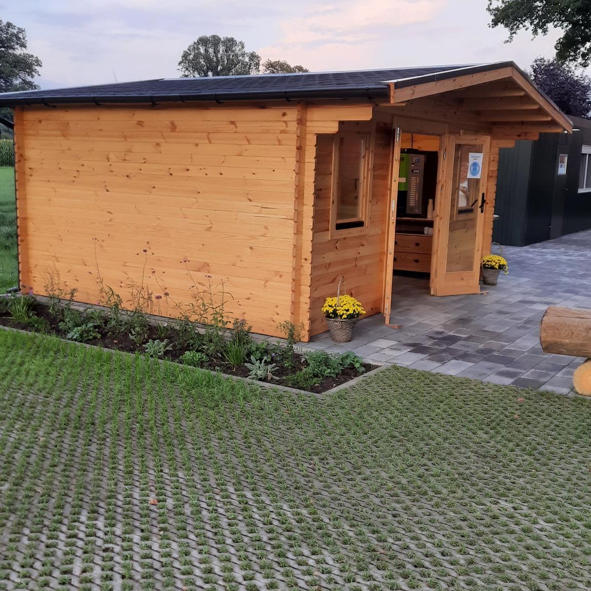
A good opportunity to take a break
0
0
Cool picture, definitely over 30 years old.
0
0
Start or end point in Emmelshausen
0
0
Beautiful cycle path towards Buch
0
0
Frequently Asked Questions
What kind of terrain can I expect when road cycling around Niedert?
The Hunsrück region around Niedert is characterized by its hilly landscape, featuring 'humpbacks' and deep valleys. You'll encounter a mix of challenging climbs and exhilarating descents on quiet side roads and well-maintained asphalt cycle paths. The area also offers extensive forests and vineyards, providing varied backdrops for your rides.
How many road cycling routes are available in the Niedert area?
There are over 90 road cycling routes available around Niedert, catering to various skill levels. This includes 7 easy routes, 66 moderate routes, and 19 difficult routes, ensuring options for every cyclist.
Are there any easy road cycling routes suitable for beginners or a more relaxed pace?
Yes, Niedert offers several easy routes. A popular choice is the Schinderhannes Cycle Path loop from Mühlpfad, which is 20.0 miles (32.1 km) long and follows a historic railway line, offering gentle gradients. Another easy option is the Gleis 3 Café & Restaurant – Schinderhannes Cycle Path loop from Hausbay, a 13.0 miles (20.9 km) path utilizing sections of the same smooth cycle path.
What are some challenging road cycling routes for experienced riders?
For experienced riders seeking a challenge, the region offers routes with significant elevation gains. An example of a moderate route that provides a good workout is the Pfalzfeld Railway Station – Gleis 3 Café & Restaurant loop from Norath, covering 36.1 miles (58.1 km) with over 690 meters of ascent. Another challenging moderate option is the Gleis 3 Café & Restaurant – Gründelbachtal Ascent (L206) loop from Hausbay, which is 19.8 miles (31.8 km) long and features over 610 meters of climbing.
What natural features or landmarks can I see along the road cycling routes around Niedert?
While cycling around Niedert, you'll encounter the scenic Hunsrück landscape with its deep valleys and extensive forests. For specific viewpoints, consider routes that pass near highlights such as the View from Fleckertshöhe or the Rheingold View. The broader region also offers access to the famous Geierlay Suspension Bridge, historic castles along the rivers, and picturesque vineyards.
Can I find circular road cycling routes in Niedert?
Yes, many of the road cycling routes around Niedert are designed as loops, allowing you to start and end at the same point. Examples include the Schinderhannes Cycle Path loop from Mühlpfad and the Old Waterworks Horn – Rural Road Near Budenbach loop from Hausbay, which takes you through varied rural roads.
What is the best time of year for road cycling in Niedert?
The Hunsrück region is generally best for road cycling from spring through autumn. During these seasons, the weather is typically mild, and the landscapes are vibrant. Spring brings blooming nature, while autumn offers stunning foliage. Winter cycling might be possible but can be challenging due to colder temperatures and potential for ice or snow on higher elevations.
Are there options for road cycling along the Moselle or Rhine rivers from Niedert?
Niedert's strategic location provides easy access to both the Moselle Valley and the Rhine Gorge. The Moselle Cycle Route offers mostly flat terrain along the riverbanks, winding through vineyards and charming towns. The Rhine Cycle Route, passing through a UNESCO World Heritage site, provides stunning views of castles. Both offer a different cycling experience compared to the hilly Hunsrück terrain.
What do other road cyclists say about the routes in Niedert?
The road cycling routes in Niedert are highly rated by the komoot community, with an average score of 4.6 stars from over 180 reviews. More than 2,700 road cyclists have used komoot to explore the varied terrain, often praising the quiet roads and scenic beauty of the Hunsrück region.
Are there any places to stop for refreshments or amenities along the routes?
While Niedert itself is a smaller municipality, the broader Hunsrück region and nearby towns offer amenities. Some routes, like the Gleis 3 Café & Restaurant – Schinderhannes Cycle Path loop from Hausbay, are named after specific establishments, indicating potential stops. You can also find various huts and shelters, such as Schmausemühle or Uschi's Hiking Station, which may offer refreshments or a place to rest.
Is public transport or parking readily available for accessing road cycling routes in Niedert?
While specific parking details for every route are not provided, Niedert is situated directly on the Hunsrückhöhenstraße, a scenic road that offers access to the region's natural beauty. For public transport, it's advisable to check local bus or train schedules for connections to nearby larger towns like Emmelshausen, which may offer better access points to the cycling network.
Most popular attractions around Niedert

Get inspired with the komoot mobile app


Explore more
Browse the best Road cycling routes in other regions.
