The best walks and hikes around Niedersayn
4.6
(6708)
23,506
hikers
877
hikes
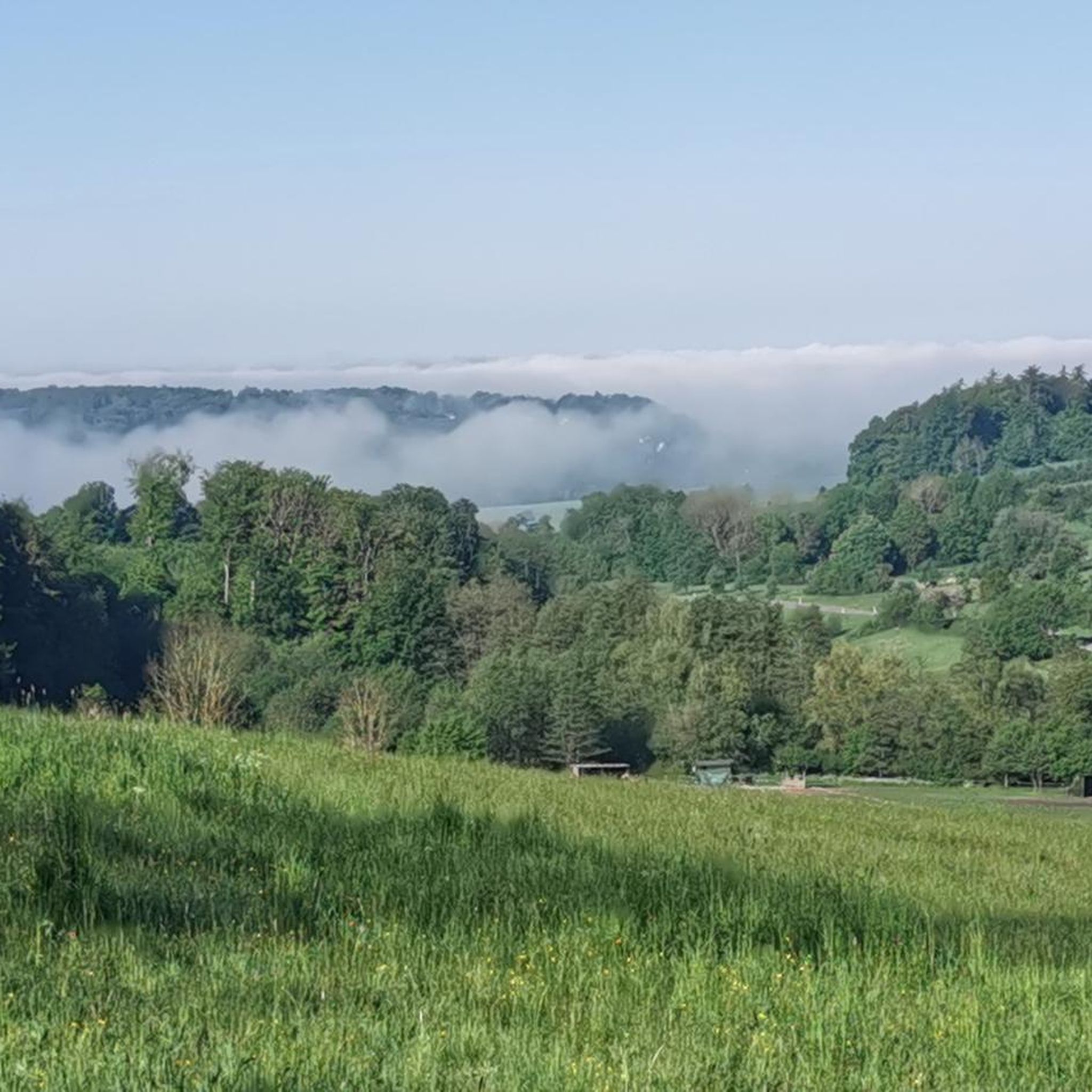
Hiking around Niedersayn offers access to the diverse landscapes of the Westerwald region. The terrain is characterized by rolling hills and agricultural areas, providing varied scenery for outdoor activities. The area features easily accessible paths, with some routes including moderate elevation changes. Nearby natural features include the Dreifelder Weiher, a complex of ponds offering tranquil walking opportunities.
Best hiking trails around Niedersayn
- The most popular hiking route is Old Oak near Maxsain – God Preserve Wildlife and Forest Sign loop from Niedersayn, a 5.2 miles (8.4 km) trail that takes 2 hours 18 minutes to complete, exploring local woodlands and open fields.
- Another top favourite among local hikers is Beulstein Loop Trail – Beulstein Flag Station loop from Niedersayn, a moderate 4.9 miles (7.9 km) path winding through varied landscapes and offering views of the surrounding area.
- Local hikers also love the Jewish Cemetery Maxsain – Saynbach Bridge in Maxsain loop from Niedersayn, a 6.6 miles (10.6 km) trail leading through rural settings and along the Saynbach, often completed in about 2 hours 51 minutes.
- Hiking around Niedersayn is defined by rolling hills, agricultural areas, and the natural features of the Westerwald region. The network offers options for different ability levels, from easy walks to more challenging moderate routes.
- The routes in Niedersayn are highly rated by the komoot community with an average score of 4.6 stars from over 5,900 reviews. More than 22,000 hikers have used komoot to explore Niedersayn's varied terrain.
Last updated: July 5, 2026
4.3
(6)
26
hikers
Moderate hike. Good fitness required. Easily-accessible paths. Suitable for all skill levels.
5.0
(3)
15
hikers
7.93km
02:15
180m
180m
Moderate hike. Good fitness required. Easily-accessible paths. Suitable for all skill levels.

Sign up for free
5.0
(8)
12
hikers
10.7km
02:53
140m
140m
Moderate hike. Good fitness required. Easily-accessible paths. Suitable for all skill levels.
4.0
(2)
9
hikers
5.21km
01:27
90m
100m
Easy hike. Great for any fitness level. Easily-accessible paths. Suitable for all skill levels.
4.6
(7)
13
hikers
6.18km
01:40
80m
80m
Easy hike. Great for any fitness level. Easily-accessible paths. Suitable for all skill levels.
Get access to more routes and recommendations from other explorers.
Sign up for free
Already have an account?
Our route recommendations are based on thousands of hikes, rides, and runs completed by other people on komoot.
Start today with a free account
Your next adventure awaits.
Login or Signup
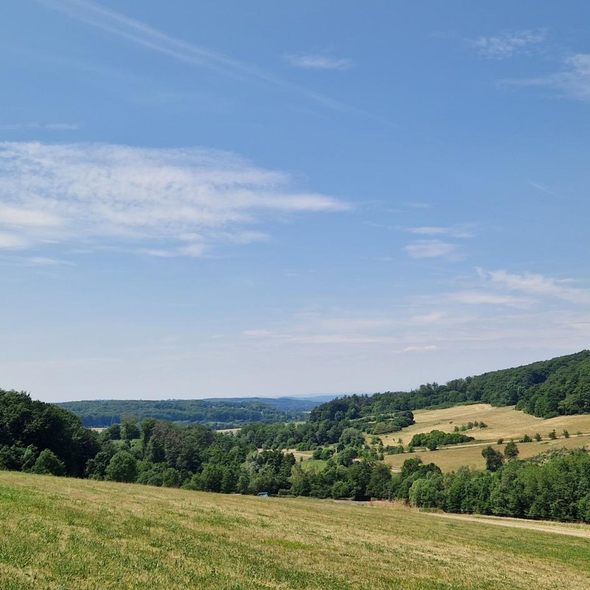
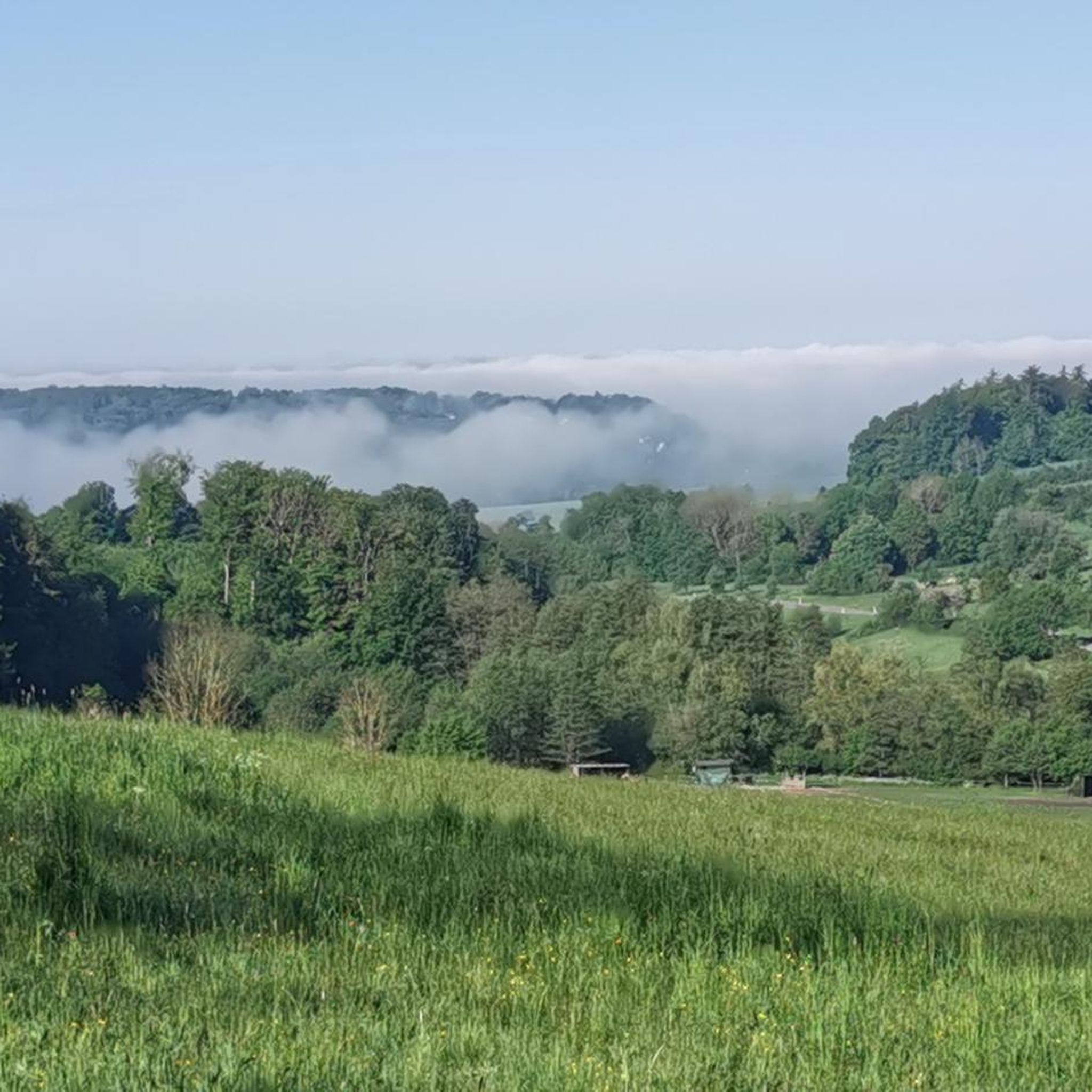
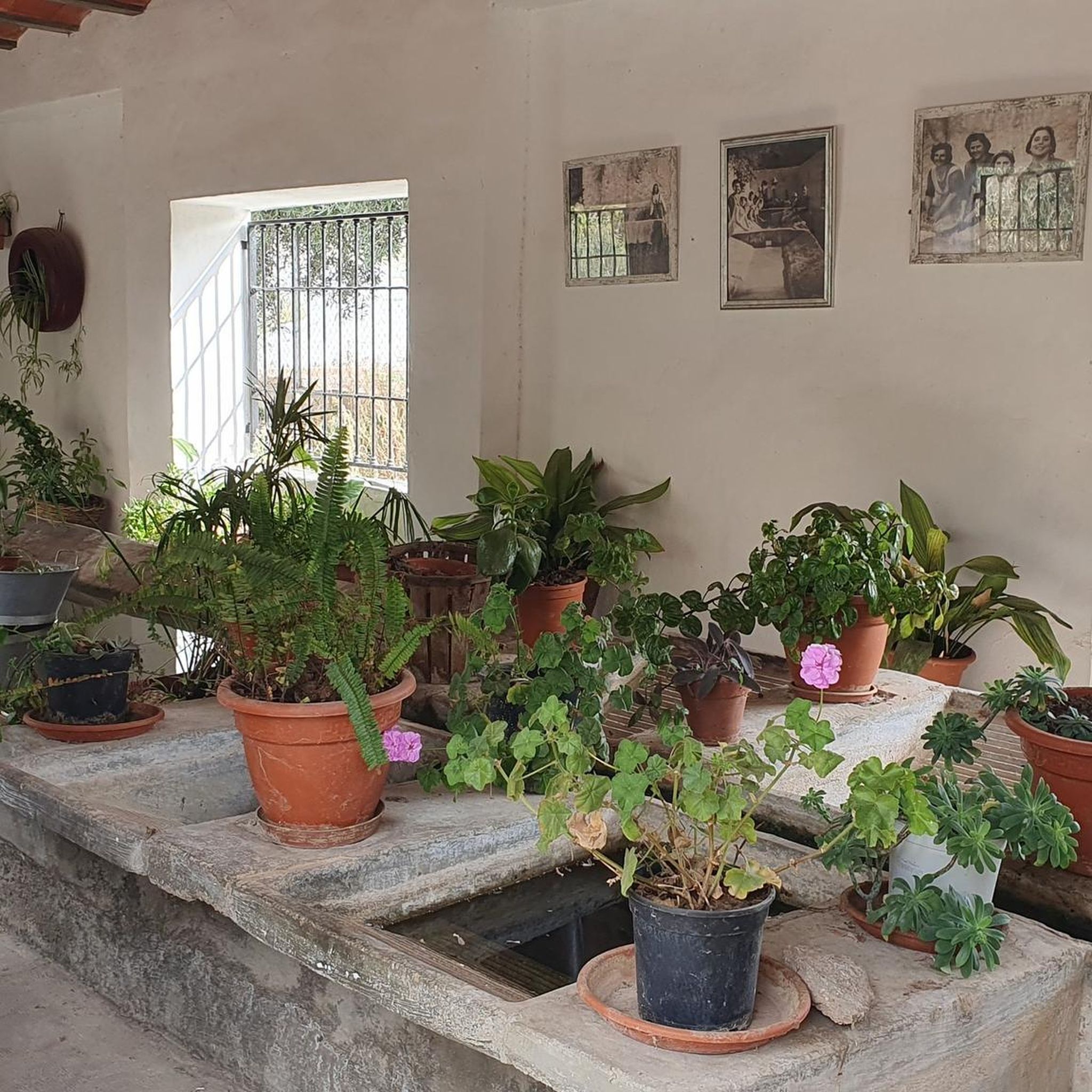
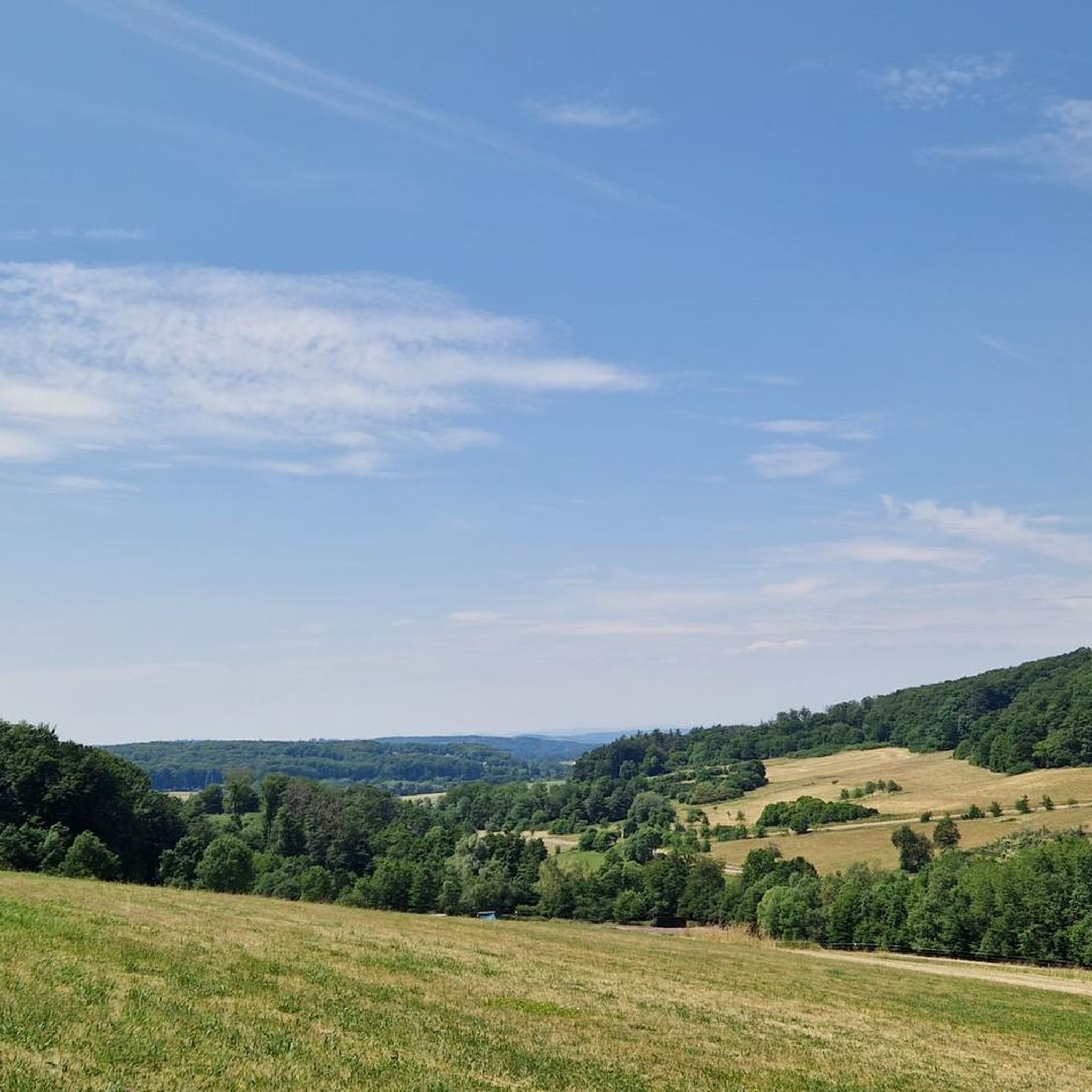
Tips from the Community

I don't find it steep 😉
0
0
Great to see right in the center of town
0
0
Beautiful bridge in the middle of town
0
0
Beautiful, quiet spot along the way
0
0

Nice bench for eating, also a bit shady
0
0

lovingly decorated with all kinds of dwarves etc.
0
0

The enchanted forest with adorable little figures along the path. Great for children.
0
0

Frequently Asked Questions
How many hiking trails are available around Niedersayn?
Niedersayn offers a wide selection of hiking opportunities, with over 860 routes recorded on komoot. These range from easy strolls to more challenging moderate hikes, ensuring options for various fitness levels.
What kind of terrain can I expect on hikes near Niedersayn?
The terrain around Niedersayn is characterized by rolling hills and agricultural areas, typical of the Westerwald region. You'll find a mix of easily accessible paths, woodlands, and open fields, with some routes featuring moderate elevation changes.
Are there any easy hiking trails suitable for beginners or leisurely walks?
Yes, Niedersayn has numerous easy trails. For example, the Weidenhahn Catholic Church – View of the Westerwald loop from Ewighausen is an easy 6.3 km route. Another accessible option is the View towards Ettinghausen – View of Fluturakja loop from Niedersayn, which is 5.4 km long and also rated easy.
What are some notable natural features or landmarks to see while hiking?
A significant natural attraction nearby is the Dreifelder Weiher, a complex of ponds offering tranquil walking opportunities. You can explore the Wooden boardwalks at the Dreifelder Weiher, enjoy views of the Dreifelder Pond, or visit the Haidenweiher and Hofmanns Pond.
Are there any circular hiking routes around Niedersayn?
Many trails in the Niedersayn area are circular, allowing you to start and end at the same point. Examples include the Old Oak near Maxsain loop, the Beulstein Loop Trail, and the Jewish Cemetery Maxsain loop, all starting from Niedersayn.
What do other hikers say about the trails in Niedersayn?
The hiking routes around Niedersayn are highly regarded by the komoot community, with an average rating of 4.6 stars from over 5,900 reviews. Hikers often praise the diverse scenery, well-maintained paths, and the peaceful atmosphere of the Westerwald region.
Are there options for longer, more challenging hikes?
While most trails are easy to moderate, there are 14 routes rated as difficult for those seeking a greater challenge. The moderate trails, such as the Jewish Cemetery Maxsain – Saynbach Bridge in Maxsain loop at 10.6 km, offer longer distances and more varied elevation.
Can I combine hiking with other outdoor activities in the area?
Absolutely. Beyond hiking, the region offers other outdoor pursuits. The Westerwald Rail Trail, a cycling path along a former railway line, provides an excellent alternative for experiencing the natural beauty of the area, largely traversing through forests.
What is the typical duration for a hike around Niedersayn?
Hike durations vary depending on the route and your pace. Many popular trails, like the Old Oak near Maxsain loop (8.4 km), can be completed in about 2 hours 18 minutes. Longer moderate routes, such as the Jewish Cemetery Maxsain loop (10.6 km), typically take around 2 hours 51 minutes.
Is Niedersayn a good base for exploring the wider Westerwald region?
Yes, Niedersayn serves as an excellent starting point for exploring the picturesque Westerwald. Its accessible trails and proximity to natural landscapes like the Dreifelder Weiher make it ideal for discovering the region's diverse scenery and attractions.
Are there any viewpoints offering scenic vistas along the trails?
Yes, several trails offer scenic viewpoints. For instance, the View towards Ettinghausen loop provides lovely vistas. Additionally, the View of the Dreifelder Pond is a specific highlight offering picturesque perspectives of the water and surrounding landscape.
Most popular routes around Niedersayn
Most popular attractions around Niedersayn

Get inspired with the komoot mobile app


Explore more
Browse the best Hikes in other regions.
