The best walks and hikes around Niederorschel
4.6
(1922)
6,596
hikers
34
hikes
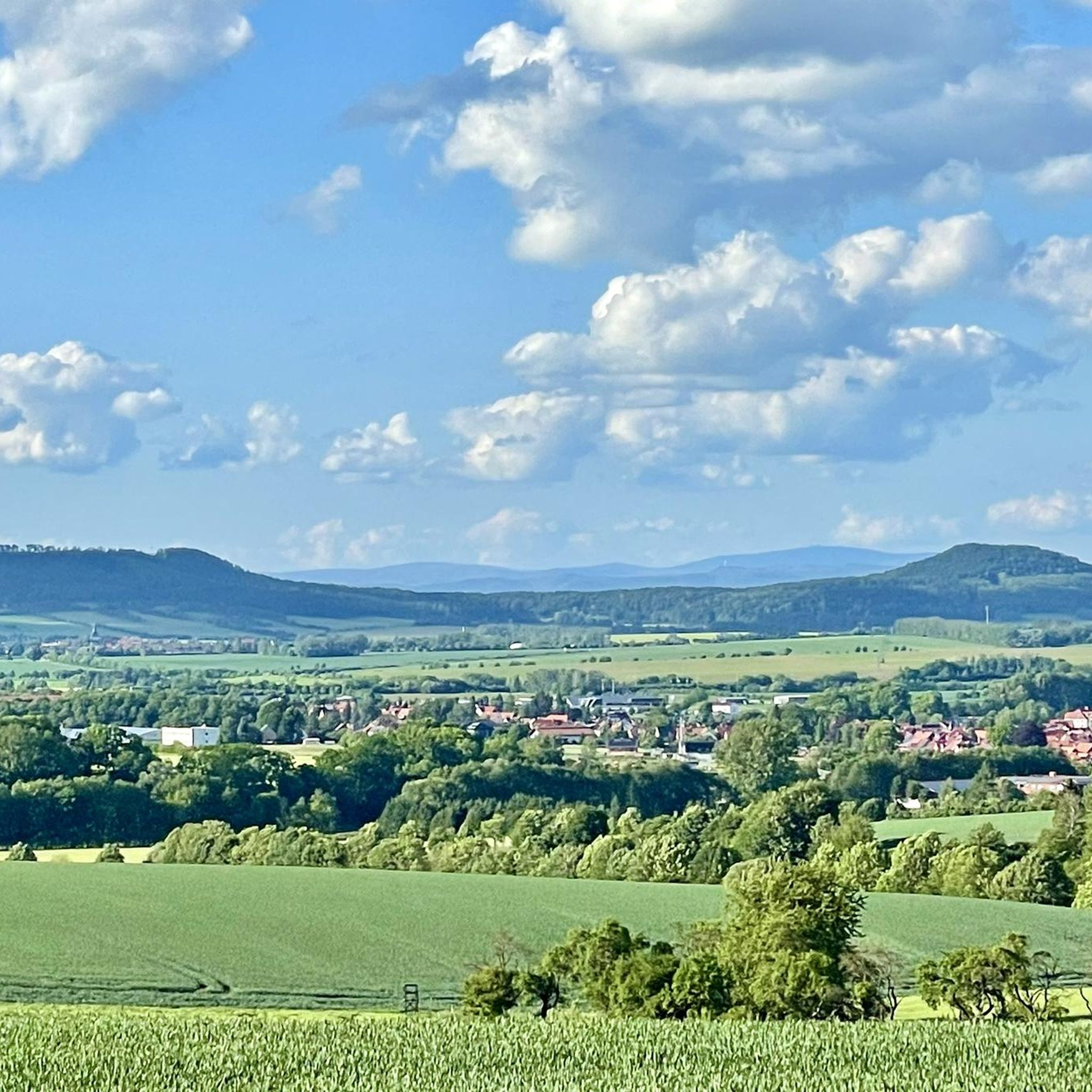
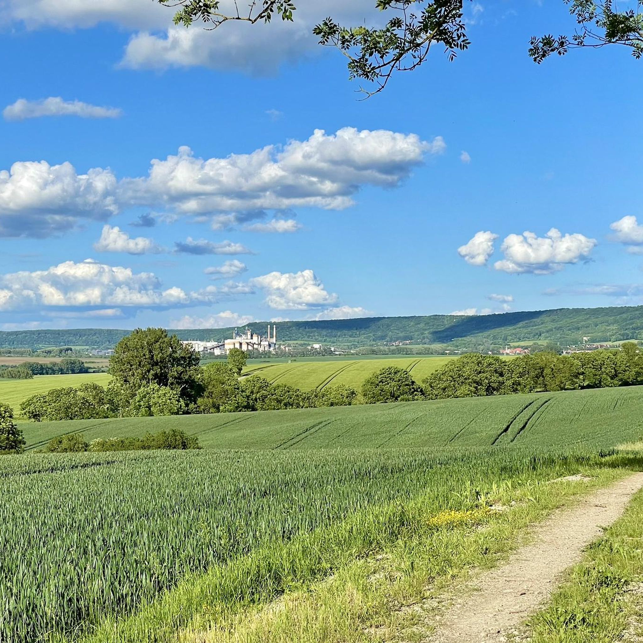
Hiking around Niederorschel offers diverse landscapes in the southern Eichsfeld region of Germany. The area is characterized by rolling hills, dense forests, and river valleys, providing varied terrain for outdoor activities. Notable features include limestone formations and ridges like the Dün, which offer panoramic views. The region's natural environment supports a network of trails suitable for different hiking preferences.
Best hiking trails around Niederorschel
- The most popular hiking route is Kugelbaum of Niederorschel – Mariengrotte Hausen loop from Niederorschel,…
Last updated: May 24, 2026
5.0
(6)
13
hikers
Moderate hike. Good fitness required. Easily-accessible paths. Suitable for all skill levels.
4.8
(8)
15
hikers
14.7km
04:09
300m
300m
Moderate hike. Good fitness required. Easily-accessible paths. Suitable for all skill levels.

Sign up for free
5.0
(3)
10
hikers
8.23km
02:17
140m
140m
Moderate hike. Good fitness required. Easily-accessible paths. Suitable for all skill levels.
5.0
(5)
19
hikers
6.76km
01:45
40m
40m
Easy hike. Great for any fitness level. Easily-accessible paths. Suitable for all skill levels.
5.0
(2)
9
hikers
4.62km
01:13
40m
50m
Easy hike. Great for any fitness level. Easily-accessible paths. Suitable for all skill levels.
Get access to more routes and recommendations from other explorers.
Sign up for free
Already have an account?
Our route recommendations are based on thousands of hikes, rides, and runs completed by other people on komoot.
Start today with a free account
Your next adventure awaits.
Login or Signup

Tips from the Community

An information board about the history of Dunkirk can be found directly at Dunkirk
0
0

Hello. Even though I'm not an atheist, I can only recommend everyone to visit the Sünkreuz and the "14 Stations" - the Passion of Christ, right near Deuna. Everything - the entire complex - is very well laid out and in excellent condition, as we were able to experience today.
0
0

Magnificent views and historic surroundings. A very beautiful and quiet place!
0
0

Seating around the Dünkreuz, a beautiful contemplative place, a real highlight. 🔝
0
0

Unfortunately, nothing of the castle complex remains, but the moat is still clearly visible.
0
0

In addition to the shelters, there is also an opportunity to park here.
0
0
There is a small chapel behind the Dünkreuz. Unfortunately, it was locked inside. But you could still catch a glimpse of the altar.
0
0
Wood carvings, a forest shepherd and an ornate wooden bench.
0
0
Frequently Asked Questions
How many hiking trails are available around Niederorschel?
Niederorschel offers a diverse network of over 30 hiking trails. These routes cater to various fitness levels, with 20 classified as easy, 14 as moderate, and 1 more challenging option, ensuring there's something for everyone.
Are there easy hiking trails suitable for beginners or families?
Yes, Niederorschel has 20 easy hiking trails perfect for beginners or families. An excellent option is the Schützenstieg Trail loop from Rüdigershagen, which is just over 4.6 kilometers long and features minimal elevation gain, making it a pleasant stroll through the local landscape.
Can I find circular hiking routes in the Niederorschel area?
Many of the trails around Niederorschel are circular, allowing you to start and end at the same point. For instance, the Kugelbaum of Niederorschel – Mariengrotte Hausen loop from Niederorschel is a popular circular route that connects local landmarks. The region also features the "Dünrundweg Deuna" and the "Bernterode circular hiking trail" which pass through scenic areas and historical sites.
What kind of natural landscapes and features can I expect to see while hiking?
Hikers in Niederorschel will encounter a varied landscape of rolling hills, dense forests, and river valleys. The prominent Dün ridge offers quiet forest paths and panoramic views. You can also explore interesting geological features like limestone formations, including the impressive "Pferdestall" rock crevice near the Kattstein summit, and trails along the Unstrut and Leine rivers.
Are there any interesting historical or cultural landmarks to explore on hikes?
Yes, several trails incorporate historical and cultural points of interest. You might pass old half-timbered houses, the Mariengrotte Hausen, or catch views of castles like Hanstein Castle and the ruins of Bodenstein Castle. The Scharfenstein Castle and Bodenstein Castle are notable attractions in the wider region.
Is Niederorschel a good place for dog-friendly hikes?
The natural environment of Niederorschel, with its extensive forests and open paths, is generally welcoming for dogs. Many trails offer ample space for dogs to walk alongside their owners. Always remember to keep dogs on a leash where required, especially near wildlife or agricultural areas, and to carry waste bags.
What is the best time of year to go hiking in Niederorschel?
Niederorschel offers enjoyable hiking experiences throughout much of the year. Spring brings blooming wildflowers and fresh greenery, while autumn showcases vibrant fall foliage across the forests. Summer is ideal for longer days, and even winter can be beautiful with snow-covered landscapes, though some paths might be muddy after rain or due to wild boar activity.
Are there options for public transport to reach hiking trailheads?
While specific public transport connections to every trailhead can vary, Niederorschel itself is accessible. For reaching more remote starting points, it's advisable to check local bus schedules or consider driving, as many trails are designed to be accessible by car with nearby parking options.
Where can I find parking for hiking trails around Niederorschel?
Many popular trailheads and starting points in and around Niederorschel, such as those near Rüdigershagen or Deuna, offer designated parking areas. Look for signs indicating hiker parking near the beginning of routes or in the vicinity of villages that serve as trail access points.
What do other hikers say about the trails in Niederorschel?
The hiking trails in Niederorschel are highly rated by the komoot community, with an average score of 4.6 stars from over 600 reviews. Hikers often praise the quiet woodlands, the diverse landscapes, and the panoramic views over the Eichsfeld basin, highlighting the well-maintained paths and the variety of routes available.
Are there any longer, more challenging hikes for experienced hikers?
Yes, for experienced hikers seeking a greater challenge, the region offers options like the "Eichsfelder Kesselsteig," a demanding 49-kilometer circular trail that showcases the highlights of the Eichsfeld basin with far-reaching views. Some trails also feature more adventurous, off-road sections leading to rock gorges, such as parts of the "Mystischer Kammpfad."
Can I find trails that offer panoramic views of the Eichsfeld region?
Absolutely. Many trails in Niederorschel provide expansive panoramic views. Routes around the Dün, such as the Dünkreuz Memorial Cross – View of Eichsfeld loop from Rüdigershagen, offer stunning vistas over the Eichsfeld basin. Viewpoints like Galgenberg also provide views stretching to the Bleicheröder Mountains and the Wipper valley.
Are there any trails that feature water bodies like rivers or reservoirs?
Yes, you can find trails that incorporate water features. The area includes hiking paths along the rivers Unstrut and Leine, offering pleasant riparian scenery. Additionally, the Ahlenbach Reservoir – Ahlenbachstausee Deuna loop from Rüdigershagen is a moderate route that takes you around a local reservoir.
Most popular routes around Niederorschel
Most popular attractions around Niederorschel

Get inspired with the komoot mobile app


Explore more
Browse the best Hikes in other regions.
