The best road cycling routes around Niederönz
4.4
(286)
6,104
riders
262
rides
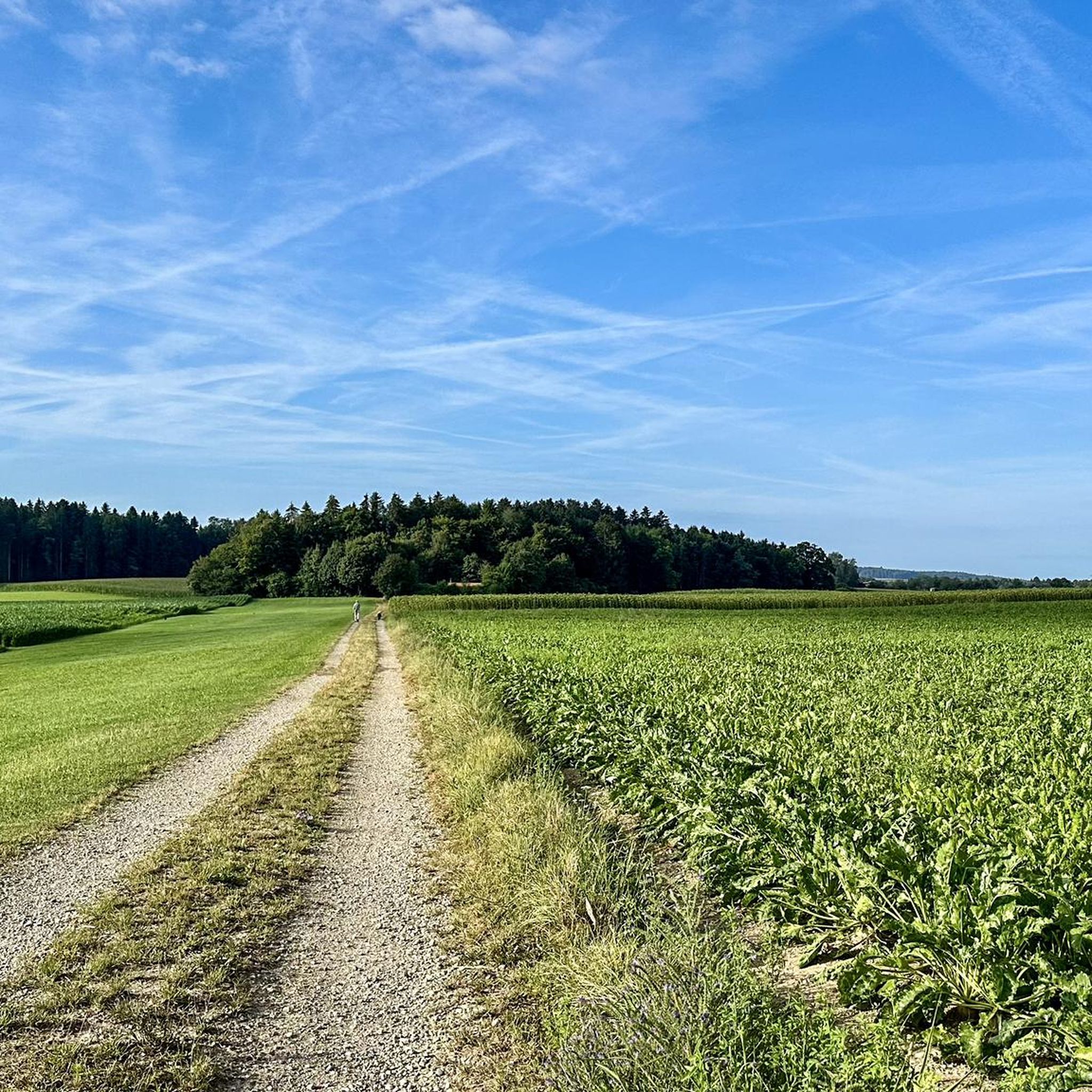
Road cycling around Niederönz, situated in the Bernese Mittelland, offers diverse terrain ranging from flat agricultural plains to gentle ascents. The region features elevations between 448 and 512 meters above sea level, with the Önzberg reaching 513 meters. Cyclists can expect routes through extensive agricultural lands, forested areas, and along the Önz river, providing varied scenery. Proximity to Burgäschisee and views of the Emmental Hills and Jura Mountains further enhance the cycling experience.
Best road cycling routes around Niederönz
- The…
Last updated: September 29, 2026
4.7
(7)
182
riders
Easy road ride. Great for any fitness level. Mostly well-paved surfaces and easy to ride.
4.0
(3)
39
riders
27.4km
01:17
280m
280m
Easy road ride. Great for any fitness level. Mostly well-paved surfaces and easy to ride.

34
riders
58.0km
02:44
640m
640m
Moderate road ride. Good fitness required. Mostly well-paved surfaces and easy to ride.
3.0
(2)
37
riders
55.6km
03:19
1,350m
1,350m
Hard road ride. Very good fitness required. Mostly well-paved surfaces and easy to ride.
4.0
(1)
23
riders
59.4km
02:54
810m
810m
Moderate road ride. Good fitness required. Mostly well-paved surfaces and easy to ride.
Get access to more routes and recommendations from other explorers.
Already have an account?
Our route recommendations are based on thousands of hikes, rides, and runs completed by other people on komoot.
Start today with a free account
Your next adventure awaits.
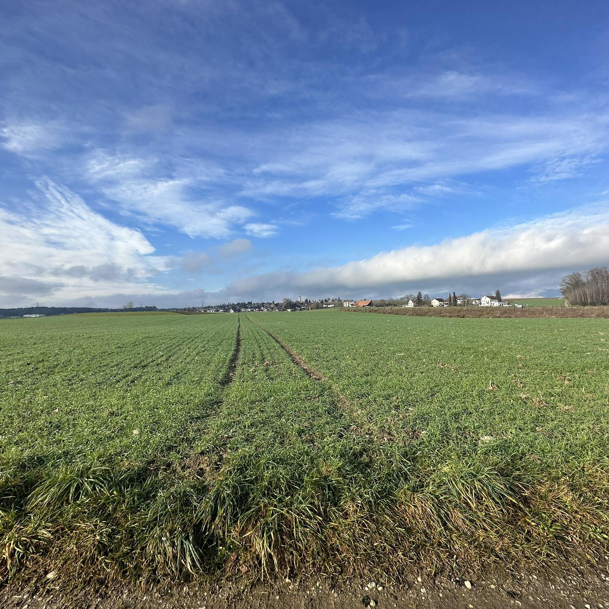
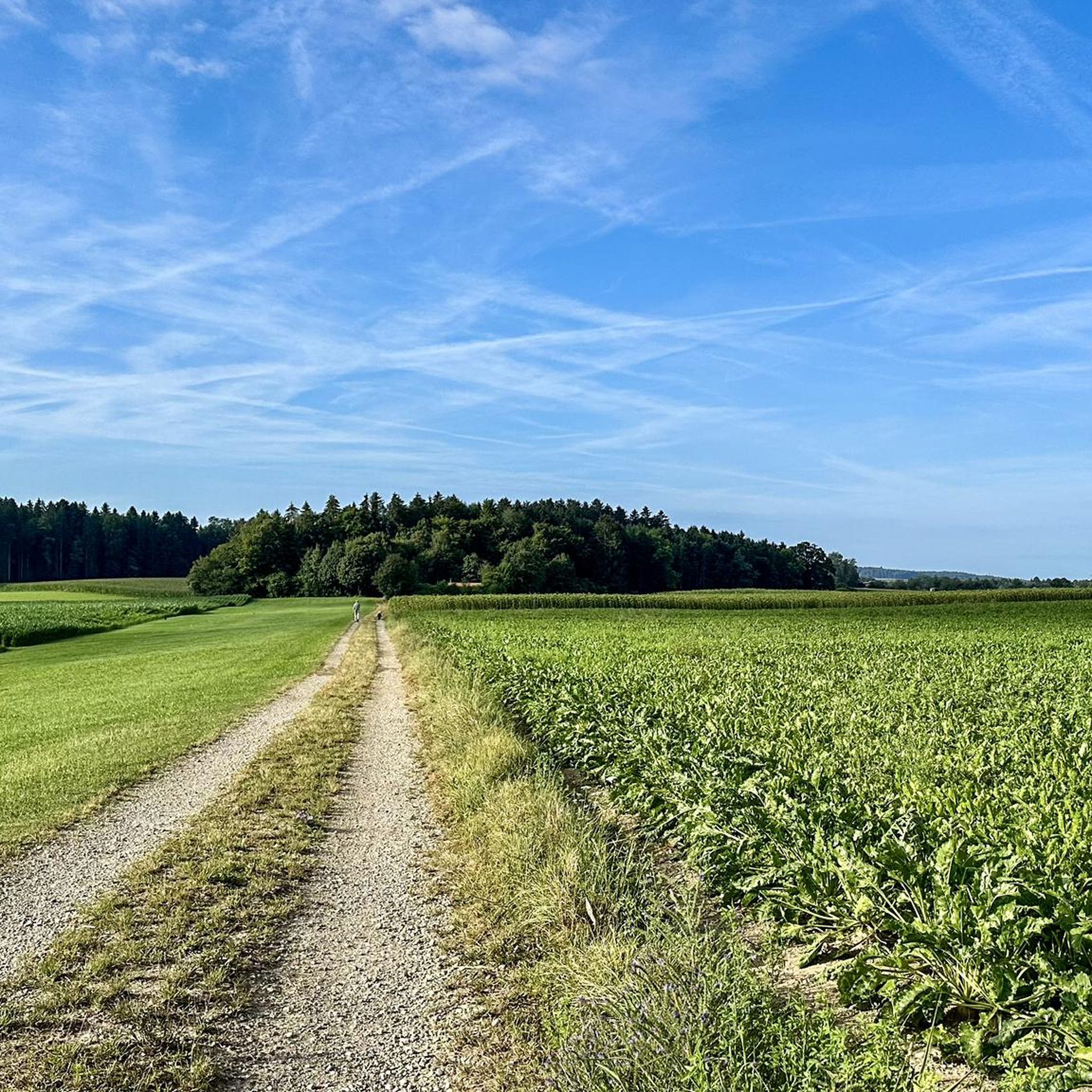
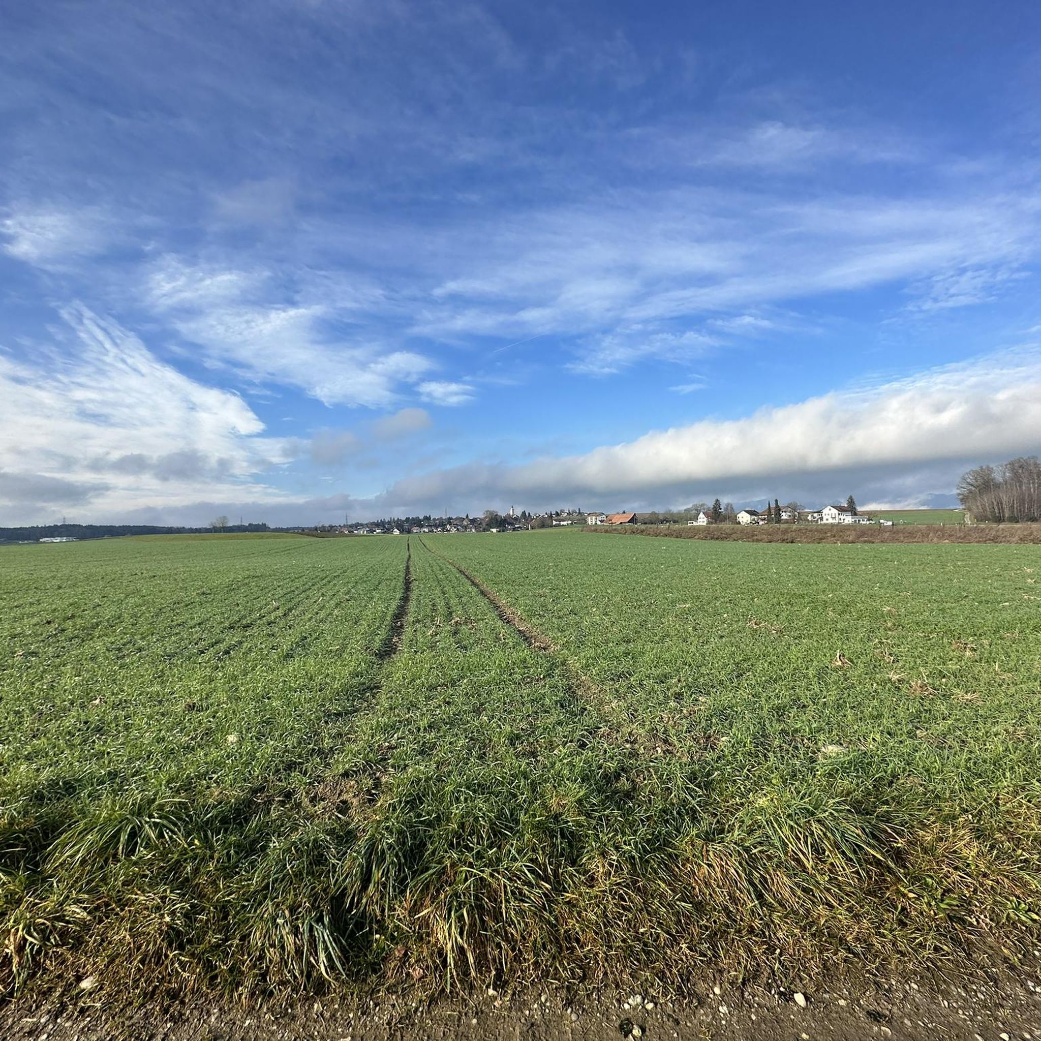
Tips from the Community

From Huttwil, it's initially gentle towards Eriswil. From there, the road climbs and the gradient becomes more challenging. You ride on the main road, but there is little traffic on this route.
0
0

Pass road with a constant gradient of over 20%.
0
0

Top restaurant for food and drinks
0
0

There are parking spaces directly at the pass
0
0

Impressive descent – definitely an experience. Disc brakes strongly recommended.
0
0

Besides the old wooden bridge, the Salt House is probably the most mentioned building in Wangen an der Aare
0
0

Very good food, friendly, nice rooms and bike battery charging station.
1
0

Traditional and historical old hotel and Restaurant, protected building since 1992
1
0
Frequently Asked Questions
How many road cycling routes are available around Niederönz?
There are over 270 road cycling routes around Niederönz, offering a wide variety of options for different skill levels and preferences. This includes 68 easy routes, 186 moderate routes, and 22 difficult routes.
What kind of terrain can I expect when road cycling near Niederönz?
The region around Niederönz offers diverse terrain, ranging from flat agricultural plains and picturesque rides through open fields to gently rolling sections and moderate ascents. You'll cycle through forested areas, along the Önz river, and enjoy distant views of the Emmental Hills and Jura Mountains.
What is the best season for road cycling in Niederönz?
The region is generally pleasant for road cycling from spring through autumn. The well-maintained paths and varied scenery, including blooming fields and shaded forests, make for an enjoyable experience across these seasons. Always check local weather conditions before heading out.
Are there routes suitable for beginners or those looking for an easy ride?
Yes, Niederönz offers 68 easy road cycling routes. A great option for a relaxed ride is the Fritzenfluh Scenic Road – Ey Bridge over the Emme River loop from Herzogenbuchsee, which is 41.5 km long and features scenic views with minimal elevation gain.
Are there challenging road cycling routes for experienced riders?
Absolutely. For experienced cyclists seeking a challenge, there are 22 difficult routes. One such route is the Balmberg Pass Summit – Bättlerchuchi viewpoint loop from Herzogenbuchsee, which covers 56 km and includes significant elevation changes, offering a demanding yet rewarding experience.
What do other cyclists say about the routes in Niederönz?
The road cycling routes around Niederönz are highly rated by the komoot community, with an average score of 4.6 stars from over 200 reviews. Cyclists often praise the varied terrain, well-maintained roads, and the beautiful mix of agricultural lands, forests, and river valleys.
Are there any scenic viewpoints along the road cycling routes?
Yes, many routes offer scenic views. You can expect distant views of the Emmental Hills and Jura Mountains. The Balmberg Pass Summit – Bättlerchuchi viewpoint loop from Herzogenbuchsee specifically highlights a viewpoint, providing stunning vistas after a challenging climb.
Can I find circular road cycling routes in the Niederönz area?
Yes, many of the road cycling routes around Niederönz are designed as loops, allowing you to start and end at the same point. Examples include the Fritzenfluh Scenic Road – Ey Bridge over the Emme River loop from Herzogenbuchsee and the Restaurant Bären Dürrenroth – Untersteckholz Obersteckholz loop from Herzogenbuchsee.
Are there any natural features or landmarks to see along the routes?
Yes, the routes often pass by charming natural features. The municipality is located along the Önz river, and many routes offer scenic views of the Lake Burgäschi. You might also encounter other lakes like Lake Aspi or Inkwilersee, and ride through extensive agricultural and forested areas.
Are there any cultural or historical points of interest that cyclists can discover?
While cycling, you might pass through Niederönz's old town, which features characteristic Bernese farmhouses from the 17th to 19th centuries. Other historical structures like the 15th-century "Heidenstöcke" and the 1738 "Untere Mühle" (Lower Mill) can also be discovered during rides through or near the village, offering a glimpse into local culture.
Are there any longer road cycling routes for endurance training?
Yes, for longer rides, consider routes like the Wynigen–Schmidigen Climb – Fritzenfluh Tunnel loop from Herzogenbuchsee, which is 60 km long and includes significant elevation gain, making it suitable for endurance training.
What are the elevation profiles like on the road cycling routes?
The elevation profiles vary significantly. Niederönz itself is in a weakly-relieved section, with elevations between 448 and 512 meters. Routes can range from relatively flat sections along river valleys to more challenging climbs, such as those found on the Balmberg Pass Summit – Bättlerchuchi viewpoint loop from Herzogenbuchsee, which features over 1300 meters of ascent.
Most popular attractions around Niederönz

Get inspired with the komoot mobile app


Explore more
Browse the best Road cycling routes in other regions.
