Niederkirchen bei Deidesheim
Niederkirchen bei Deidesheim
The best road cycling routes around Niederkirchen bei Deidesheim
4.5
(976)
12,911
riders
330
rides
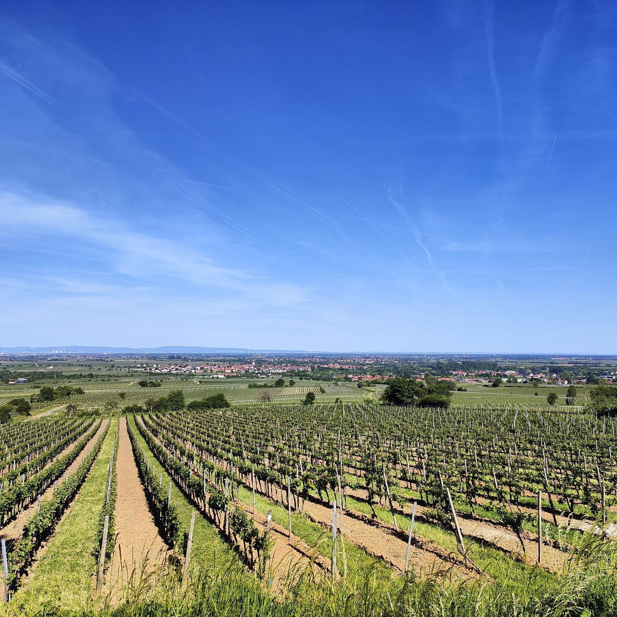
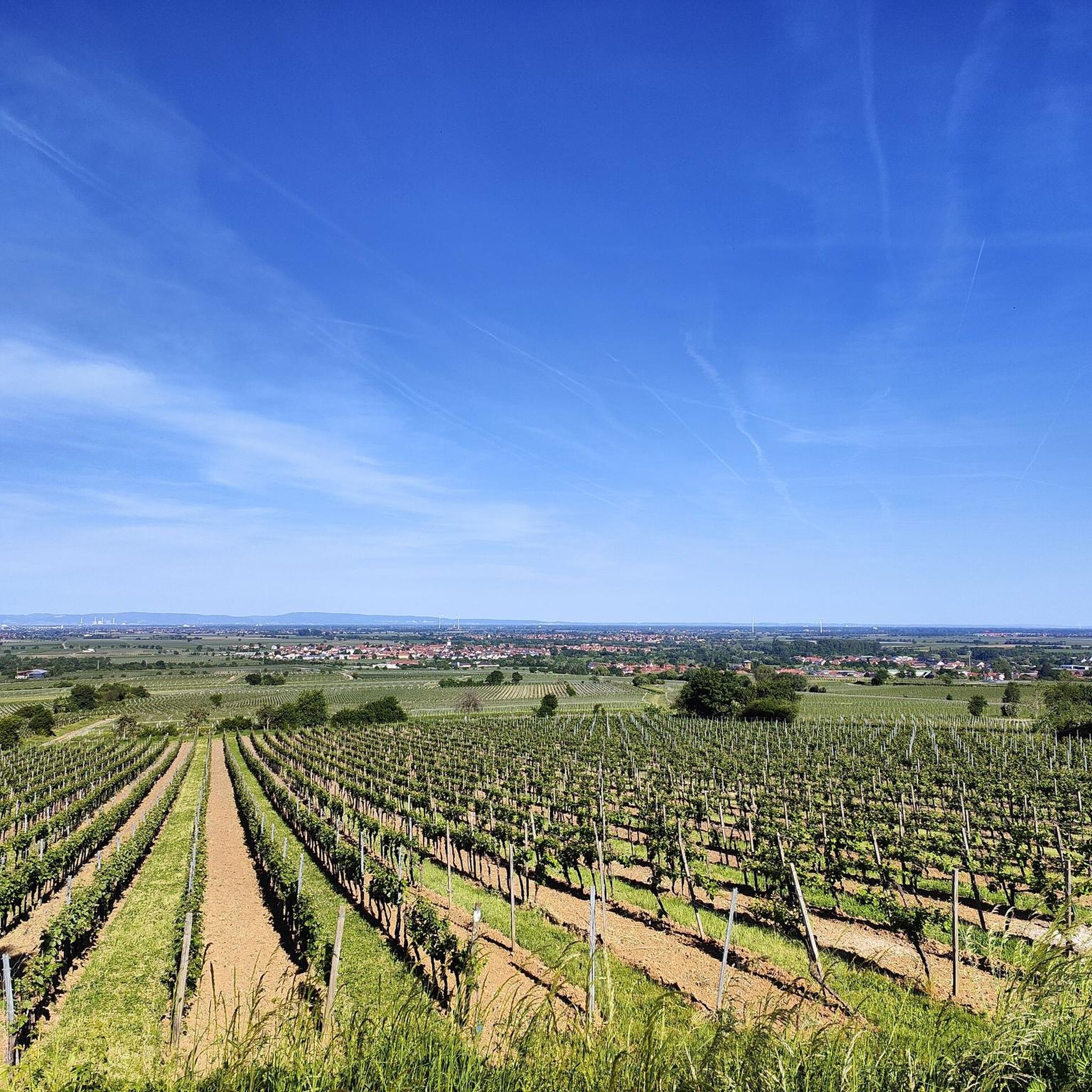
Road cycling routes around Niederkirchen bei Deidesheim traverse a landscape characterized by expansive vineyards and the Palatinate Forest. The region offers varied terrain, from the gentle ascents of the Rhine plain to the undulating vineyard landscapes and more challenging forest roads. Elevated points provide panoramic views over the Rhine plain. This geographical diversity caters to different fitness levels and cycling preferences.
Best road cycling routes around Niederkirchen bei Deidesheim
- The most popular road cycling route is Totenkopfstraße – Ascent of the Kalmit loop from Deidesheim, a 37.6 miles (60.4 km) trail that takes 3 hours 5 minutes to complete. This difficult route features a significant ascent towards the Kalmit.
- Another top favourite among local road cyclists is Benjental Valley – Silbertal Wall loop from Deidesheim, a moderate 34.5 miles (55.5 km) path. This route winds through valleys and offers varied terrain with notable elevation gain.
- Local road cyclists also love the Westrandstraße Cycle Path – Ascent of the Kalmit loop from Deidesheim, a 41.7 miles (67.1 km) trail leading through vineyard landscapes and towards the Kalmit, often completed in about 2 hours 58 minutes.
- Road cycling around Niederkirchen bei Deidesheim is defined by rolling vineyards, the Palatinate Forest, and views across the Rhine plain. The network offers options for easy, moderate, and difficult routes, accommodating various ability levels.
- The routes in Niederkirchen bei Deidesheim are highly rated by the komoot community with an average score of 4.5 stars from over 950 reviews. More than 12,000 road cyclists have used komoot to explore Niederkirchen bei Deidesheim's varied terrain.
Last updated: May 16, 2026
4.8
(64)
861
riders
60.4km
03:04
940m
940m
Hard road ride. Very good fitness required. Some segments of this route may be unpaved and difficult to ride.
4.7
(17)
316
riders
Moderate road ride. Good fitness required. Mostly well-paved surfaces and easy to ride.

Sign up for free
4.2
(27)
163
riders
56.6km
02:34
610m
610m
Moderate road ride. Good fitness required. Some segments of this route may be unpaved and difficult to ride.
89
riders
68.9km
03:05
690m
690m
Moderate road ride. Good fitness required. Mostly well-paved surfaces and easy to ride.
4.7
(7)
157
riders
28.1km
01:10
150m
150m
Easy road ride. Great for any fitness level. Mostly well-paved surfaces and easy to ride.
Get access to more routes and recommendations from other explorers.
Sign up for free
Already have an account?
Our route recommendations are based on thousands of hikes, rides, and runs completed by other people on komoot.
Start today with a free account
Your next adventure awaits.
Login or Signup
Popular around Niederkirchen bei Deidesheim

Tips from the Community

Beautifully located and pretty little wine village diagonally above Roth. Many wineries and some places to stop for refreshments.
5
0

Beautiful climb and little traffic - I'll be back :)
1
0

PfalzGraveller's description is absolutely spot on! Rode yesterday. A truly beautiful section in the wonderful Palatinate region, on a lovely, quiet county road and superb road bike asphalt.
0
0

Super beautiful paths through a beautiful landscape ⛰️🍇
3
0

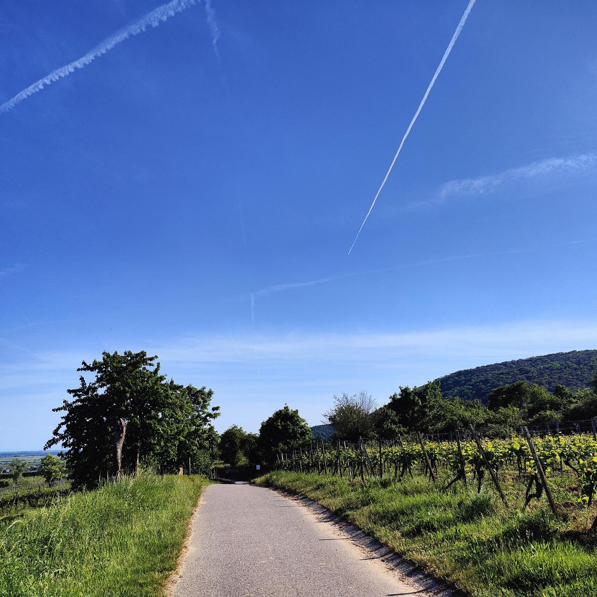
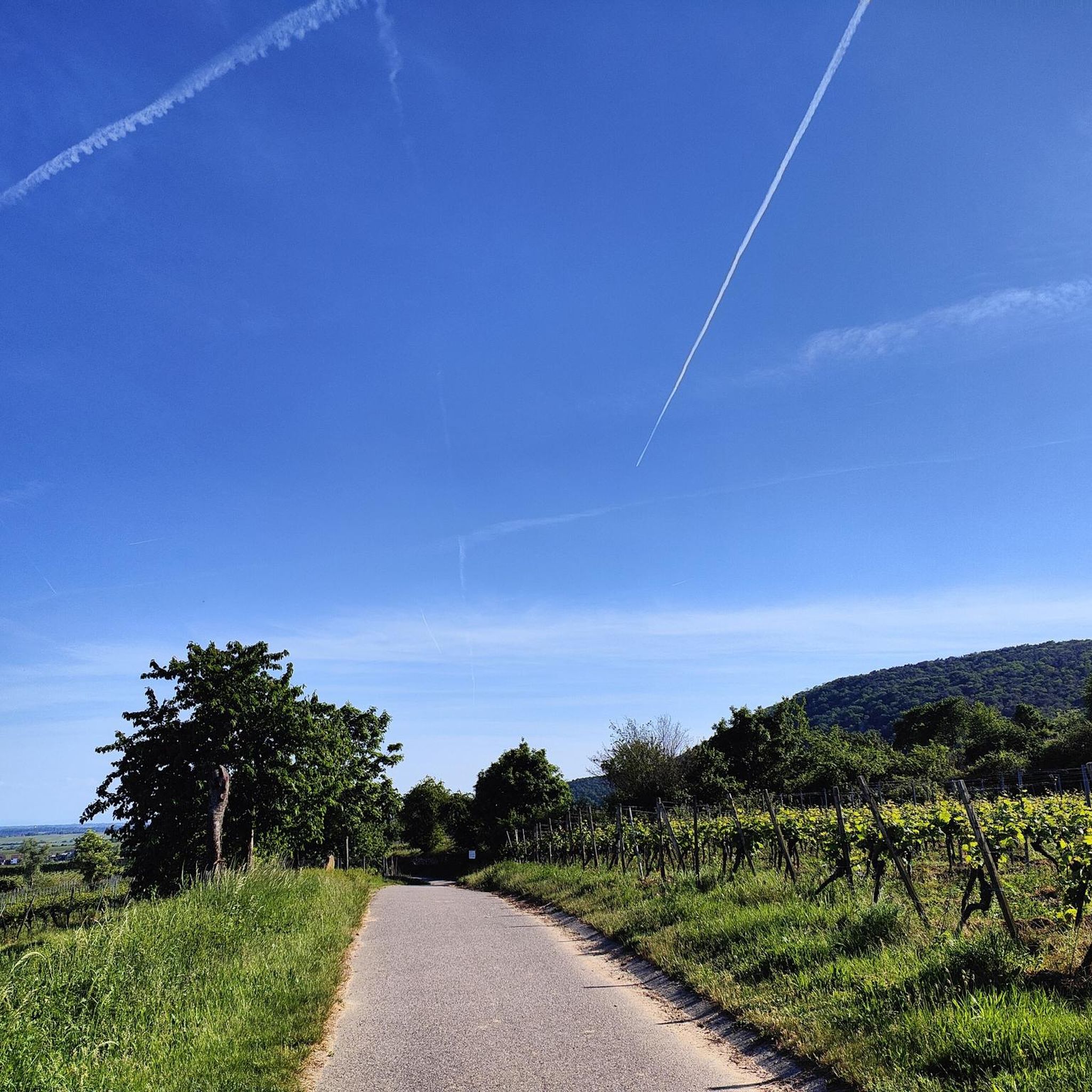
Nice shady driveway, good asphalt.
0
0

Probably the most famous balcony in Germany! Kol's state guests were photographed here, according to the entry in the Golden Book of Deidesheim
1
0
One of the most famous restaurants/hotels in Germany - Chancellor Kohl came here with his state guests
1
0
The connecting path runs directly along the railway line
0
0
Frequently Asked Questions
How many road cycling routes are available around Niederkirchen bei Deidesheim?
There are over 300 road cycling routes around Niederkirchen bei Deidesheim, catering to various skill levels. You'll find a wide selection of easy, moderate, and difficult routes to explore the region's diverse landscapes.
What kind of terrain can I expect on road cycling routes in Niederkirchen bei Deidesheim?
The region offers a varied terrain, from the gentle ascents of the Rhine plain to the undulating vineyard landscapes and more challenging forest roads within the Palatinate Forest. This geographical diversity ensures options for different fitness levels and cycling preferences.
Are there any easy road cycling routes suitable for beginners or a relaxed pace?
Yes, there are over 125 easy road cycling routes. For a more relaxed ride, consider the View Toward the Odenwald – Gimmeldingen Almond Blossom loop from Deidesheim, which is 27.0 km long with a gentle elevation gain, perfect for enjoying the scenery.
What are some challenging road cycling routes for experienced riders?
For experienced riders seeking a challenge, the region offers over 30 difficult routes. A notable option is the Totenkopfstraße – Ascent of the Kalmit loop from Deidesheim, a 60.4 km route featuring a significant ascent towards the Kalmit with over 930 meters of elevation gain.
Can I find circular road cycling routes in the area?
Yes, many routes in the region are designed as loops, allowing you to start and end in the same location. For example, the Benjental Valley – Silbertal Wall loop from Deidesheim is a moderate 55.5 km circular path that winds through valleys and offers varied terrain.
What are the best times of year for road cycling in Niederkirchen bei Deidesheim?
Spring is particularly beautiful with blossoming fruit trees transforming the landscape into a vibrant sea of flowers. The region is generally excellent for cycling from spring through autumn, offering pleasant temperatures and stunning vineyard views. Elevated points provide panoramic vistas that stretch over the Rhine plain, and on clear days, even the Black Forest mountain ridges are visible.
What kind of viewpoints can I expect along the road cycling routes?
Many routes offer stunning panoramic views over the Rhine plain, reaching as far as Heidelberg and the Odenwald. Specific highlights include the Eckkopf Observation Tower and the Waldgaststätte Pfalzblick, which provides views over the Rhine Plain and vineyards. The Weinbiet Summit also offers excellent vistas.
Are there any historical sites or attractions to visit along the routes?
Absolutely! You can incorporate cultural stops into your rides. The Deidesheimer Hut is a great stop, and the region is rich in wine culture with charming villages and historic buildings like the St. Martin's Church. The Westrandstraße Cycle Path – Kirrweiler Village Fountain loop from Deidesheim is a moderate route that passes through picturesque village landscapes.
What do other road cyclists say about the routes in Niederkirchen bei Deidesheim?
The road cycling routes in Niederkirchen bei Deidesheim are highly rated by the komoot community, with an average score of 4.5 stars from over 950 reviews. Over 12,000 road cyclists have used komoot to explore the region, often praising the diverse terrain, beautiful vineyard scenery, and challenging ascents like those found on the Westrandstraße Cycle Path – Ascent of the Kalmit loop from Deidesheim.
Are there places to stop for refreshments or a break along the road cycling routes?
Yes, as a wine village, Niederkirchen bei Deidesheim and its surroundings offer numerous opportunities for breaks. You'll find family wineries, the Winzerverein (winemaker's association), and picnic areas. There are also forest inns like the Lindemannsruhe Forest Inn and the Waldgaststätte Pfalzblick, perfect for a refreshment stop.
Can I find routes that pass by lakes or water features?
While the region is primarily known for its vineyards and forest, there are some beautiful lakes nearby. You might find routes that offer views of or pass close to features like the Basalt Lake South Quarry or the Basalt Lake (Nordbruch), providing a refreshing change of scenery.
Most popular routes around Niederkirchen bei Deidesheim
Most popular attractions around Niederkirchen bei Deidesheim

Get inspired with the komoot mobile app


Explore more
Browse the best Road cycling routes in other regions.
