The best cycling routes around Niedere Börde
4.6
(203)
835
riders
87
rides
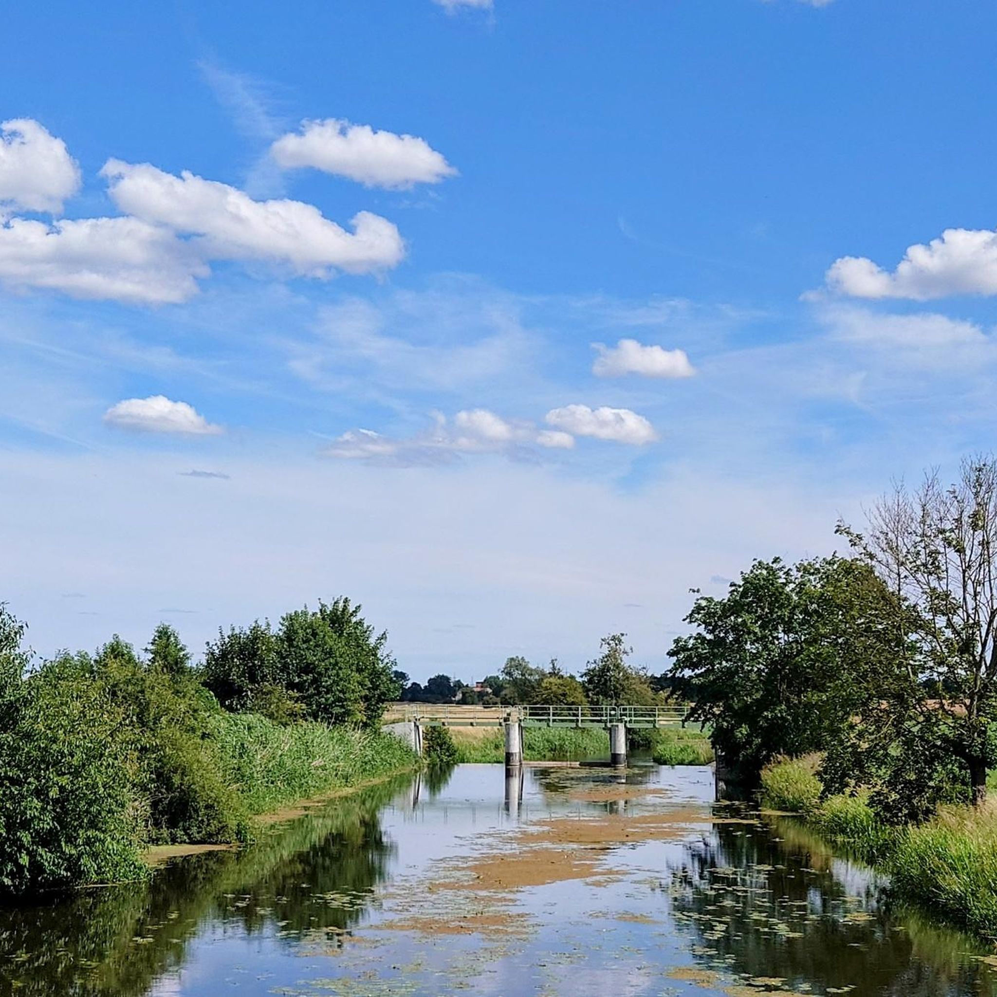
Touring cycling around Niedere Börde offers a network of routes characterized by generally flat topography, making it suitable for various fitness levels. The region features prominent waterways like the Mittelland Canal and the Ohre River, providing scenic and accessible paths. Cyclists will encounter open agricultural fields, old quarry ponds, and various lakes, contributing to diverse landscapes. This area in Saxony-Anhalt, Germany, is well-suited for relaxed cycling experiences.
Best touring cycling routes around Niedere Börde
- The most popular touring cycling route…
Last updated: August 20, 2026
4.3
(18)
101
riders
24.1km
01:31
60m
60m
Easy bike ride. Great for any fitness level. Mostly paved surfaces. Suitable for all skill levels.
4.6
(15)
40
riders
Easy bike ride. Great for any fitness level. Mostly paved surfaces. Suitable for all skill levels.

Sign up for free
4.1
(8)
26
riders
Hard bike ride. Good fitness required. You may need to push your bike for some segments of this route.
4.7
(7)
31
riders
Easy bike ride. Great for any fitness level. Mostly paved surfaces. Suitable for all skill levels.
4.7
(13)
29
riders
19.5km
01:14
110m
110m
Easy bike ride. Great for any fitness level. Mostly paved surfaces. Suitable for all skill levels.
Get access to more routes and recommendations from other explorers.
Sign up for free
Already have an account?
Our route recommendations are based on thousands of hikes, rides, and runs completed by other people on komoot.
Start today with a free account
Your next adventure awaits.
Login or Signup
Tips from the Community

The development of water transport technology becomes clear during a visit to the historic Rothensee ship lift. In 1938, the ship lift was put into operation. Leipzig designers opted at the time for a principle that had not yet been practically applied anywhere for a structure of this magnitude: A lift whose trough rested on two movable floats. With the help of the water-filled trough, which together with the two floats and the support structures has a total weight of around 5,400 tons, ships could thus "descend" from the Mittellandkanal and towards the Elbe. Depending on the water level of the Elbe, a gradient between 11 and 18 meters is compensated. With a trough length of 85 meters, a width of 12 meters, and a water depth in the trough of 2.5 meters, the dimensions are, however, too small for today's large motor cargo ships. For this reason, the ship lift was decommissioned in 2006. Since then, the state capital Magdeburg, supported by various stakeholders and with broad public approval, has been committed to its seasonal continued operation. With success: Since the summer of 2013, the ship lift has been seasonally operated again for tourist purposes. The ship lift in Magdeburg-Rothensee is a unique monument due to its technology and history. It is a brilliant design, its construction was an engineering masterpiece. It is the second oldest of only four ship lifts still in operation in Germany and the only two-float ship lift in Germany still in operation. A visit is worthwhile for this reason alone, as the immediate proximity of the state-of-the-art Sparschleuse to the ship lift, as a historical technical monument, makes the developments in water transport technology visible. Data and facts: Usable length: 85 meters Usable width: 12 meters Lift height: 10.45 to 18.46 meters depending on the Elbe water level Water depth in the trough: 2.58 meters Usable size: 82 meters x 9.5 meters x 2 meters Total moving weight: 5,400 tons https://www.magdeburg-tourist.de/Tourismus-Freizeit/System/Schiffshebewerk/
2
0
In 1882, a brick factory was founded in Hundisburg, which produced bricks until 1990. After its closure, a support association was founded in 1991, which transformed the former factory and the grounds into a technical monument. Today, the Technical Monument offers a unique insight into the history of brick production for Germany. In the former clay pit, a wetland biotope was created, and in the drying barn of the facility, a ceramics workshop that finds versatile appreciation from schools and artists. Many visitors are attracted by the annual Brickmakers' Festival, which takes place in May as part of the International Museum Day. Guided tours, rides on the narrow-gauge railway, and creative work with clay in the coarse ceramics workshop are not only well and gladly utilized on this day. Furthermore, the support association integrates the brick factory into the cultural scene in Hundisburg with its own regular concert events. The annual jazz concert as part of the SommerMusikAkademie at Hundisburg Castle has become an event of supra-regional importance. Scientific conferences and seminars make Hundisburg known throughout Germany. Admission: Adults: €3.00 Children (5 to 14 years): €1.50 https://www.haldensleben.de/Kultur-Tourismus/Tourismus/Sehensw%C3%BCrdigkeiten/
2
0

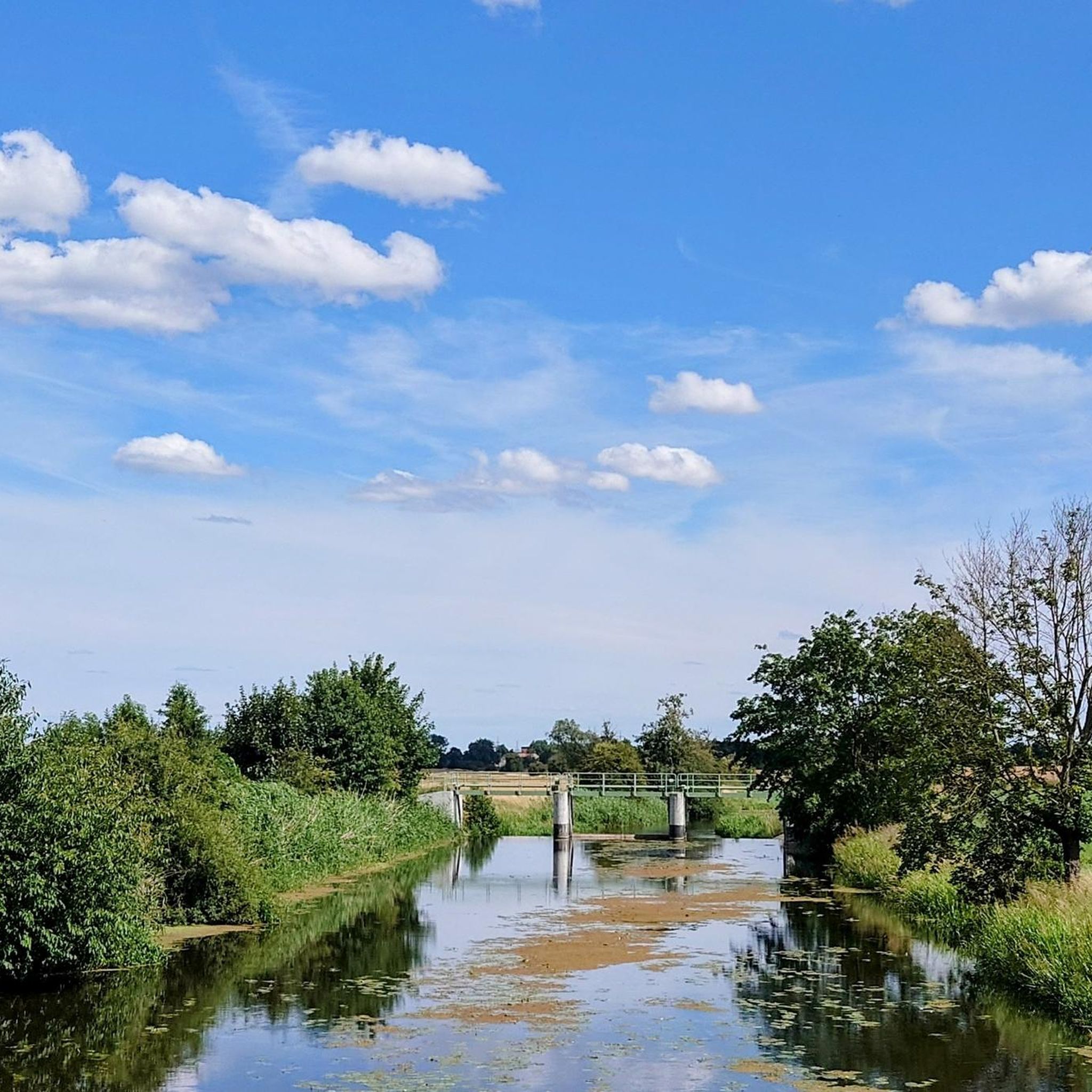
Small resting place for a drink break
0
0

On the Gräberweg east of the 'Küchentannen' grave, you can find further mostly destroyed graves: a Stone Age cemetery with 'row graves'
0
0
Magnificent gate, which has been well restored again
0
0

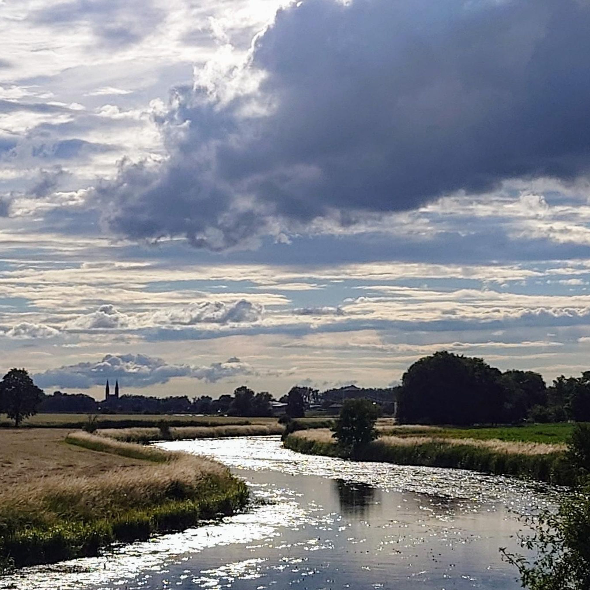
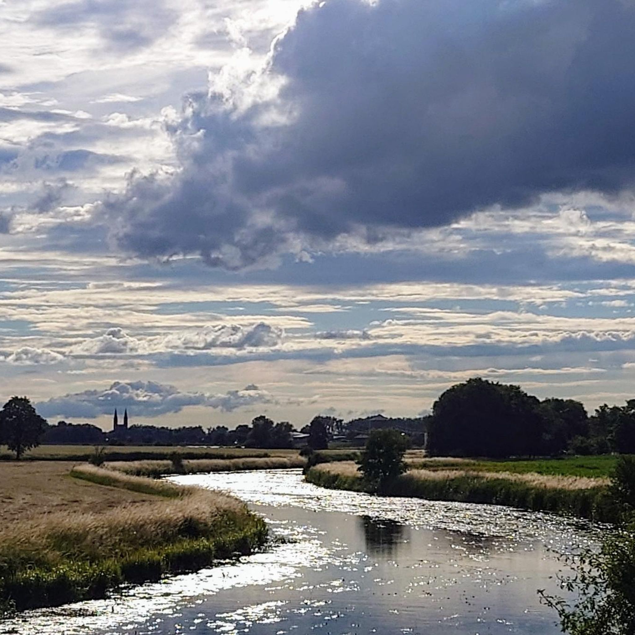
Beautiful perspectives and great route
0
0

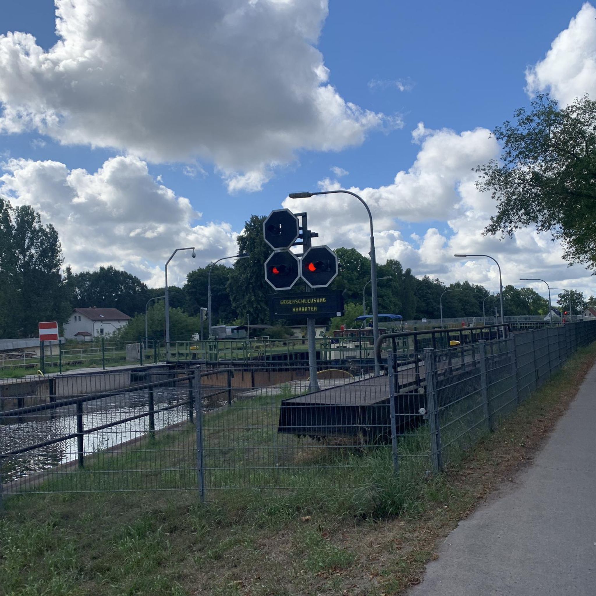
Beautiful gravel path along the canal. Suitable for gravel and mountain bikes; road bikes should take the paved sections below.
0
0

Unfortunately closed on Sundays.
1
0
Frequently Asked Questions
What is the general terrain like for touring cyclists in Niedere Börde?
Niedere Börde is characterized by its generally flat topography, making it highly suitable for relaxed touring cycling. You'll find routes along prominent waterways like the Mittelland Canal and the Ohre River, as well as through open agricultural fields and past serene old quarry ponds. The paths are often paved, catering to a wide range of fitness levels.
How many touring cycling routes are available in Niedere Börde?
There are over 90 touring cycling routes in Niedere Börde documented on komoot. The majority, about 76, are classified as easy, with 12 moderate and a few more challenging options available.
What natural features can I expect to see on a touring cycling route in Niedere Börde?
Touring cyclists in Niedere Börde will encounter diverse natural features. The region is defined by its extensive canal networks, including the Mittelland Canal and the Ohre River, offering scenic waterside paths. You'll also cycle through vast agricultural fields, past tranquil old quarry ponds, and various lakes, such as the Steinbruch Barleben Lake.
Are there any historical landmarks or unique sights along the touring cycling routes?
Yes, the region offers several interesting sights. A notable engineering marvel is the Magdeburg Water Bridge (Wasserstraßenkreuz Magdeburg), which is incorporated into some routes. While not directly on every route, historical sites like Hundisburg Castle are within the broader area and add a cultural dimension to your cycling experience. You might also encounter End Moraines of the Saale Glaciation, which are natural monuments.
What do other touring cyclists enjoy the most about cycling in Niedere Börde?
The area is highly rated by the komoot community, with an average score of 4.5 stars from over 180 reviews. Reviewers often praise the region's flat and accessible paths, particularly those along the canals, and the peaceful, varied landscapes that make for a relaxing cycling experience.
Are there any circular touring cycling routes in Niedere Börde?
Yes, many of the touring cycling routes in Niedere Börde are designed as loops. For example, the Mittelland Canal – Mittelland Canal loop from Jersleben is a popular choice, offering a scenic 22.8 km ride along the canal. Another option is the Viewpoint in Ostfalenpark – Steinbruch Barleben Lake loop from Dahlenwarsleben, which is an easy 14.3 km path.
What is the best time of year for touring cycling in Niedere Börde?
The generally flat terrain of Niedere Börde makes it enjoyable for touring cycling throughout much of the year. Spring and autumn offer pleasant temperatures and beautiful scenery, while summer provides longer daylight hours. The region's open landscapes mean routes can be exposed to wind, so checking the weather forecast is always advisable.
Are there any family-friendly touring cycling routes in Niedere Börde?
Given the predominantly flat topography and well-maintained paths, many routes in Niedere Börde are suitable for families. Easy routes like the Elbe-Havel Canal Path – Scenic stretch along the Ohre loop from Vahldorf, which is 20.2 km, are ideal for a relaxed family outing.
Where can I find scenic viewpoints along the touring cycling routes?
Several routes offer picturesque viewpoints. For instance, the Viewpoint in Ostfalenpark – Steinbruch Barleben Lake loop from Dahlenwarsleben provides views from Ostfalenpark. Additionally, the region research mentions viewpoints offering vistas of the Neustädter See and Nord District, especially during evening hours, which can be incorporated into your rides.
Are there any facilities or shelters along the touring cycling routes?
Yes, you can find various facilities and shelters. Some routes might pass by rest areas like the Abendröte Rest Area. There are also several huts and shelters in the wider area, such as a shelter and benches overlooking the Elbe, a cozy wooden pavilion, and the Backofenberg (Kielitzberg) Shelter, providing convenient stops.
Are there any longer touring cycling routes for experienced cyclists?
While many routes are easy, there are options for more experienced cyclists seeking longer distances. For example, the Scenic stretch along the Ohre – Bülstringen Canal Bridge loop from Groß Ammensleben is a challenging 58.2 km route that takes you through canal paths and along the Ohre River.
Most popular routes around Niedere Börde
Most popular attractions around Niedere Börde

Get inspired with the komoot mobile app


Explore more
Browse the best Cycling routes in other regions.
